| The Gregarious Railfan |
| Soldier Summit |
Google image
GPS: N 39.92851, W 111.08269
Scanner: UP 160.455 [23]; Utah Railway 161.145 [69]
Railroad: Union Pacific Utah Division, Provo Sub; Amtrak, Utah Railway, and BNSF all have trackage rights over
Soldier Summit.
Railfan Access: Two lane US-6 parallels the main line for much of the route, with turnouts for parking at various
places, including the summit. Tie Fork Rest Area on US-6 west of Summit gives good, safe views of the tracks.
To see a map of Tie Forks Rest area, clik here. Check out the pictures there on Google
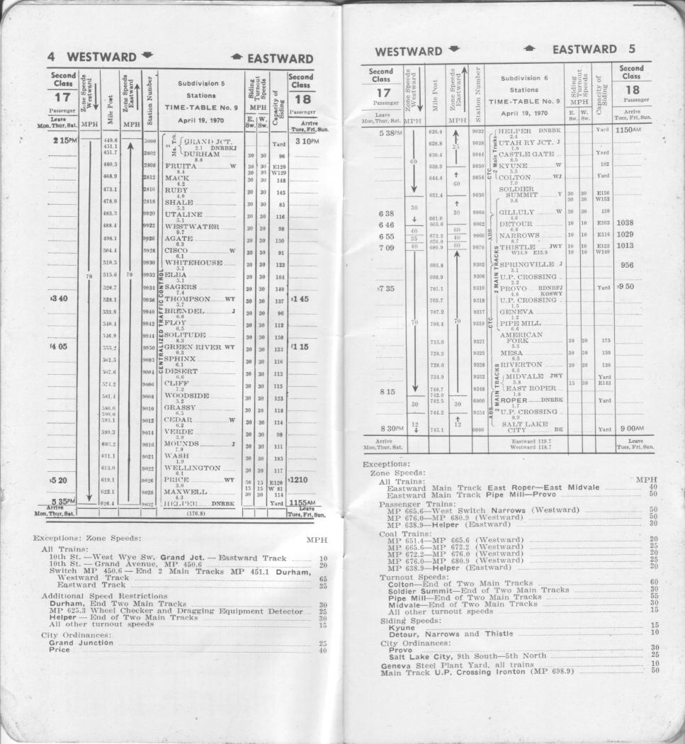
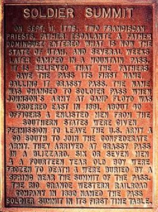
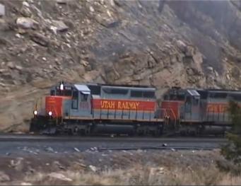
Description: Soldier Summit is the former Denver & Rio Grande Western Railroad, now Union Pacific’s crossing of the
Wasatch Mountains on the Overland Route. The summit reaches 7,439 ft. At one time the town of Summit, Utah
had a population of 2500 when the D&RGW had a service facility for helper engines, but that was no longer needed
and today the town of Soldier Summit is a virtual ghost town. The town is a railfan destination for it’s historical
significance, and scenic beauty. Amtrak’s California Zephyr uses this route but railfanning is limited because Summit sees
only 10 – 12 trains per day since mid 2013.
TRAINS Magazine Map: "All-time guide to Soldier Summit, Utah" TRAINS October 2013 (no link)
Scanner: UP 160.455 [23]; Utah Railway 161.145 [69]
Railroad: Union Pacific Utah Division, Provo Sub; Amtrak, Utah Railway, and BNSF all have trackage rights over
Soldier Summit.
Railfan Access: Two lane US-6 parallels the main line for much of the route, with turnouts for parking at various
places, including the summit. Tie Fork Rest Area on US-6 west of Summit gives good, safe views of the tracks.
To see a map of Tie Forks Rest area, clik here. Check out the pictures there on Google
Description: Soldier Summit is the former Denver & Rio Grande Western Railroad, now Union Pacific’s crossing of the
Wasatch Mountains on the Overland Route. The summit reaches 7,439 ft. At one time the town of Summit, Utah
had a population of 2500 when the D&RGW had a service facility for helper engines, but that was no longer needed
and today the town of Soldier Summit is a virtual ghost town. The town is a railfan destination for it’s historical
significance, and scenic beauty. Amtrak’s California Zephyr uses this route but railfanning is limited because Summit sees
only 10 – 12 trains per day since mid 2013.
TRAINS Magazine Map: "All-time guide to Soldier Summit, Utah" TRAINS October 2013 (no link)
Map
Links
Pictures Google images
Time Table
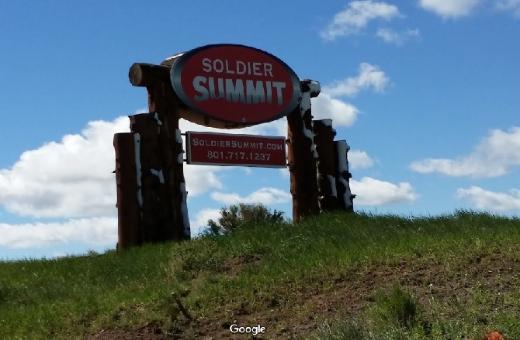
Soldier Summit Sign (advertising for real estate)
Tie Forks Rest Area
Soldier Summit Plaque
Nearby points of interest:
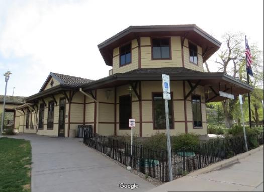
The Western Mining and Railroad Museum Helper, UT N 39.68277, W 110.85499
The Thistle Mudslide site: In 1983, a massive mudslide descended upon and blocked the D&RGW main line, forcing the
railroad into a six-mile right-of-way relocation and the drilling of two new tunnels.
The Thistle Mudslide site: In 1983, a massive mudslide descended upon and blocked the D&RGW main line, forcing the
railroad into a six-mile right-of-way relocation and the drilling of two new tunnels.