Note: The information presented here is a
compilation of the sources cited below, I do not take credit for any of it:
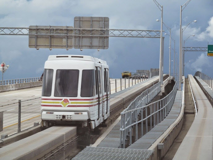
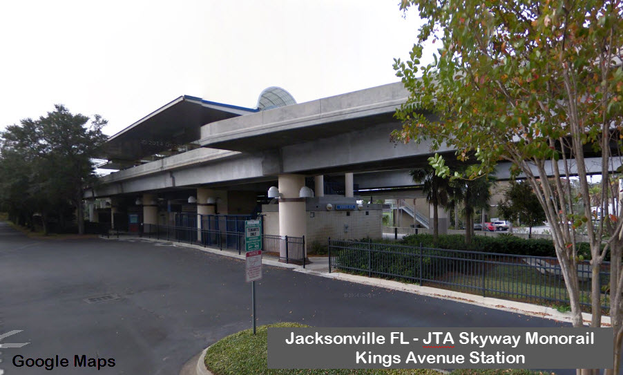
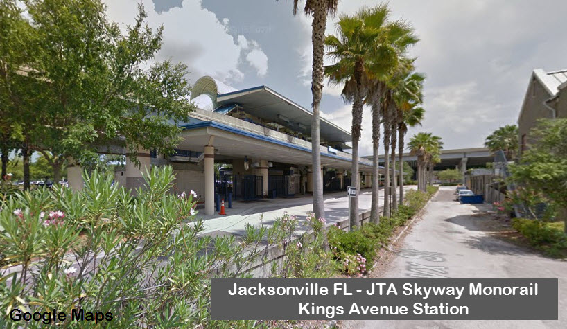
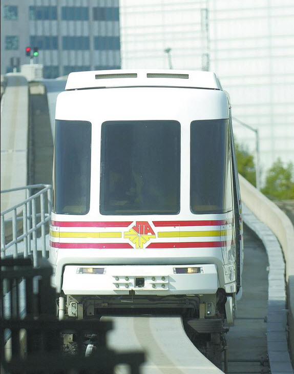
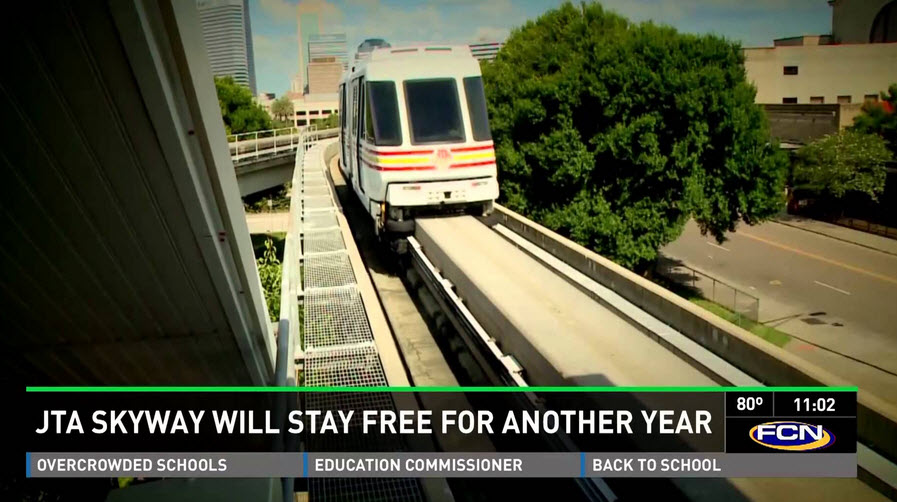
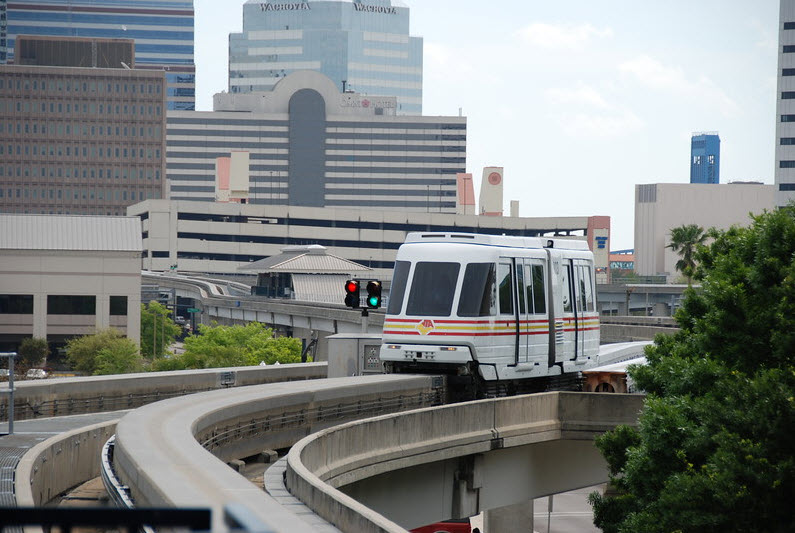
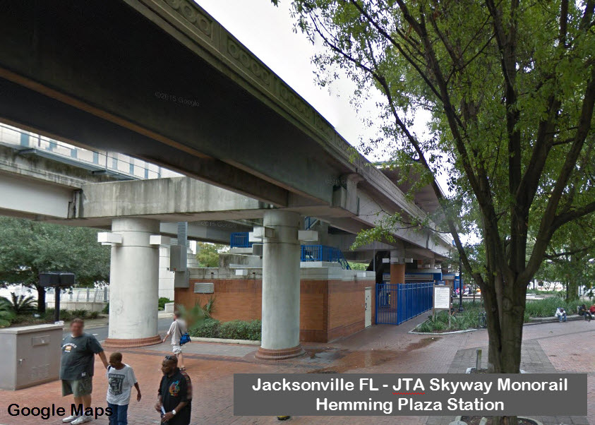
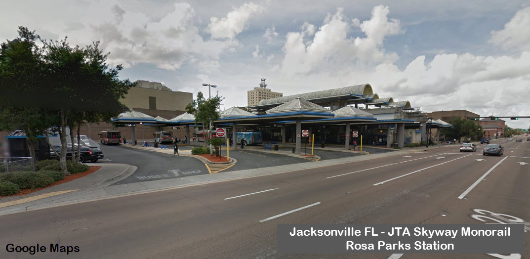
JTA Skyway is an automated monorail system offering low cost and convenient service. Enabling
patrons to glide above the St. Johns River and downtown city streets, the Skyway serves points of interest on both sides of the river. The
Skyway provides easy access to the workplace, hotels, restaurants, and entertainment venues. The Skyway is interconnected with JTA's Trolley
Service, providing riders expanded mobility in the downtown area.
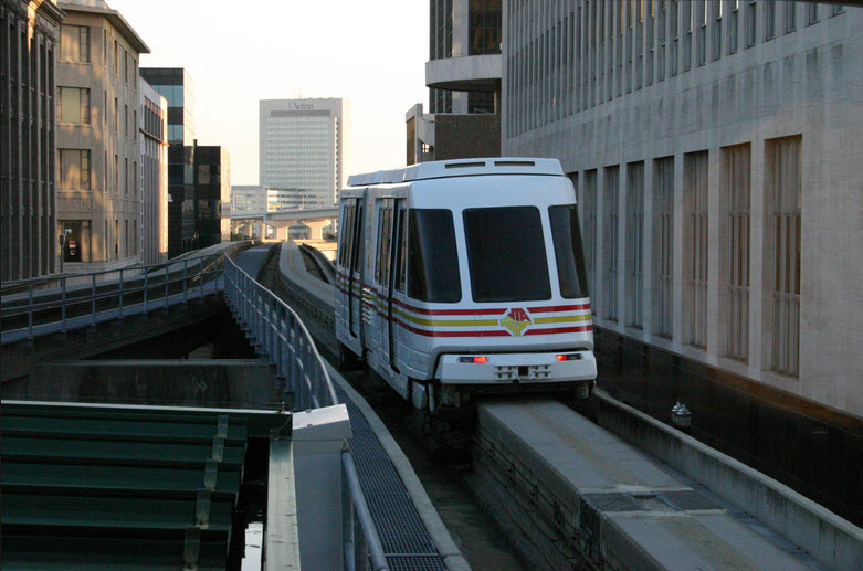
Gliding above the St. Johns River and downtown city streets, the JTA Skyway serves points of interest on both sides of the river. The Skyway
provides riders with easy access to their workplace, hotels, restaurants and entertainment venues. The JTA Skyway is an automated system offering low cost and convenient
service to downtown patrons and employees. The trains depart the stations approximately every three minutes during peak periods and about every six minutes all other times.
For a mere 35 cents per ride you can enjoy a fun, uncrowded and
convenient journey through the center of the downtown central business
district courtesy of the Automated Skyway Express.
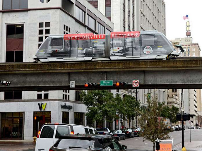
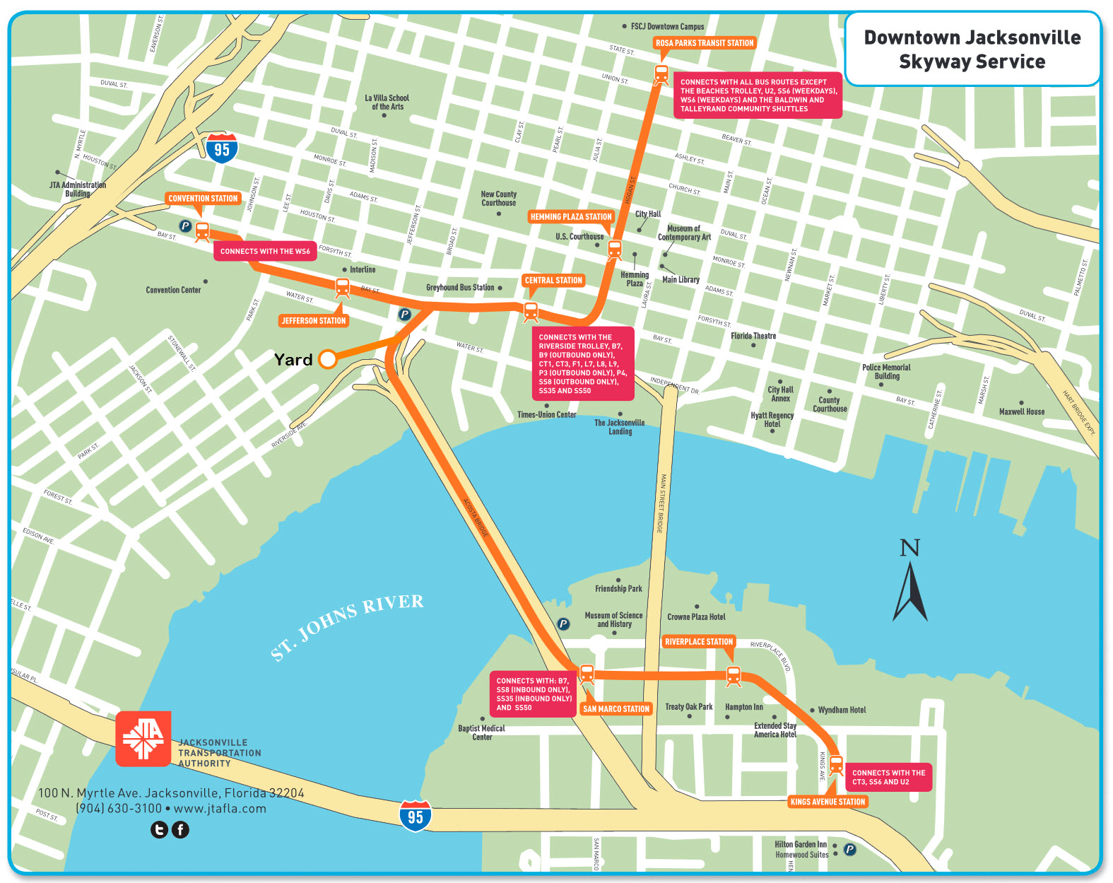
The Skyway is an
elevated monorail that slices through the center of the Northbank, then
forks to either whisk passengers across the Acosta Bridge to the Southbank
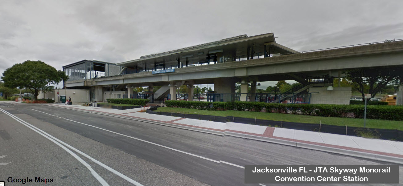
and its hotels or to send them westward to the Prime Osborne Convention
Center. It is very convenient to most hotels, restaurants, venues and points
of interest on the Southbank and in the central Northbank, with stops
positioned within about a block of each of the following (in order from
south to north):
Spiller Vincenty Gallery, Club Indo/Exo
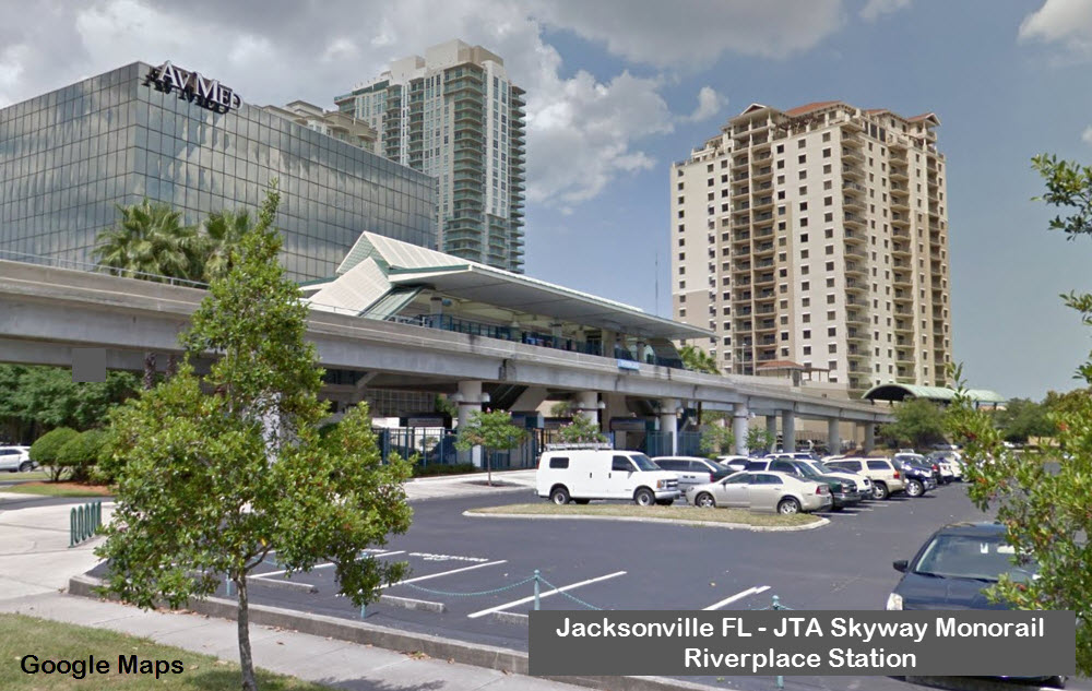
Radisson Riverwalk Hotel, Chart House Restaurant, Southbank Riverwalk, river cruises, water taxis
Hilton Hotel, Hampton Inn, Extended Stay America, Ruth’s Chris Steakhouse, Morton’s of Chicago, Southbank Riverwalk, Treaty Oak Park, river cruises, water taxis
Museum of Science & History, Maritime Museum, Friendship Fountain, Southbank Riverwalk, River City Brewing Company, water taxis
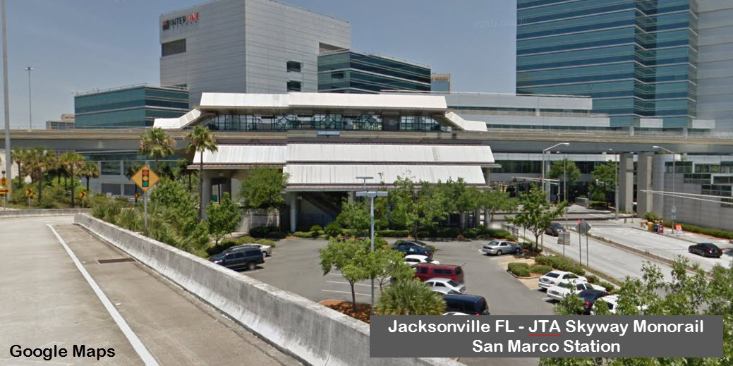
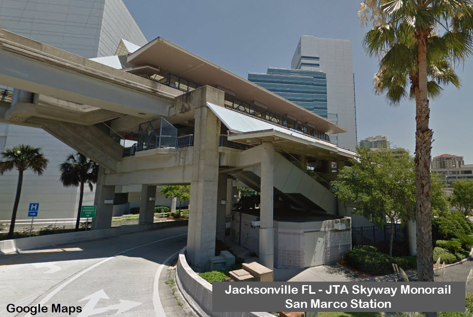
Jacksonville Landing, Omni Hotel, T-U Performing Arts Center, Northbank Riverwalk, Juliet’s
Jacksonville Museum of Modern Art, Hemming Plaza, City Hall
Florida Community College Downtown Campus
The track does not extend east of the Jacksonville Landing to points like the Adam's Mark Hotel, the Florida Theatre and the Sports Complex, but there is a free trolley service than can
take you in that direction from near the Skyway route.
Contact Information:
121 E. Forsyth St.
Suite 200
Jacksonville, FL 32202
904.630.3181
Hours of Operation:
Monday through Friday: 6 a.m. to 9 p.m.
Weekends: special events only
HISTORY
The Jacksonville (Florida) Automated Skyway Express, or "Skyway" has evolved after many years of study by both citizens and professional
transportation planners. The concept of a downtown peoplemover was originated in the early 1970's as part of a comprehensive mobility plan. The
first study was completed by the Florida Department of Transportation and the planning department of the City of Jacksonville. In 1977, these two
agencies brought the project to the Jacksonville Transportation Authority (JTA) for continued development and implementation. Following completion of
an 18-month feasibility study, Jacksonville was selected by the federal Urban Mass Transit Administration as one of seven cities to participate in
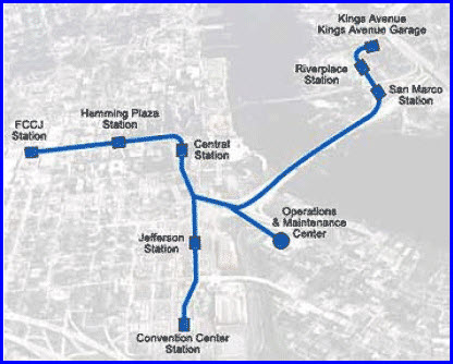
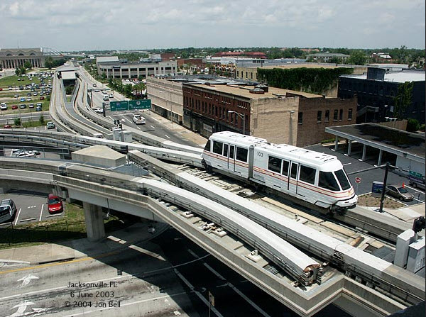
the nationwide Downtown Peoplemover Program. The plan called for the construction of a 2.5 mile Phase I system see map of routes and station locations).
Other examples of operating downtown people mover systems are those in Miami and Detroit.
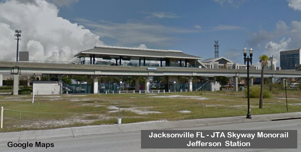
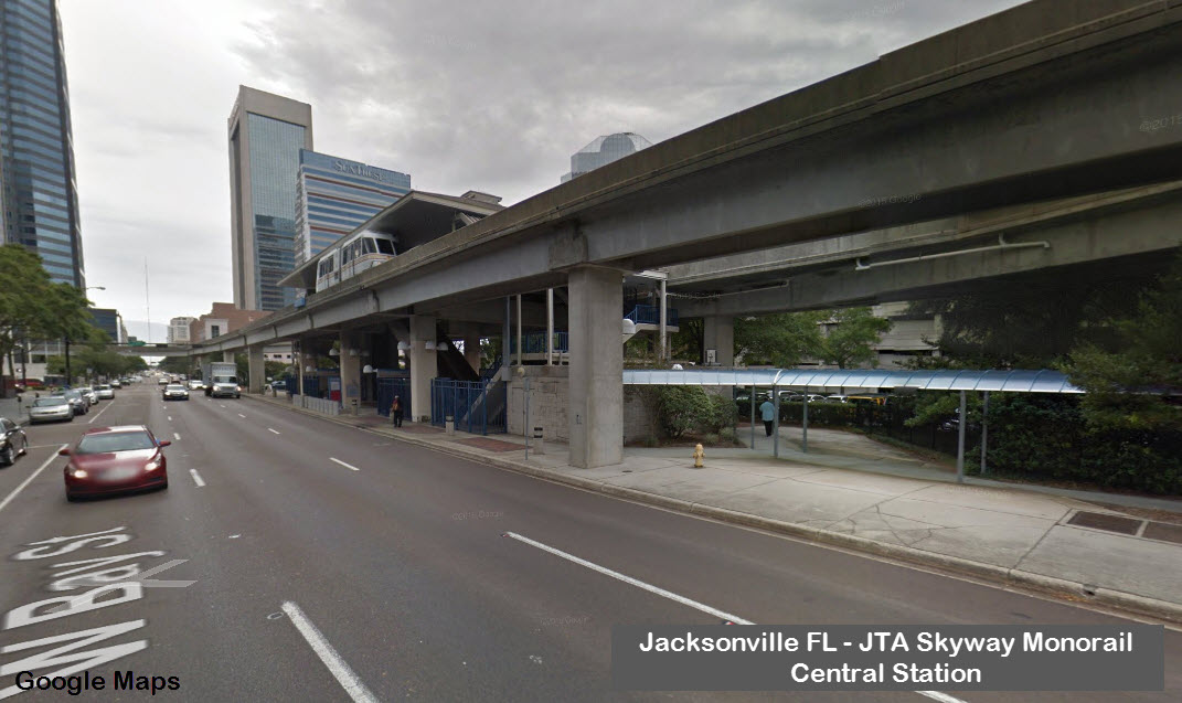
Work on the initial 0.7 mile Phase I-A segment was begun in 1984. It had only three stations (Terminal, Jefferson and Central). This work was
completed in 1989 and two vehicles operating in a double shuttle configuration were placed in service. The technology used was the French
MATRA system.
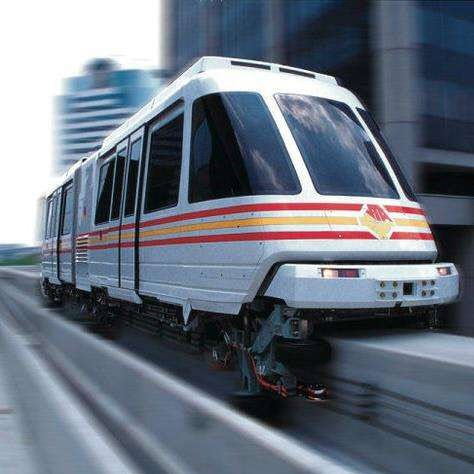
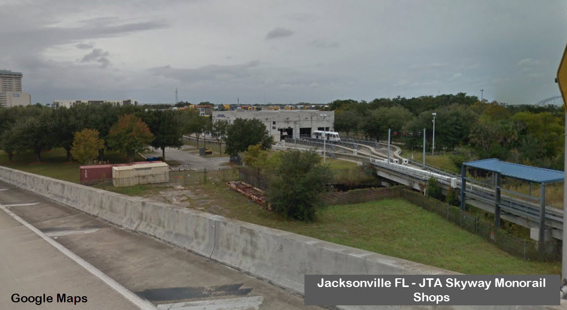
Implementation of the full 2.5 mile Phase I system began in 1992. Negotiations with MATRA to provide systems for the new extensions were not
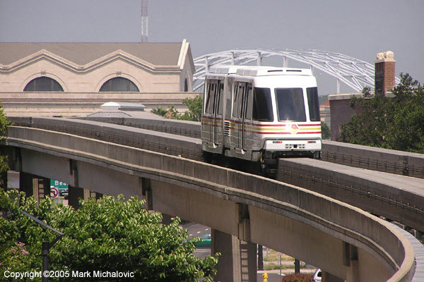
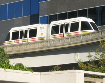
successful. In October of 1994, a new supplier - the Bombardier Corporation - was awarded the contract for the new extensions as well as the job of
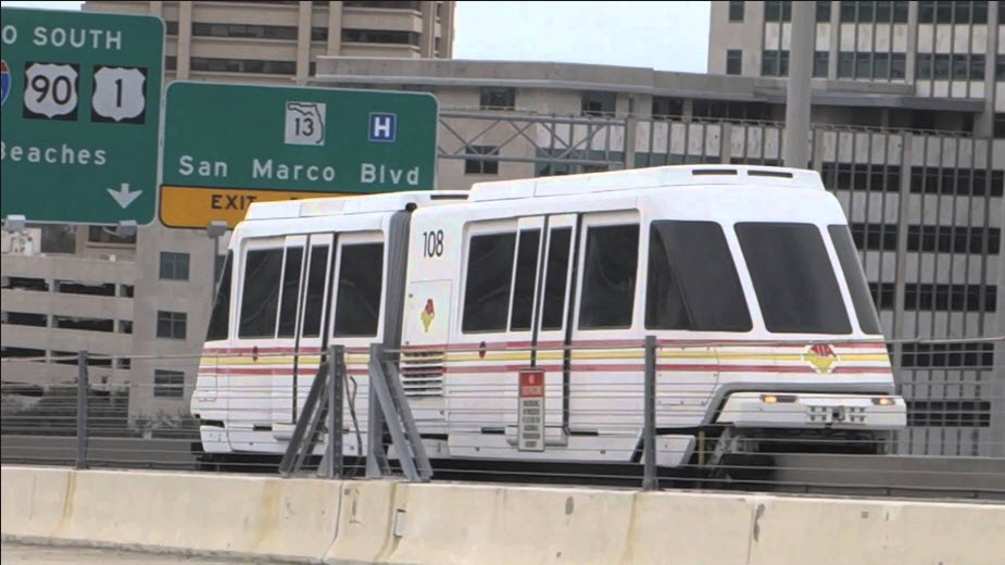
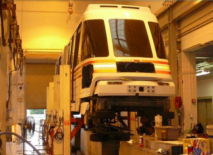
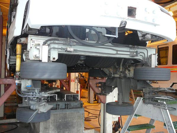
replacing the MATRA technology that was operating on Phase I-A. Bombardier is supplying a version of its UM III monorail vehicles which are like those
currently in use at the Tampa International Airport in Florida. These new vehicles operate on a monorail beam, 34 inches (86.4 cm) wide and 28
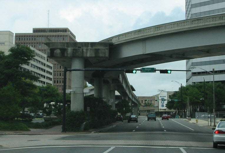
inches (71.1 cm) deep. These beams rest on a guideway that is 11 feet (3.35m) wide and is constructed with a 30-inch (76.2) high parapet wall on each
side to reduce noise, aid drainage and provide for personnel protection.
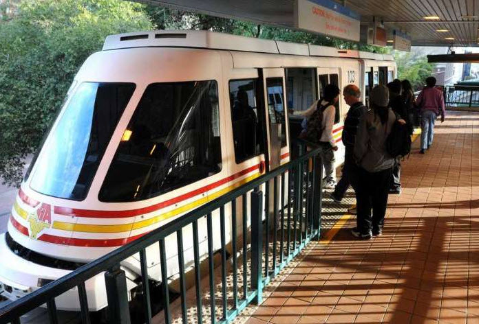
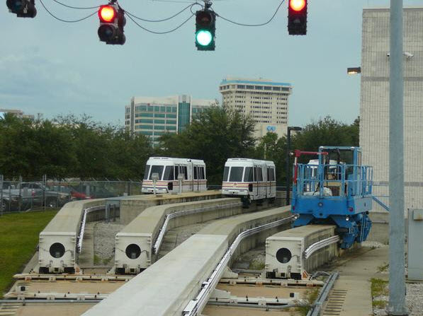
All stations are 120 (36.6 m) long and designed to accommodate anywhere from a two to a six car train consist. Station platform widths are typically
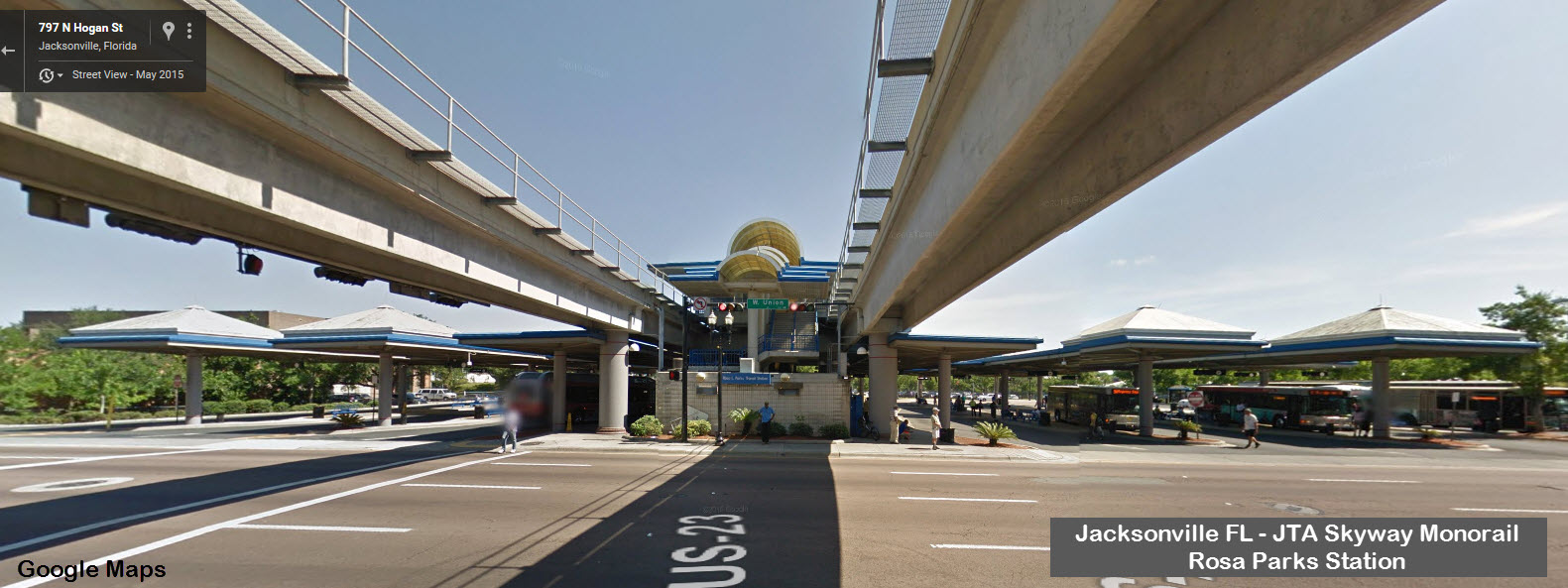
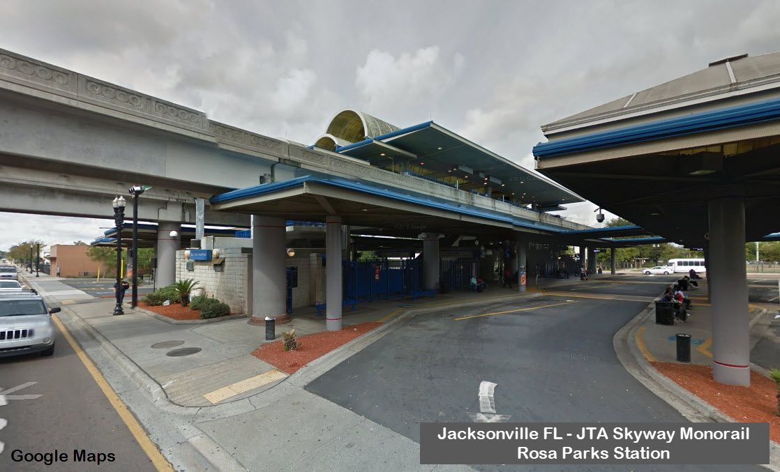
28 feet (8.5 m) but may be wider at the three multimodal stations see the photo of the intermodal Florida Community College at Jackson
(FCCJ) station). There are 18 bus bays in this station as it is Jacksonville's major bus transit transfer point. It has won awards for its
design and is regarded as a state-of-the-art intermodal transit station. Another 8 excellent photos taken by Jon Bell are also available.
The maximum waiting time for vehicles has been set at 180 seconds or three minutes. The maximum line capacity is 3,600 persons per hour per lane
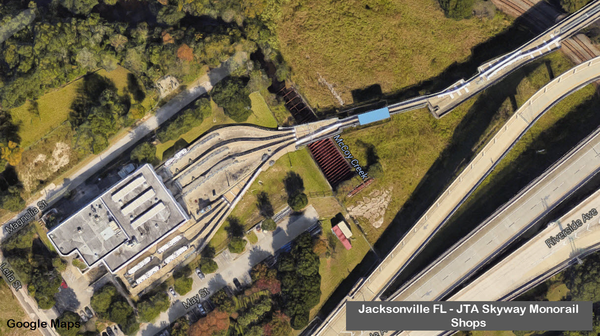
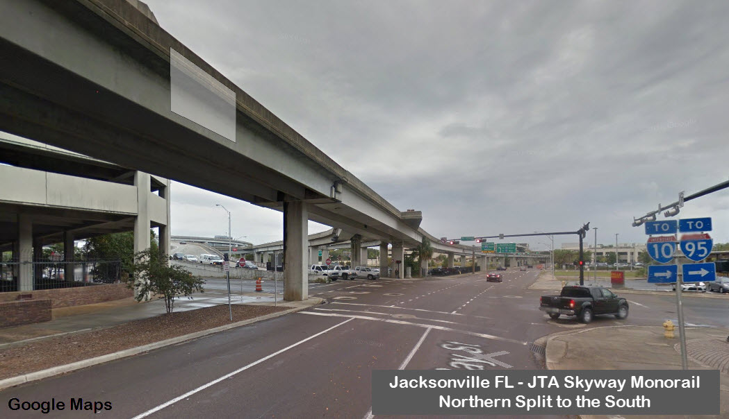
without need to replace system components. As can be observed on the system map, the point of confluence of the primary routes, the Y-junction switch,
presents a significant operation constraint on the system limiting the number of trains that can be operated on the system at any one time.
Construction of the final phase of the 2.5 mile Phase I system was completed in 1999. More detail is provided at the JTA website.
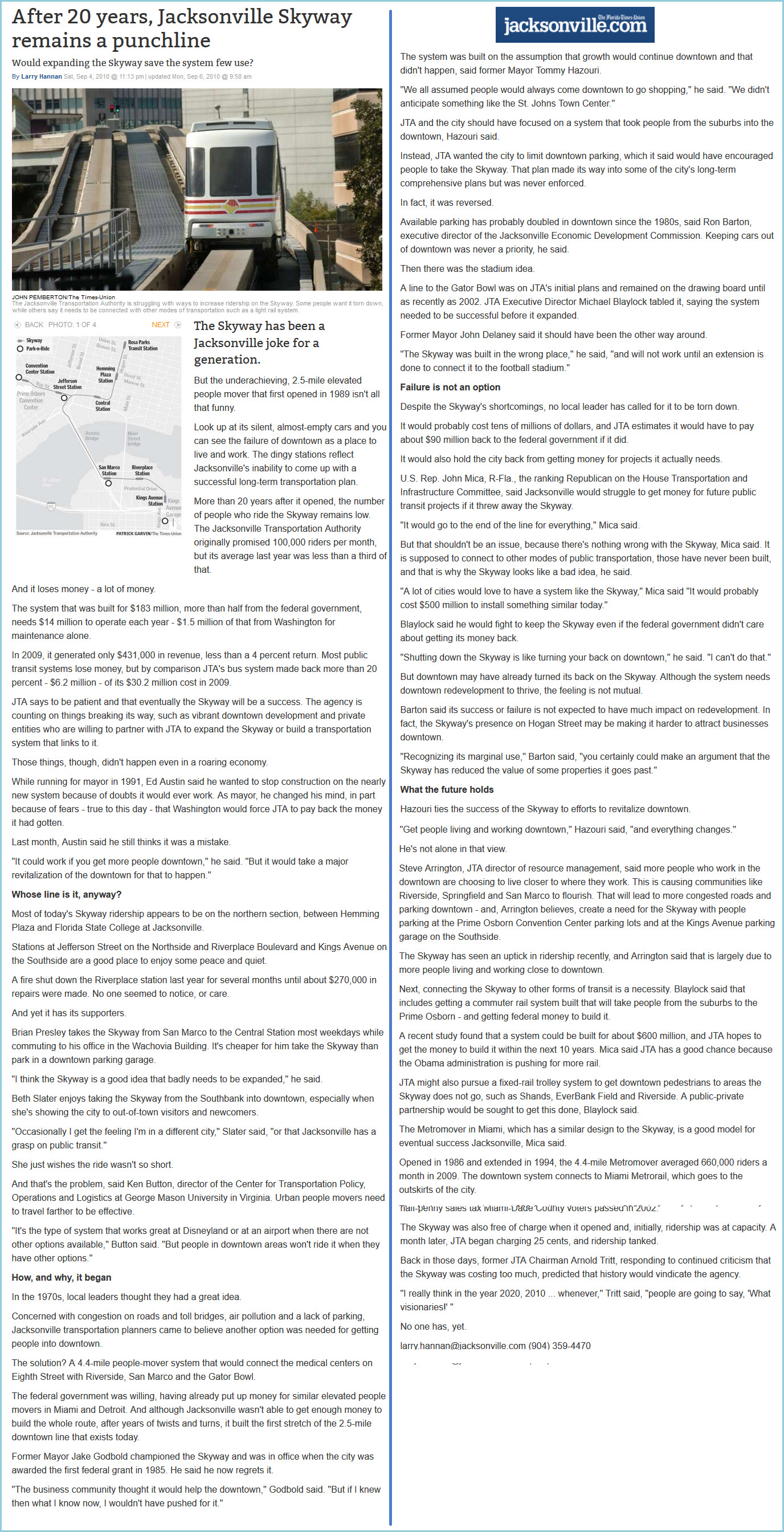
According to an ABC news report in July, 2002, the system was only carrying 3,000 riders per day, far fewer than was projected. Skyway
revenues were reported to be $513, 694 in FY 2001 but expenses were $3.5 million. All eight stops are now in operation. The full system was opened to
the public in November 2000. Skyway spokespersons blamed the poor downtown economy for the low ridership achieved so far, but argued that it would
prove to be a success in the future. As of 2004, fares were 35 cents for individual rides, 10 cents for elderly riders.
I love trains, and I love signals. I am not an
expert. My webpages reflect what I find on the topic of the page.
This is something I have fun with while trying to help others. My
webpages are an attempt at putting everything I can find of the subject in
one convenient place. There are plenty of other good websites to help
me in this effort, and they are listed in the links section on my indexa
page, or as needed on individual pages. Please do not write to me
about something that may be incorrect, and then hound the heck out of me if
I do not respond to you in the manner you would like. I operate on the
"Golden Rule Principle", and if you are not familiar with it, please
acquaint yourself with how to treat people by reading Mathew 7:12 (among
others, the principle exists in almost every religion). If you contact
me (like some do, hi Paul) and try to make it a "non-fun" thing and start
with the name calling, your name will go into my spambox list! :-)
Please Note: Since the main focus of my two websites is railroad signals, the railfan guides
are oriented towards the signal fan being able to locate them. For those
of you into the modeling aspect of our hobby, my indexa page has a list of
almost everything railroad oriented I can think of to provide you with at least a few pictures to help you detail your pike.
If this is a railfan page, every effort has been made to make sure that the information contained on this map and in this
railfan guide is correct. Once in a while, an error may creep in,
especially if restaurants or gas stations open, close, or change names.
Most of my maps are a result of personal observation after visiting these
locations. I have always felt that a picture is worth a thousand words",
and I feel annotated maps such as the ones I work up do the same justice for the
railfan over a simple text description of the area. Since the main focus
of my website is railroad signals, the railfan guides are oriented towards the
signal fan being able to locate them. Since most of us railheads don't have just
trains as a hobby, I have also tried to point out where other interesting sites
of the area are.... things like fire stations, neat bridges, or other
significant historical or geographical feature. While some may feel they
shouldn't be included, these other things tend to make MY trips a lot more
interesting.... stuff like where the C&O Canal has a bridge going over a river (the Monocacy Aqueduct) between Point of Rocks and Gaithersburg MD, it's way cool to
realize this bridge to support a water "road" over a river was built in the
1830's!!!
My philosophy: Pictures and maps are worth a thousand words, especially for railfanning. Text descriptions only
get you so far, especially if you get lost or disoriented. Take
along good maps.... a GPS is OK to get somewhere, but maps are still
better if you get lost! I belong to AAA, which allows you to get
local maps for free when you visit the local branches. ADC puts
out a nice series of county maps for the Washington DC area, but their
state maps do not have the railroads on them. If you can find em,
I like the National Geographic map book of the U.S..... good, clear, and
concise graphics, and they do a really good job of showing you where
tourist type attractions are, although they too lack the railroads.
Other notes about specific areas will show up on that page if known.
Aerial shots were taken from www.bing.com/maps. The screen captures from Bing are made with Snagit, a
Techsmith product... a great tool if you have never used it!
Pictures and additional information is always needed if anyone feels inclined to take 'em, send 'em, and share 'em, or if you have something to add or correct.... credit is always given! Contact info
is here
Beware: If used as a source, ANYTHING from Wikipedia must be treated as being possibly being inaccurate, wrong, or not true.
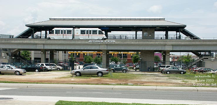
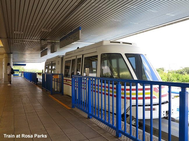
 Picture by Jon Bell