Location / Name:
Los Angeles CA, Los Angeles County +
What's Here:
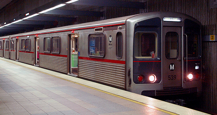
Metro Light and Heavy Rail Systems
Metrolink Regional / Commuter Rail
Data:
GPS Coordinates: as needed
Phone A/C: 213, 310, 424, 661, 818 and 323
ZIP: 90210 (the most famous, I guess, huh?)
Access by train/transit:
The three systems plus Amtrak at Union Station and selected Metrolink Stations
The Green Line goes to LAX Airport
Metrolink / Ventura County Line services the Burbank Airport
The Scoop:
Los Angeles and the area at one time had one of the largest
transit systems around, with the Pacific Electric running their Red Cars, and
the Los Angles Railway and their Yellow Cars. After WWII, the systems were
systematically taken apart until 1963 when nothing was left.
Today, the Los Angeles area has a comprehensive system of Light Rail, Subway,
and Commuter Rail to get passengers around. In addidtion, there are two
bus routes that utilize dedicated busways, expediting your trip by bypassing the
busy streets.
Commuter rail service is provided by Metrolink.
Light Rail, Subway, and bus service is provided by
Metro.
For those of you who want to mix trains and planes and use LAX
Airport, you have two choices. One is to use
the Green Line light rail line. The other is to use
Metrolink to Union Station, and then use your ticket to take a "FlyAway"
bus to get to LAX - it's 13 miles as the crow flies, 19.4 miles by car.
Note: In the U.S., we have settled on using a couple of terms to denote the two
transit services that L.A. has to offer. One is Light
Rail, and the other is Subway,
although not every system uses them with any regularity. The
two services are also often described by the terms Heavy
Rail and Light Rail.
Generally and simply put, the terms apply to the frequency of service, and the
volume of people the systems carry. Most Heavy Rail systems operate
more frequently, and carry more passengers than Light Rail systems do, again, generally
speaking (please don't email me to explain the difference). Another method of identifying the two modes from each other
is their power source, with the majority of heavy rail systems using 3rd rail,
and light rail using overhead catenary - but this is not always a good
delineator. Most American systems will use light rail, with one of the few
exceptions being the San Diego Trolley. Outside of North America,
Tram seems to be popular for light
rail systems. Subway systems are also called Metro systems, and some systems,
like the one in Baltimore, uses the two terms together and calls it the
Metro Subway. New York City and Toronto
use Subway. If you go to
Chicago, you need to refer to the subway system as the
"EL", as you do sometimes in Philadelphia too.
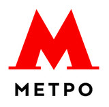
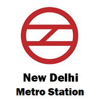
Probably the largest exception to the nomenclature "wars" is
the London Underground, which most
of you know is a subway system. A large portion of the
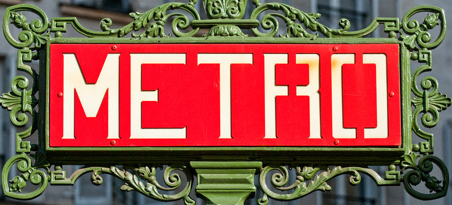
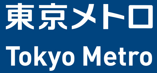
remainder of the world uses Metro as
evidenced by the following signs:
L to R: Berlin, Lisbon, Moscow, New Delhi, Paris, Tokyo (and yes, "P" in
Cyrillic is an "R")
Acknowledgements:
Denver Todd
Google Maps
Wikipedia
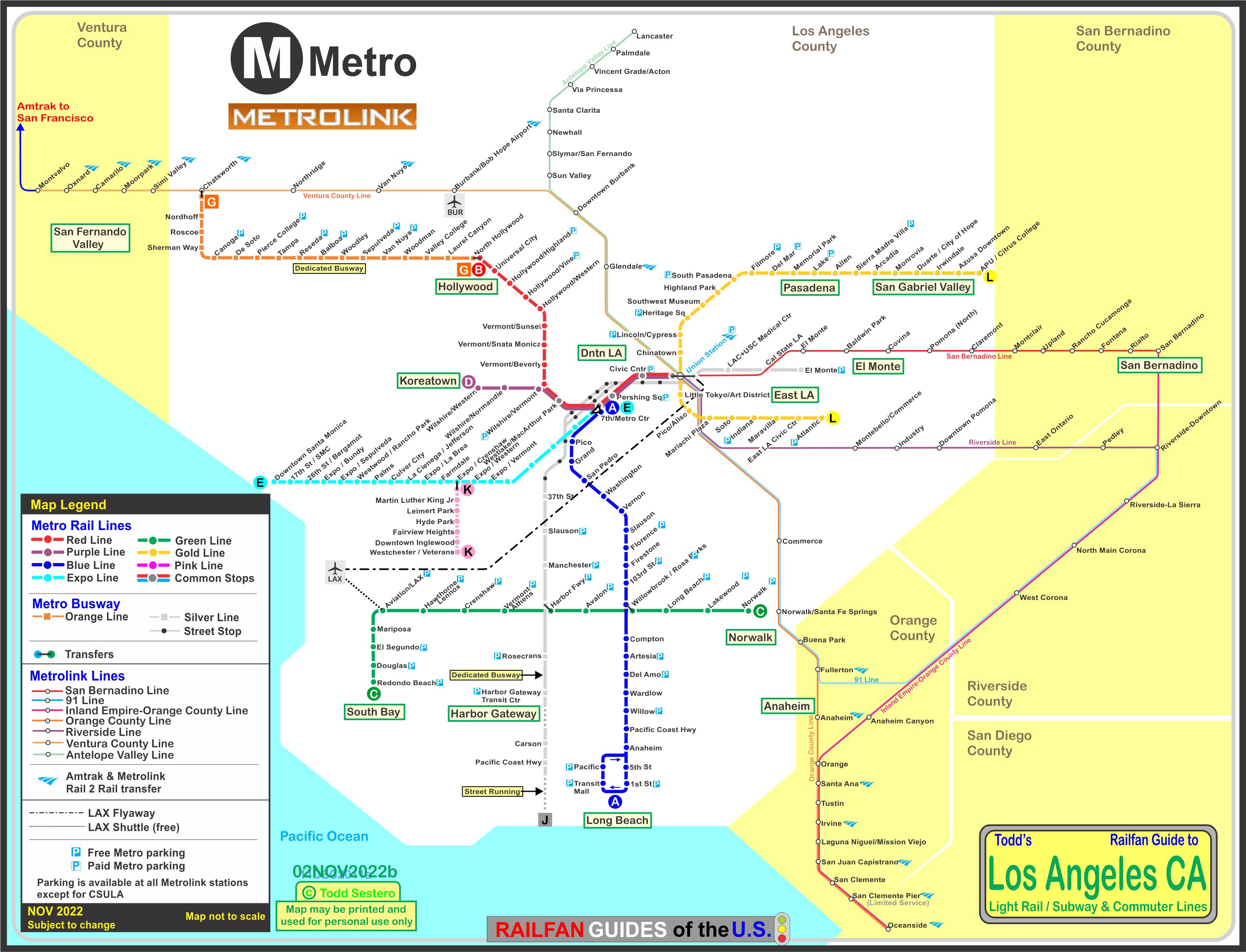
My map is a comprehensive map of the rail transit and dedicated bus routes in and around Los Angeles.
Considering Los Angeles used to have one of the largest transit systems back in the
streetcar days, they have recovered fairly well, don't you think?
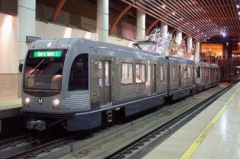
Light Rail and Subway
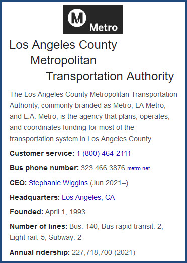
On July 14th, 1990, the Los Angeles County Metropolitan
Transportation Authority (AKA the Metro), opened it's first Light
Rail line, 27 years after the end of streetcar service.
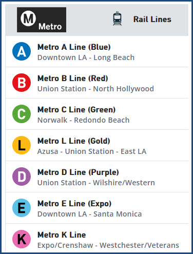
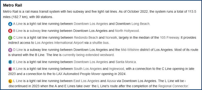
The current (2022) Metro rail system comprises 7 lines with
99 stations, for a total line length of 113.5 miles.
The seven lines are Blue, Green, Gold (Light Rail), Red, and Purple (Heavy Rail).
♦ The (A) Blue Line was the first of the 5 lines.
It runs from downtown LA in the financial district to downtown Long Beach.
The line runs entirely on the surface.
♦ The (G) Green Line runs from Redondo Beach to Norwalk, and is fully elevated.
♦ The (L) Gold Line runs from East Los Angeles east to Pasadena, the line is all at grade.
♦ The (E) Expo Line runs from downtown L.A. to Santa Monica.
♦ The (K) Line runs between South L.A. at Expo/Crenshaw and Westchester/Veterans in Ingleside.
The other two lines are Subway, and are both underground:
♦ The (B) Red Line connects downtown LA with North Hollywood.
♦ The (D) Purple Line runs from downtown to Koreatown / Mid-Wilshire.
Some key dates for the systems:
-- July 14, 1990 - First segment of the blue line opened Pico to Anaheim St
-- Sep 1, 1990 - Blue line Long Beach Loop, Anaheim St to Pacific
-- Feb 15, 1991 - Blue Line to the Financial District, Pico to 7th St/Metro Center
-- Jan 30, 1993 - Red Line MOS-1, the Red & Purple line go from Union Station to Westlake/MacArthur Park
-- Aug 12, 1995 - Green Line, Redondo Beach to Norwalk
-- May 26, 1996 - Red Line MOS-2 West, Red & Purple Line Westlake/MacArthur Park to Wilshire/Western
-- Jun 12, 1999 - Red Line MOS-2 North, Red Line Wilshire/Vermont to Hollywood/Vine
-- Jun 24, 2000 - Red Line MOS-3, Red Line Hollywood & Vine to North Hollywood
-- July 17, 2003 - Gold Line to Pasadena, Union Station to Sierra Madre Villa
-- Nov 15, 2009 - Gold Line Eastside Extension, Union Station to Atlantic
-- Nov 2011 - Expo line from downtown to Santa Monica opens
Each light rail line has it's own yard. The Green and Blue lines can
share cars and other services, for they share an interchange at
the Rosa Park station.
For shops, the Gold Line is on it's own, for it does not interchange with any of the other lines.
The Red and Purple line maintenance facility is kind of "around the
corner" from Union Station, along the river, with the shop buildings themselves
on the north side of East 4th Street. Nice shops, I had a tour of it back
in 1996 or so.
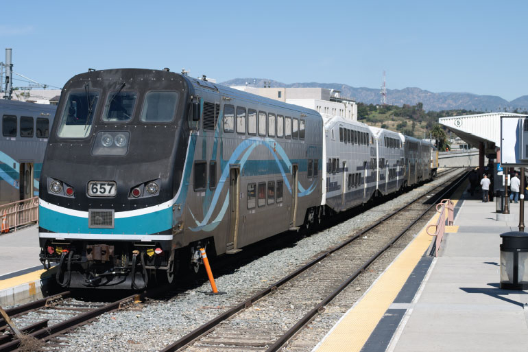
Commuter / Regional Rail
Commuter Rail in Los Angeles area goes by the name Metrolink.
Metrolink is a separate agency from the MTA (Metropolitan Transportation Authority), which operates the
Light and Heavy Rail systems.
The Metrolink name was chosen and construction started in 1991.
The first three lines opened 1992: the Ventura, San Bernardino, and Santa
Clarita lines. Somewhere I have pictures of opening day down at Union Station.
The Riverside line opened in 1993.
The Orange County line opened in 1994.
The Inland Empire /Orange County line opened in 1995.
All of the lines operate Monday thru Friday, however, the Antelope Valley, Orange
County, San Bernardino, and Inland Empire-Orange County lines run on weekends.
As for holidays, you need to check their
schedule page, but
generally, it looks like the San Bernardino and Antelope Valley lines are the
only ones operating on holidays.
In 2002, Metrolink and Amtrak reached an agreement that
allows Metrolink access to Amtrak trains at the stations they share. This
program is called Rail 2 Rail. Metrolink passengers may travel on most
Pacific Surfliner trains and busses within the trip limits of your pass.
However, travel on Coast Starlight trains is not allowed.
If you are riding a bicycle, there is room for two bikes on
each car, and the storage area is adjacent to the rest rooms on the bottom floor
of the cars. Surfboards are not allowed, and small boards are allowed as
long as they do not block anything.
Disclaimers:
I love trains, and I love signals. I am not an expert. My webpages reflect what I find on the topic of the page. This is something I have fun with while
trying to help others.
Please Note: Since the main focus of my two websites is railroad signals, the railfan guides are oriented towards the signal fan being able to locate them.
For those of you into the modeling aspect of our hobby, my
indexa page has a list of almost everything railroad oriented
I can think of to provide you with at least a few pictures to help you detail your pike.
If this is a railfan page, every effort has been made to make sure that the information contained on this map and in this railfan guide is correct. Once in a while,
an error may creep in :-)
My philosophy: Pictures and maps are worth a thousand words, especially for railfanning. Text descriptions only get you so far, especially if you get lost or
disoriented. Take along good maps.... a GPS is OK to get somewhere, but maps are still better if you get lost! I belong to AAA, which allows you to get
local maps for free when you visit the local branches. ADC puts out a nice series of county maps for the Washington DC area, but their state maps do not have the
railroads on them. If you can find em, I like the National Geographic map book of the U.S..... good, clear, and concise graphics, and they do a really good job
of showing you where tourist type attractions are, although they too lack the railroads. Other notes about specific areas will show up on that page if known.
Aerial shots were taken from either Google or Bing Maps as noted. Screen captures are made
with Snagit, a Techsmith product... a great tool if you have never used it!
By the way, floobydust is a term I picked up 30-40 years ago from a National Semiconductor data book, and means miscellaneous
and/or other stuff.
Pictures and additional information is always needed if anyone feels inclined to take 'em, send 'em, and share 'em, or if you have something to add or correct.... credit
is always given! Please be NICE!!! Contact info is here
Beware: If used as a source, ANYTHING from Wikipedia must be treated as being possibly inaccurate, wrong, or not true.