In General
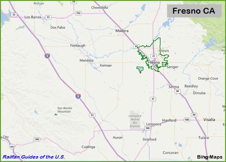
Getting Here
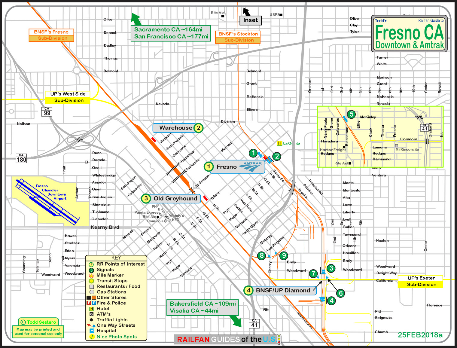
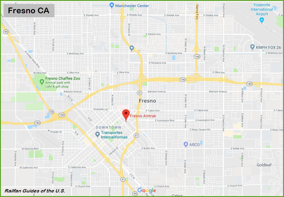
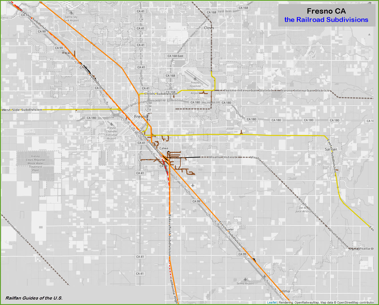
Map
Sights
Signals
Floobydust
USGS Maps
RAILROAD SIGNALS HOME
Location / Name:
Fresno CA, Fresno County
What's Here:
Amtrak Station
UP, BNSF, Amtrak
Data:
GPS Coordinates: As needed
Phone A/C: 559
ZIP: 93721
Access by train/transit:
Amtrak Trains as shown below
The Scoop:
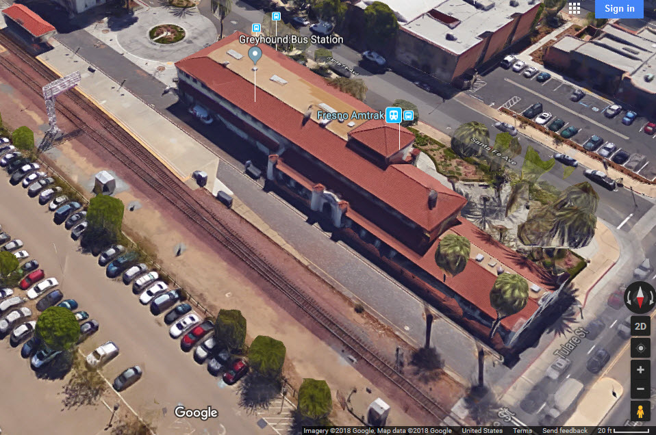
The Fresno Train Station was built in 1899.
The lines coming thru here were formerly Southern Pacific and the Santa Fe.
There are about 60 trains a day passing thru Fresno.
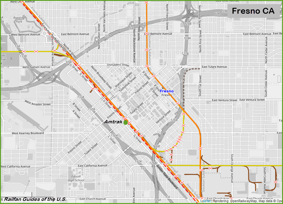
The track in front of the station runs for just a hair over a mile straight thru this part of town before turning almost due south on the south side of the station, paralleling S East Ave, and heading almost due north on the other side of town.
According to Trains Magazine, these are the RR Freqs used around here:
Channel 55 -- 160.935 - BNSF Bakersfield Sub
Channel 68 -- 161.130 - BNSF Stockton Sub
Channel 96 -- 161.550 - UP Fresno Sub
Acknowledgements:
Denver Todd
TV Station ABC 30
hikenhi
The Fresno Bee
Open Railway Map
Google Maps
Bing Maps
Websites and other additional information sources of interest for the area:
http://gregariousrailfan.com/Fresno.html A mini-guide by Denver Todd
https://www.openrailwaymap.org/
https://noehill.com/fresno/nat1976000482.asp
https://hikenhi.smugmug.com/keyword/amtrak/
https://en.wikipedia.org/wiki/Santa_Fe_Passenger_Depot_(Fresno,_California)
http://www.fresnobee.com/news/local/high-speed-rail/article131853829.html
http://www.fresnobee.com/news/local/high-speed-rail/article129636769.html
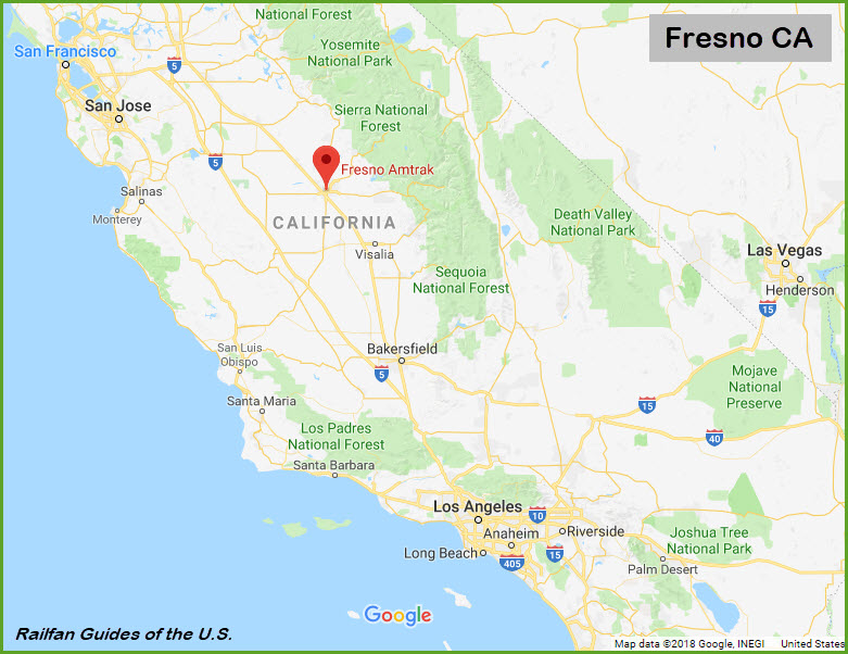
Fresno is at the crossroads of Highway 99 and Highway 41. Fresno is about 48 miles from I-5 as the crow flies.
From Sacramento, take 99 all the way down, it's about 165 mile trip.
From San Francisco, its ~190 miles.... take I-80 and the San Francisco-Oakland Bay Bridge to I-580 and head west about 53 miles to I-205. Once on 205, it's about 13 miles over to I-5, and another 2-1/2 miles north to exit 461 and Highway 120. You'll go about 5-1/2 miles to Highway 99, where you'll want to head south into Fresno.
Bakersfield is about 108 miles south on Highway 99.
Coming up from L.A.? It's I-5 and 99 and ~215 miles. Somewhere around Wheeler Ridge, take exit 221 to jump on Highway 99 north into Fresno.
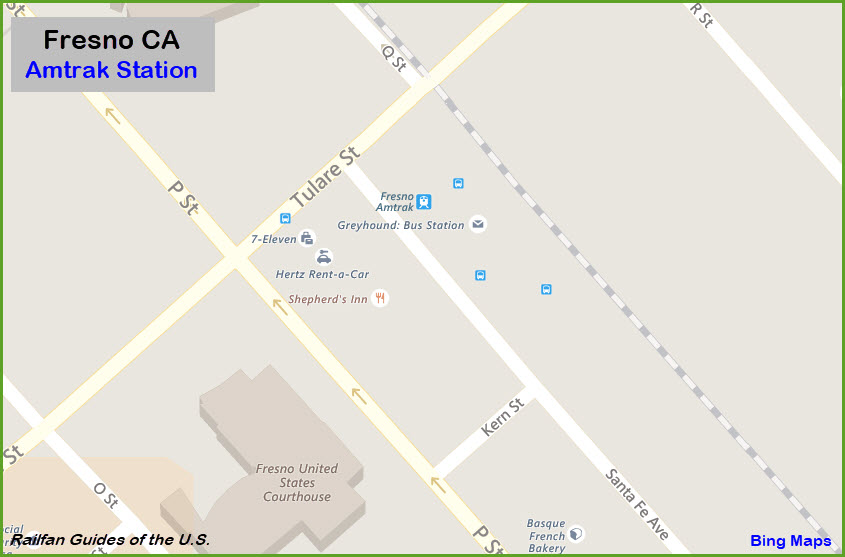
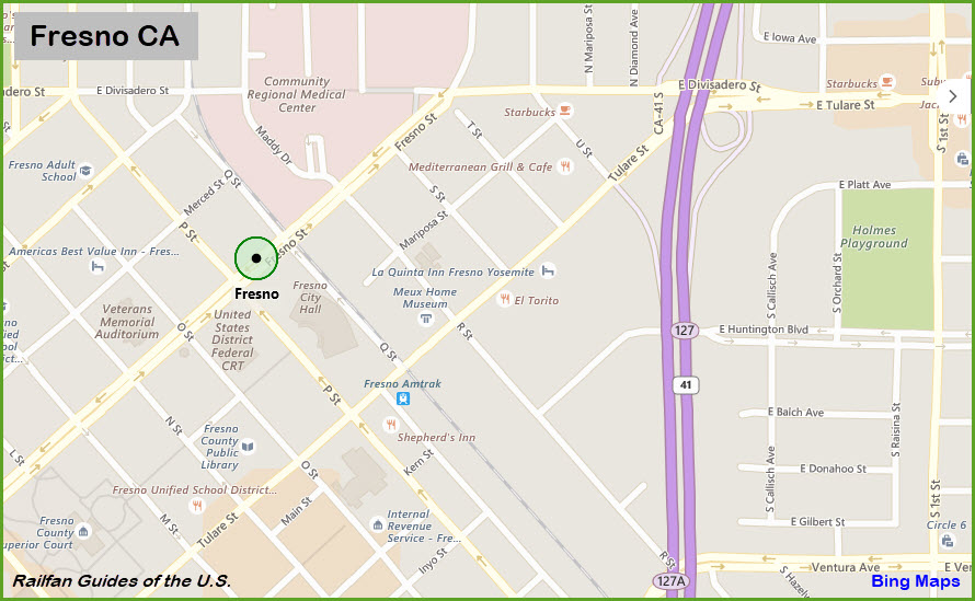
GPS Coordinates: 36.738495, -119.782767
Station Code: FNO
2650 Tulare Street, Fresno CA, 93721-1325
The Fresno Depot of the Santa Fe RR was designed and constructed in 1899 under the direction of W. B. Storey, Jr., Engineer. He later became president of the Santa Fe Railway System.
The Santa Fe Passenger Depot, also known as Fresno station, is a staffed train station in Fresno, California served by Amtrak California's San Joaquin line, which operates seven round trips daily between Oakland or Sacramento and Bakersfield.
From Wikipedia: Of the 78 California stations served by Amtrak, Fresno was the 12th-busiest in FY2013, boarding or detraining an average of approximately 1,094 passengers daily. The station was built in 1899 for the San Francisco and San Joaquin Valley Railroad (SF&SJV) and was designed by William Storey for the Atchison, Topeka and Santa Fe Railway (ATSF or Santa Fe). It is very similar to the Stockton – San Joaquin Street Station. The station was once the Santa Fe's Valley Division Headquarters, and was expanded or renovated nine times between 1908 and 1985. Santa Fe closed the station for passenger service in 1966 and completely shuttered the building in the early 1990s. When passenger service to Fresno was reinstated on 5Mar74 Amtrak used a space in the nearby freight house. By the time the city of Fresno purchased the station in 2003, it had fallen into disrepair. The station reopened on 12Feb2005 after a $6 million renovation project largely restored it to original 1899 appearance.
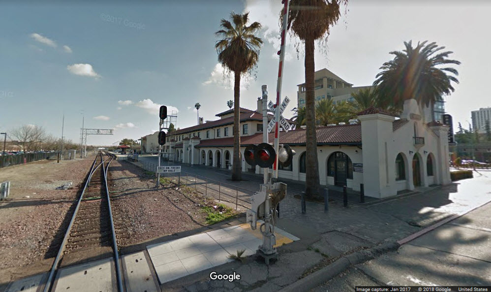
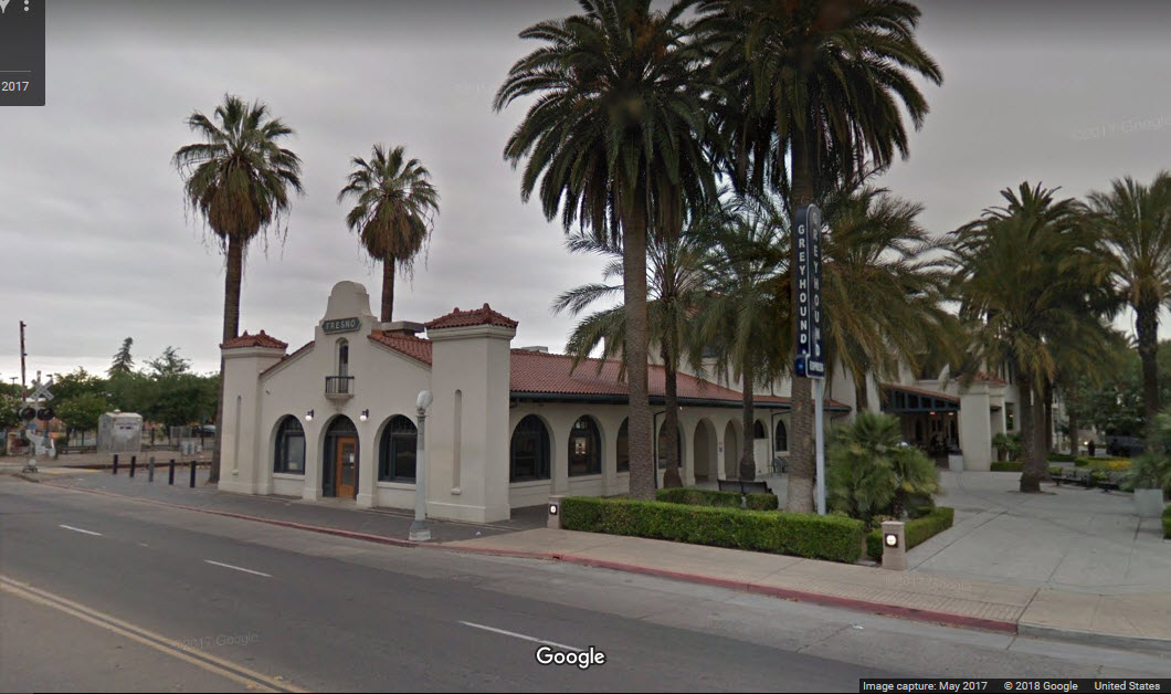
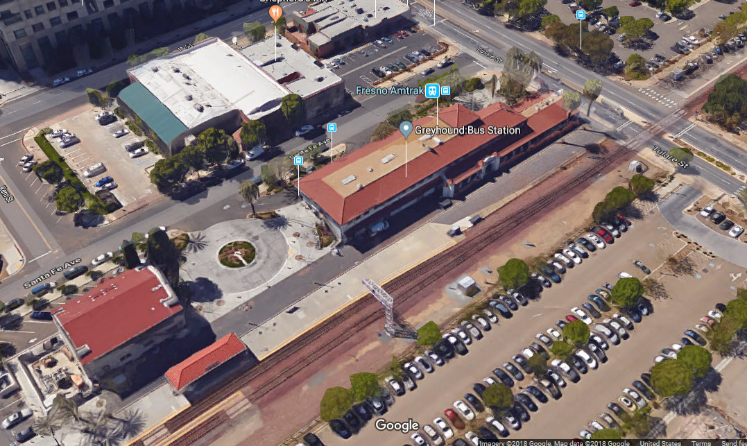
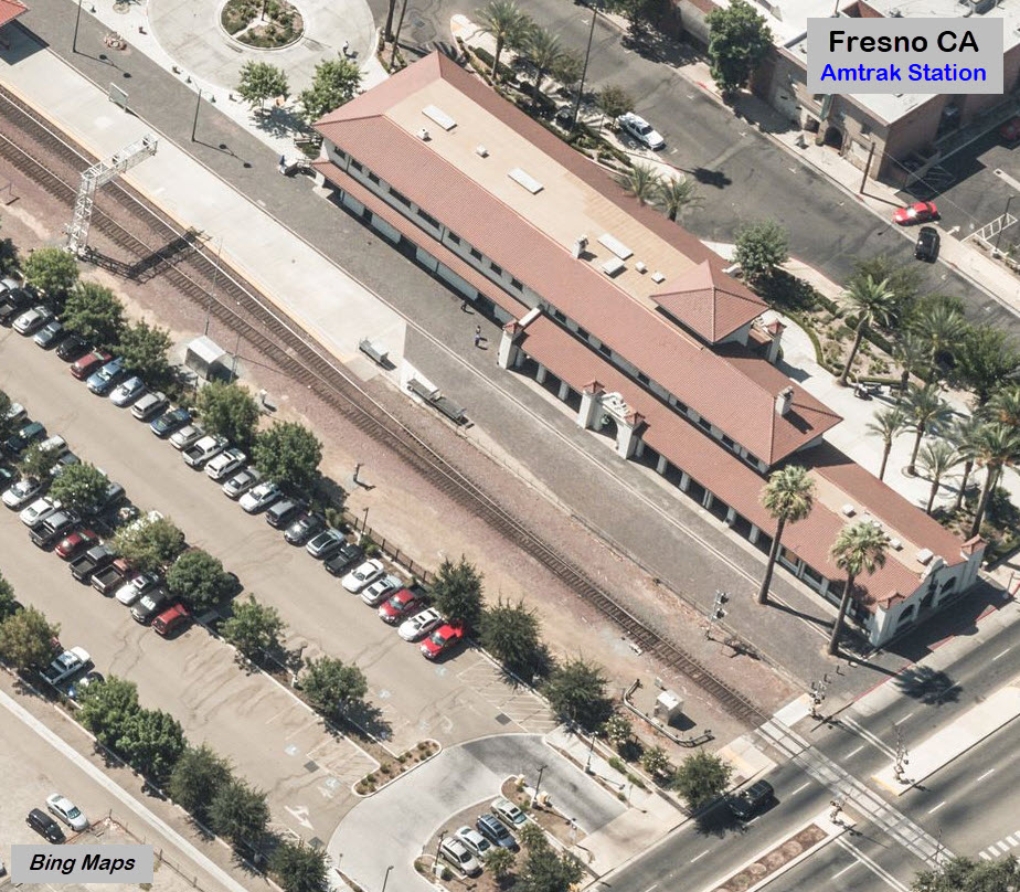
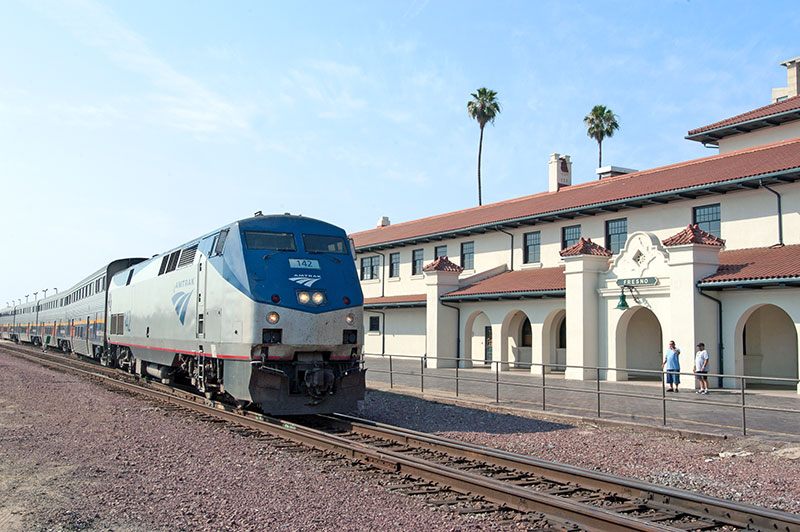
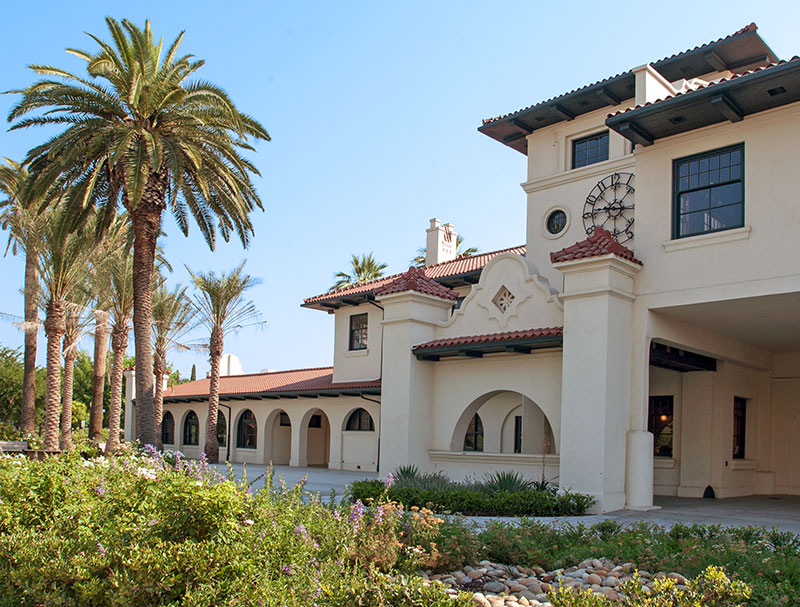
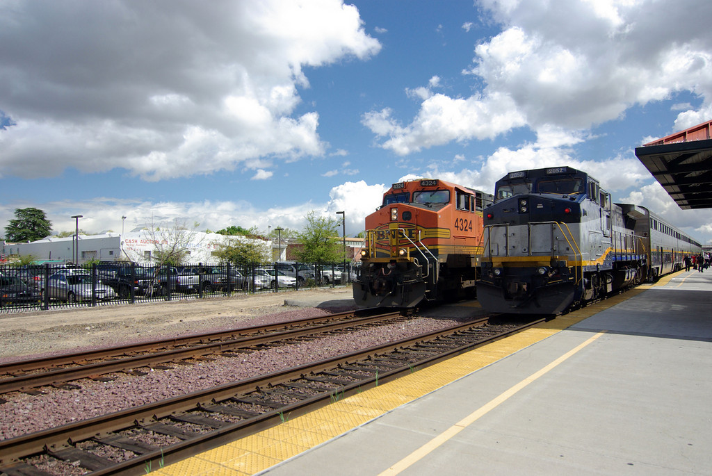 photo by hikenhi
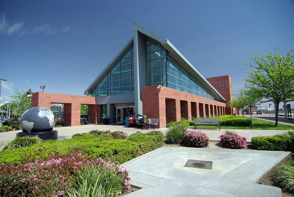 photo by hikenhi
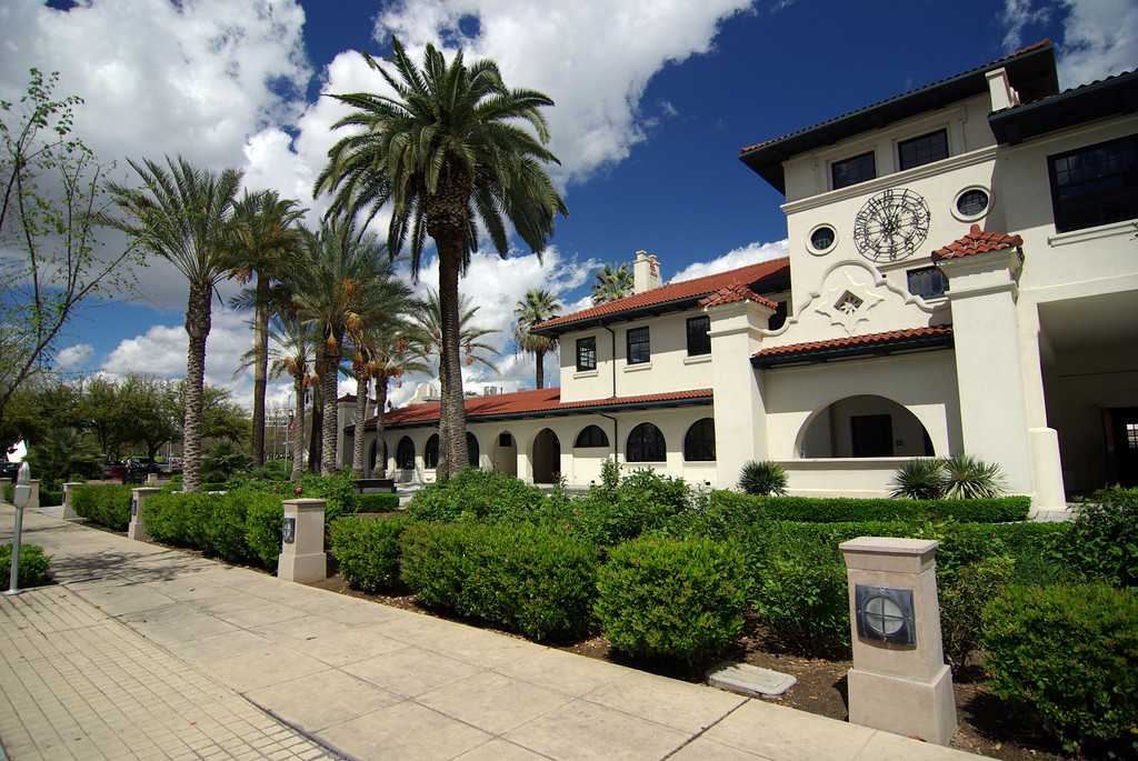 photo by hikenhi
Below: From Wikipedia and
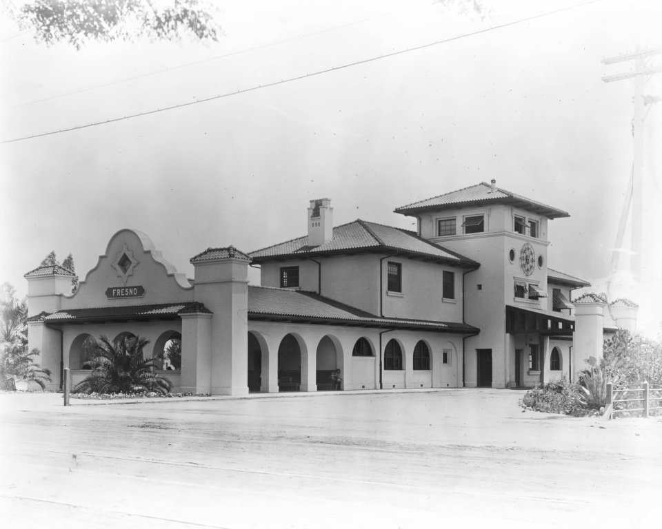 In 1910
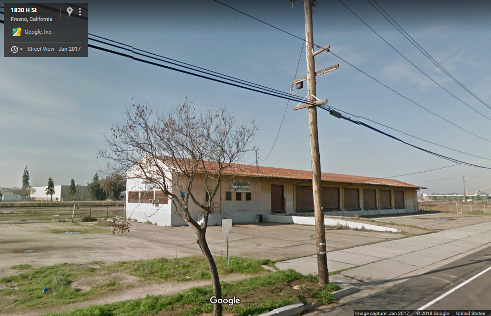
I don't have any info on the building, but it certainly looks like it has railroad heritage.
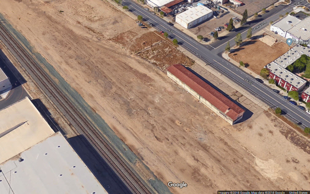
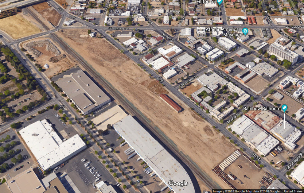
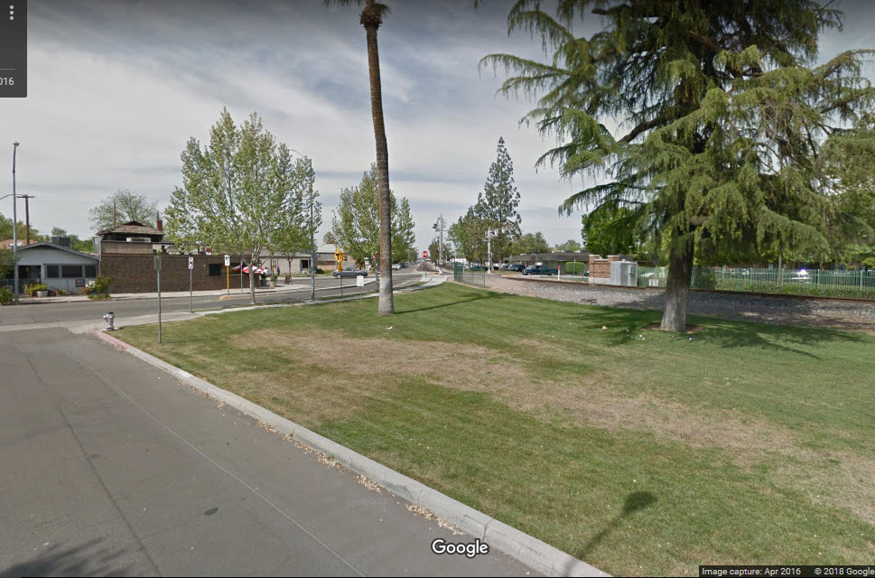
There appears to have been a yard here at one time, guessing from the "long" overpasses at Stanislaus and Tuolumne and the aerial view.
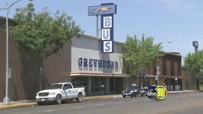
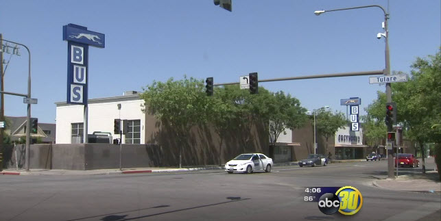
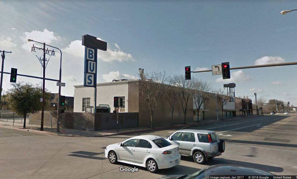
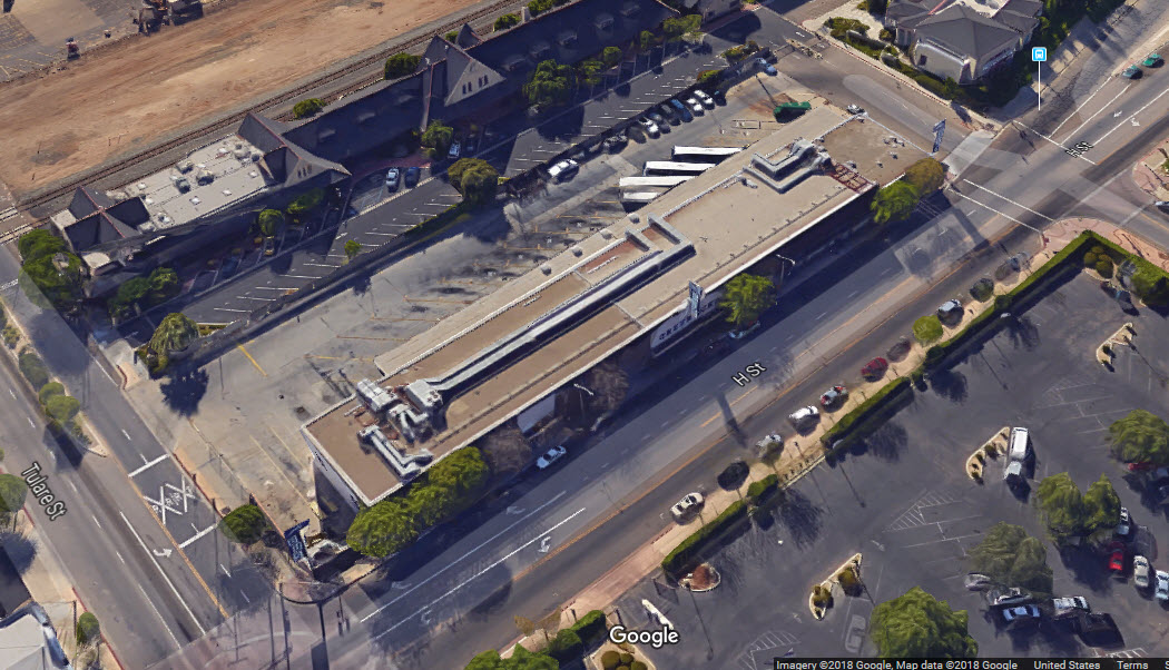
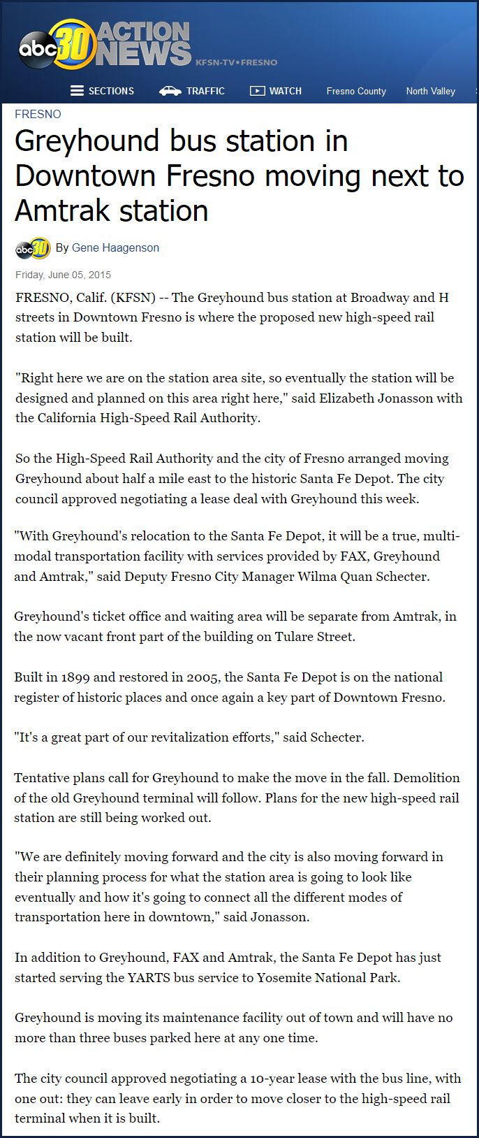
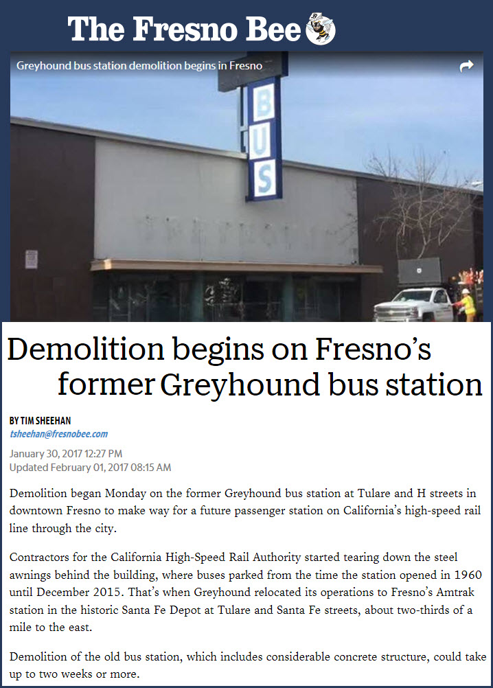
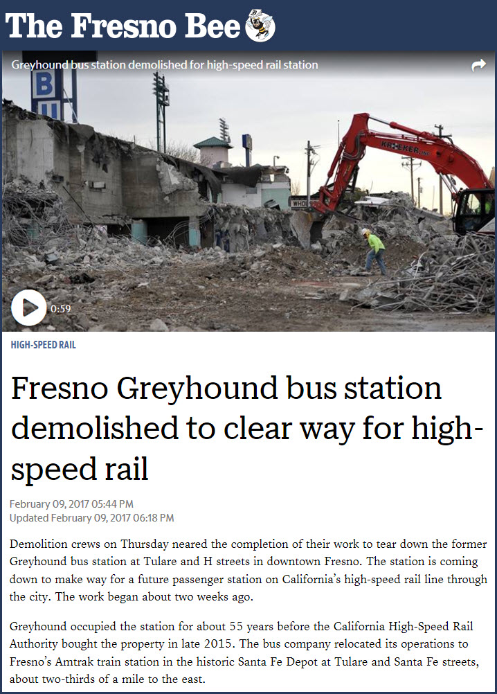
The old Greyhound Station is at Tulare and H Street. The building is in the path of the proposed high-speed rail line, so Greyhound decided to move into the Amtrak station, sometime in 2015? The building came down in February of 2017.
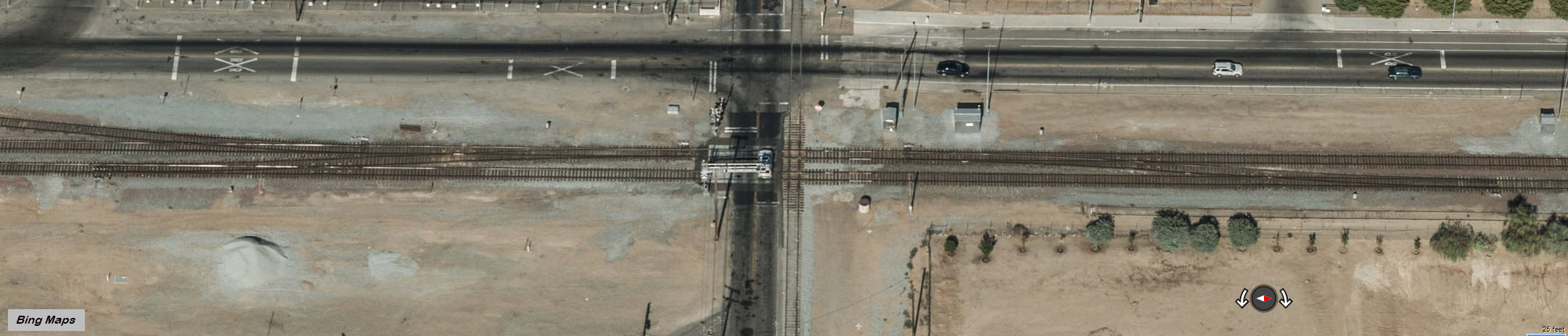
The diamond is in the middle of a set of BNSF crossovers. BNSF runs N/S here, and the double track begins at the Amtrak station. The diamond is fully signaled. The BNSF signals are locations 3 and 4, the UP signals are at 6 and 7.
 Track circuit activated
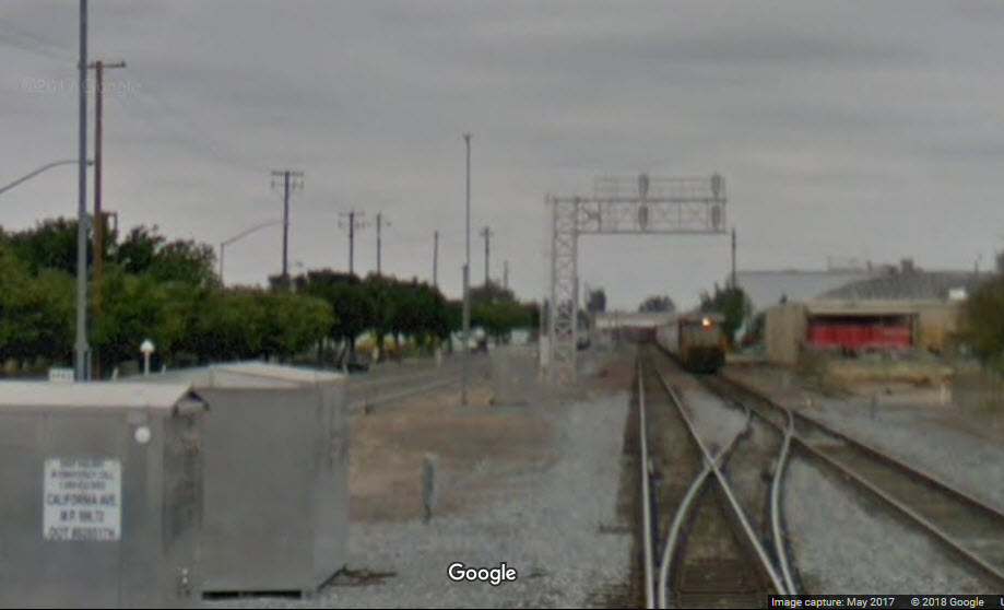 Train-a-comin....
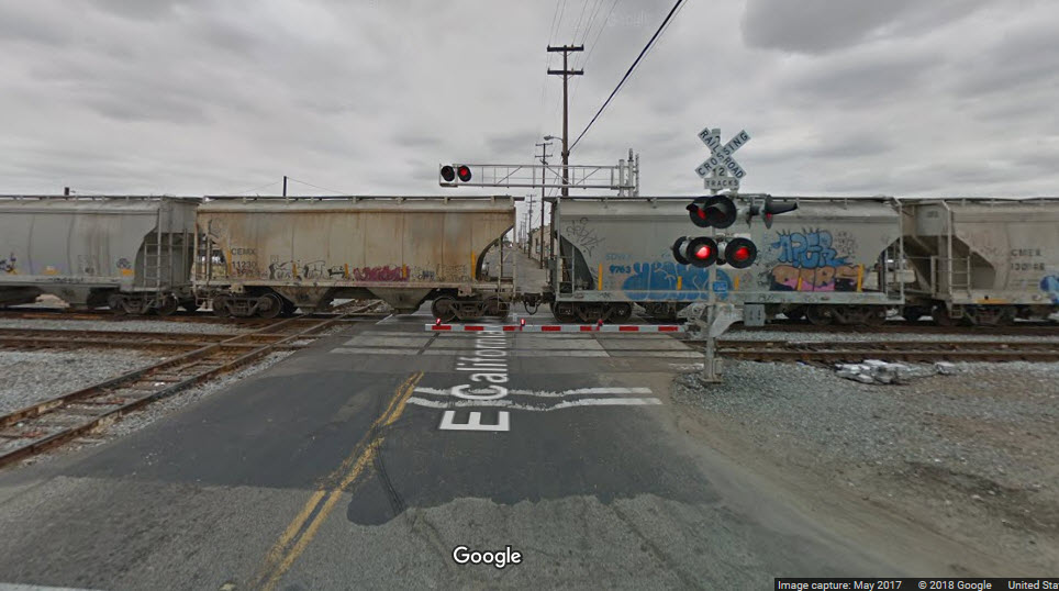
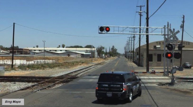 Crossing gates for the BNSF tracks
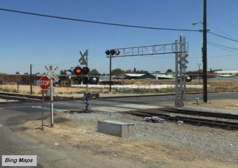
GPS Coordinates: 36.738495, -119.782767
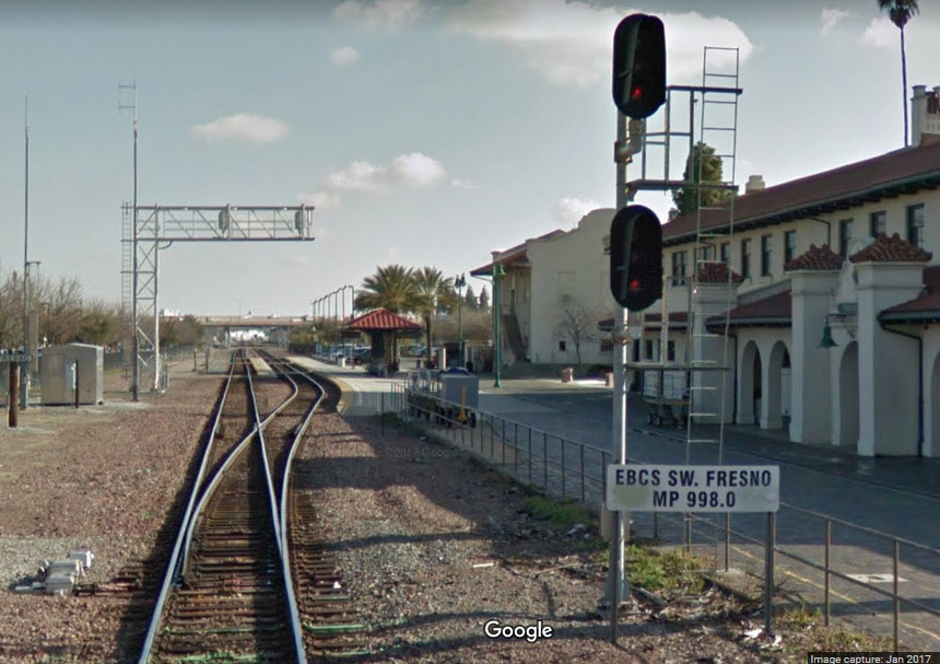
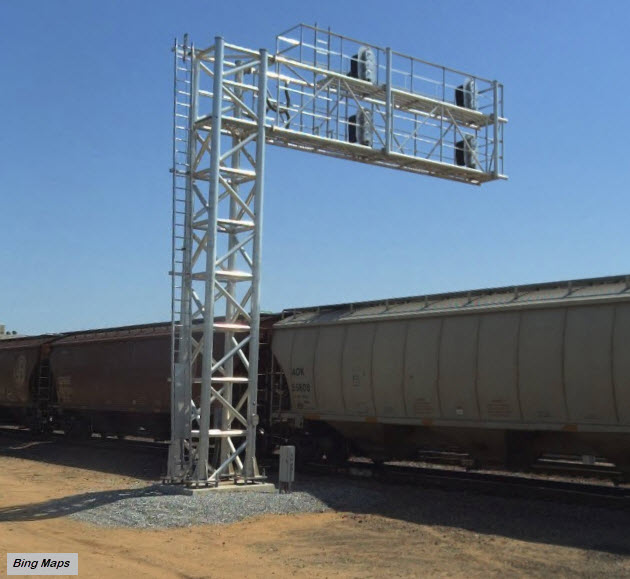
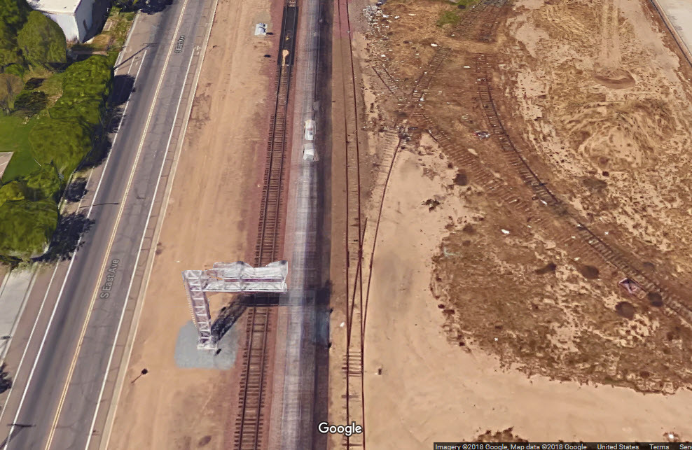
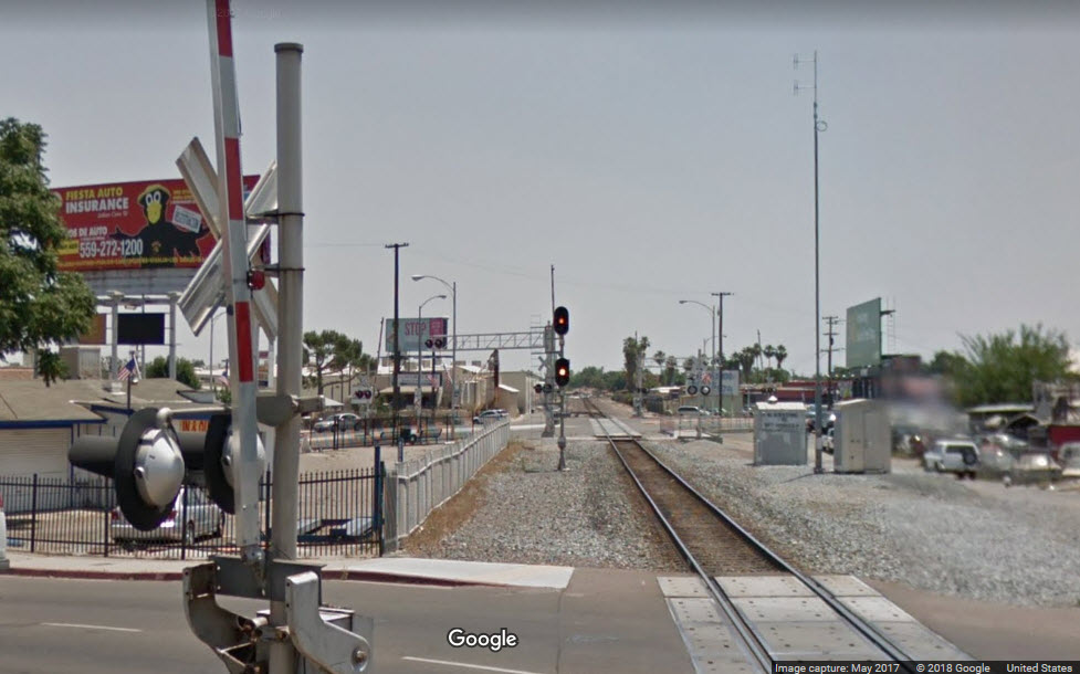
There are two sets of signals here. The single set is for SB traffic, and two sets of NB signals sit atop a cantilever bridge for the two tracks coming up from the south.
GPS Coordinates: 36.722700, -119.772537
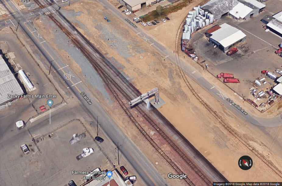
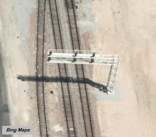
Signals on a cantilever bridge for where the tracks go from 2 to 3 tracks.
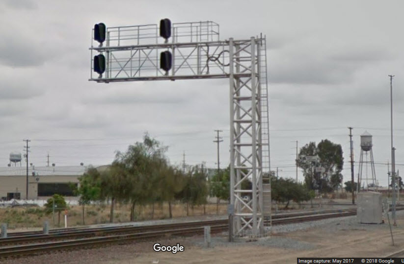
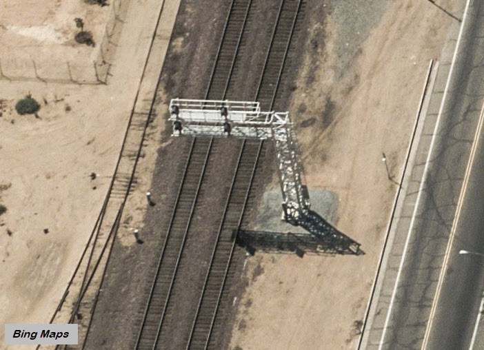
GPS Coordinates: 36.720257, -119.772423
For trains going in the opposite direction of location 2, they see this bridge controlling movements. Signal location 2 is in the background.
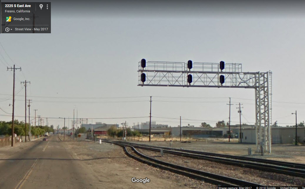
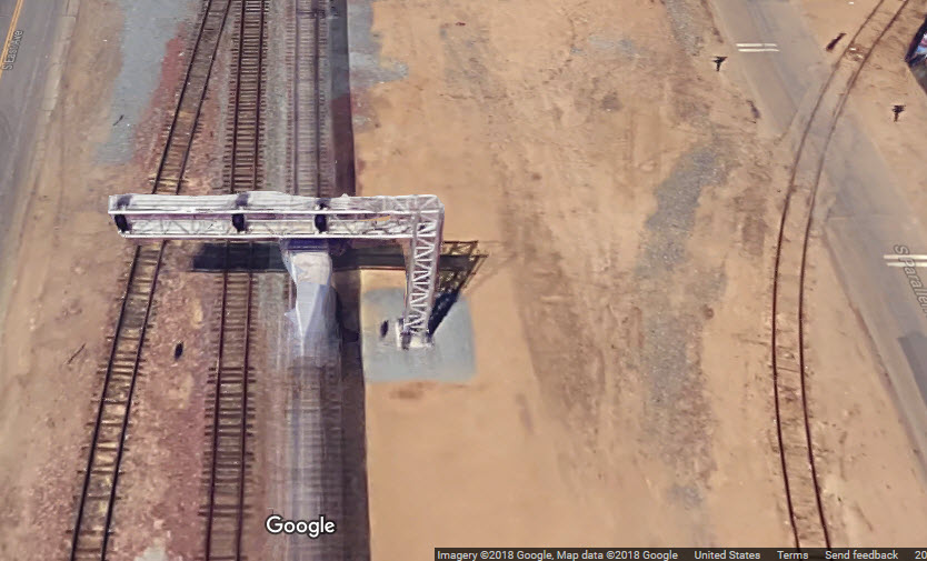
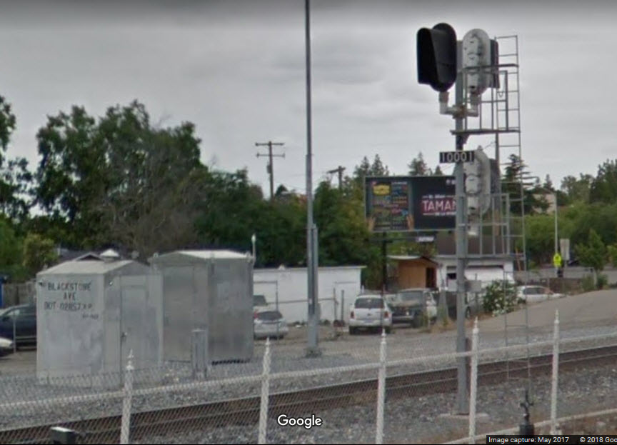
GPS Coordinates: 36.764618, -119.790979
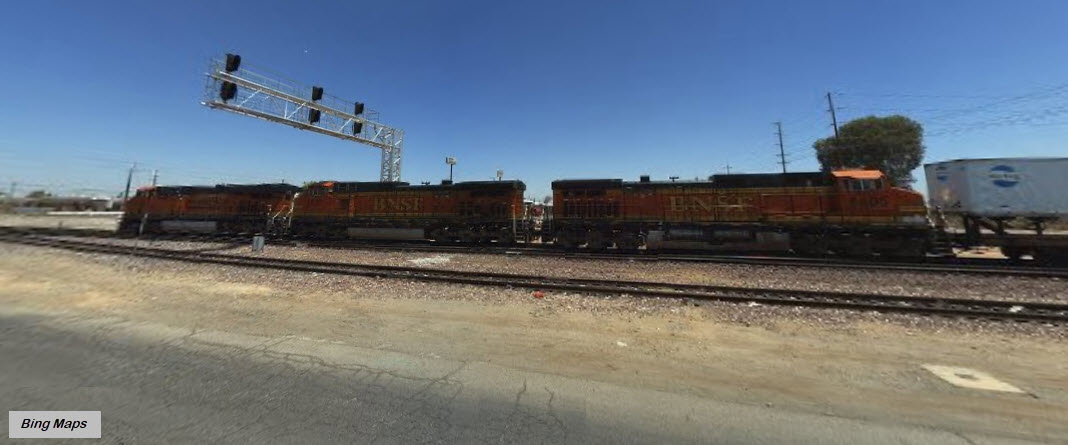
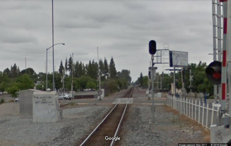
Signals for both directions are on the same mast. A single head signal for trains heading north on the single track. A two head signal for SB trains, where a train may have to make a diverging move off the mainline.
 Distance from the signals at the Amtrak Station
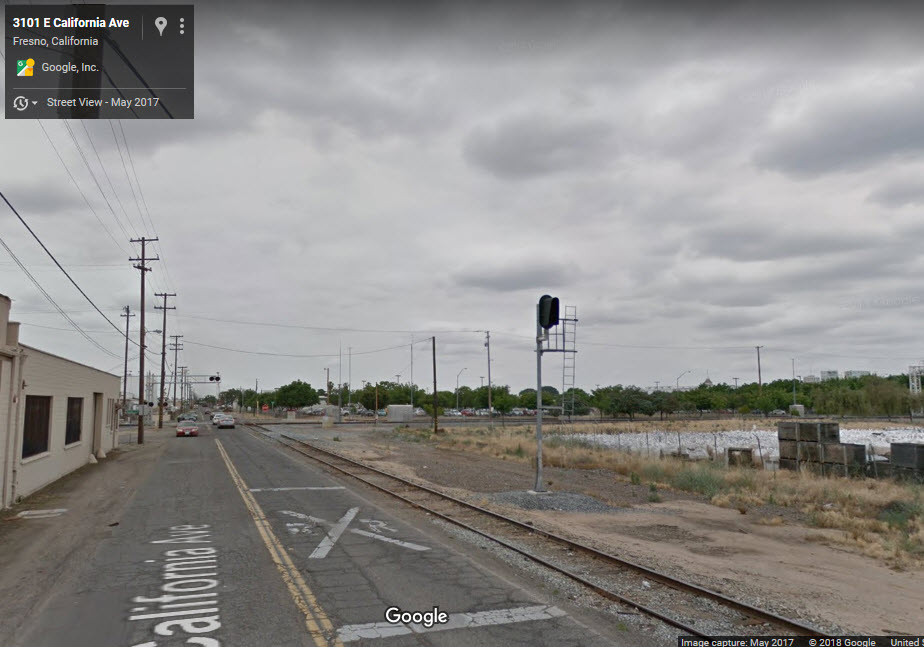
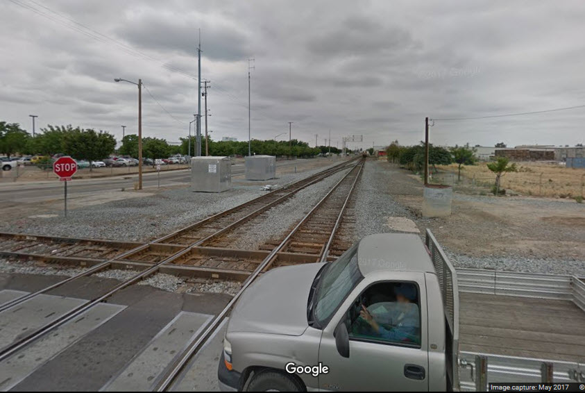
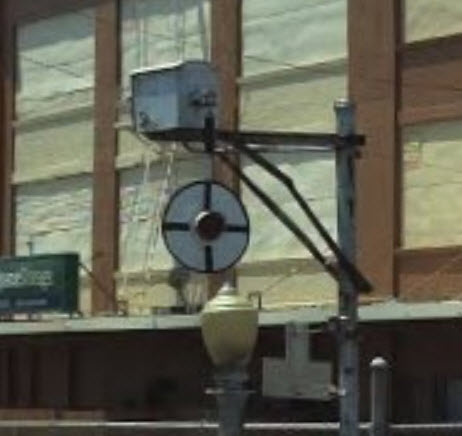
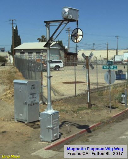
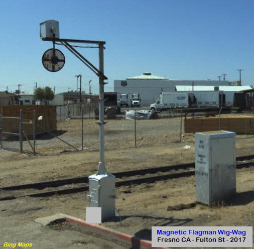
Well, it's 2017 (when the picture was taken) and a wig-wag still survives the coming of the 21st Century.
In fact, it looks like the city has forgotten about this crossing altogether, judging from the streetlamp! :-)
Looks like a local is waiting to get back out onto the Fresno Subdivision mainline.
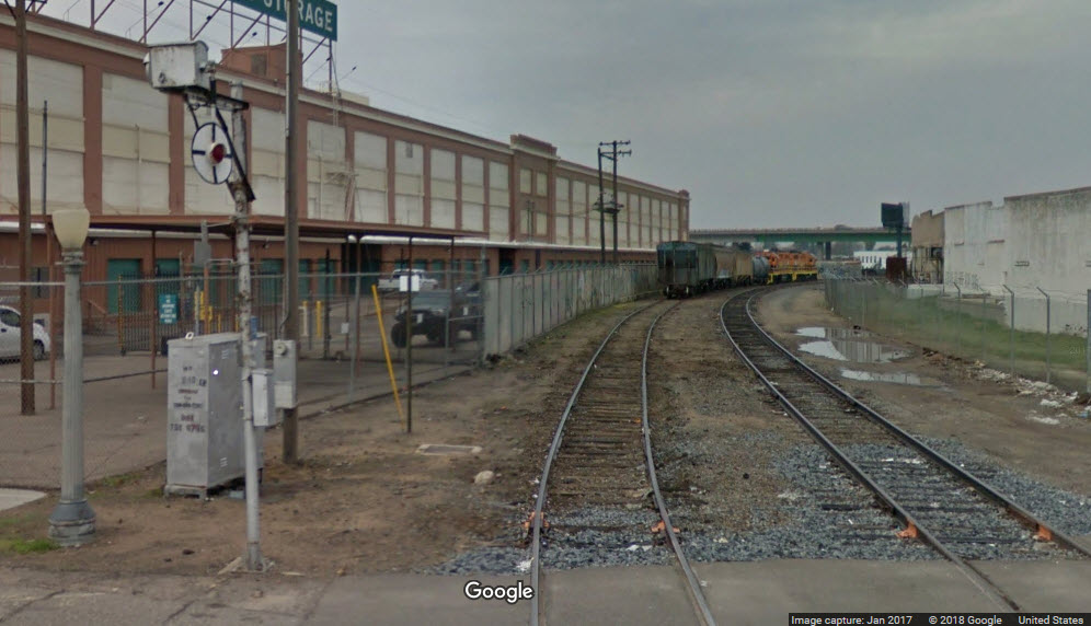
The second grade crossing with a wig-wag, as we continue working our way from the Fresno Sub-Division.....
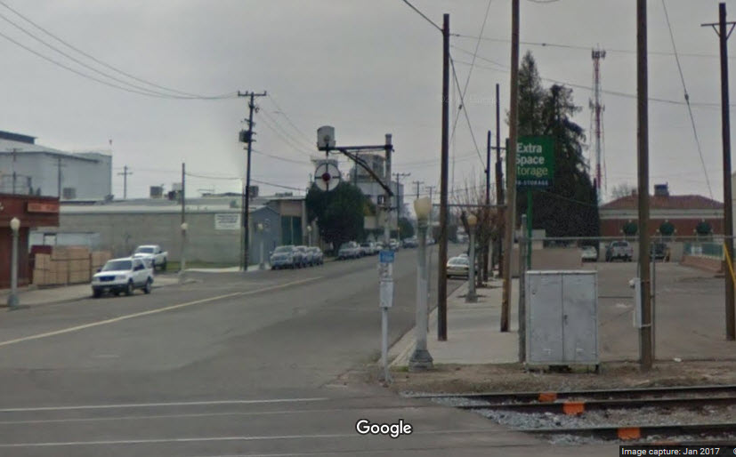
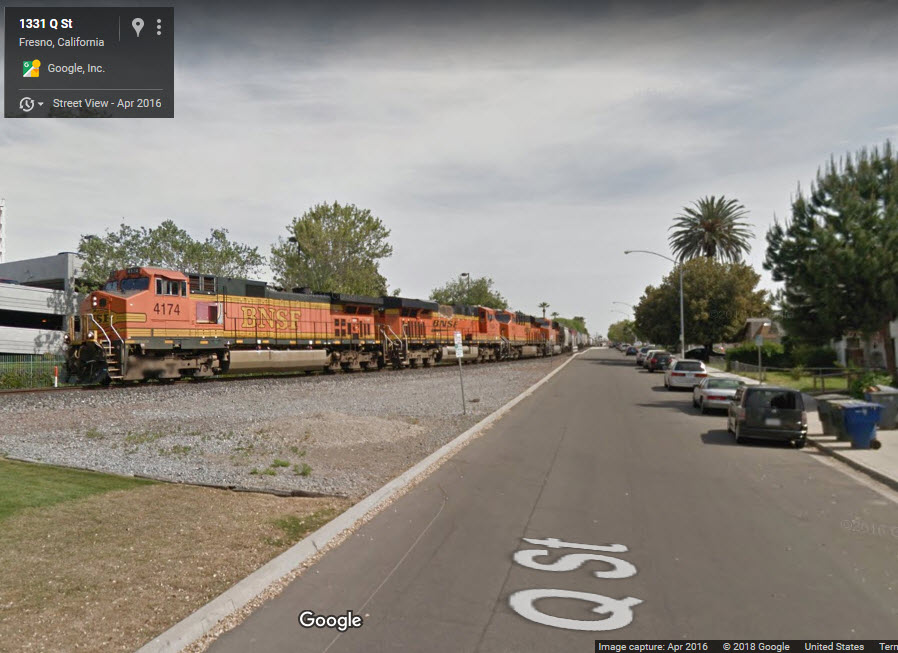
Google Catches Freight at Q St and Tuolumne St
GPS Coordinates: 36.742540, -119.786701
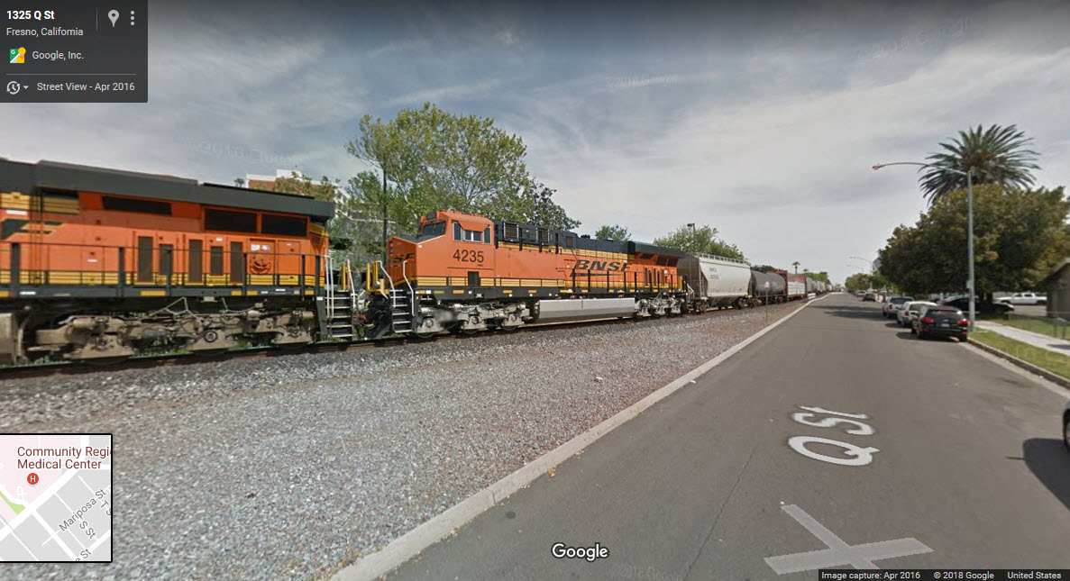
 Looking up Tuolumne
Interchange at Ventura St
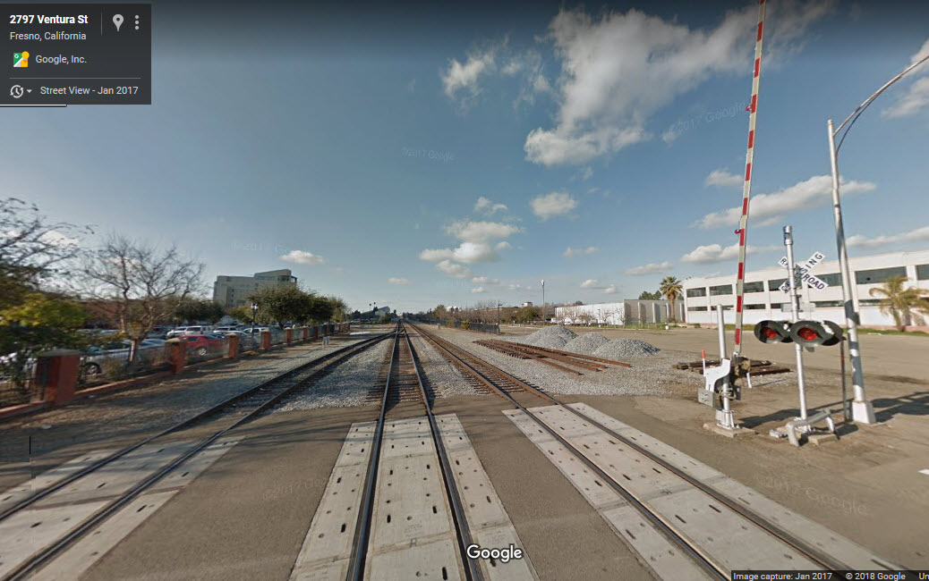
GPS Coordinates: 36.735015, -119.778647
No signals, but this is where the interchange track comes off the Stockton Subdivision tracks and head over to the Fresno Subdivision.
 Looking north
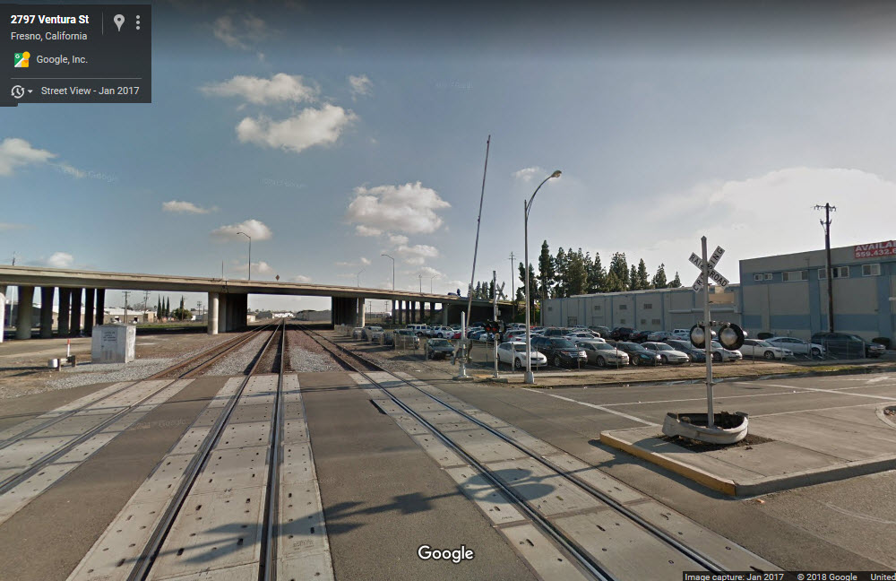 Looking south
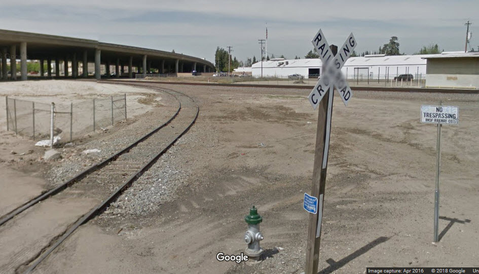 From Santa Fe Ave
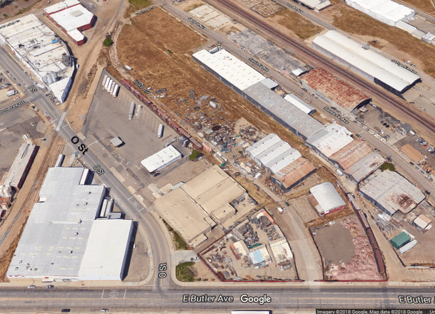
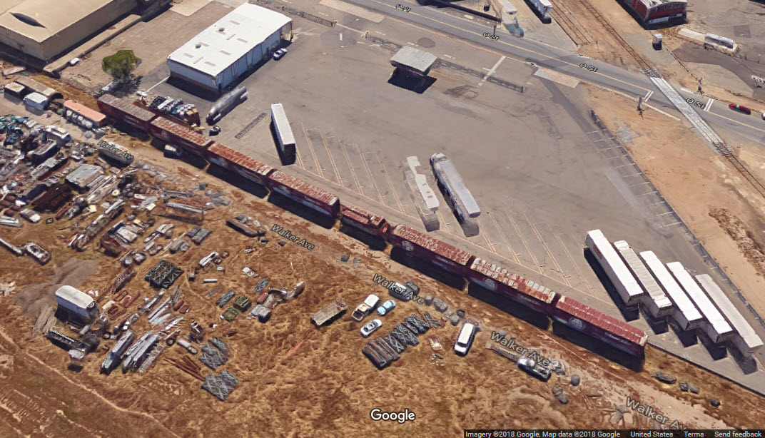
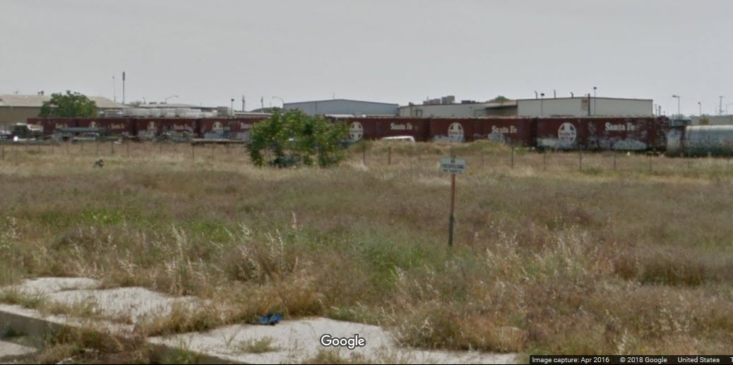
Butler / O St Industrial Sidings
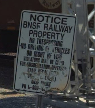
A few abandoned tracks still exist here.....
And two strings of Santa Fe boxcars still remained trapped on the siding as can be seen from Santa Fe Ave and Butler Ave.
The property is still owned and signed no trespassing by the BNSF.
 From Santa Fe Ave
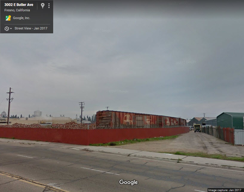 From Butler Ave
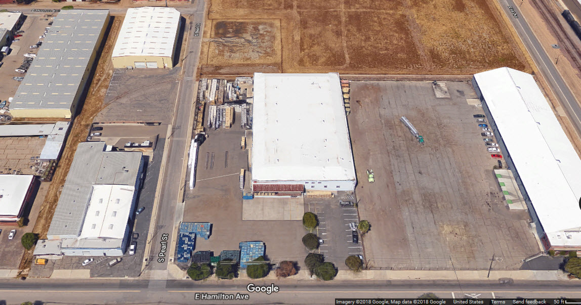
Industrial Sidings off of Pearl St and Hamilton Ave
A few abandoned tracks still exist here too.....
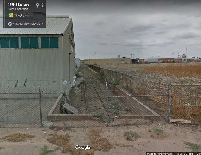 Siding viewed from East Ave
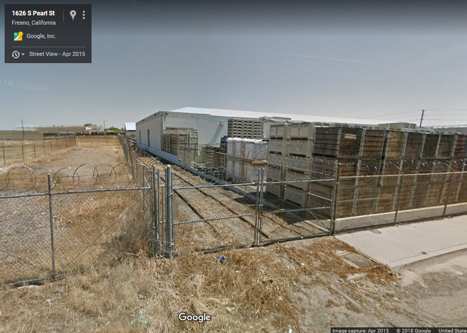 Siding viewed from Pearl St
 Hard to tell at Hamilton if the tracks crossed here
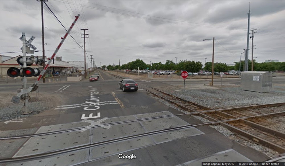
UP/BNSF Diamond
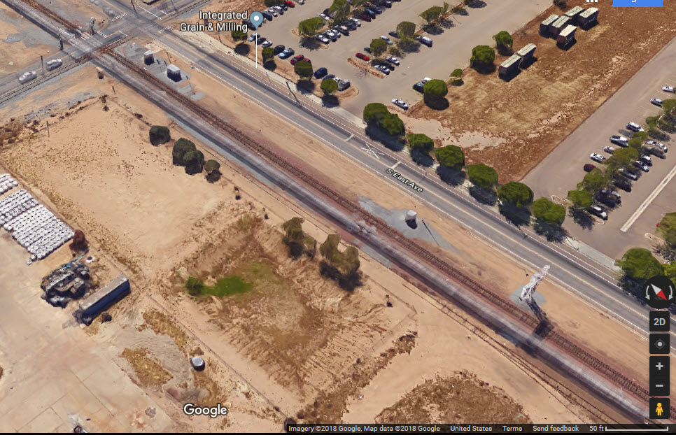
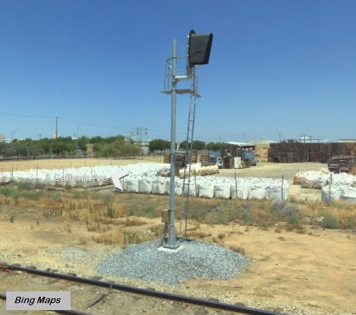
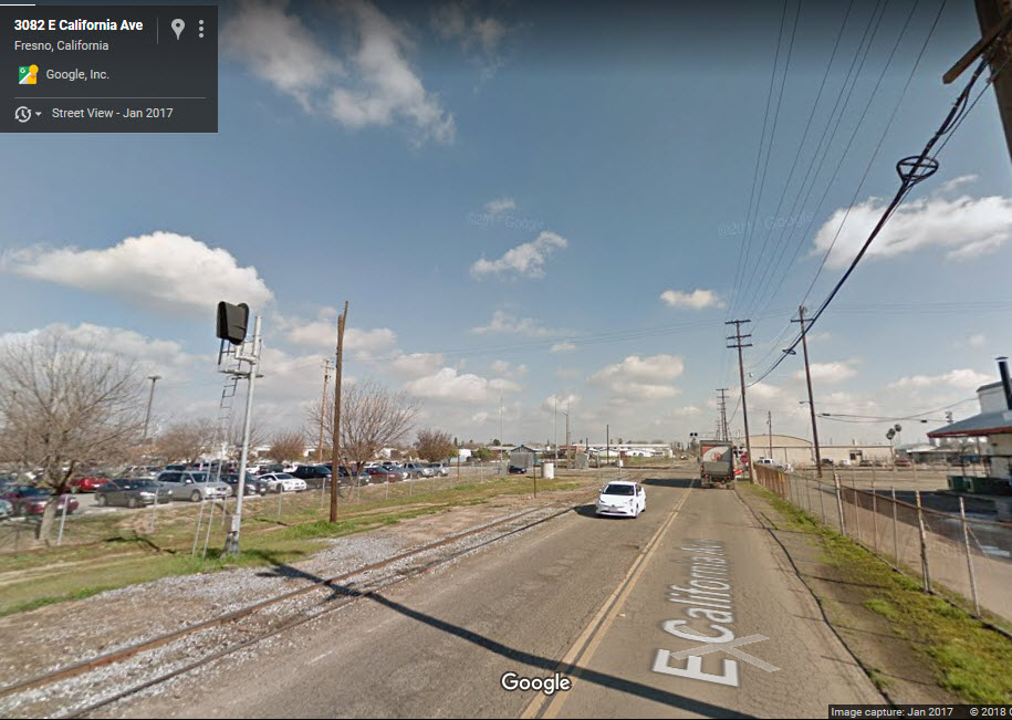
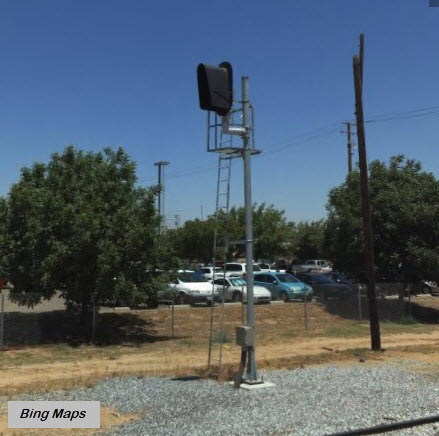
At S East Ave and E California Ave.
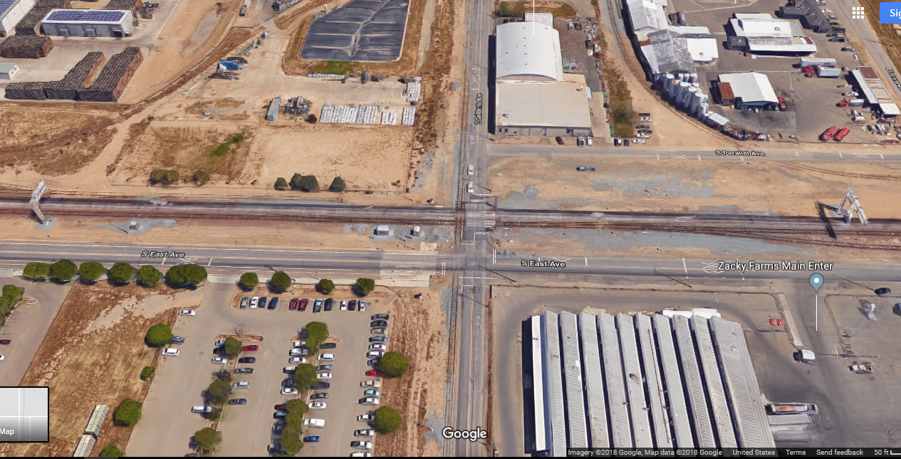
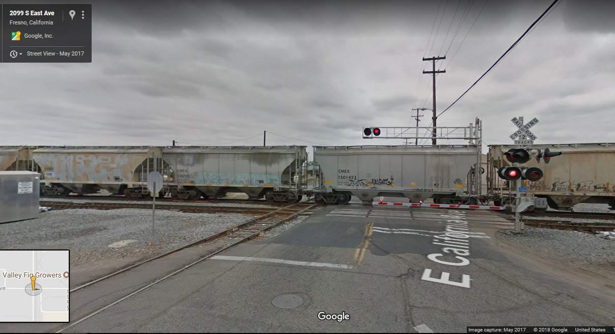
 WB UP signal for the diamond
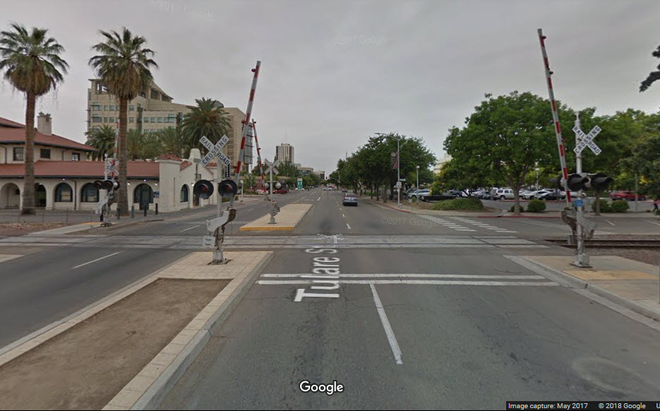
Welcome to Downtown Fresno
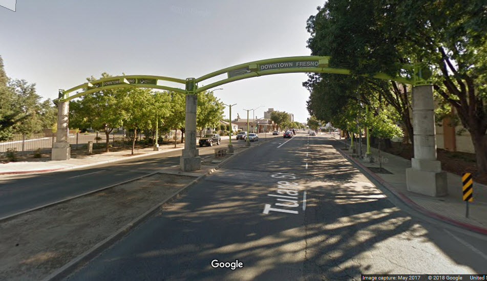
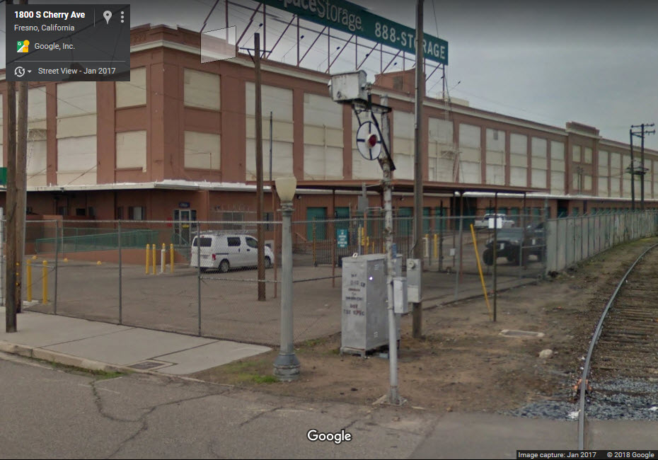
Tulare St Grade Crossing
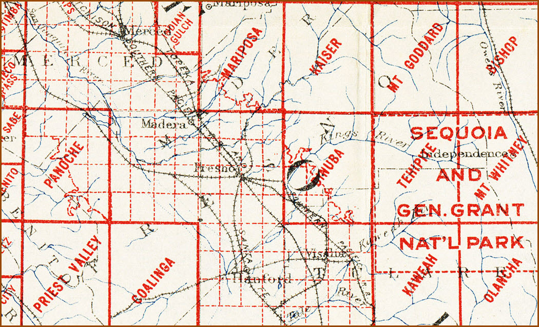
Courtesy of the University of Texas Library, click here for their index page.
The University of Texas does not have an "old" historic USGS map of Fresno, as this shot of the 1926 index for California shows, for they had not done one yet.....
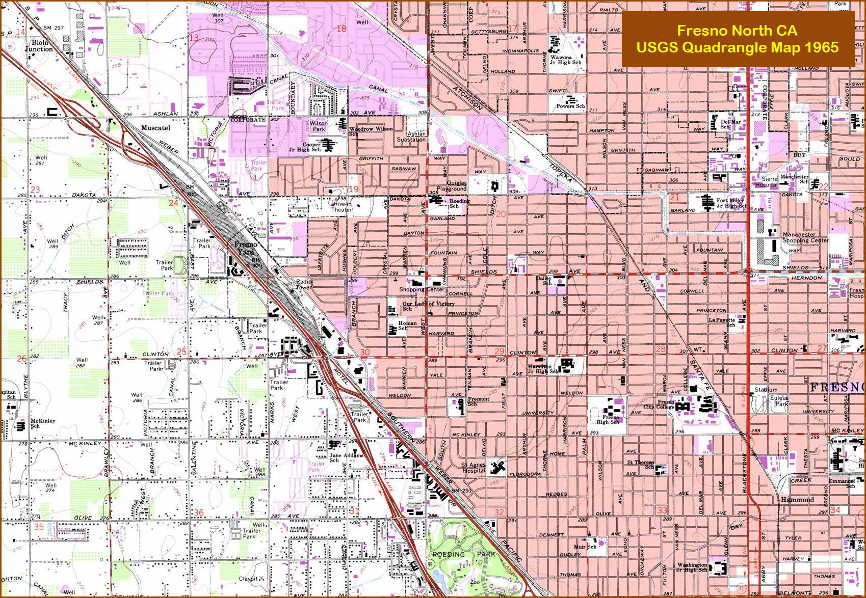
The Fresno North Quadrangle is below.
Disclaimers:
I love trains, and I love signals. I am not an expert. My webpages reflect what I find on the topic of the page. This is something I have fun with while trying to help others.
Please Note: Since the main focus of my two websites is railroad signals, the railfan guides are oriented towards the signal fan being able to locate them. For those of you into the modeling aspect of our hobby, my indexa page has a list of almost everything railroad oriented I can think of to provide you with at least a few pictures to help you detail your pike.
If this is a railfan page, every effort has been made to make sure that the information contained on this map and in this railfan guide is correct. Once in a while, an error may creep in :-)
My philosophy: Pictures and maps are worth a thousand words, especially for railfanning. Text descriptions only get you so far, especially if you get lost or disoriented. Take along good maps.... a GPS is OK to get somewhere, but maps are still better if you get lost! I belong to AAA, which allows you to get local maps for free when you visit the local branches. ADC puts out a nice series of county maps for the Washington DC area, but their state maps do not have the railroads on them. If you can find em, I like the National Geographic map book of the U.S..... good, clear, and concise graphics, and they do a really good job of showing you where tourist type attractions are, although they too lack the railroads. Other notes about specific areas will show up on that page if known.
Aerial shots were taken from either Google Maps or www.bing.com/maps as noted. Screen captures are made with Snagit, a Techsmith product... a great tool if you have never used it!
By the way, floobydust is a term I picked up 30-40 years ago from a National Semiconductor data book, and means miscellaneous and/or other stuff.
Pictures and additional information is always needed if anyone feels inclined to take 'em, send 'em, and share 'em, or if you have something to add or correct.... credit is always given! Please be NICE!!! Contact info is here
Beware: If used as a source, ANYTHING from Wikipedia must be treated as being possibly being inaccurate, wrong, or not true.
RAILFAN GUIDES HOME
RAILROAD SIGNALS HOME
NEW 02/24/2018
Last Modified
02-Mar-2018