What's Here:
Cal Train Regional Commuter Service
BART
MUNI
Cable Cars, Streetcars, Light Rail, Heavy Rail, Amtrak interstate trains
Data:
GPS Coordinates: as needed
Phone A/C:
ZIP: Many, as the service area is large
Access by train/transit:
Amtrak
BART
MUNI
The Scoop:
Thanks to Mark C. who rides every day for letting me know that as of May
25th, 2012, Amtrak's contract with CalTrain had expired and has
not been renewed. Service is being taken over by TransitAmerica
under contract with CalTrain, in an attempt to control costs. Note:
There are a lot of pictures on this page, please be patient while they load!
Before I start on CalTrain, let's quickly go over the other rail oriented services
in San Francisco. In addition to CalTrain, you also have BART, MUNI,
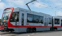
MUNI (the Municipal Transport Agency) has 71.5 miles (115.1 km) of standard-gauge track, seven light rail
lines (six regular lines and one peak-hour shuttle), three tunnels, nine
subway stations, twenty-four surface stations and eighty-seven surface stops. MUNI also offers bus service.
BART is a heavy rail system, known in other cities as a subway or the EL. BART
is the fifth-busiest heavy rail rapid transit system in the United States. BART
is operated by the San Francisco Bay Area Rapid Transit District which formed in
1957. BART is mainly an intercity train that connects many surrounding cities
in the SF Bay Area (but has a few stops in SF), while the MUNI is an intra-city public
transportation that connects the entire city itself with bus and rails. Another way to look at it:
While BART travels to the areas further from the city, the MUNI Metro tours the heart of the city.
The Cable Cars. Cable cars and street cars are San Francisco's historic public transit. Cable cars are located downtown and run on three lines: Powell-Hyde, Powell-Mason,
and California Street. The F-Line streetcar runs up and down Market Street all the way to Fisherman's Wharf.
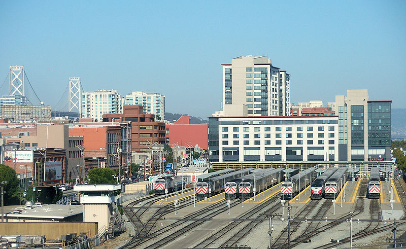
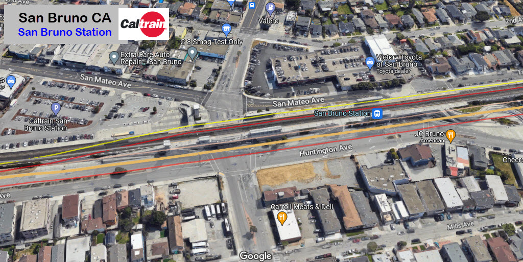
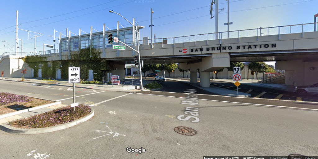
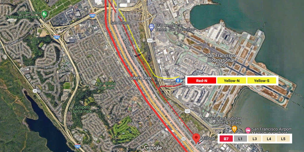
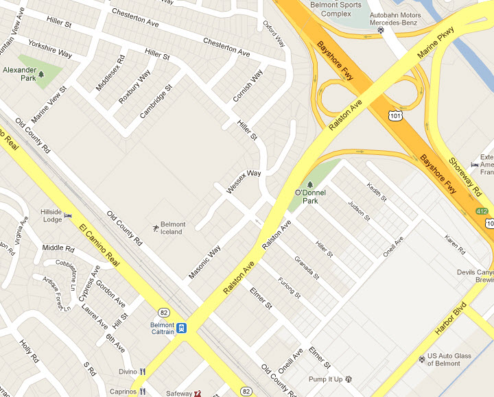
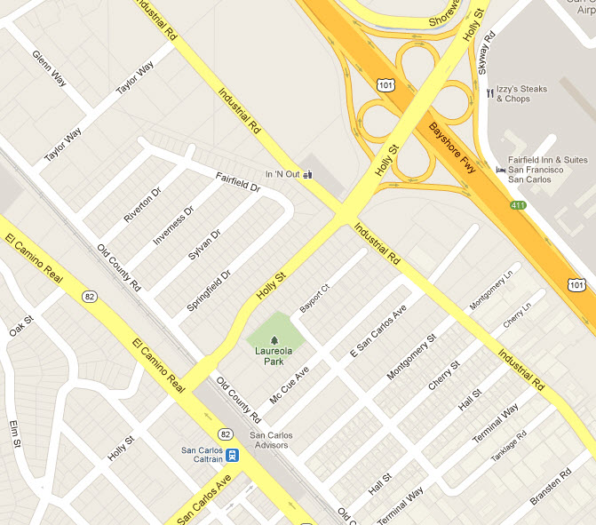
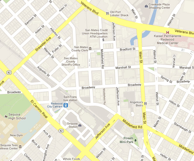
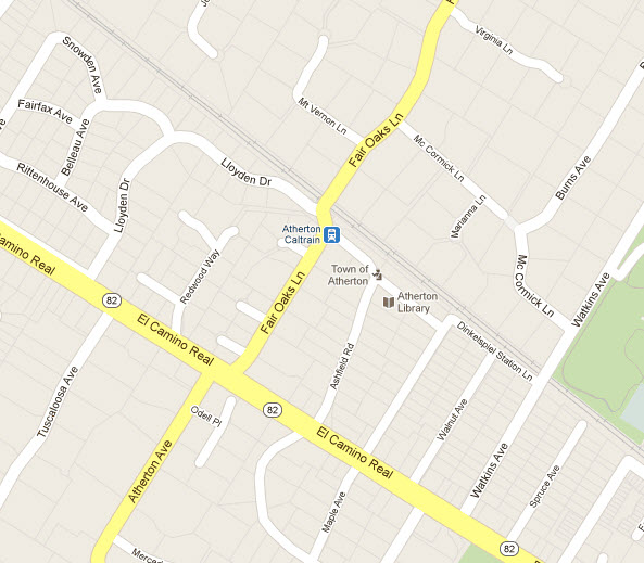
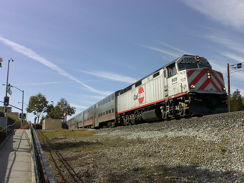
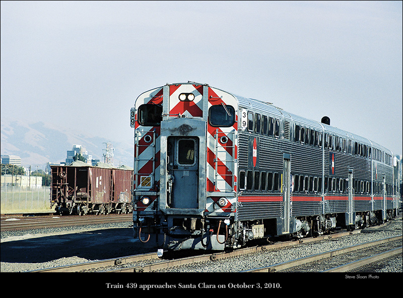
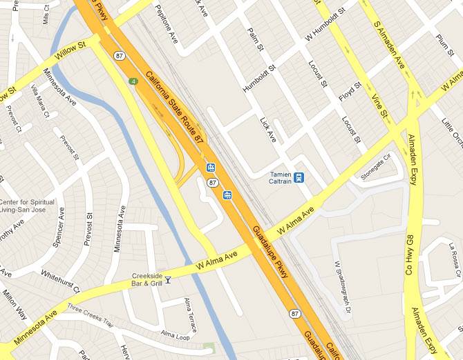
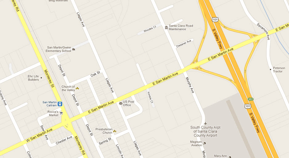
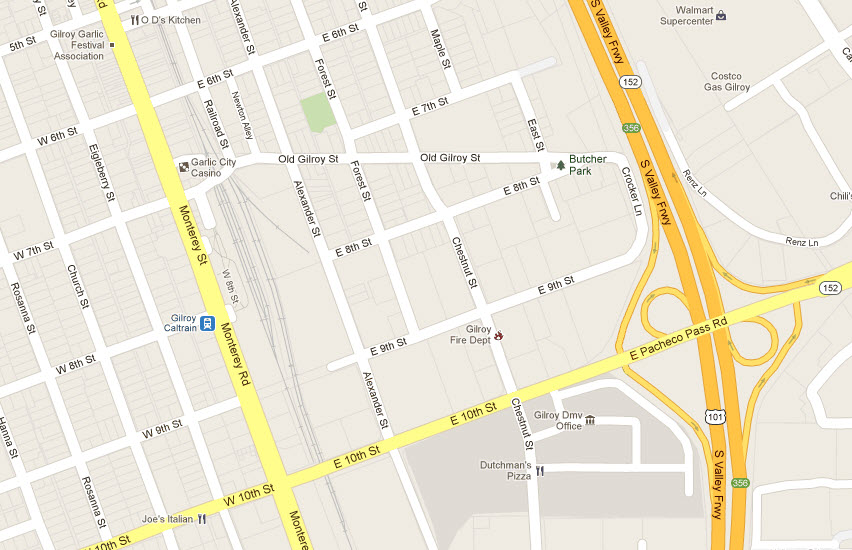
CalTrain is a commuter rail service that
originates out of San Francisco and heads south to San Jose, and for some
trains, a little further south. There are 43 northbound and southbound
trains a day during the week. Out of them, 17 SB's and 18NB's service the
next stop south, Tamien. Of those, there are 3 NB's and 2 SB's doing the
Gilroy thing. The trains to and from Gilroy are morning only for NB's to
San Francisco, and afternoon only for the two SB's.
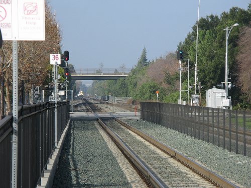
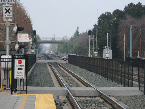
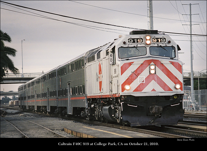
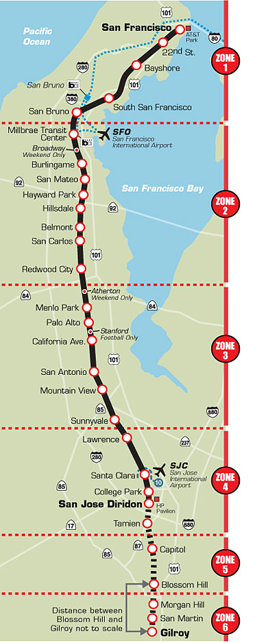
Caltrain has 29 regular stops, one football-only stop
(Stanford Stadium), and two weekend-only stops (Broadway and Atherton). As of
January 2011, Caltrain runs 86 weekday trains (22 Baby Bullet and Limited), 36
Saturday (4 Baby Bullet), and 32 Sunday (4 Baby Bullet).
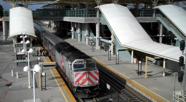
From the Caltrain Website: A Caltrain train is almost two stories
tall, weighs close to one million pounds, has flashing lights and takes more
than a half-mile to stop. Please stay out of its way. In
addition to the 92 weekday, 36 Saturday and 32 Sunday trains, Caltrain also
operates extra trains for Giants baseball games and other special events.
Union Pacific Railroad runs freight trains along the Caltrain line. So, you can
expect to see a train at any time on any track. Our tips will provide you with
the knowledge you need to stay safe when you are near or need to cross train
tracks. If you encounter an emergency on Caltrain or see something suspicious,
call the Transit Police at 1-877-SAF-RAIL (1-877-723-7245)
Mileage to San Jose/Diridon is 47.5 miles (76.4km), to Gilroy it's 77.4 miles/124.5km.
The system, for fare purposes, is split into 6 zones. San Jose is in
zone 4. Please check the various websites for current fares.
Note about the Hold-Out Rule:
Stations where trains on both tracks are boarded on the same side
(requiring some passengers
to cross an active track to board) have a "hold-out" rule,
prohibiting any train from passing a train that is stopped at the
station for passengers. (The rule applies even when the passing
train is on the side opposite the platform.) The rule does not
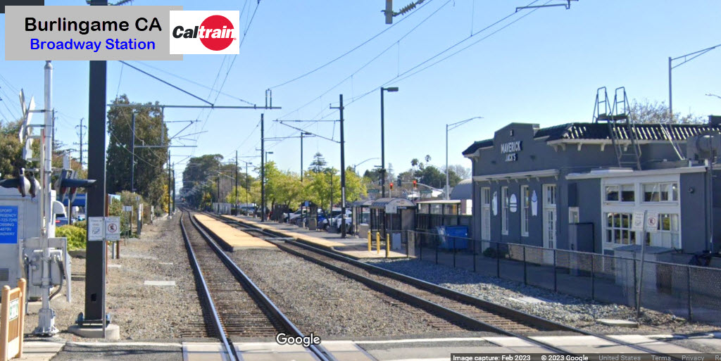
apply to Broadway and Atherton stations on weekdays, when no trains
stop there. Stations where this applies are:
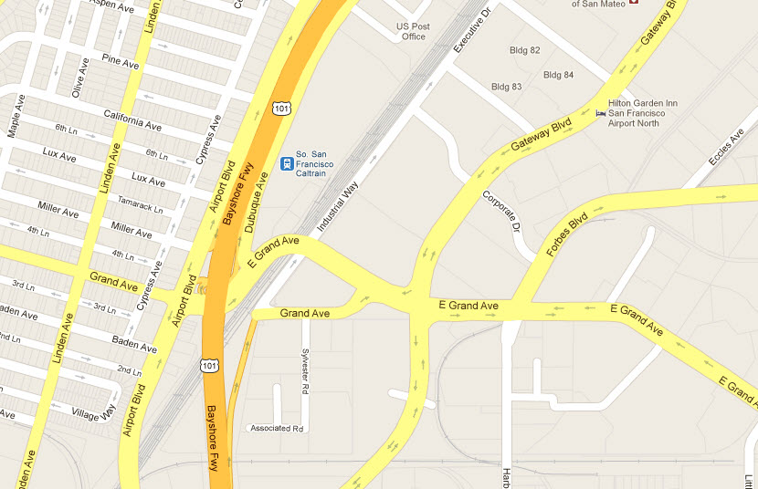
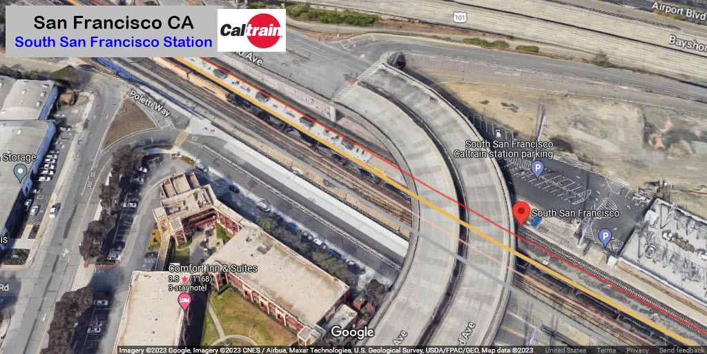
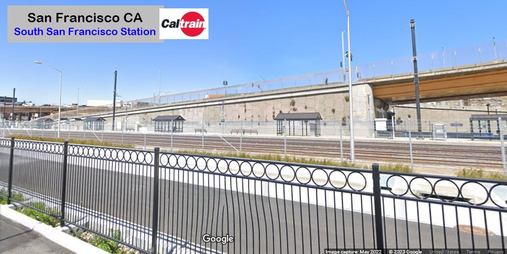
-- South San Francisco
-- Broadway
-- Atherton
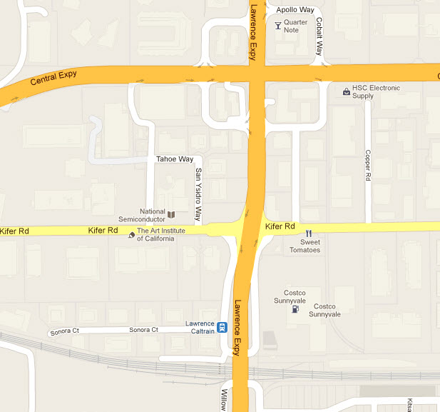
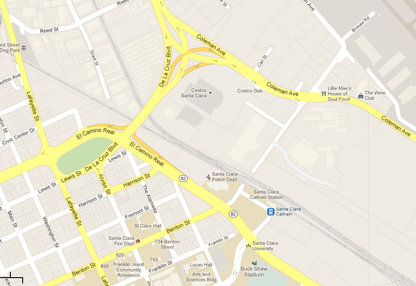
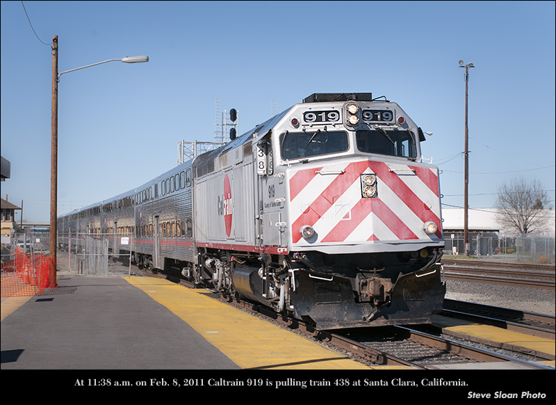
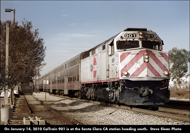
-- Santa Clara
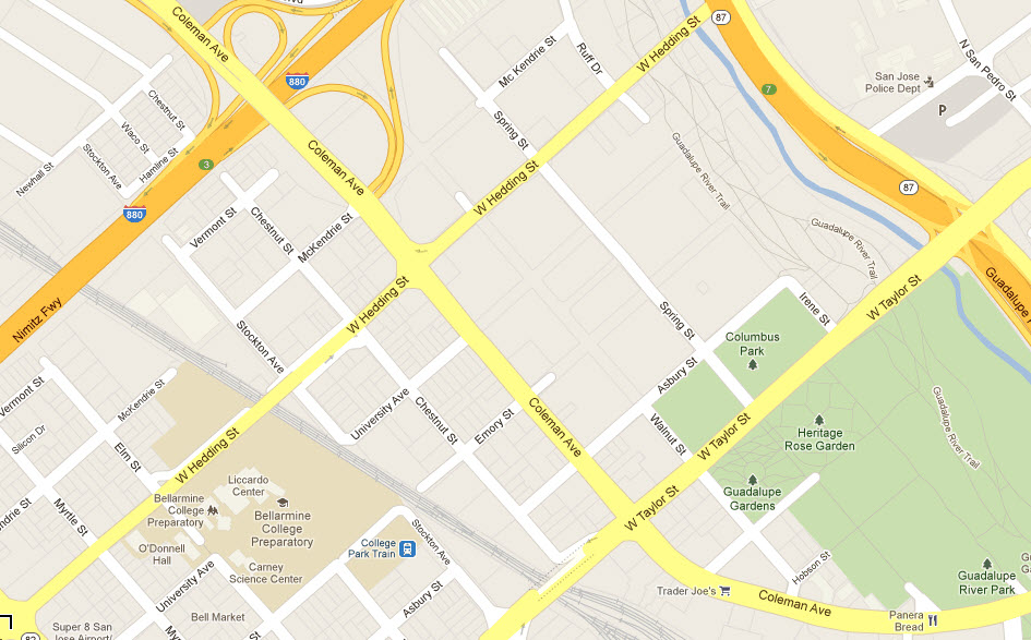
-- College Park
Acknowledgements:
Denver Todd
Tim Zukas
Marcel Marchon
Steve Sloan
Blimpaccident
Coolcaesar
Google Maps
Wikipedia
From the CalTrain website: Passenger service on the peninsula corridor
began on Oct. 18, 1863 under the authority of the San Francisco
and San Jose Railroad Company. Prophetically, some
$600,000 of the original $2 million capital stock issue was
owned by the voters of San Francisco, San Mateo and Santa Clara
counties following a three-county election in 1861.
In 1870, the San Francisco and San Jose
Railroad Company was acquired by the firm that was consolidated
eventually into the Southern Pacific Railway. S.P.
double-tracked the line in 1904, and operated passenger service
in the corridor successfully until after World War II.
Changing commute patterns impacted Southern
Pacific along with private carriers all over the country, and
after protracted struggles with the state Public Utilities
commission on fares and service levels, SP petitioned to abandon
passenger service in 1977.
Once more, the three Peninsula counties
stepped into the breach with a temporary Fare Stabilization Plan
-- partially subsidizing commuter tickets -- that reversed a
long pattern of declining ridership and set the stage for state
sponsorship of the Peninsula Commute in 1980.
From 1980 until mid-year 1992, Caltrans
contracted with SP to provide passenger service in the corridor,
sharing operating subsidies with San Francisco, San Mateo and
Santa Clara counties. The state assumed sole
responsibility for station acquisitions and other capital
improvements until the service resulted in formation of the
Peninsula Corridor Joint Powers Board in 1987. The JPB
agreed to assume operating responsibilities for Caltrain
effective July 1, 1992, and to shoulder 100 percent of the
operating subsidy a year later.
In December 1991, the JPB purchased the
rail right of way from San Francisco to San Jose. The JPB
secured trackage rights to Gilroy for another $4 million, with
an option to acquire half the right of way in the future. SP
retains rights to operate freight service in the corridor.
To replace SP as the commute operator, the
JPB signed Amtrak, the national rail corporation, to a
three-year agreement with two one-year options beginning July 1,
1992. The contract was extended through September 2001.
Contract oversight is provided by the Joint Powers Board.
The JPB signed a new contract with Amtrak, the National Railroad
Passenger Corporation, on November 1st, 2001. This
contract agreement will be effective for a five-year term.
As its legacy to the JPB, CalTrains has deeded 26 stations, 20
diesel locomotives and 73 bi-level passenger cars to the local agency.
As of May 25th, 2012, Amtrak's contract
with CalTrain had expired and has not been renewed.
Service is being taken over by TransitAmerica.
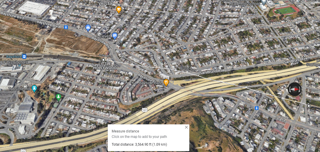
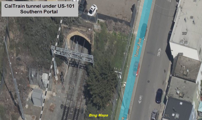
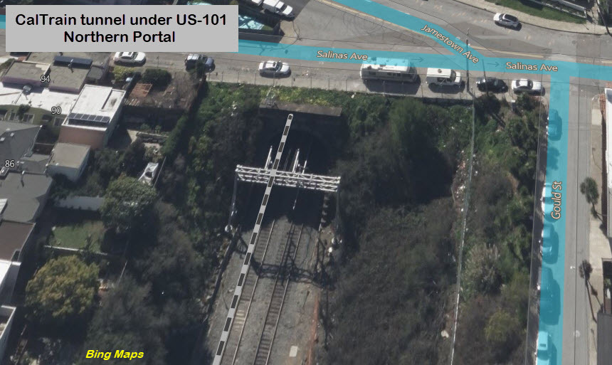
The CalTrain route takes about a 3,500 foot dip underground just north of the
Bayshore station. In doing so, it crosses under US-101, Bayshore Blvd, and
the MUNI light rail T line.
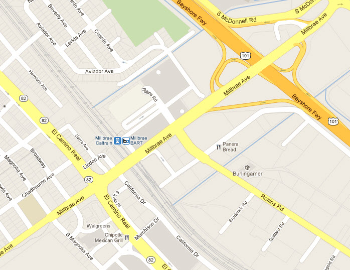
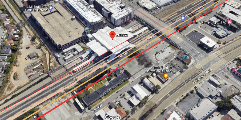
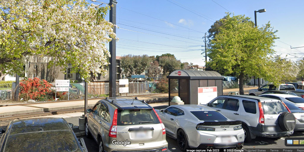
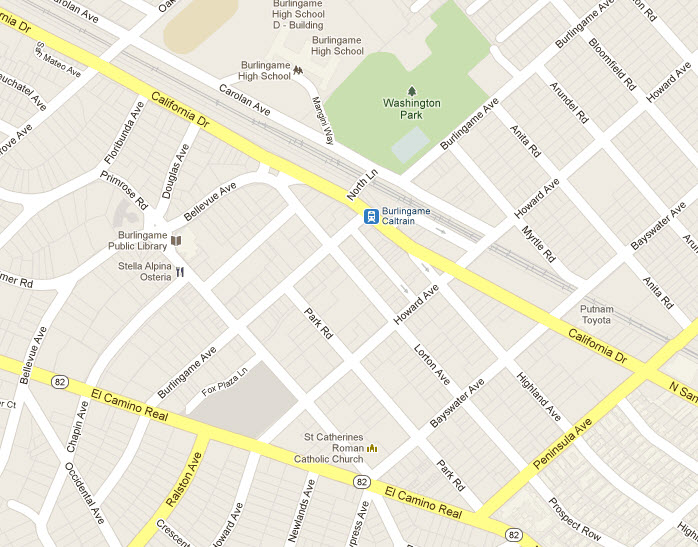
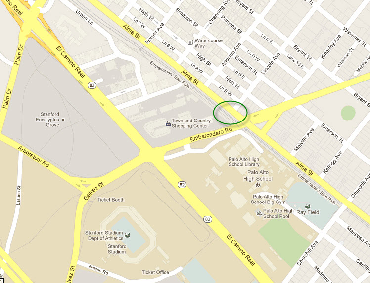
GPS Coordinates: 37.58728, -122.36194
1190 California Dr, Burlingame CA 94010
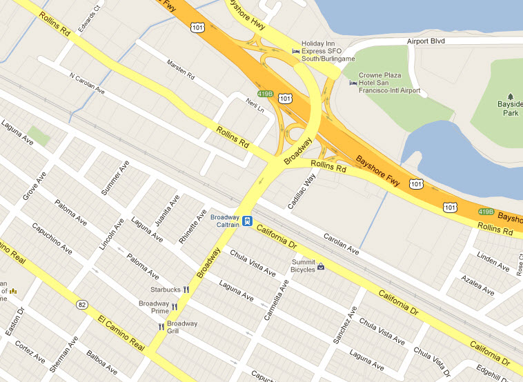
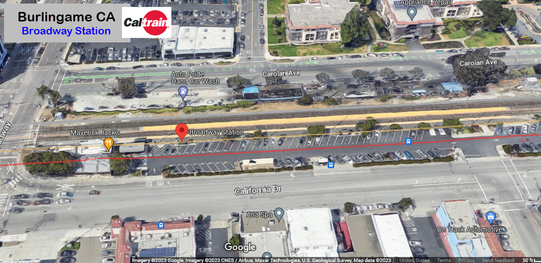
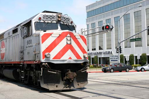
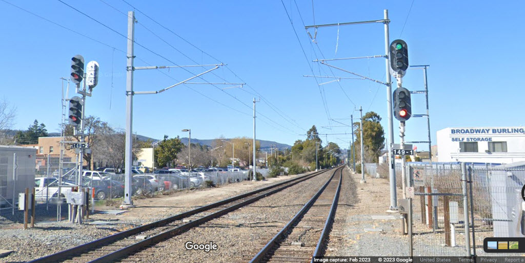
Dunno who took this, but it is at the Broadway grade crossing,
at what is now the Broadway Burlingame Self Storage.
Looking north from here, there is a set of signals for both directions.
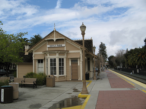
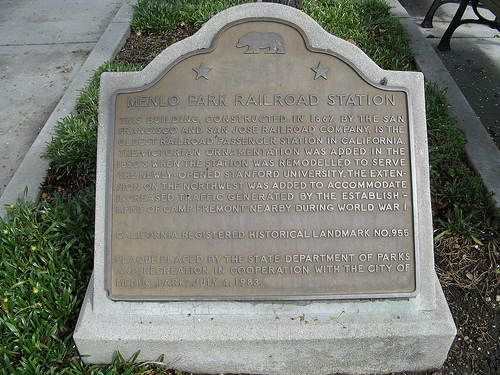
The oldest railroad station still standing in California is
this one here in Menlo Park. These pictures are courtesy Marcel
Marchon, who has allowed me to use them here. Marcel has a
lot more cool stuff and videos at:
http://trainblog.com/tags/caltrain/ ,
with the homepage at: http://trainblog.com/
I love trains, and I love signals. I am not an expert. My webpages reflect what I find on the topic of the page. This is something I have fun with while
trying to help others.
Please Note: Since the main focus of my two websites is railroad signals, the railfan guides are oriented towards the signal fan being able to locate them.
For those of you into the modeling aspect of our hobby, my
indexa page has a list of almost everything railroad oriented
I can think of to provide you with at least a few pictures to help you detail your pike.
If this is a railfan page, every effort has been made to make sure that the information contained on this map and in this railfan guide is correct. Once in a while,
an error may creep in :-)
My philosophy: Pictures and maps are worth a thousand words, especially for railfanning. Text descriptions only get you so far, especially if you get lost or
disoriented. Take along good maps.... a GPS is OK to get somewhere, but maps are still better if you get lost! I belong to AAA, which allows you to get
local maps for free when you visit the local branches. ADC puts out a nice series of county maps for the Washington DC area, but their state maps do not have the
railroads on them. If you can find em, I like the National Geographic map book of the U.S..... good, clear, and concise graphics, and they do a really good job
of showing you where tourist type attractions are, although they too lack the railroads. Other notes about specific areas will show up on that page if known.
Aerial shots were taken from either Google or Bing Maps as noted. Screen captures are made
with Snagit, a Techsmith product... a great tool if you have never used it!
By the way, floobydust is a term I picked up 30-40 years ago from a National Semiconductor data book, and means miscellaneous
and/or other stuff.
Pictures and additional information is always needed if anyone feels inclined to take 'em, send 'em, and share 'em, or if you have something to add or correct.... credit
is always given! Please be NICE!!! Contact info is here
Beware: If used as a source, ANYTHING from Wikipedia must be treated as being possibly inaccurate, wrong, or not true.
 MUNI (the Municipal Transport Agency) has 71.5 miles (115.1 km) of standard-gauge track, seven light rail
lines (six regular lines and one peak-hour shuttle), three tunnels, nine
subway stations, twenty-four surface stations and eighty-seven surface stops. MUNI also offers bus service.
MUNI (the Municipal Transport Agency) has 71.5 miles (115.1 km) of standard-gauge track, seven light rail
lines (six regular lines and one peak-hour shuttle), three tunnels, nine
subway stations, twenty-four surface stations and eighty-seven surface stops. MUNI also offers bus service.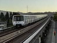 BART is a heavy rail system, known in other cities as a subway or the EL. BART
is the fifth-busiest heavy rail rapid transit system in the United States. BART
is operated by the San Francisco Bay Area Rapid Transit District which formed in
1957. BART is mainly an intercity train that connects many surrounding cities
in the SF Bay Area (but has a few stops in SF), while the MUNI is an intra-city public
transportation that connects the entire city itself with bus and rails. Another way to look at it:
While BART travels to the areas further from the city, the MUNI Metro tours the heart of the city.
BART is a heavy rail system, known in other cities as a subway or the EL. BART
is the fifth-busiest heavy rail rapid transit system in the United States. BART
is operated by the San Francisco Bay Area Rapid Transit District which formed in
1957. BART is mainly an intercity train that connects many surrounding cities
in the SF Bay Area (but has a few stops in SF), while the MUNI is an intra-city public
transportation that connects the entire city itself with bus and rails. Another way to look at it:
While BART travels to the areas further from the city, the MUNI Metro tours the heart of the city.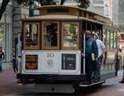 The Cable Cars. Cable cars and street cars are San Francisco's historic public transit. Cable cars are located downtown and run on three lines: Powell-Hyde, Powell-Mason,
and California Street. The F-Line streetcar runs up and down Market Street all the way to Fisherman's Wharf.
The Cable Cars. Cable cars and street cars are San Francisco's historic public transit. Cable cars are located downtown and run on three lines: Powell-Hyde, Powell-Mason,
and California Street. The F-Line streetcar runs up and down Market Street all the way to Fisherman's Wharf.