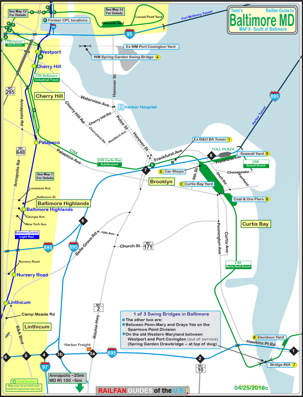
What's Here:
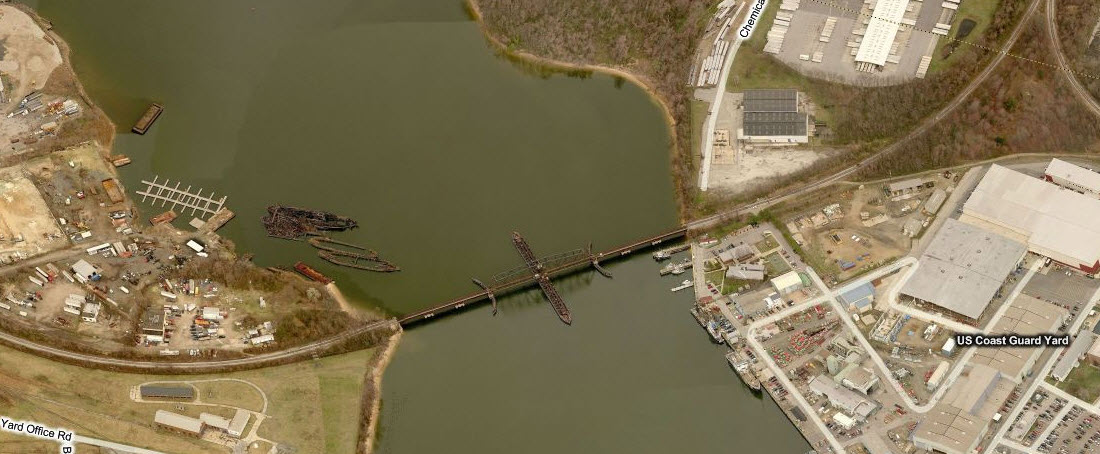
Former Western Maryland Spring Garden Swing Bridge
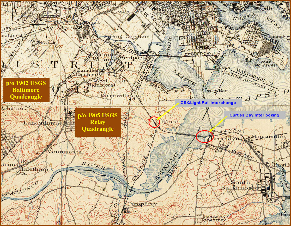
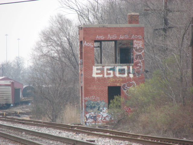
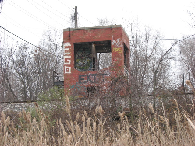
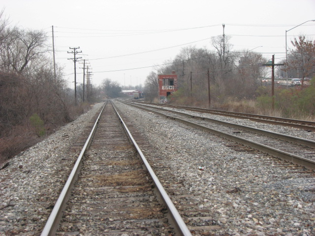
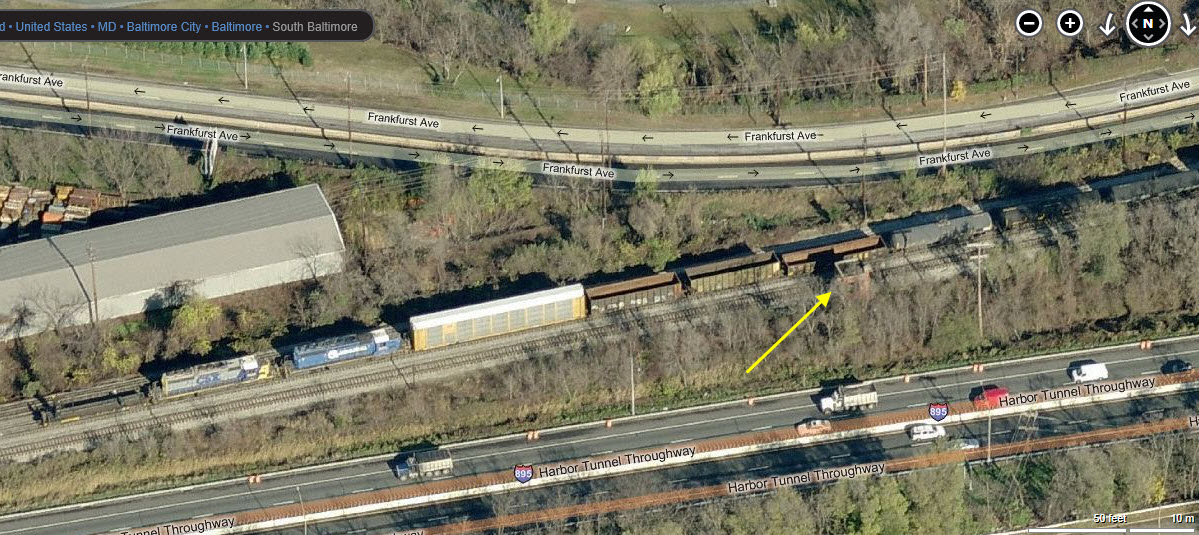
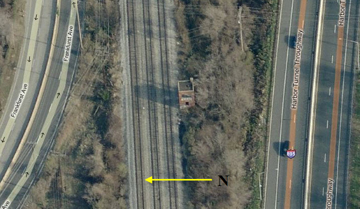
Former B&O "BA" Tower
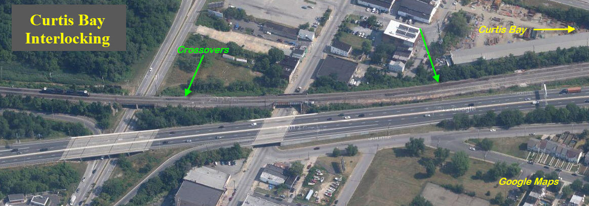
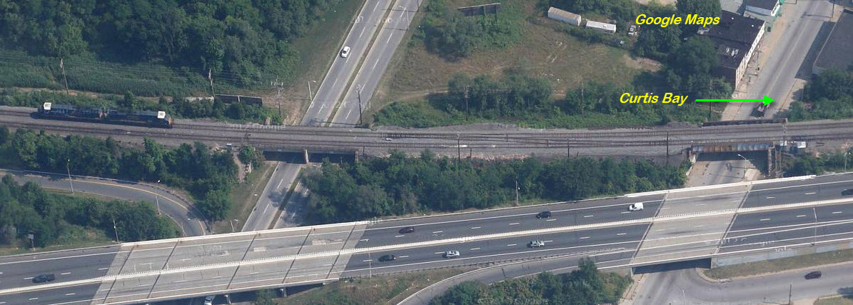
CSX Curtis Bay Sub-Division
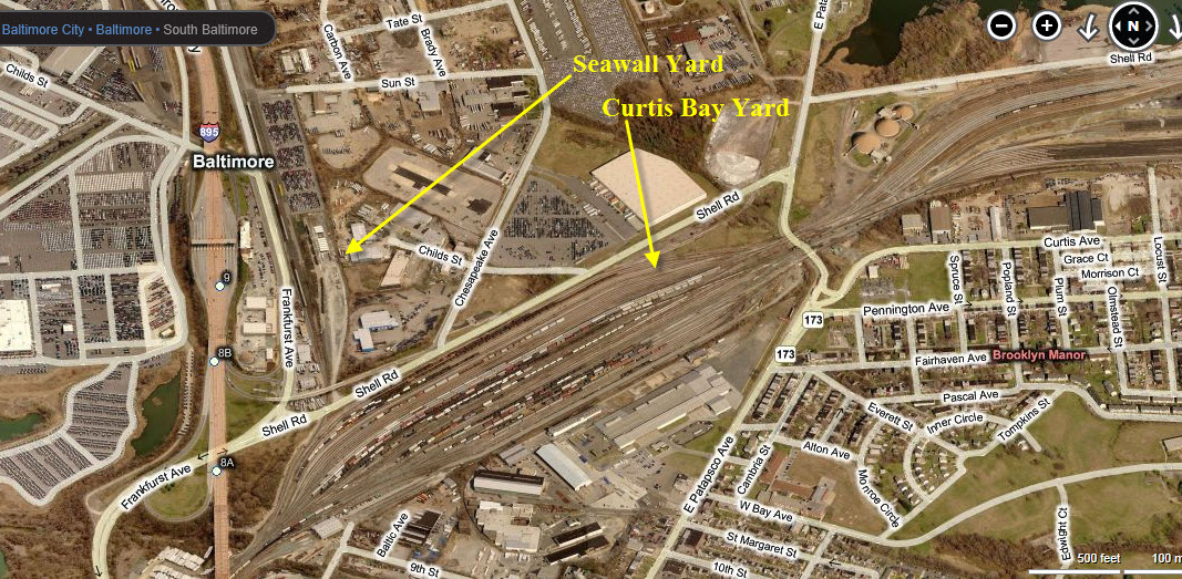
CSX Seawall Yard
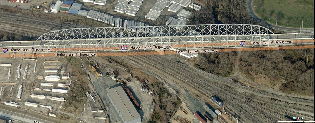
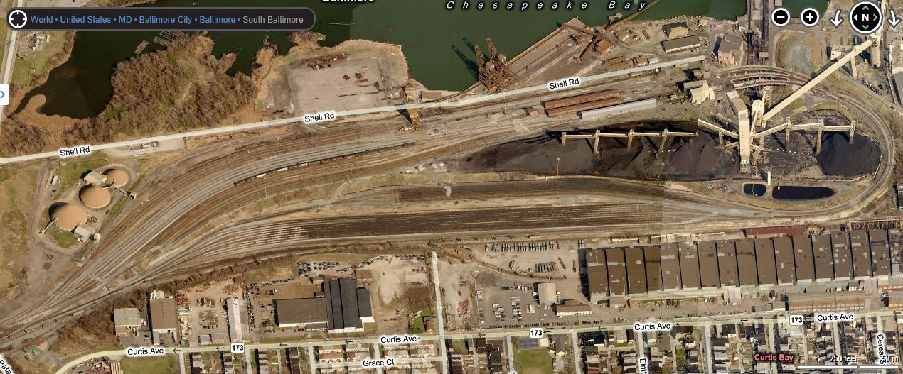
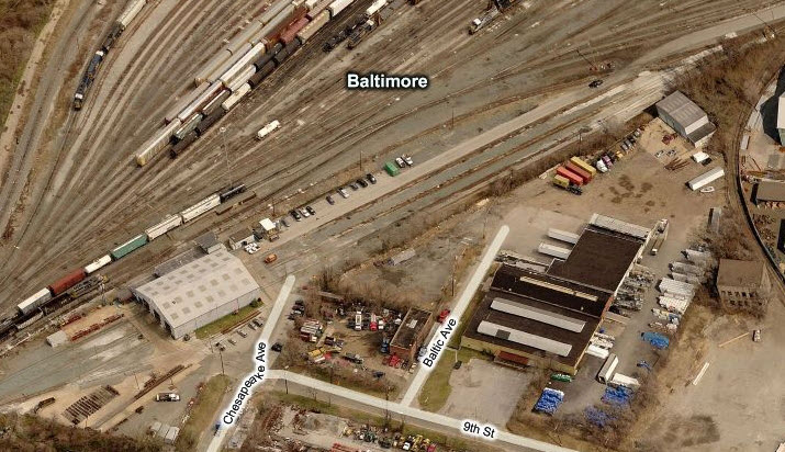
CSX Curtis Bay Yard
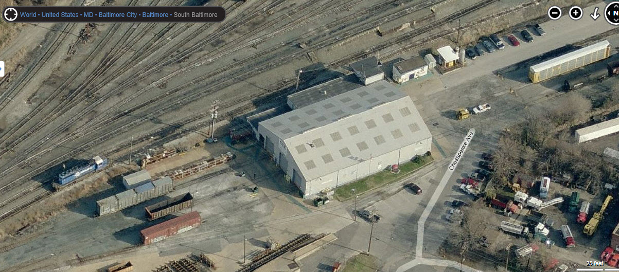
Car maintenance shops nat the north end of Curtis Bay Yard
CSX Coal Piers
CSX Marley Neck Sub-Division
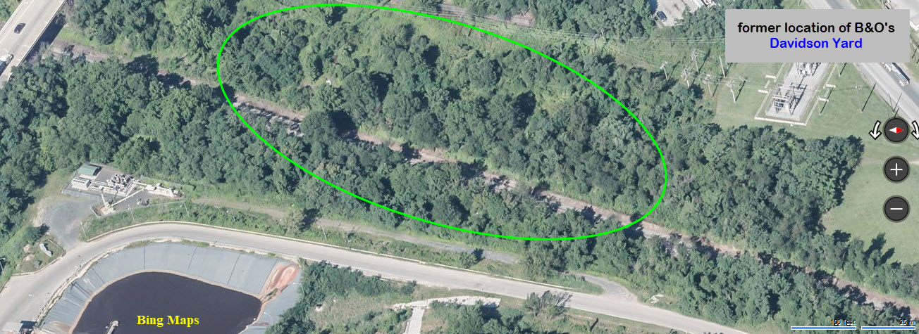
Former B&O Davidson Yard
Light Rail stations shown on the map are covered on Map 7
Access by train/transit:
Light rail runs to the west of all of these locations, so it's not really usable for railfanning these sights.
Geography:
Pretty much flat
The Scoop:
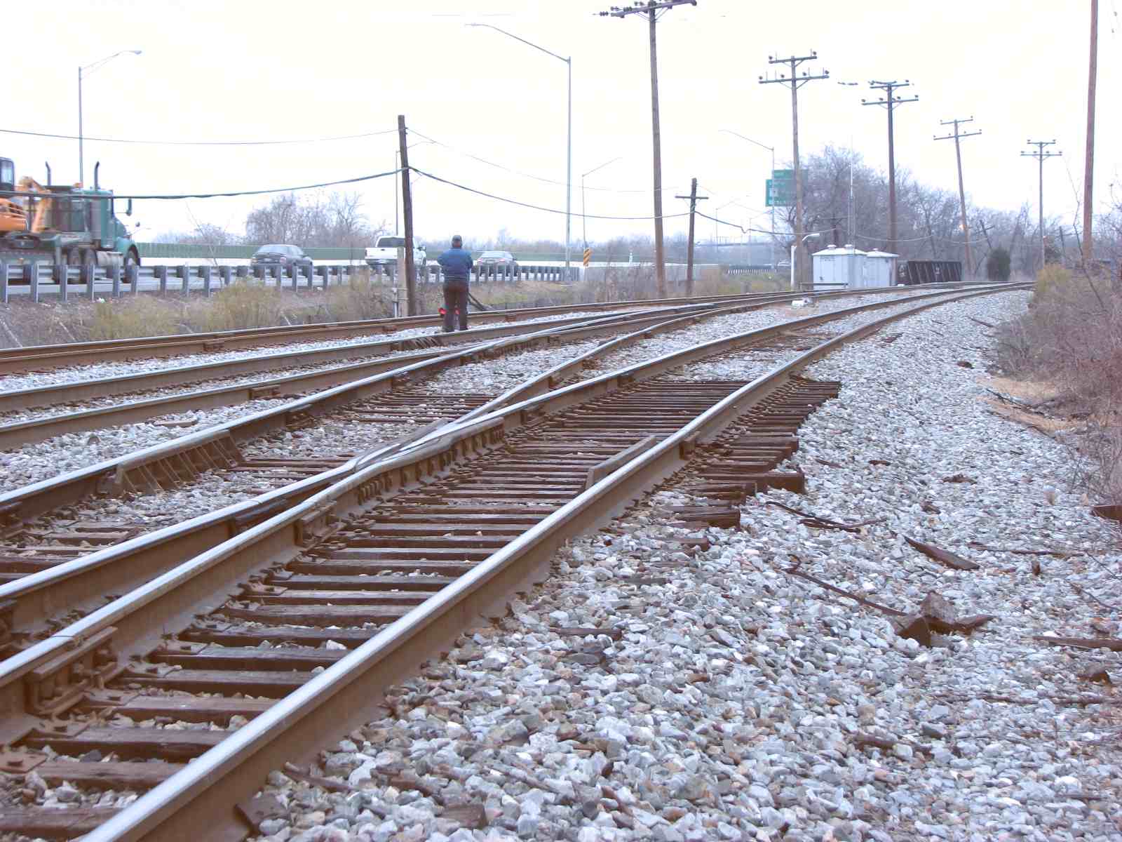
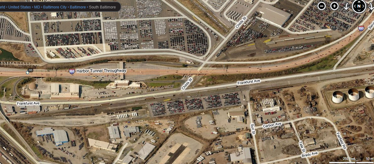
The map below shows the south side of Baltimore. Not much going on in this part of Baltimore unless you are into yards. There's
Curtis Bay Yard, with it's car shops on the north end and west side. Seawall Yard sees a lot of auto-racks
from ships unloading on the north side of 895.
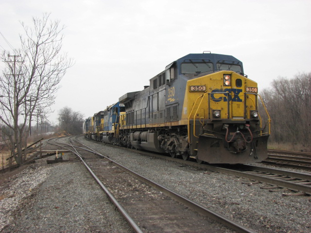
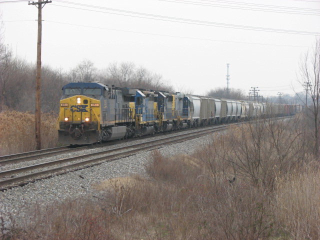
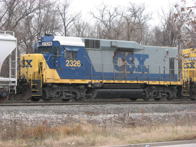
On the south side of Curtis Bay yard, are three sets of specially modified SDs in a cow and calf or cow and two calves figuration. They are painted in yellow
primer only. They have been behind fences for years.... so the best you could do is to go telephoto. Years ago, like 40 or 50, they used to have narrow
gauge "mules" to shove the cars out to the ships.... they were pretty cool!
Curtis Bay is easy to get to from the Canton side of the Harbor via the Harbor Tunnel Thruway (895), from Westport, and downtown where Riverside yard is
located. Not much more than 10 minutes away during off rush hour periods.
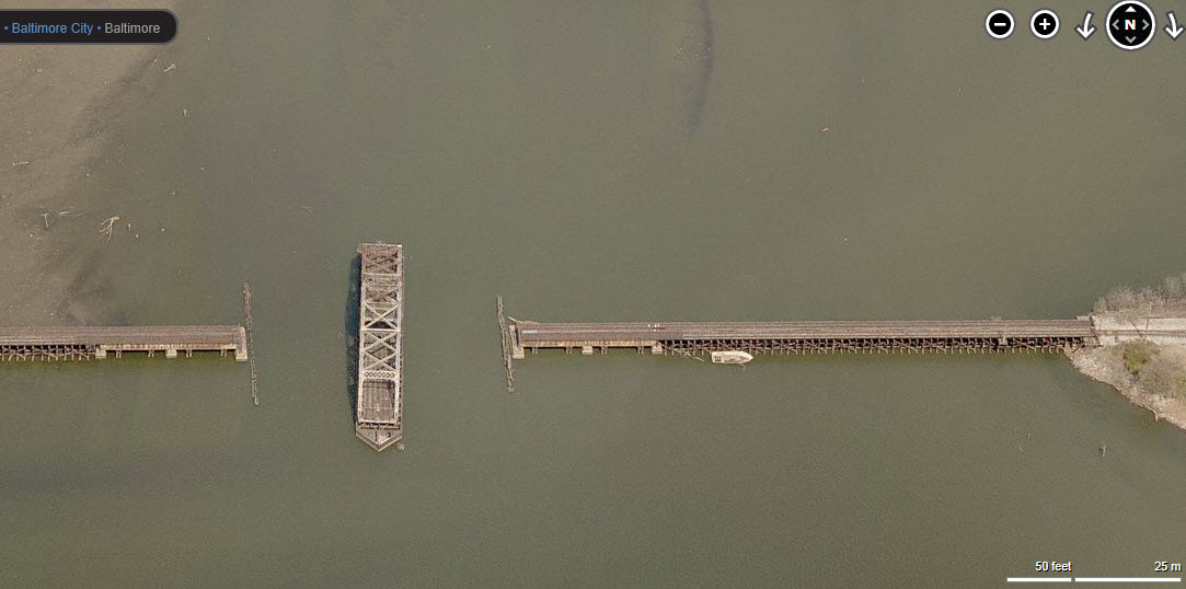
There used to be one local a day going over the swing bridge, but I haven't been down here in years to be able to confirm this is still happening. This
swing bridge is one of three in the Baltimore area. Of the two other bridges, only one is used, and is between Penn Mary and Grays yards on the east
side. The other (at the very top of the map) is on the old Western Maryland between Westport and Port Covington, and is in the permanently open position
since those tracks are long gone :-(
Acknowledgements:
Steve Corfman
Google Maps
Bing Maps
Open Railway Map
Wikipedia
Websites and other additional information sources of interest for the area:
None for now.....
Depending on where you are coming from, there are a number of ways to get to these yards.
If you are on the eastern side of Baltimore on the "other" side of the Bay in Sparrows Point (for instance), you want to get on the Beltway heading
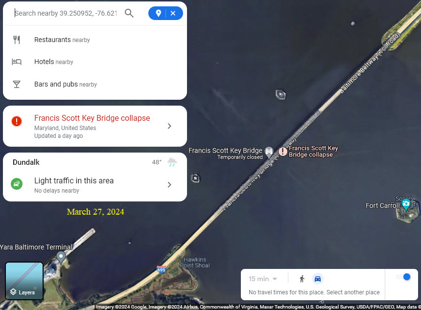
south, and then (pay to) cross the Francis Scott Key Bridge.
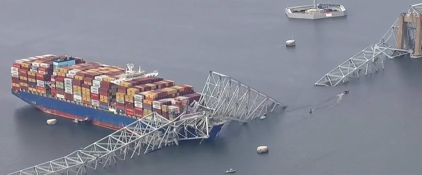
As of March 26th,
2024, the Key Bridge was knocked down by a runaway cargo ship, so to get here
from the east side of Baltimore, you will now have to go thru the city via the
Fort McHenry Tunnel on I-95, the Baltimore Harbor Tunnel on I-895, or thru the
city itself.
From downtown Baltimore, Hanover Street would be the quickest way.
If you're coming from the south, you CAN NOT get off of 895, so you'll have to come up Ritchie Highway.
If you're coming up I-95 from the south, take the Patapsco Ave ext, the first exit on the inside of the Beltway, 695, and then head south.
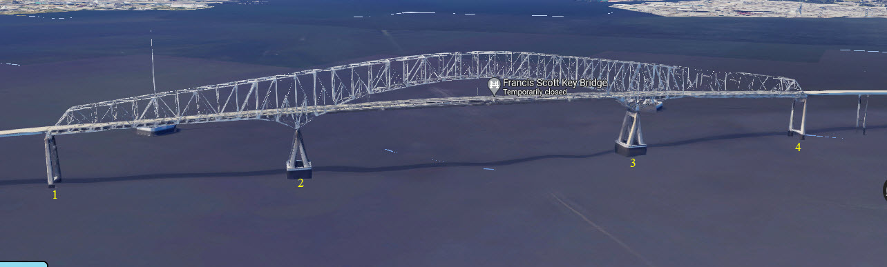
The container ship hit pylon #2, and as a result, the entire metal truss section went into the water.....
Former GPS Coordinates: 39.24127, -76.60301
I don't know when the tower was razed. :-)
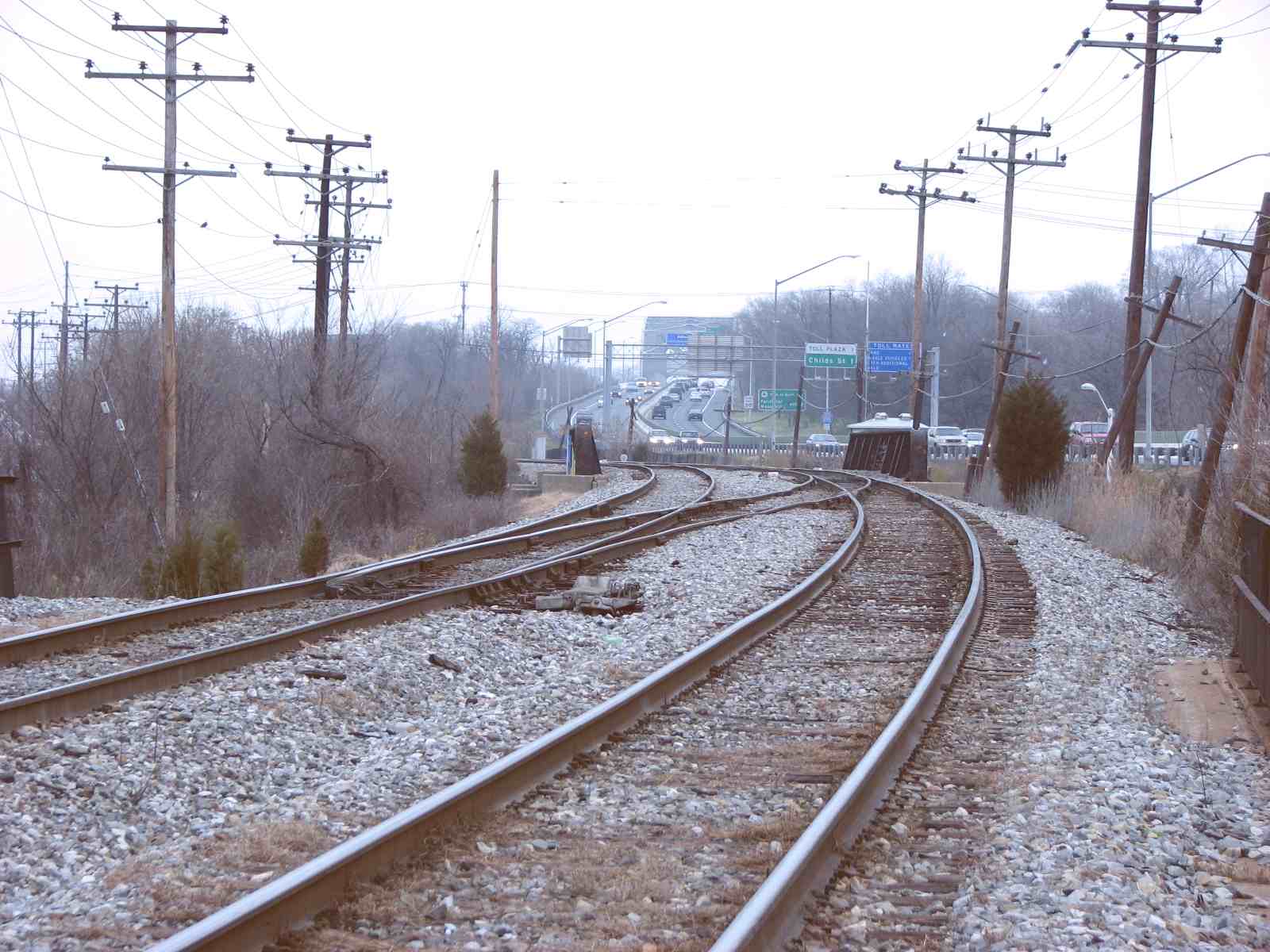
CSX Curtis Bay Yard
GPS Coordinates: 39.23676, -76.59091 (center)
CSX Car Shops
GPS Coordinates: 39.23942, -76.59501
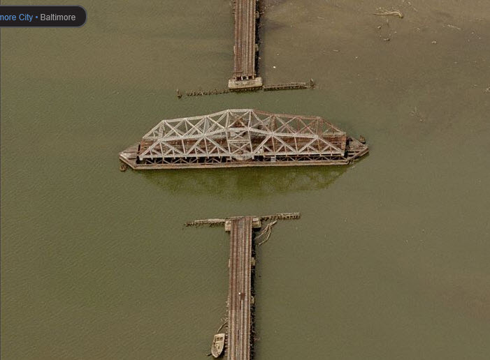
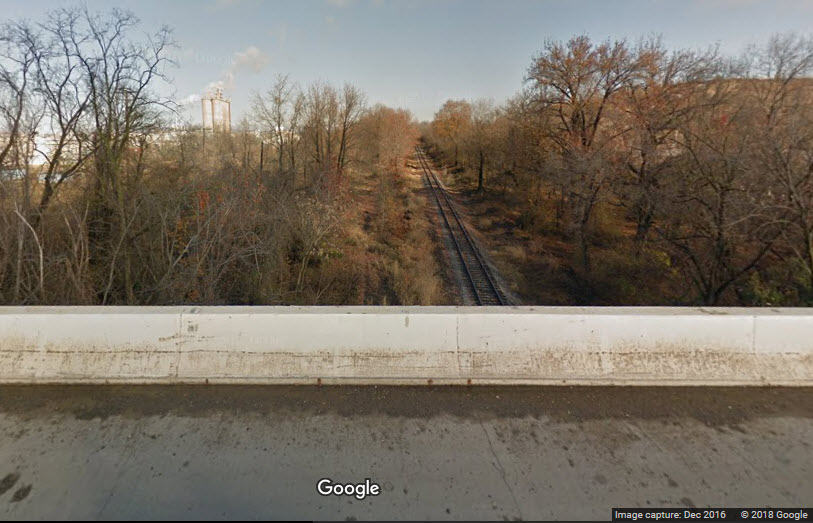
ex Western Maryland Spring Garden Swing Bridge
GPS Coordinates: 39.26510, -76.62387
This bridge hasn't been in service since the late 80's.
The shot below shows where the line over to Port Covington used to connect to what is here now.
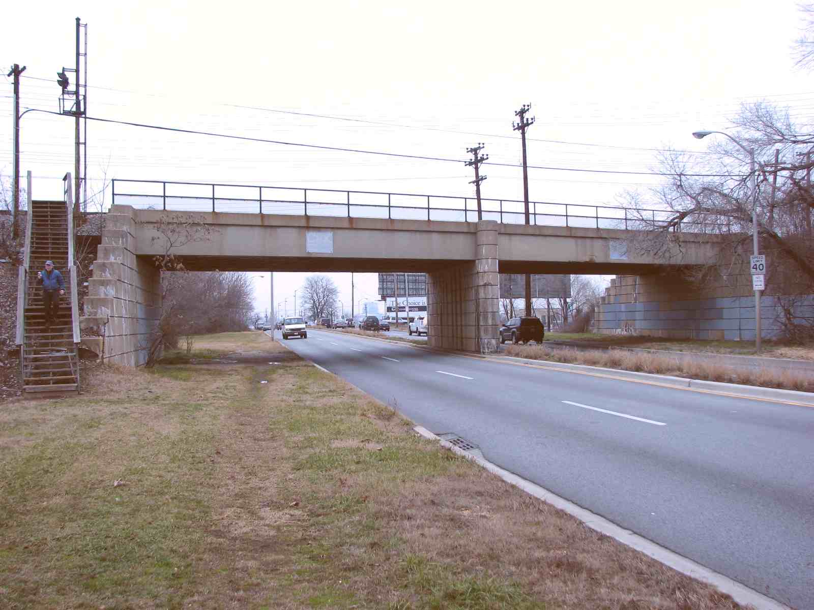
GPS Coordinates: 39.24078, -76.58204
CSX Seawall Yard
GPS Coordinates: 39.22318, -76.58180
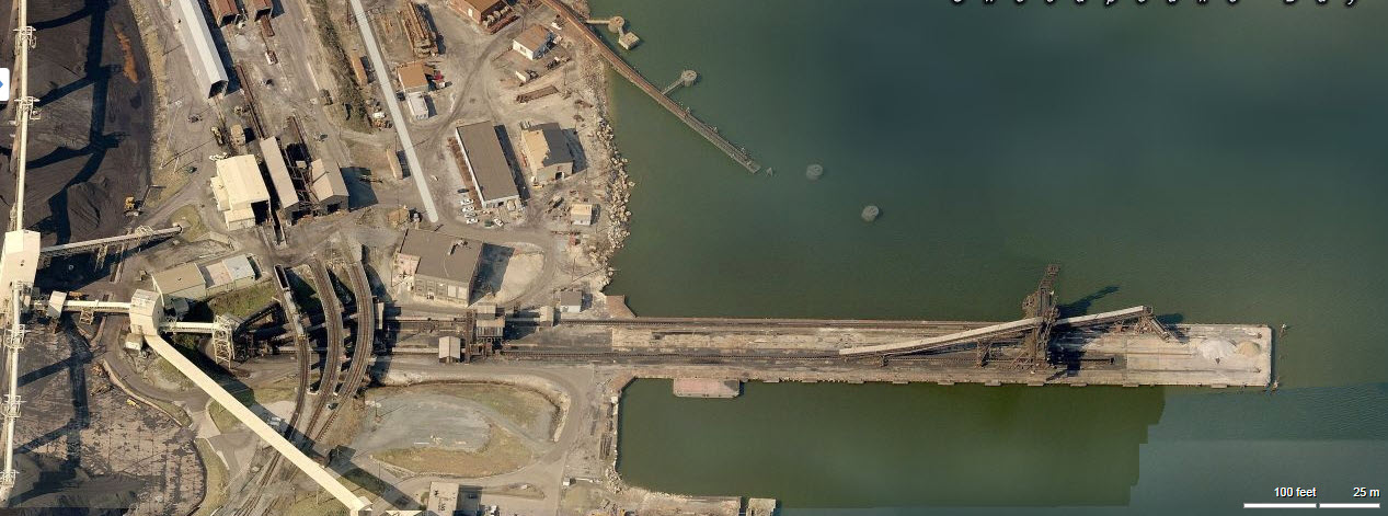
CSX Coal Pier
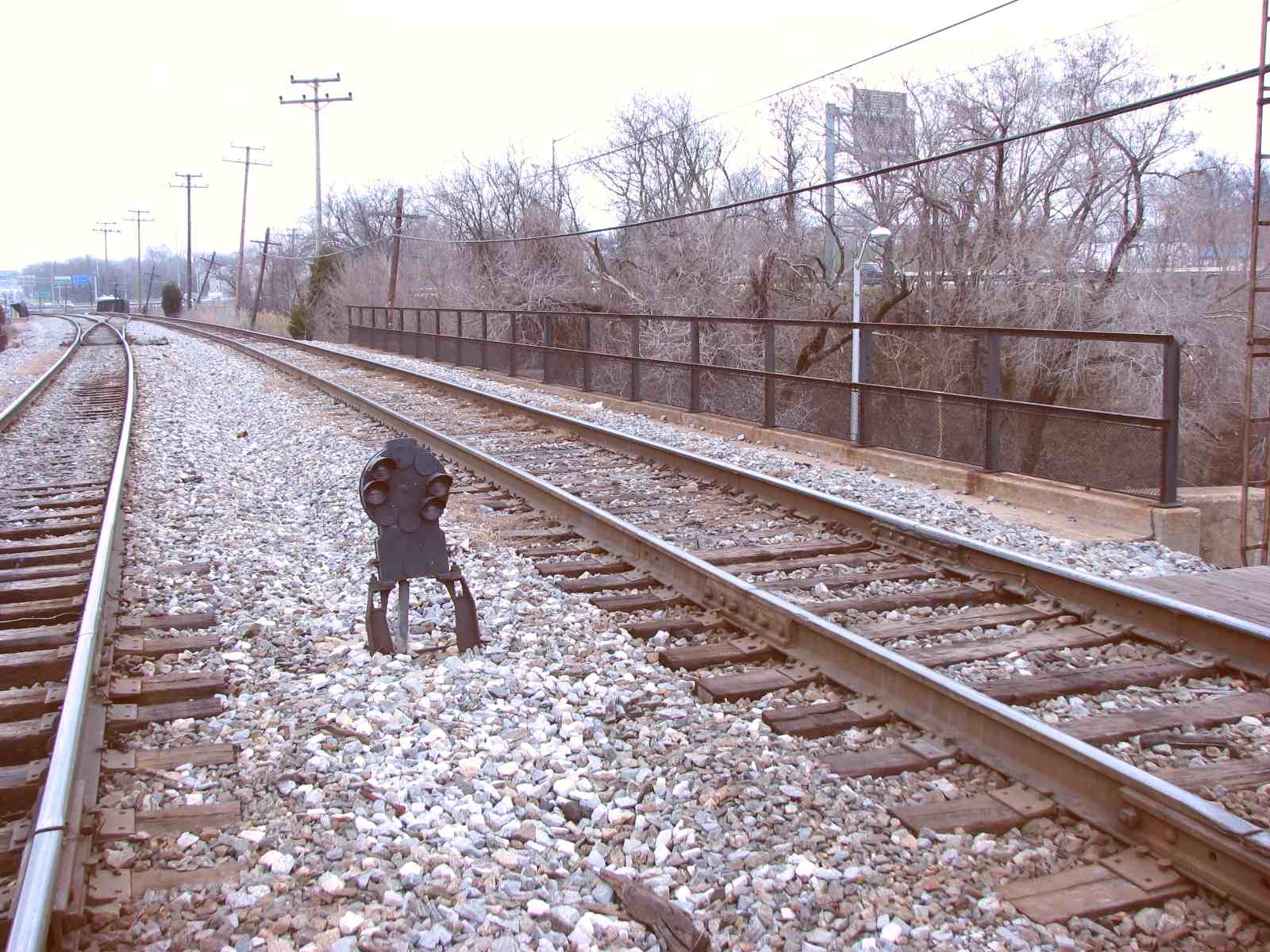
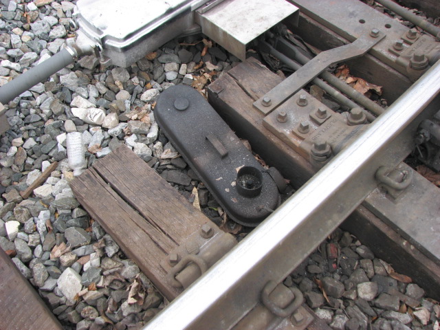
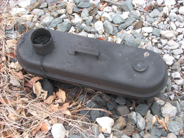
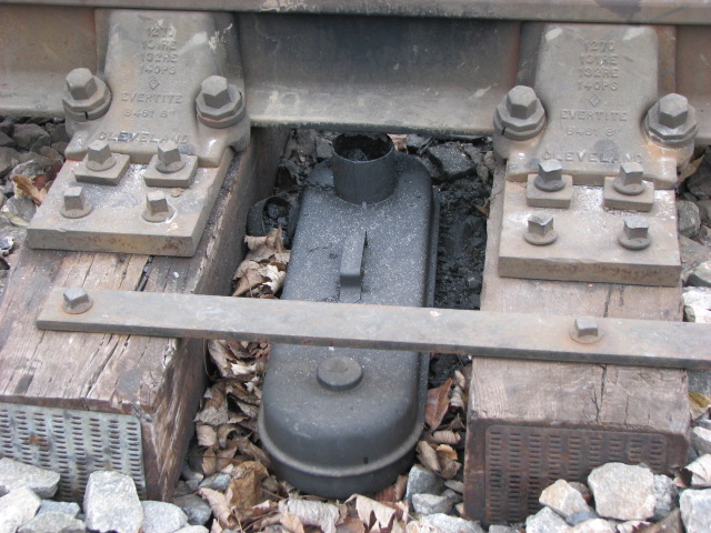
CSX Swing Bridge #8A
GPS Coordinates: 39.20112, -76.57611
Picture by Steve Corfman
Picture by Steve Corfman
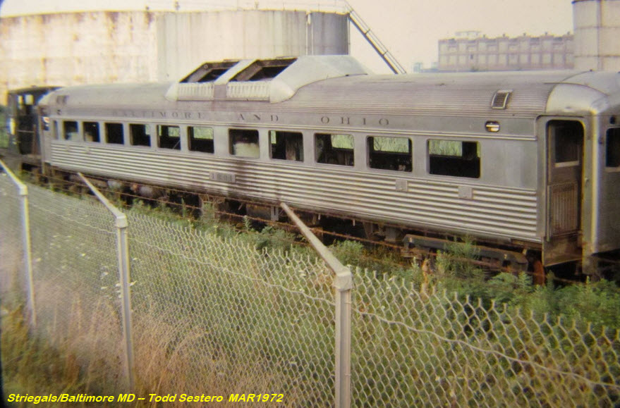
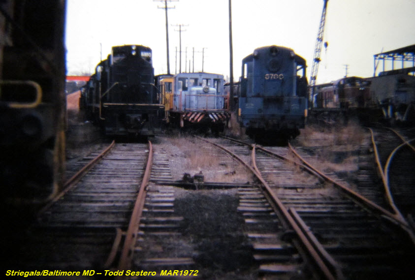
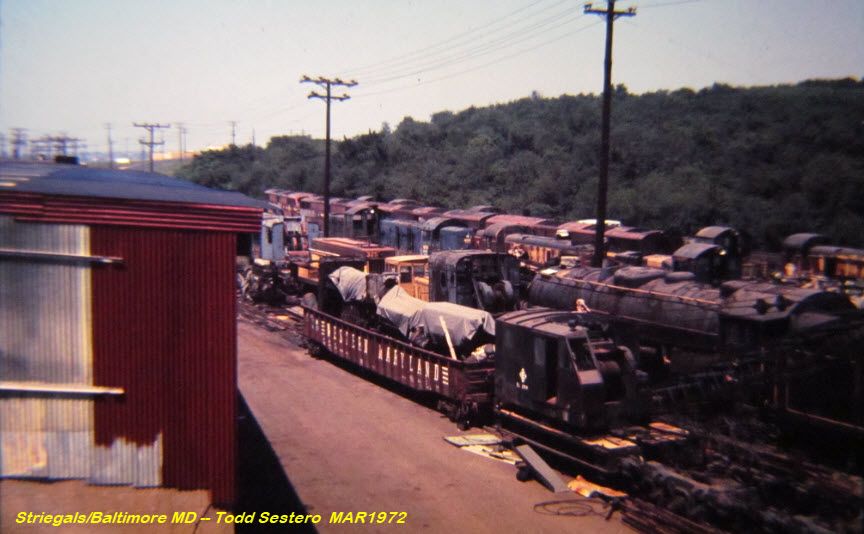
CSX Davidson Yard / Striegals
GPS Coordinates: 39.20898, -76.56869
Not exactly sure when Davidson Yard saw it's last job, but looking at the growth, I would say it has been at least 30 years. At the end of its career, it became a storage
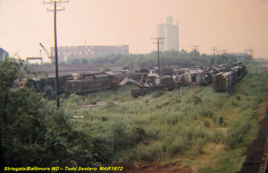
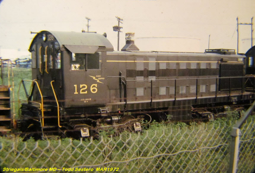
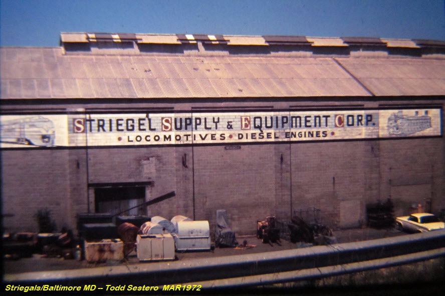
yard for Striegals. Adjacent to Davidson Yard used to be a firm called STRIEGAL's (the red "X"). They used to be in the surplus railroad locomotive
business, in fact, Reading 2101 used to be here way back in the very early 70's. I only had one interaction with Striegal's, and that was in the late 70's when I
had inquired about buying a second hand railroad
radio for an organization called RRP, or Railroad Passenger Cars,, a private company that rented refurbished B&O passenger cars for excursions. They used to
keep their cars down at Camden Station before it was taken over to build the current station and Oriole's Ball Park. More below in Foobydust.
Below are a few pictures from Striegal's back on one visit in 1972, notice the two Reading steamers sitting amongst the other "junk", one of which is 2101 :-)
You can get some idea of where they used to be by the grain tower in the far background, which can be seen in this picture taken from 695, the Beltway.
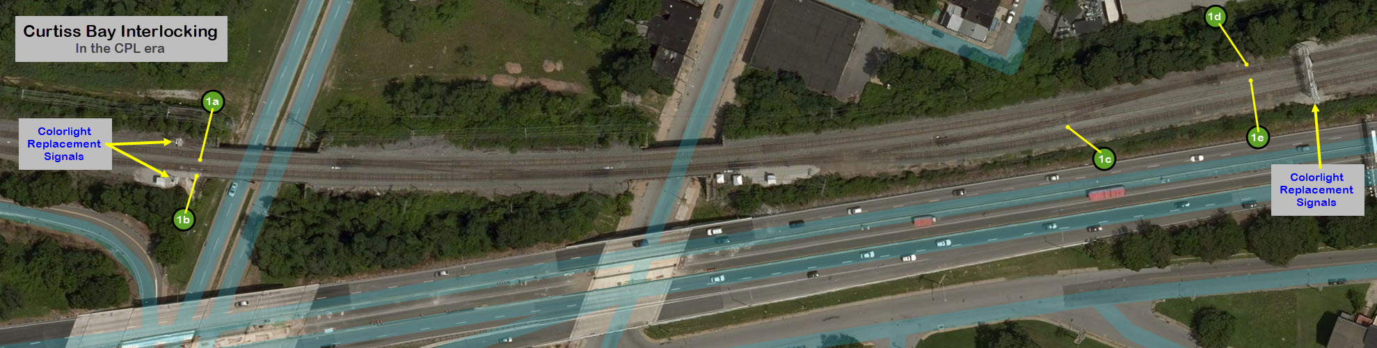
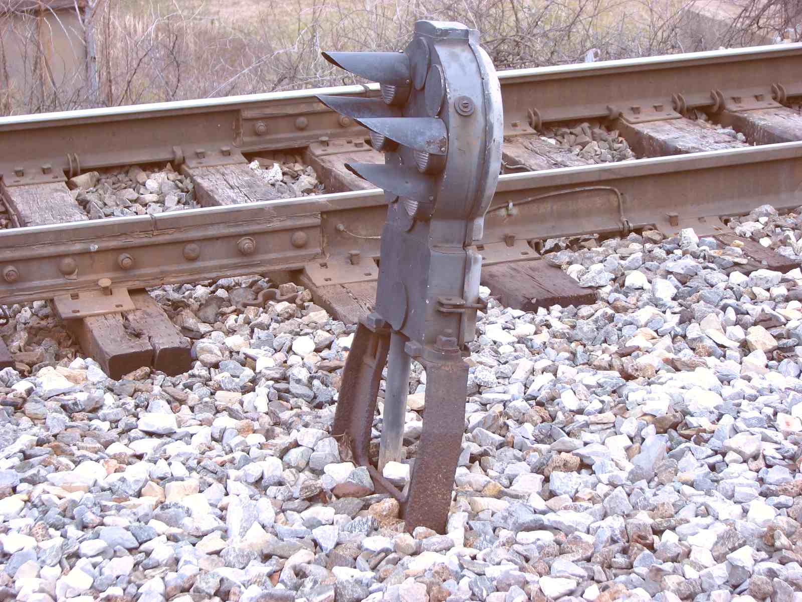
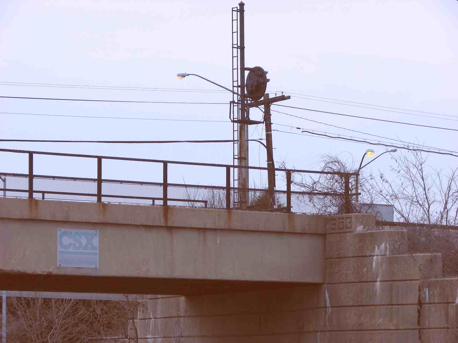
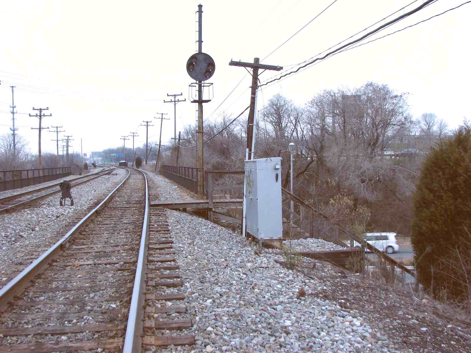
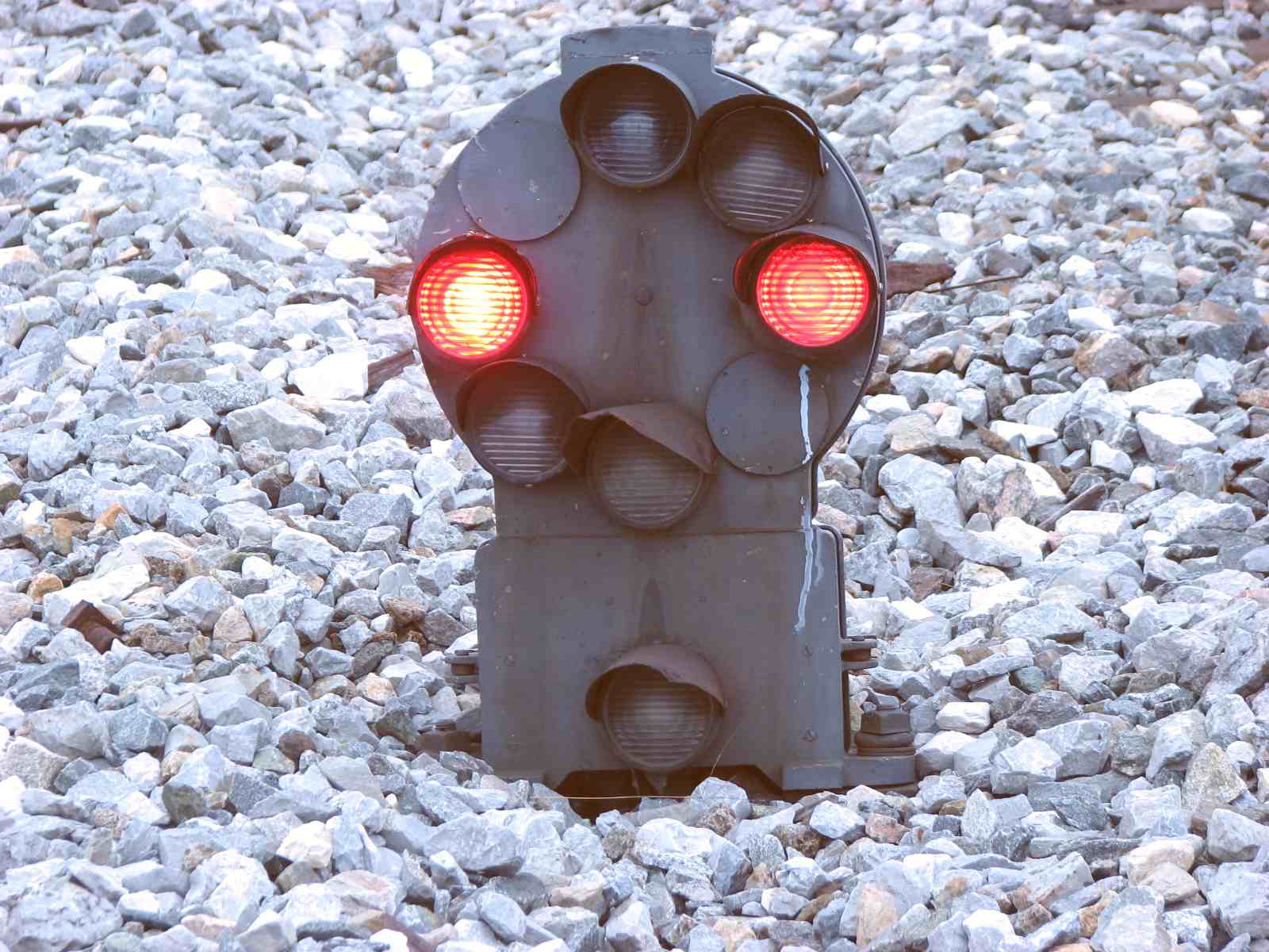
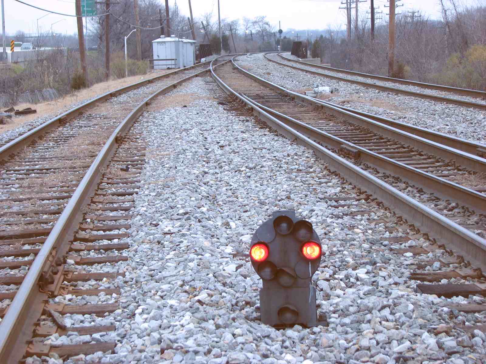
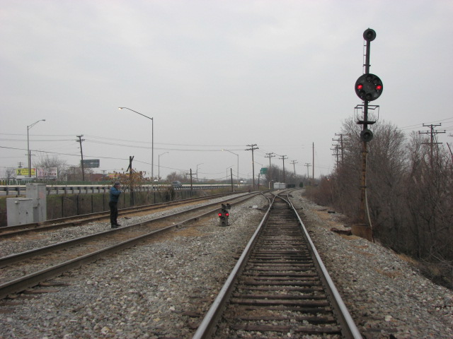
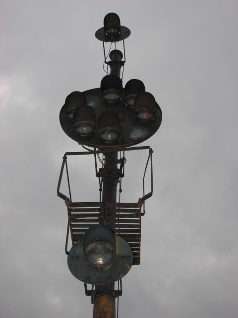
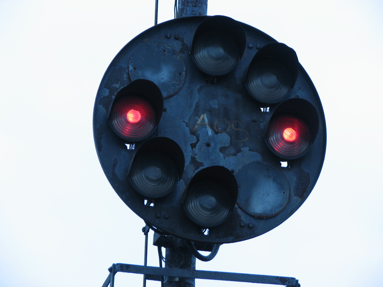
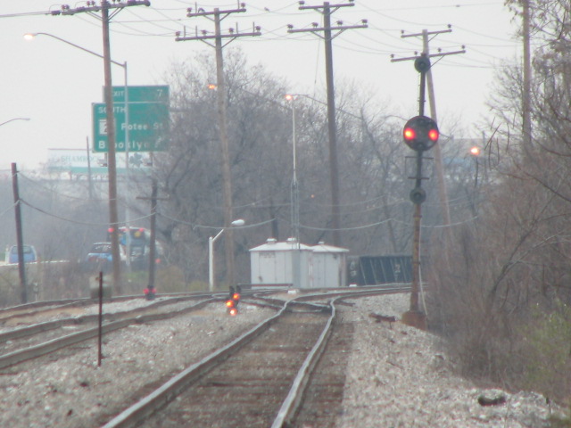
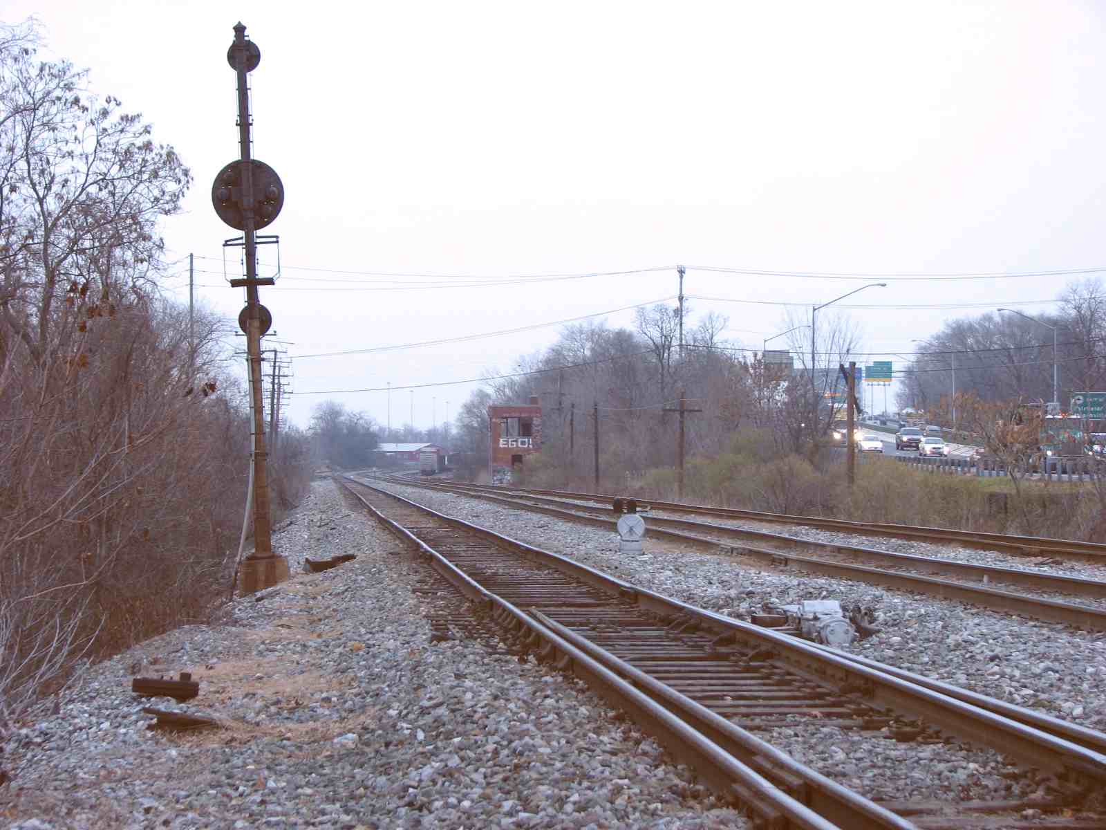
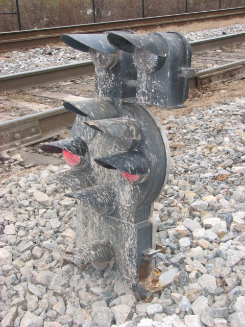
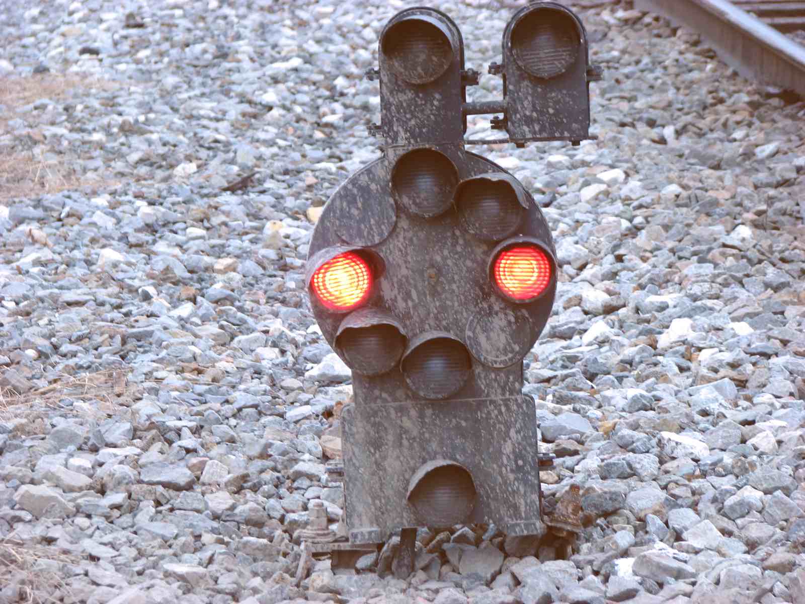
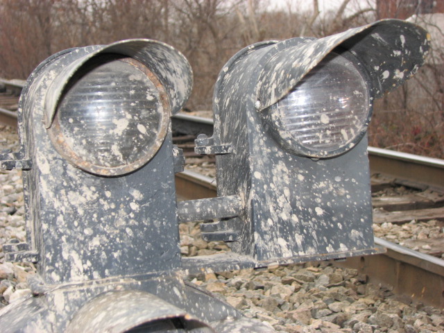
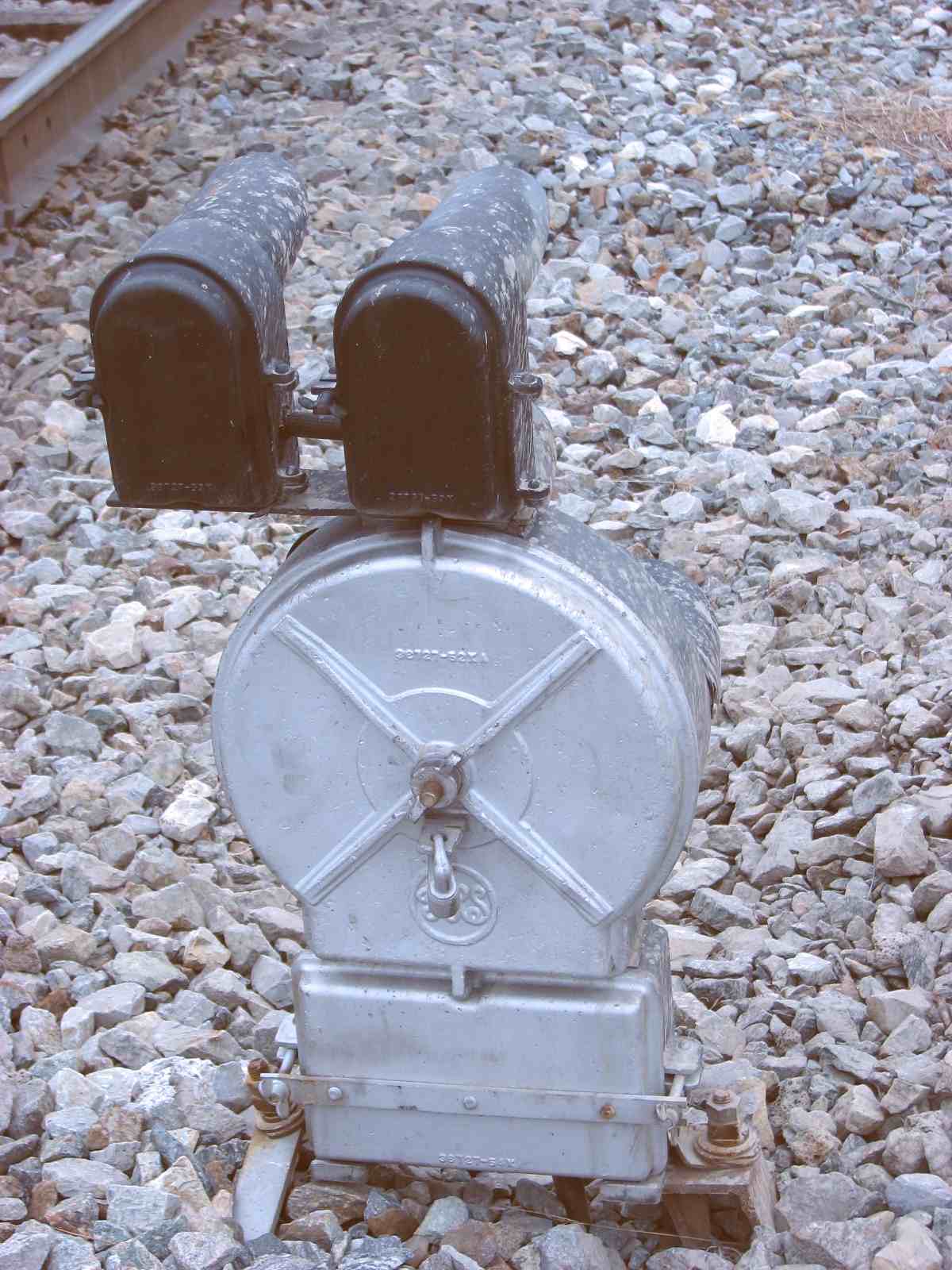
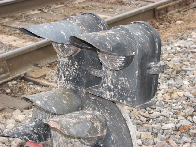
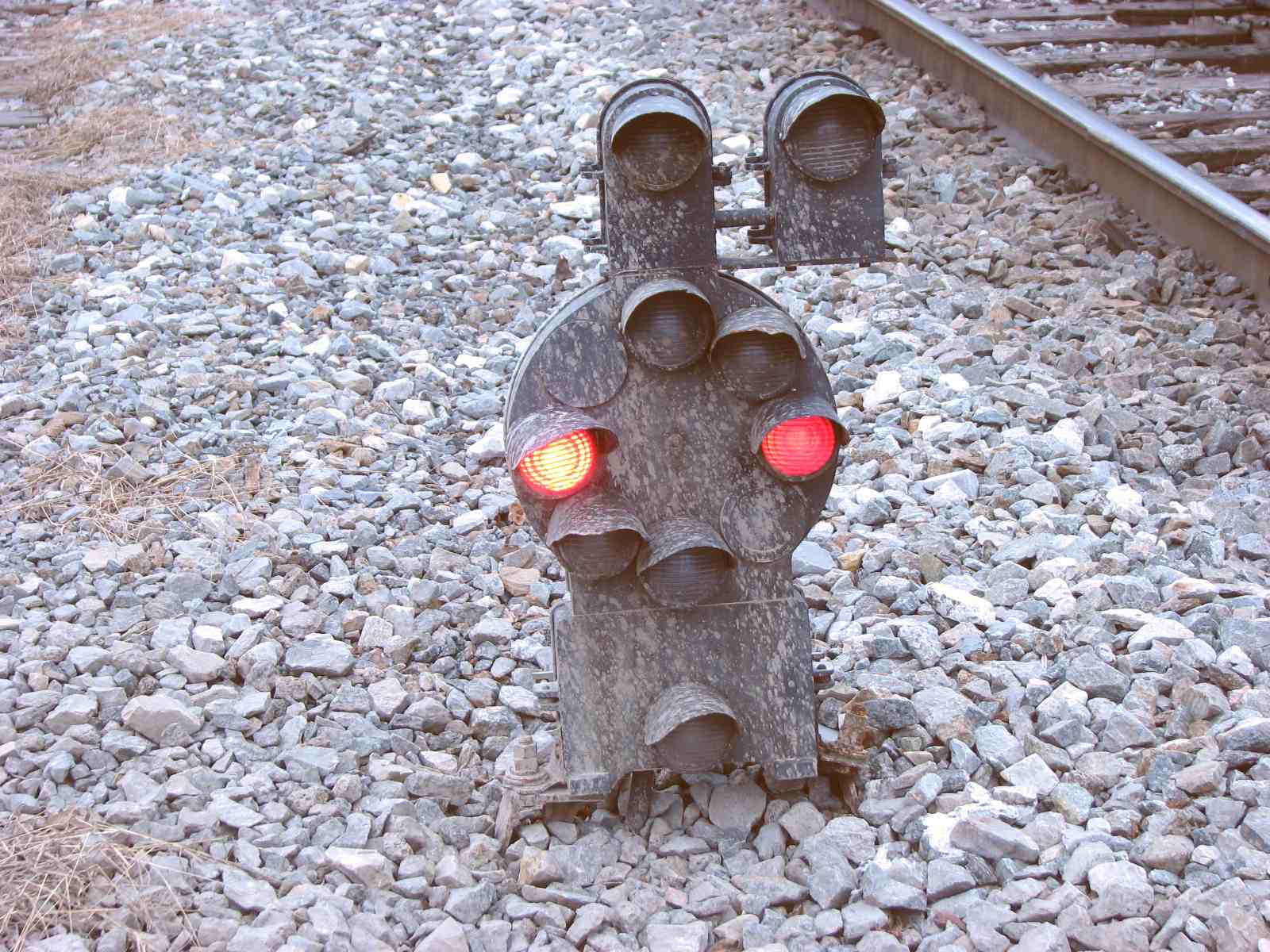
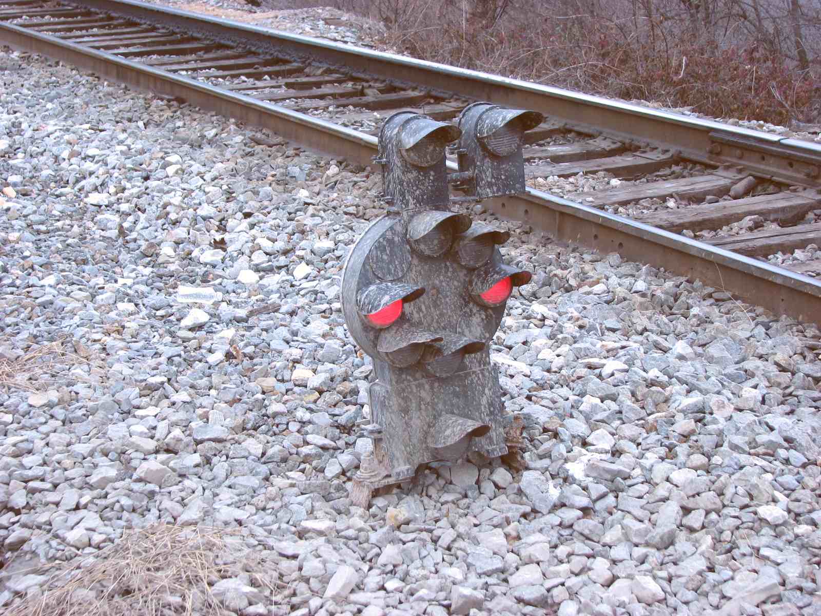
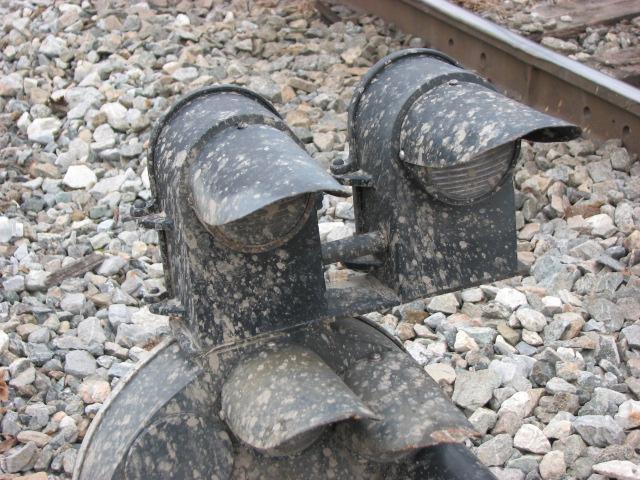
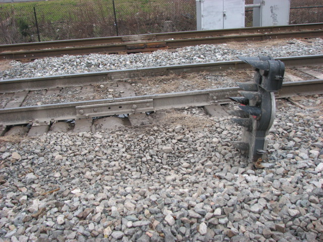
All of the pictures below were taken in 2007. They were replaced by colorlight signals in early 2013.
For the purposes of this discussion, SB signals are for trains heading into Curtiss Bay, NB signals are for those trains headed out towards Baltimore or DC.
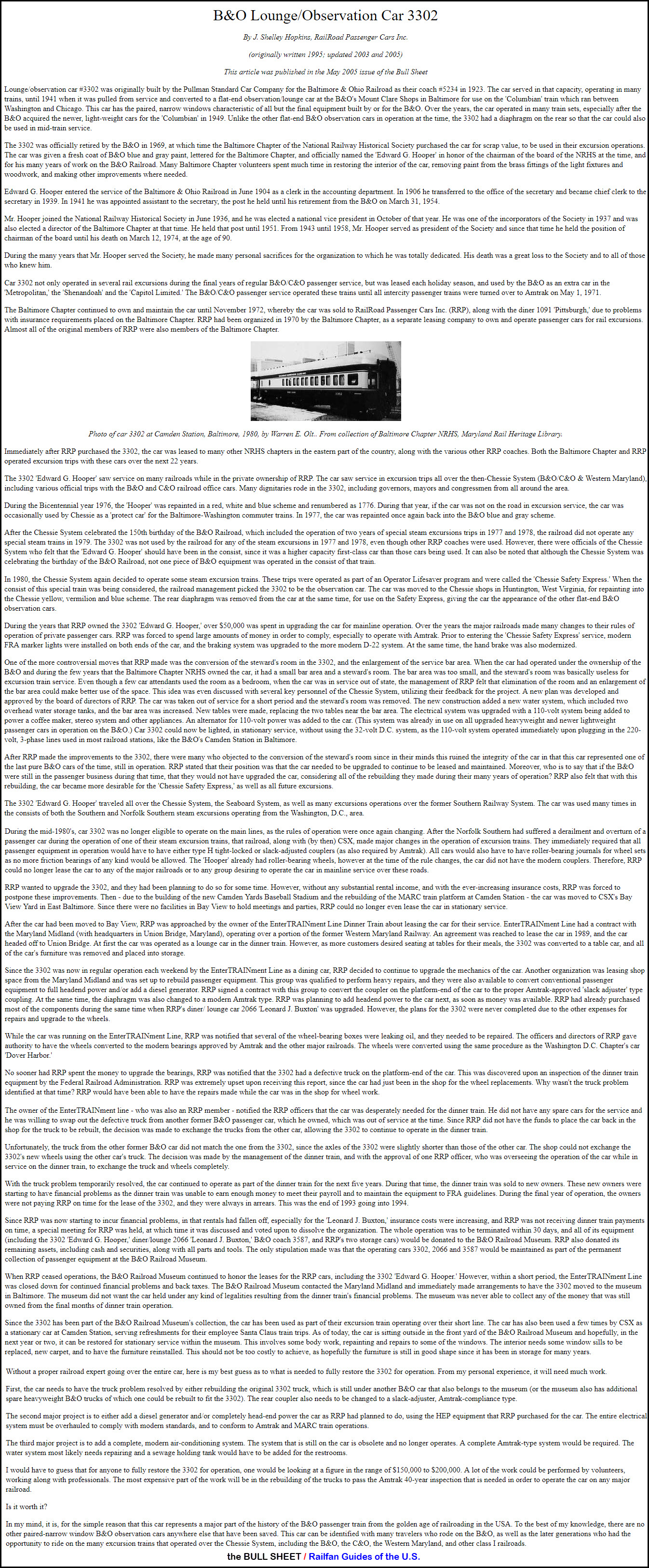
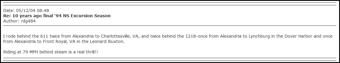
RRP was an organization that owned something like 12-15 old B&O passenger cars, and rented them out for excursions, to anyone that wanted to have one. They had a long
history going back to the early 70's, and they kept their equipment at Camden Station, where the current MARC Camden Station is now. In the very early days of RRP,
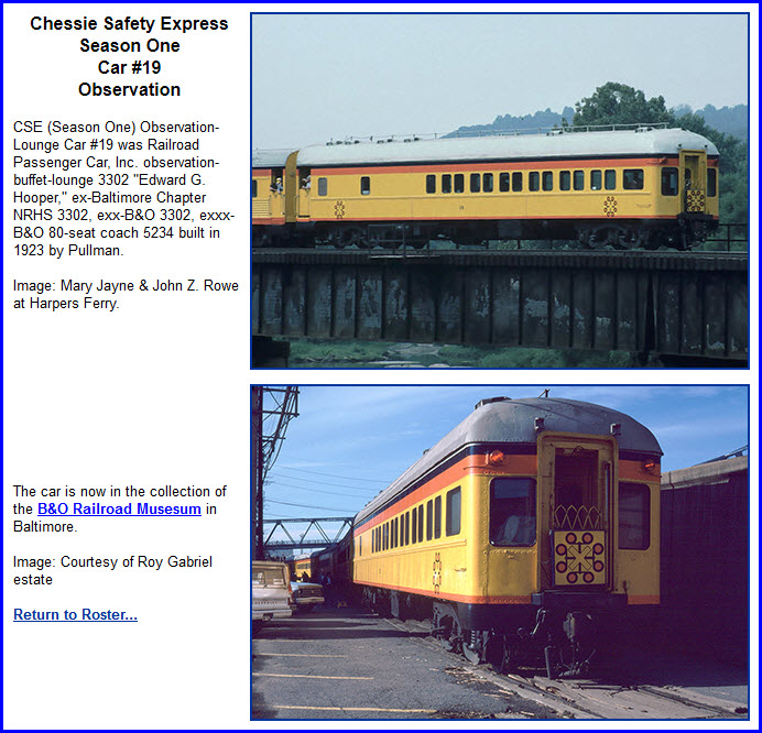
the B&O Budd cars would operate on the tracks right next to the RRP cars. Probably the most famous of their cars was #3302, the Hooper, named after Edward G.
Hooper, president of the NHRS. They also had a car dedicated to Mr. Leonard Buxton, one of the company's original members and founding fathers. For a history
of the Hooper, click on the thumbnail, as the print is too large to be presented here in it's full size..... it is a long read. The article, written by Shelly Hopkins
in 1995, was found here.
If you Google "the Hooper" or "Leonard Buxton", "there ain't much out
there"......


 Picture by Steve Corfman
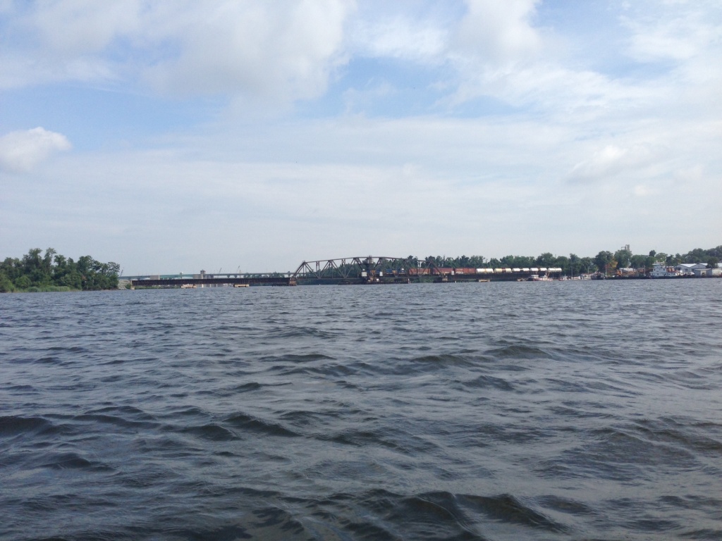 Picture by Steve Corfman
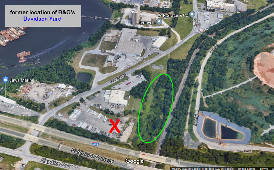

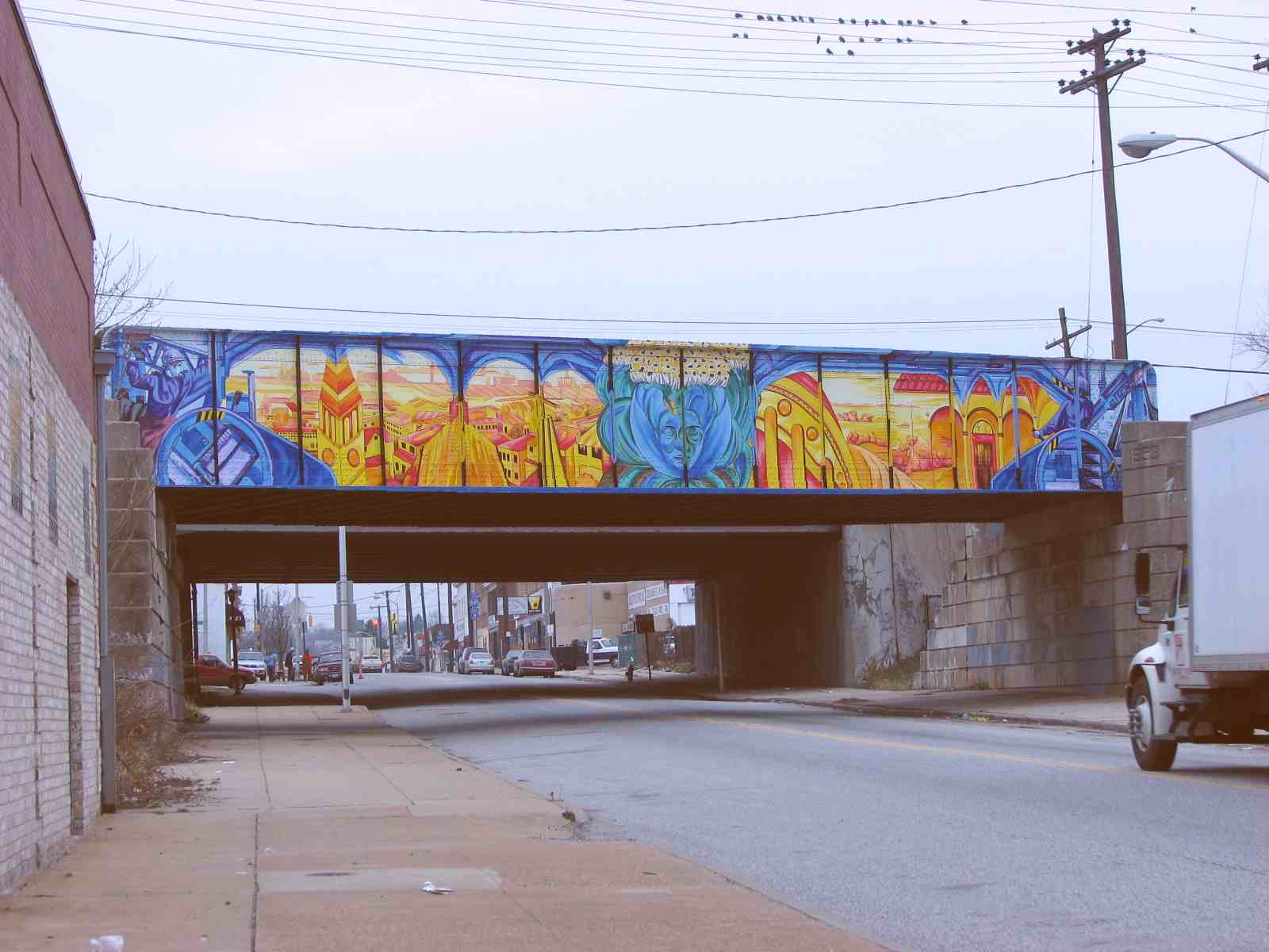 Artwork on the South Hanover St overpass
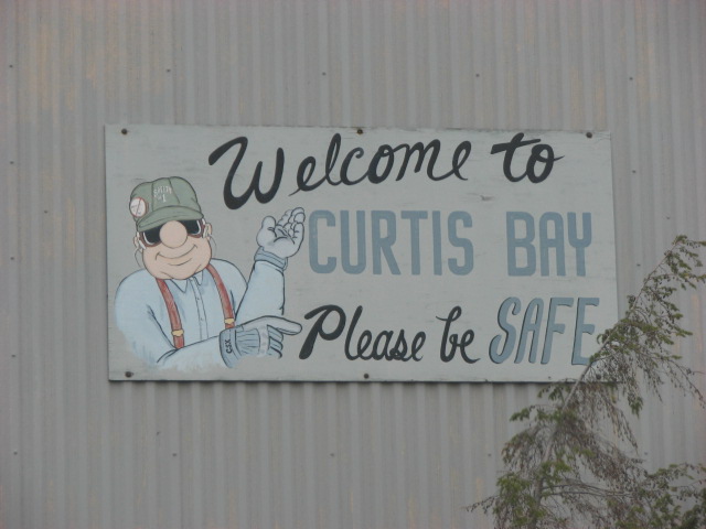
 Sign on the Potee Street overpass