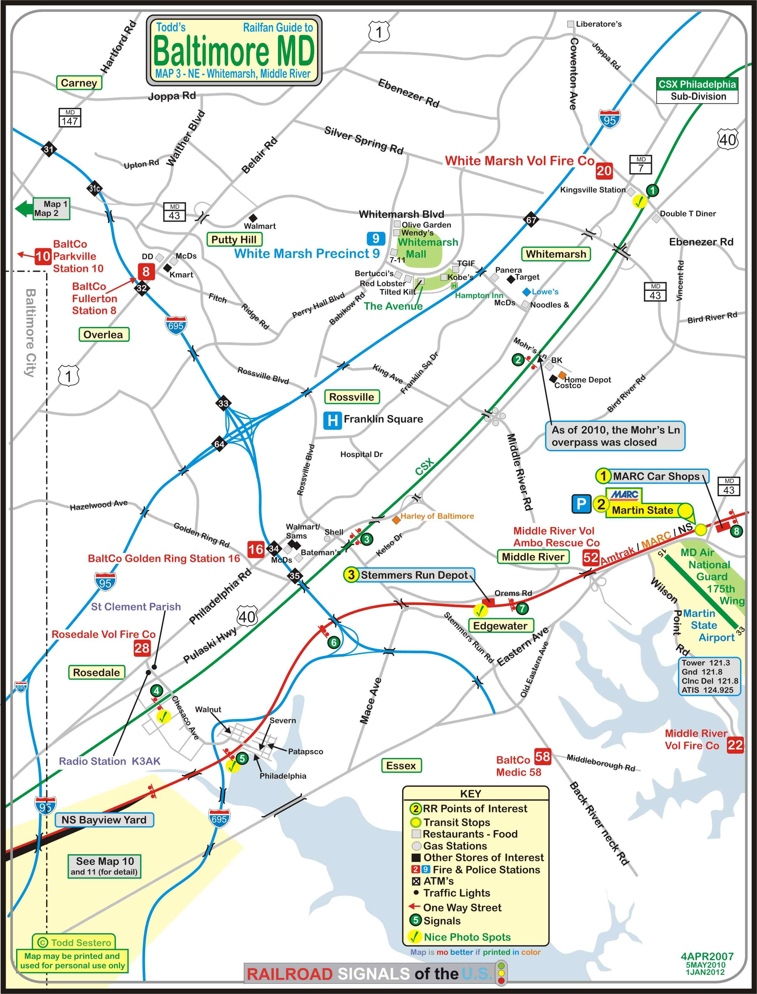
This map is available here as a PDF
RAILFAN GUIDES of the U.S.
Todd's Railfan Guide to
BALTIMORE MD
Baltimore County
Northeast of Baltimore City
Rosedale, Whitemarsh, Golden Ring, Essex, Middle River
In General
Map
Sights
Signals
Fire & Police
Floobydust
RAILFAN GUIDES HOME
RAILROAD SIGNALS HOME
Guide Home Maps Hiways Hotels Intro Railroad Sights Links Photos Busses Bio's
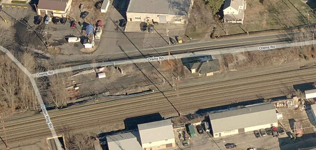
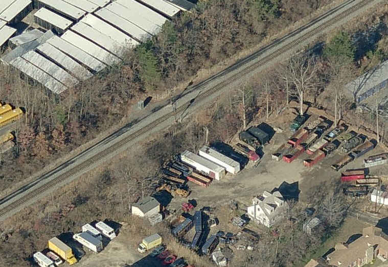
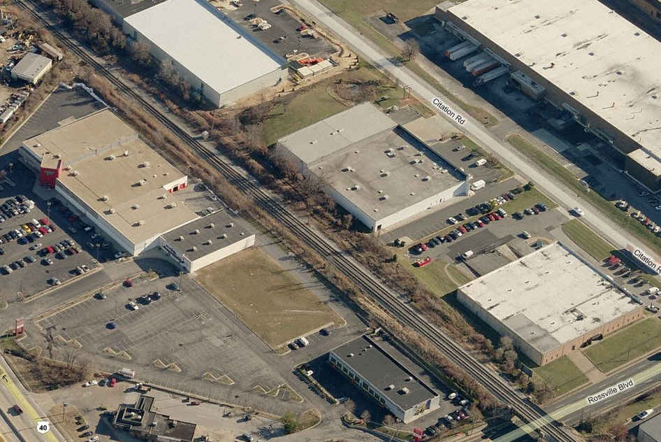
The map below shows the northeast corner of Baltimore and the adjacent area in Baltimore County. This area contains the two Bayview yards and the two lines headed "north" to Wilmington and Philadelphia. The CSX line still has all of it's CPL's in place, except for the ones that have been replaced just west of Bayview yard (and the wye next to Rt 40, at the railfan spot).
On this map, you will find the two main yards of Baltimore for both CSX and Norfolk Southern (Bayview and Bayview), the shared NEC line with Amtrak and NS, the MARC Commuter station at Martins, the old Pennsy depot at Stemmers Run, and a detail of the Highlandtown area (not that there's a whole lot there, it's mostly for historical reference.
There is no Light Rail or Metro in this section, nor any of the shortlines or any former Western Maryland trackage.
Note: even though the B&O's tracks went north and south, the B&O referred to the directions as East (north) and West (south). I use the north and south terms mostly, only because it is easier to reference to the maps.
Please Note: As of February 2011, the Mohrs Lane bridge over the CSX was closed.
It's difficult to get all of the little street names on the map without cluttering it up, so make sure you take along a good map of the Baltimore area. ADC puts out a good book map of the area, DeLorme's is so-so, I would go with ADC's. Thomas also has an excellent map book out on Baltimore, slightly more expensive tho. If you belong to AAA, they have a pretty good map, even tho they now put everything on one map (they used to have 3 or 4 for the area, and if you can find someone that wants to let loose with the set, GRAB IT!).
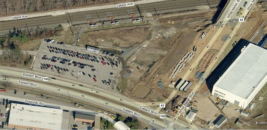
As far as food and other services go, Belair Road has a lot, the Whitemarsh Mall area has a lot, and the new Golden Ring center between RT 40 and Philadelphia Rd north of the Beltway has Sams, Walmart, and about half a dozen chow spots.
Color coding follows the keys on the map:
1
Yel/Grn are notable railroad attractions,
6
Blk/Grn is for signal locations
Most, if not all of the aerial pictures are from: http://www.bing.com/maps/
This map is available
here as a
PDF
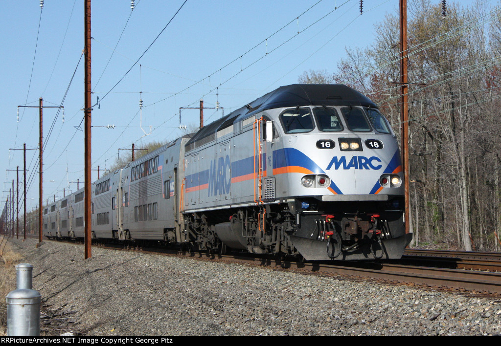
MARC Car Shops
MARC Martin State Station
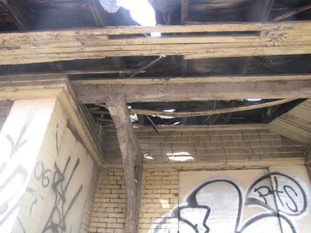
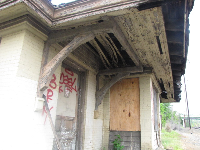
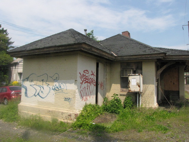
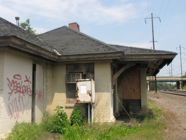
ex Pennsy Stemmers Run Station
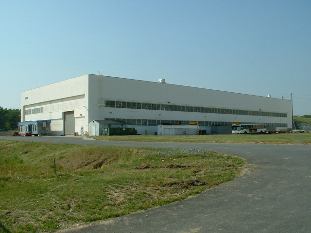
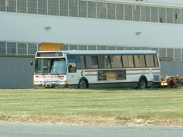
 Not much going on at the MARC carshops on this day.
A set of pictures taken on April 14th, 2011 by George L. Pitz.
George is one of the most active railfans in the Baltimore area and gets around!
He has a large number of excellent pictures available for viewing at:
http://p5b4702.rrpicturearchives.net/ ... Thanks to George for letting me
use his photos, and we look forward to more contributions from him.
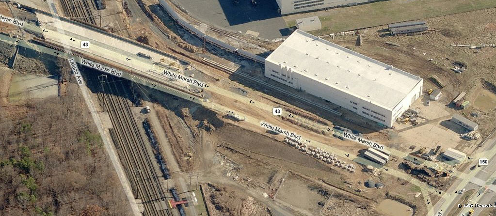
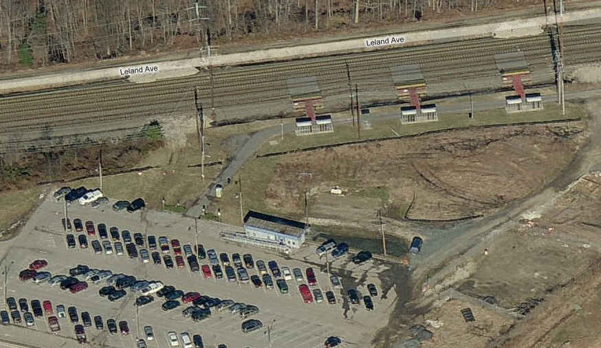
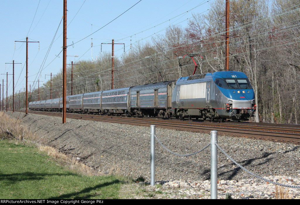
A couple of shots of the Martins MARC Station before 43 was completed a few years ago.
3 ex Pennsy Stemmers Run Station
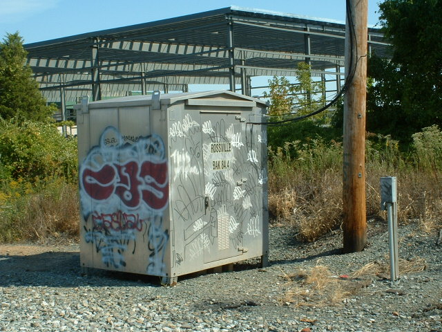
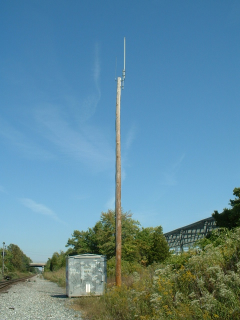
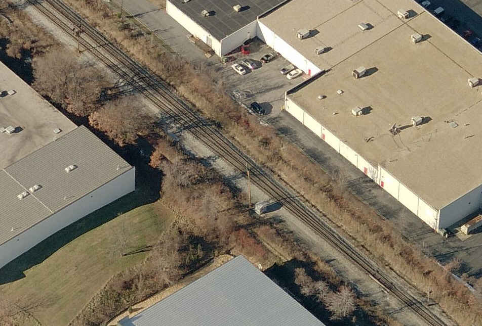
This depot is stuck away in a little travelled area of Baltimore County, and even few Baltimoreans know of it's existence. It's fairly easy to find off Rossville Blvd, and then Orems Rd. Thanks to Michael Watnoski for pointing out this station.
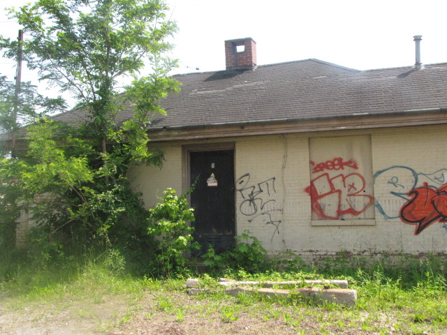


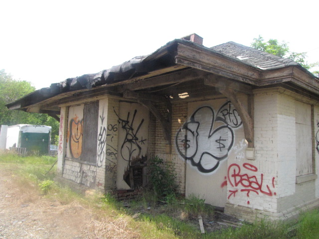
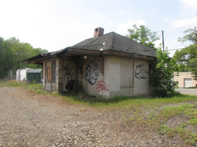
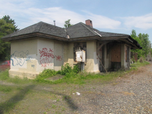

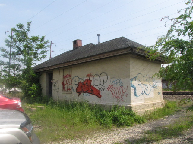
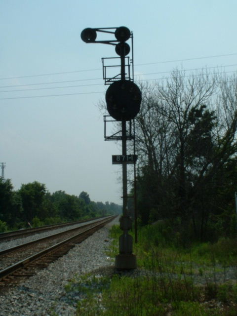
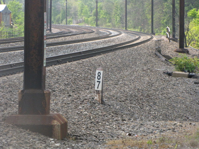 Mile Marker #87 sits near the station.

 A Norfolk Southern local that just came out of the Lockheed
Martin siding.
A Norfolk Southern local that just came out of the Lockheed
Martin siding.
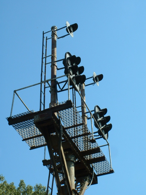
Signals
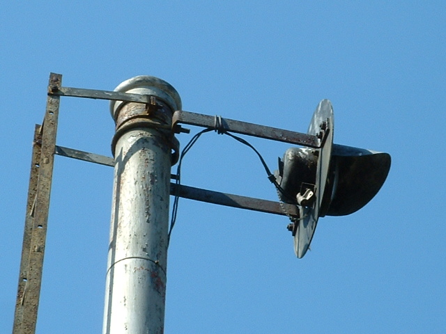
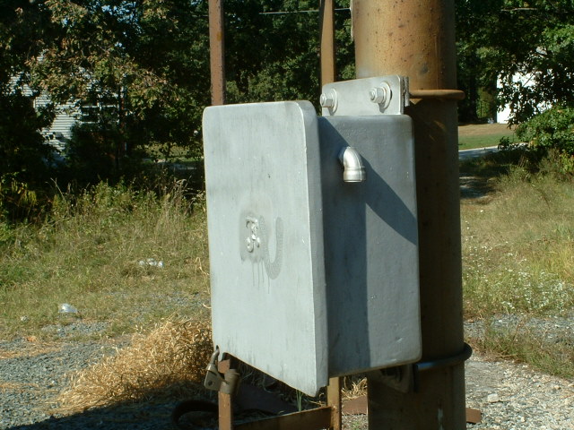
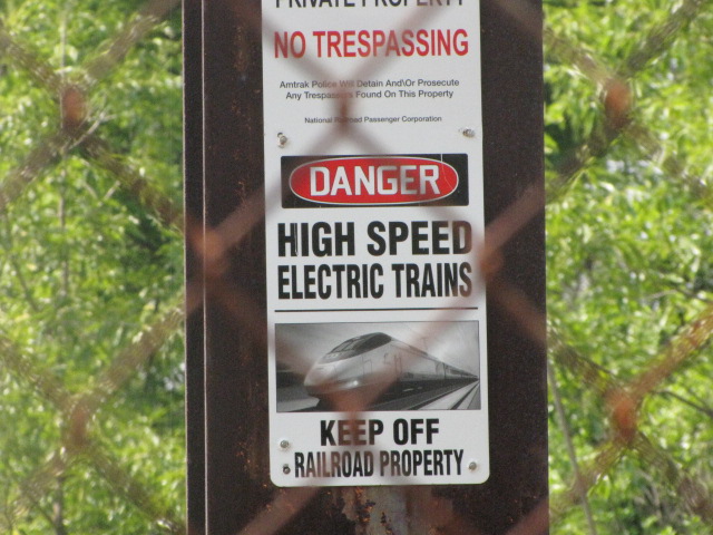
For now, B&O CPL's and Pennsy PL's are still around, altho the PL signals have been colorized by Amtrak and are usually called PCL's as opposed to CPL's.
CSX has been replacing the CPL's at a fairly aggressive pace...... the latest signals to disappear are the ones on both sides of HX tower in Halethorpe, and the signals at the west end of Mt Winans yard off the end of Gable Ave. But so far, the signals on the NE side of town on the Philadelphia line are intact.
Over on the Amtrak side, most of the old Pennsy PL signals are still around, at least on this map. The only place I have seen change is up in Havre de Grace, where they have installed "tri-light" LED signals. I spoke with some signal maintainers back in early 2011, and they said Amtrak is trying to do away with intermediate signals, making picture taking much less interesting :-(
-- CSX Signals --
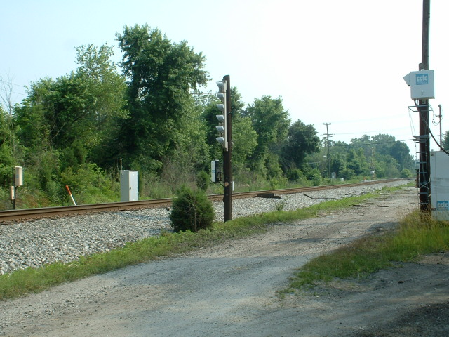
1 Ebenezer Road - Grade Crossing
Besides being a good spot for both SB and NB freights, there is a set of intermediate signals just north of the crossing, and equipment detectors here. The signals are on the B&O drawings as WHITEMARSH, and the EB signal is 804, the WB is 803. Next signal set north of here is LORELEY, and south is POPLAR.
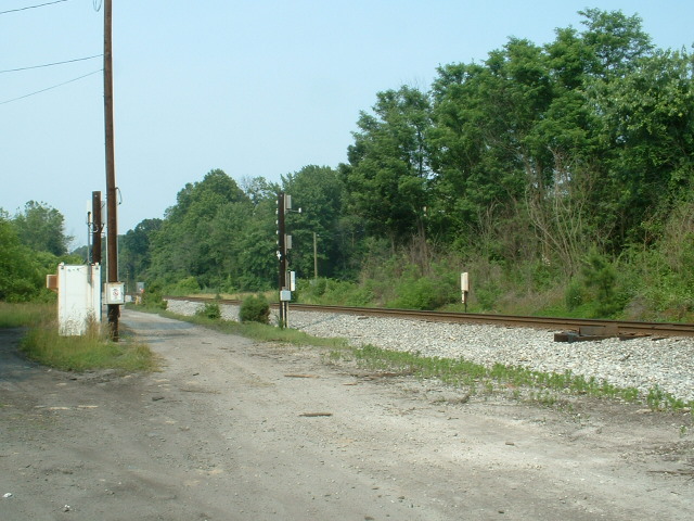


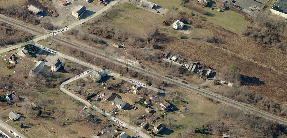
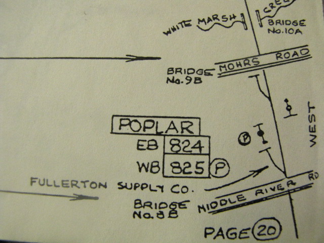
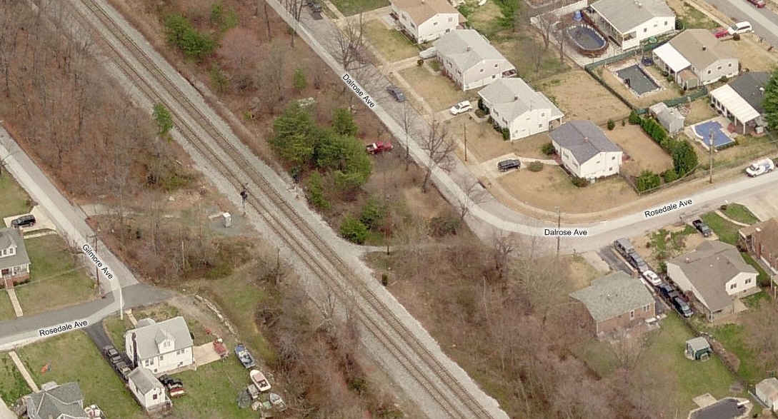
2 South of Mohrs Lane
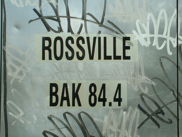
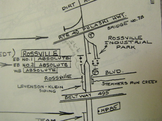
This set of signals is on the B&O maps as POPLAR. The EB signal is 824, westbound is 825. The next set of signals east is WHITEMARSH. The next set of signals west (towards Baltimore) is at ROSSVILLE.
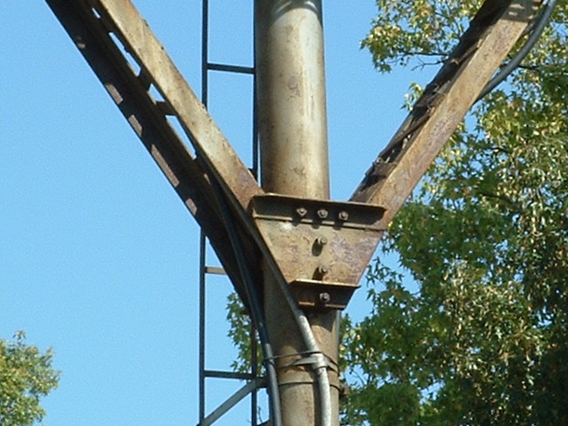
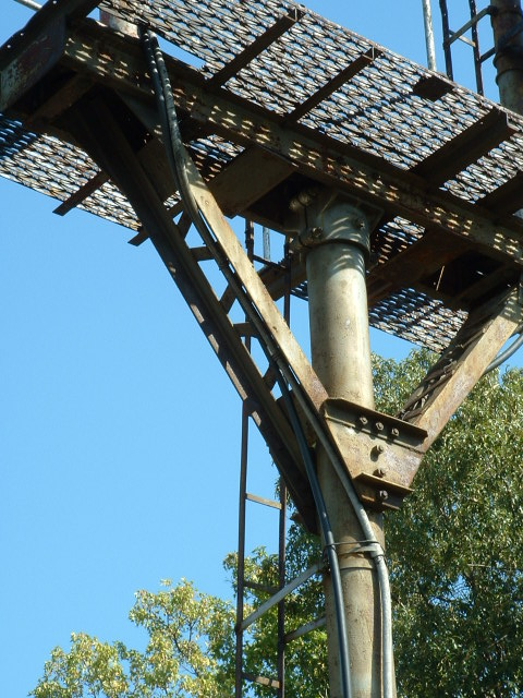
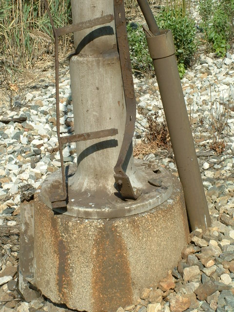
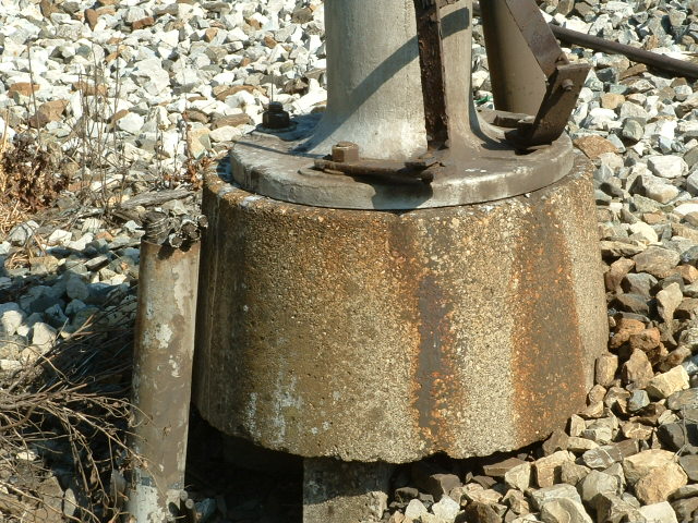
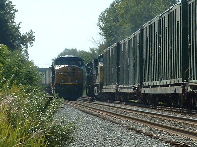
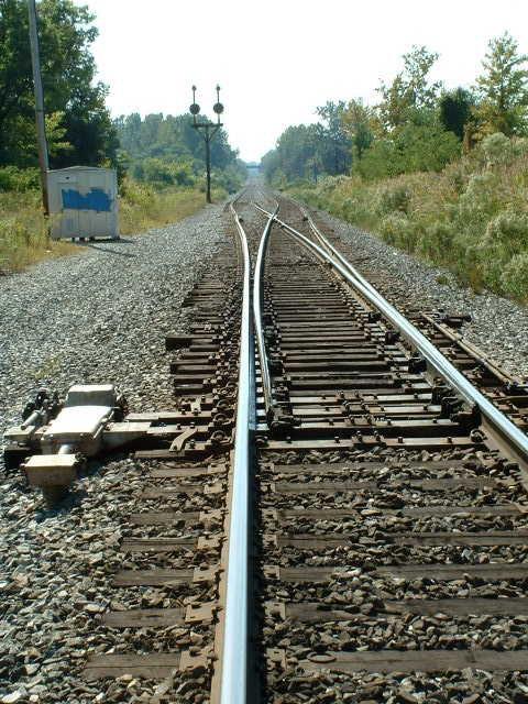
3 Interlocking at ROSSVILLE
This is where the two tracks coming out of Bayview converge into one for it's trip north (or east if you would) to Wilmington and Philadelphia. The signals here are absolute.
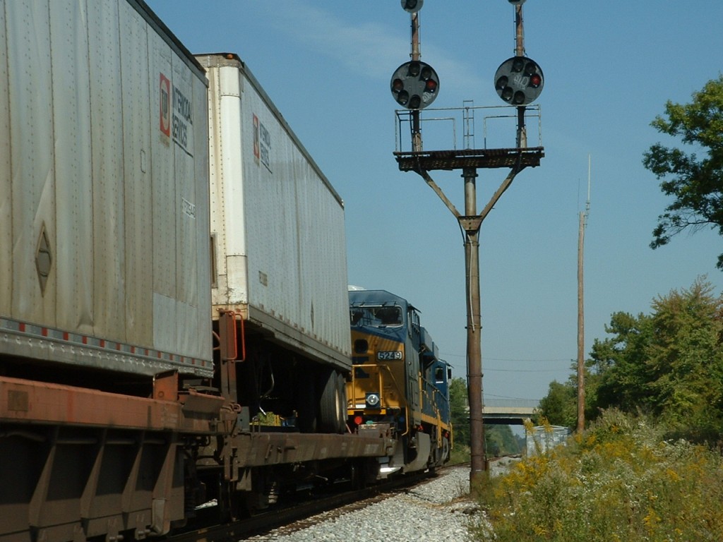

The two "NB" signals.

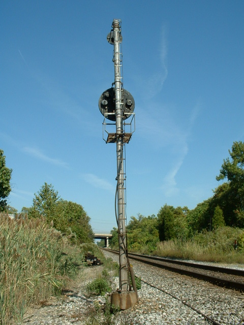
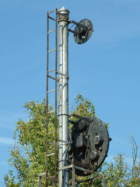
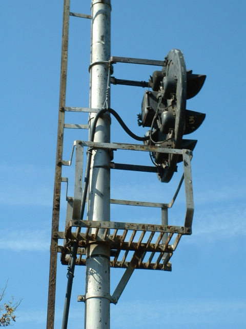
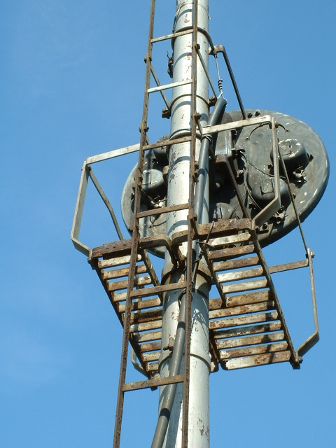


The single "SB" signal.
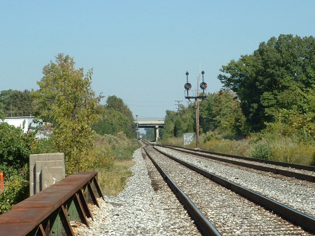
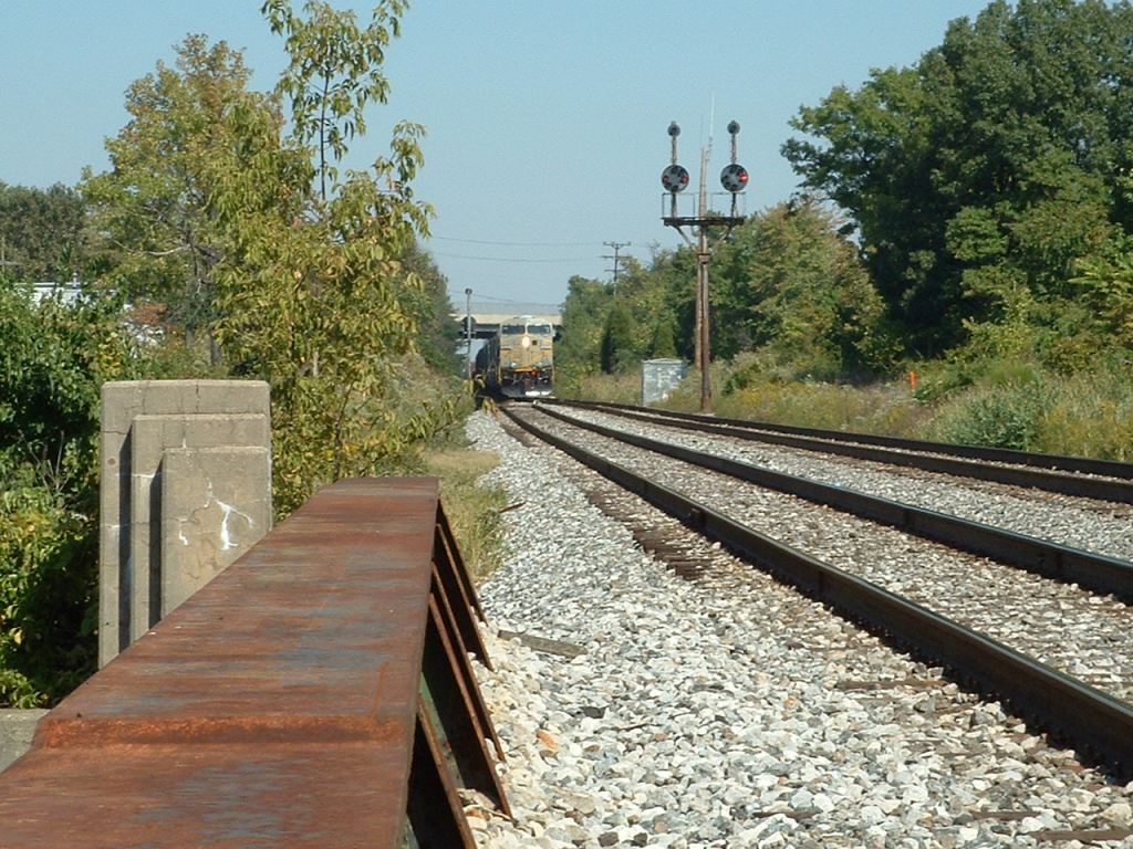
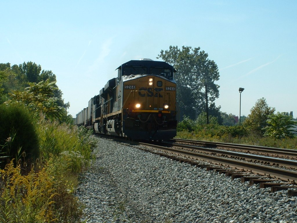
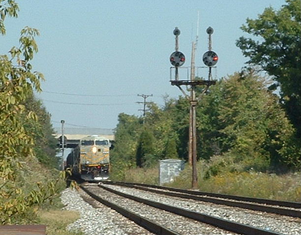 A SB CSX freight passing the signals at
Rosedale.
A SB CSX freight passing the signals at
Rosedale.
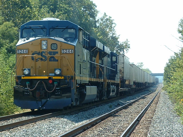
 More trains! And we were only here for about 30
minutes....
More trains! And we were only here for about 30
minutes....
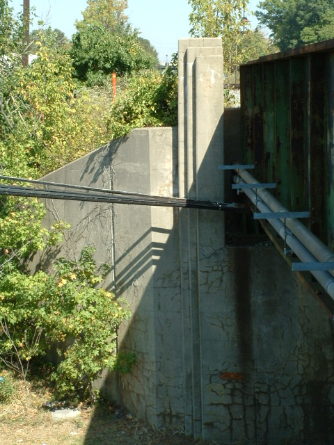
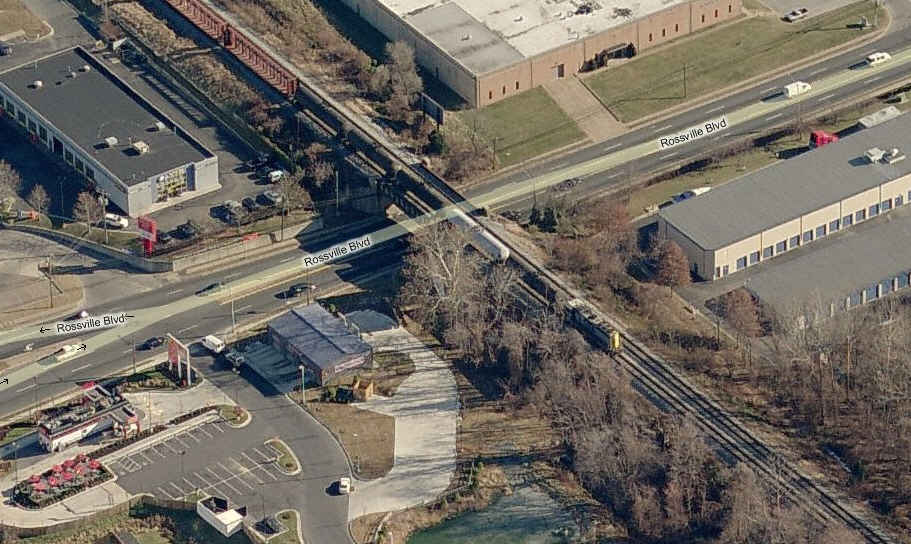
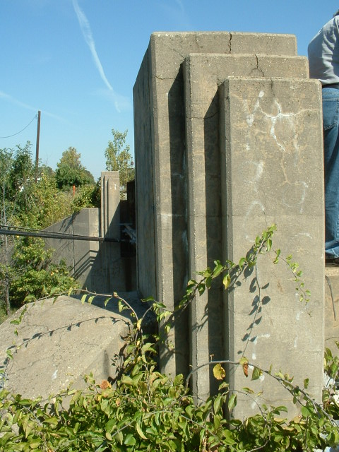 A Very cool art deco style bridge takes the B&O over Rossville
Blvd.
A Very cool art deco style bridge takes the B&O over Rossville
Blvd.
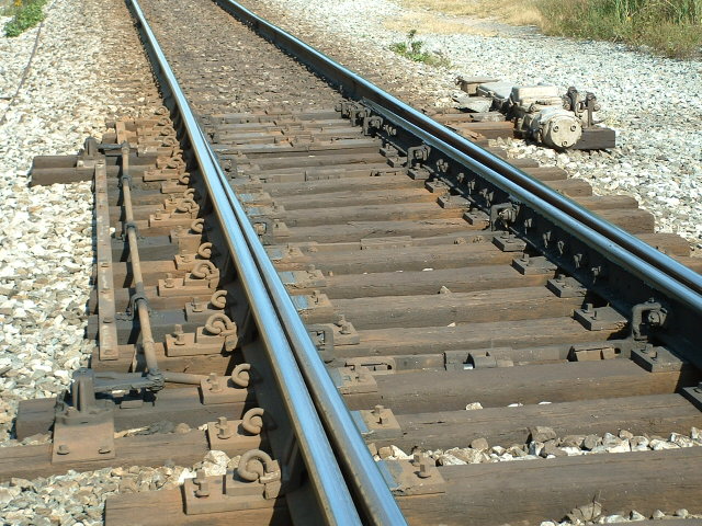
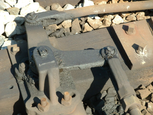
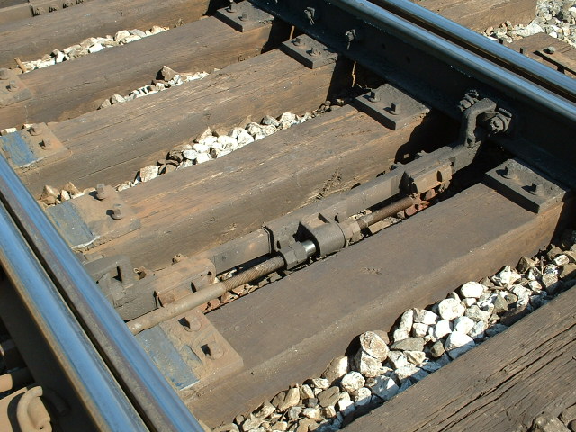
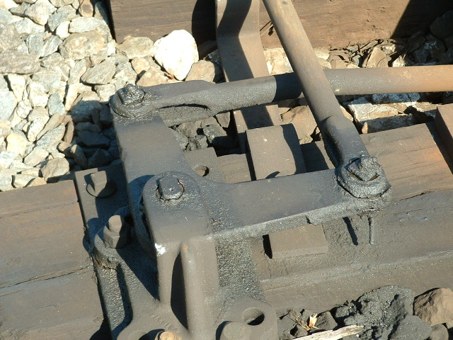
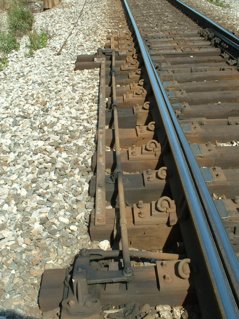
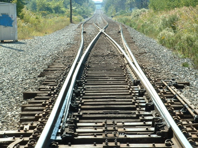
 Details of the switch.
 The Rossville interlocking, the freight is heading into
Baltimore.
The Rossville interlocking, the freight is heading into
Baltimore.
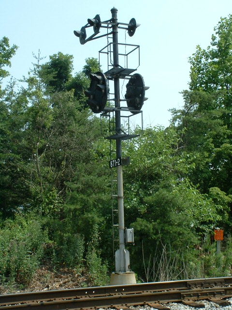
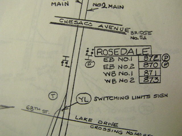
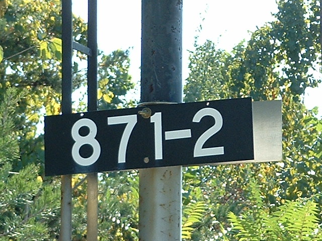
4 Off Chesaco
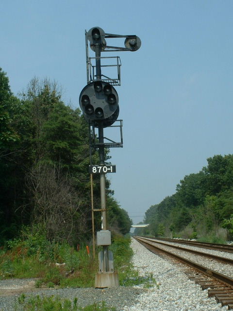
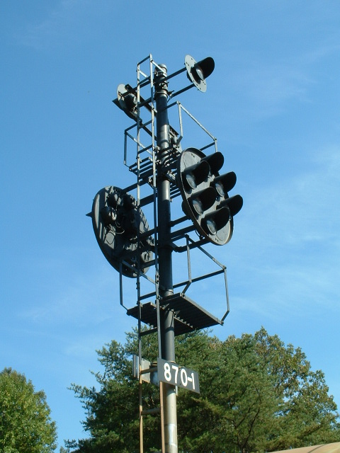
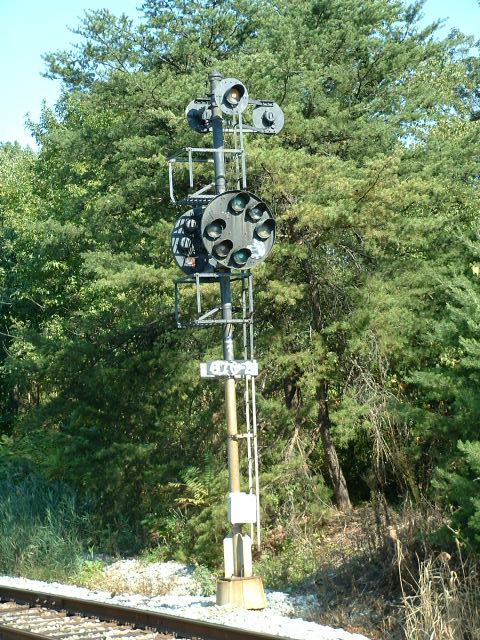
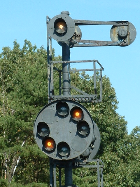
This set of signals is on the B&O maps as ROSEDALE. In looking at the map, these signals were apparently originally bracket mounted. The west track is main #1, the east track is main #2. EB #1 is signal 872. EB #2 is 870.... WB #1 is 871, and WB #2 is 873. The next set of signals north (east in B&O parlance) of here is ROSSVILLE. The next set of signals south (west) of here is on the other side of Bayview Yard, at BA TOWER, right off of Pulaski Hwy.


Todds Lane
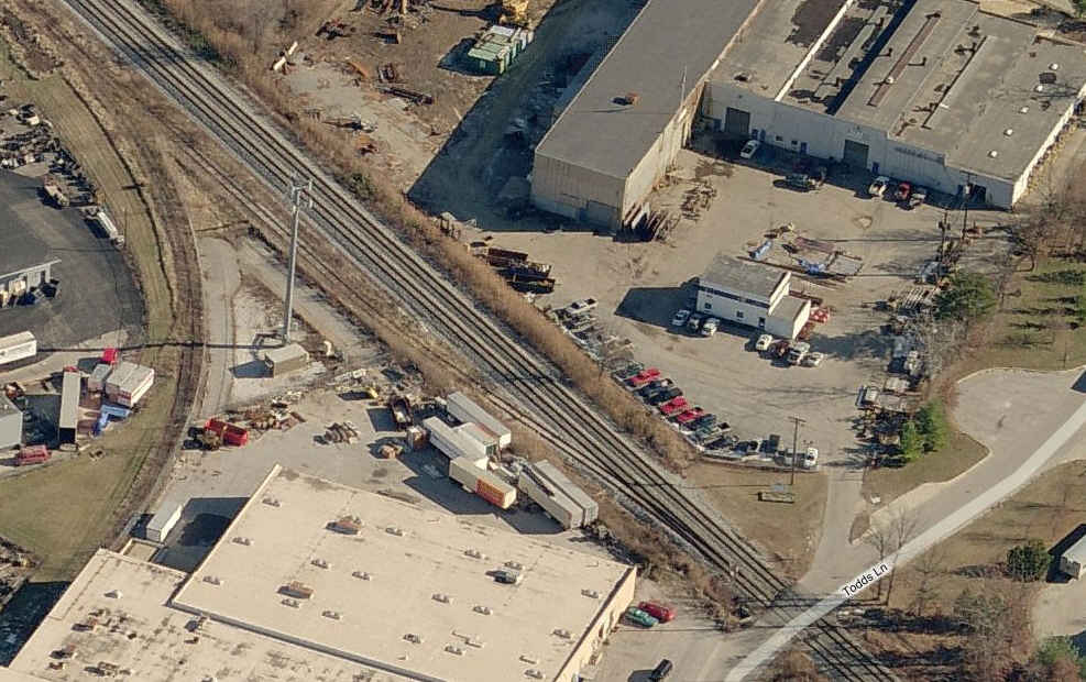
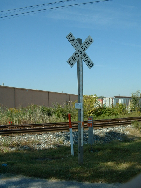
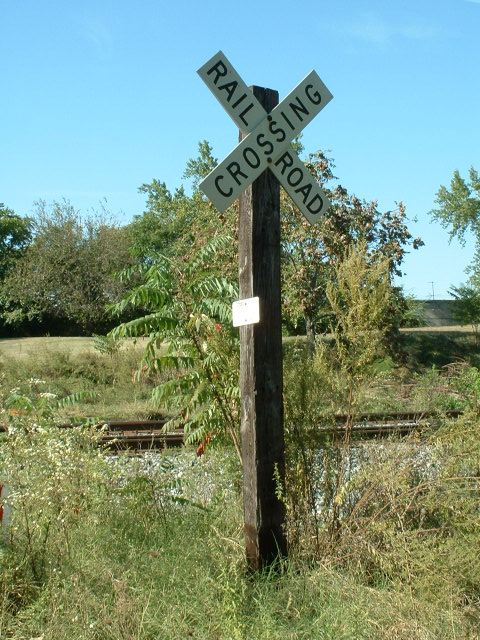
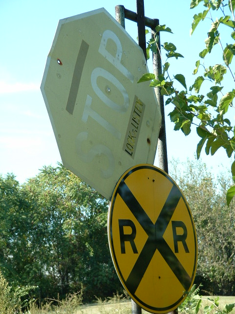
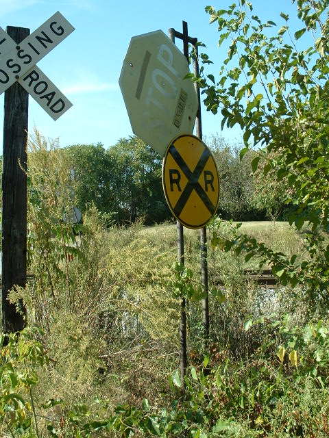
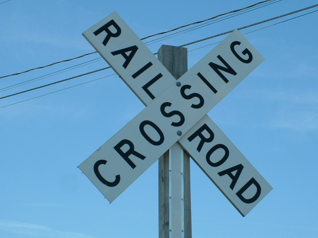
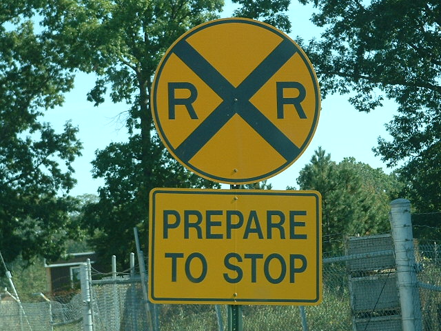
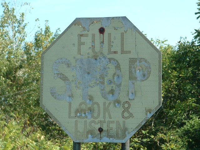
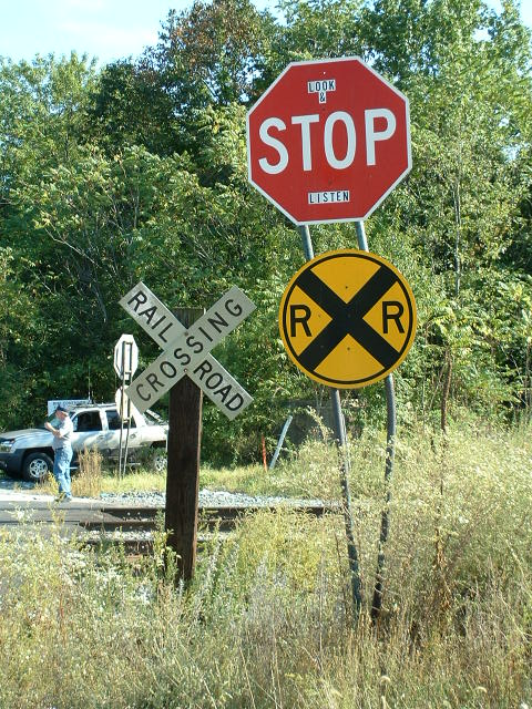
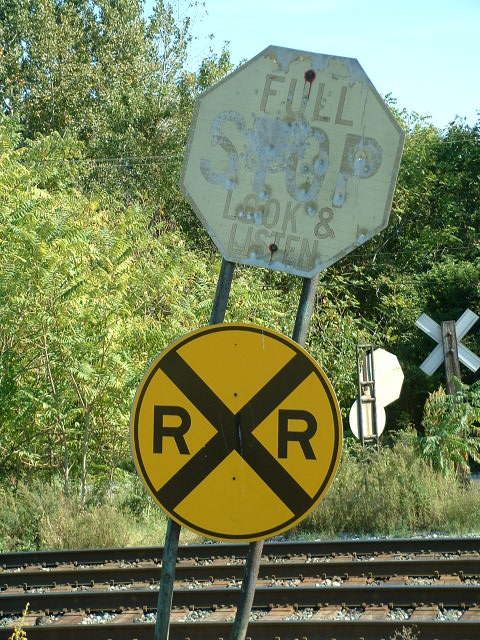
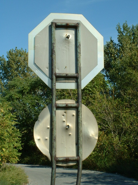
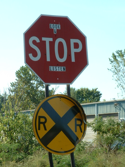
Just north of Chesaco is Todds Lane, with some interesting crossing signs.
-- Amtrak Signals --
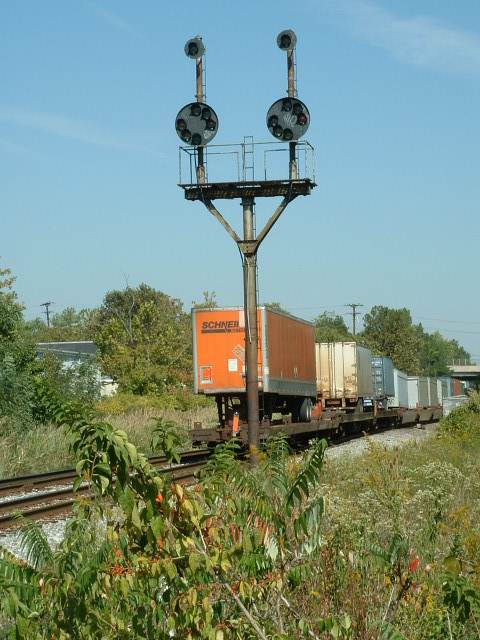
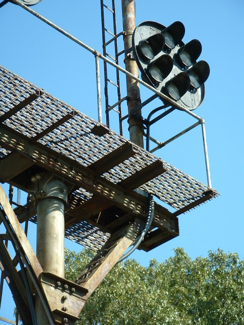
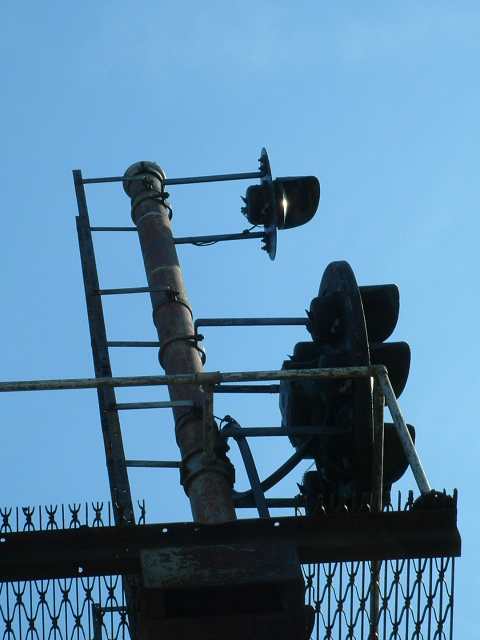
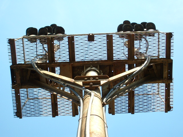
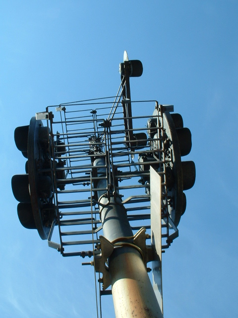
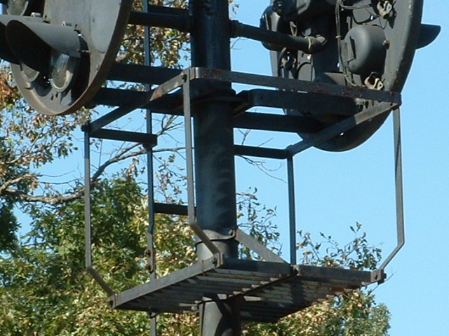
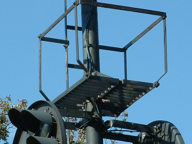
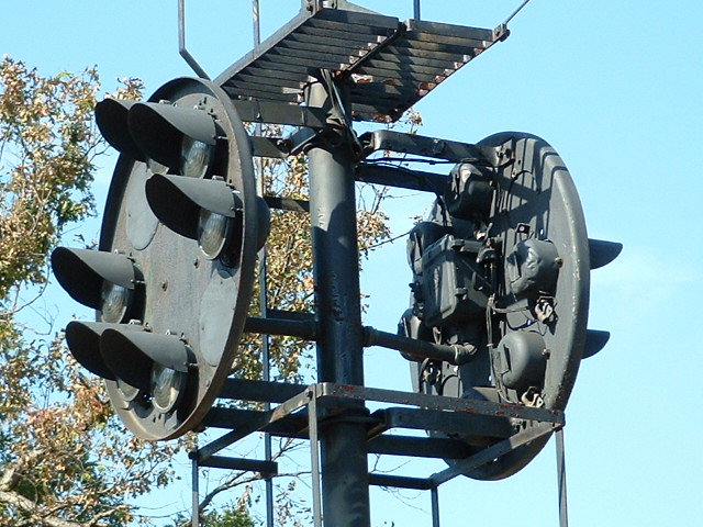
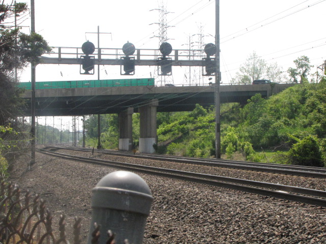
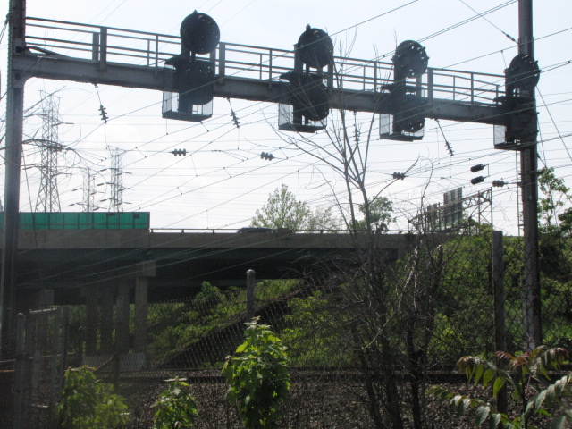
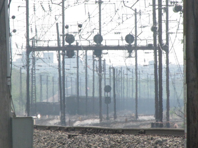
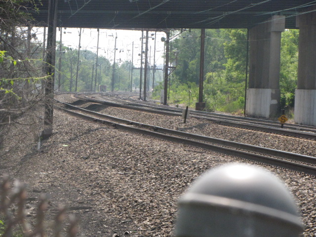
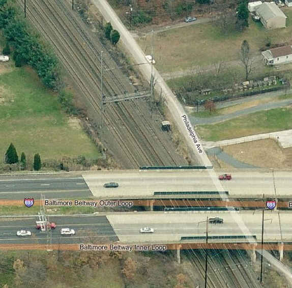
5 NEC signals and Interlocking under the Beltway Extension - Philadelphia Ave.
There are two sets of signal bridges, one on the north side of the Beltway, and one on the south side.
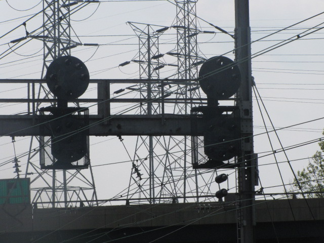
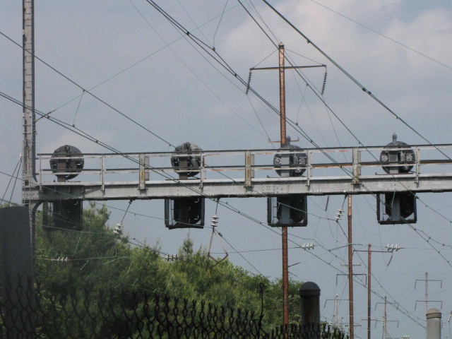

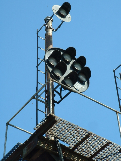
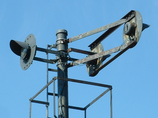
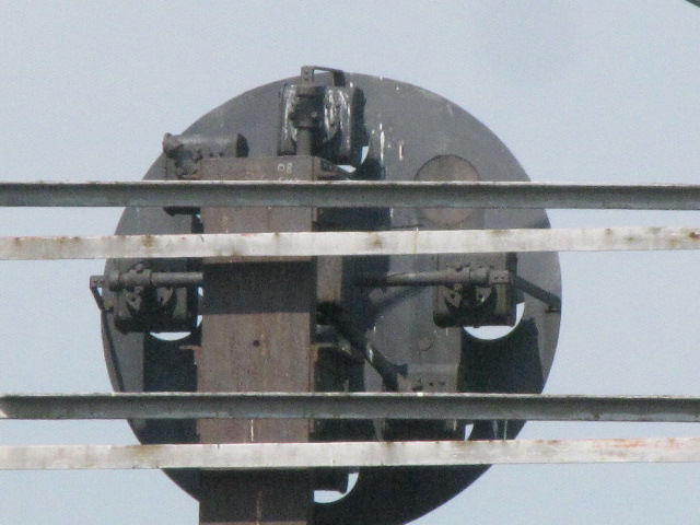 One of the few original Pennsy PL-5 signals remaining at this
location.
One of the few original Pennsy PL-5 signals remaining at this
location.
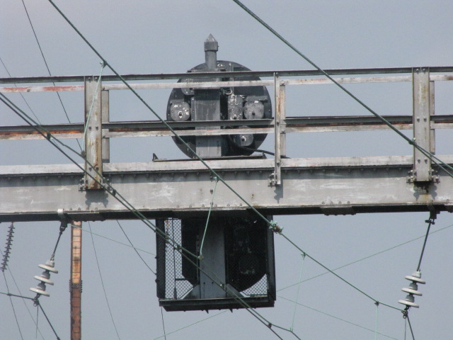
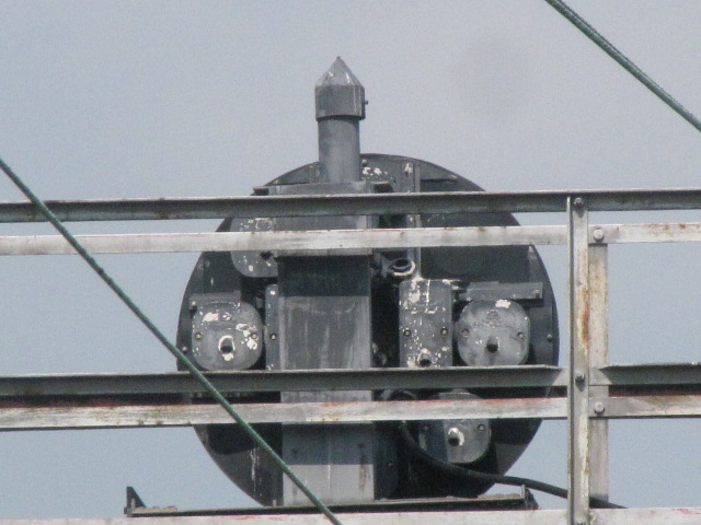
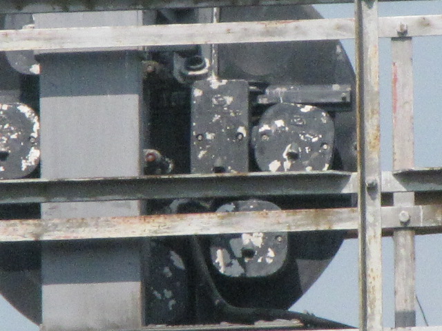
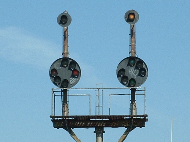
 Some of the US&S PL-3 heads have been replaced by Safetran
signals.
Some of the US&S PL-3 heads have been replaced by Safetran
signals.
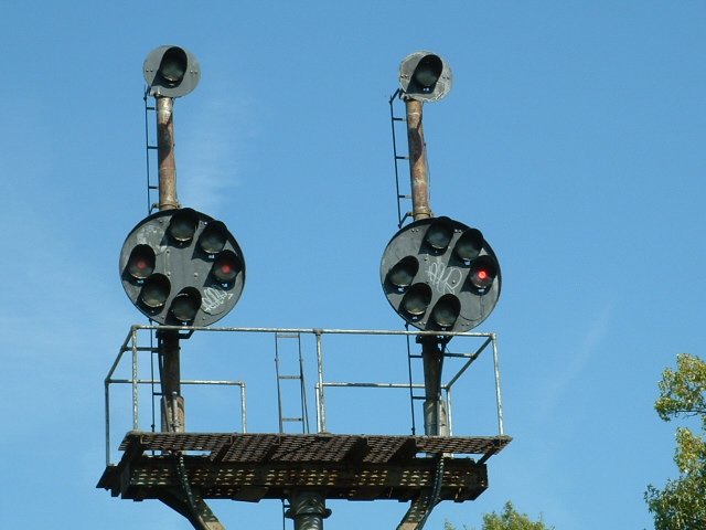
 Looking south towards the NB set of signals.

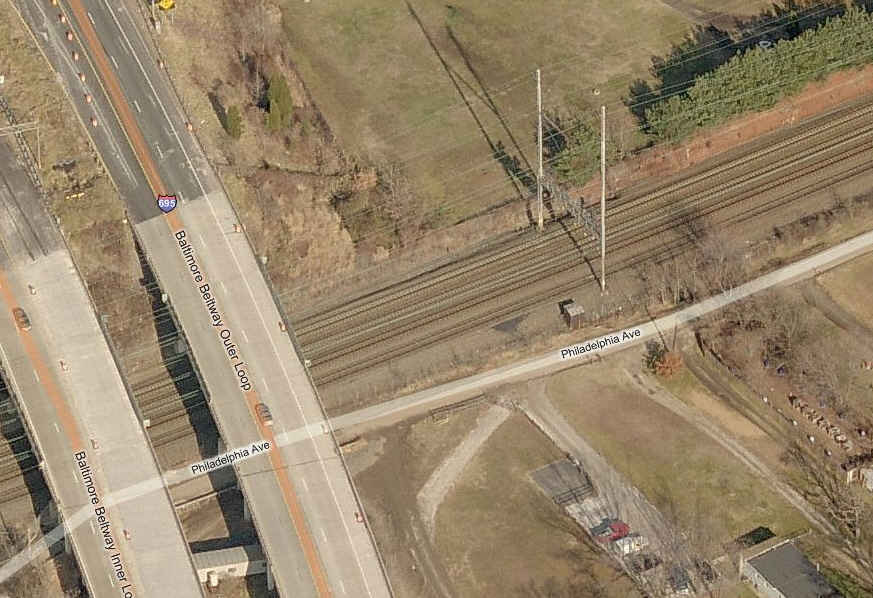
6 NEC signals under 695.

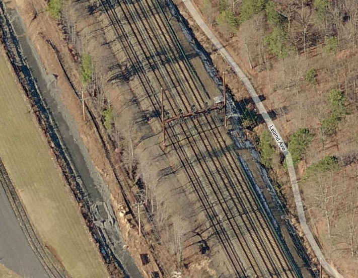
7 NEC signals along Orems Ave.

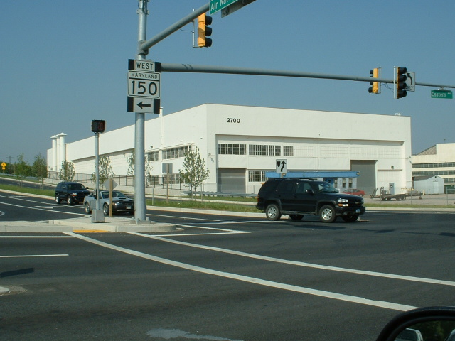
8 NEC signals adjacent to MD 43.
 The signals here are on the north side of MD 43.

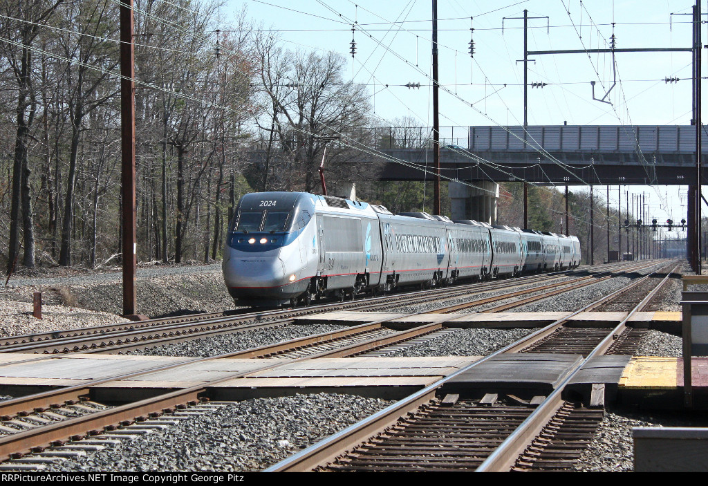
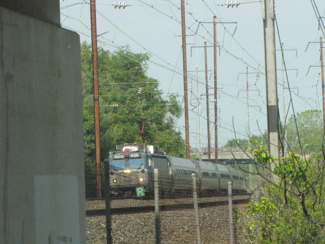
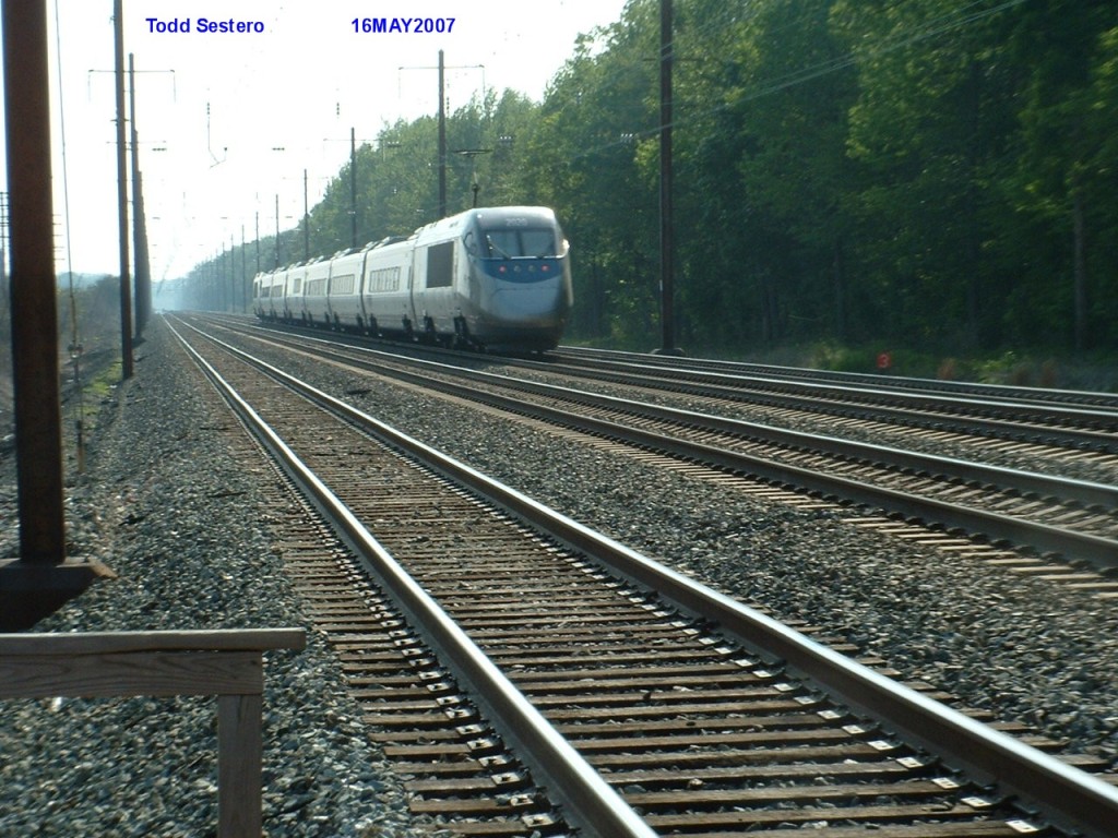 A SB Acela passing the Martin State Airport
station.
A SB Acela passing the Martin State Airport
station.
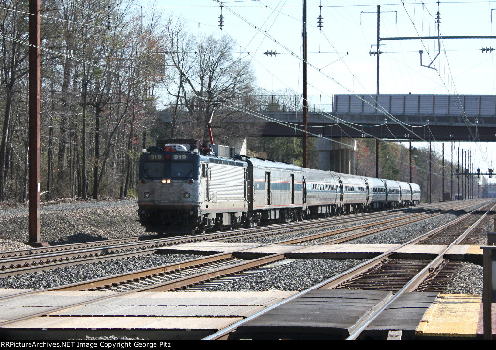
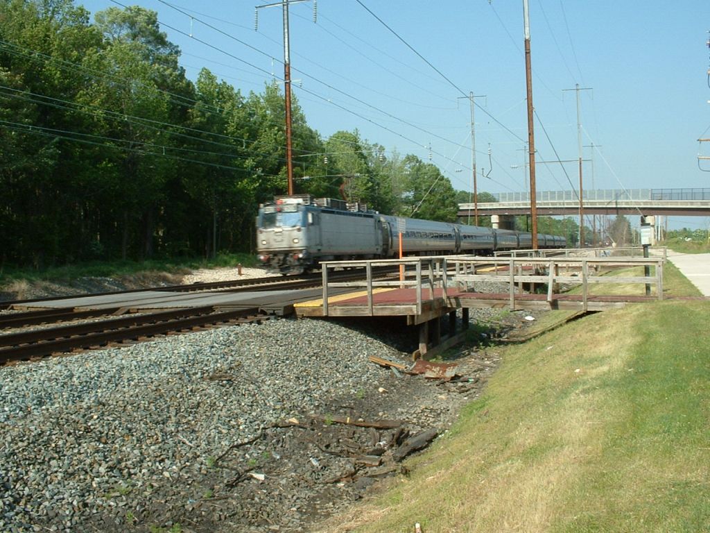 A SB Amtrak AEM-7 passing Martin's.
Floobydust
(Other Misc Stuff)
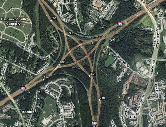
Also on this map...... Baltimore used to be one of only two
cities that had this type of interchange in the country. Now, with the
re-building of the interchange completed (2012), it is sadly gone :-( The problem
with it, was that drivers had to get to the left, in the high speed / fast lane,
in order to exit the highway.... now, all of the exit ramps are to the right,
for going both ways on the diverging highway.
The official name for this type of interchange is "diverging windmill", but is
AKA a "knotted" interchange. Google knotted interchange for some
interesting reading!
2010-0514, 2005-1002,
New 4MAY2007....
Last Updated: 10/02/2013