RAILFAN GUIDES of the U.S.
Todd's Railfan
Guide to
BALTIMORE MD
the
Northwest Suburbs of Baltimore County
Pikesville, Garrison, Owings Mills, Reisterstown
In General
Map
Sights
Station by Station
Fire & Police
RAILFAN GUIDES HOME
RAILROAD SIGNALS HOME
Guide Home Maps Hiways Hotels Intro Railroad Sights Links Photos Busses Bio's
The map below covers the northwest suburbs of Baltimore in Baltimore County... Pikesville, Owings Mills, and on up to Reisterstown.
A number of interesting things are on this map for the rail and transit fan.
CSX uses the former Western Maryland mainline running up to Hanover PA. It connects with the eastern terminus of the Maryland Midland RR in Glyndon.
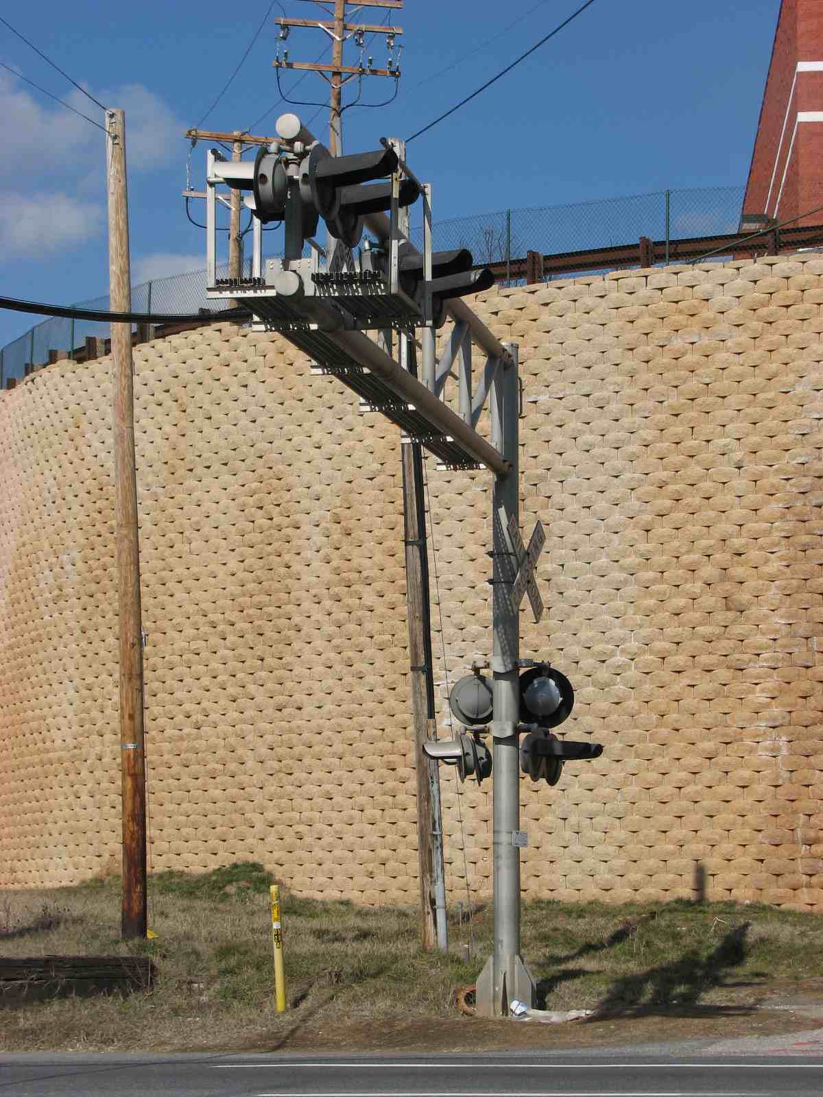
For signal fans, there are NO signals on this map (other than Metro Subway signals)! :-( All of the ex-WM signals are gone from the CSX tracks - sorry. Some of the ex-WM signals are still in place on the Maryland Midland, however, they are non-operational, and are mere skeletons. You can buy one from them for around $1800 (the last time I checked) - but be prepared for a whole lot of work on them tho if you want to restore them! There is one fellow in Reisterstown that did buy one, and has done a most excellent job of restoring it - if I can ever get up there to get pictures of it, I will post them.
For transit fans, the northern end of the Baltimore Metro-Subway rides up the middle of I-795, with a stop at Old Court Road before getting to the end of the line at Owings Mills.
If you're into the fire and police scene, there
are quite a few volunteer companies on the map.
The only police station on
the map, Franklin (formerly Garrison), is right around the corner from the only
paid fire station on the map, Garrison.
The above map is available here as a PDF
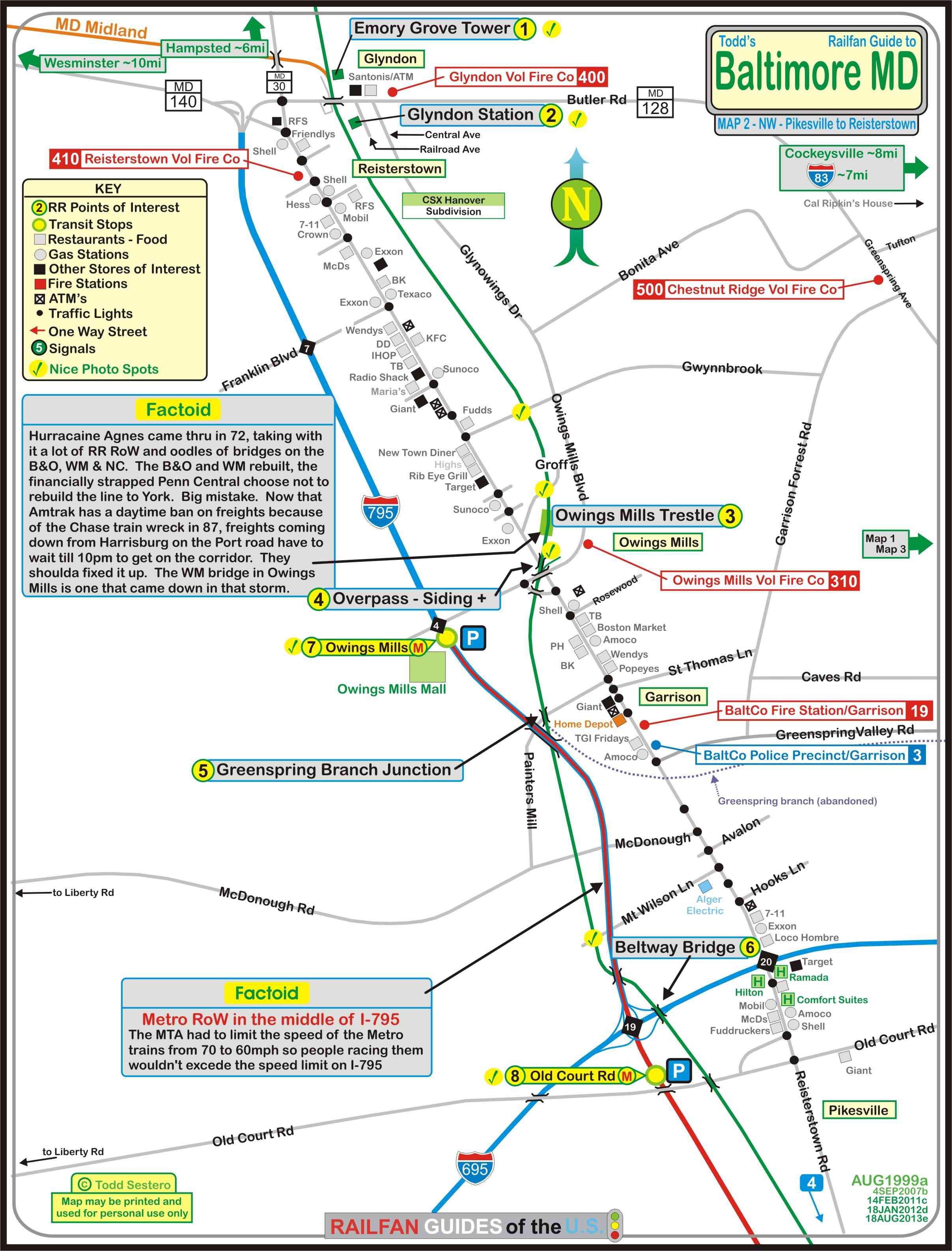
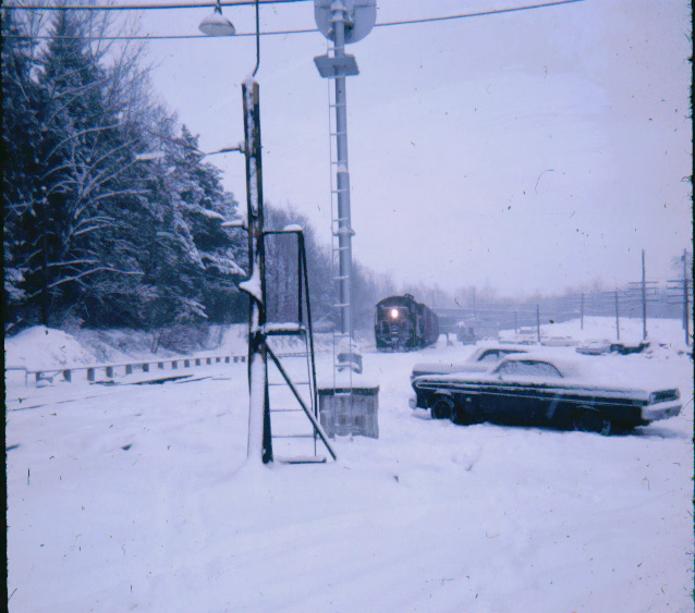
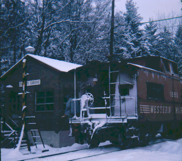
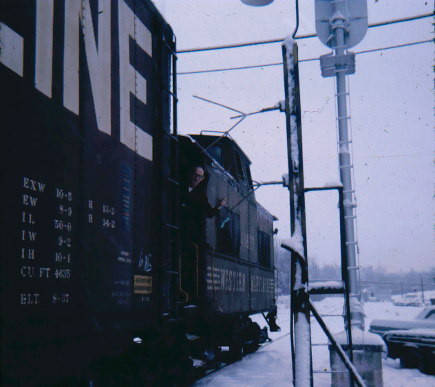
1
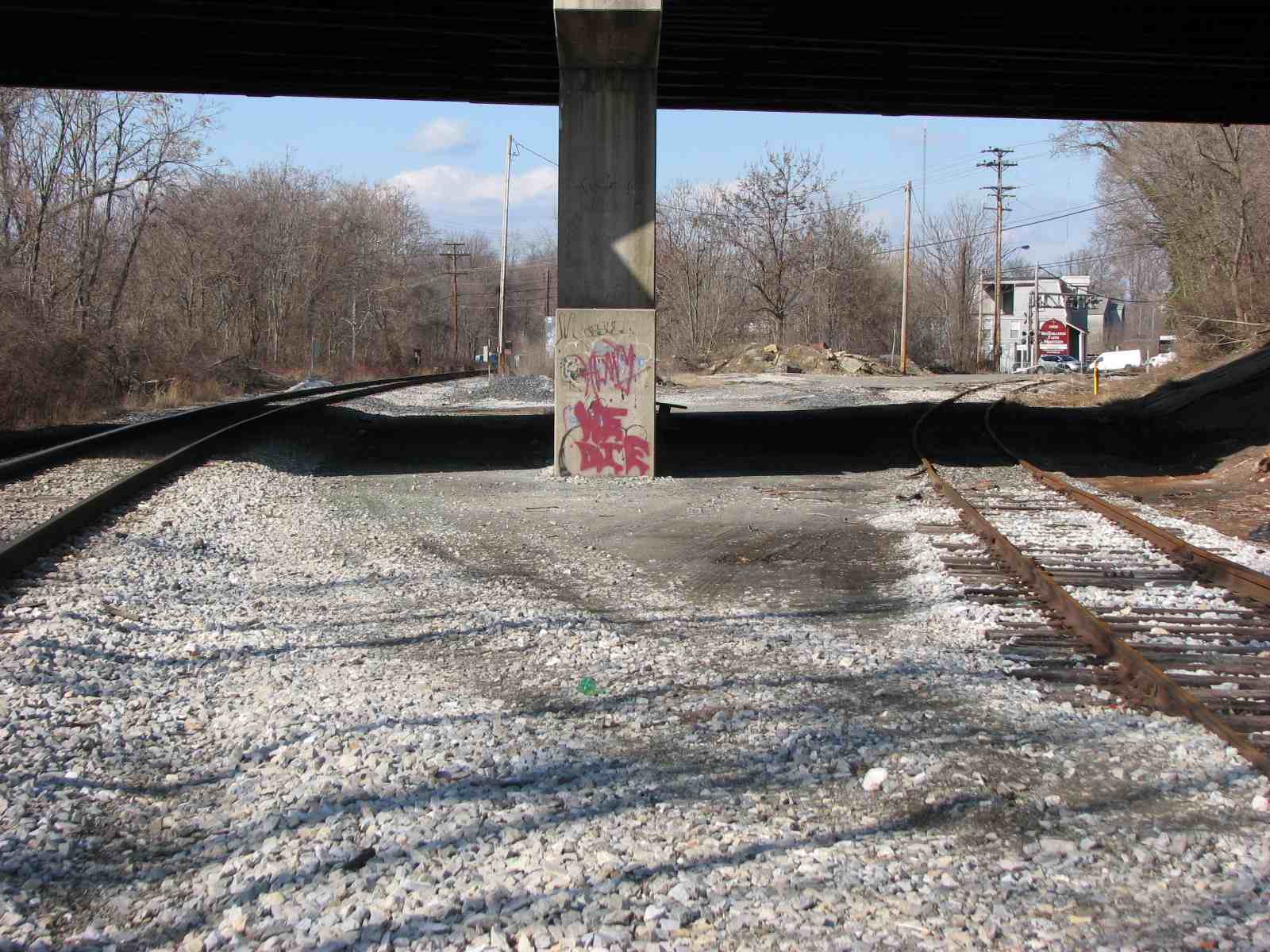
At The Emory Grove Tower
One day, a long, long time ago (1970) on a snowy afternoon, I
caught a NB freight passing through Glyndon. And nope, I don't have
pictures of the signals in Glyndon darn it, for they had a nice NB set hanging
off the Butler Road overpass :-( (seen in the far background of the pix of the
approaching freight). The tower stood on the eastside of the tracks where
the Maryland Midland now splits off.
2
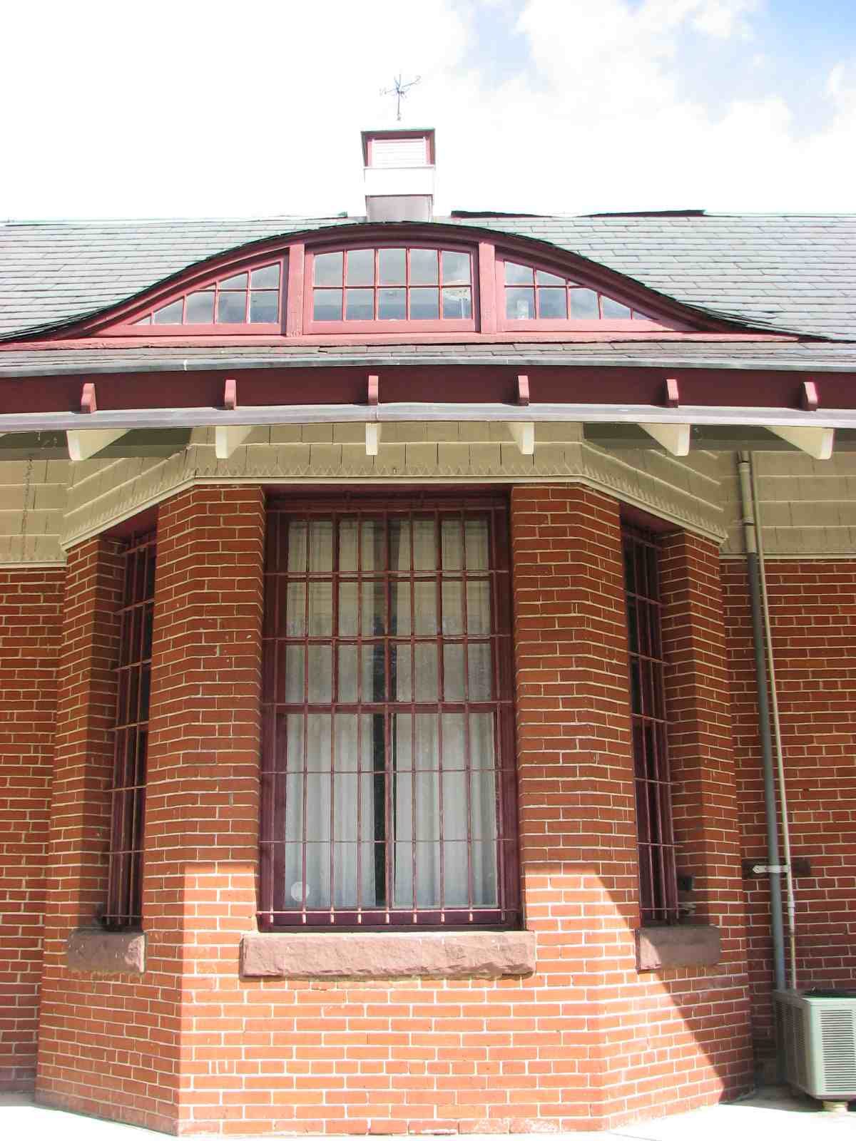
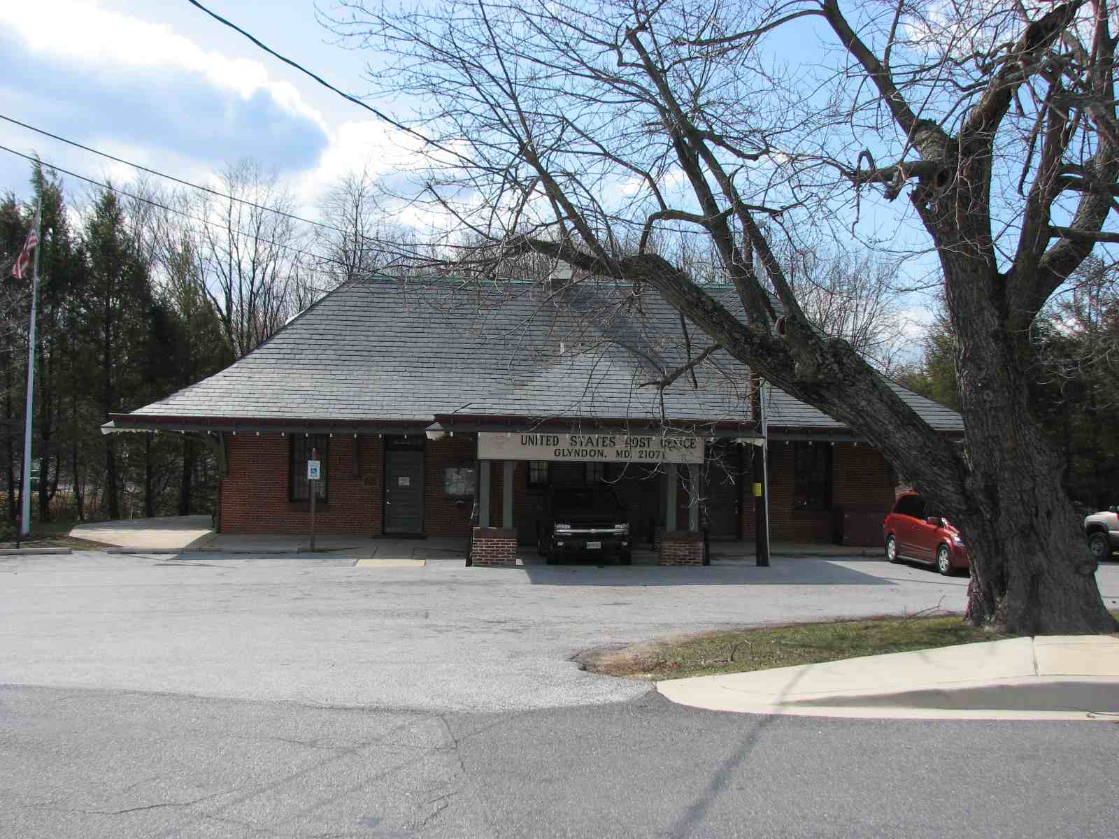
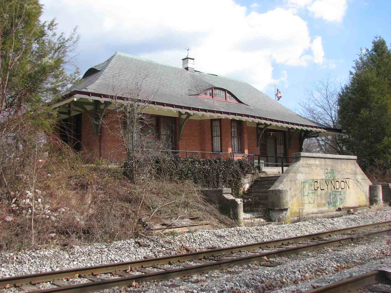
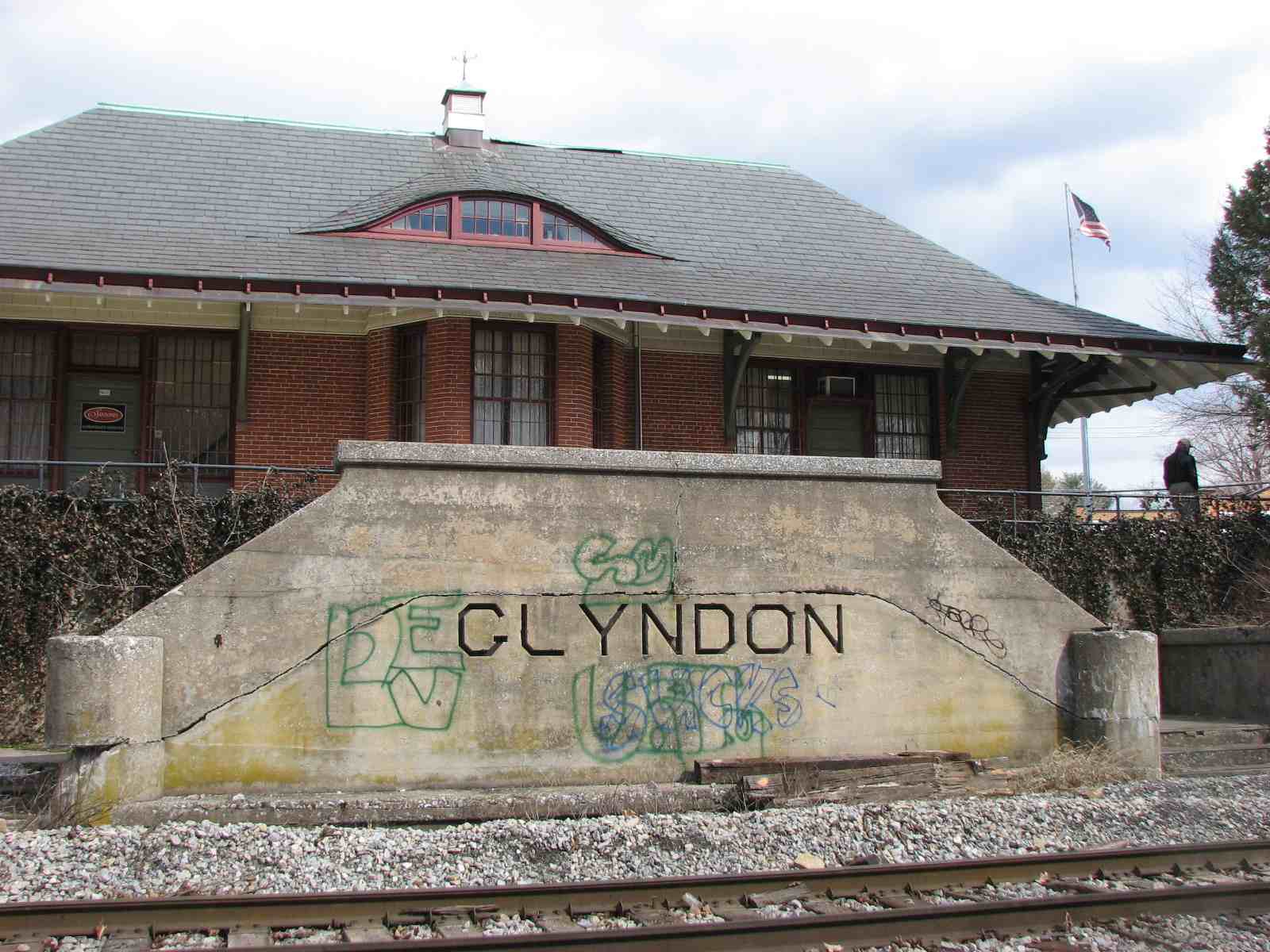
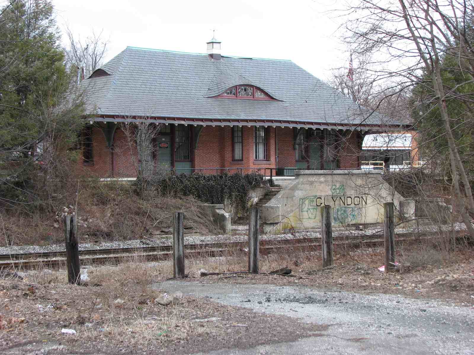
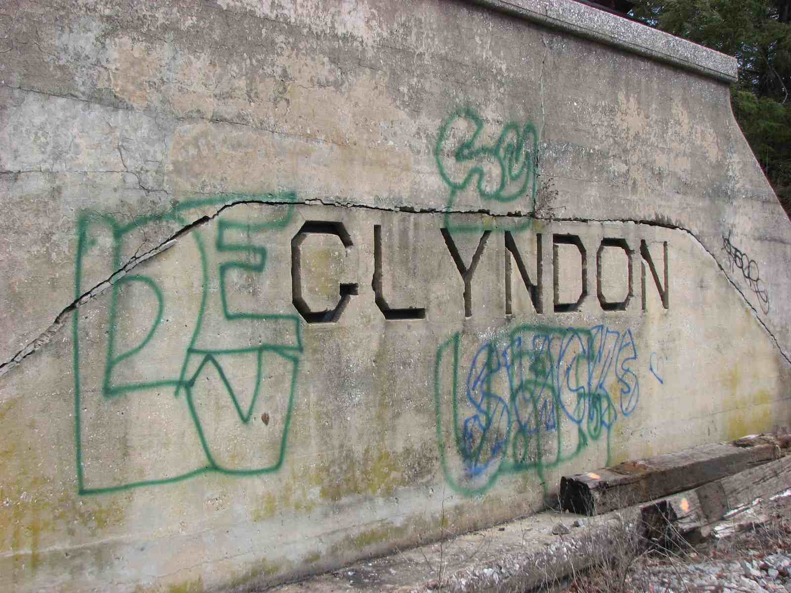
Glyndon Station
A post office occupies part of the old station (for now).
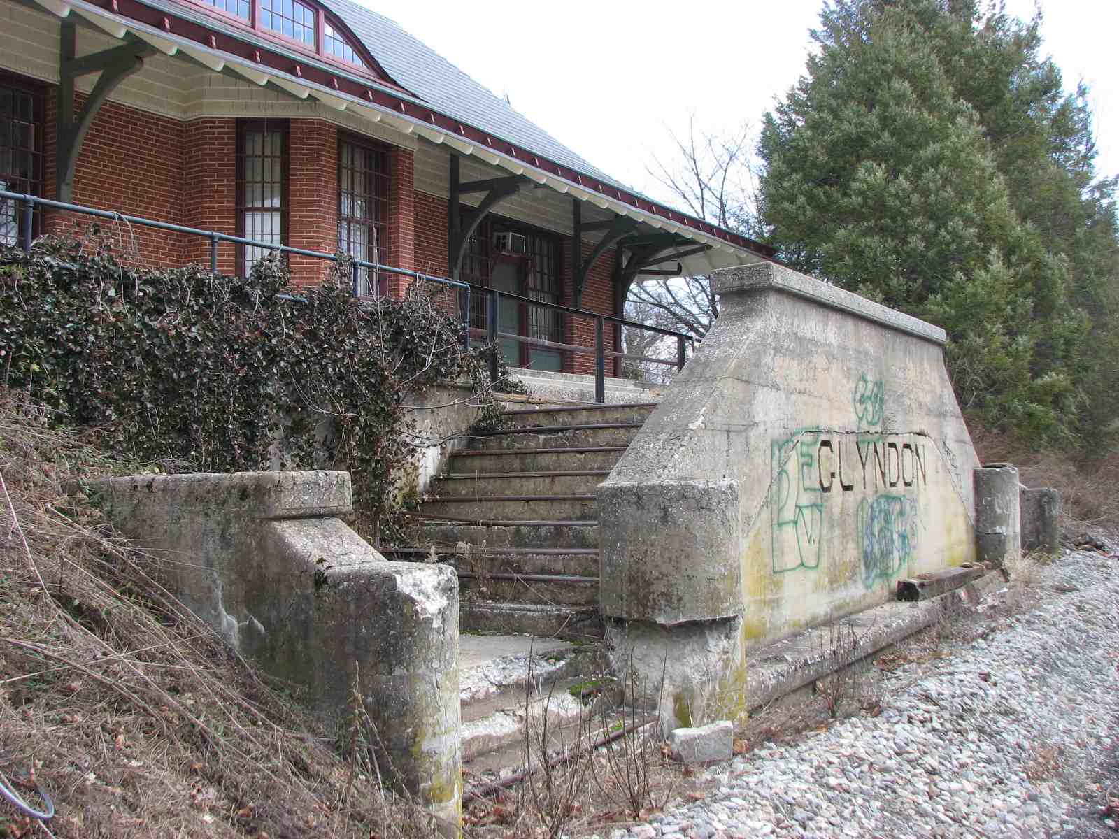
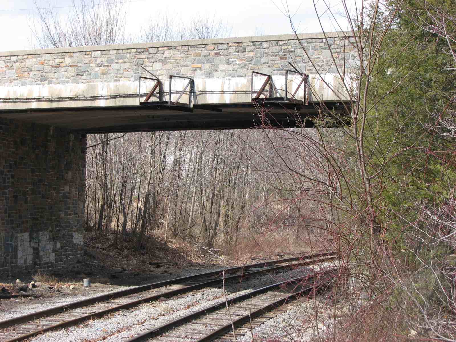
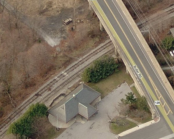
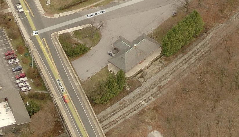
 The Butler Road overpass, and mounts for the signals.
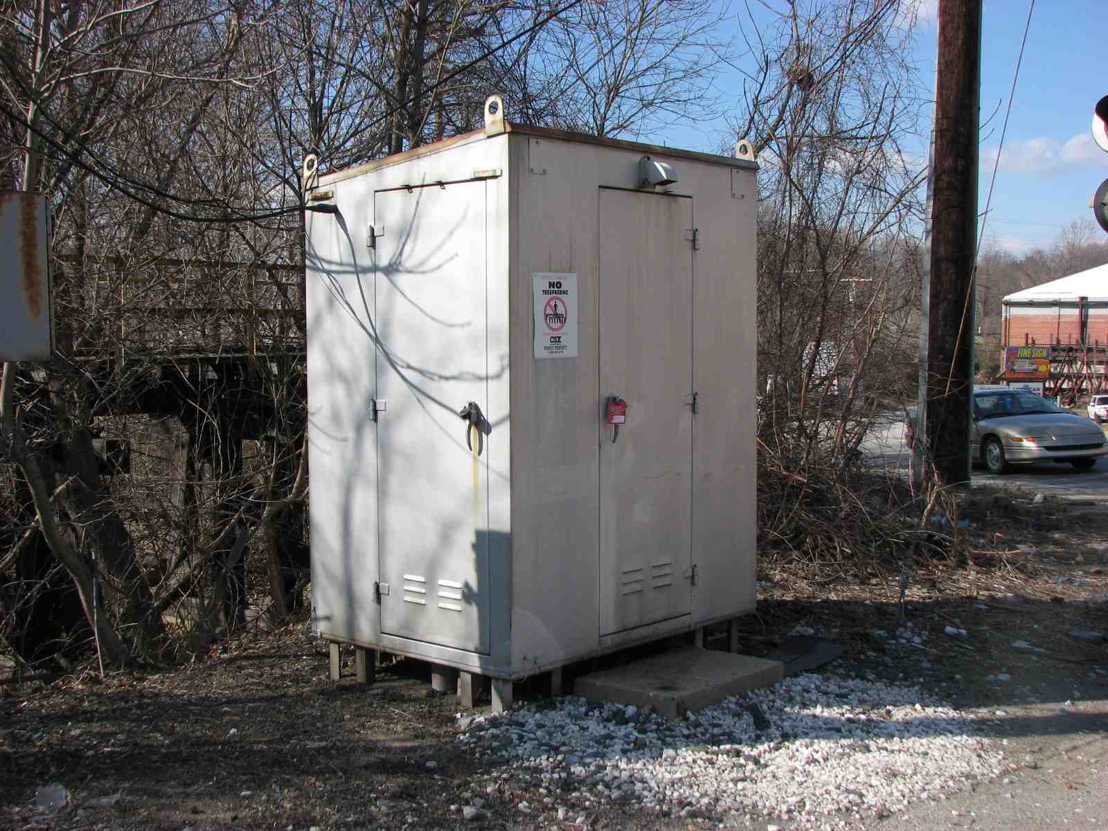
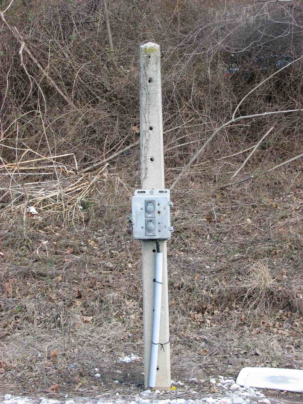
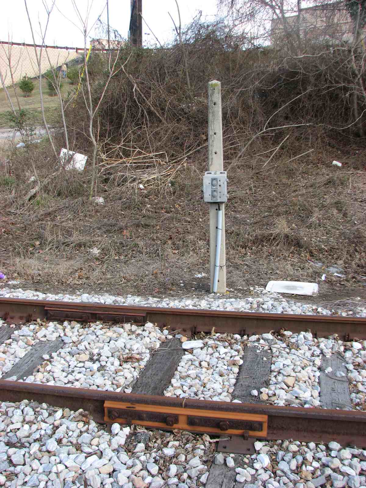
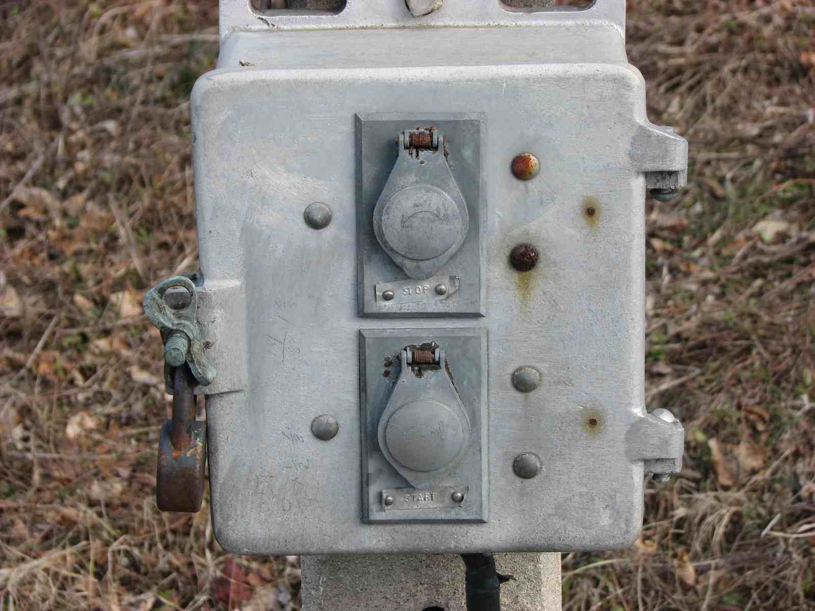
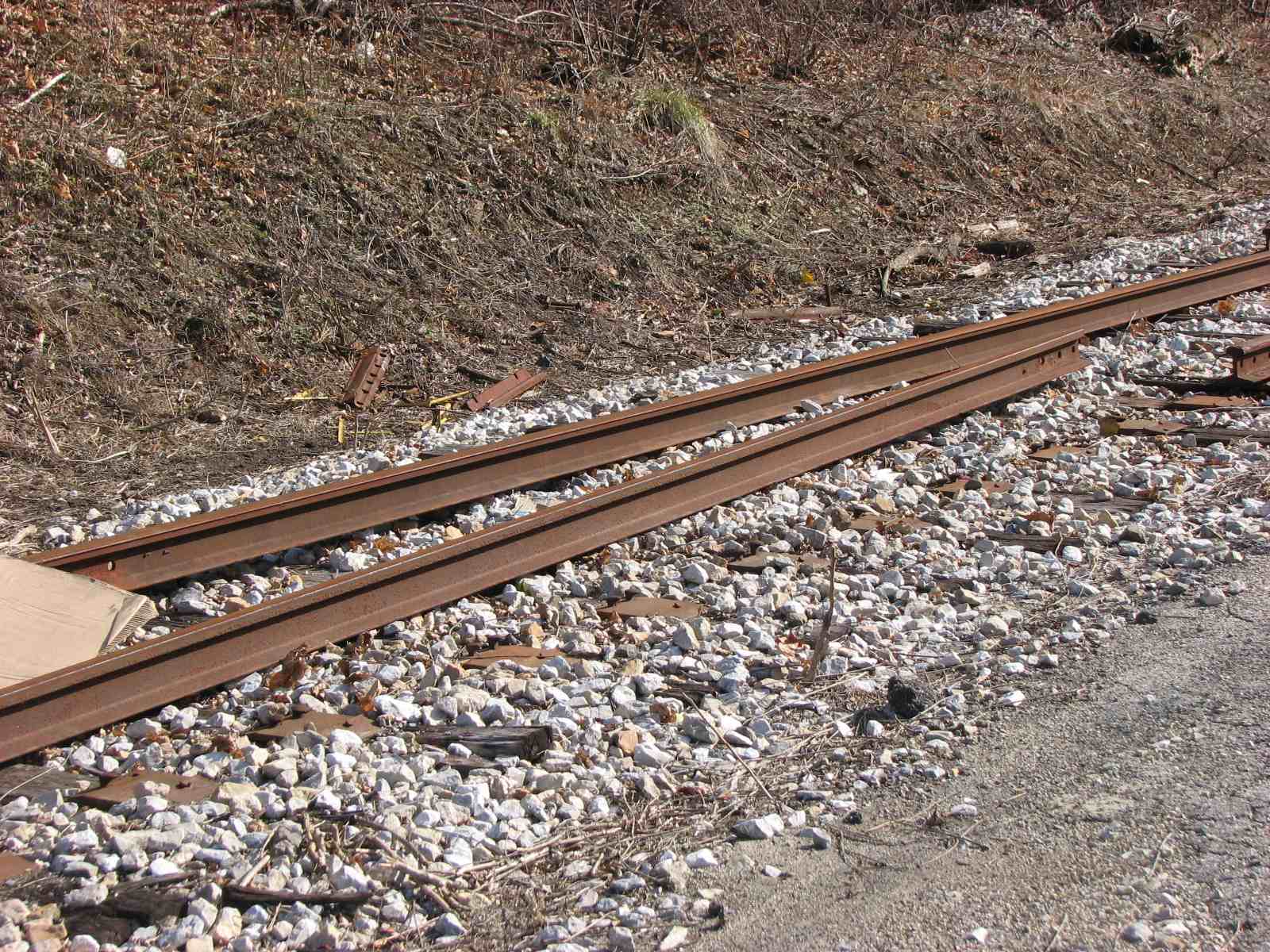
 Relay cabinet for the signals that are no longer around.
 Looking north up the track.
 Looking north up the service road that used to go up to the
tower.
Looking north up the service road that used to go up to the
tower.
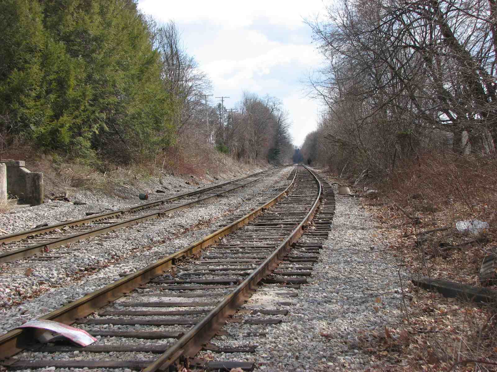 Looking south from the station.
A northbound CSX freight approaches the Glyndon Station.
3
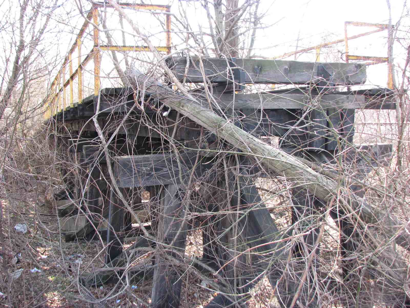
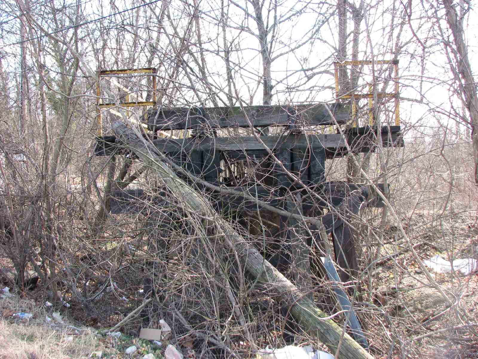
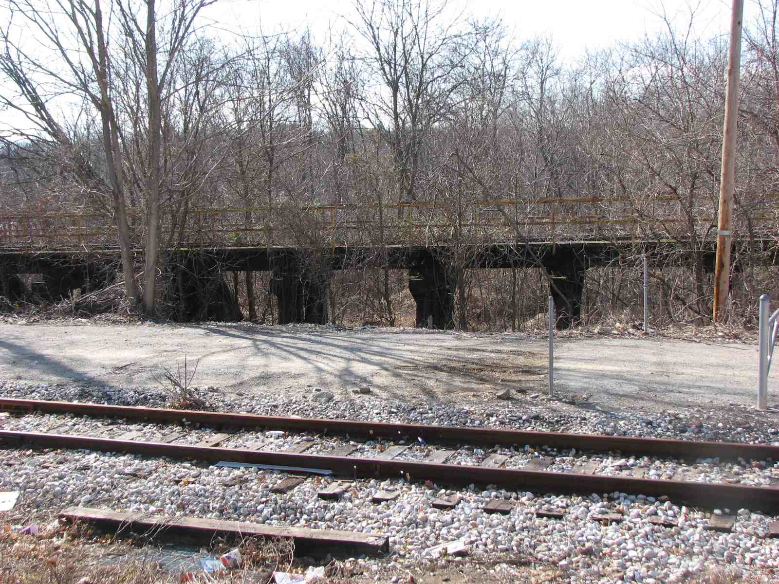
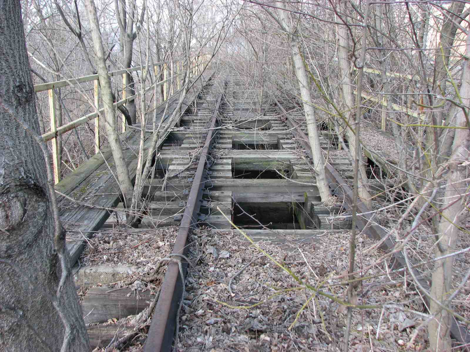
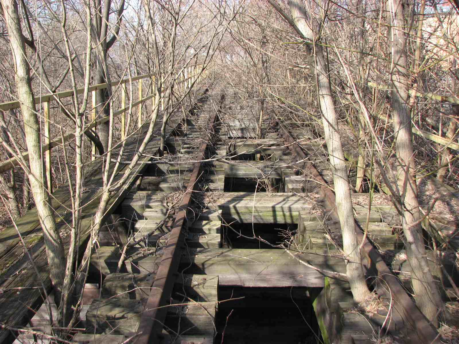
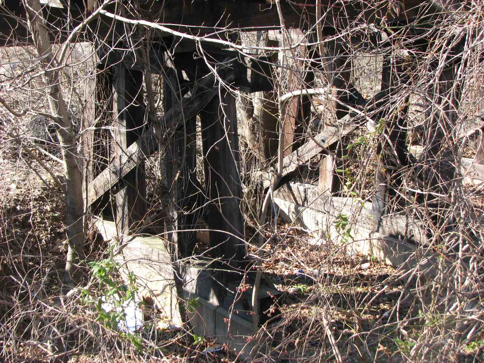
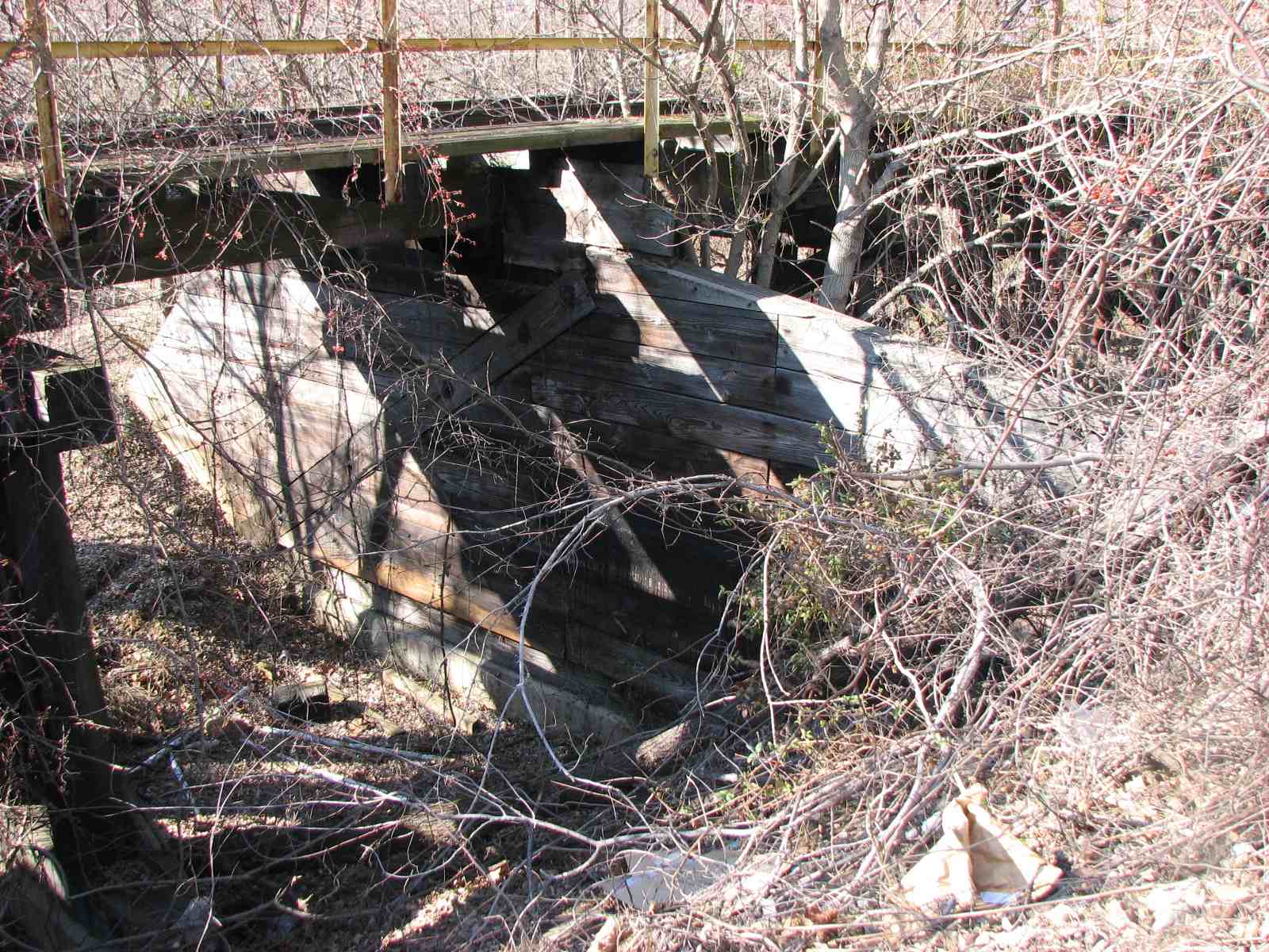
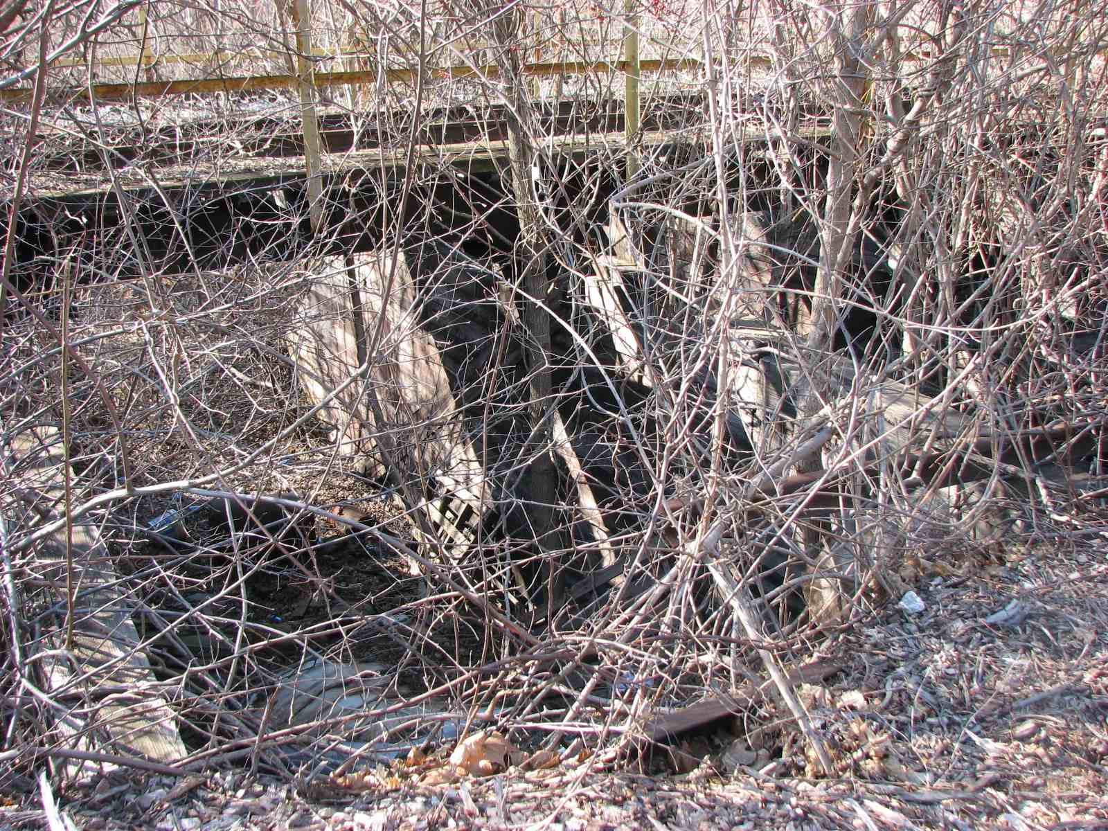
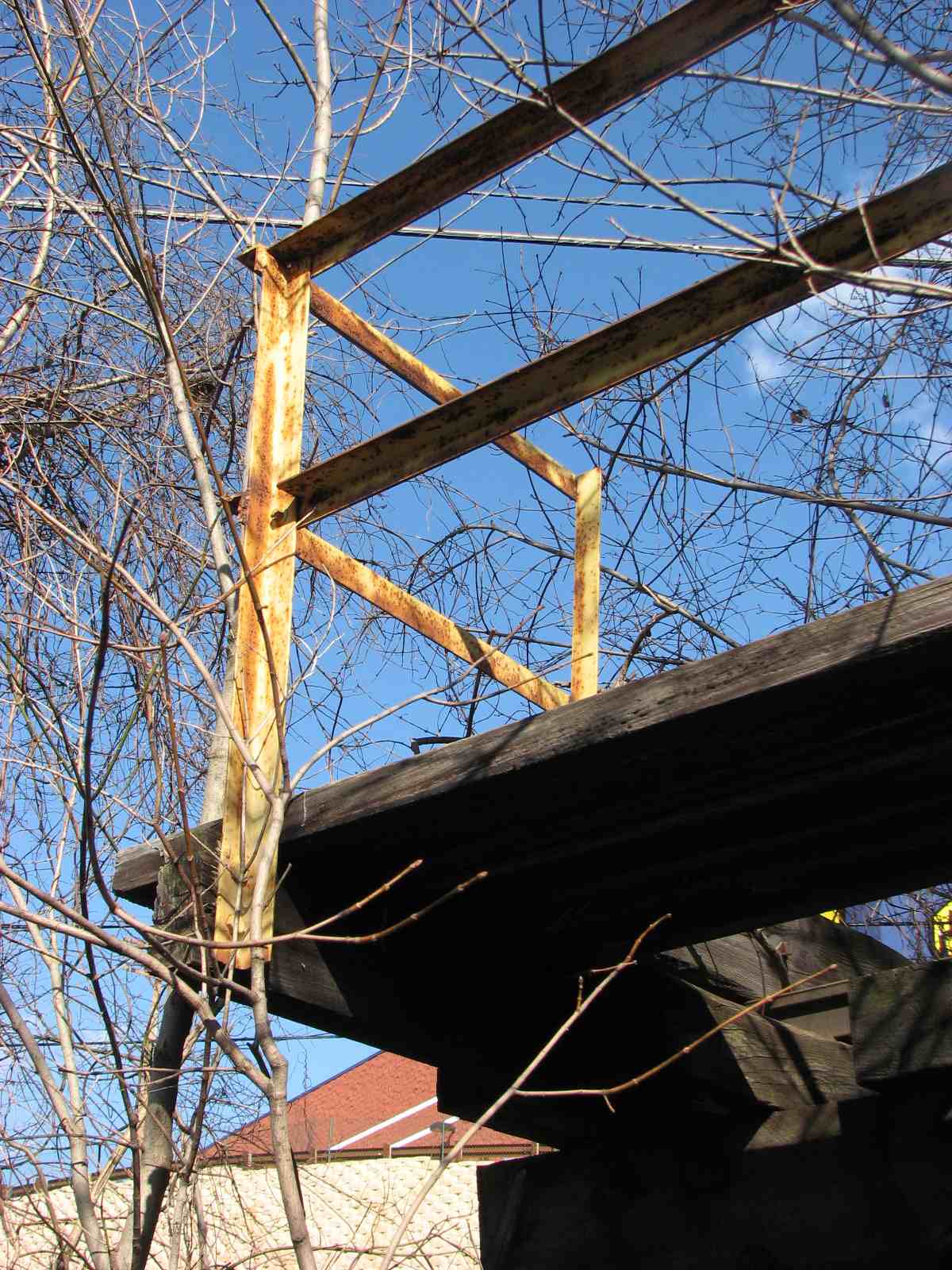
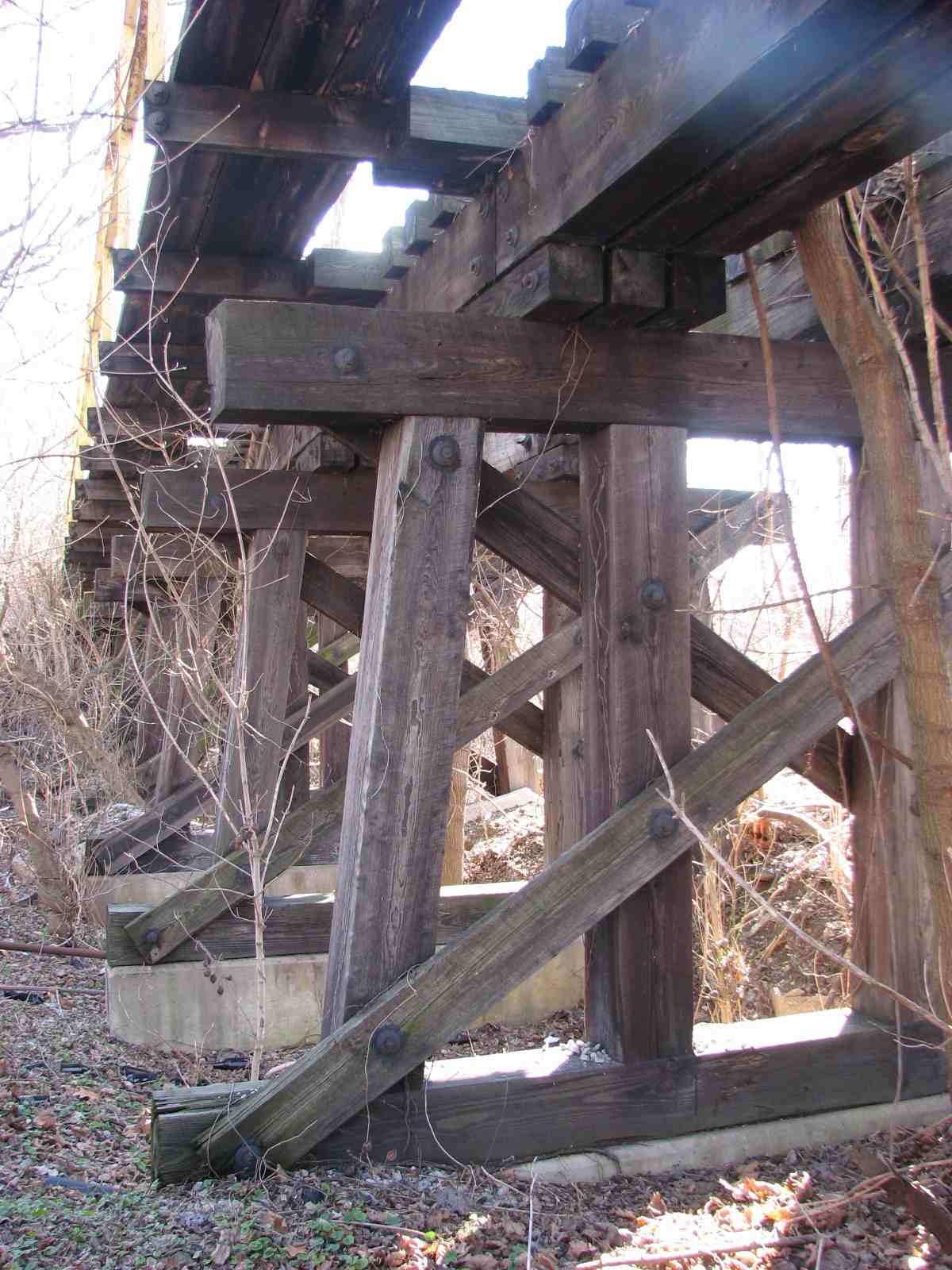
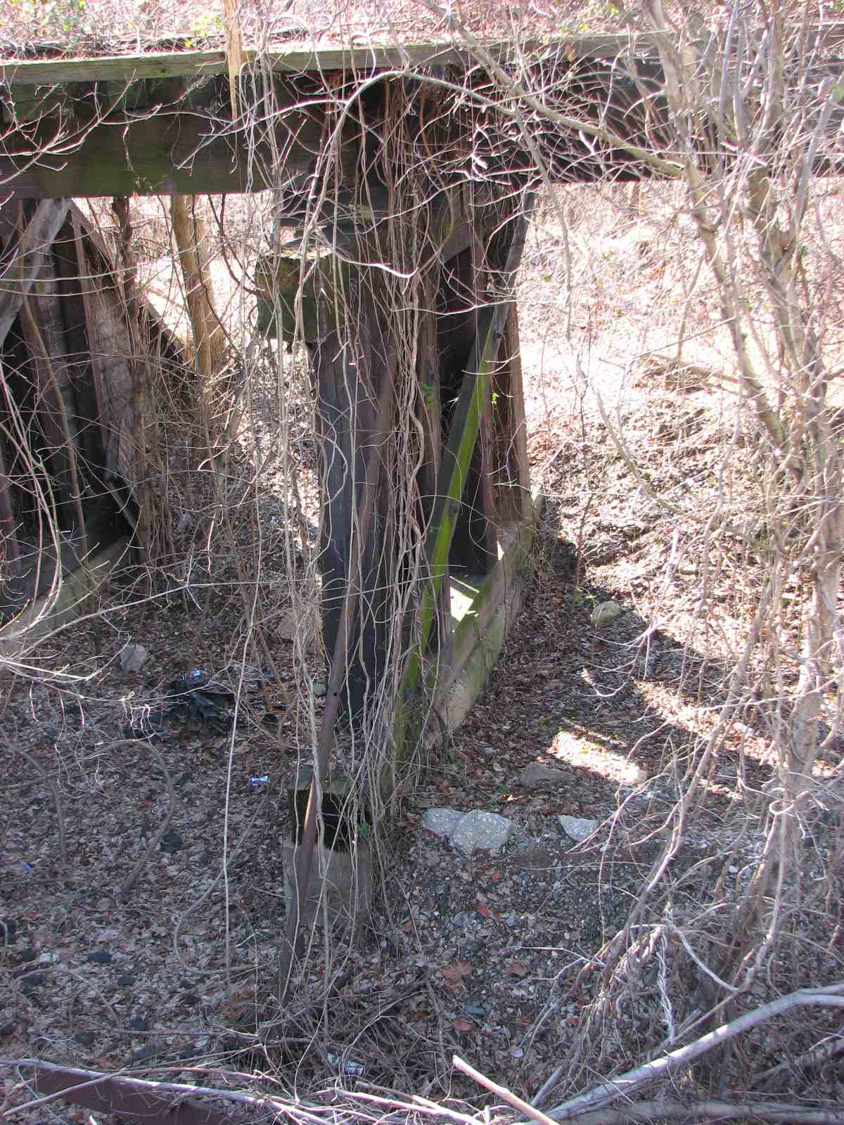
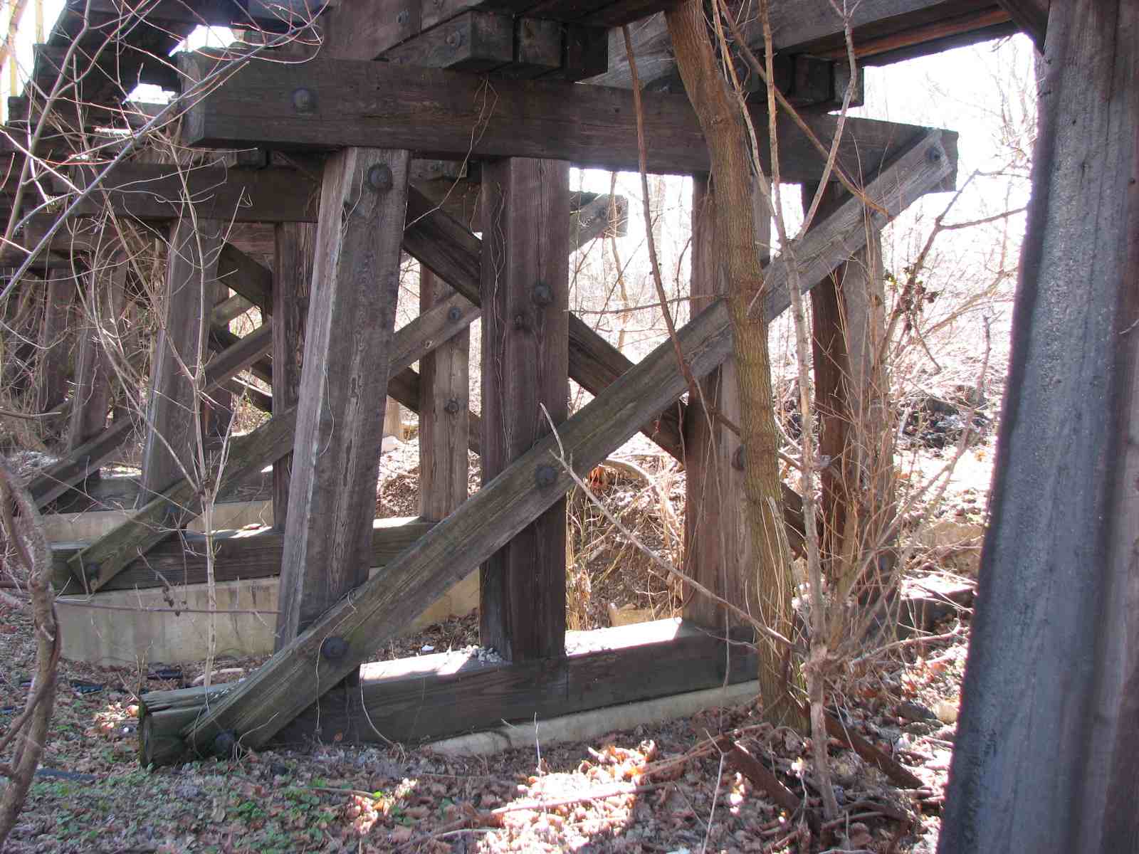
the Owings Mills
Trestle
With the trees that have grown up over the past 40 years since
I started taking pictures, it is much harder to get decent pictures here.
But if you want to try, park along Bonita Ave and bring along something to eat
while you're waiting. The bridge was badly damaged by the rain waters of
hurricane Agnes in 1972, but quickly rebuilt, as this was the Western Maryland's
only way out of Baltimore. Between the bridge and Bonita Ave
was a set of NB and SB signals.
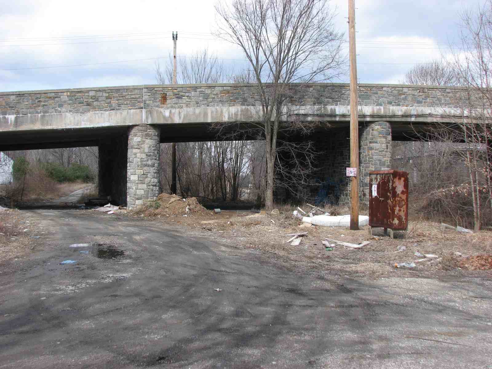
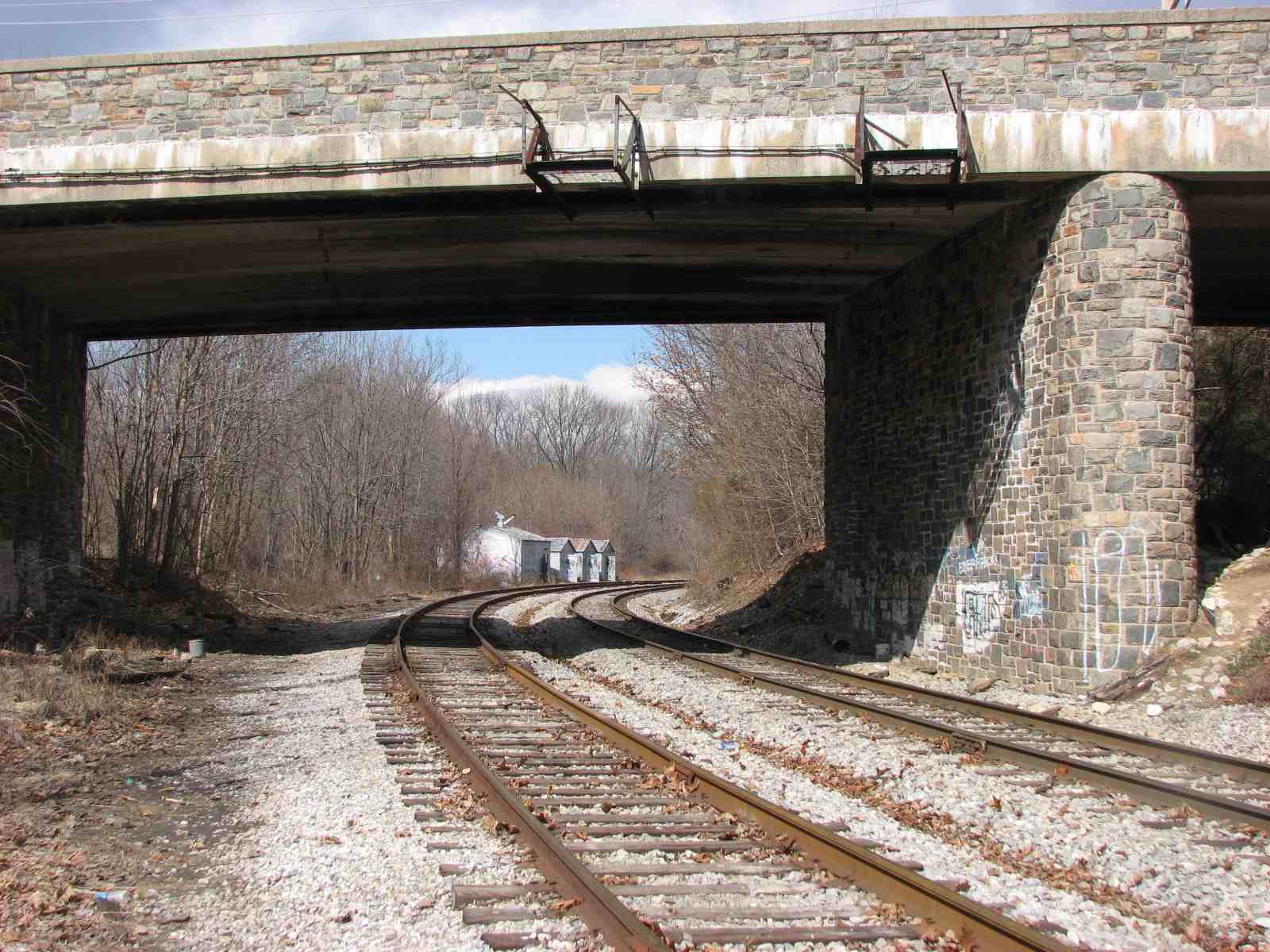
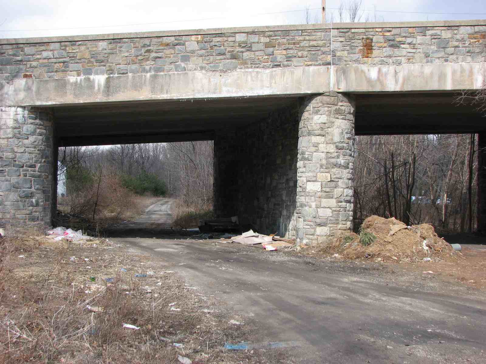
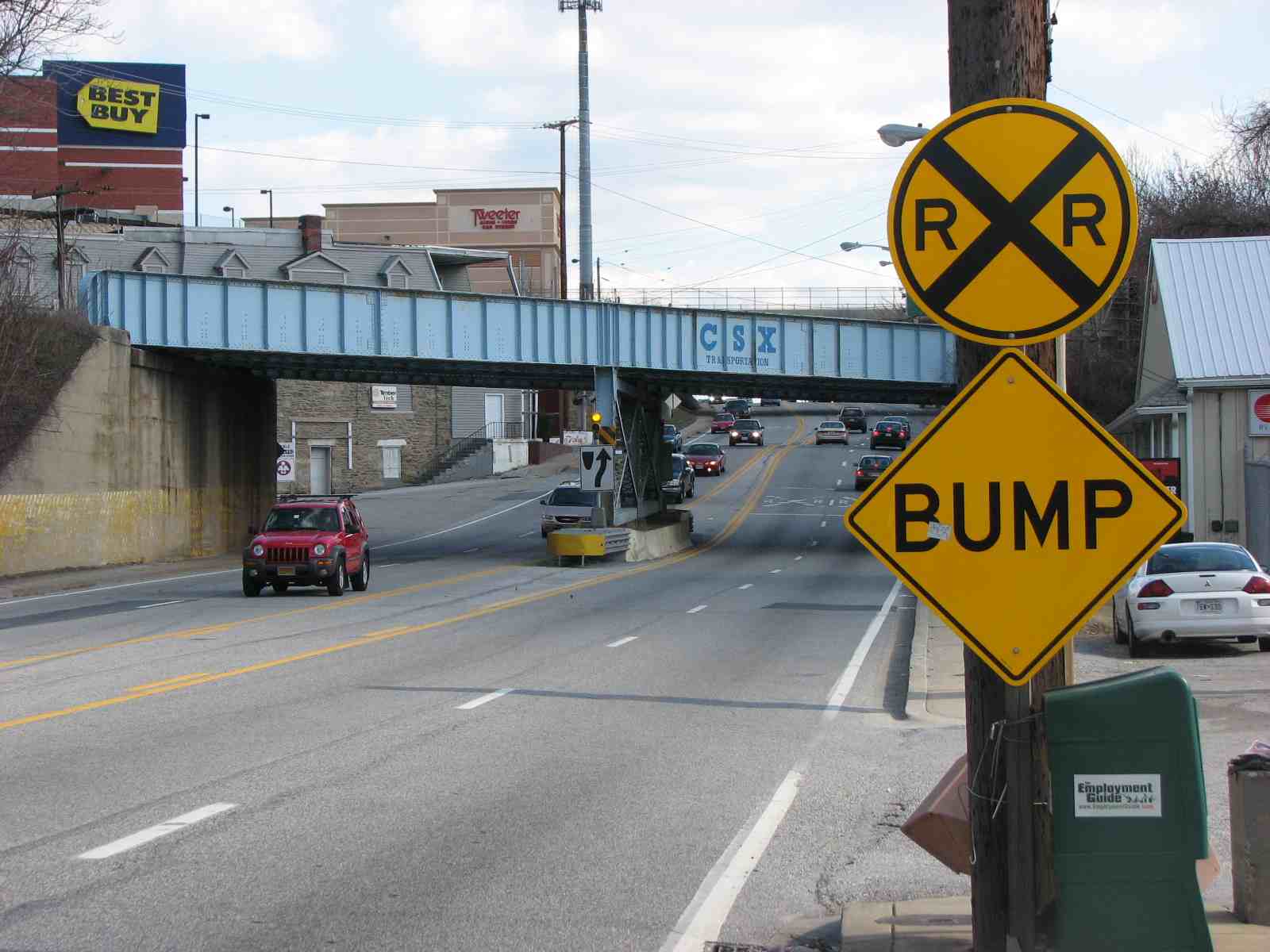
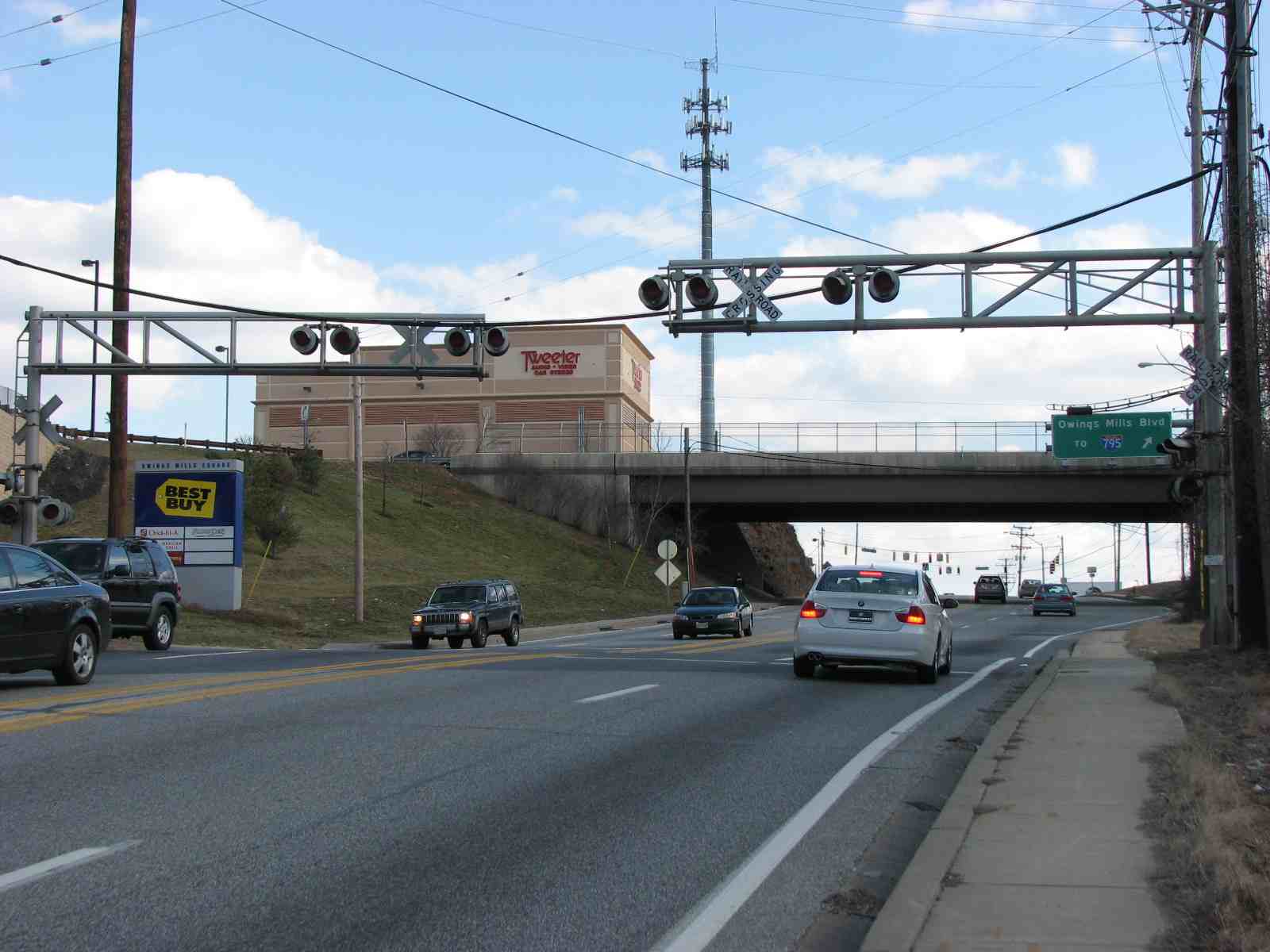
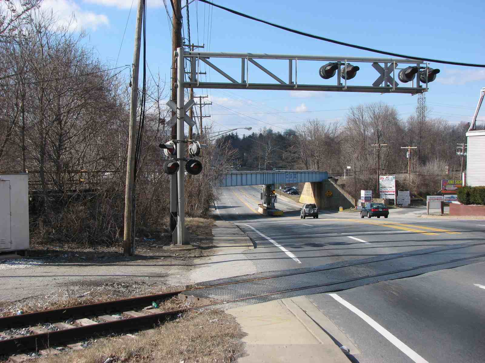
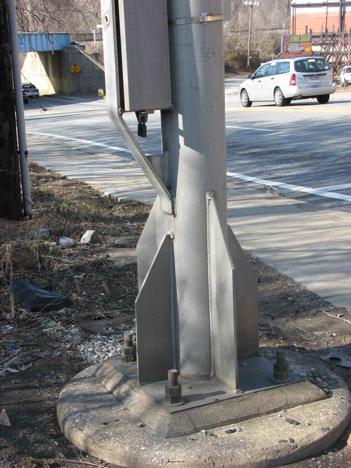
4 Overpass, Siding and old Coal Tipple
The siding used to service the lumber yard that is still there, but the coal tipple hasn't been used since before I started driving in 1969.
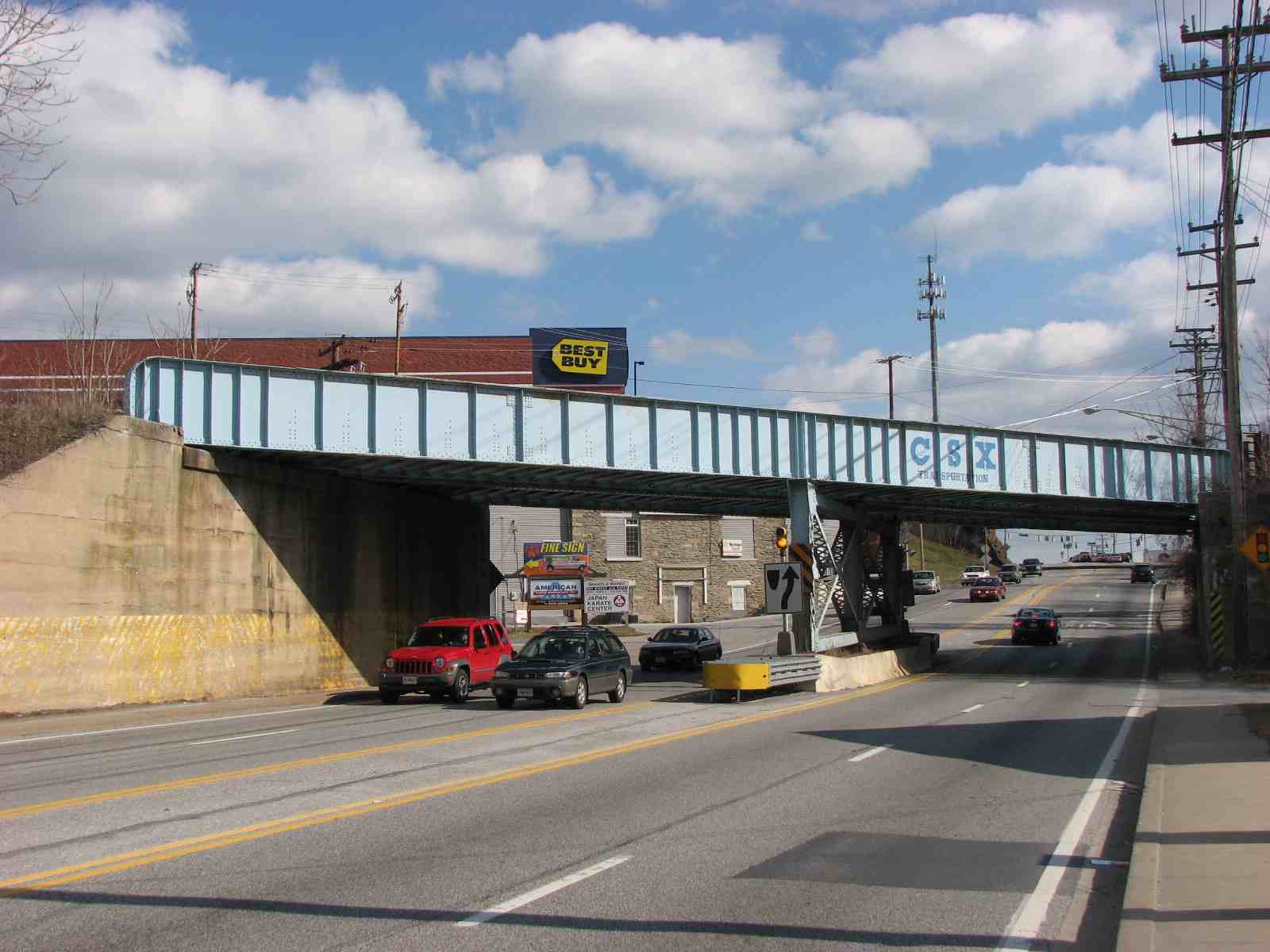
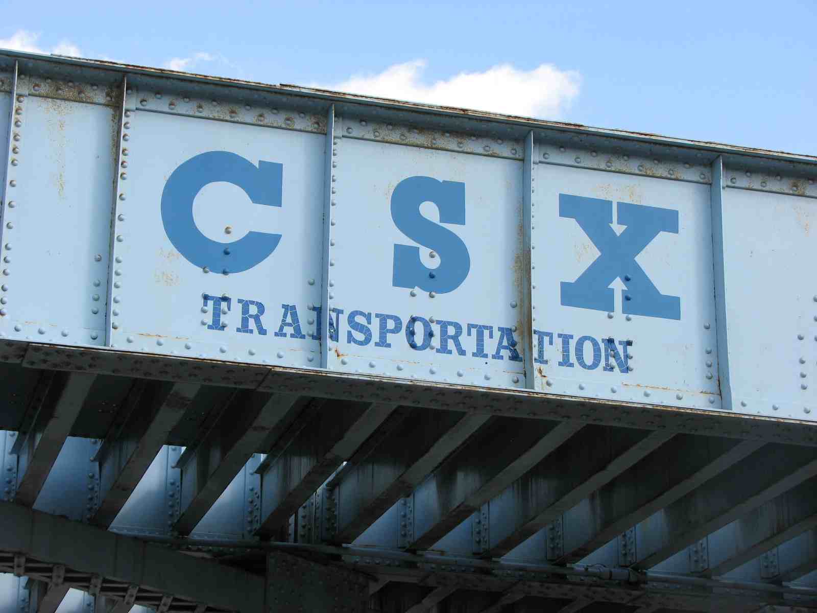
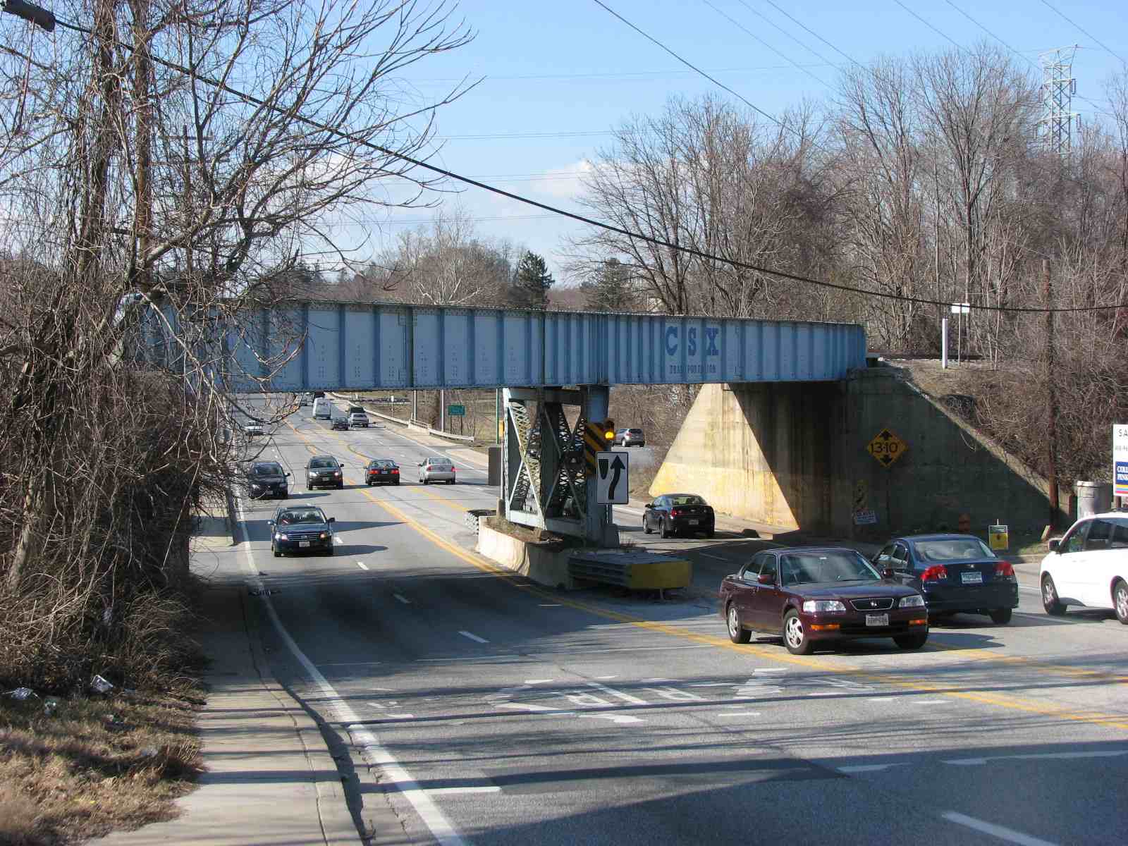 The overpass which is currently used.
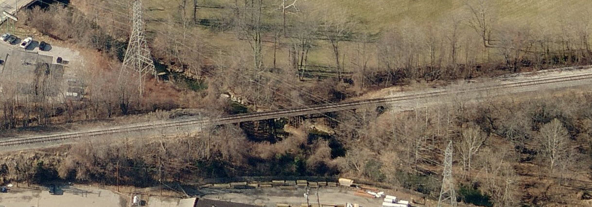
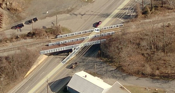 Aerial shot of the overpass.

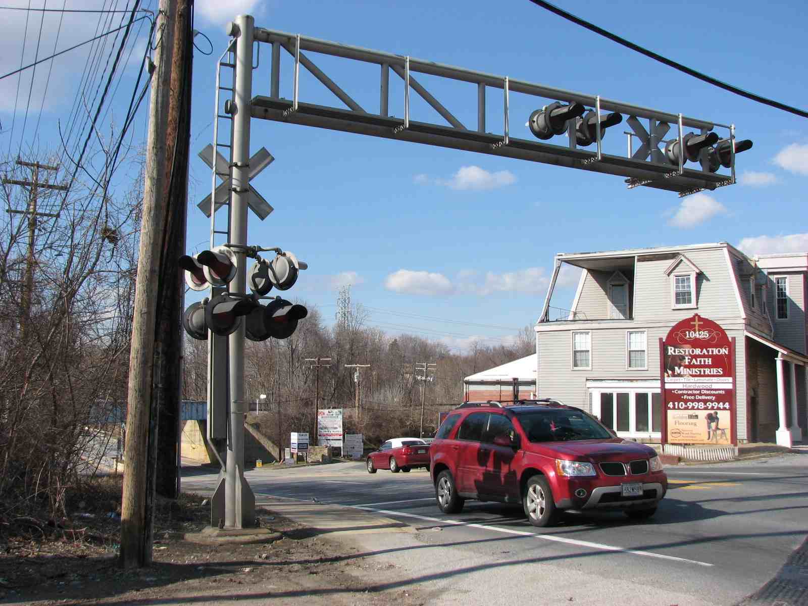
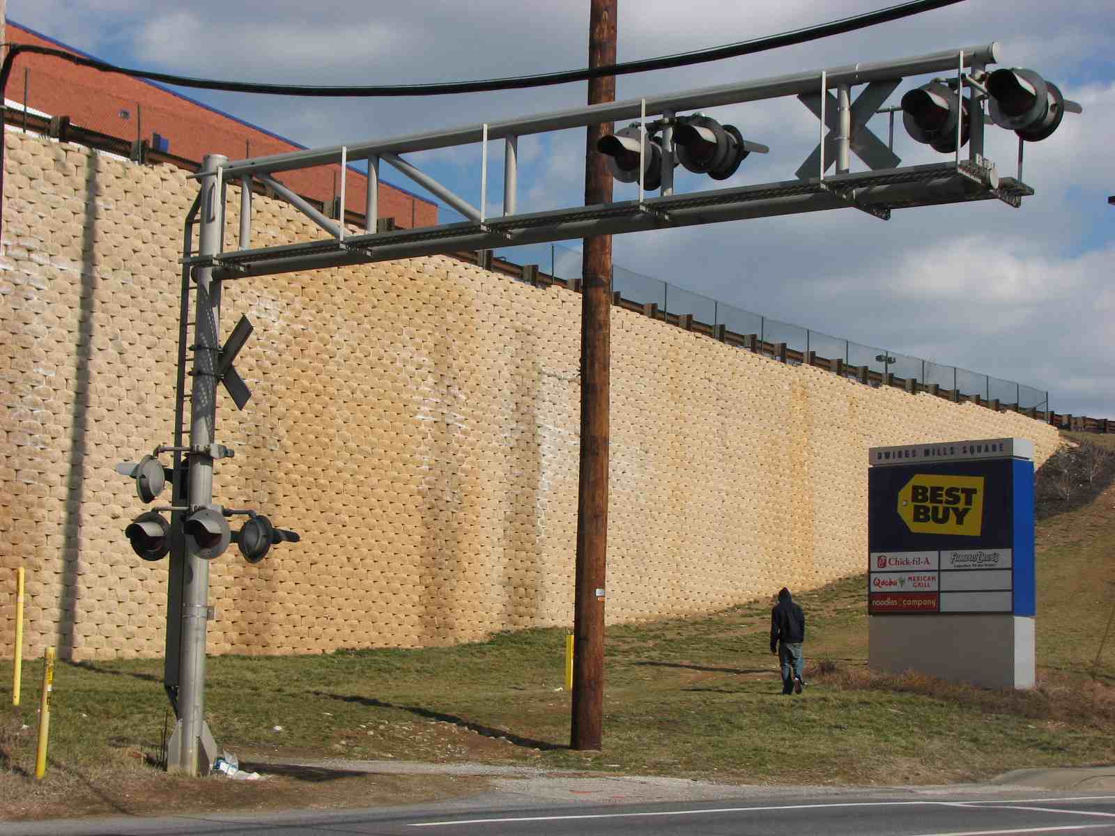
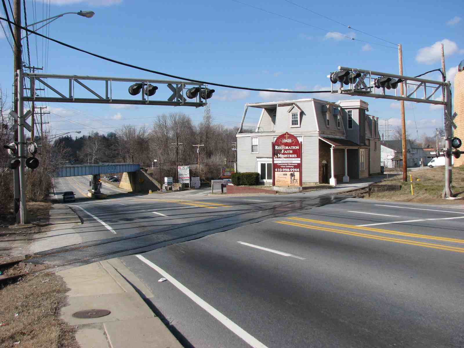
Grade crossing and looking into the lumber yard.
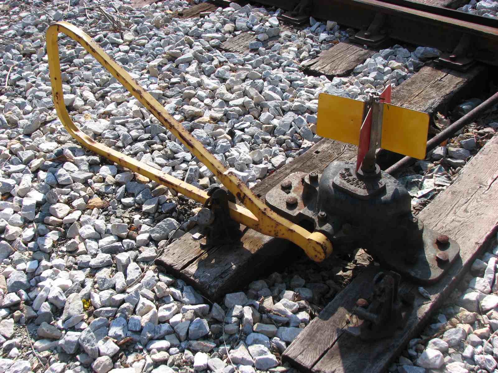
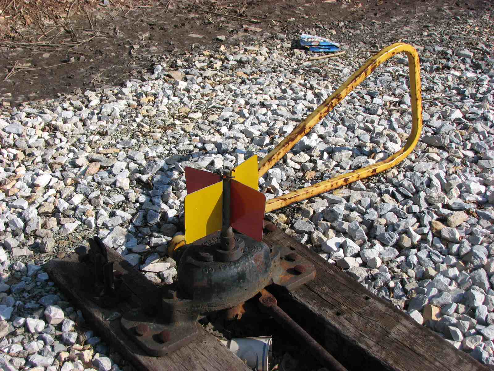
 Manual control for the grade crossing????
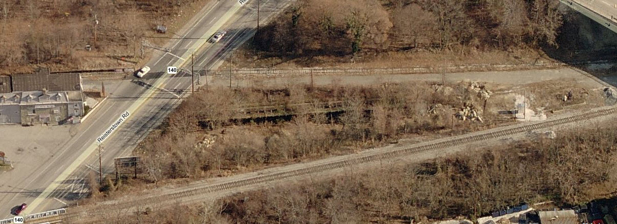
Above is an aerial shot of the coal tipple and below are details shots.


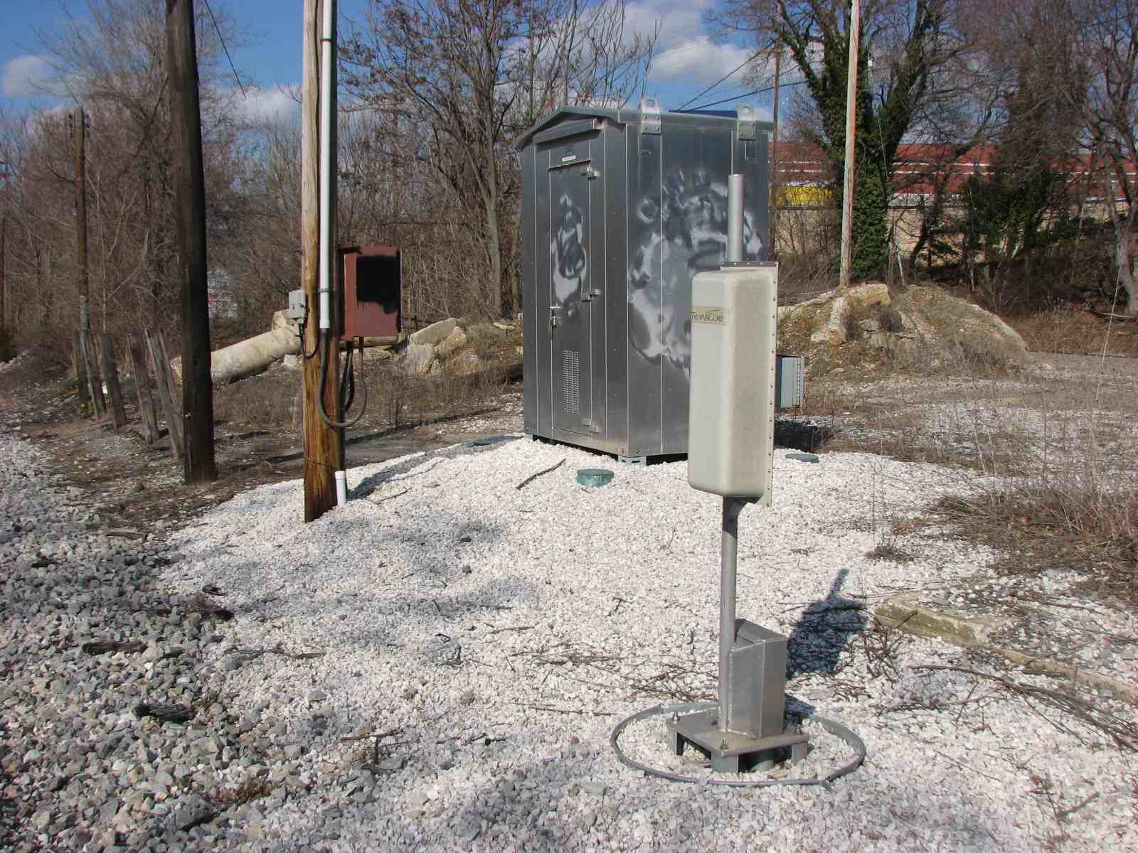
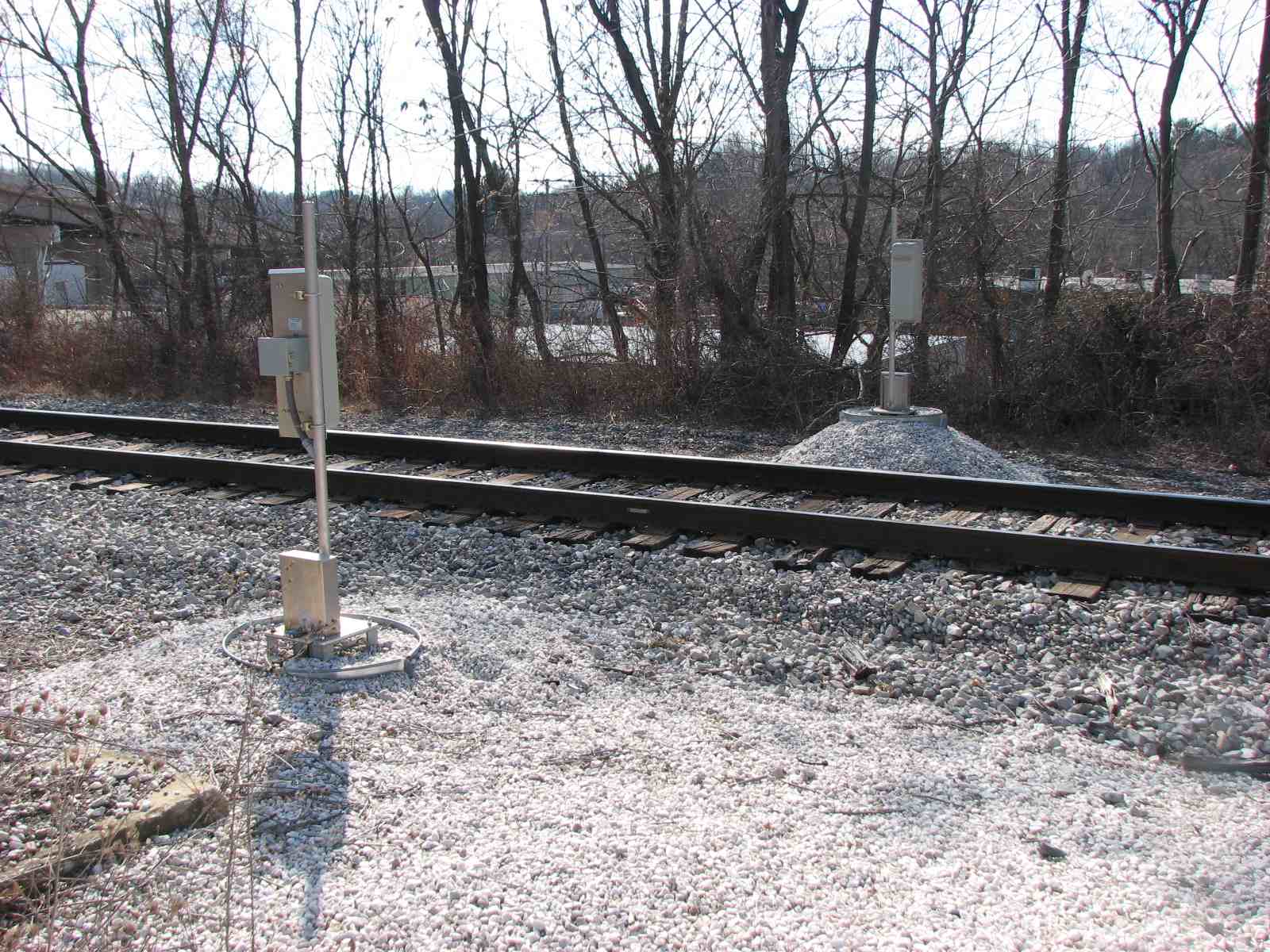 Equipment detector on the north side of the Blvd.
 The mainline passing under Owings Mills Blvd, with the siding
on the other side of the Blvd, off to the left.
The mainline passing under Owings Mills Blvd, with the siding
on the other side of the Blvd, off to the left.
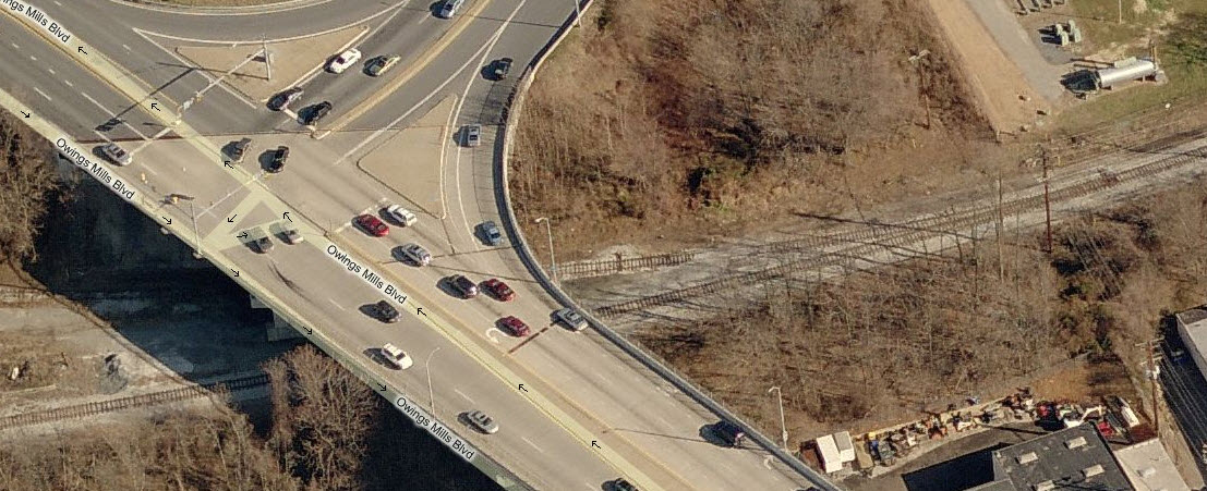
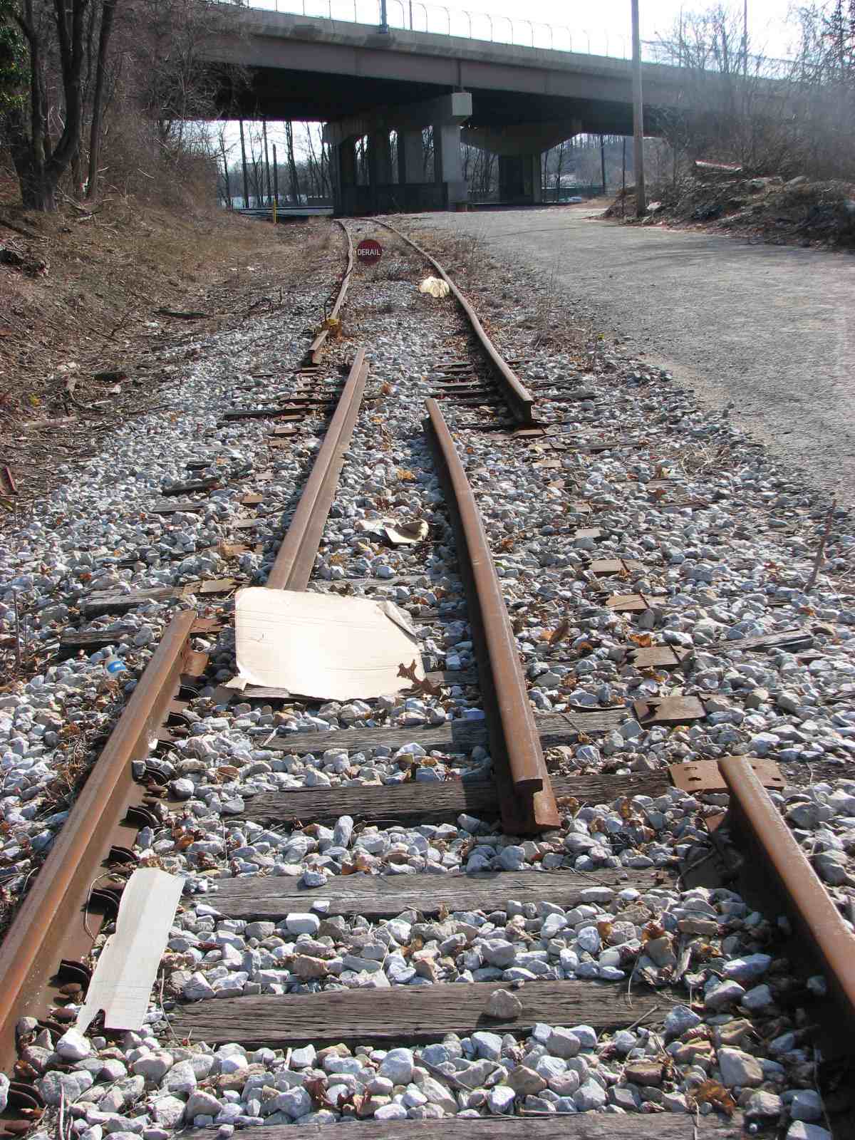
The siding, with derail and removed section of track to prevent anything getting across Reisterstown Rd, aerial shot above.

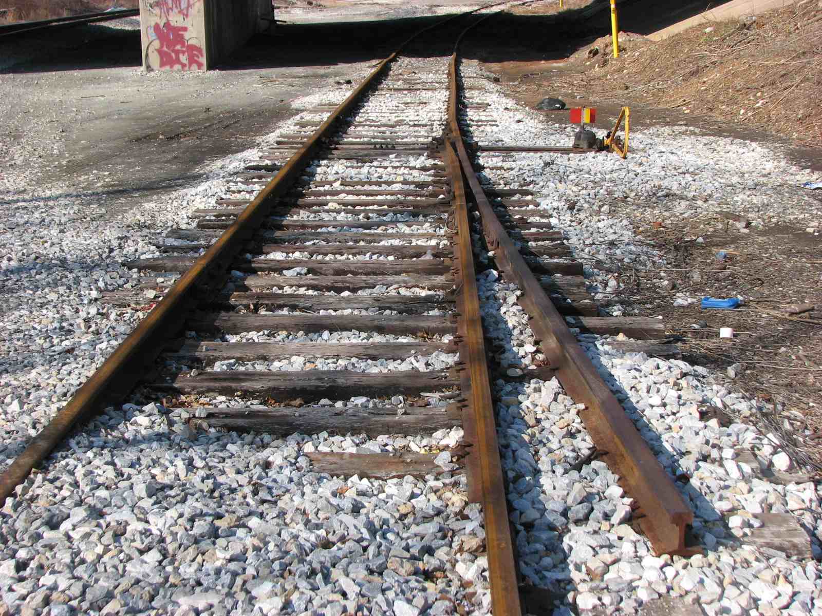
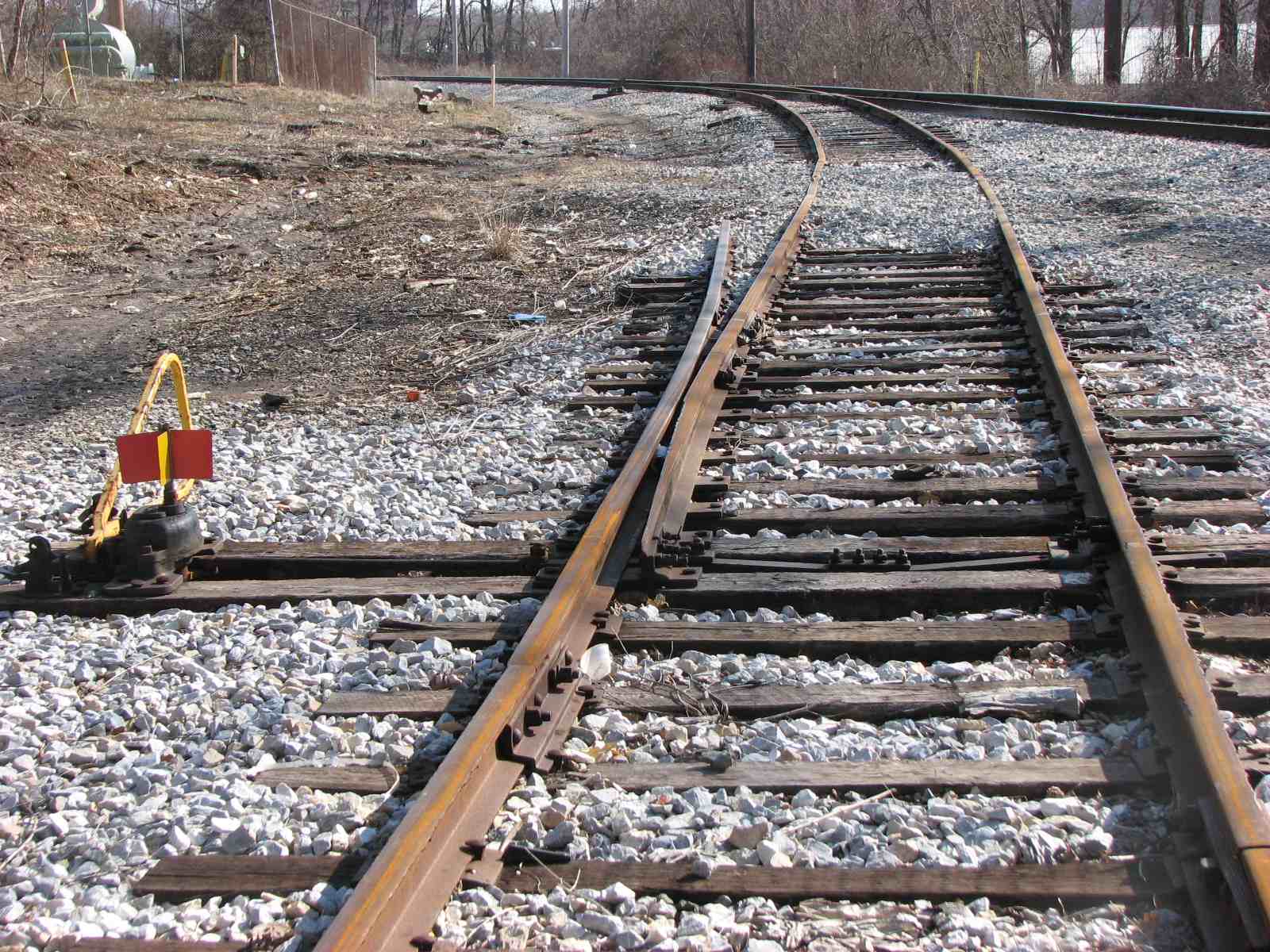
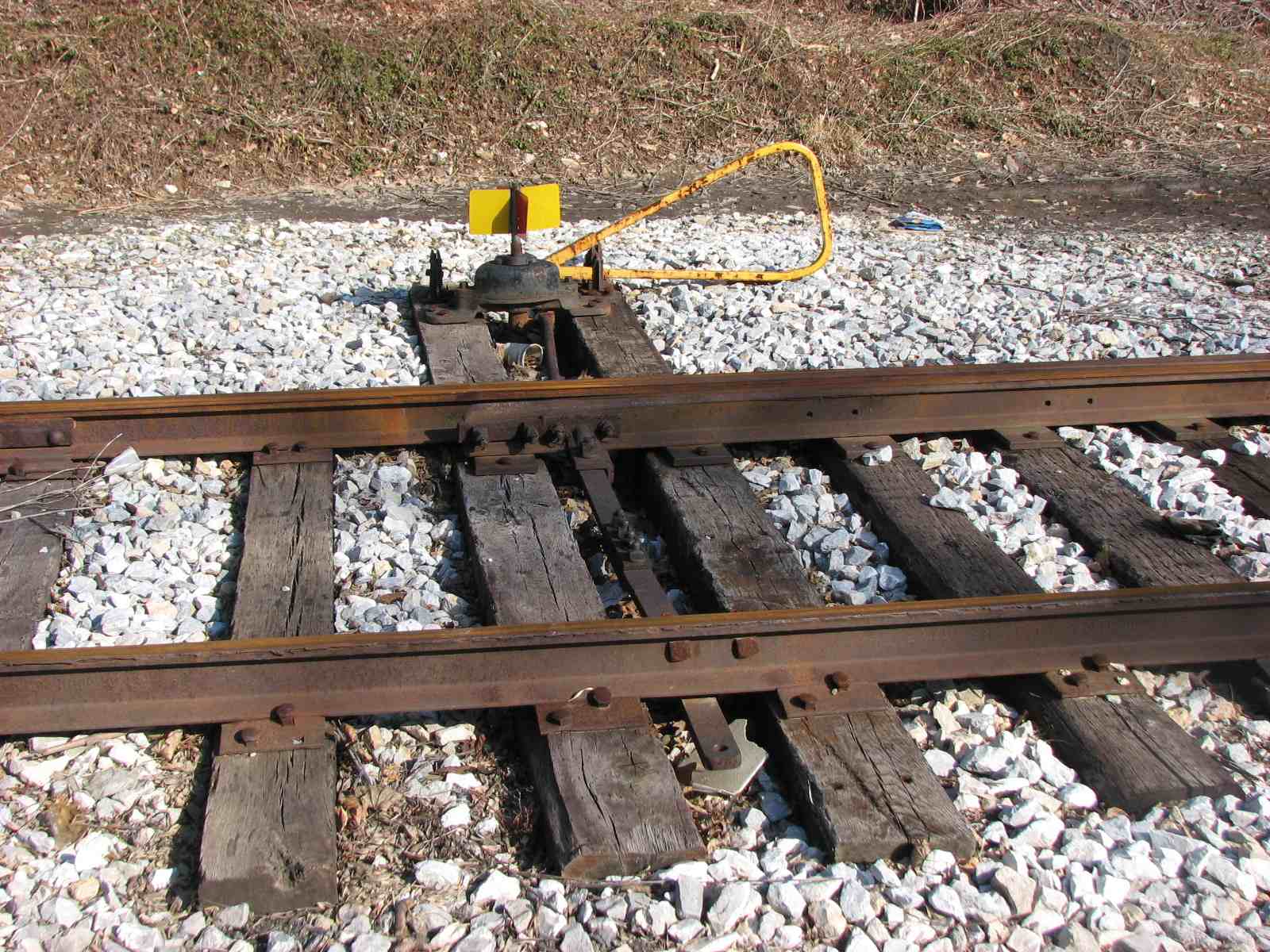
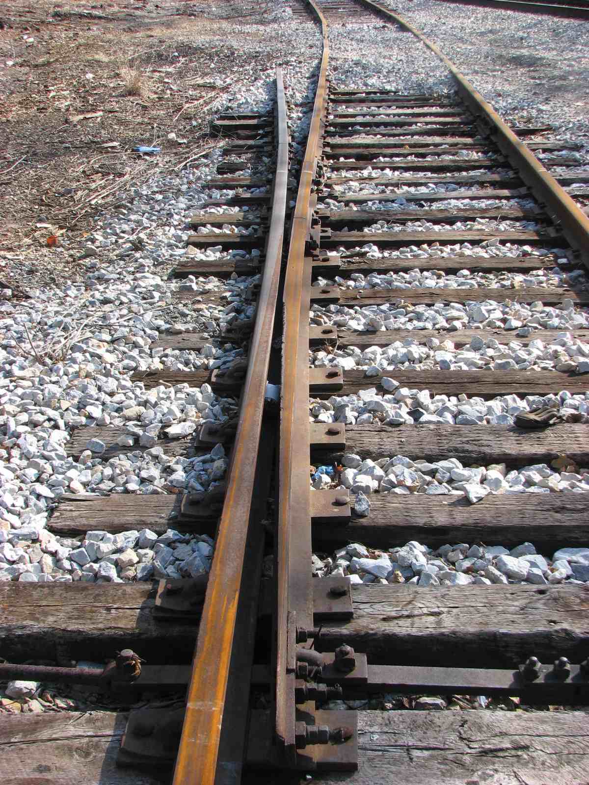
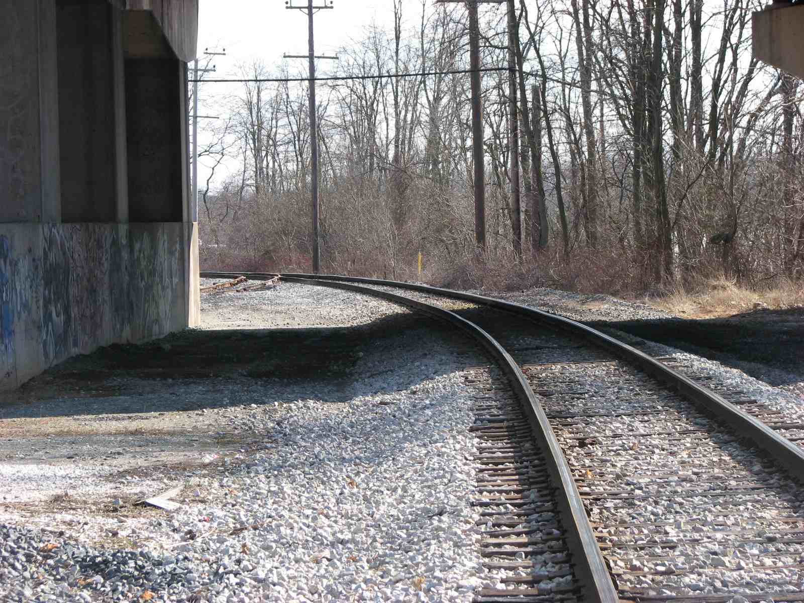
 Looking north where the siding splits off.
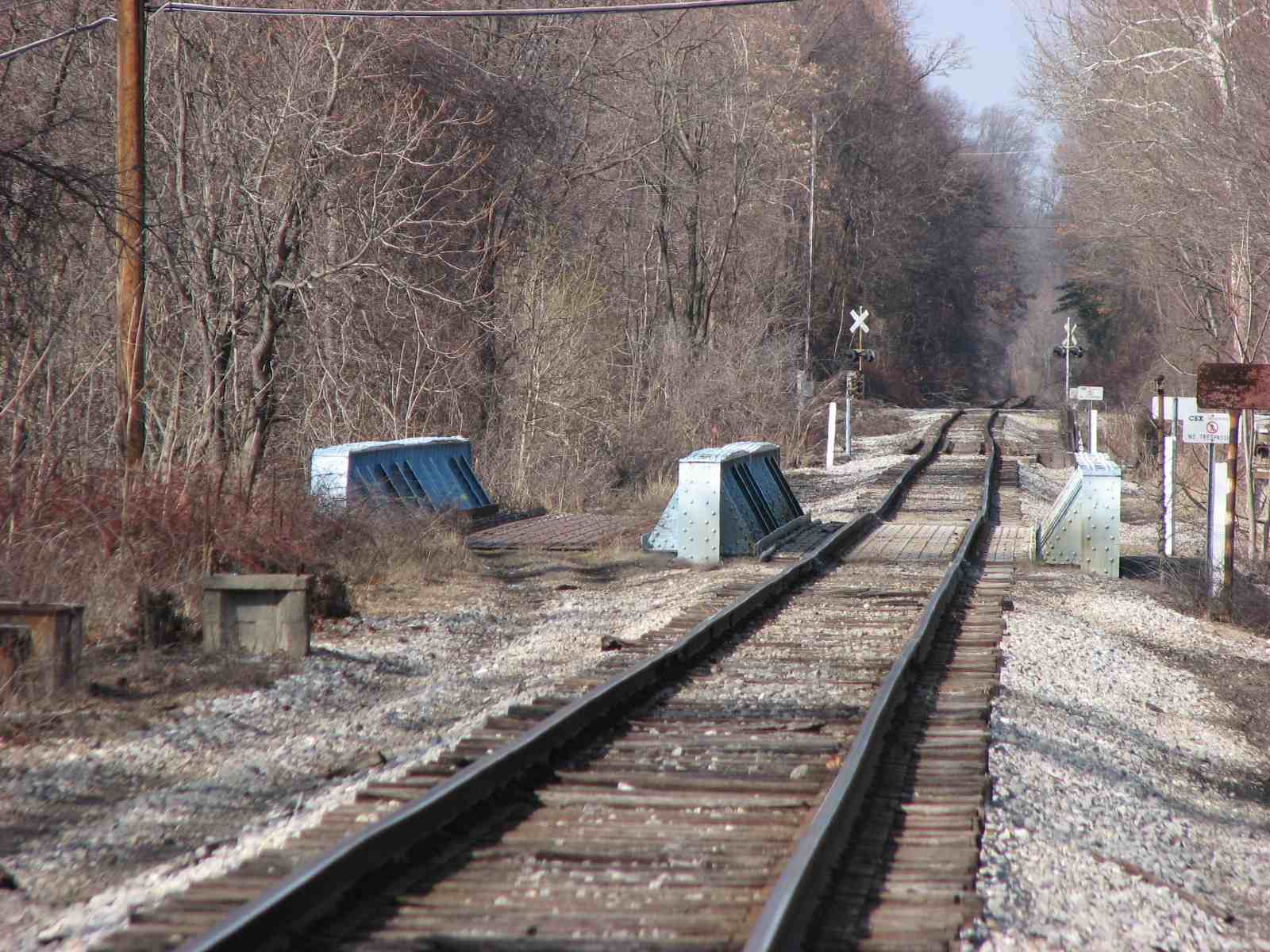
Looking NB on the mainline with the Groff Lane crossing (formerly Bonita Ave) in
the distance, there used to be a set of signal halfway to the crossing.
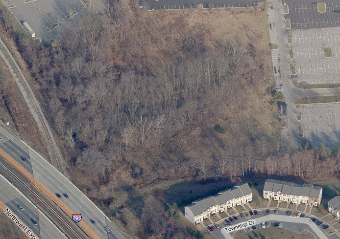
5 Green Spring Branch Junction
No evidence of the Green Spring Branch can be seen in this aerial shot, where it used to join into the old Western Maryland mainline. There are a few reminders of the Green Spring Branch still around east of here.... some are on Map 1 and around Lake Roland. My page for the Green Spring Branch is here
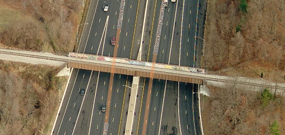
6
the Beltway Bridge
This a pretty neat spot to catch a train, although in the 40+
years I have been driving, I have probably only happened on a train here twice.
Train times vary, but CSX sends a NB freight up this way around 6pm.
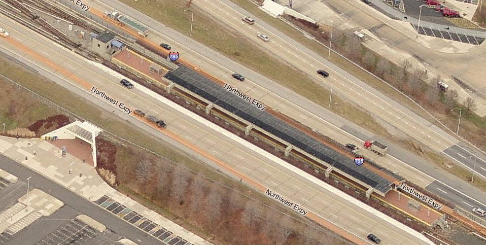
Metro/Subway - Station by Station
Just as MAP 1 has the north end of the Light Rail system, this map has the northern end of the Baltimore/MTA Subway/Metro system. There are only two stations on this map. For the most part, it is what I consider a "commuter railroad" for these two stops, since the tracks run up the middle of the interstate I-795. This also makes it really difficult to get anywhere from the last station to anything in the area because it is so isolated. Easy to build, pretty much useless for the "masses", requiring another mode of transit or your car to use these stations.
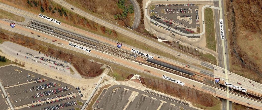
7
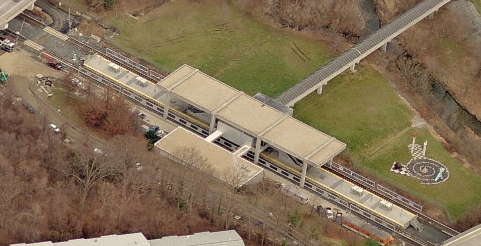
the Owings Mills
Metro Station
This is the last station on the northern end of the system,
and the only one "outside" the Beltway. It is more of a commuter railroad
at this point, accessible only by car or bus, unless you want to walk a really,
really
long ways to get here.
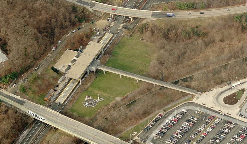
8
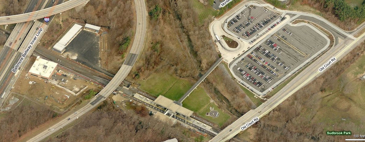
The Old Court Road
Metro Station
This is the last station on the "inside" the Beltway. It
is unique among the stations because of the pretty cool walkway you have to
traverse in order to get to the station. Again, it is almost a commuter
railroad at this point because it isn't very close to all but a few residents
along Old Court Rd. A "new" MOW facility was built here maybe around the
2004-2005 timeframe, and is between the station and the Beltway. There is
a crossing signal that flashes all the time, whether a train is approaching or
not (you can easily see it at night when passing by on the inner loop).
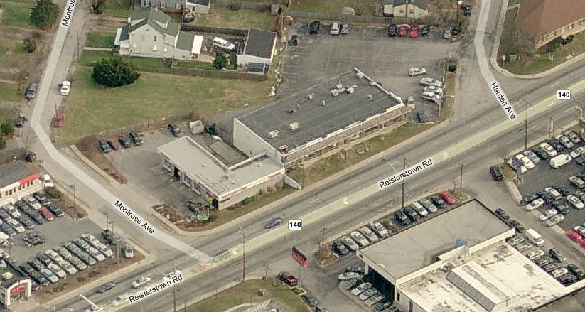
3 Baltimore County Police Precinct 3 - Franklin
This precinct was formerly known as Garrison - it was
changed in 2006. It opened in 1965.
More history of the Baltimore County Police Dept at:
http://www.baltimorecountymd.gov/Agencies/police/history.html
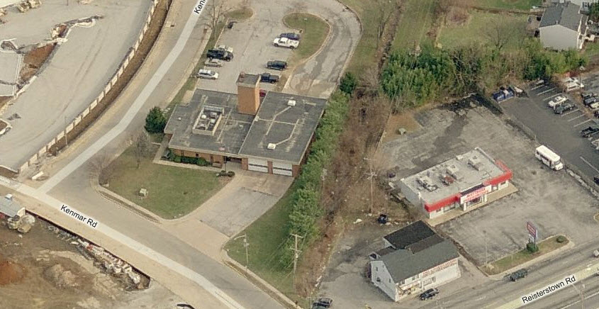
4 Baltimore County Police Precinct 3 - Pikesville
A new precinct opened for business in 2006.
19
Baltimore
County Fire Station 19 - Garrison
This is the only paid station on the map, all of the others
are volunteer.
400
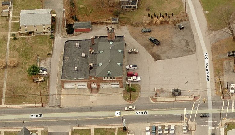
Glyndon Volunteer Fire Company, Station 400
410
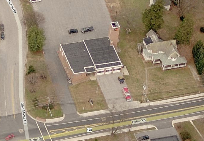
Reisterstown Volunteer Fire Company,
Station 410
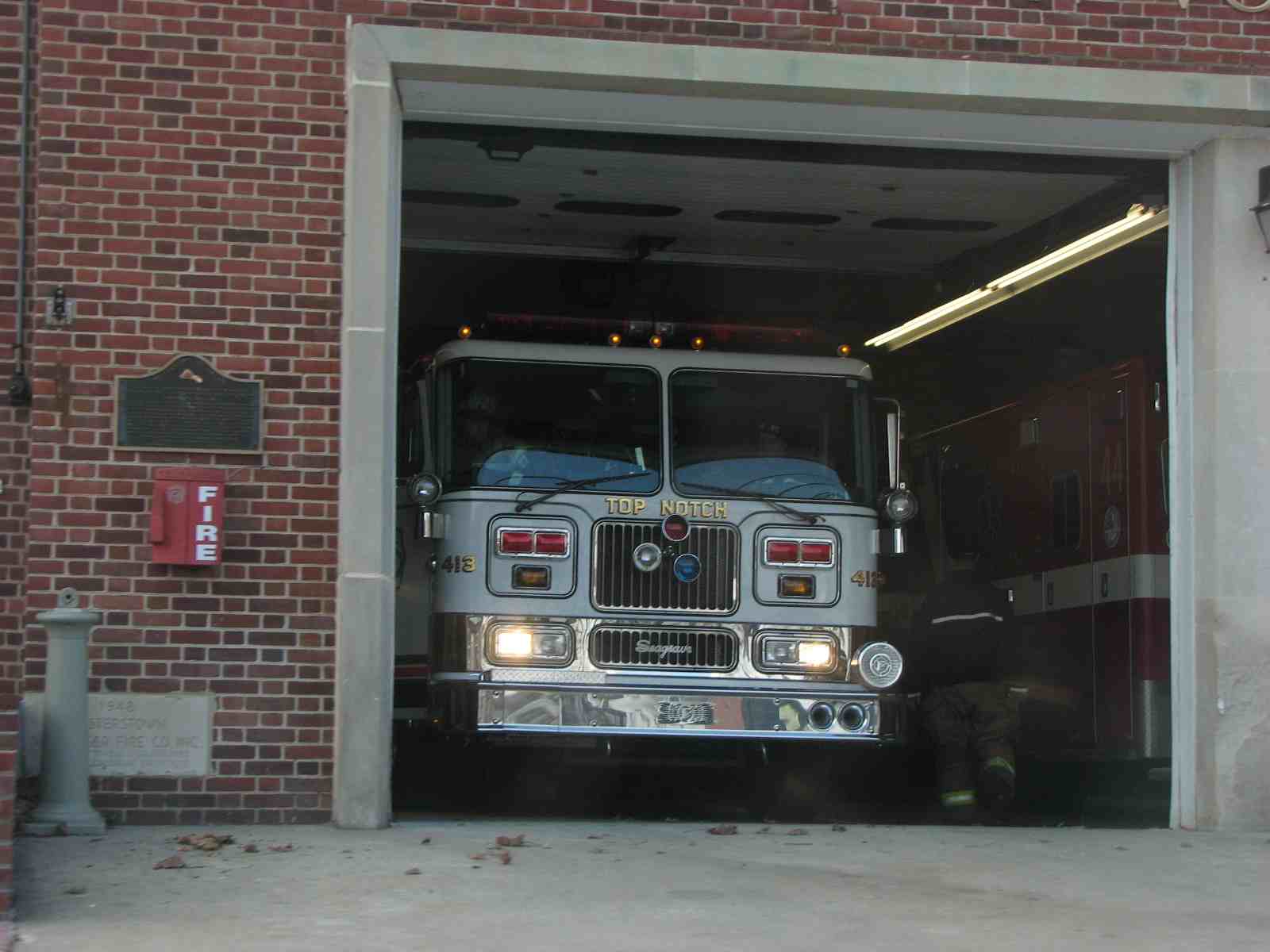 Engine 413, nicknamed "Top Notch".
310
Owings Mills Volunteer Fire Company,
Station 310
This is the second newest fire house of the five on this map,
maybe being 10 years old or so. The old station was a small affair almost
under where the CSX goes over Reisterstown Rd.
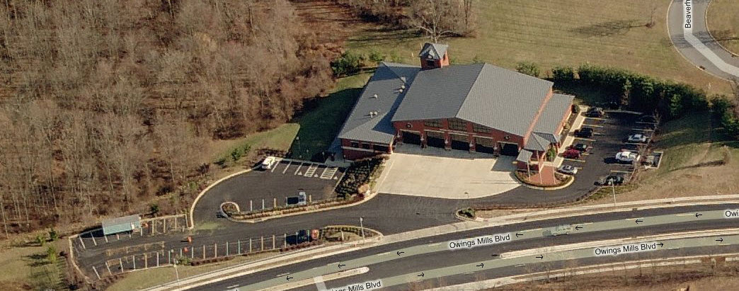
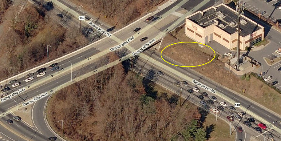
Believe it or not, the old fire house used to be perched where
the yellow circle is, hard to believe.
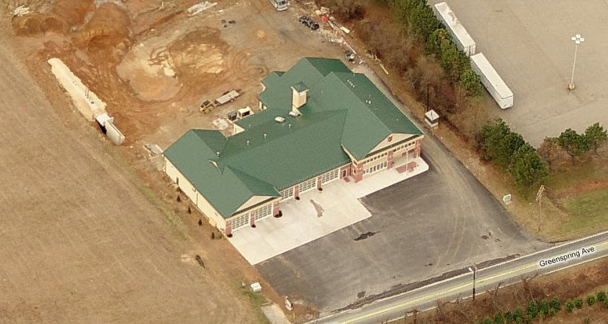
500
Chestnut Ridge Volunteer Fire Company,
Station 500
Newest of the volunteer fire stations on this map, it's kinda
out of the way, being on Greenspring Ave in the middle of no-where.
NEW 09/11/2007
Last Modified:
10/02/2013