
RAILFAN GUIDES of the U.S.
Todd's Railfan
Guide to
BALTIMORE MD
the
North Suburbs in Baltimore County
Ruxton, Riderwood, Lutherville, Timonium, Texas, Cockeysville, and Hunt Valley
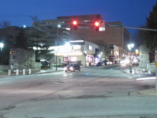
In General
Sights
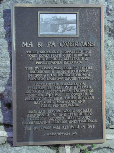
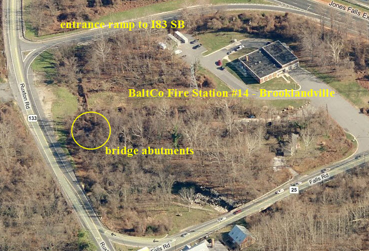
the Greenspring Branch
Station by Station
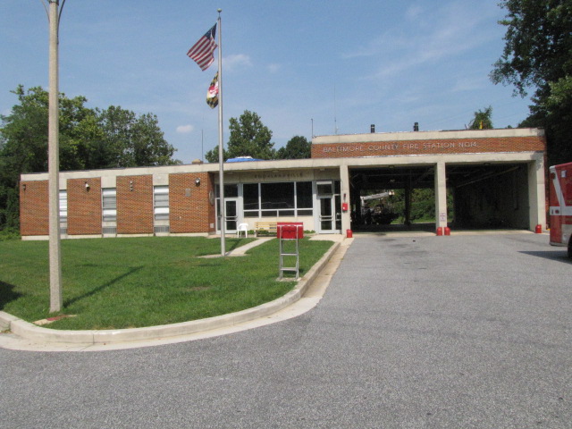
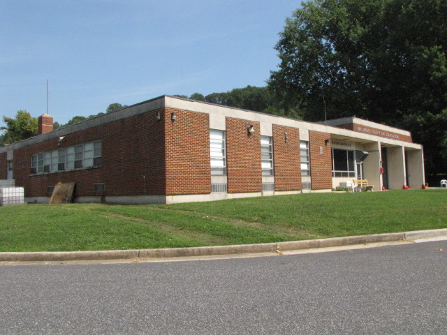
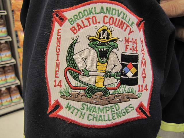
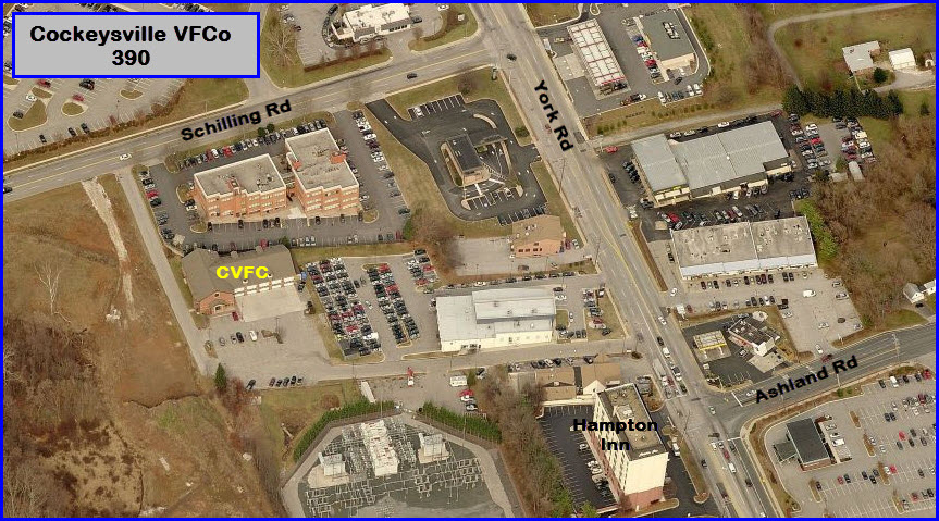
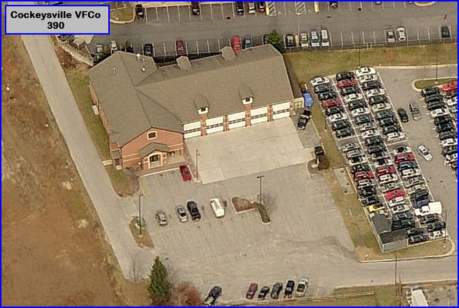
Fire and Police
Floobydust
USGS Maps
Guide Home Maps Hiways Hotels Intro Railroad Sights Links Photos Busses Bio's
There's lots to check out and see, as this part of Baltimore happens to be blessed with quite a variety of railroad "things".
The second railroad of
Baltimore, the Baltimore and Susquehanna, came through here in 1831-32 heading to York and
Harrisburg. The railroad was re-organized as the Northern Central Rwy
after a really bad accident in Ruxton/Riderwood killed 35 people, and the B&S
was prompted to reorganize in order to stave off bankruptcy. The B&S also built the
Green Spring Branch, which the
Western
Maryland used in the beginning before they had their own route out of the city.
They built this route as an alternate way out of Baltimore when the state of
Pennsylvania denied the Northern Central access to entering York County.
The R-O-W was double tracked and signaled by WW1. Going thru Ruxton and
Riderwood, the line had three tracks. Local passenger service,
known as the Parkton Local, was discontinued in 1959. Soon after, the line
reverted to a single track with passing sidings.
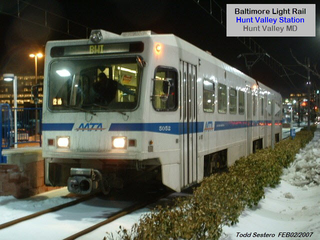
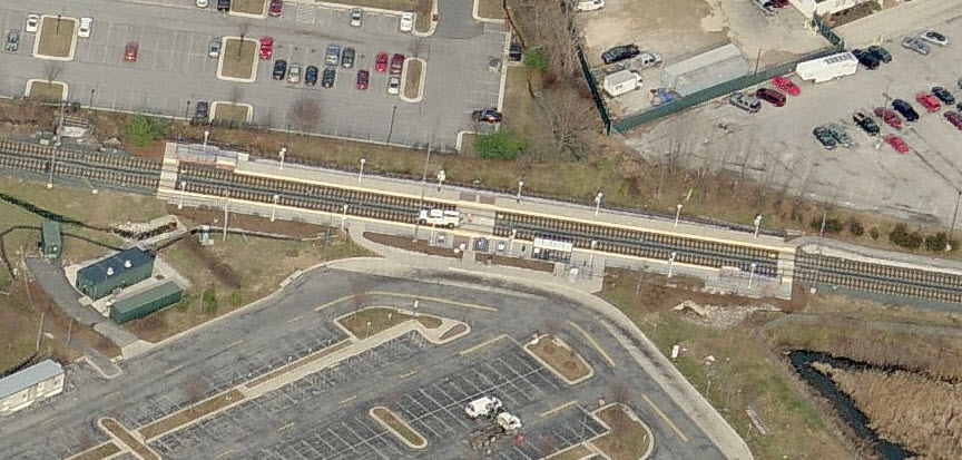
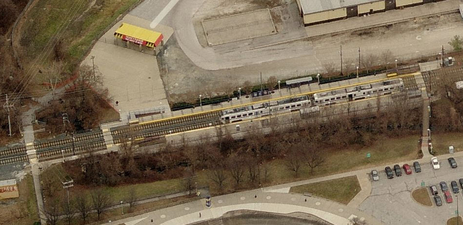
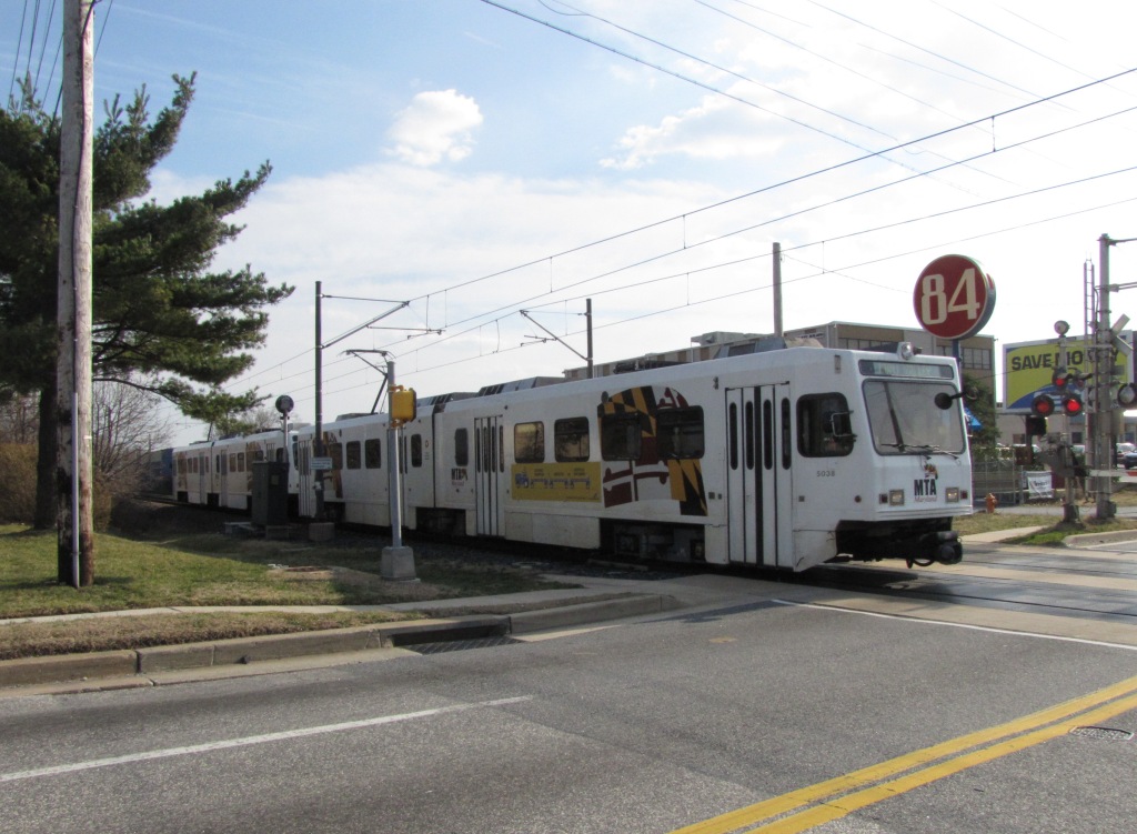
The northern part of the light rail system
runs right up the middle of the map, which was the original right-of-way of the Northern
Central. The original section which opened in
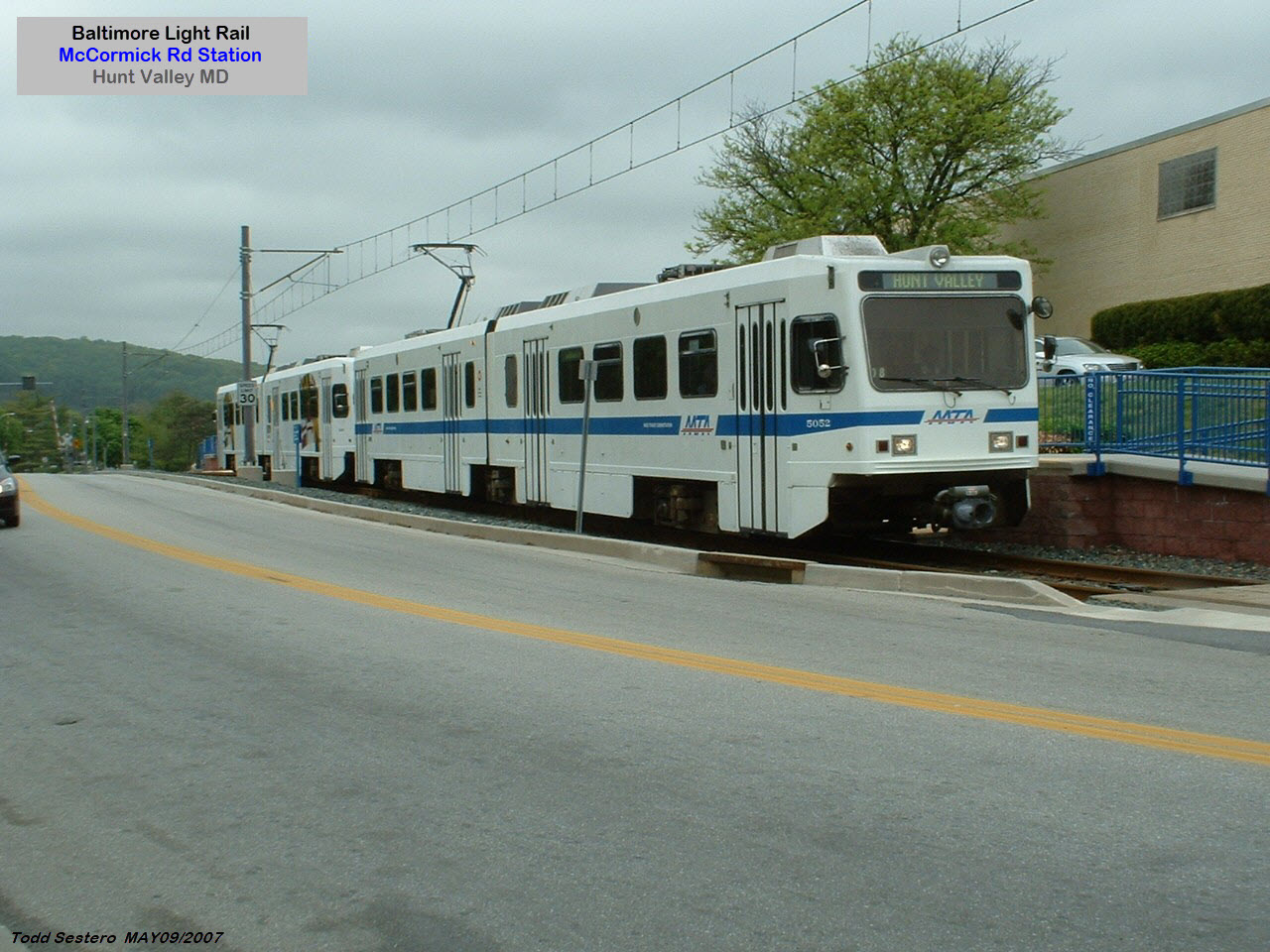
1990 and went as far north as Timonium. The extension opened to Hunt Valley in
September of 1997.
Any part of it that wasn't, was double tracked in 2005, and the old marble ties (stringers) were
visible along the R-O-W. Above Cockeysville, the R-O-W is now the NC
hikey-bikey Trail, which is very popular. The R-O-W
splits off at Warren Rd, and other than the stub that is still there, not much
remains visible. NS trains stopped running when the light rail closed the
track for the double tracking project at the beginning of 2005. They
applied for abandonment shortly thereafter.
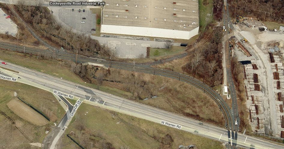
It's kind of funny how, with the advent of light rail service, that the main line and siding functions of the track in Cockeysville reversed roles. What is now the light rail's main line at Warren Road, used to be an industrial siding, servicing business' in Cockeysville and the Hunt Valley Industrial Park. What used to be the Pennsy main line, became the siding. The line became a local line after hurricane Agnes in September of 1972 and washed out many bridges and trackage north of Cockeysville where it followed the river. The track went up to the freight shed for many years, then when the MTA took over, ended the line just shy of Cockeysville Rd. Today, the track goes up far enough to make a usable wye, and you can barely see where the tracks were from Cockeysville Road. Prior to the end of freight service, you could find a Norfolk Southern or Conrail engine, and maybe a few cars sitting north of Warren Road because they couldn't make it back to the interchange track back at the light rail shops before the start of service.
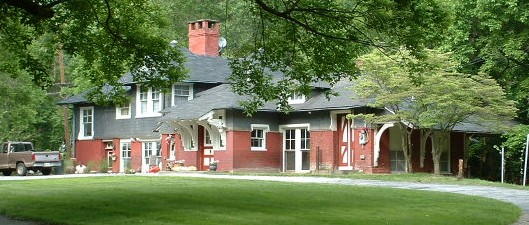
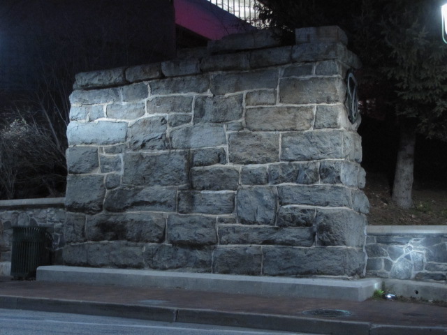
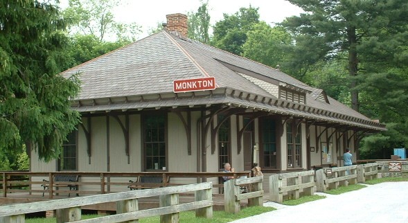
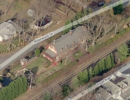
Several old NC/PRR depots are still around to check out - Riderwood (about a quarter of a mile down the tracks from me), Lutherville, Greenspring, Stevenson, and Monkton. Three of them are used as homes, and anyone wishing to take pictures of them should respect the privacy of the homeowners! Monkton serves as the HQ for the Rail/Trail.
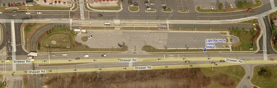
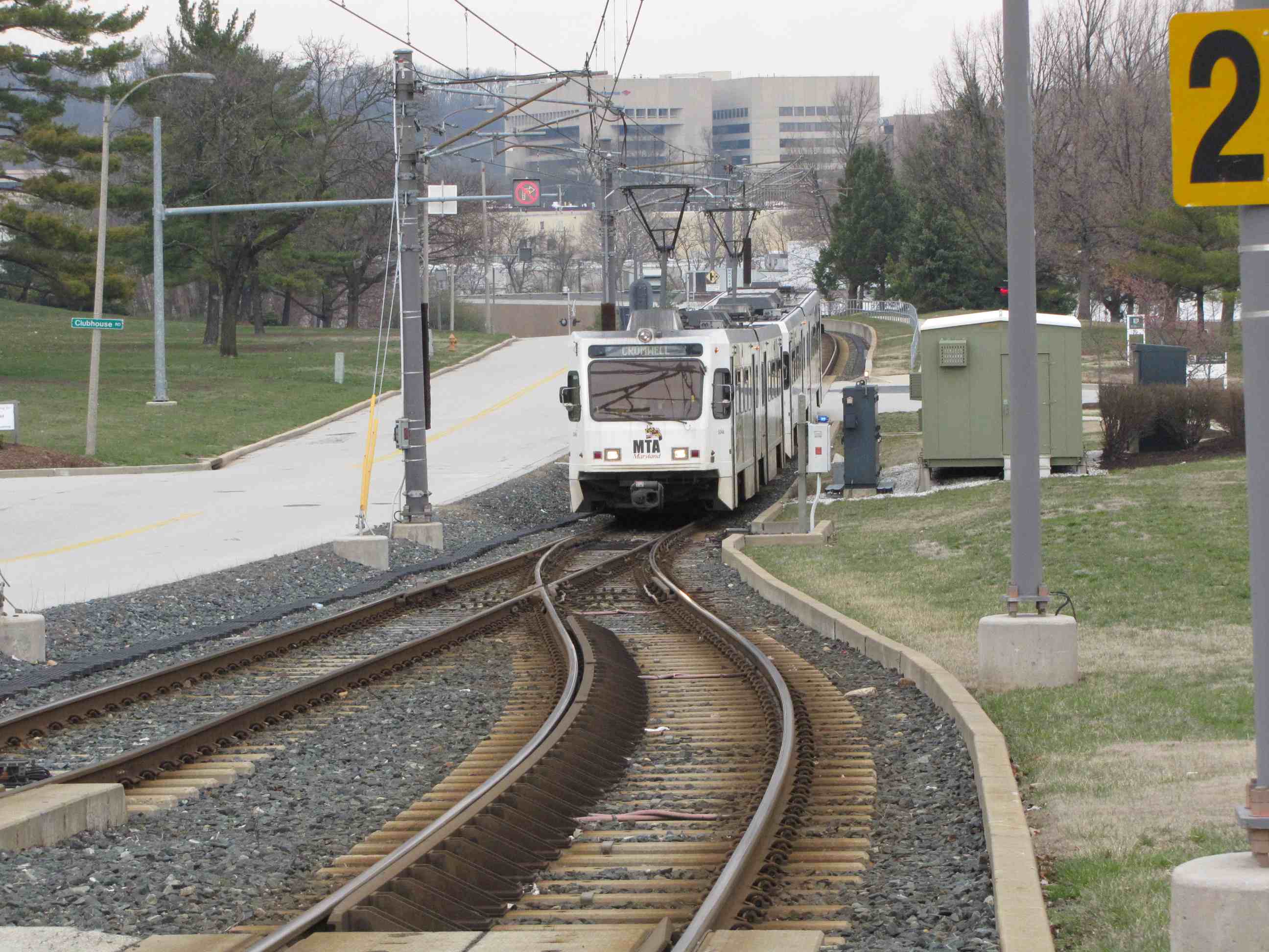
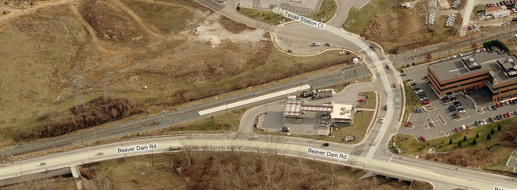
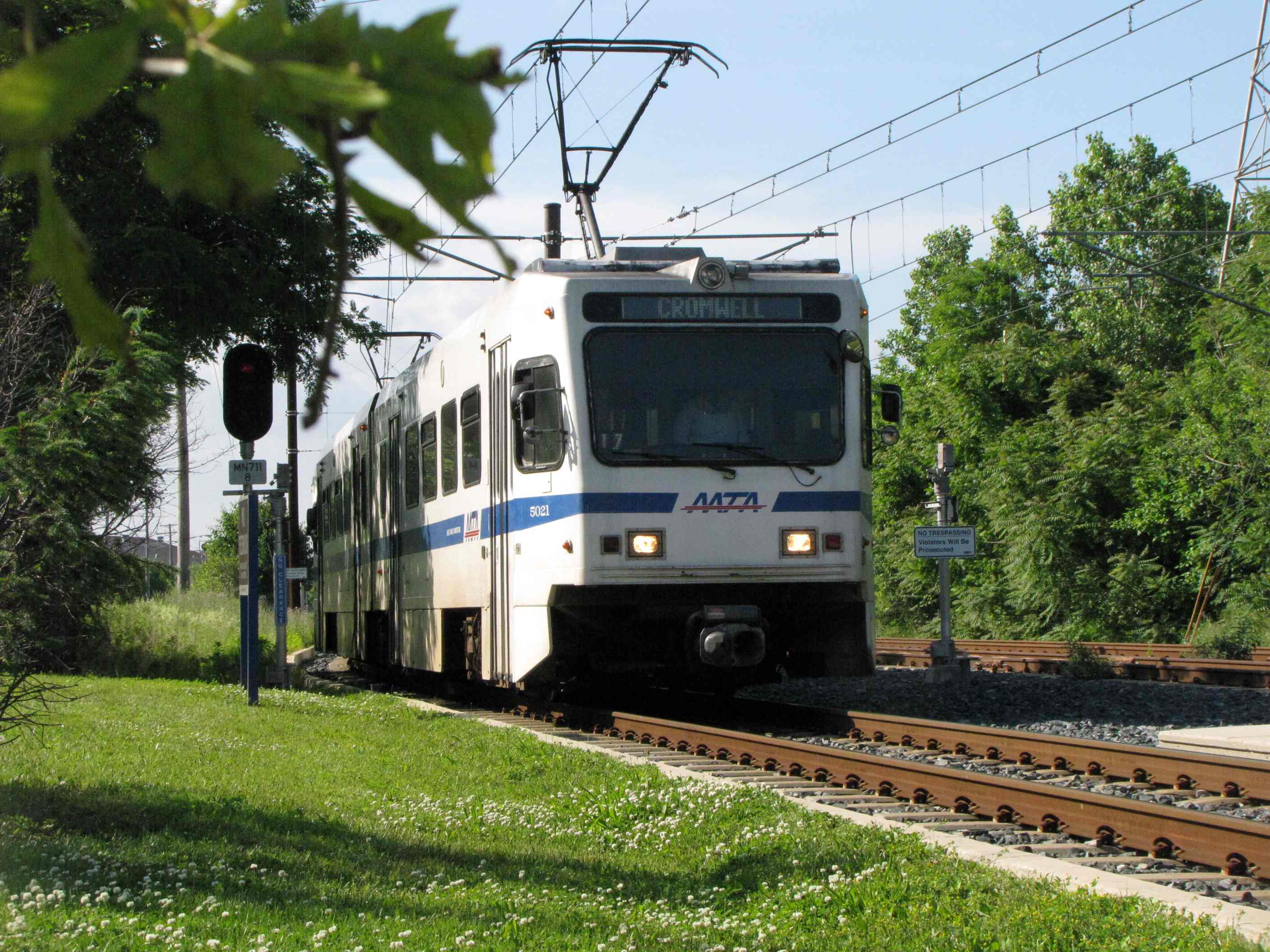
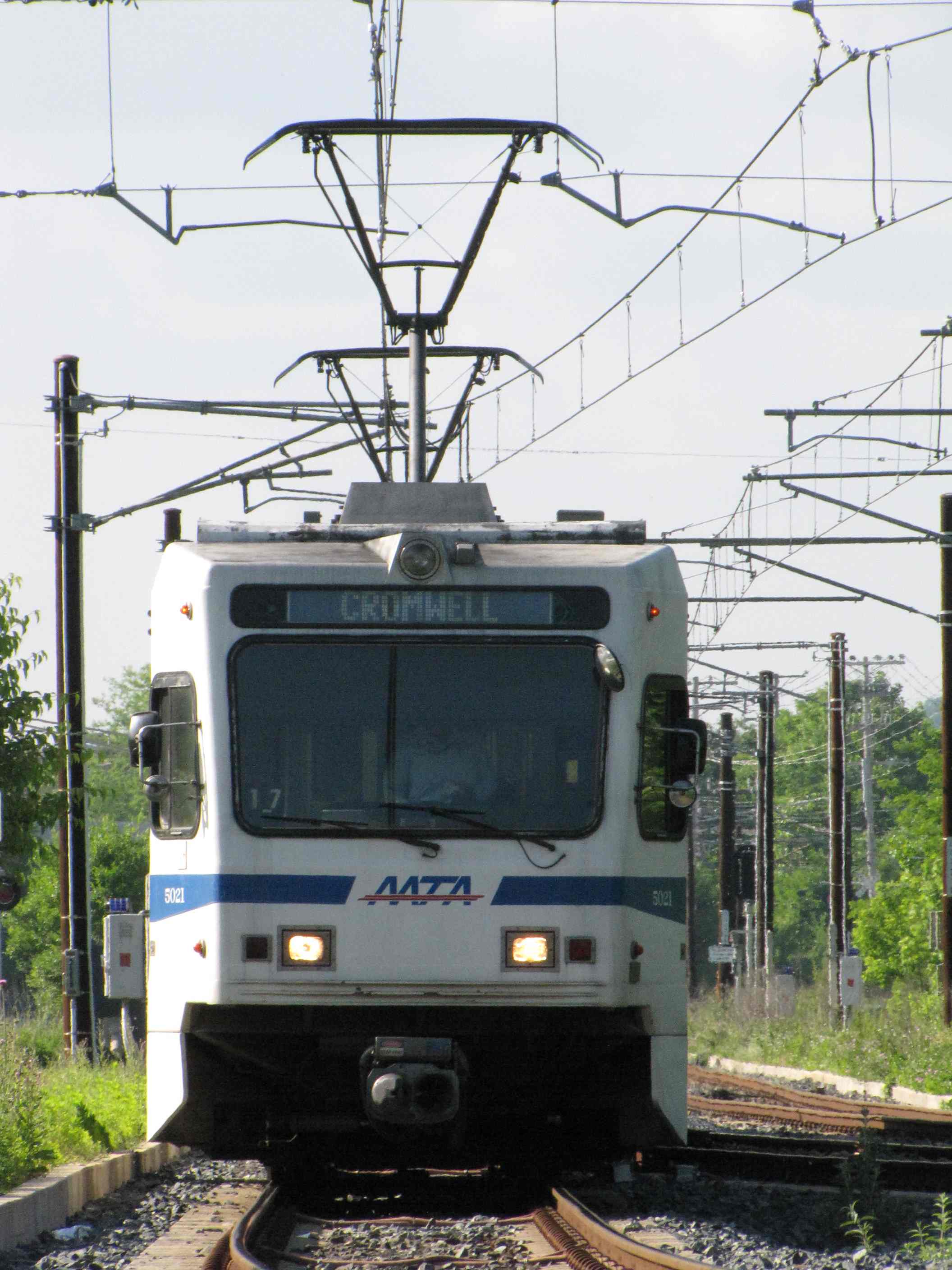
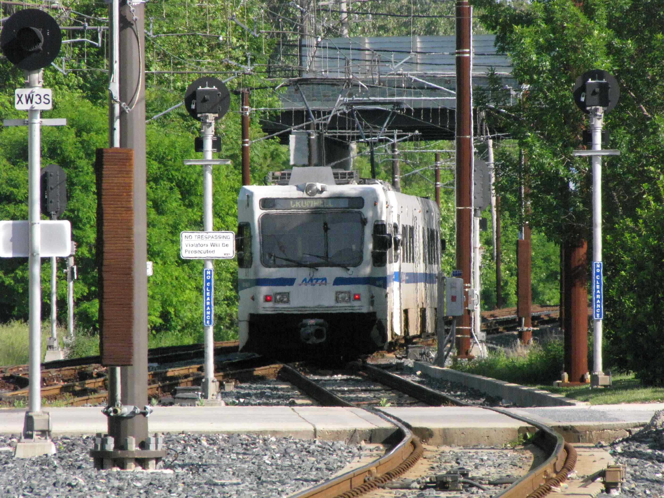
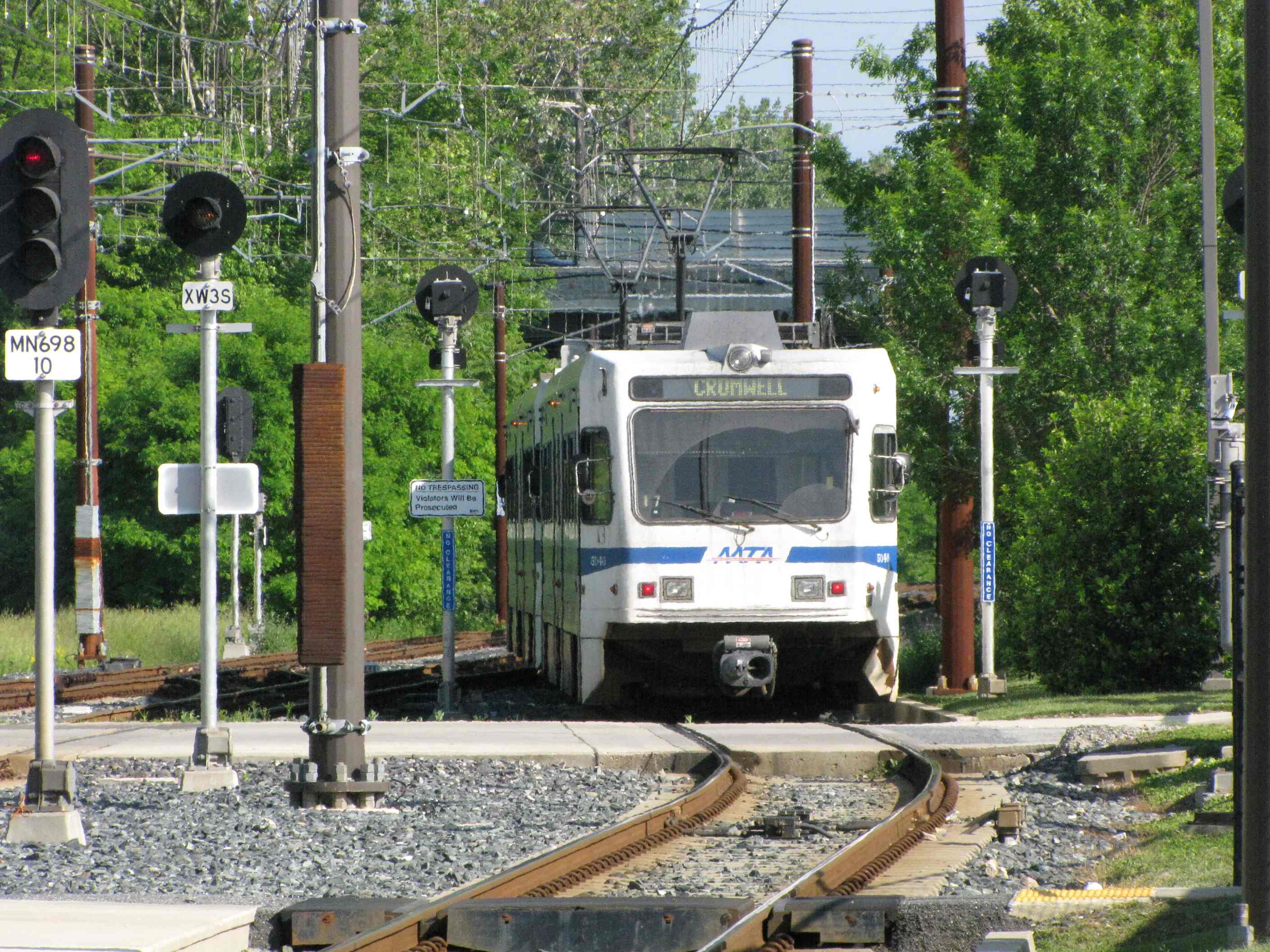
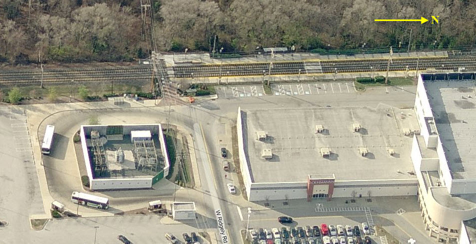
Just north of Padonia Road, across from the Lowe's, the Glen Burnie/Cromwell trains "turn around". During the double-tracking project, the MTA put in this really nice pocket track station like arrangement (like Camden Station), and the turn-arounds wait in the pocket track.
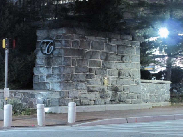
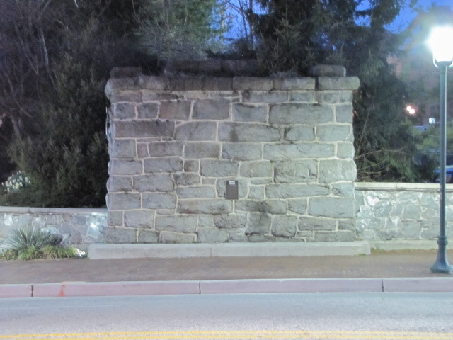
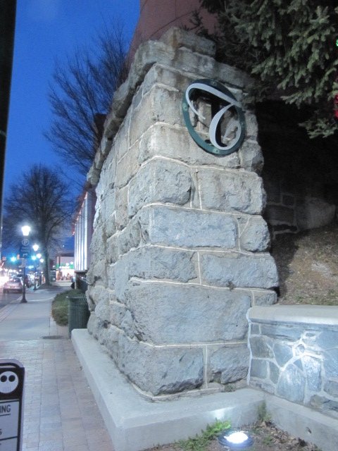
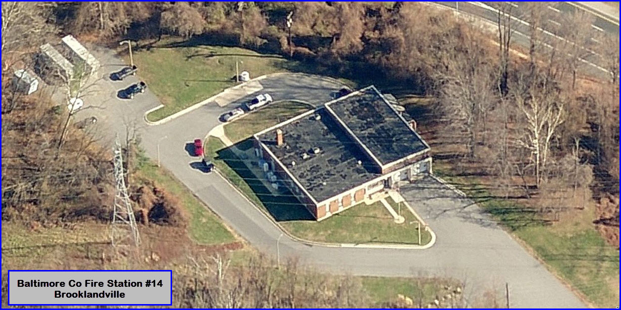
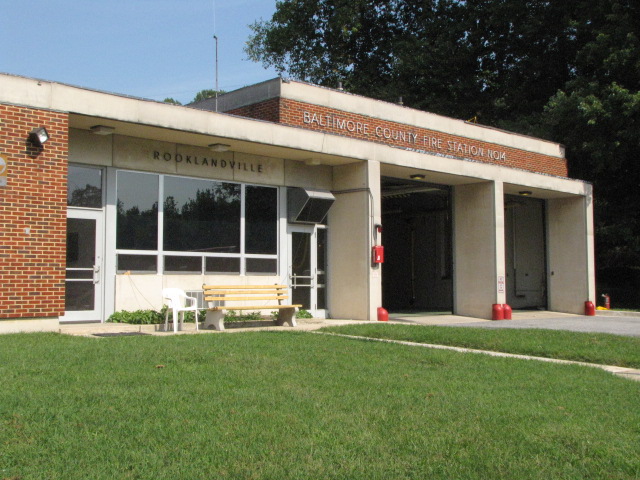
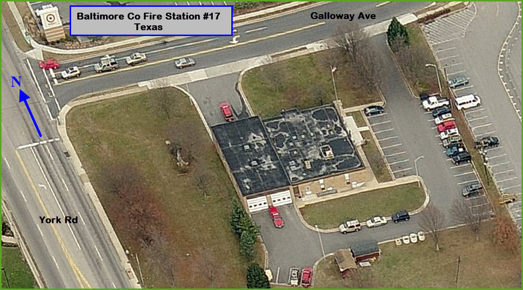
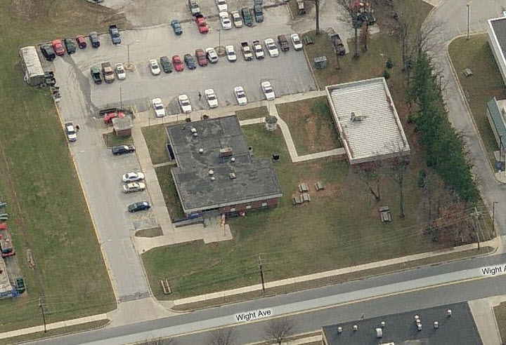
Towson is the Baltimore County seat, and as
such, has both the police and fire department headquarters in the town center.
There are 4 paid stations, 3 volunteer stations, and 2 precincts on the map, in
addition to the Fire Museum of Maryland in Lutherville.

4
ex PRR Lutherville
Station
GPS Coordinates: 39.42411, -76.62941

5
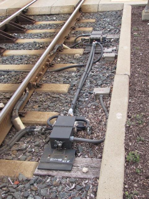
NC Marble Ties
GPS Coordinates: 39.46542, -76.64405 (south of Industry Lane)
GPS Coordinates: 39.45309, -76.63739 (south of Padonia Rd)
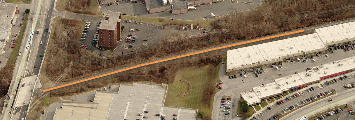
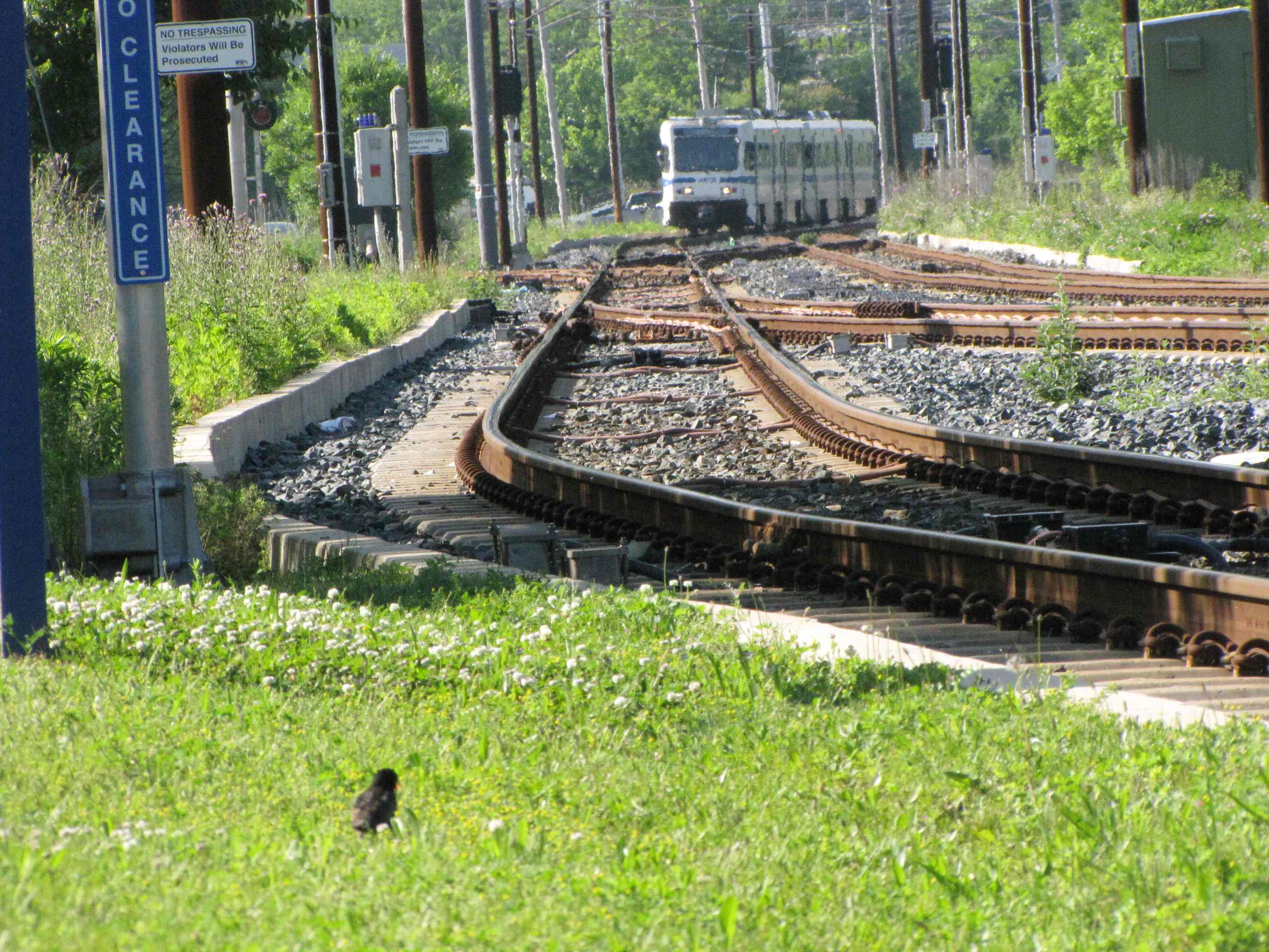
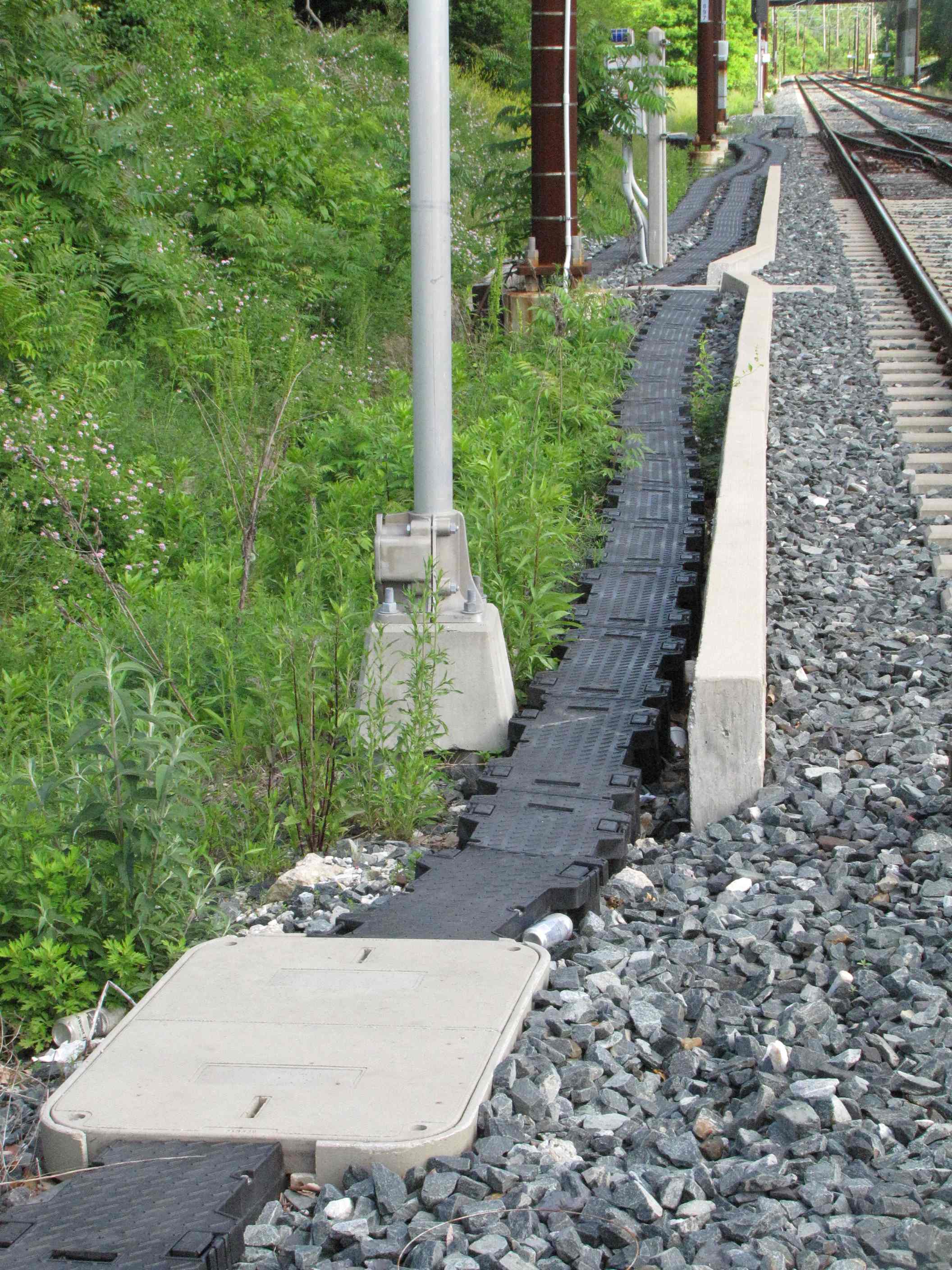
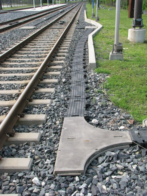
These fine examples of marble railroad ties date back to when
the Northern Central was heading north out of Baltimore in the 1834 time frame.
When the MTA Light Rail was double tracking the northern section in 2005, they
"uncovered" many of the ones still left in the old right-of-way. There
were two sections that we saw, one was under Padonia Road going several hundred
feet to the south, the other section was at Industry Lane. I tried like a
bandit to get some of them saved, but neither the MTA nor the Maryland
Historical Trust wanted to do so, stating that they should be preserved for the
future when "we" will know more about discovering their secrets. The
letter I received also asked me if I knew anything about extracting historical
artifacts out of the ground without damaging them, but a couple of days after I
received that letter, people doing the R-O-W worked came along and scraped the
top of several dozen of them while clearing the way for the new track - so much
for the state being good guardians of our past. So, they all got buried
and none of us will ever see them again :-(
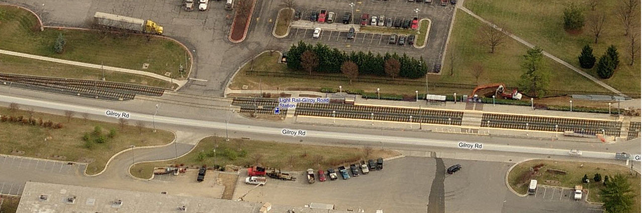
The two aerial shots below show where the stones were uncovered and could easily be seen during 2005.

I gave the Greenspring Branch its own page: https://railfanguides.us/baltimore/greenspring/index.htm
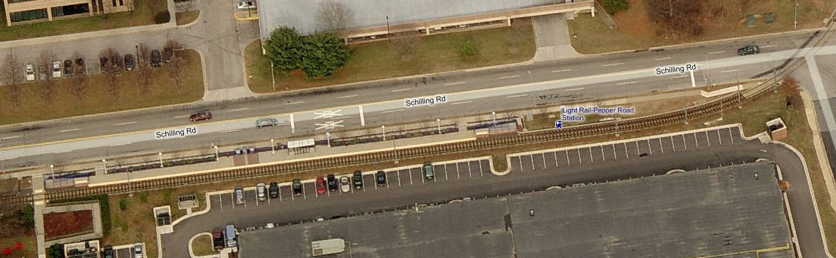
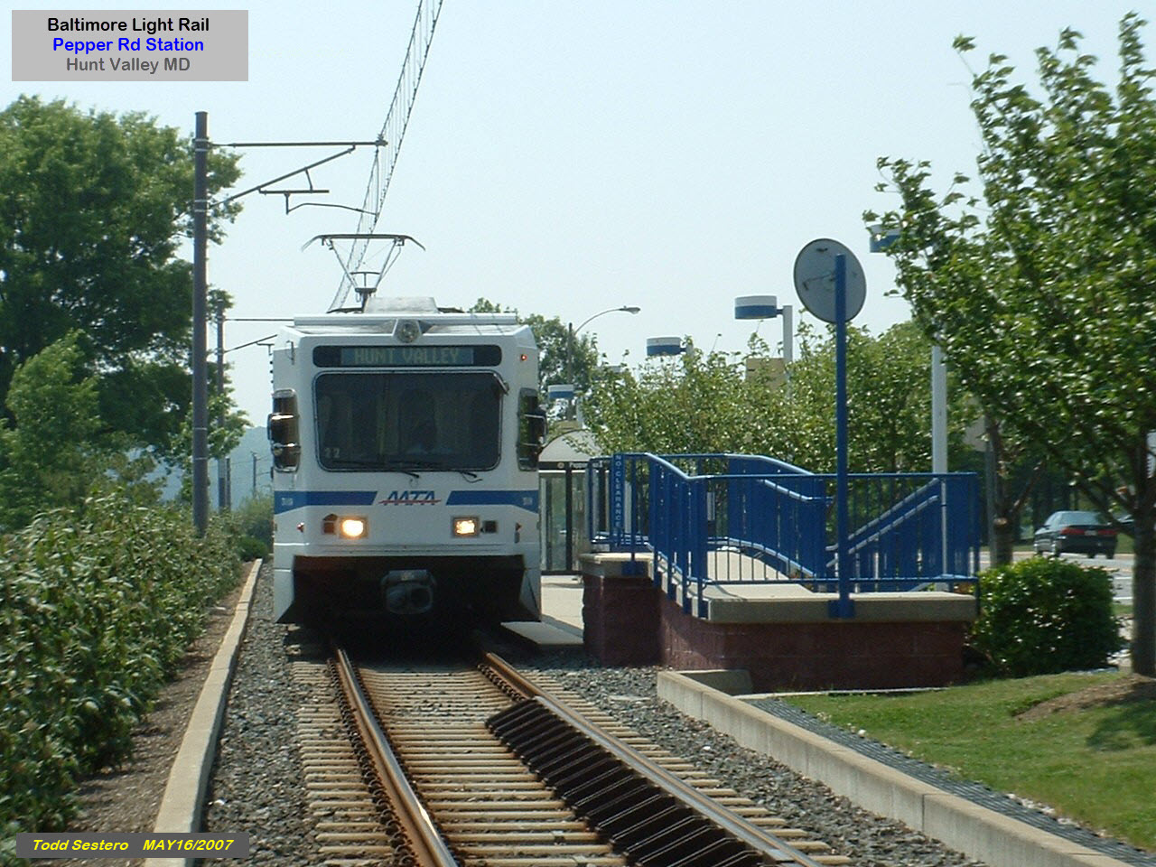
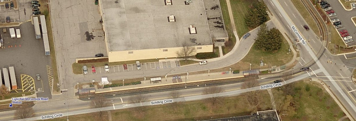
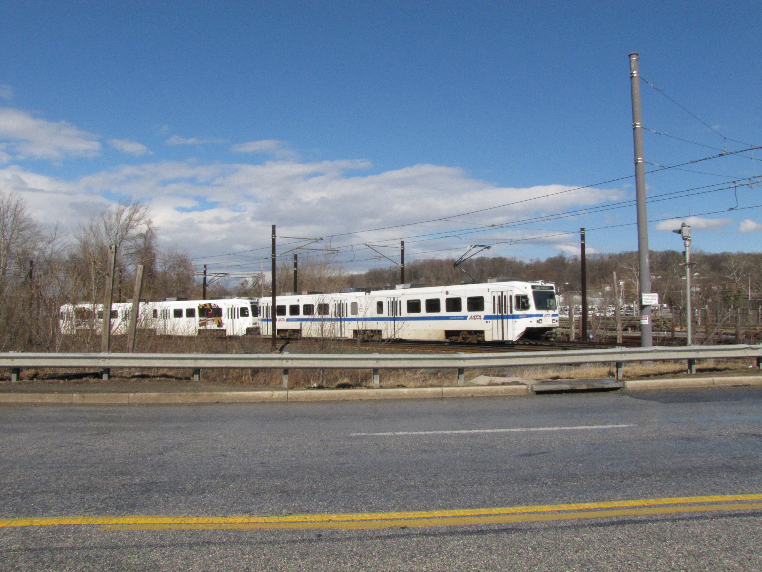
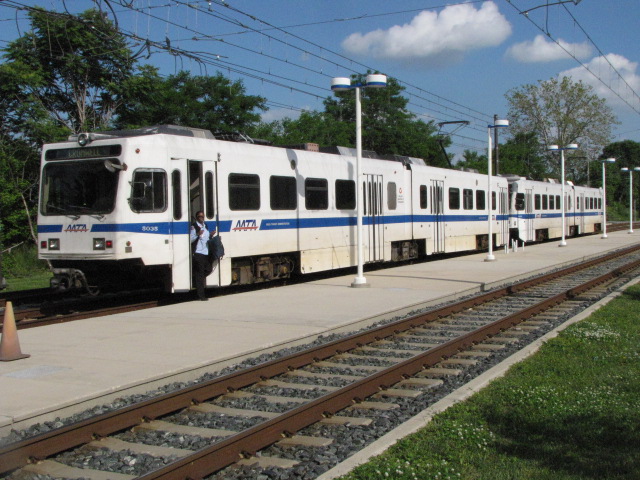
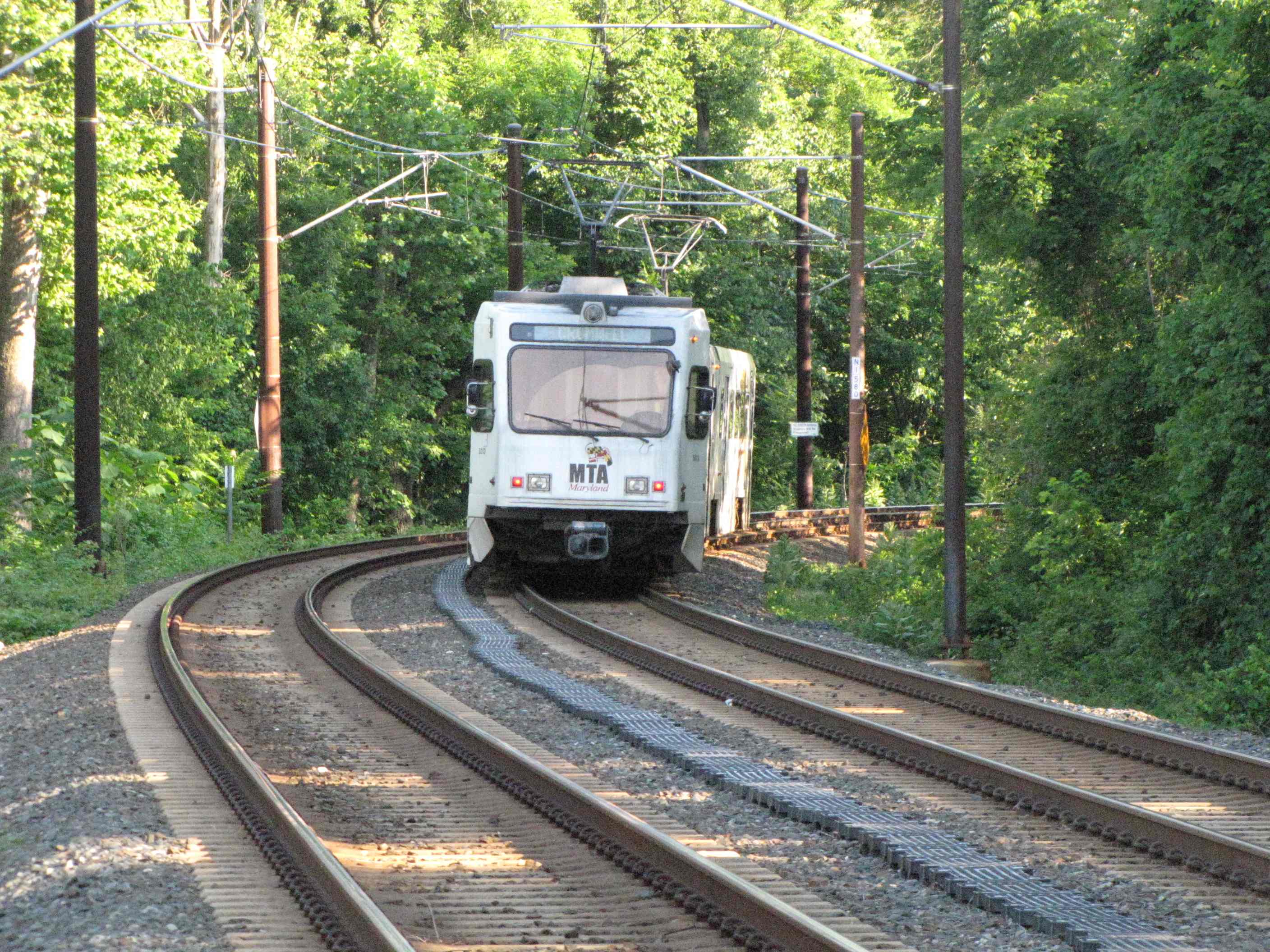
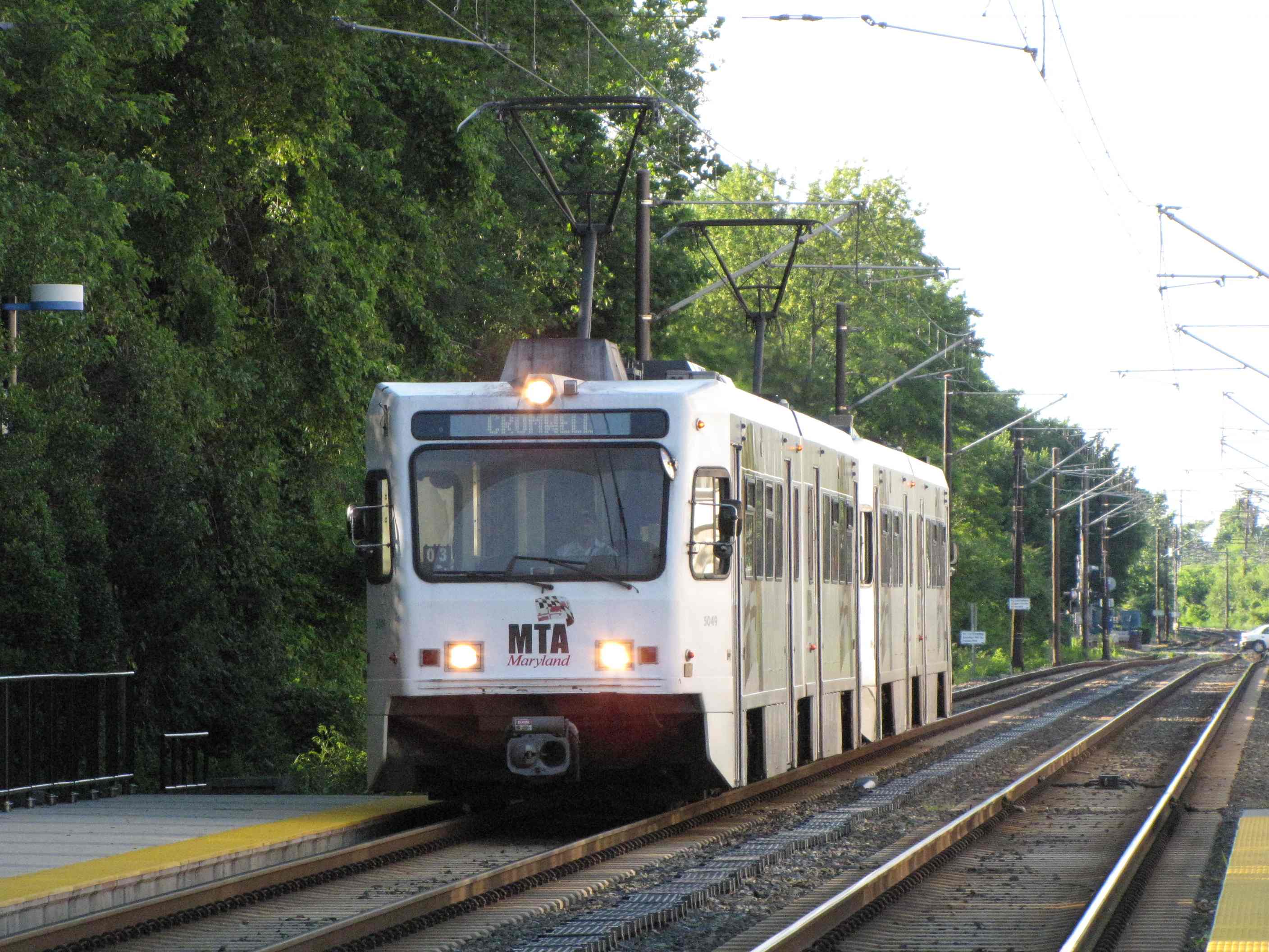
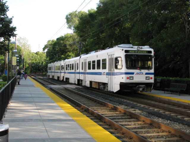
Light Rail - Station by Station
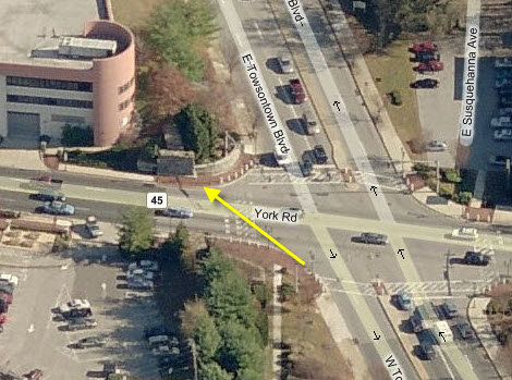
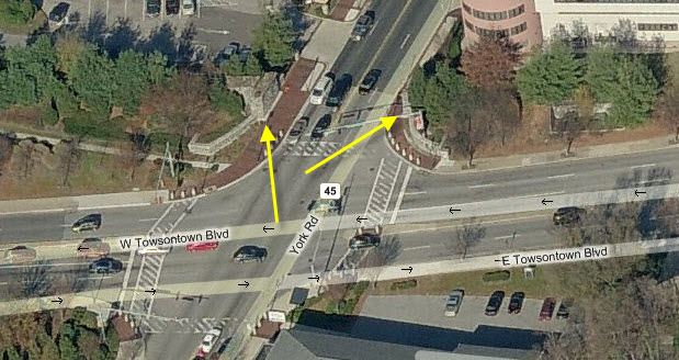
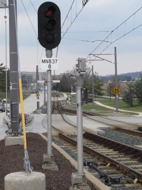
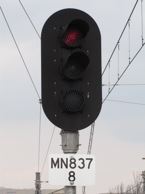
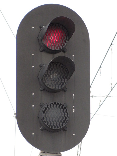
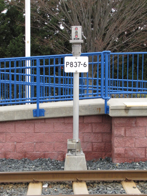
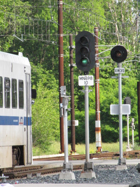
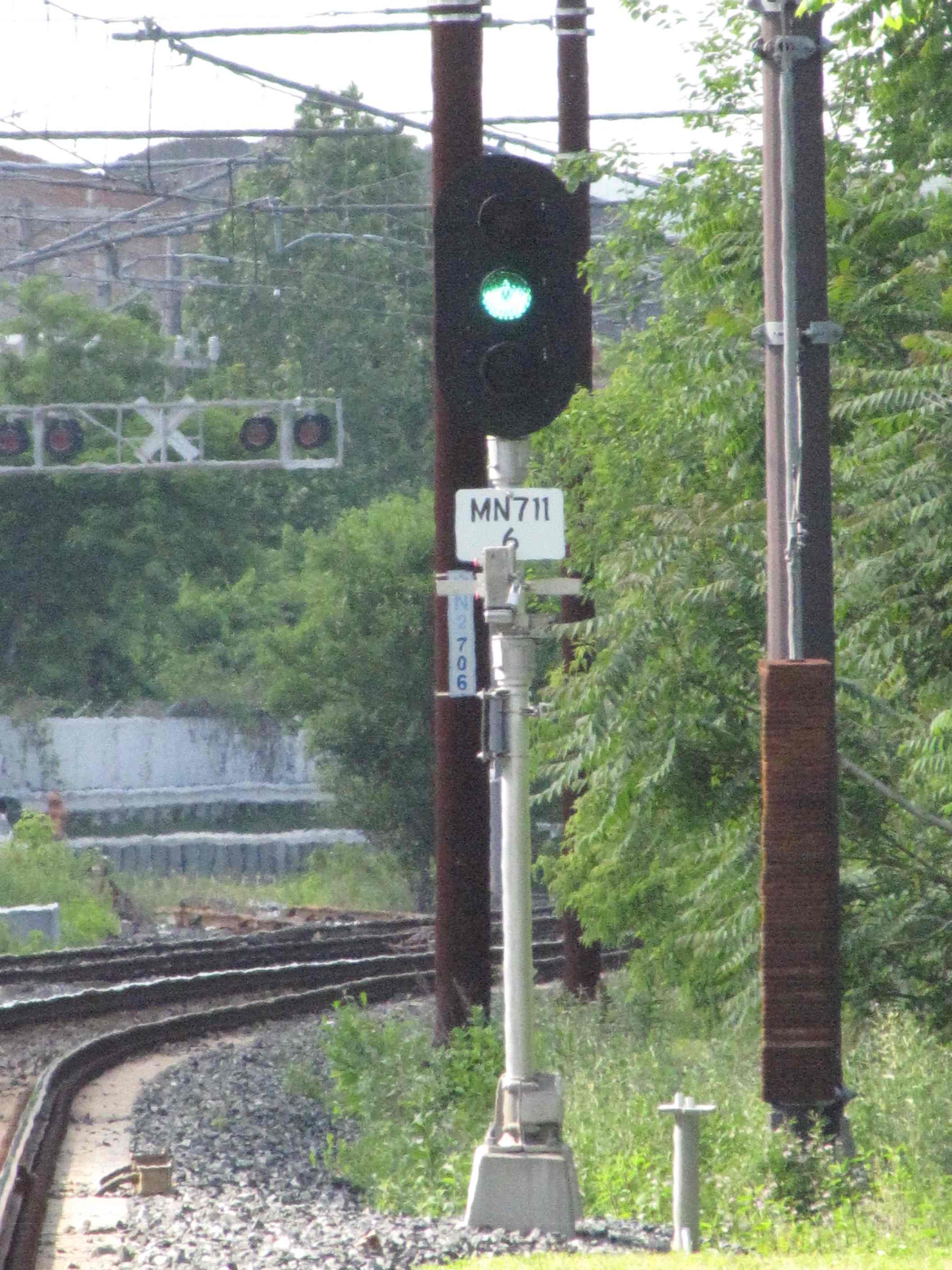
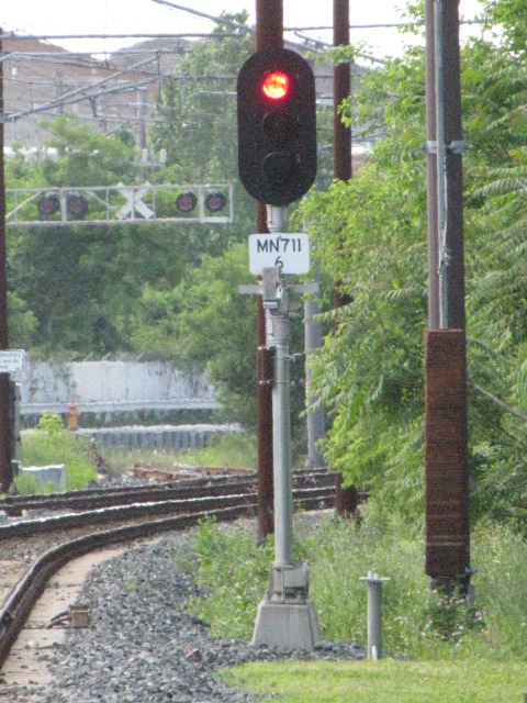
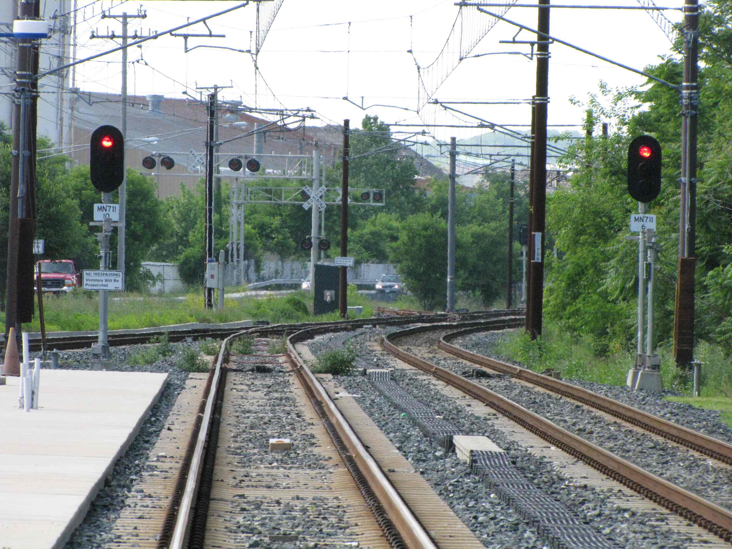
The NB signal for trains heading to Hunt Valley is fairly unique in that it only displays two aspects as seen below. Signals like this also show up at the Timonium turn around.
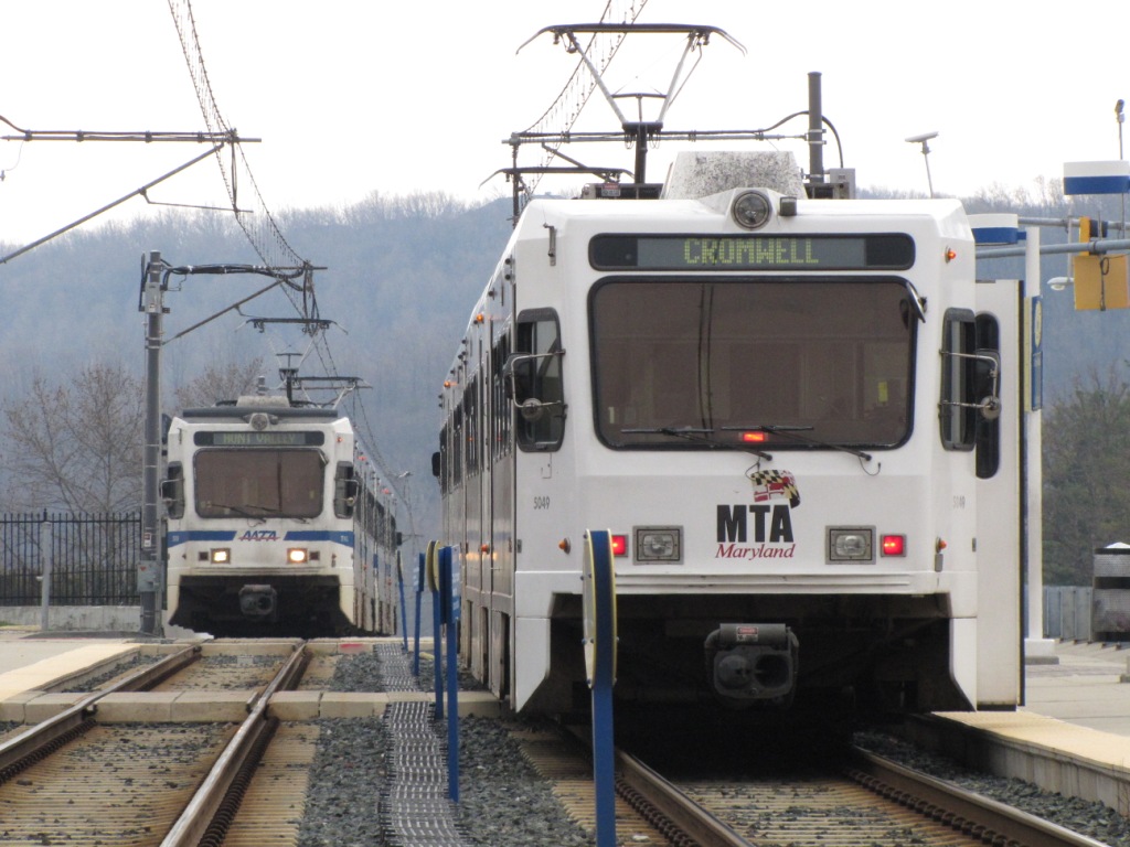
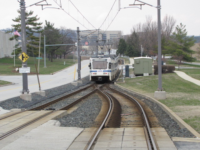
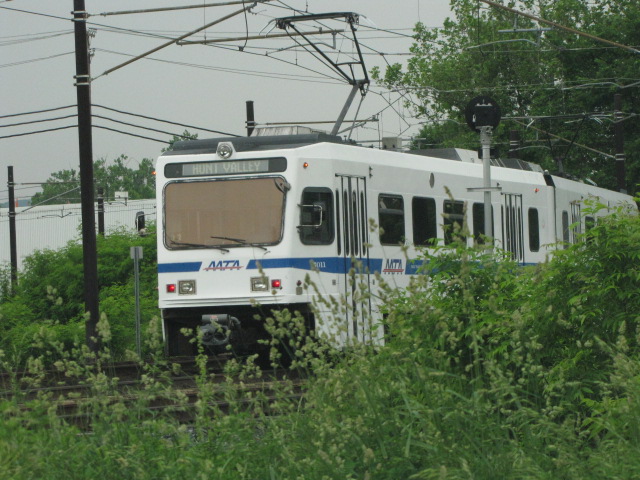
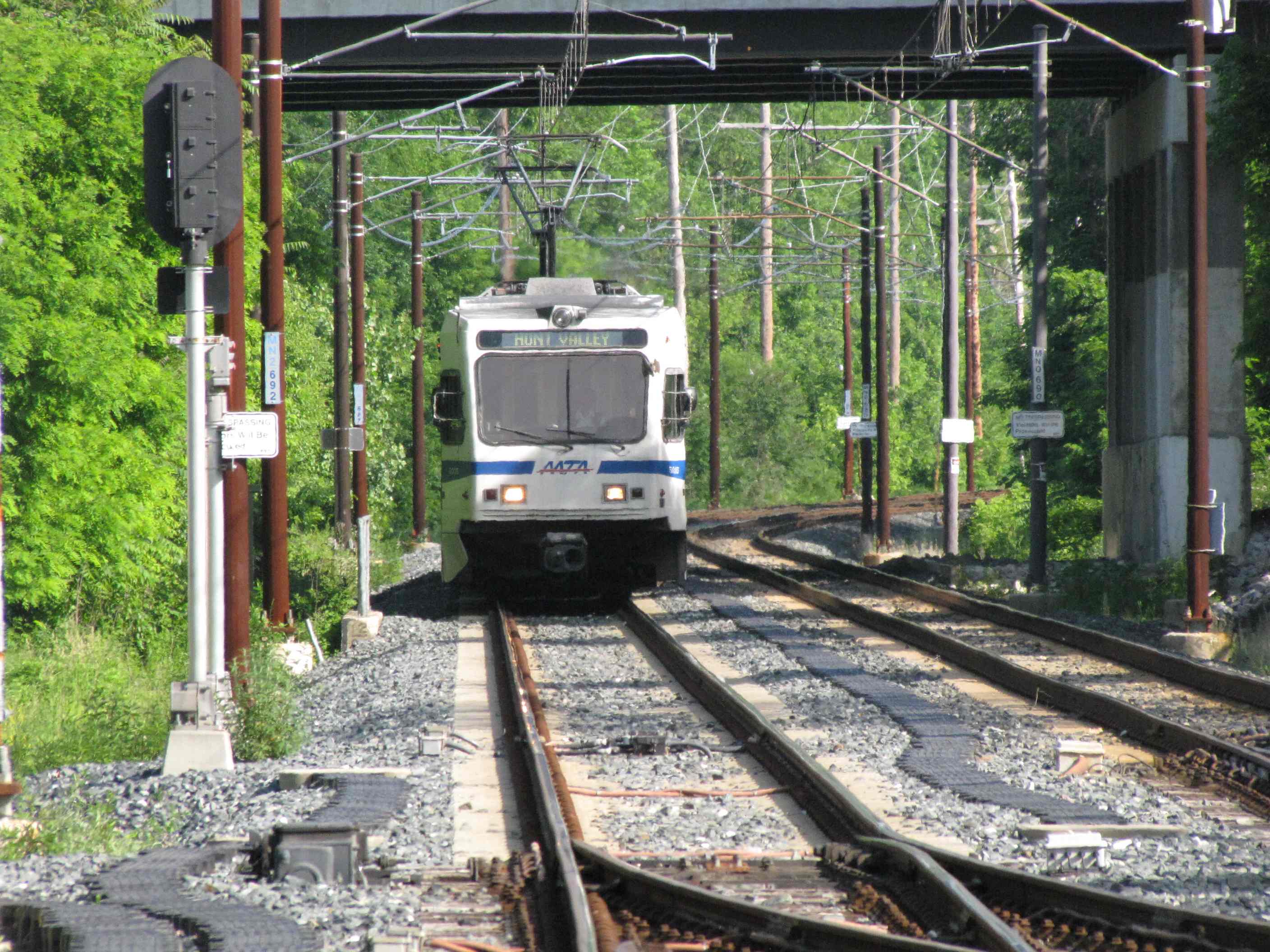
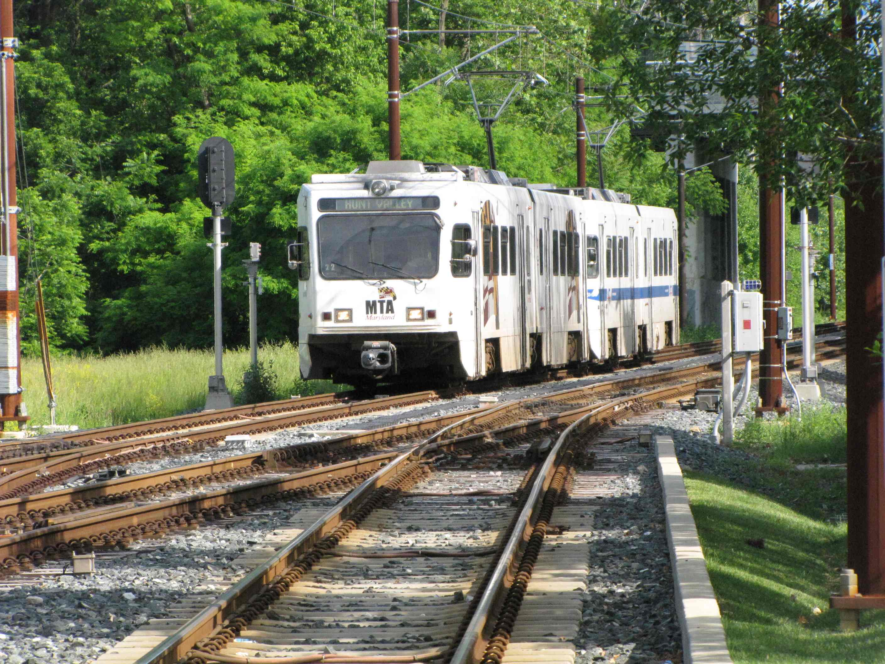
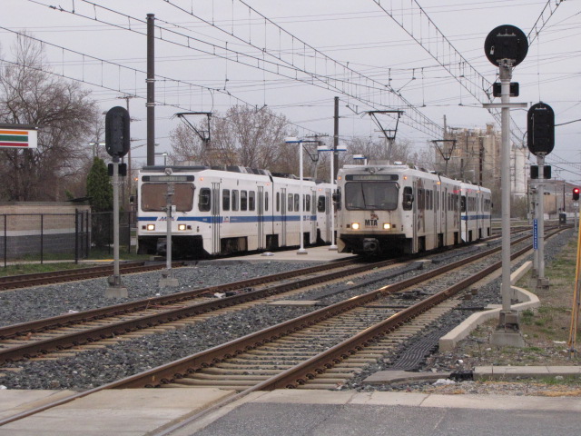
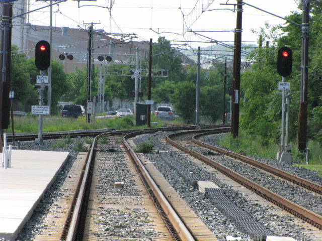
You can almost always count on a meet here, for trains going to HV have to wait for the SB train to clear the single track.

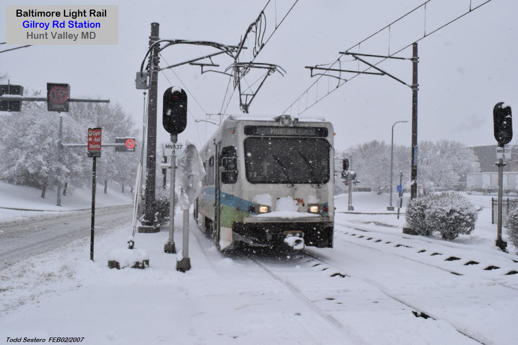
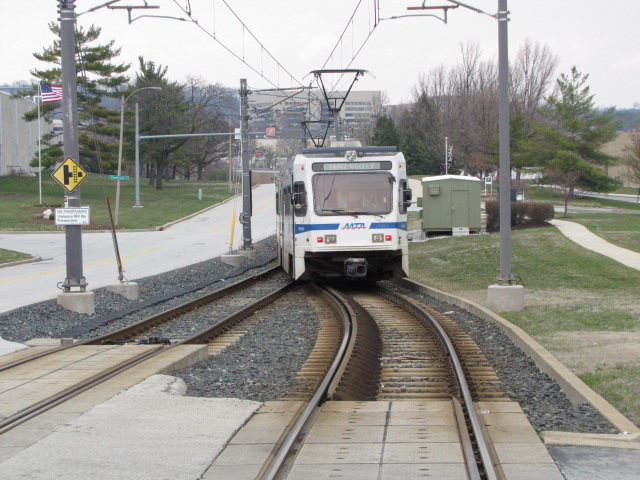
 A SB train coming into Gilroy
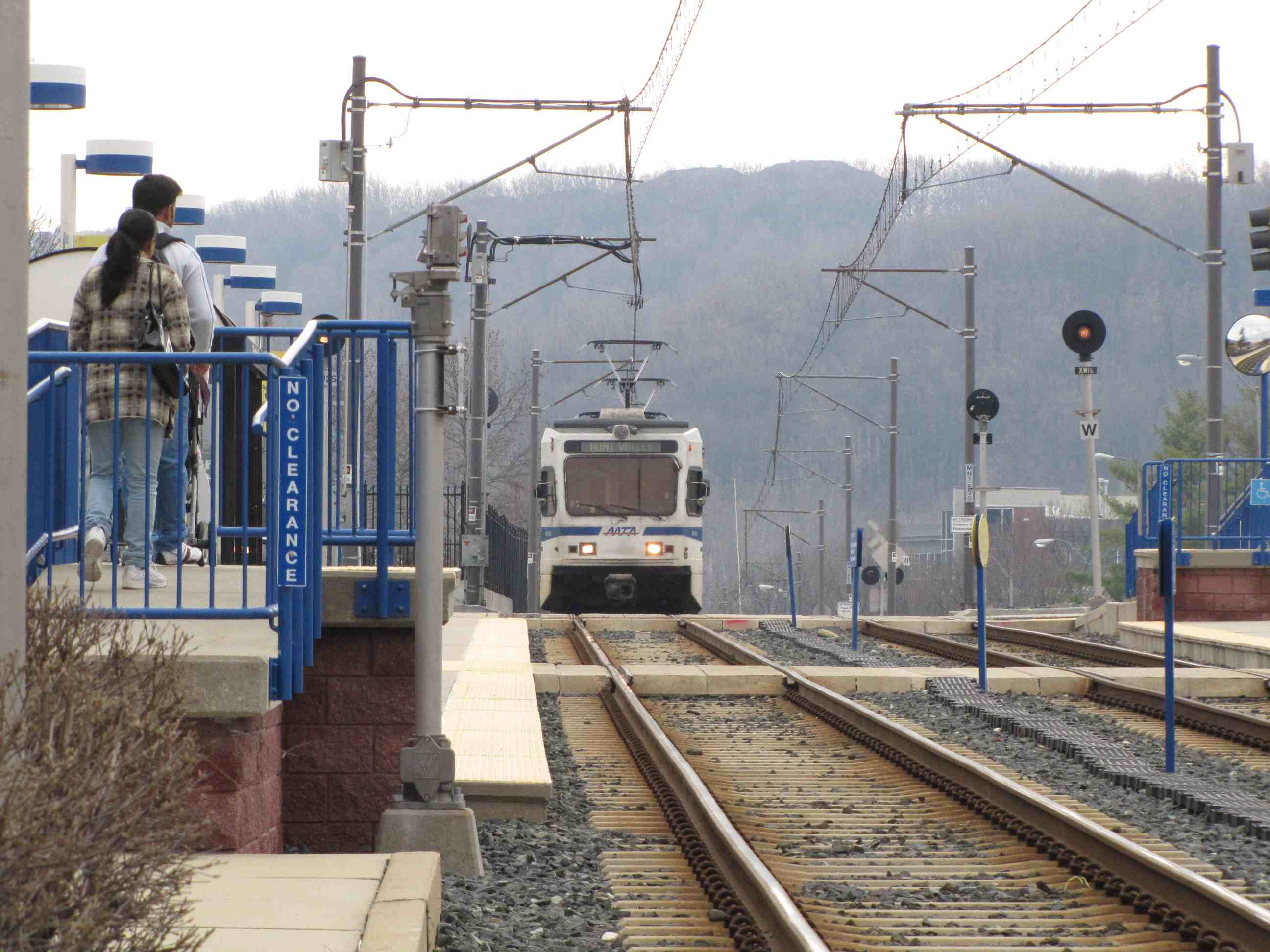
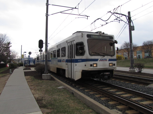
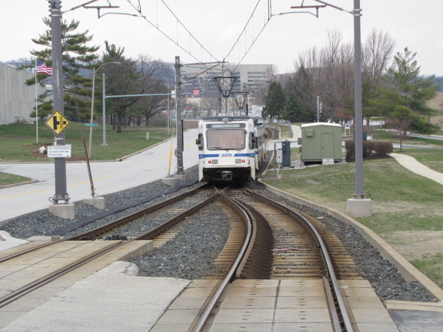
 A NB train coming into Gilroy and then heading to HV
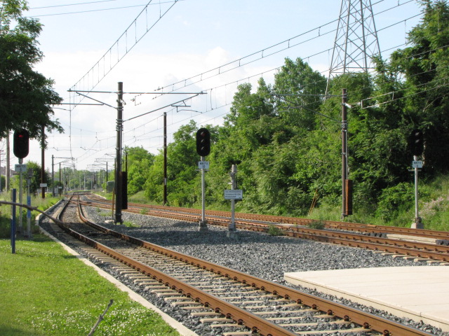
Warren Rd Grade Crossing

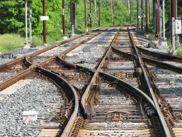
Cockeysville Siding
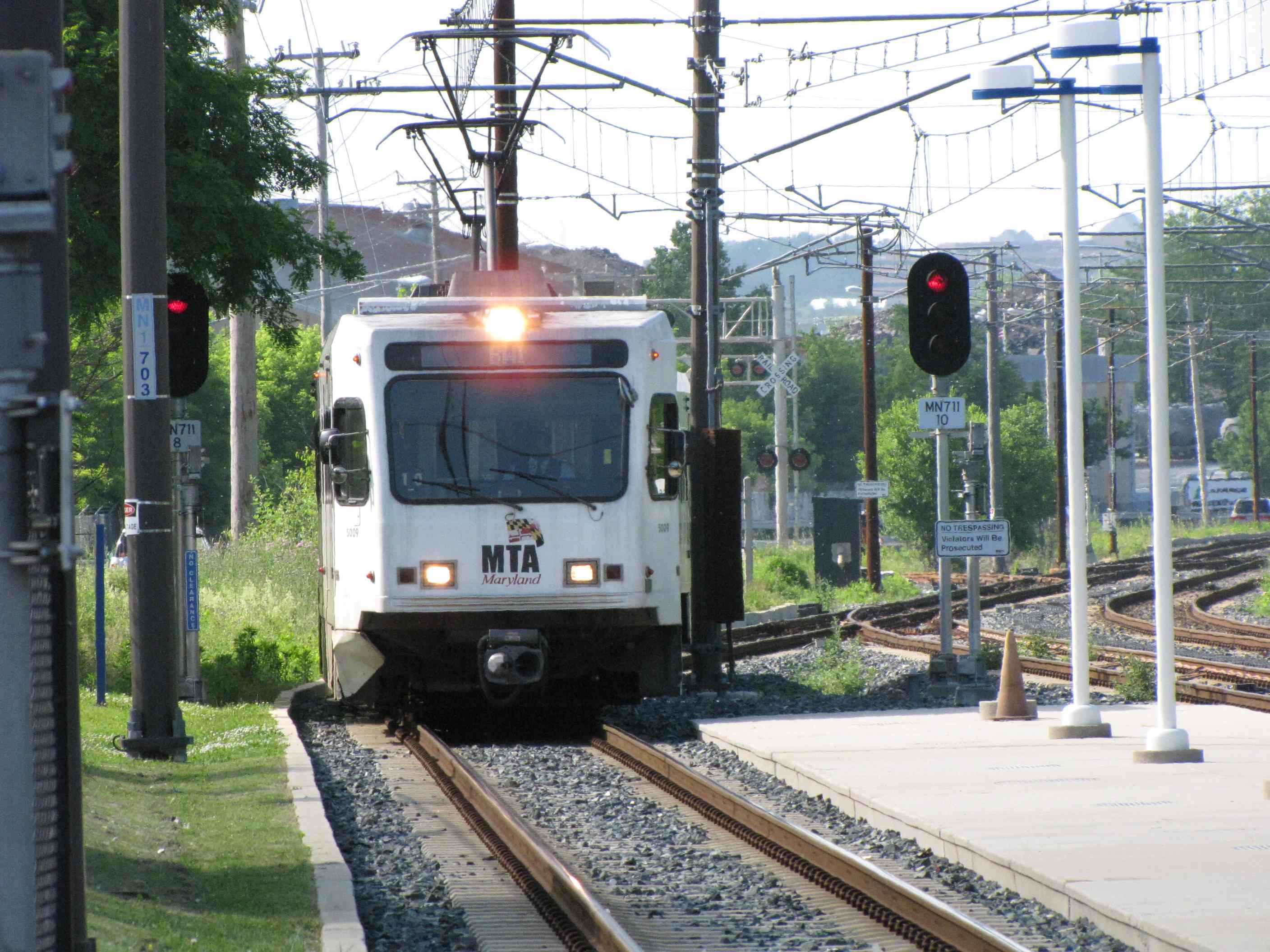
Timonium Turn Around
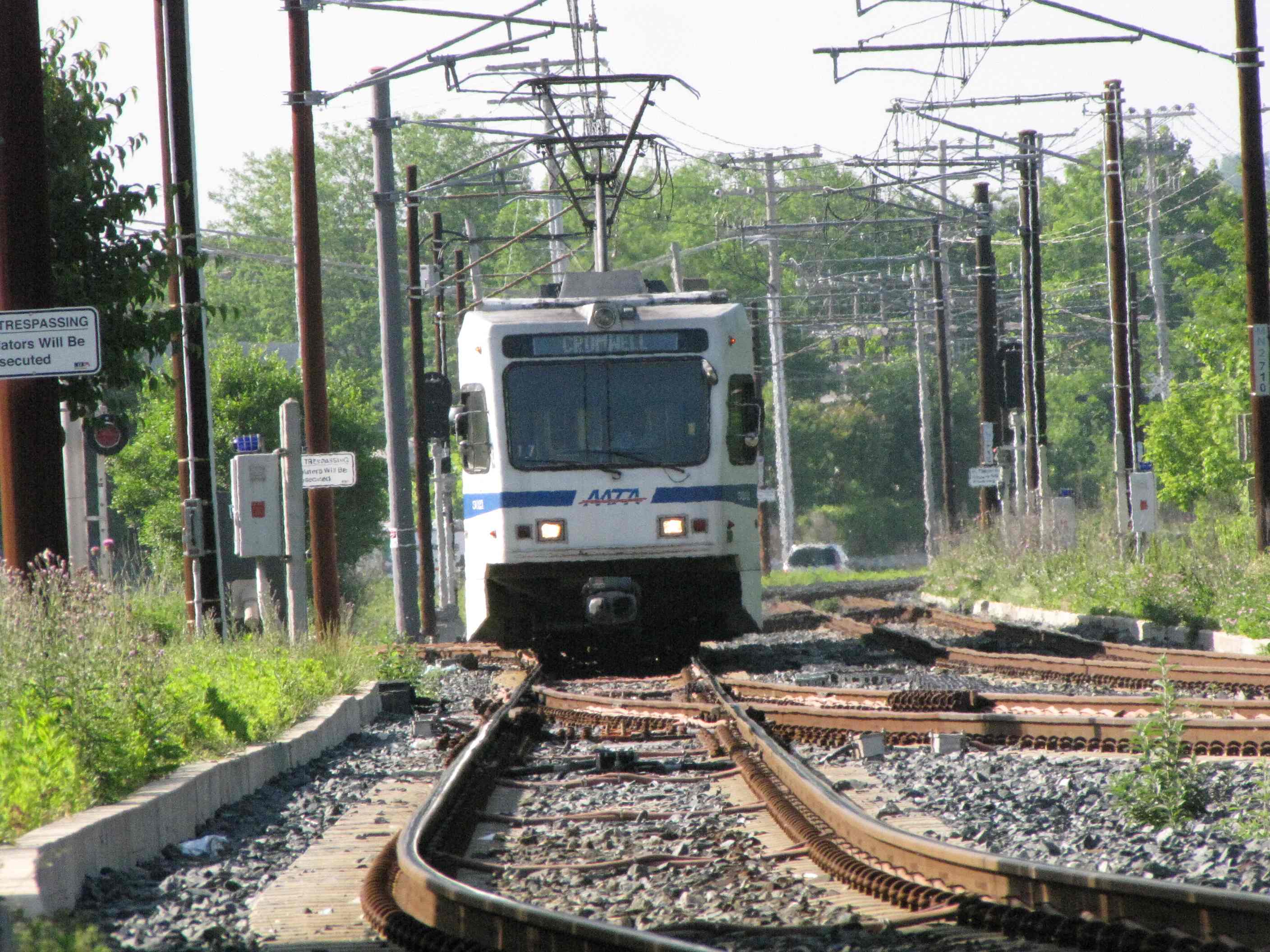
 NB trains passing the pocket track.
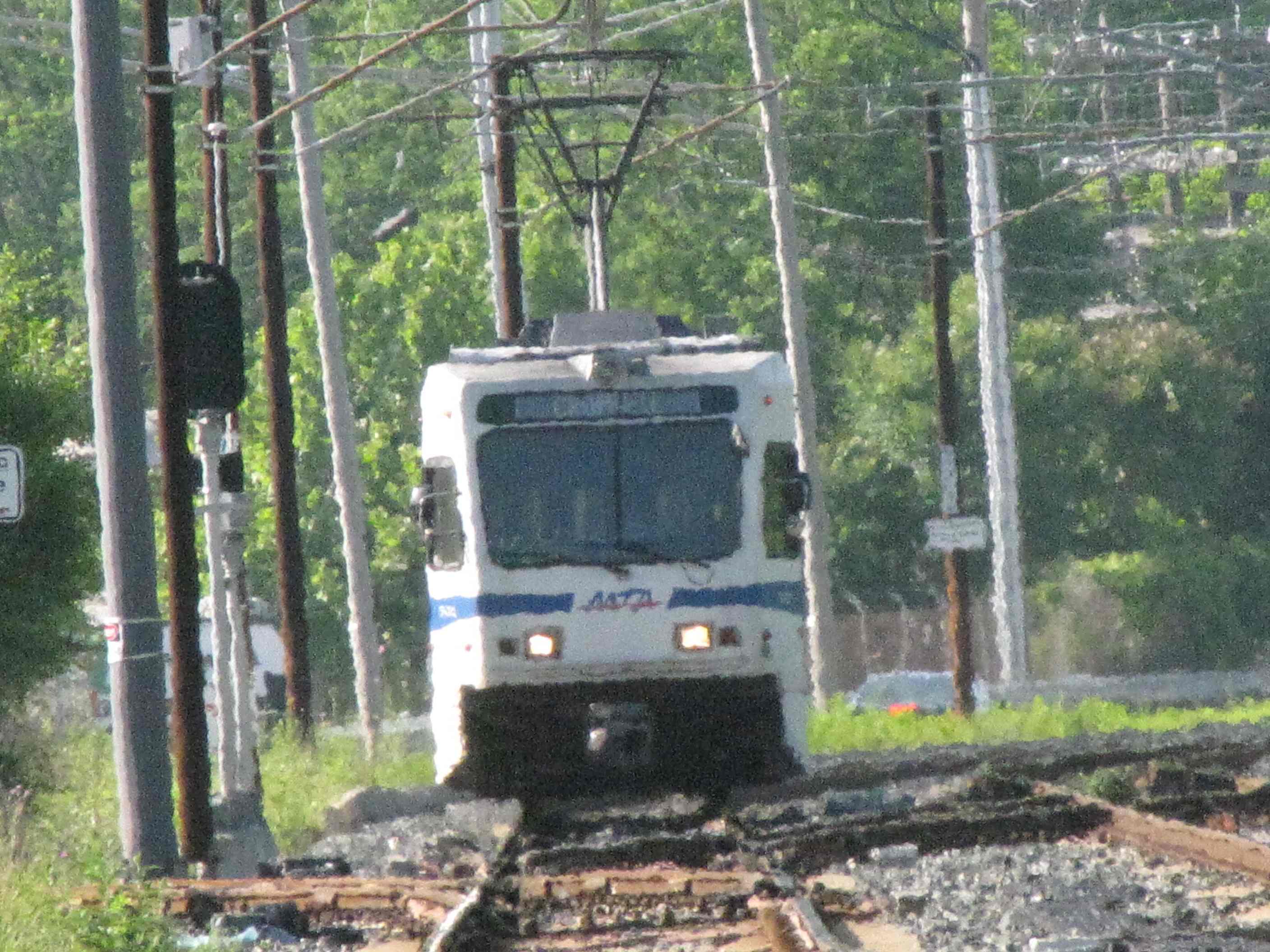
 NB going into the pocket track.
 In the pocket track.
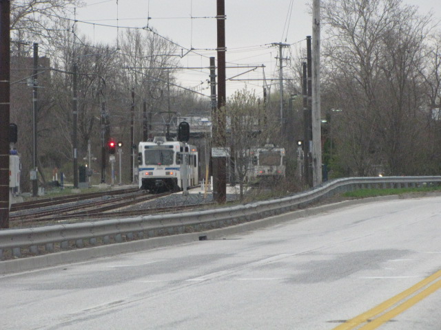 SB trains passing the pocket track.
 Picture from the adjacent medical building and my doctors
office, they think I'm nuts when I show up for an exam with my camera :-)
Picture from the adjacent medical building and my doctors
office, they think I'm nuts when I show up for an exam with my camera :-)
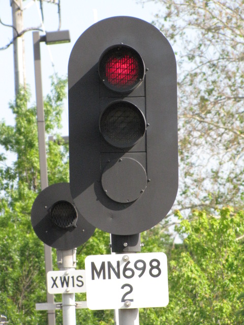


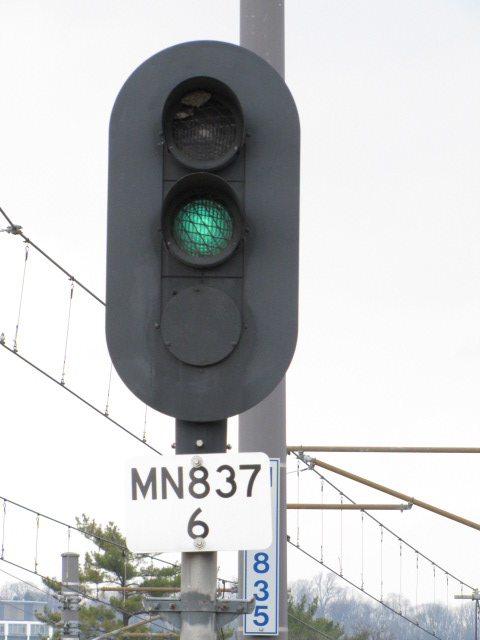
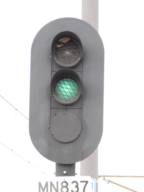
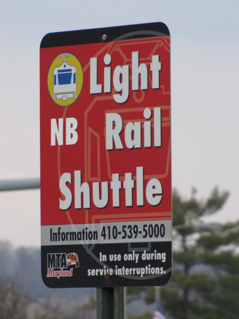
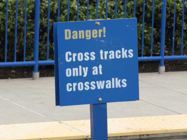
 Signals and signs.
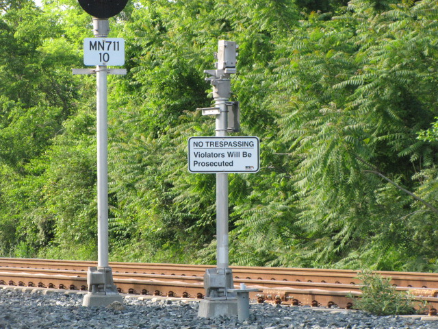
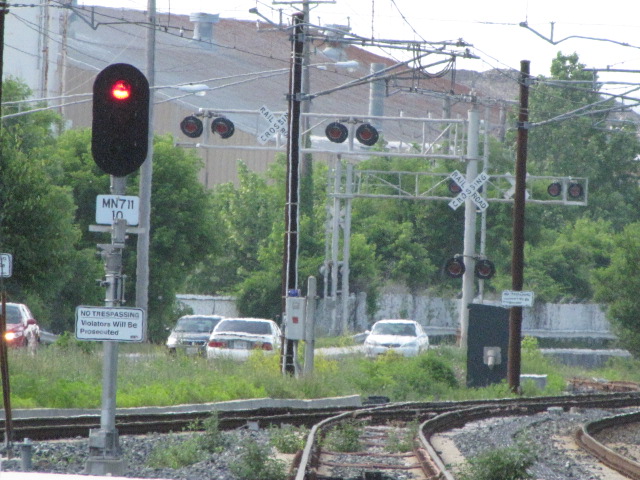
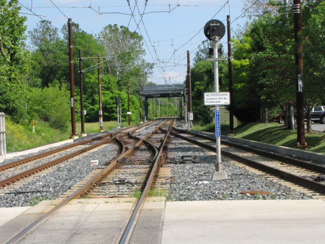
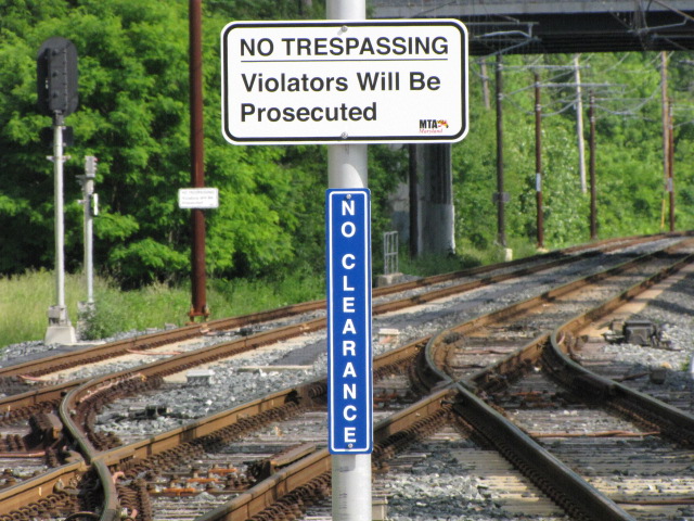
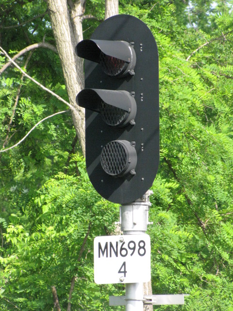
 More signals and signs.
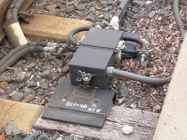
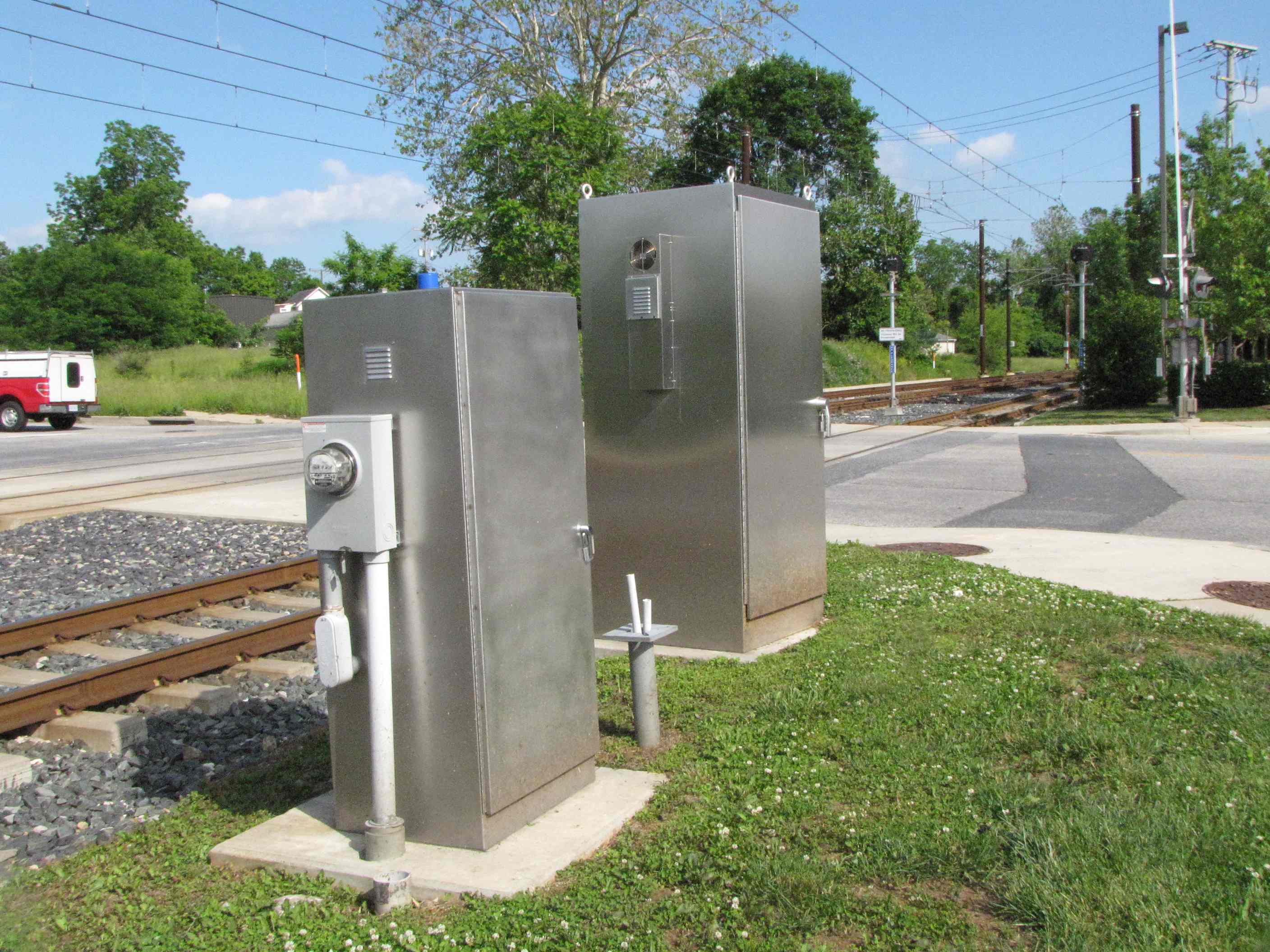
 Ductwork used for running the cables in, instead of
running them overhead and/or on poles.
Ductwork used for running the cables in, instead of
running them overhead and/or on poles.
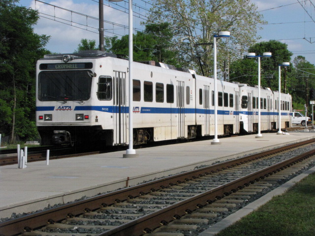
Timonium
Timonium used to the be the last stop before the Hunt Valley extension was finished in 1997.
Timonium Road Grade Crossing
Timonium Business Park

Lutherville


 Coming from the Lutherville station at Ridgely Rd, and heading into station.
MP 525
Living next to the light rail can have its advantages. During the blizzard of 1996, traffic went no-where for two days, so I called up Light Rail Control and had them stop behind my house at this milepost to pick me up for work. Did this for two days. Some of the operators will still blow the horn when they pass by and see me in the yard.
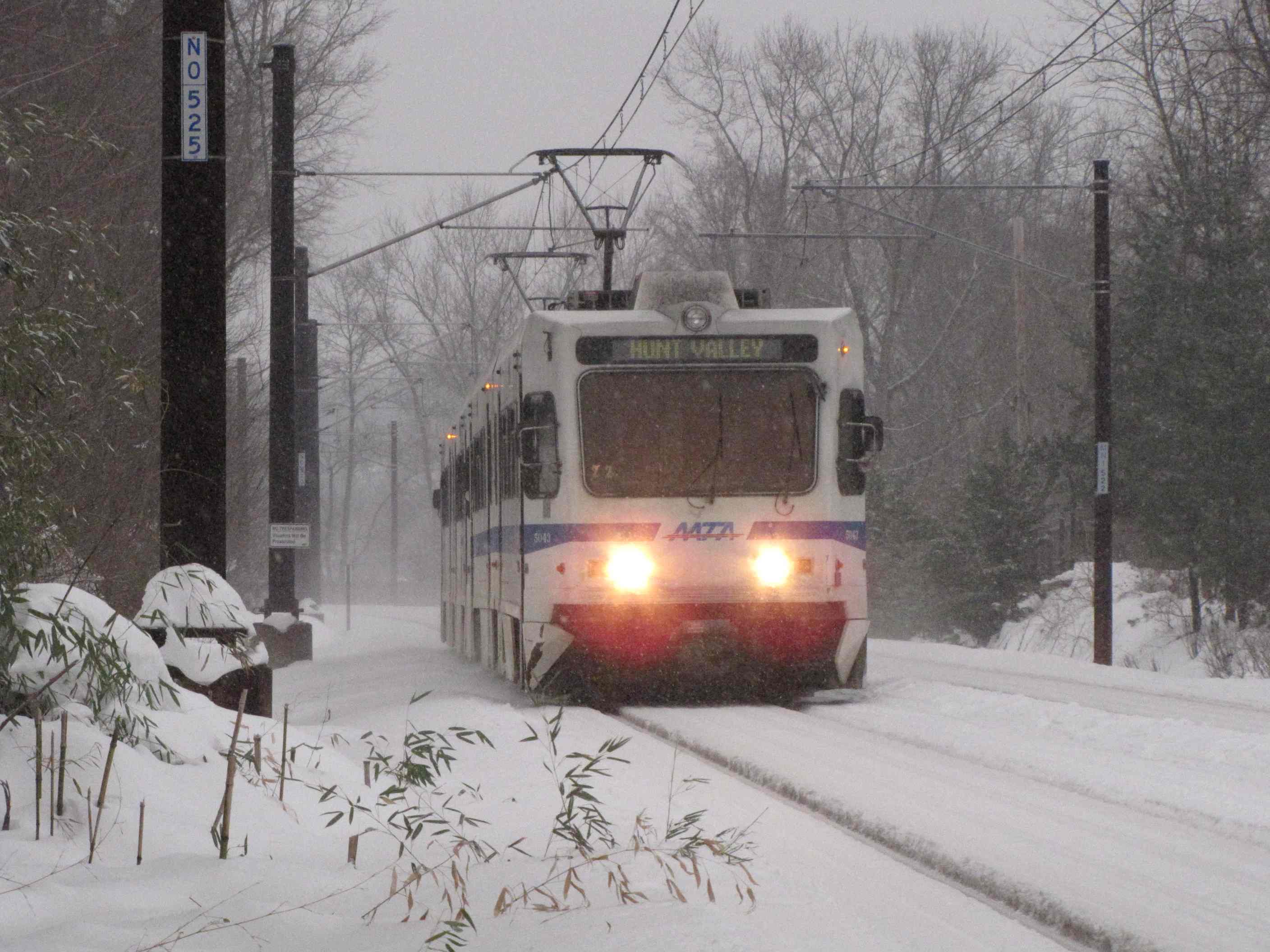
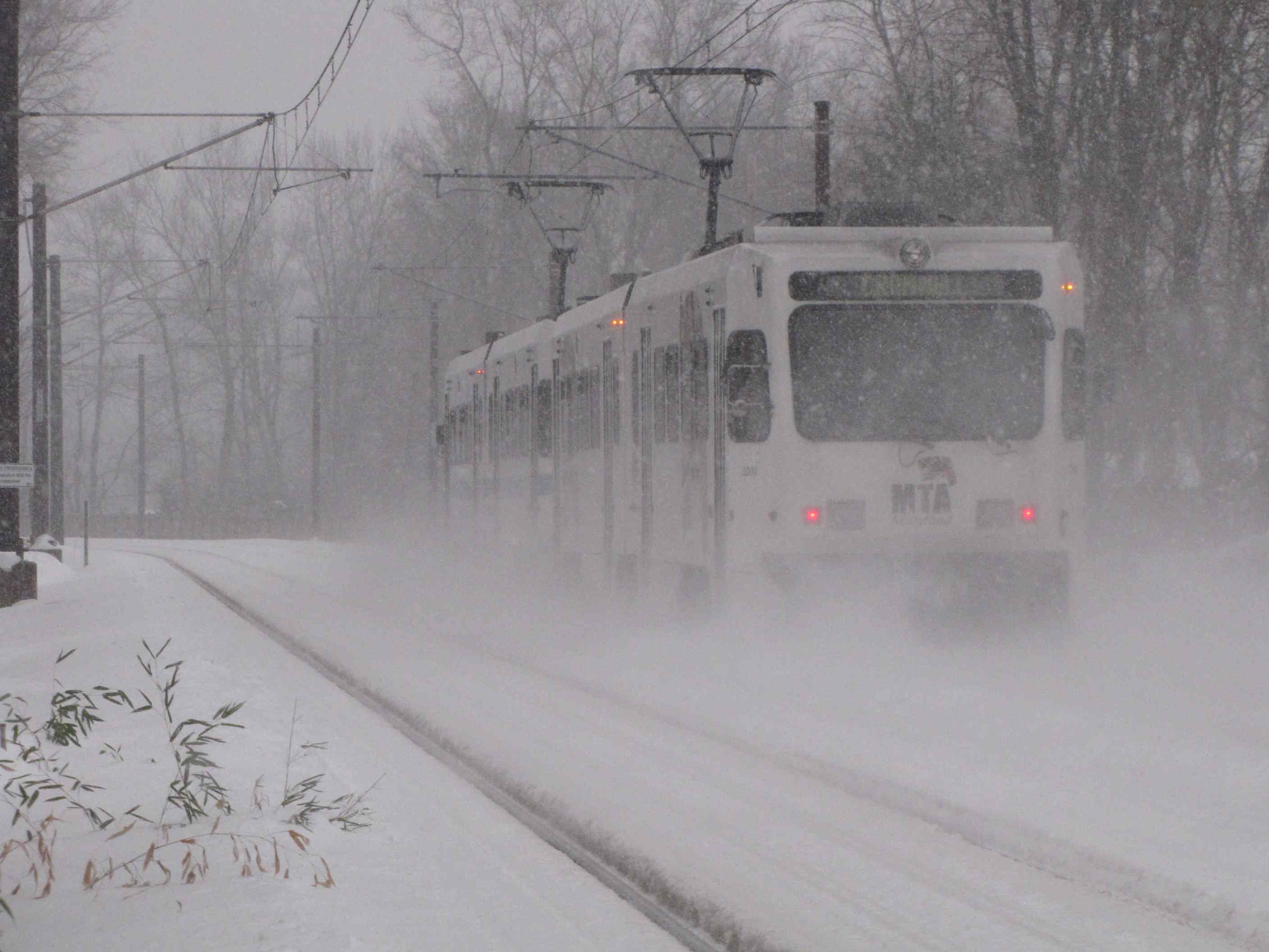
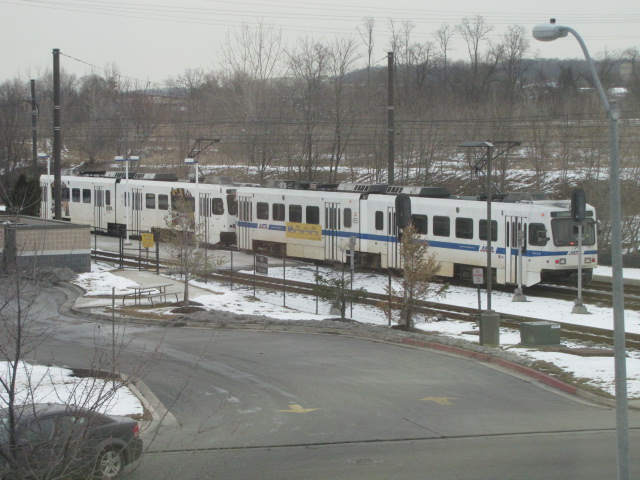
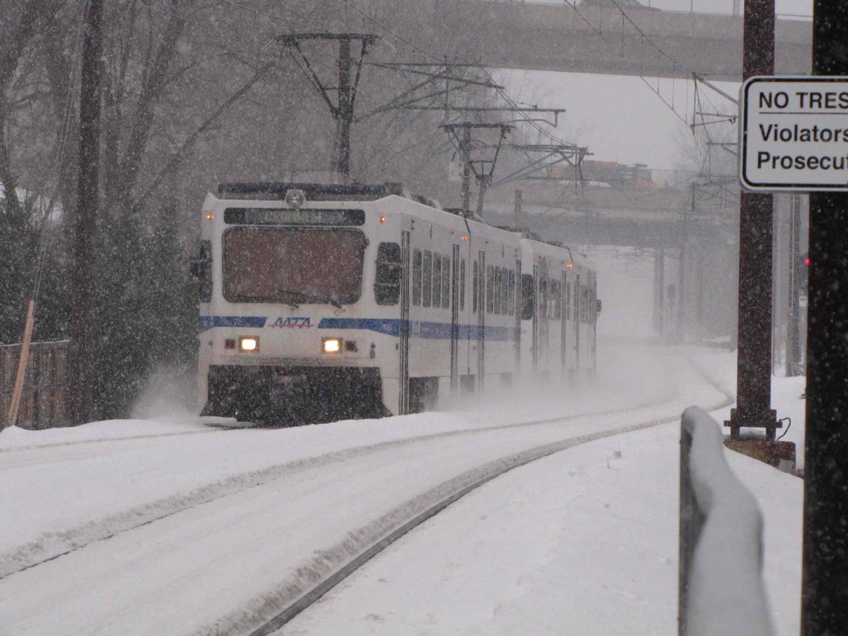 A couple of winter shots from behind my house.
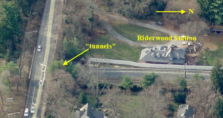
the Riderwood Tunnels
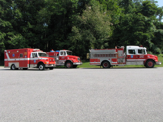
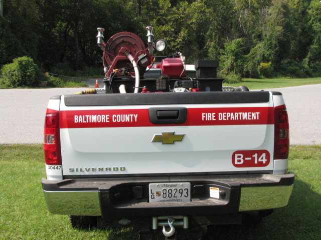
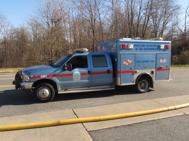
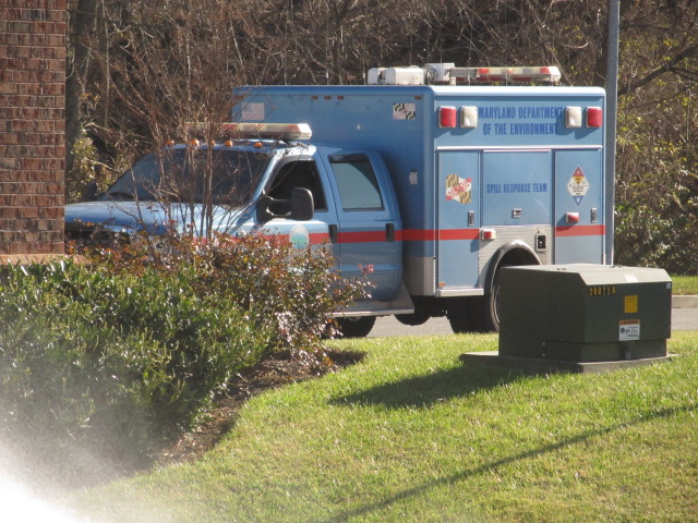
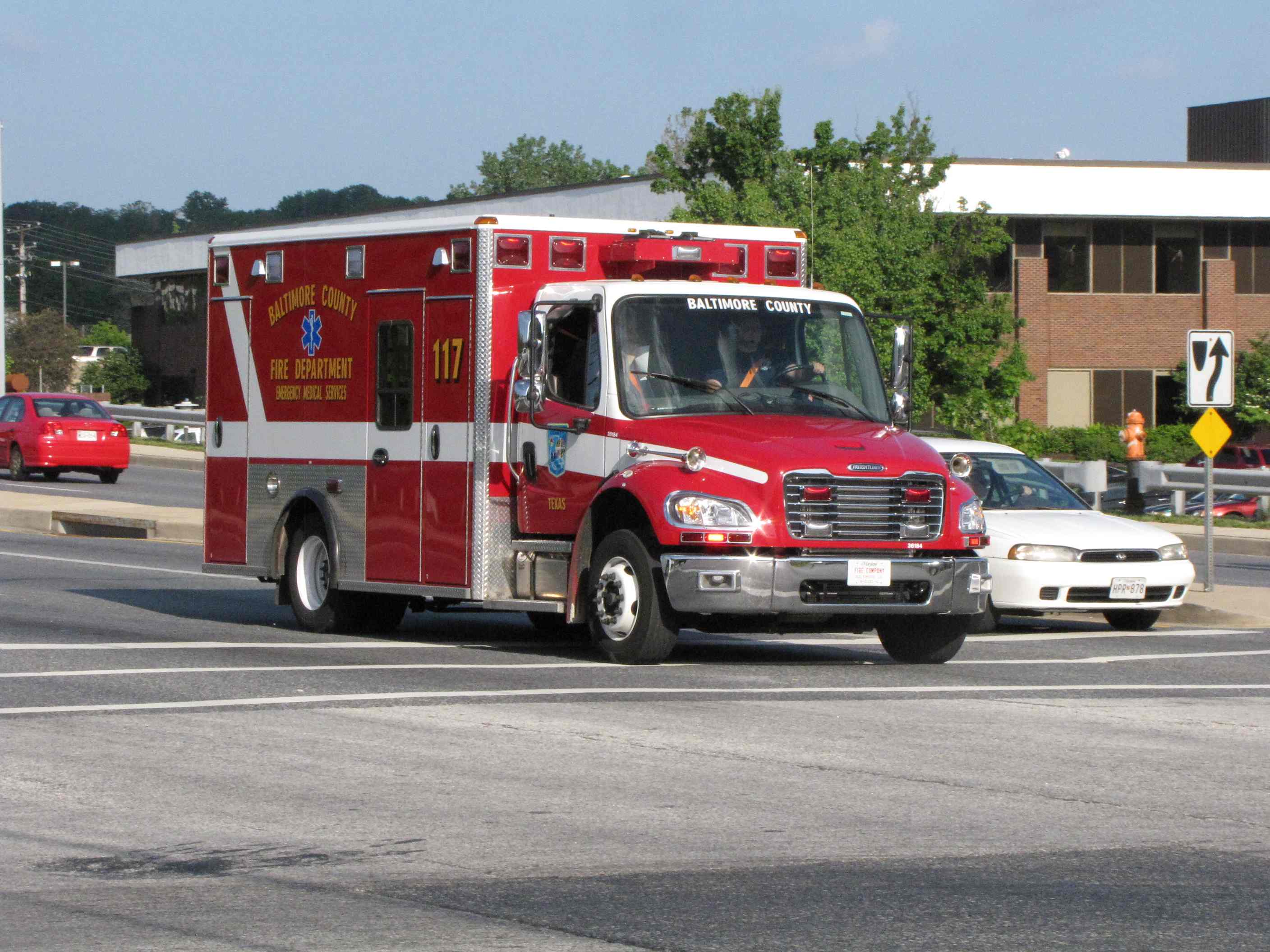 Reserve Ambulance #117
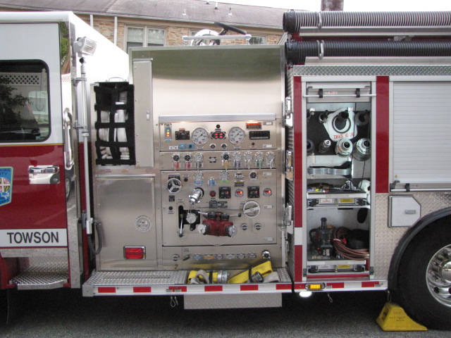
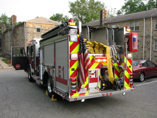


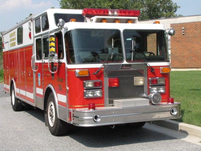
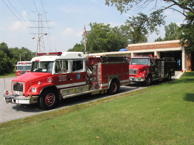
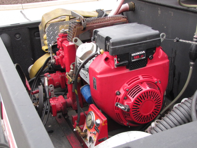
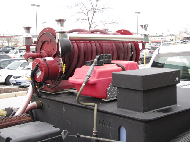
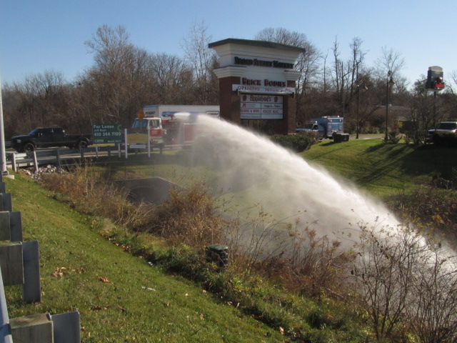
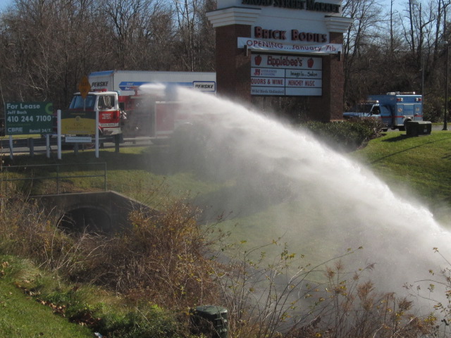
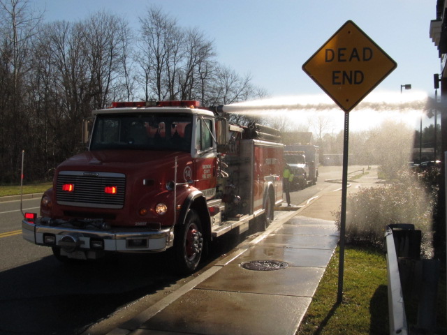
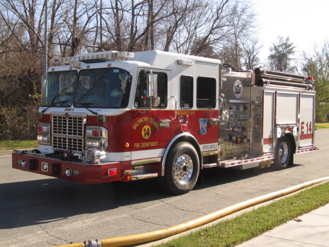
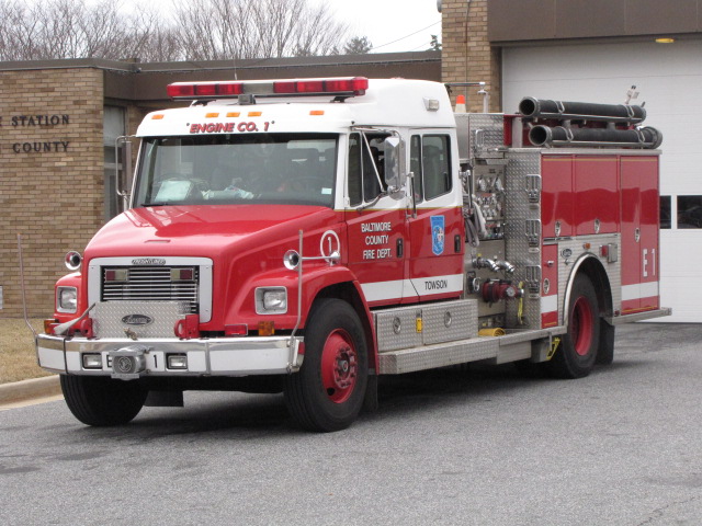
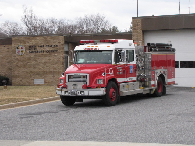
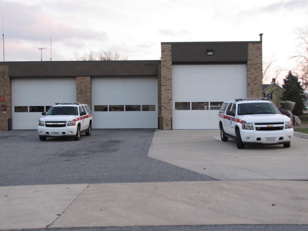
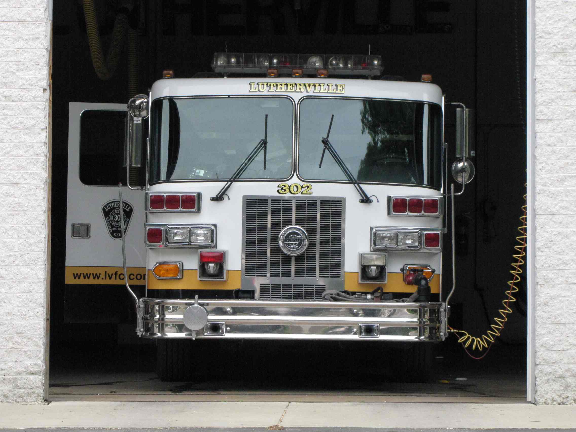
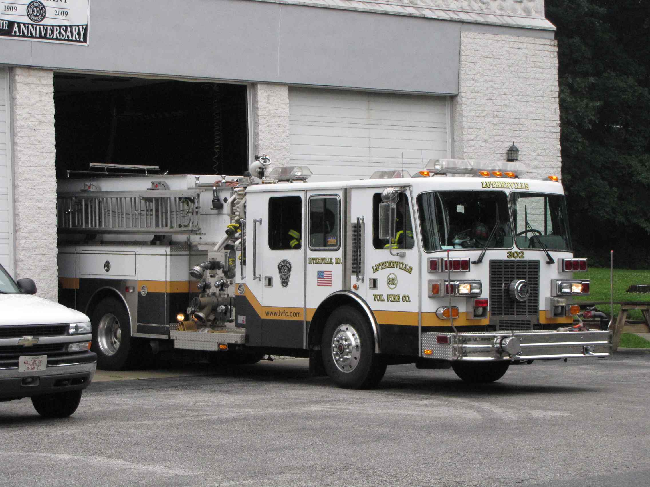
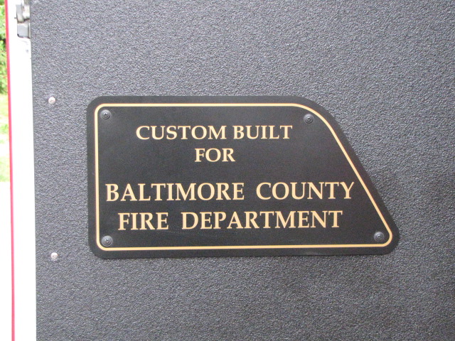 Engine #1
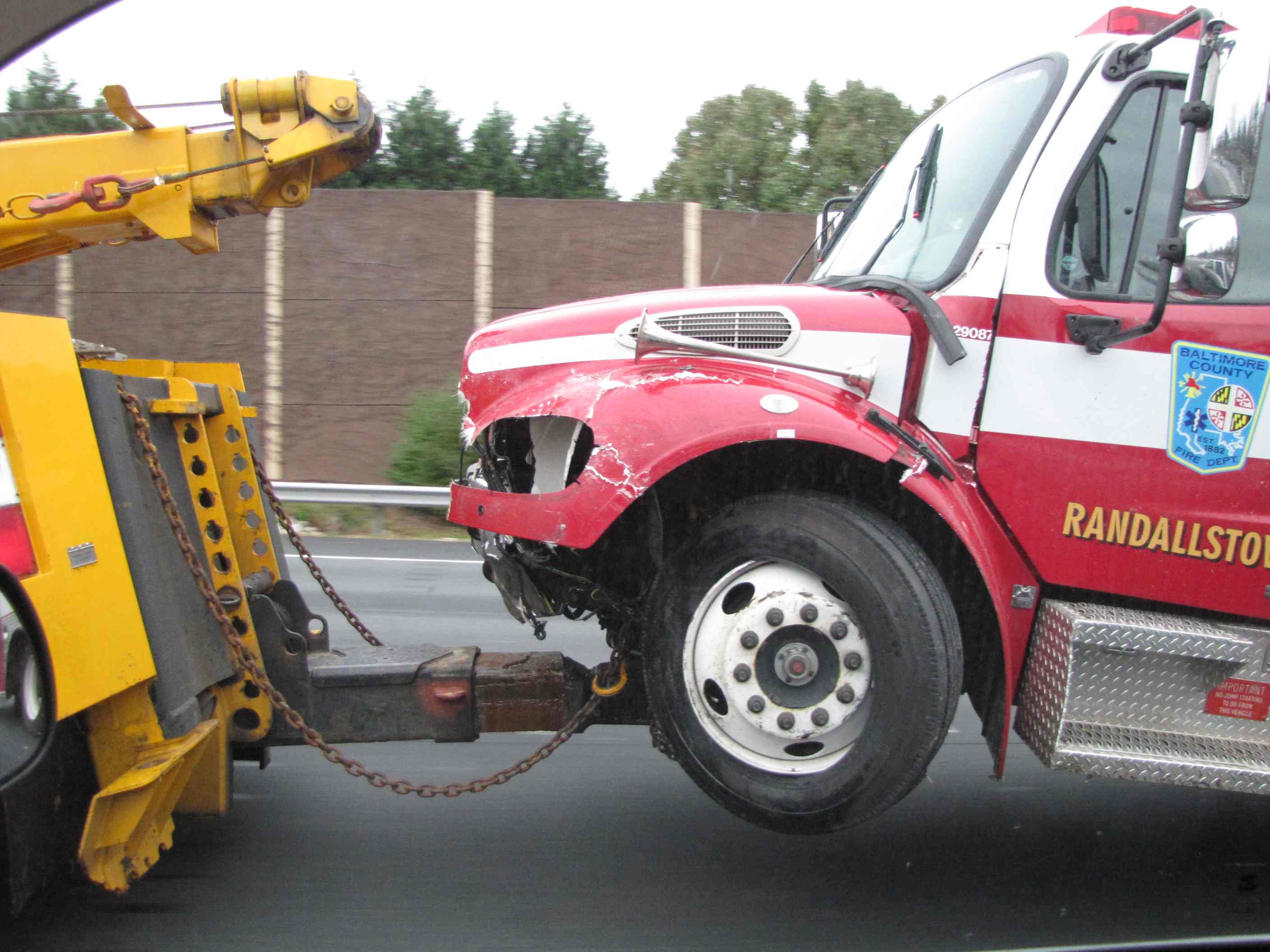 Oooooops
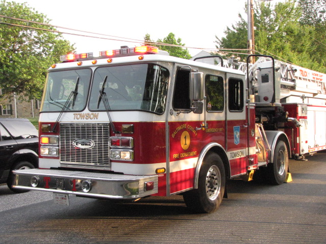
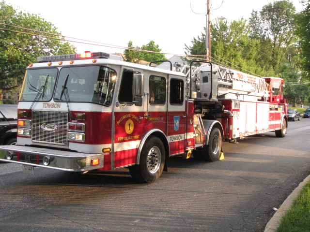
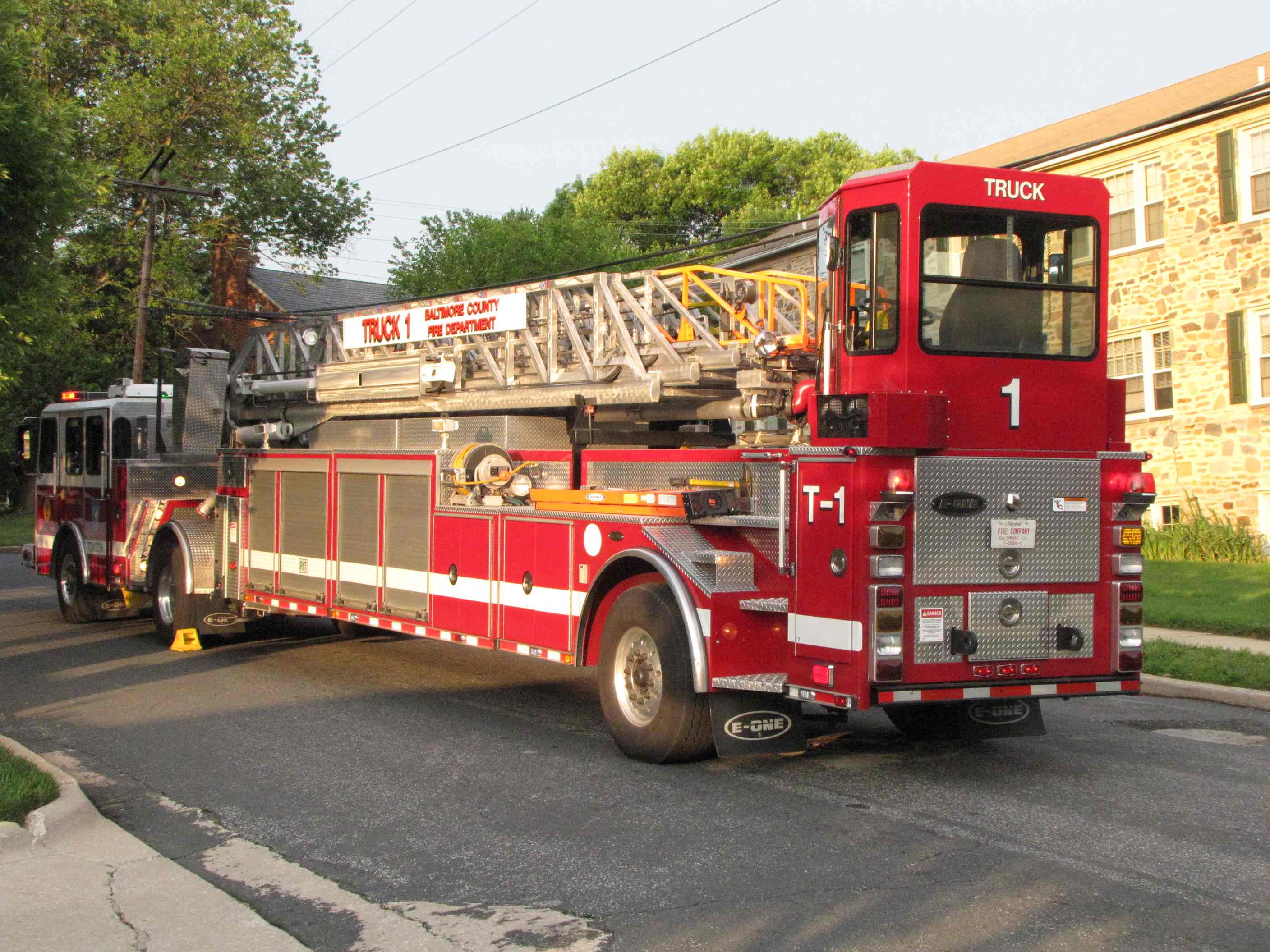
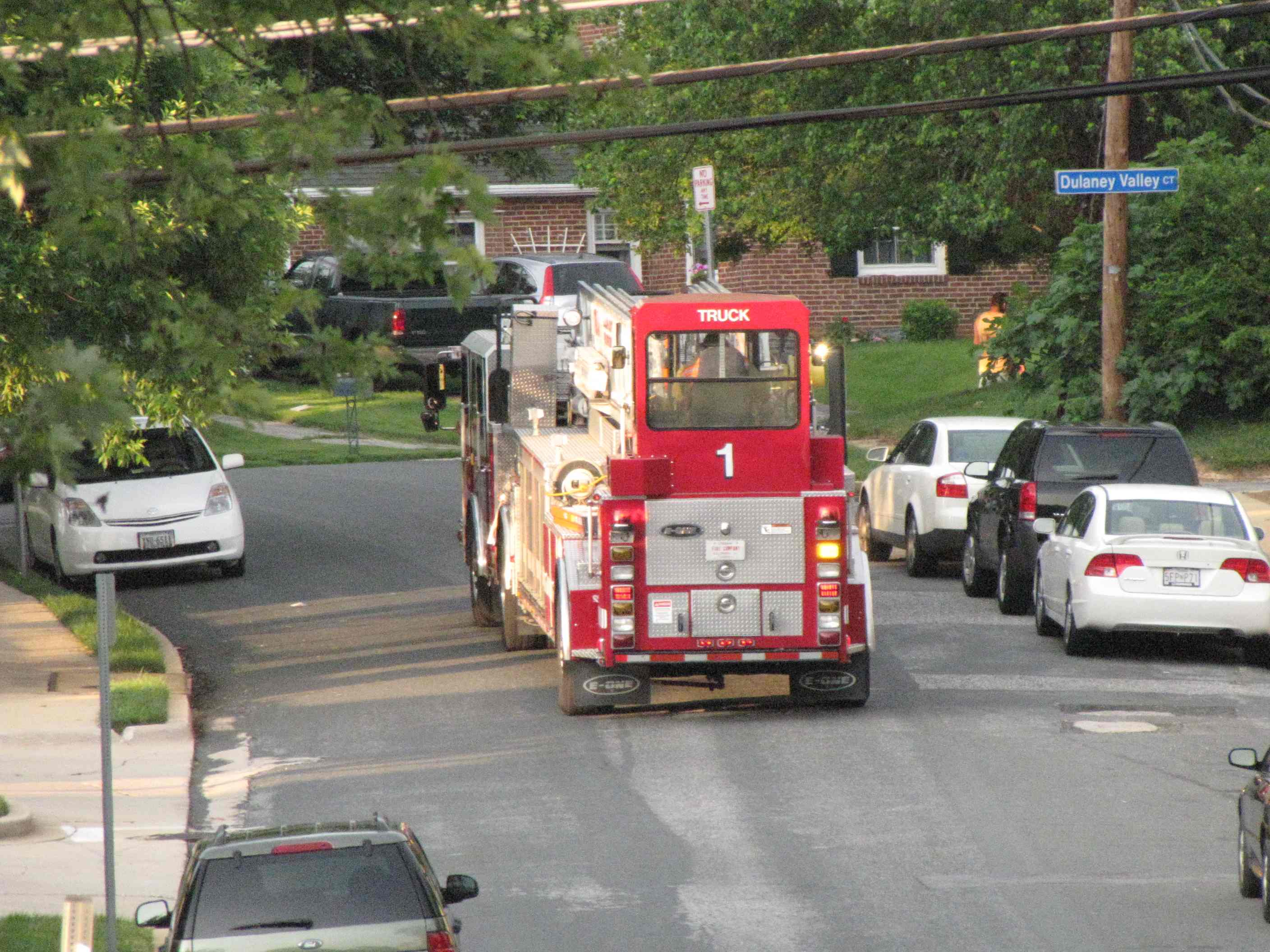
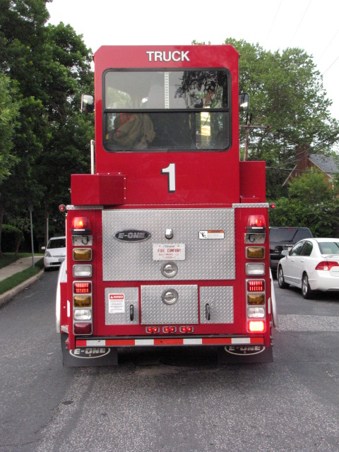
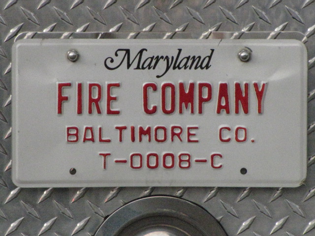
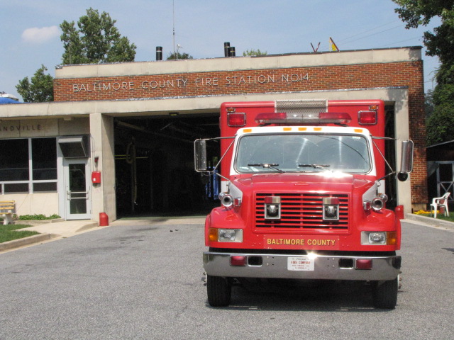
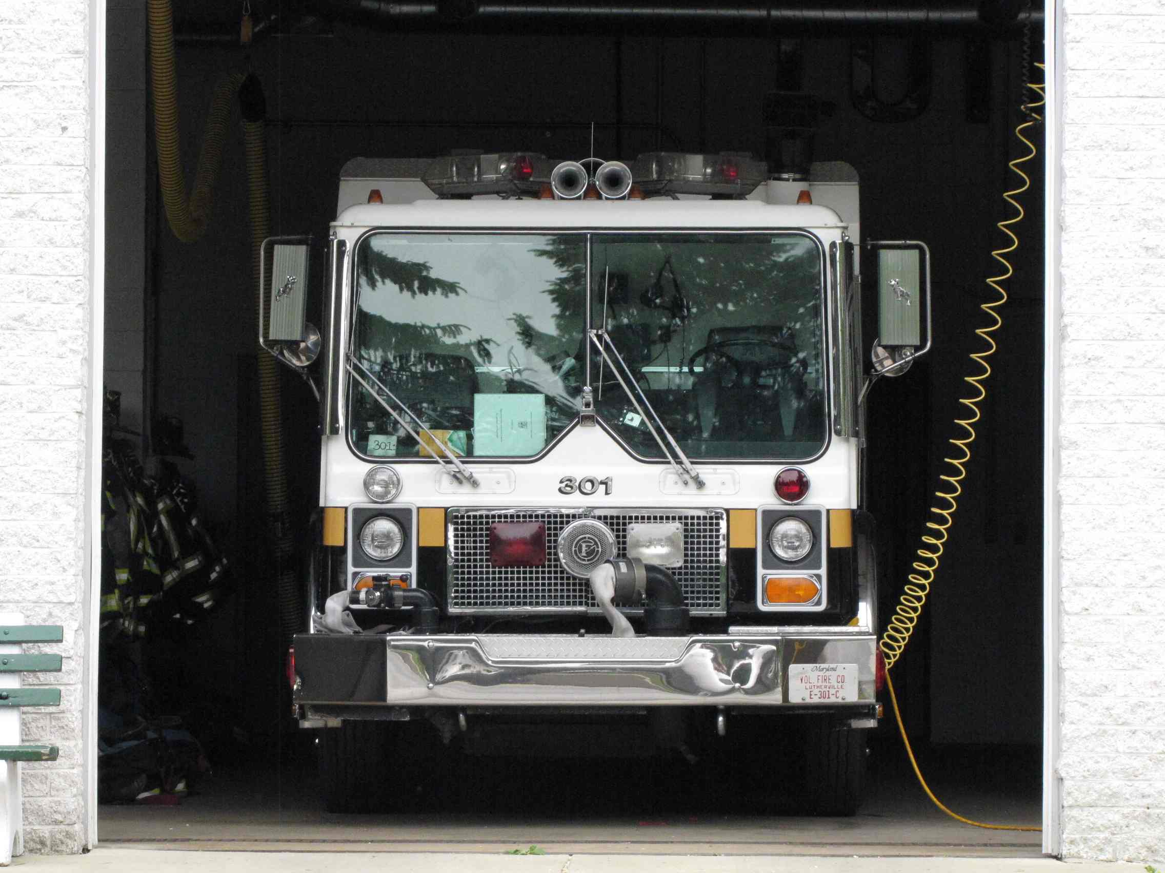
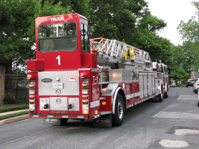 Truck #1
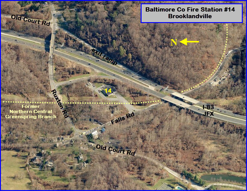


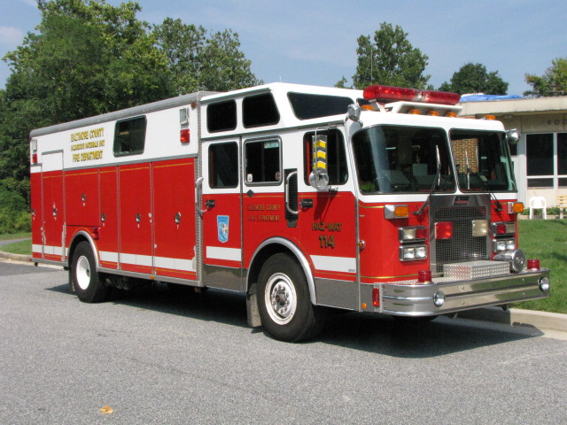
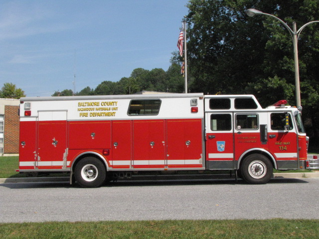

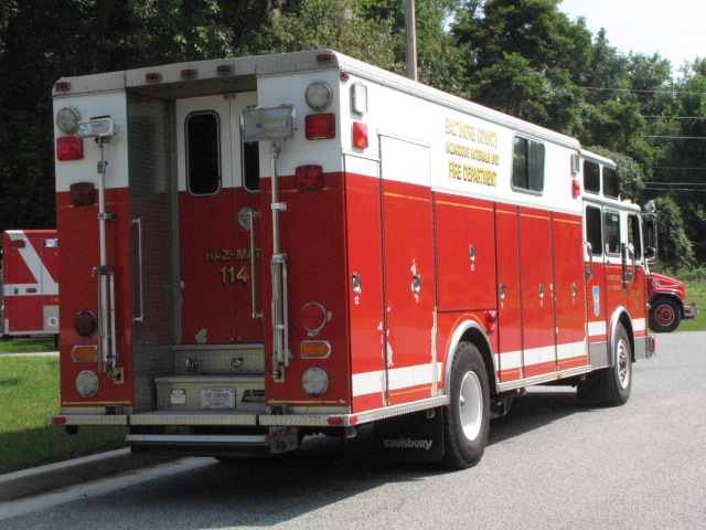

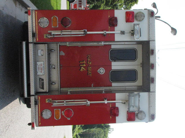
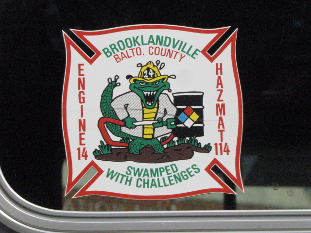


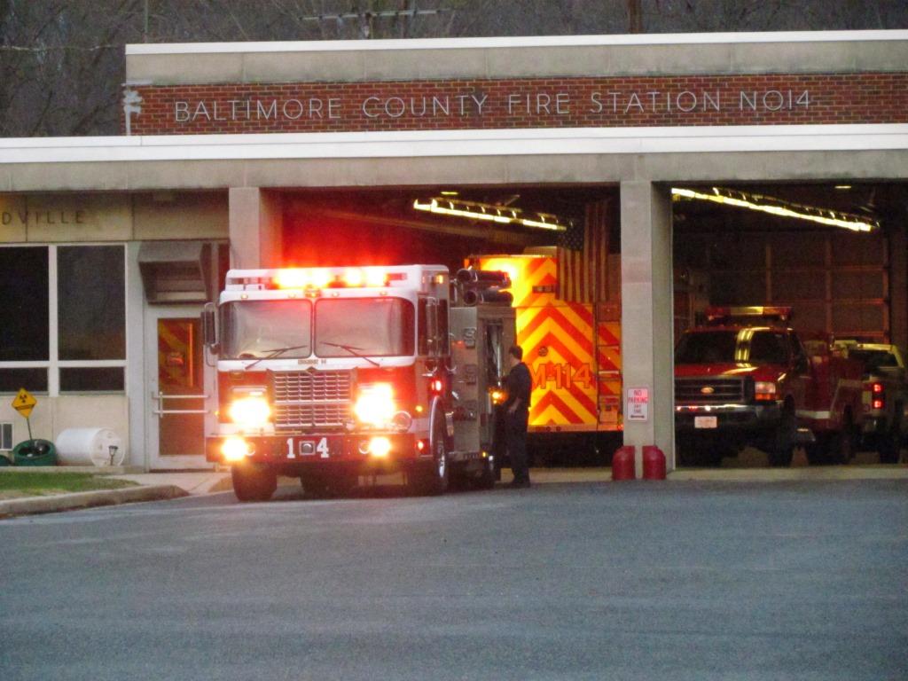
 Hazmat 114 caught on 11/29/2015 turning into the station in the rain - I was headed "down" Falls Road.
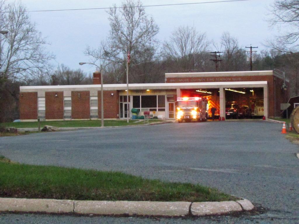
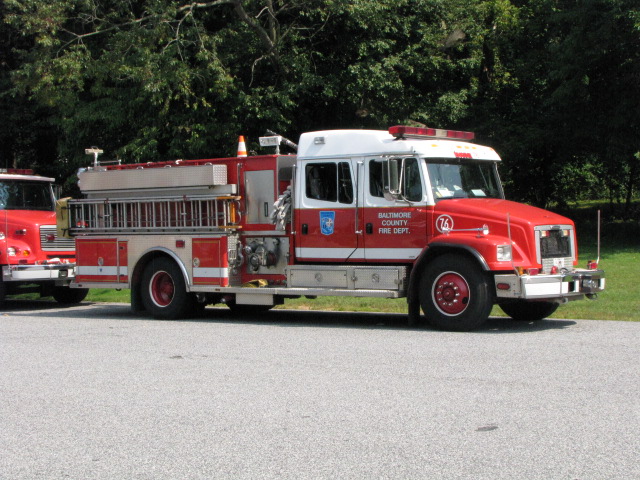
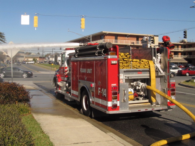
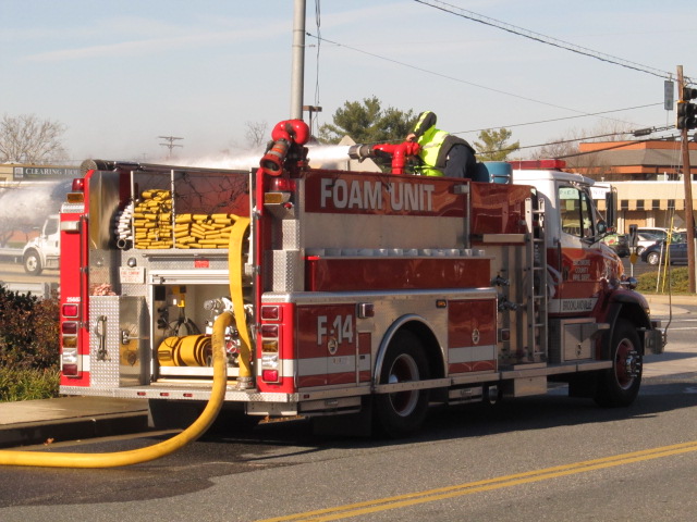
 Engine 14 caught on 11/29/2015 having it's equipment checked out, I was headed "up" Falls Road returning home.
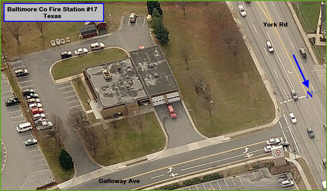
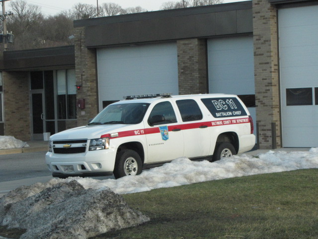
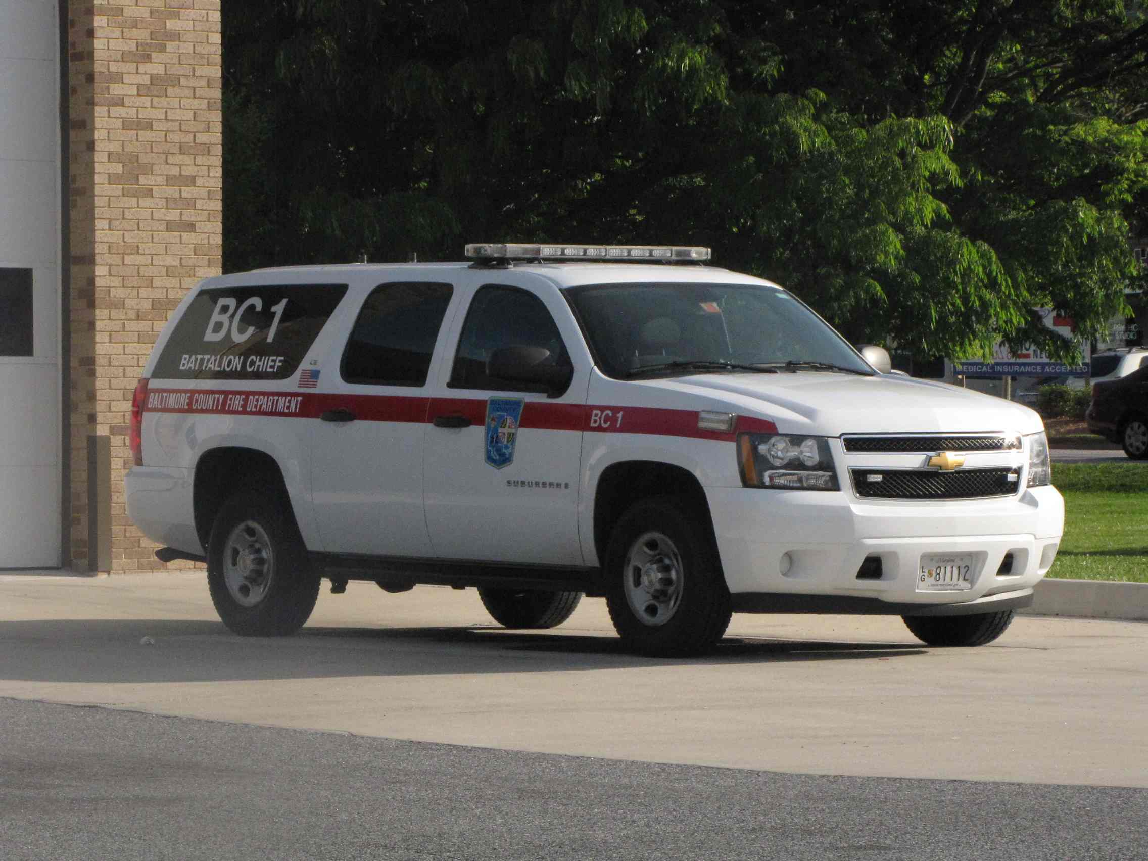
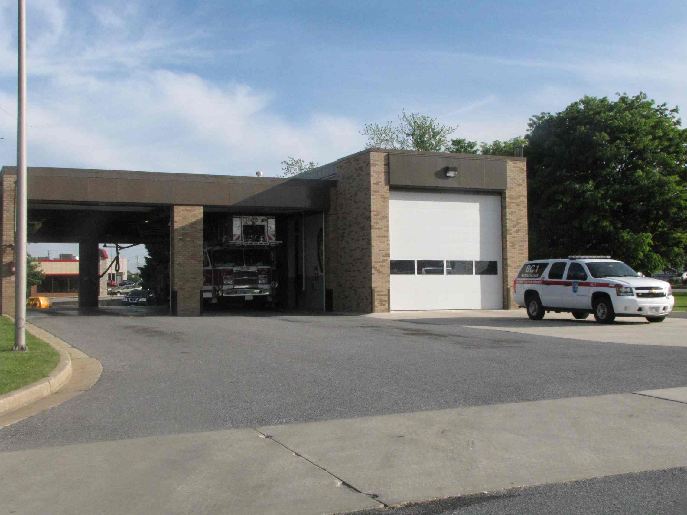
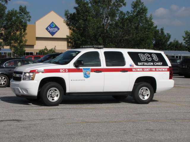 Battalion Chief 11/1 sitting outside the station, and BC3 outside Sams Club, near the L/R pocket track.
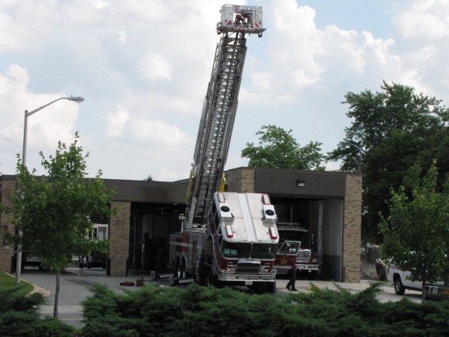
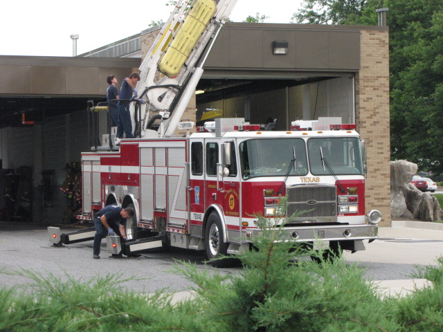

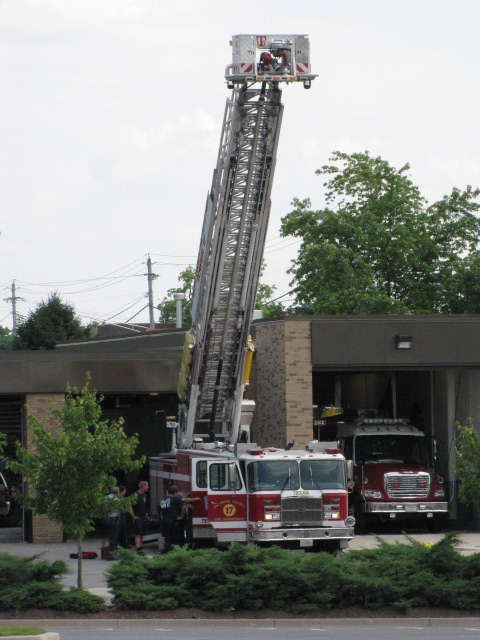
 Truck #17
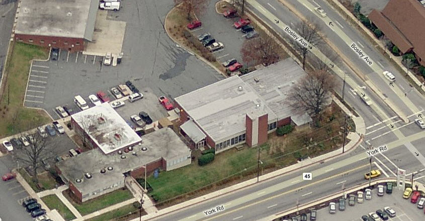
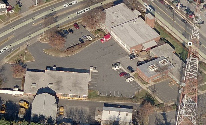
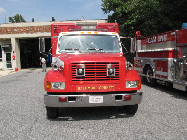
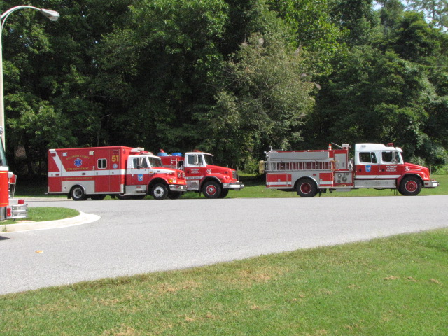
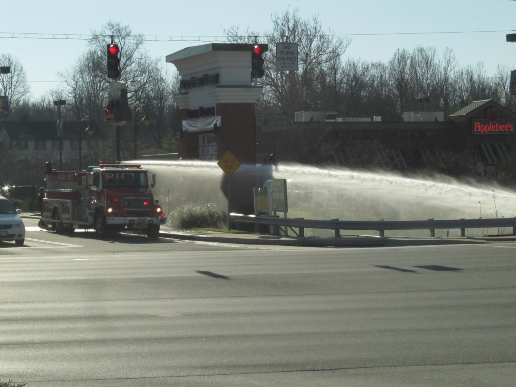
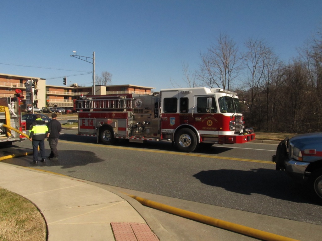
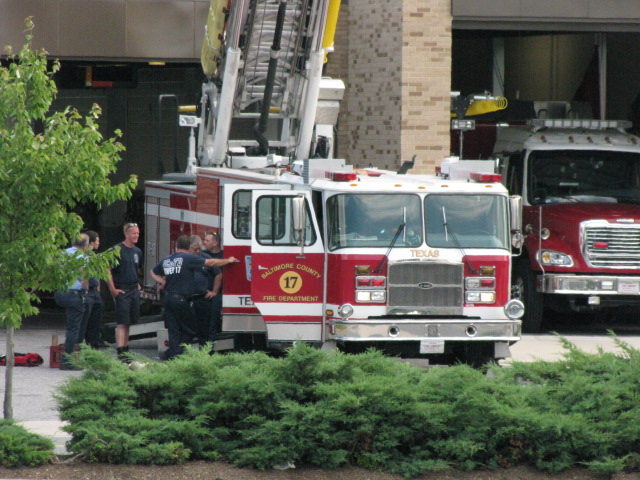
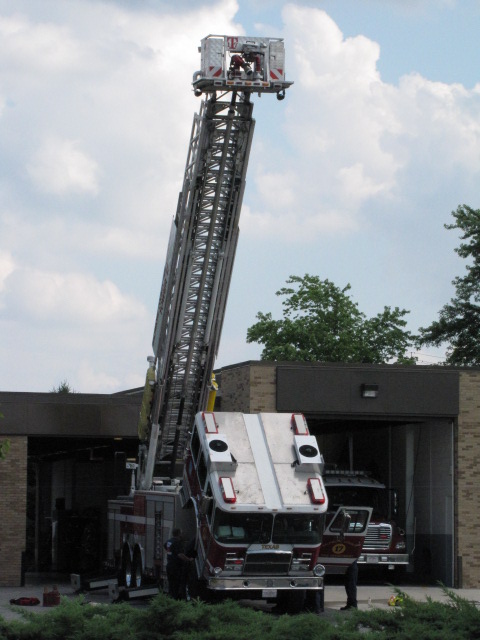
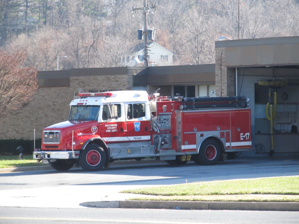
 Engine #1 at Texas.
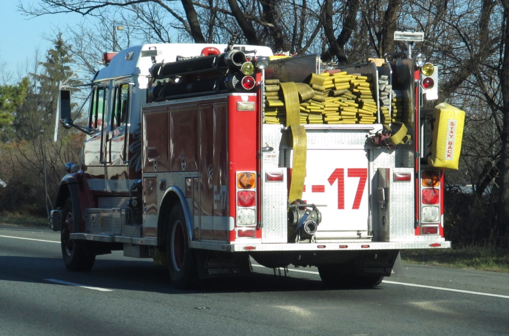
 Engine #17 caught on NB 83, and then at the station about 30
minutes later going down York Rd.
Engine #17 caught on NB 83, and then at the station about 30
minutes later going down York Rd.
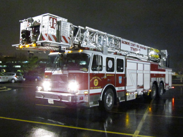
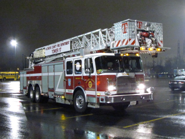
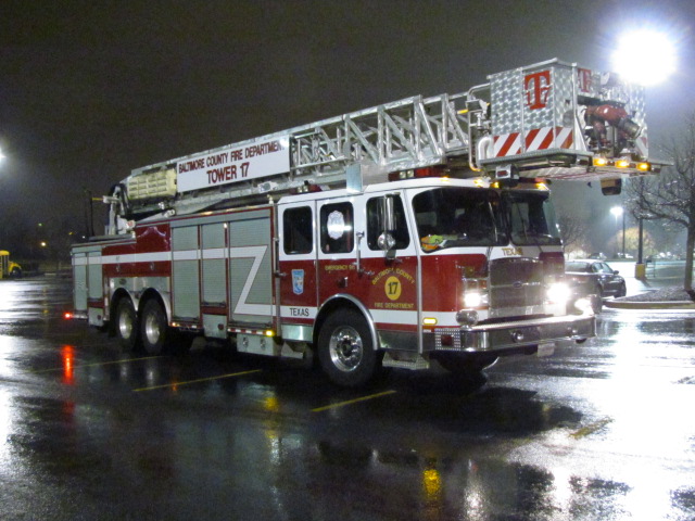
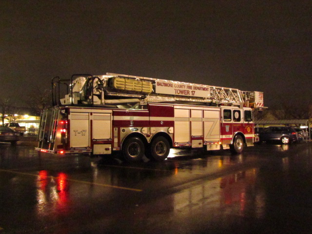 Tower 17 at Sam's Club on a rainy night in Texas (MD) on
11/30/2015.
Tower 17 at Sam's Club on a rainy night in Texas (MD) on
11/30/2015.
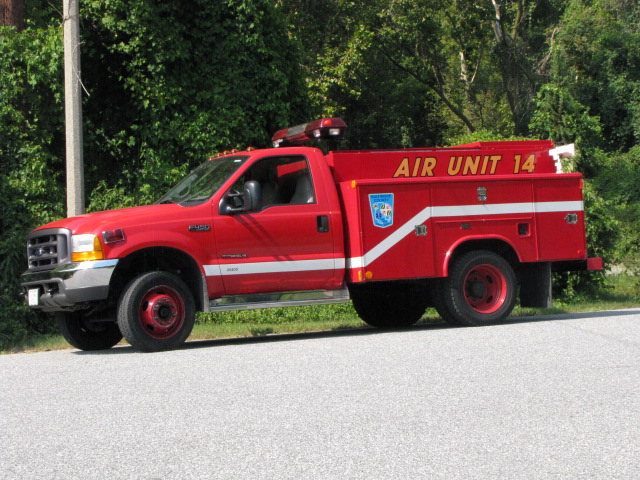
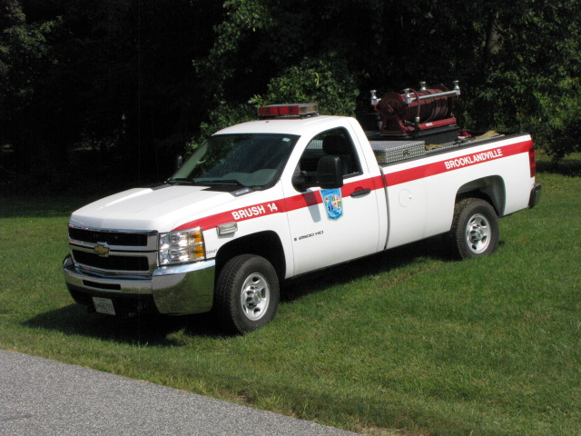
Misc Other Equipment
Because of where I live, off Charles Street
and the Beltway, we are lucky (if you wanna call it that) to have TWO hospitals
about a mile from the Beltway, I-695 - GBMC (Greater Baltimore Medical Center)
and St. Joes, therefore, we see a LOT of equipment from other stations besides
those noted on Map 1. Here is a small sampling of what I have been able to
catch as I have been driving around.
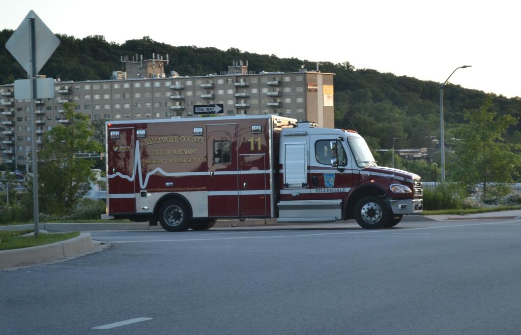 Ambo 11, Hillendale, getting off the outer loop (westbound) of
the Beltway.
Ambo 11, Hillendale, getting off the outer loop (westbound) of
the Beltway.
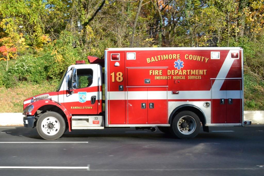 Ambo 18, Randallstown, on the eastbound side of the Beltway
getting ready to get off at Charles St.
Ambo 18, Randallstown, on the eastbound side of the Beltway
getting ready to get off at Charles St.
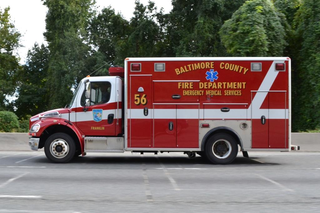 Ambo 56, Franklin, also on the eastbound side of the Beltway
getting ready to get off at Charles St.
Ambo 56, Franklin, also on the eastbound side of the Beltway
getting ready to get off at Charles St.
 Ambo 55, seen on Perring Pkwy and Joppa Road, not quite near
Charles St.
Ambo 55, seen on Perring Pkwy and Joppa Road, not quite near
Charles St.
 Medic 475, Jacksonville VFCo, heading south to the hospitals on Charles St
by Bellona/Kennilworth. http://www.jvfc.com/
Medic 475, Jacksonville VFCo, heading south to the hospitals on Charles St
by Bellona/Kennilworth. http://www.jvfc.com/
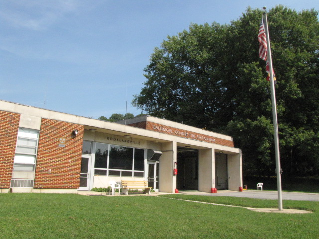
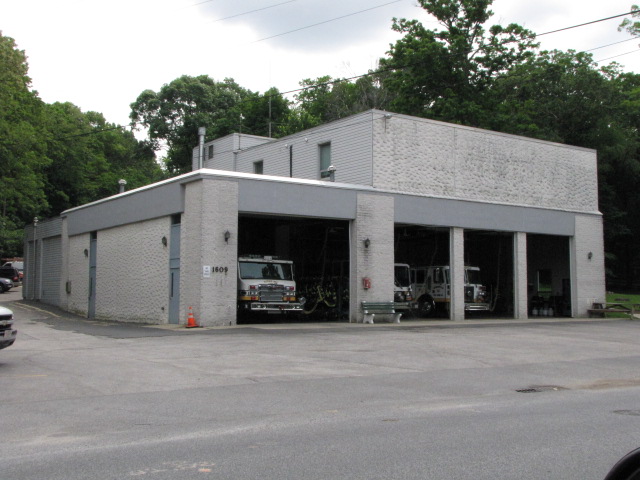
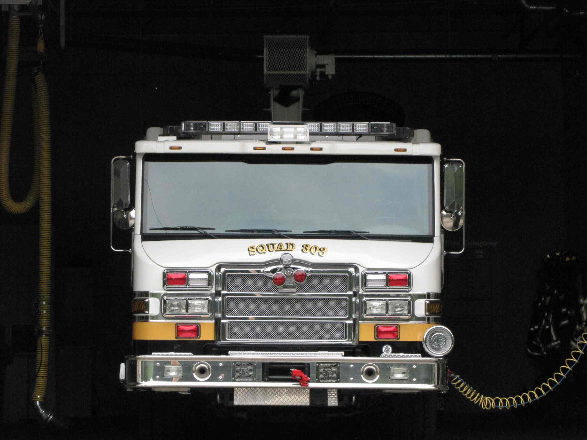
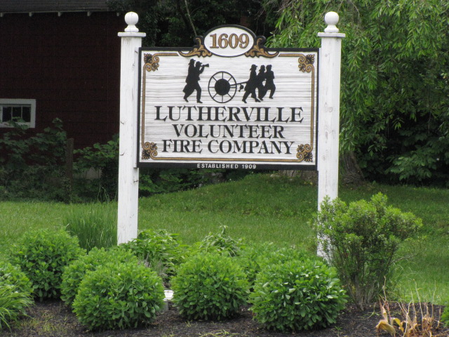
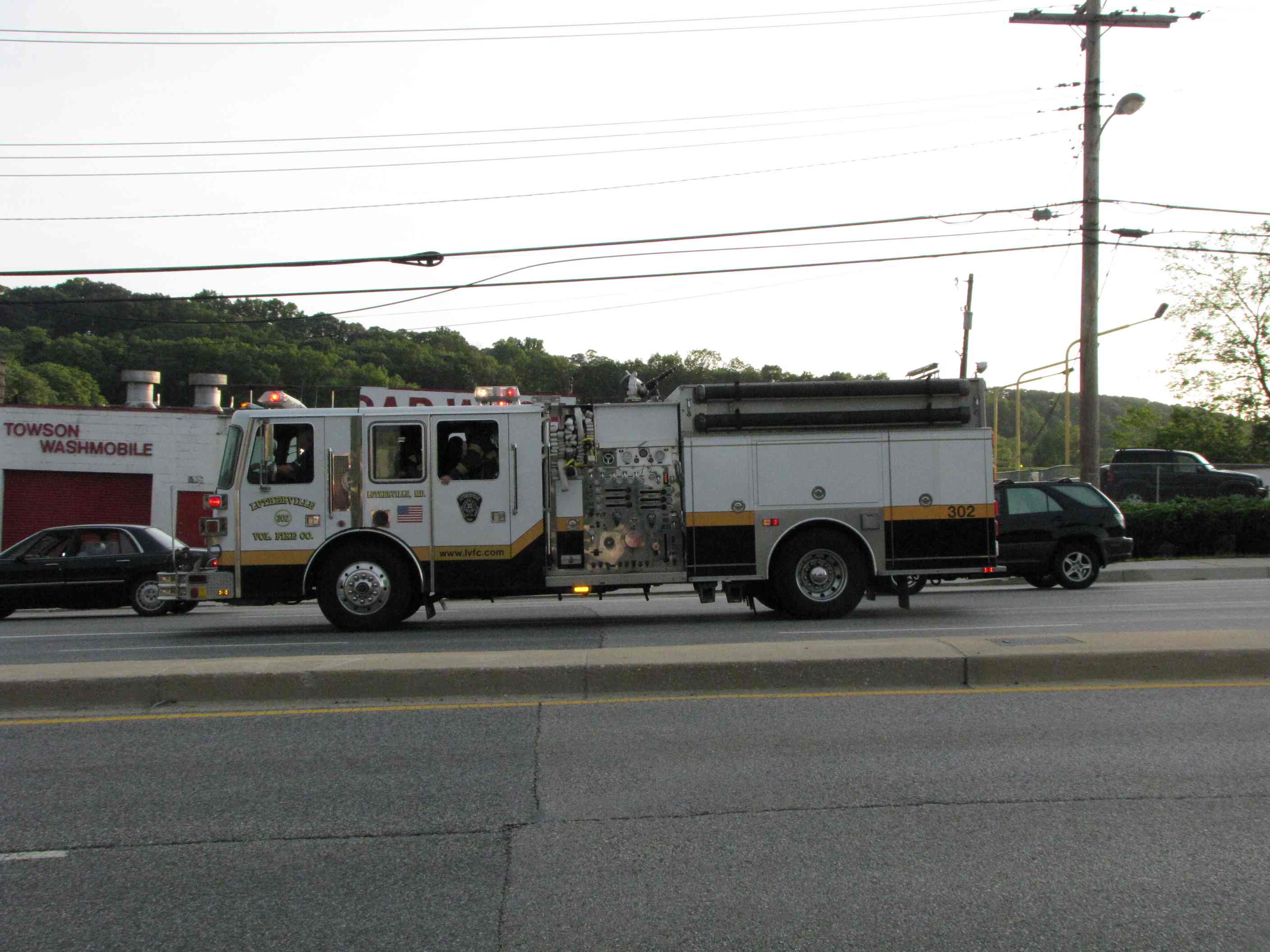
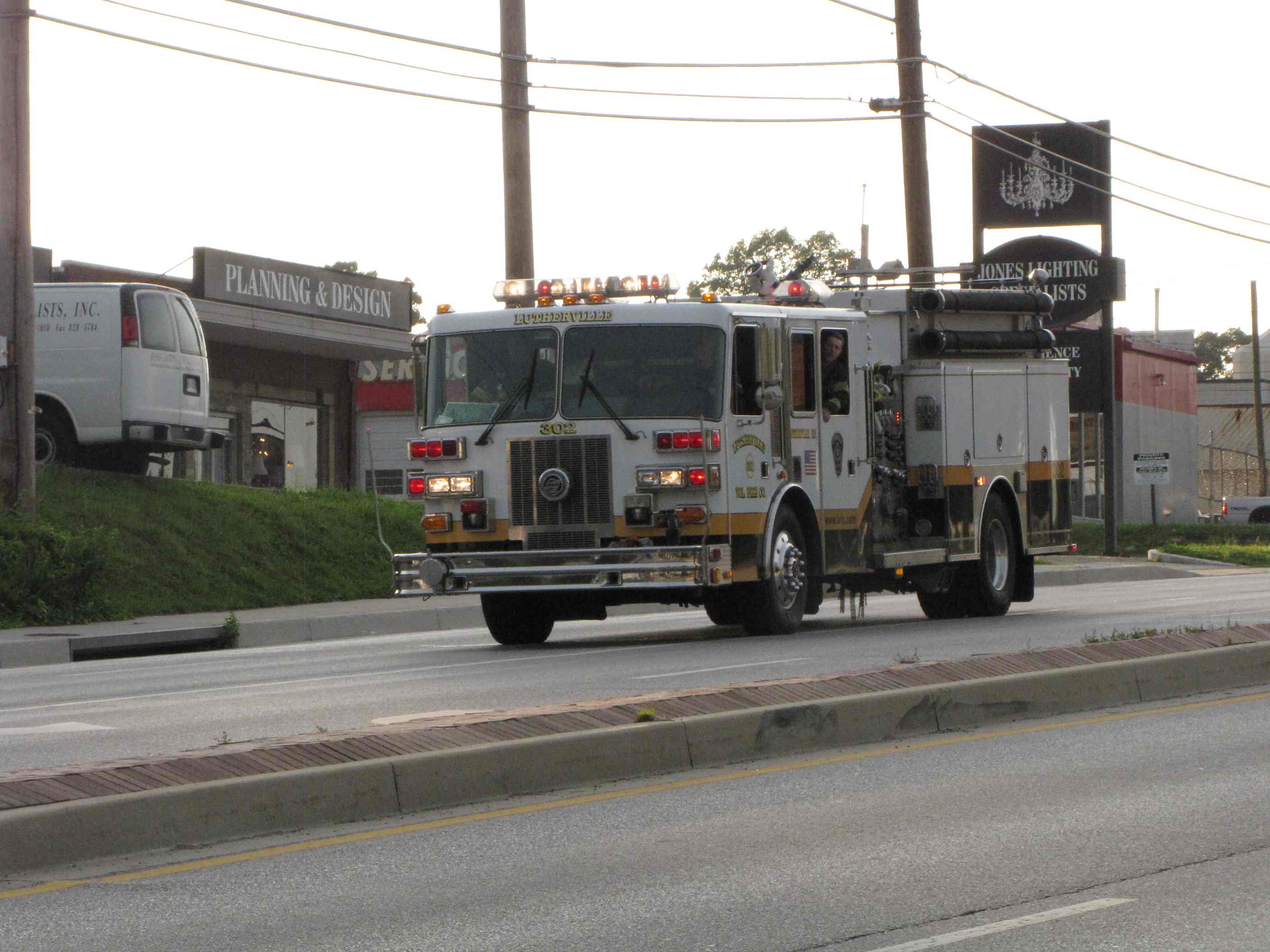
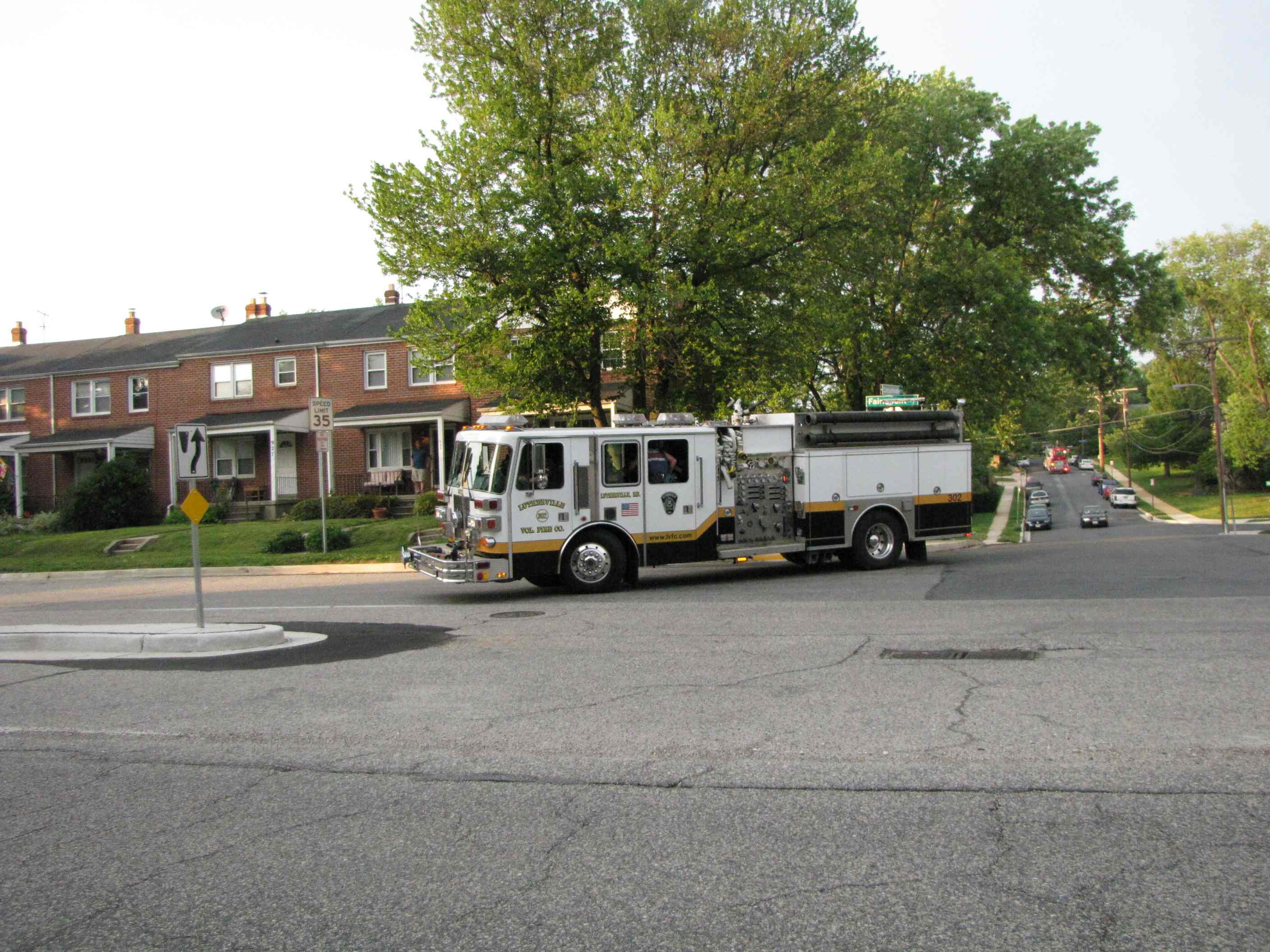
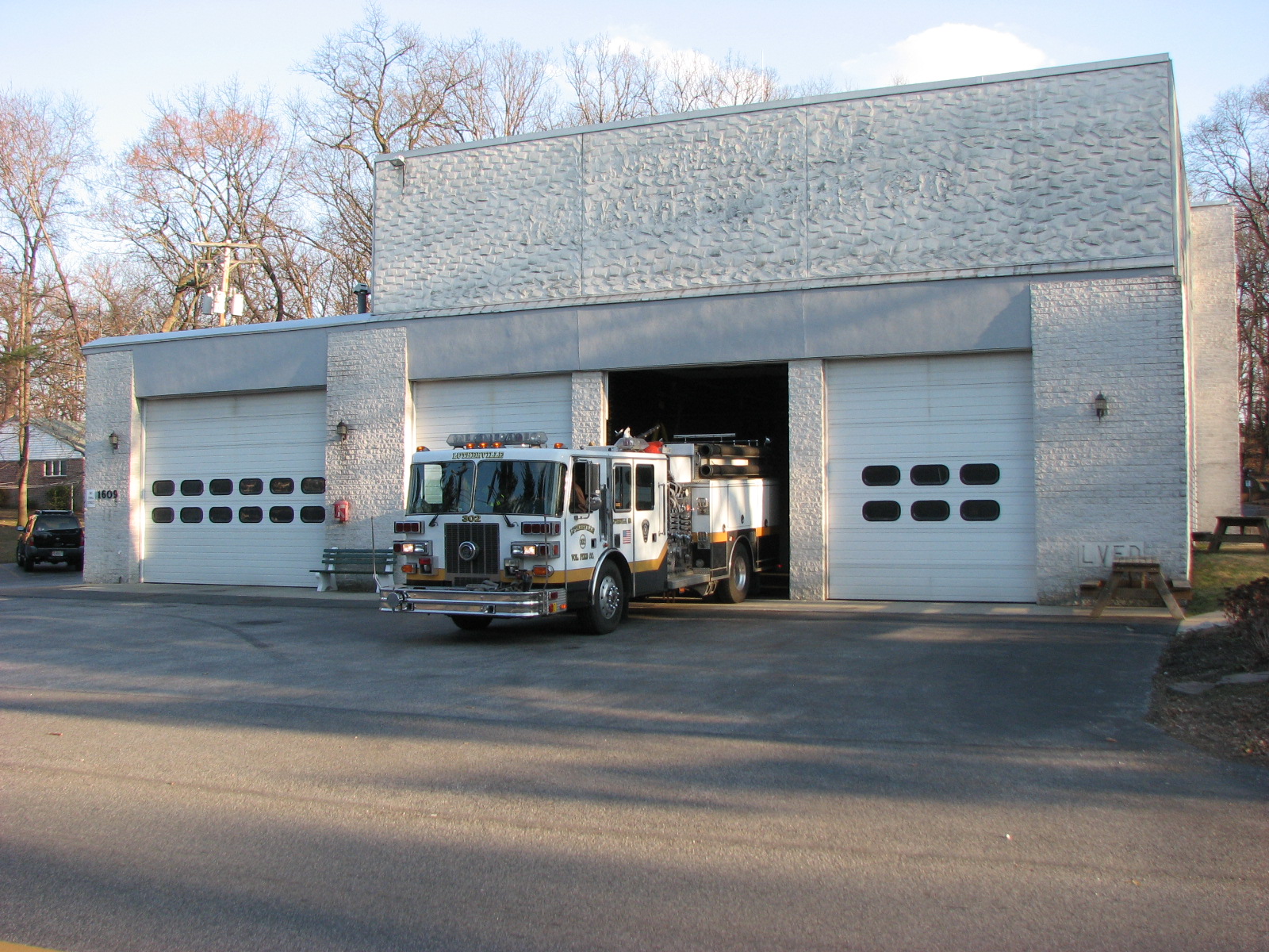
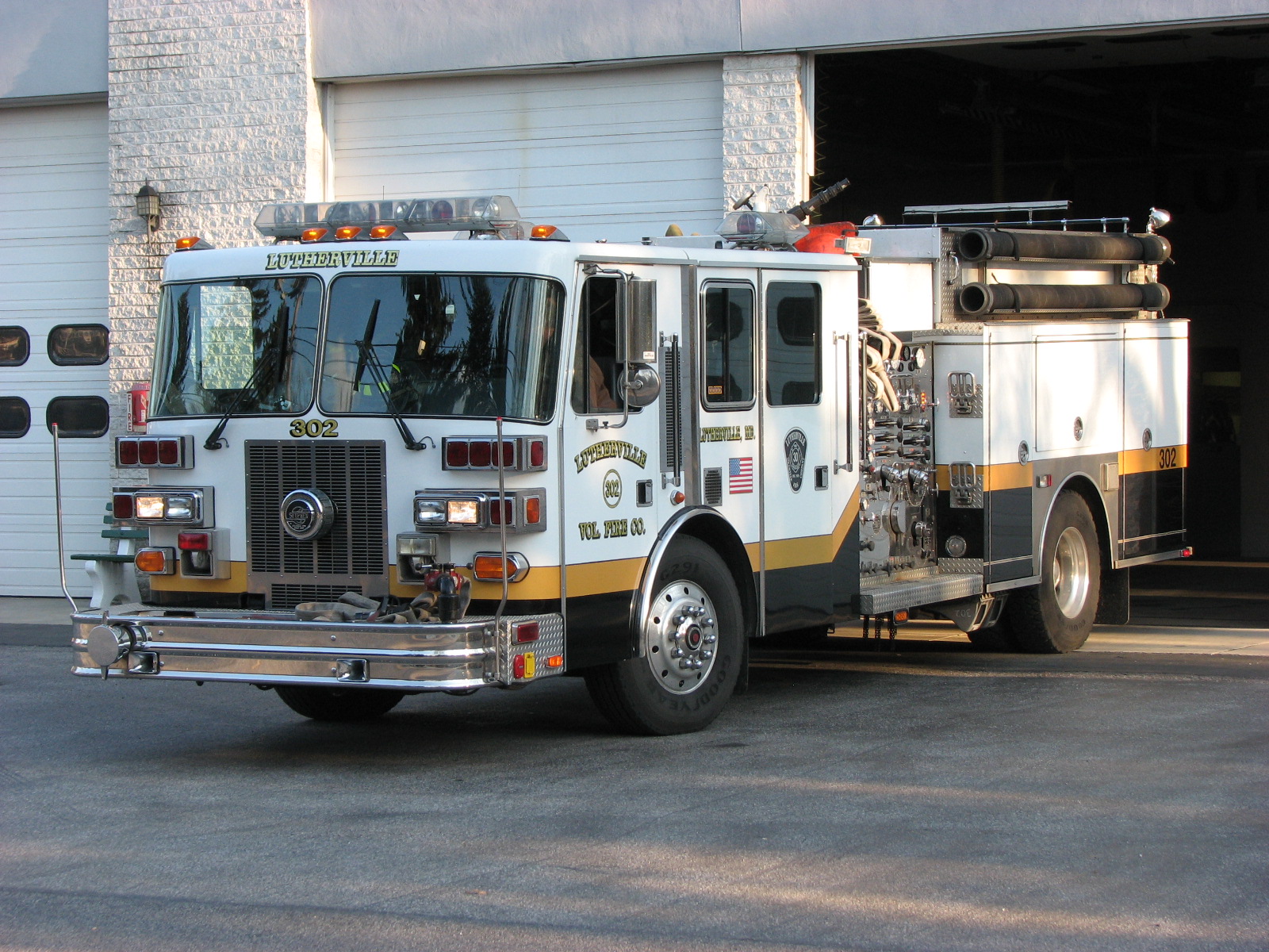
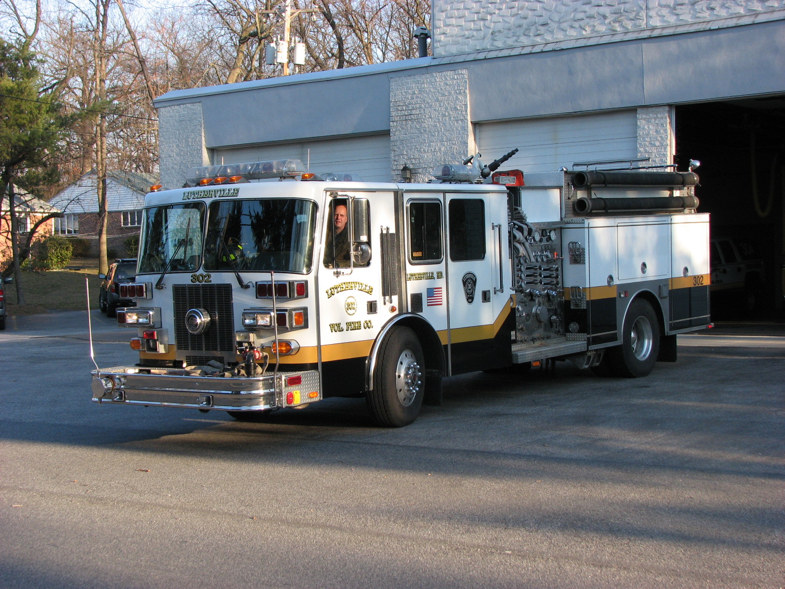
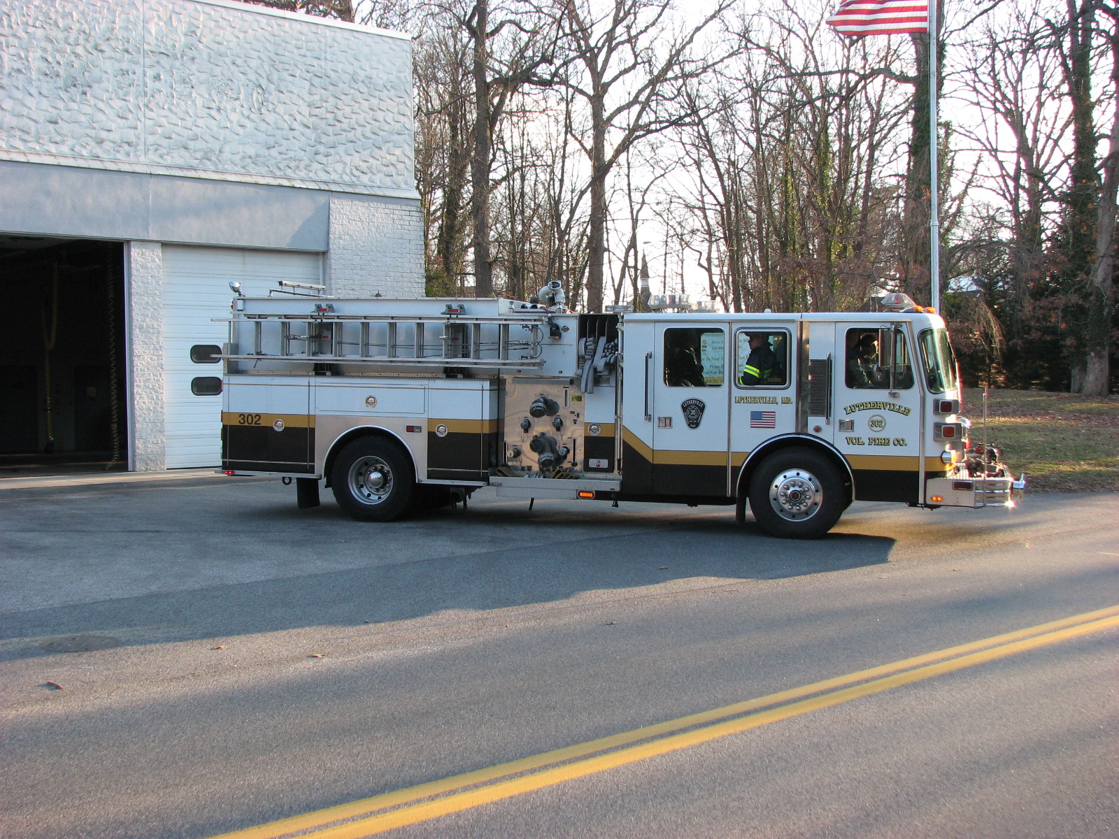
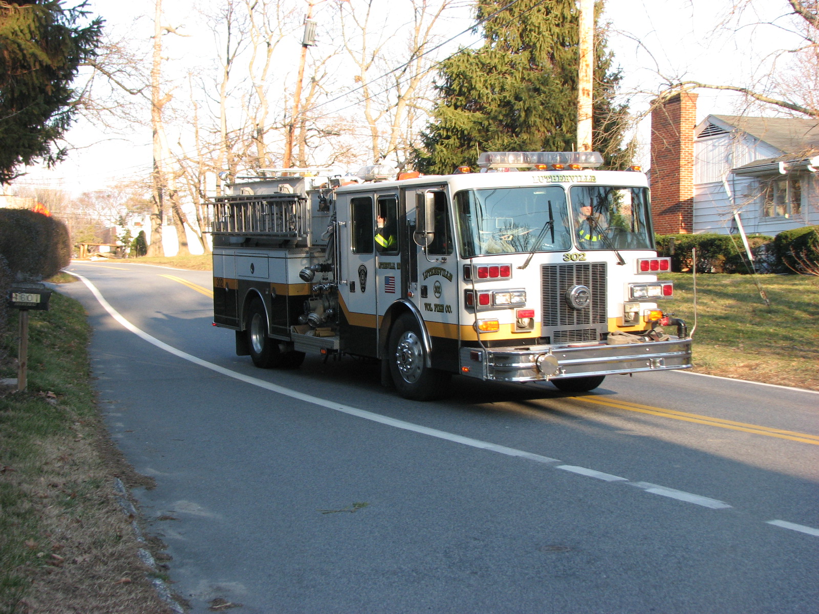
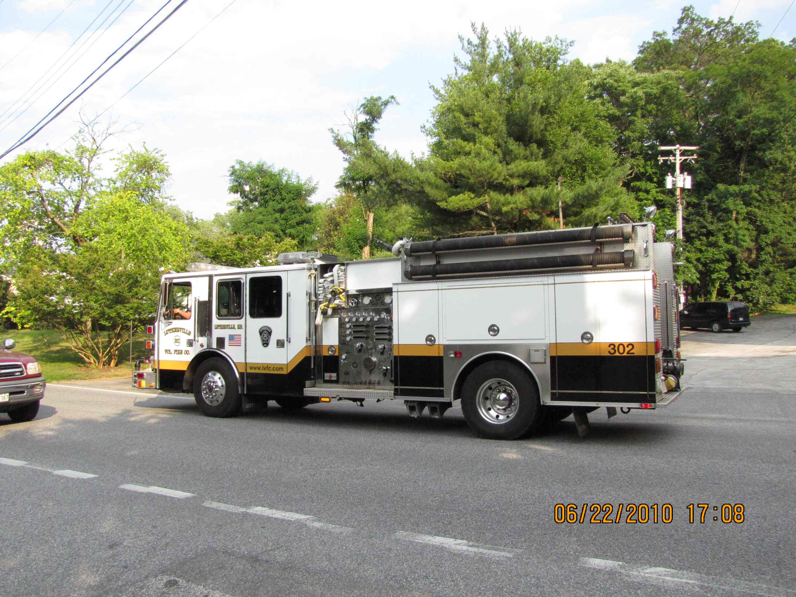
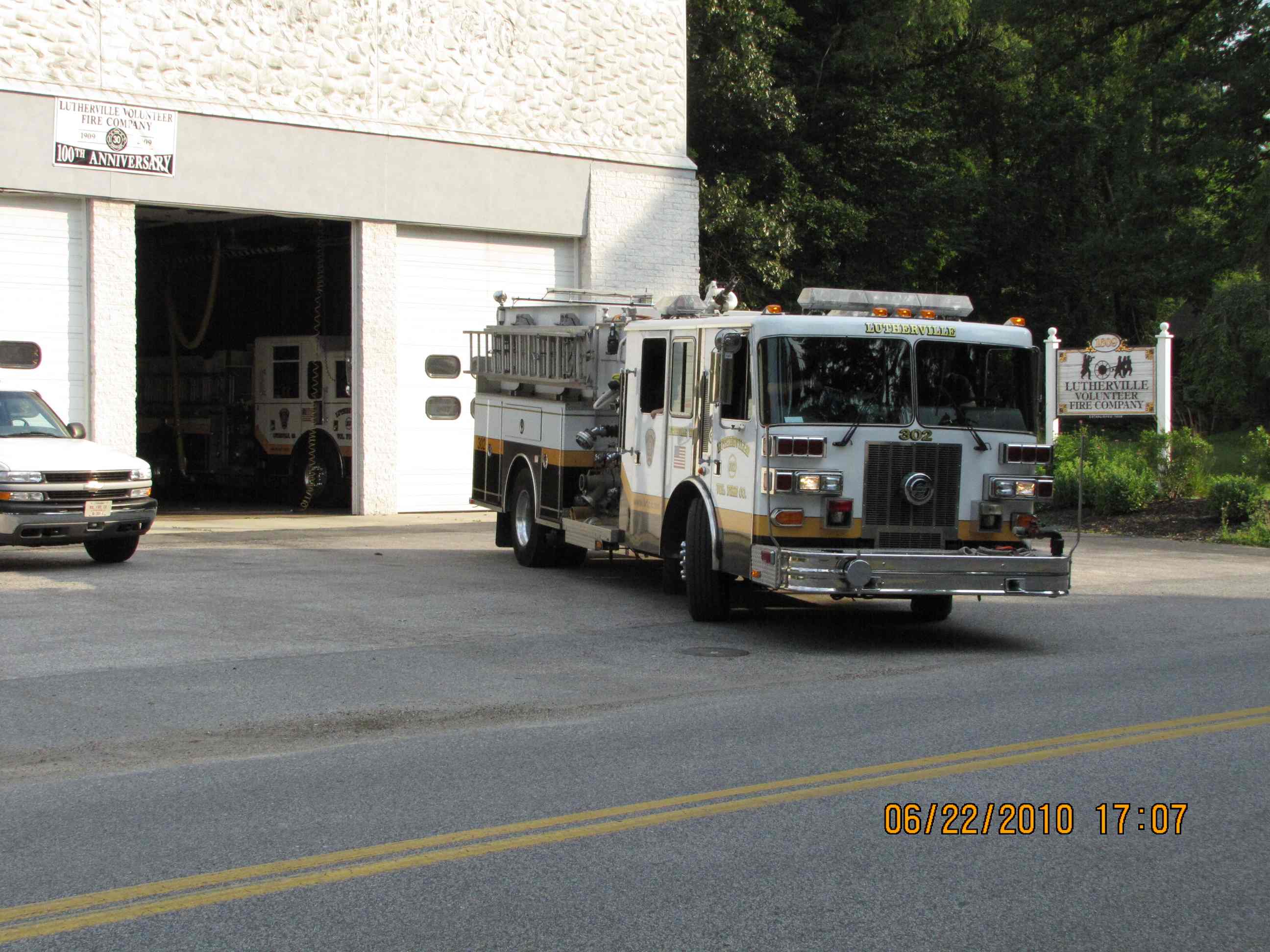
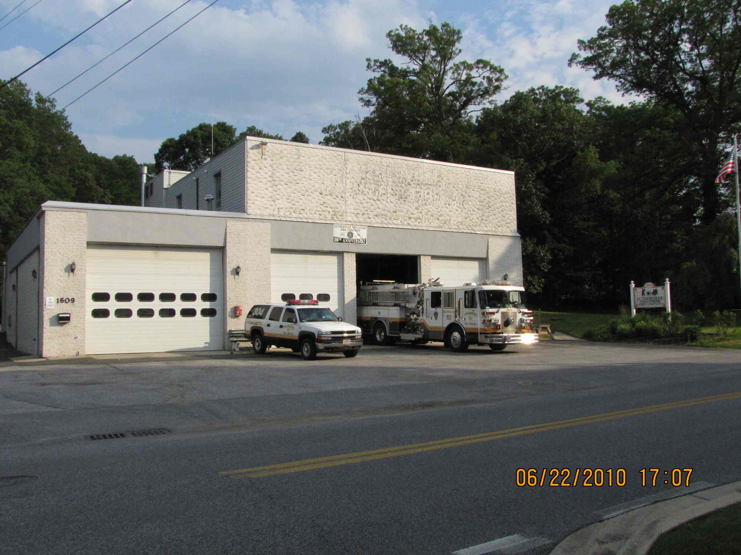
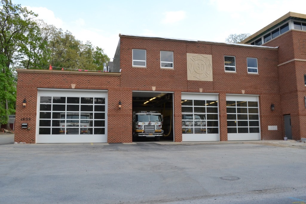
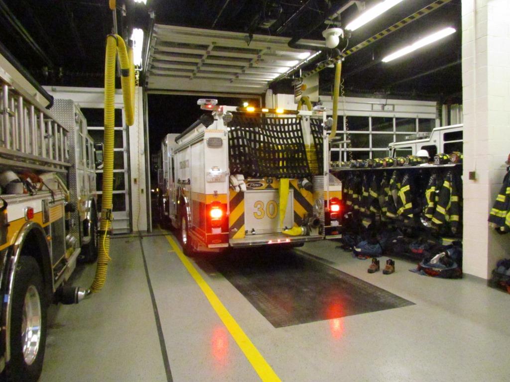
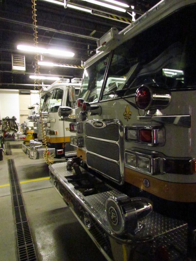
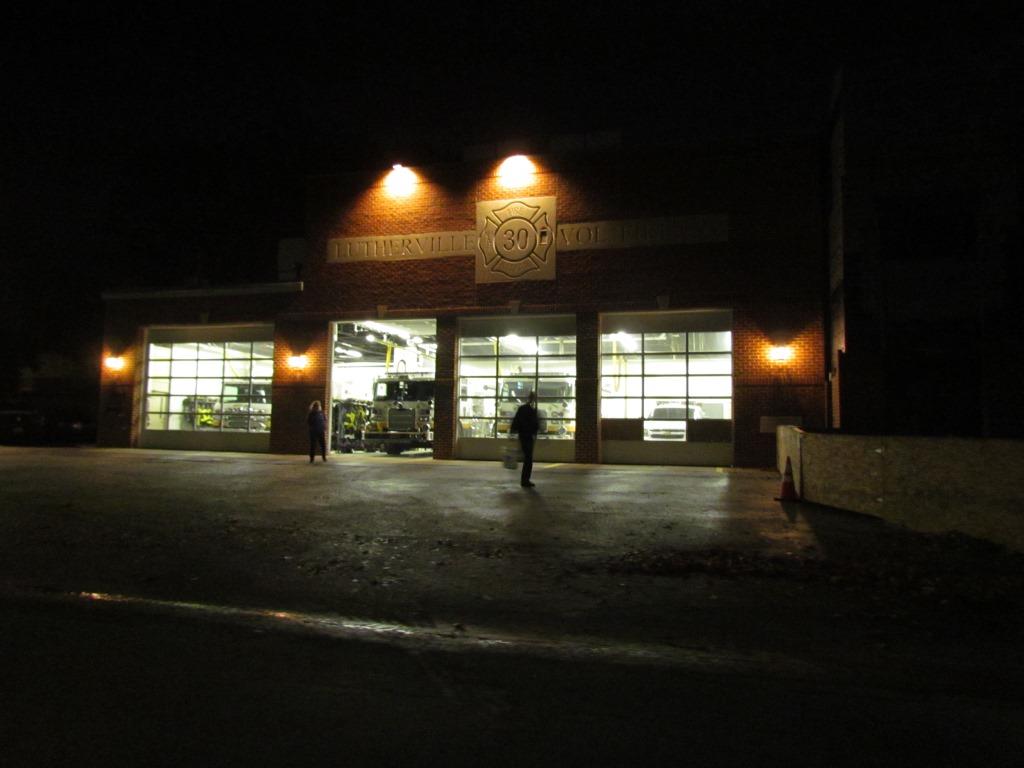
Lutherville is the closest station to where I live. They have the distinction of being the only company in the county that has a truck outfitted especially for vehicle rescue, truck 303. They just got a new 303 in 2011, replacing the older truck that had been in service for about 25 years. As of 2012, Lutherville wanted to double the size of the firehouse into the adjoining lot to the right - it was completed over the summer of 2015.

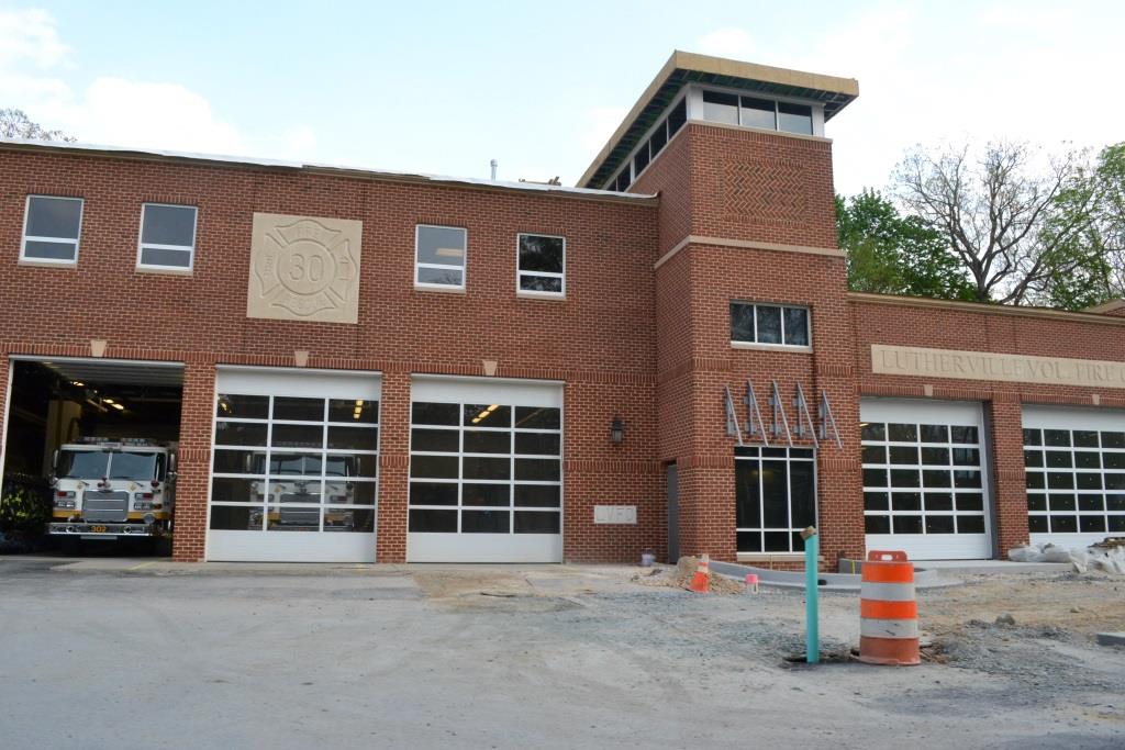
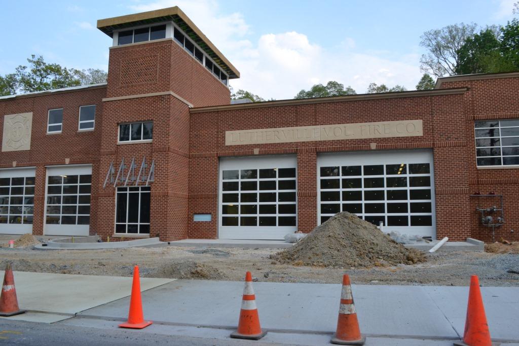
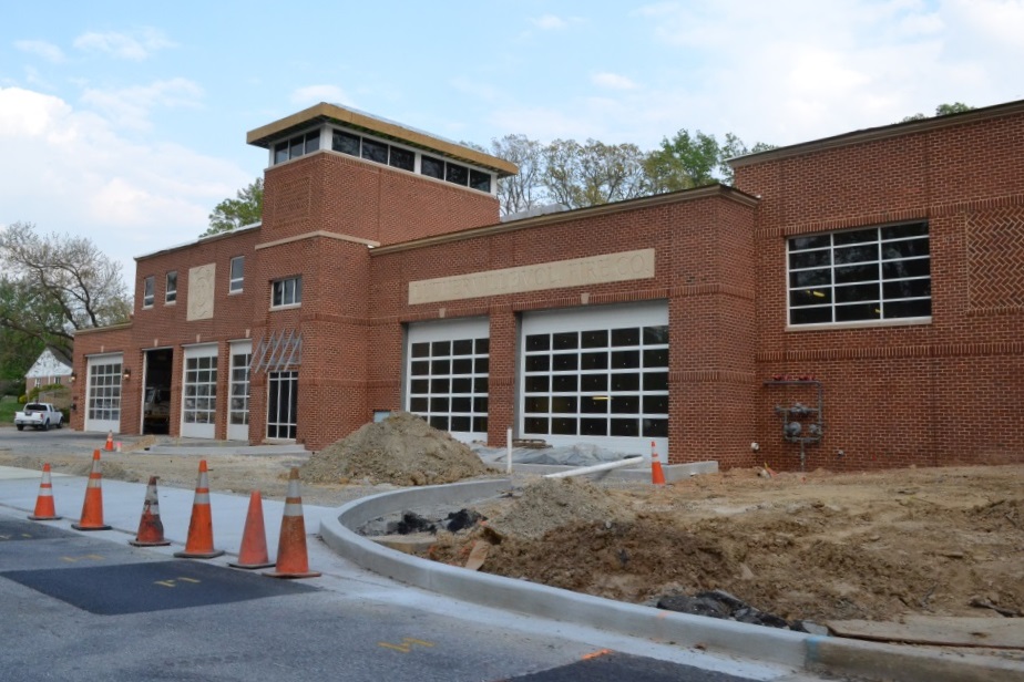 Construction pictures from May 2015.
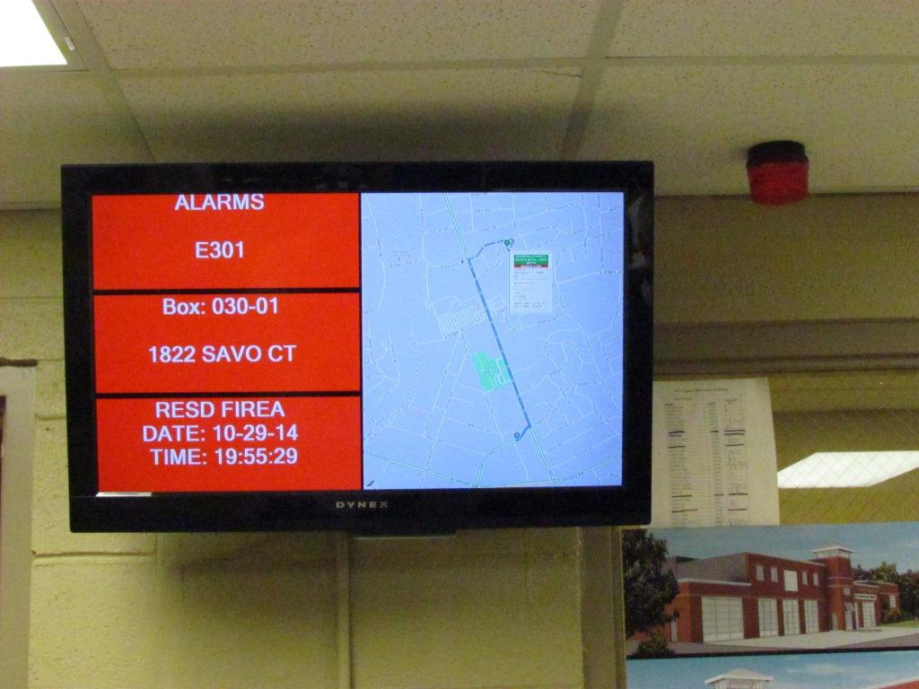
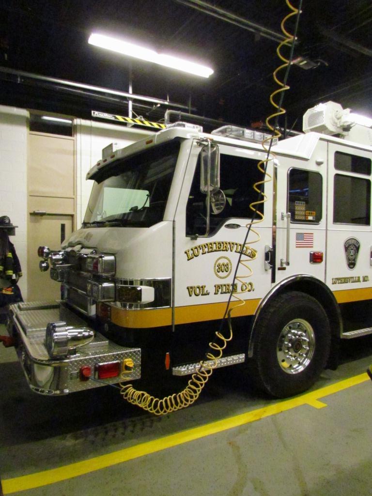
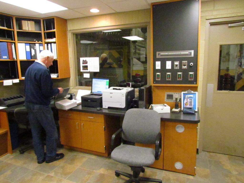

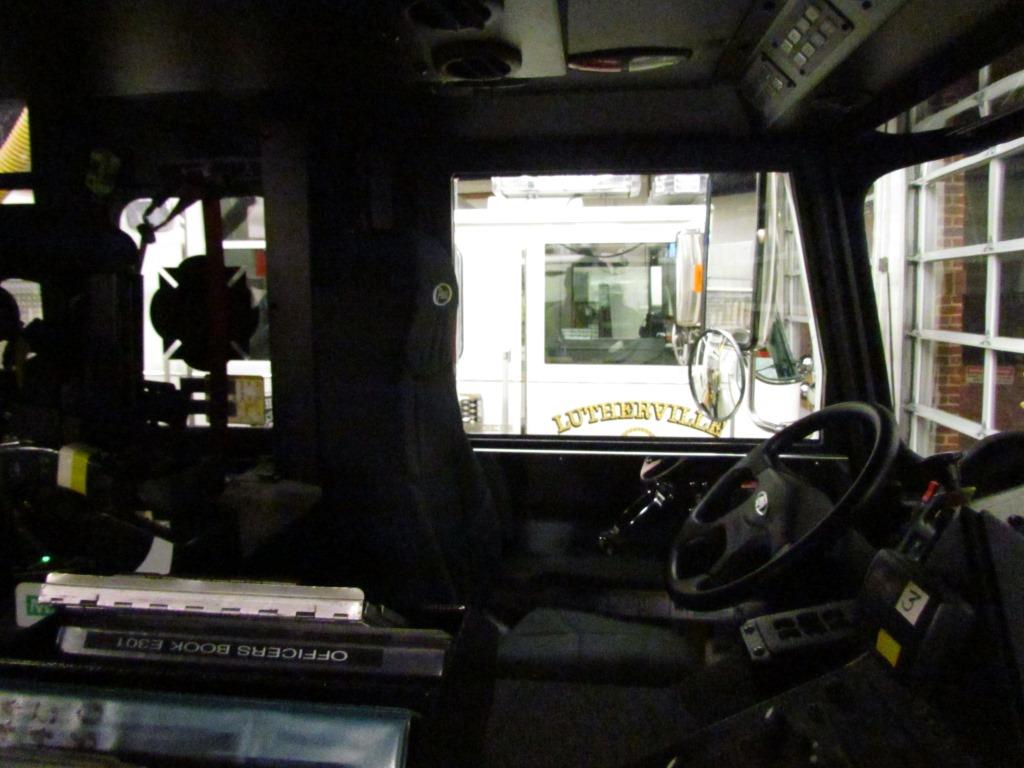
 Interior shots from October 2014.
 Ambo 395 in Timonium.
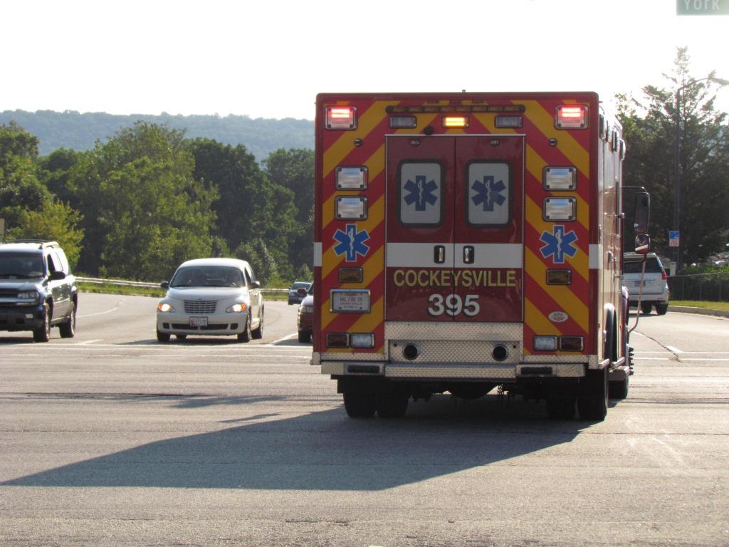
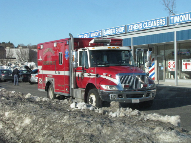
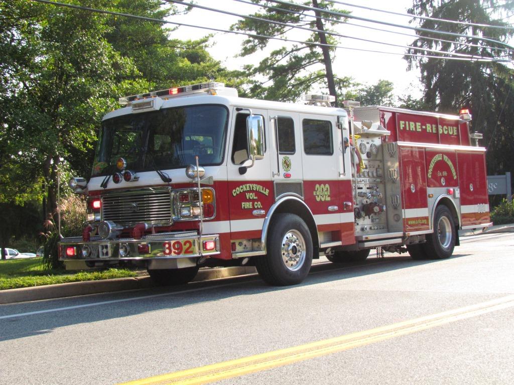 Ambo 395 and engine 392 caught near the station off Schilling Road.
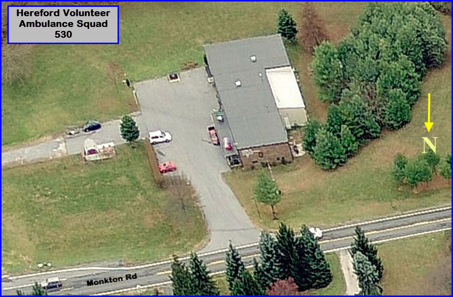
![]() Hereford Volunteer Ambulance Squad
Hereford Volunteer Ambulance Squad
 GPS:
39.590225, -76.648094 http://hvaa.org/
GPS:
39.590225, -76.648094 http://hvaa.org/
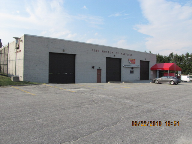
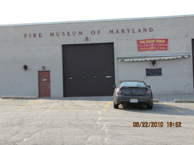
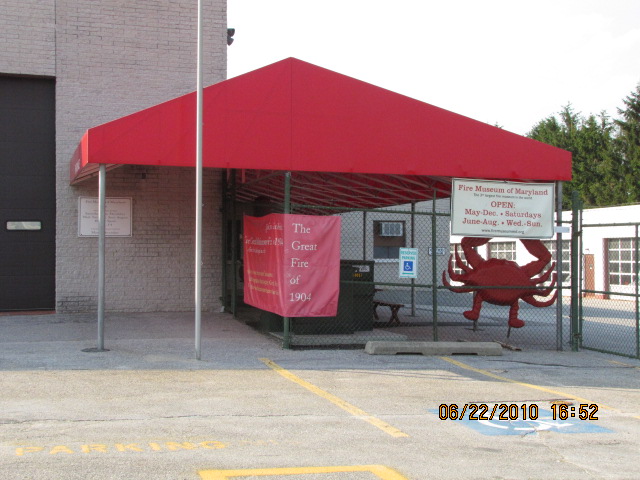
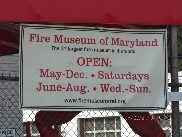
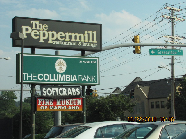
![]() the Maryland Fire Museum
the Maryland Fire Museum
GPS: 39.419041, -76.613518
Located in Lutherville, off York Rd (exit 26
off the Beltway), turn when you see the sign below.

![]() Baltimore
County Police Precinct 6 - Towson
Baltimore
County Police Precinct 6 - Towson
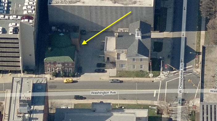
Baltimore County built a new Towson Police
Station in the 90's, replacing the old one on Washington Ave. For more info on the BaltCo police precincts:
http://www.baltimorecountymd.gov/Agencies/police/precinctsall.html
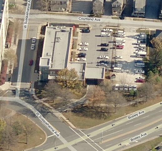
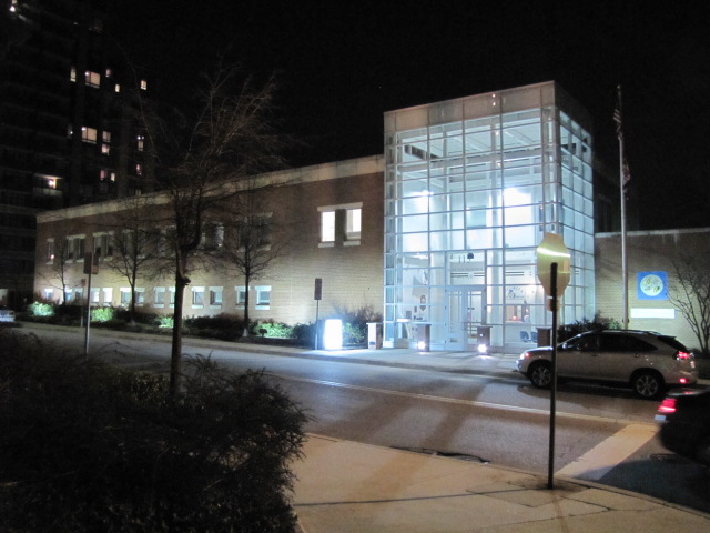
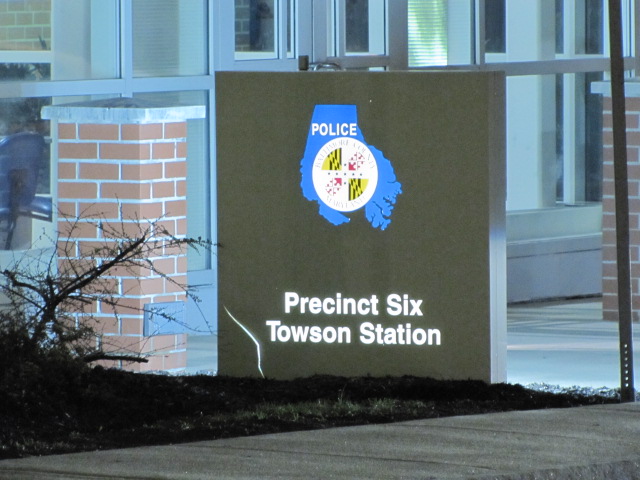
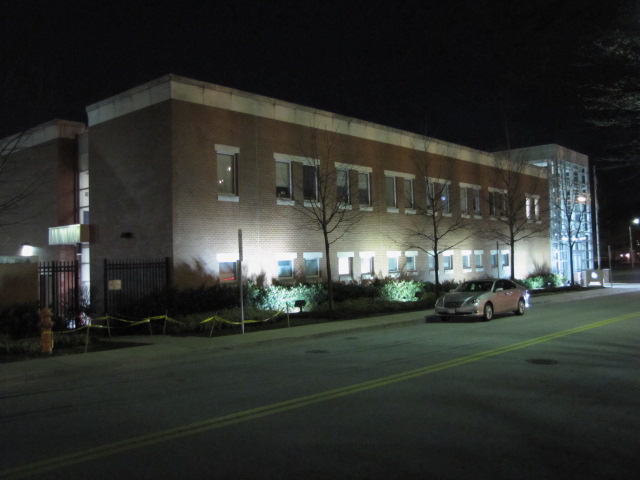 The "new" home of precinct 6, opened for business in 2001
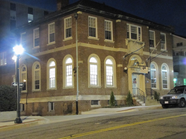
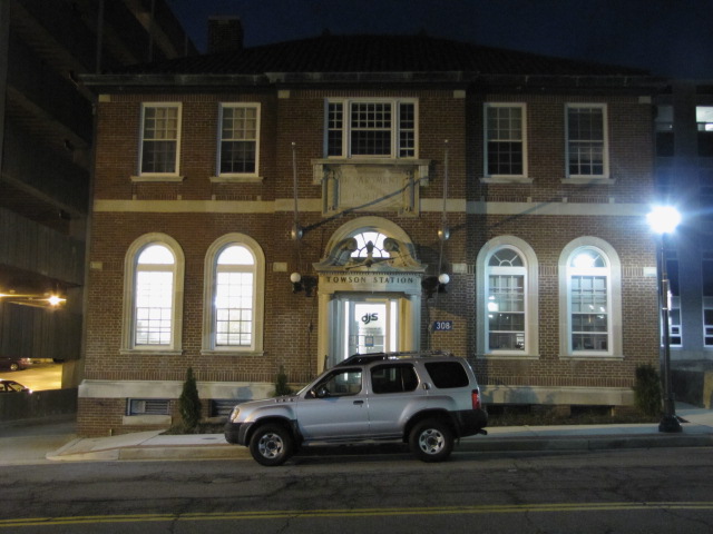
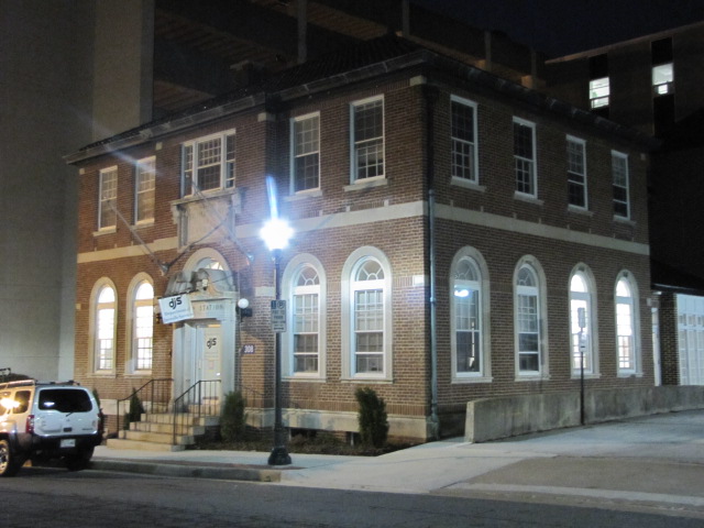
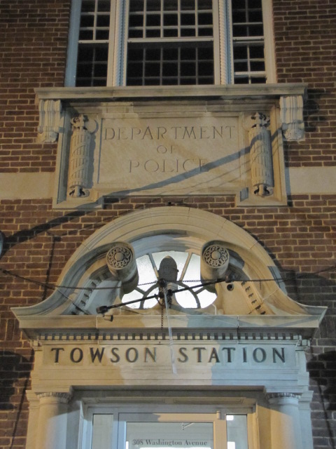
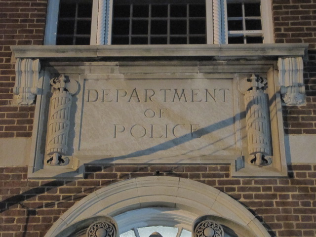
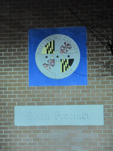
 The old Towson Station
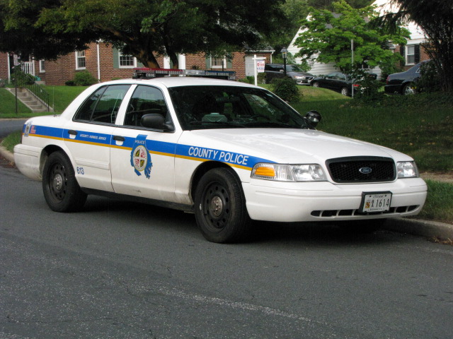
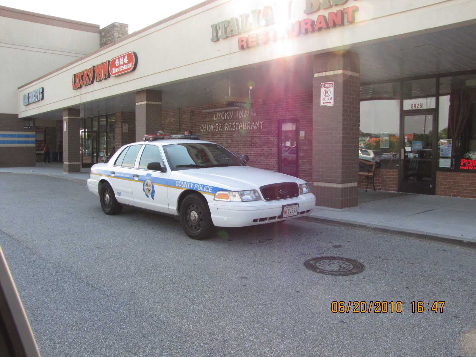
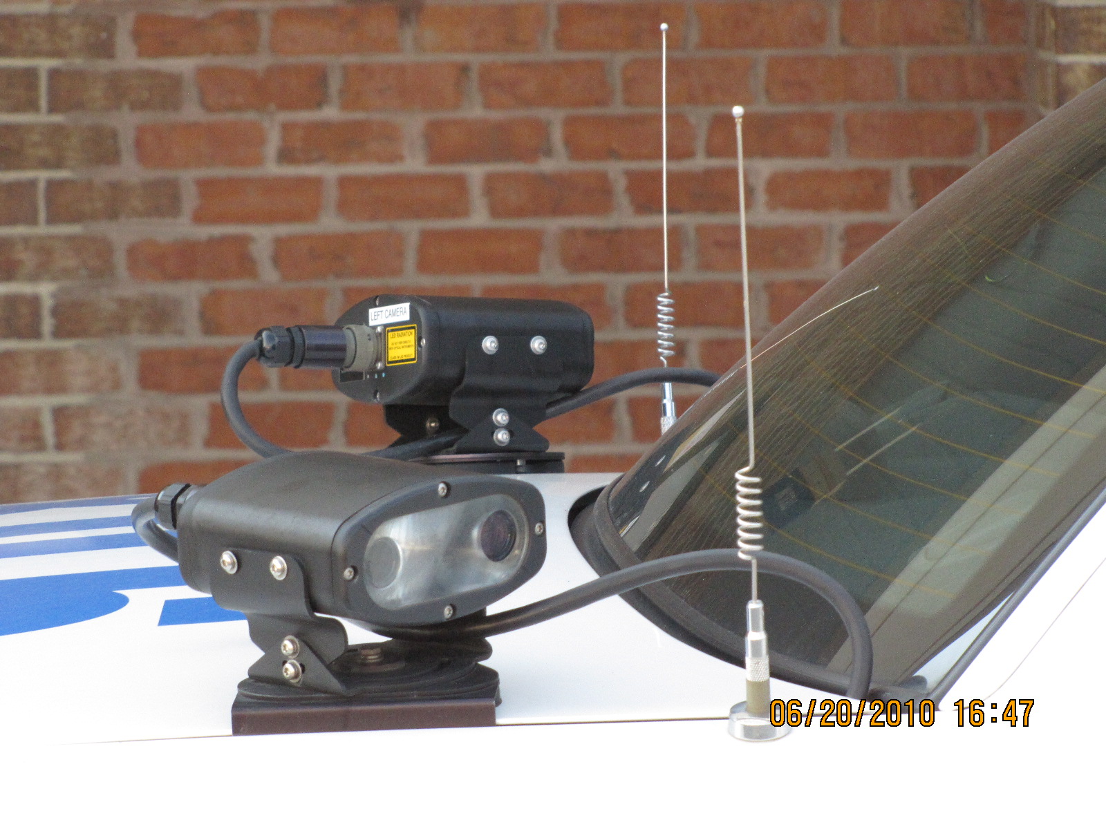
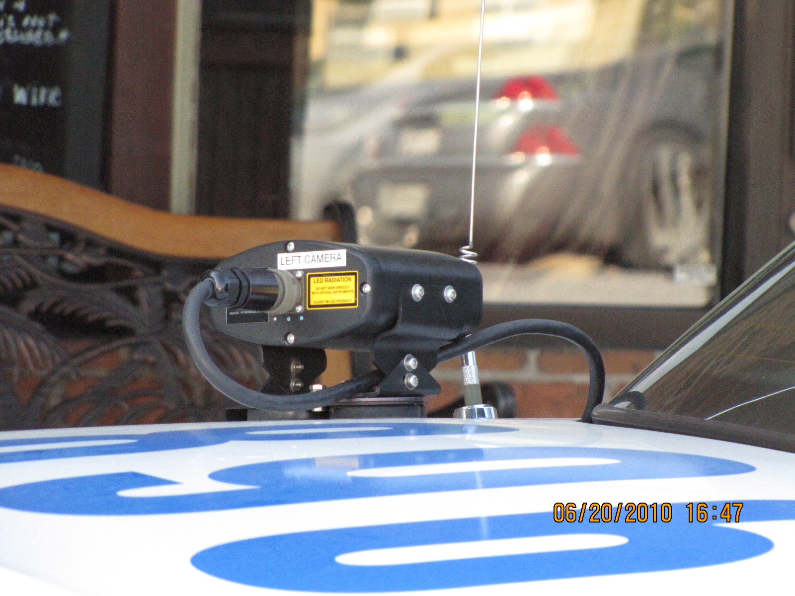
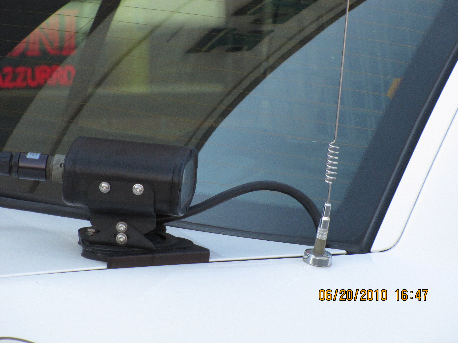
Patrol car outfitted with a nice pair of cameras, I want one! They are
used for automatic license plate ID'ing.
![]() Baltimore
County Police Precinct 7 - Cockeysville
Baltimore
County Police Precinct 7 - Cockeysville
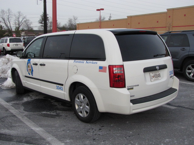
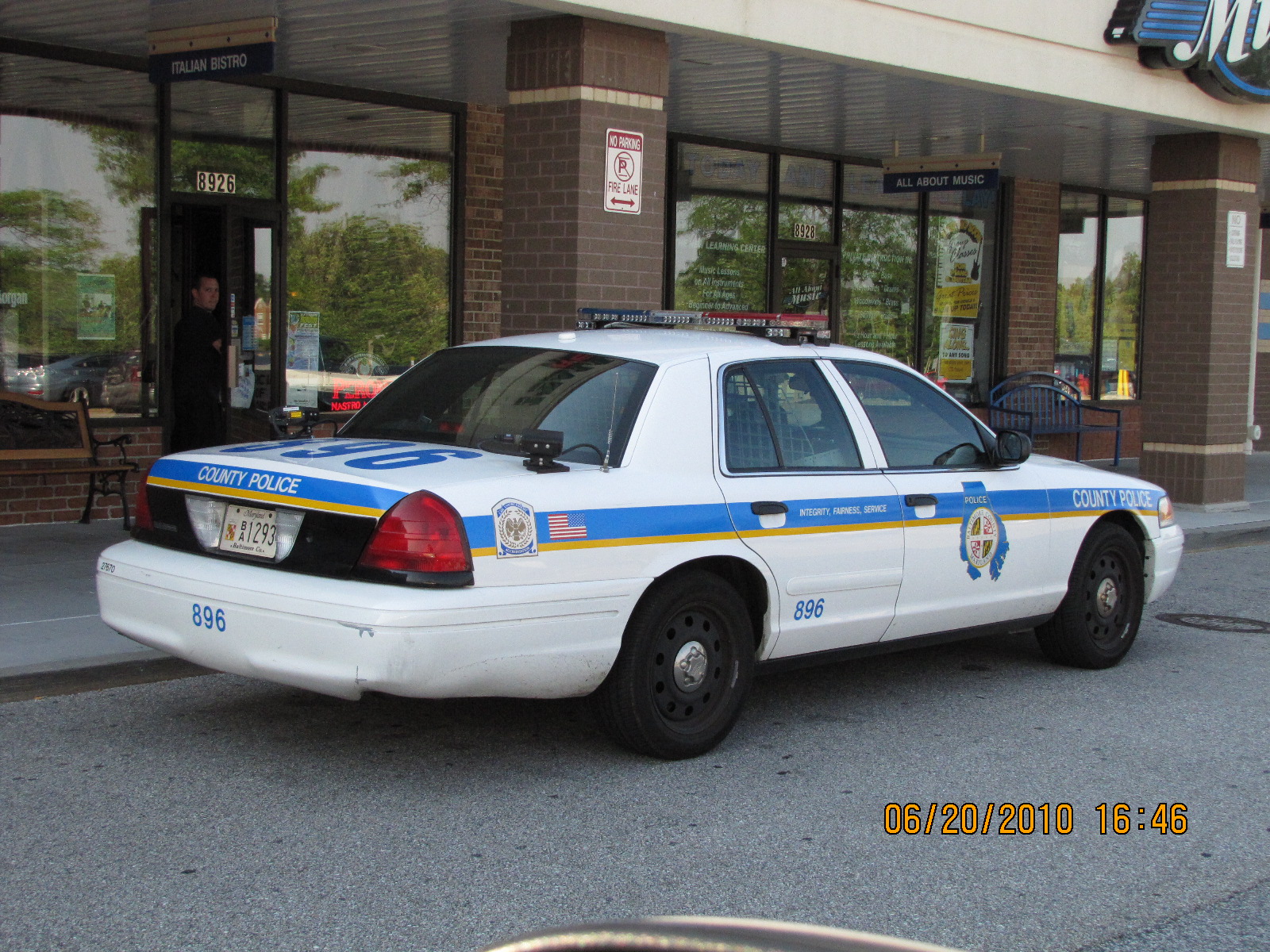
 Car 2042 - assigned to Forensic Services, caught at Target in
Texas, across from Station 17.
Car 2042 - assigned to Forensic Services, caught at Target in
Texas, across from Station 17.

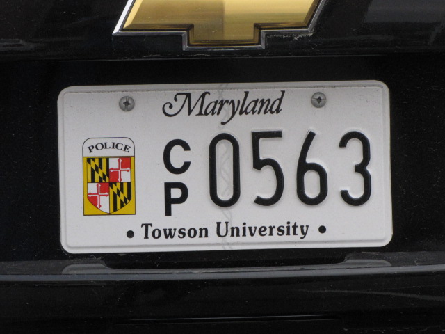
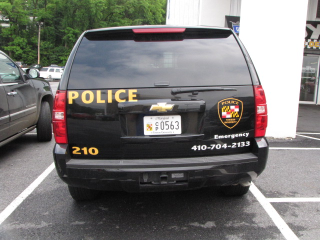
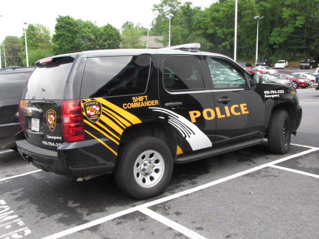
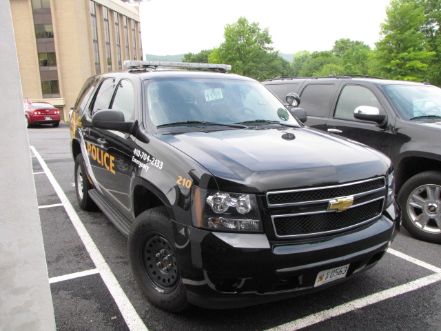
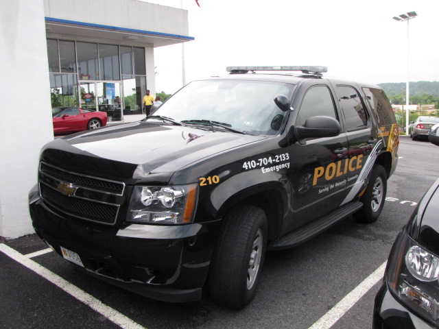
Towson State Univ Shift Commanders SUV - caught at Jerry's Chevrolet for service
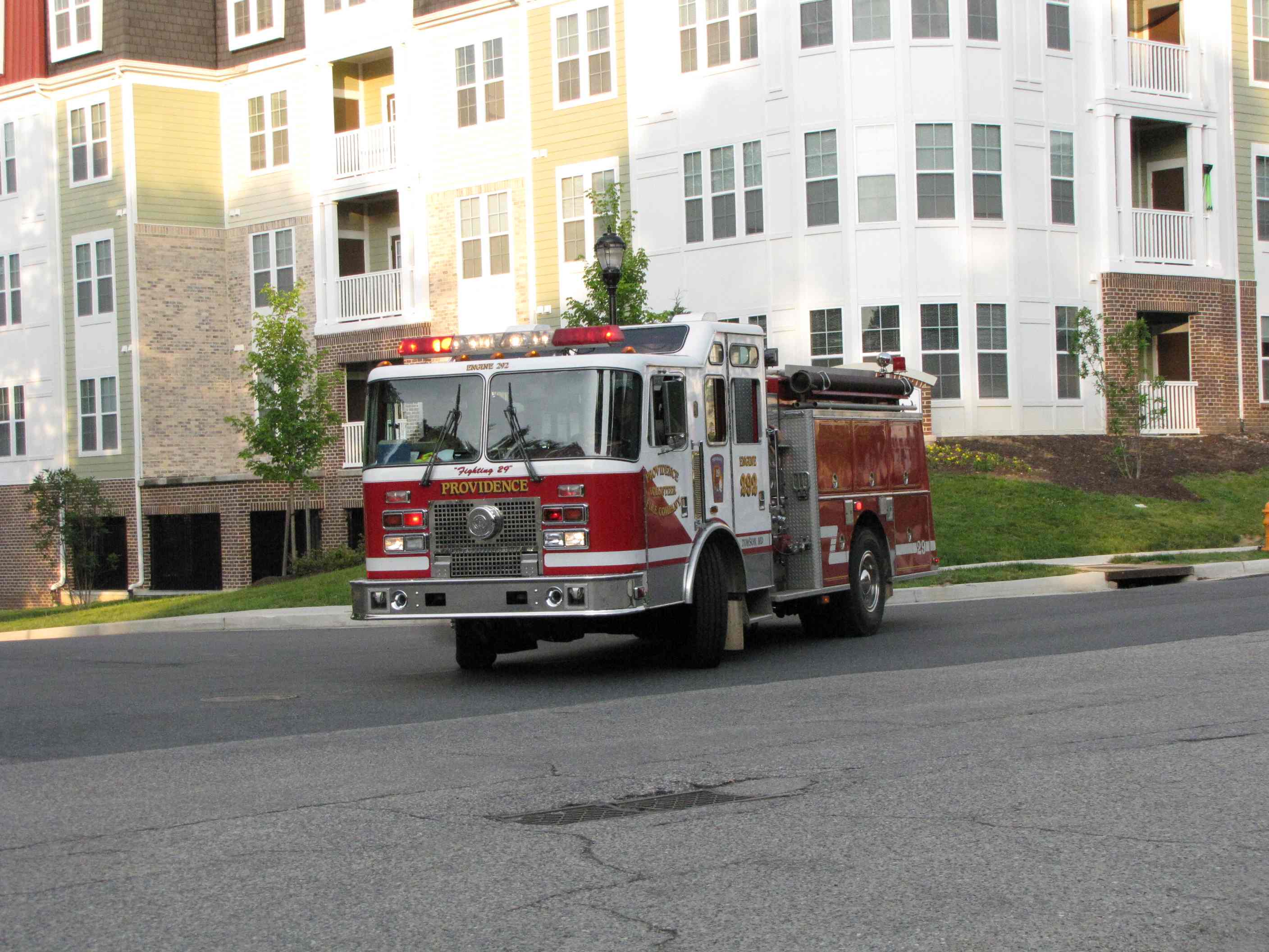
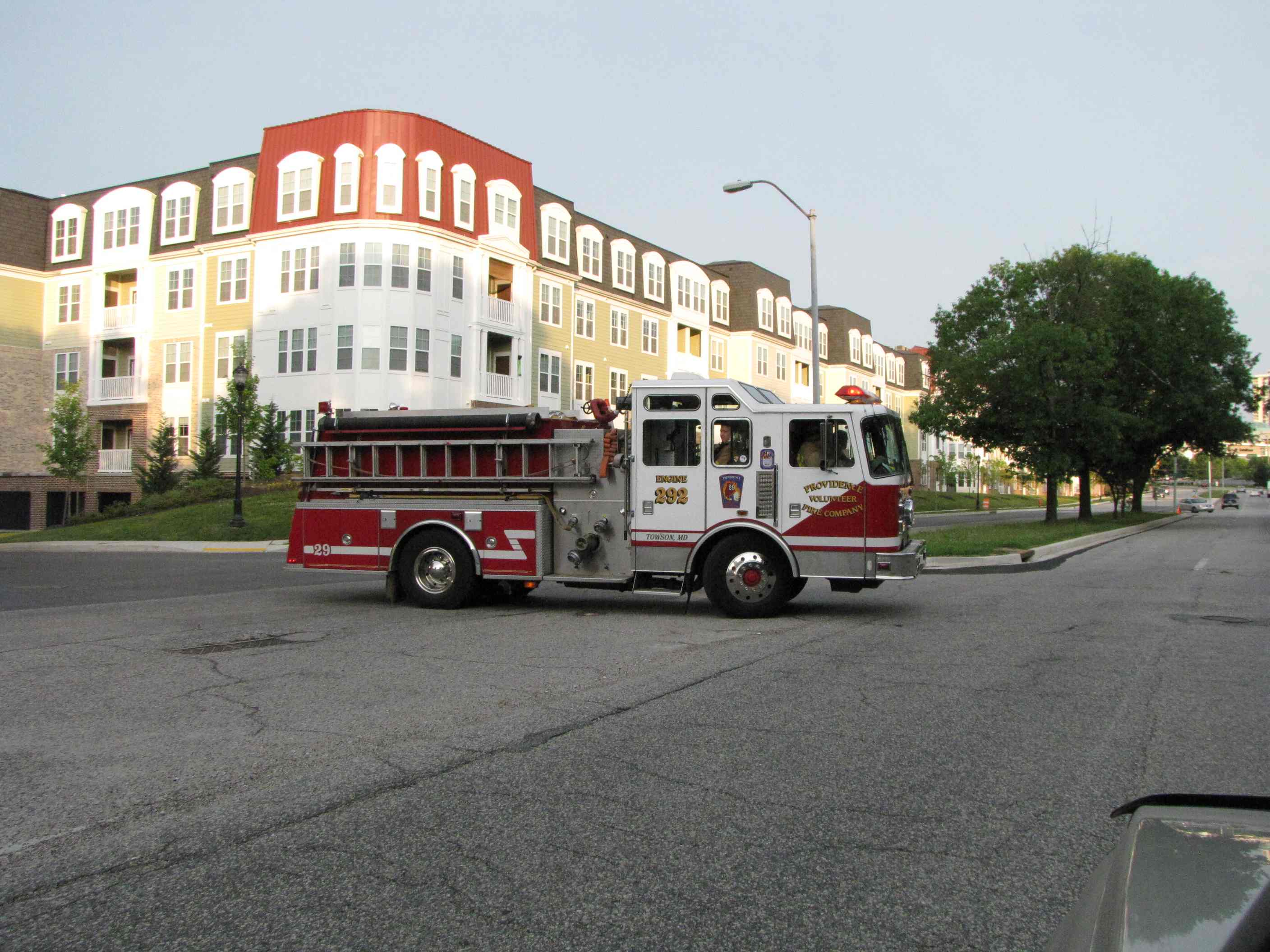 Providence Road Volunteers Truck 292 going home from fire in
Towson.
Providence Road Volunteers Truck 292 going home from fire in
Towson.
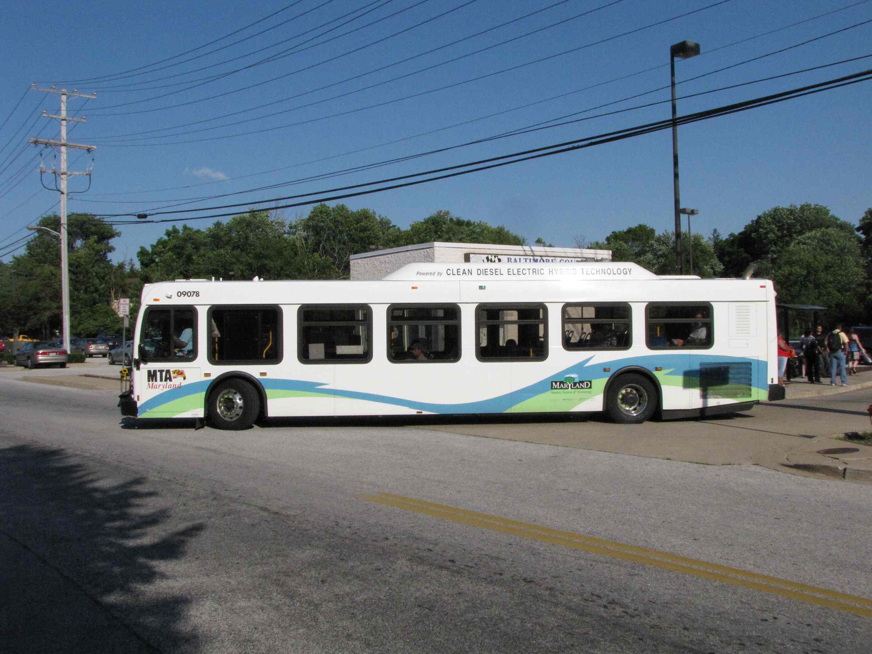
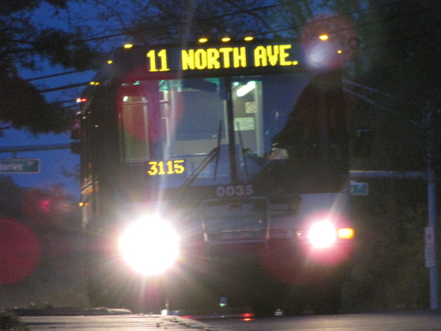 Bus on route 11 in Riderwood off Charles St, waiting for
operations to give it the go-ahead to go.
Bus on route 11 in Riderwood off Charles St, waiting for
operations to give it the go-ahead to go.
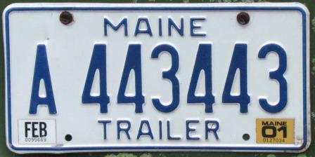 Seen somewhere around Towson.... Love the double 443
New SEP04/2007, NOV30/2015, JUL07/2021
Last Modified:
07/08/2021