
In General
Getting Here
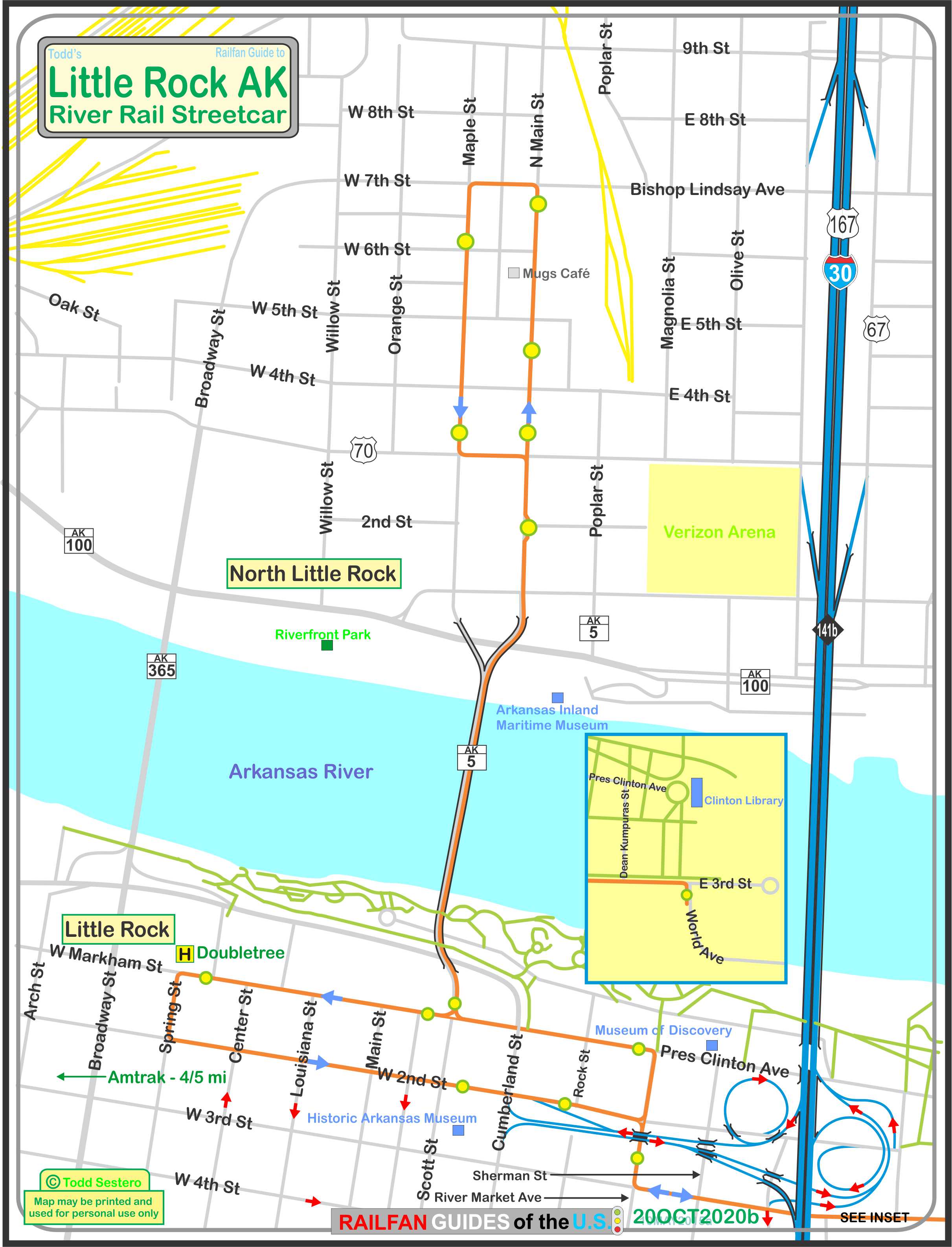
Map
Sights
Pictures
Floobydust
USGS Maps
RAILROAD SIGNALS HOME
Location / Name:
Little Rock and North Little Rock AK
What's Here:
A "new" vintage streetcar system
Scanner Frequencies:
?
Access by train/transit:
Amtrak is 4/5 of a mile west of the Markham & Spring station in Little Rock
The Scoop:
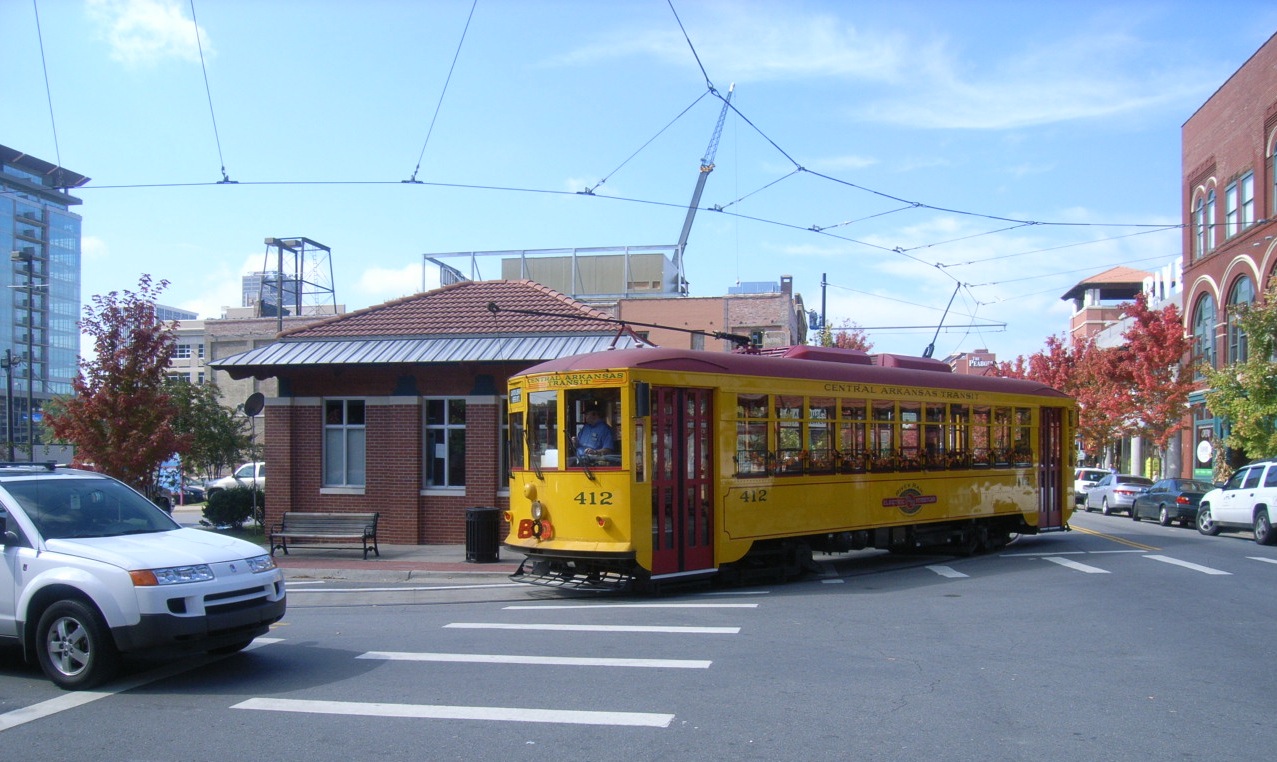
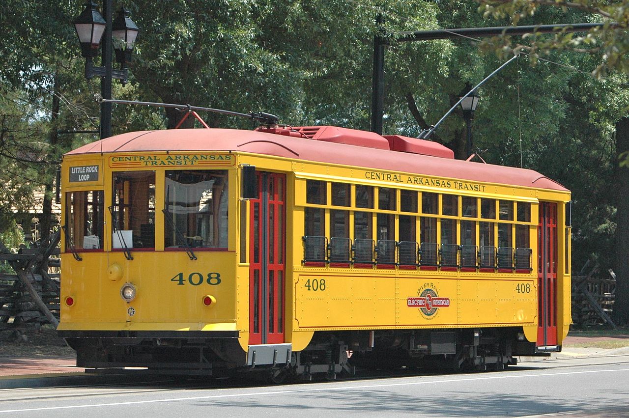
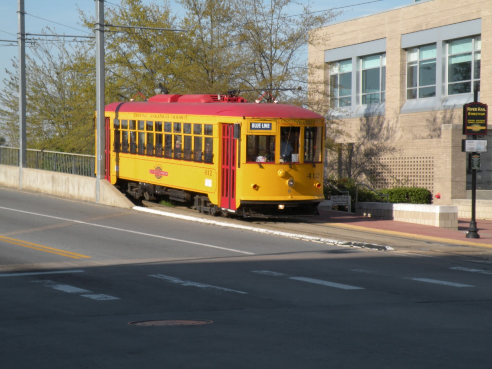
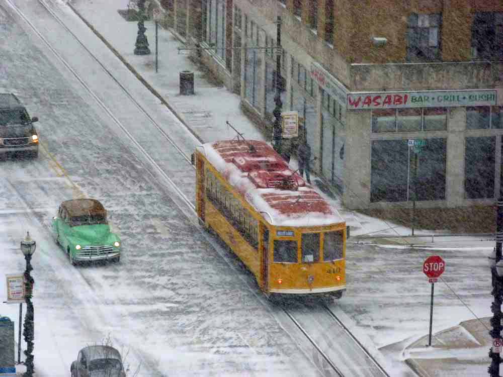
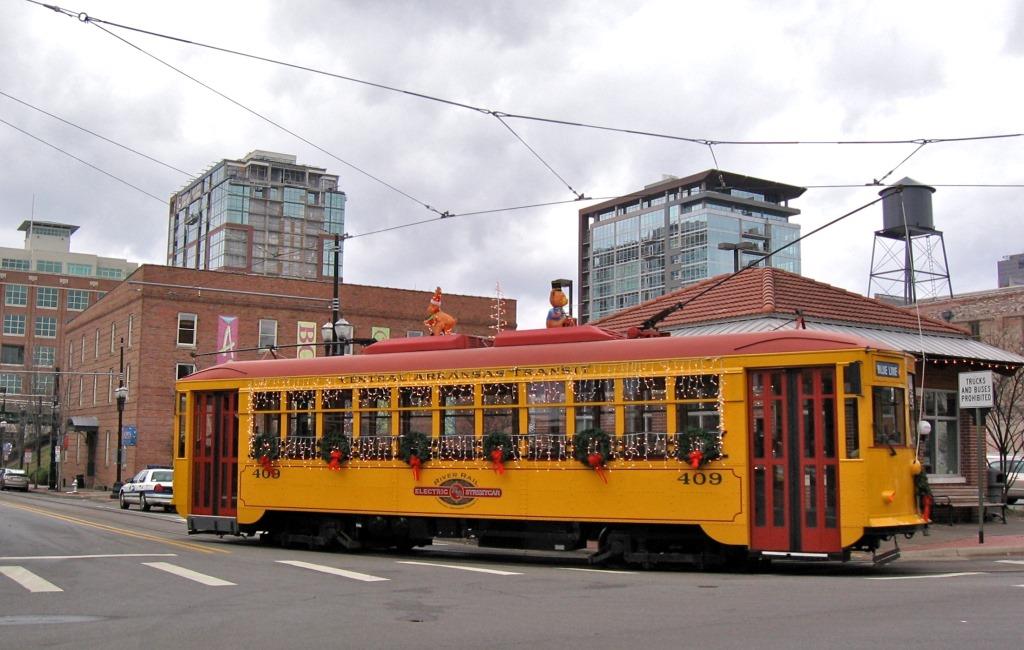
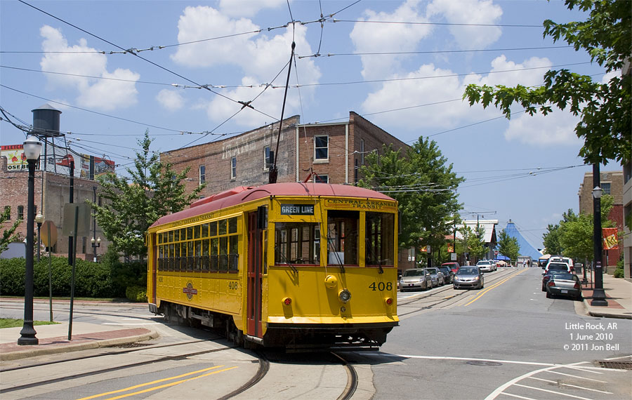
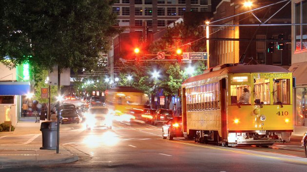
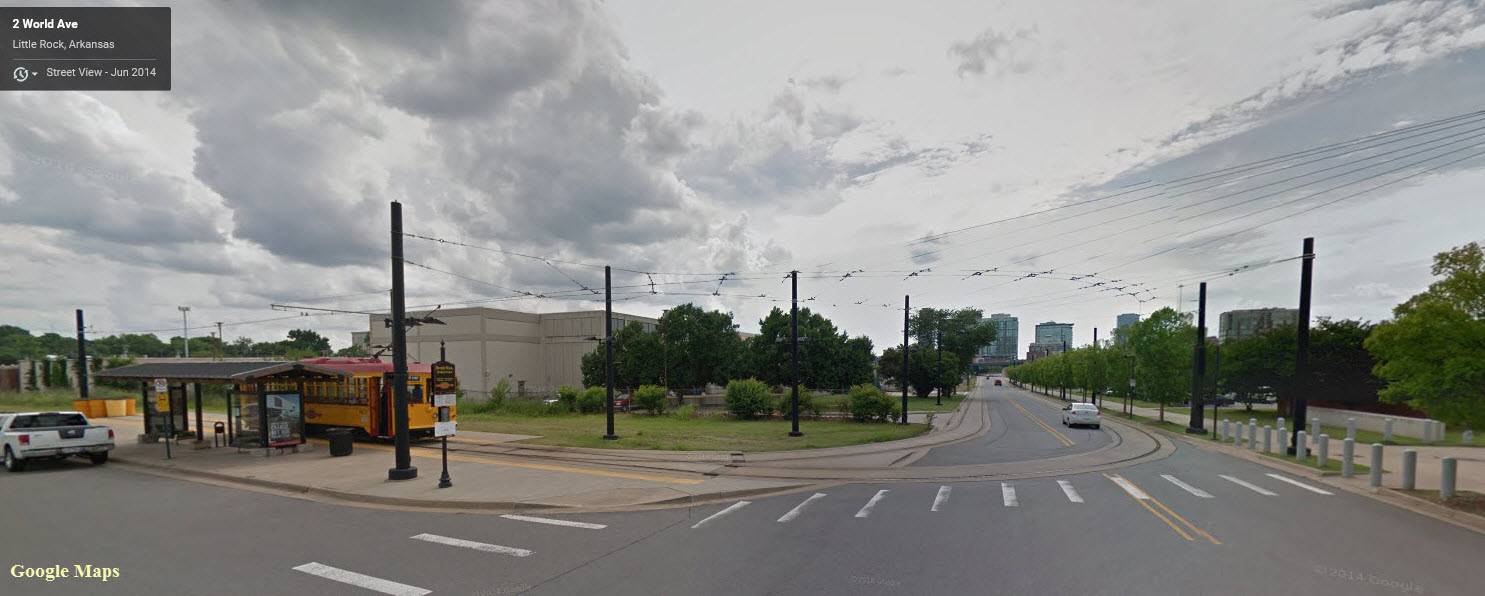
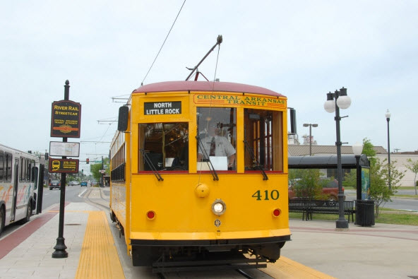
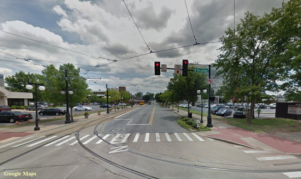
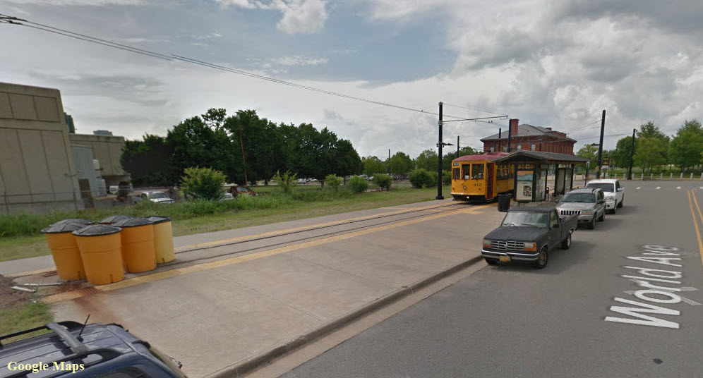
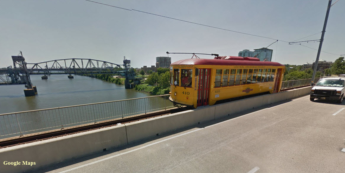
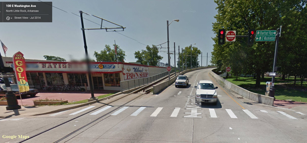
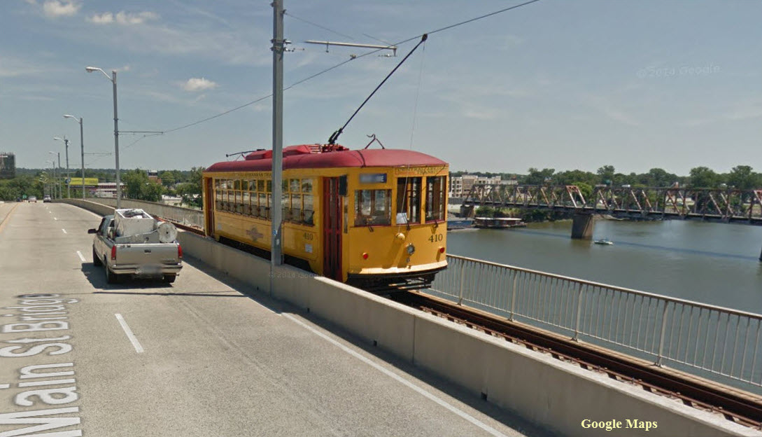
The Metro Streetcar (formerly known as the River Rail Streetcar) is a heritage streetcar system, running on a two and a half mile circuit, spanning the two cities of Little Rock and North Little Rock. All track is street running except for the Main Street Bridge, where it runs on the east side of the bridge on its own right-of-way. The name was changed in 2015, with the renaming of the Central Arkansas Transit Authority to Rock Region Metro.
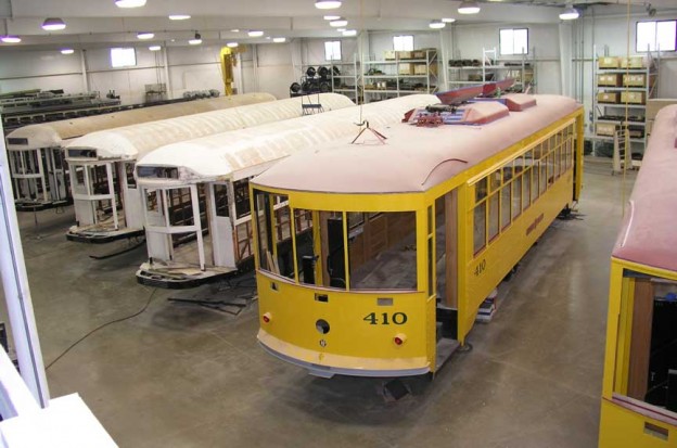
The system opened on November 1st, 2004. The system opened with two miles of track and three streetcars manufactured by Gomaco, at a cost of 750K apiece. An extension was opened to the Clinton Library on February 14th, 2007, which brought the length of the system up to 3.4 miles. The system cost $19.6 million to build, and its reported annual cost to operate is $450K. The Metro Streetcar is operated by Rock Region Metro.
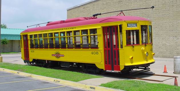
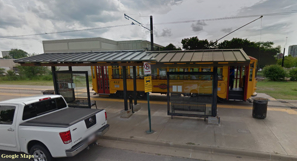
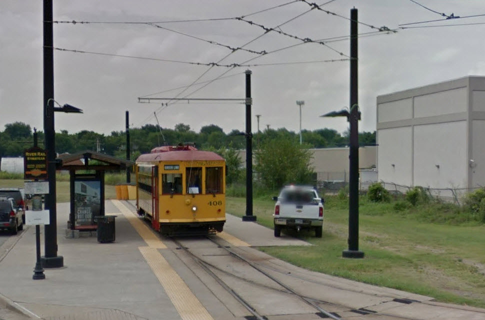
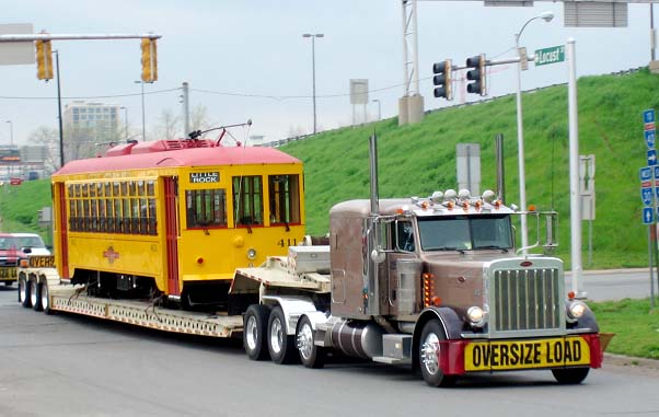
The cars: Metro Streetcar initially used three replica vintage electric trolleys. Two more streetcars were added as a part of the new Phase II extension. The design of these cars is generally similar to Birney-type streetcars used in Little Rock until after World War II. The original number series for those cars was 400–407. The present cars continue that number series, albeit 60 years later, with the current cars being numbered 408–412. All of the cars in the present fleet were manufactured by the Gomaco Trolley Company.
Operations (as of 2020): The Metro Streetcar begins operations at approximately 8:30am. Monday through Saturdays and at 10am. Sundays, while it ends at approximately 10pm. Monday through Wednesdays, midnight on Fridays and Saturdays and at 5:30pm on Sundays. It consists of two lines: the Blue Line and the Green Line. The Blue Line operates seven days a week, with extended service on Friday and Saturday nights and runs between Little Rock and North Little Rock, while the Green Line operates six days a week only with no Sunday service and runs in a circulator. Frequencies per line consist of 25-minute headways during the day, with 20-minute headways during evening and night-and-weekend service periods.
Acknowledgements:
Denver Todd
Wikipedia
Google Maps
Websites and other additional information sources of interest for the area:
http://en.wikipedia.org/wiki/River_Rail_Streetcar
http://www.littlerock.com/maps/streetcars/
http://www.rivermarket.info/play/detail/river-rail-electric-street-car-trolley2
http://www.heritagetrolley.org/planLittleRock.htm
http://www.arkansas.com/attractions/detail.aspx?id=90981
https://www.facebook.com/RRStreetcar
Exit 141a in northern Little Rock, and exit 141b in North Little Rock from I-35.
a PDF version of the above map is here
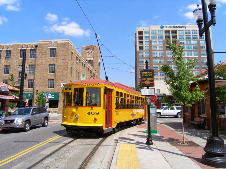
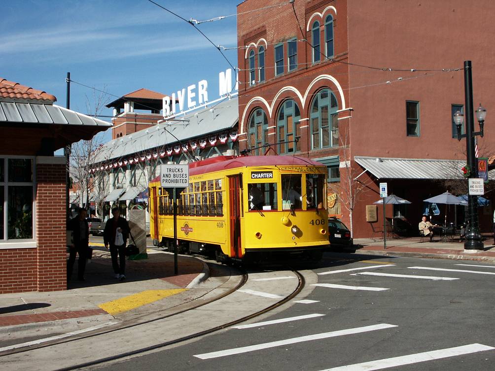
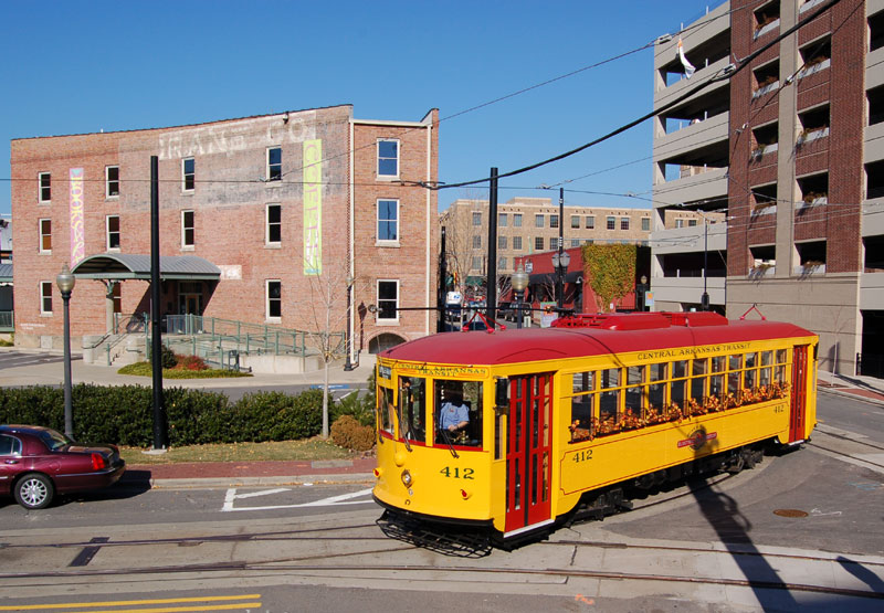
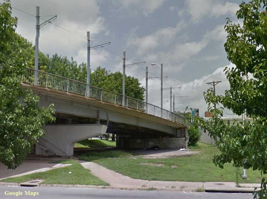
The Main Street Bridge
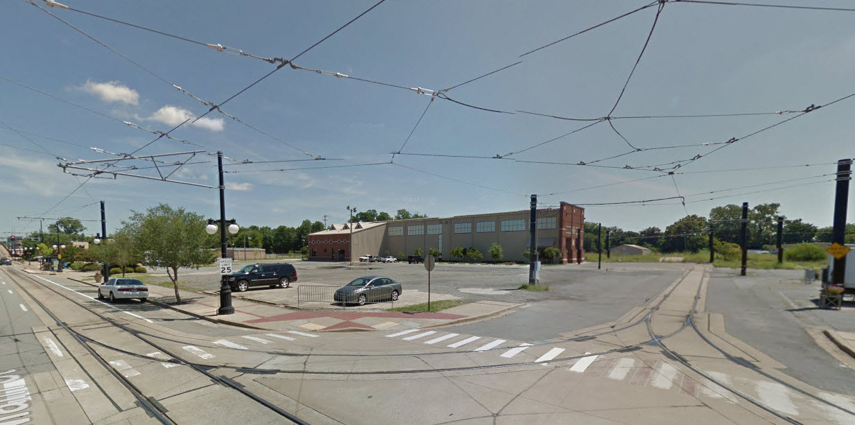
The Carbarn
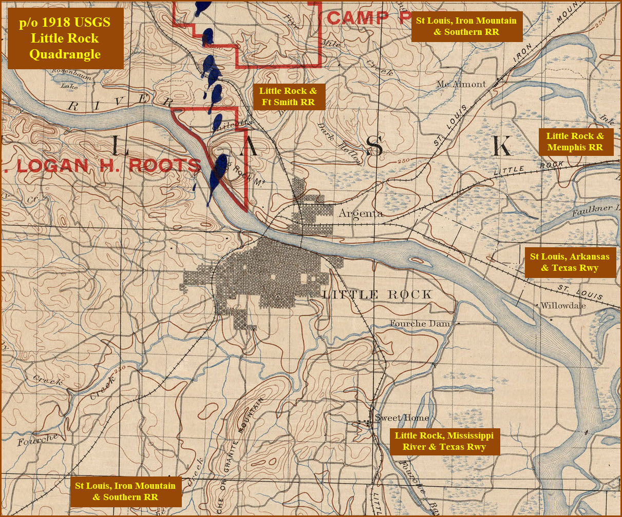
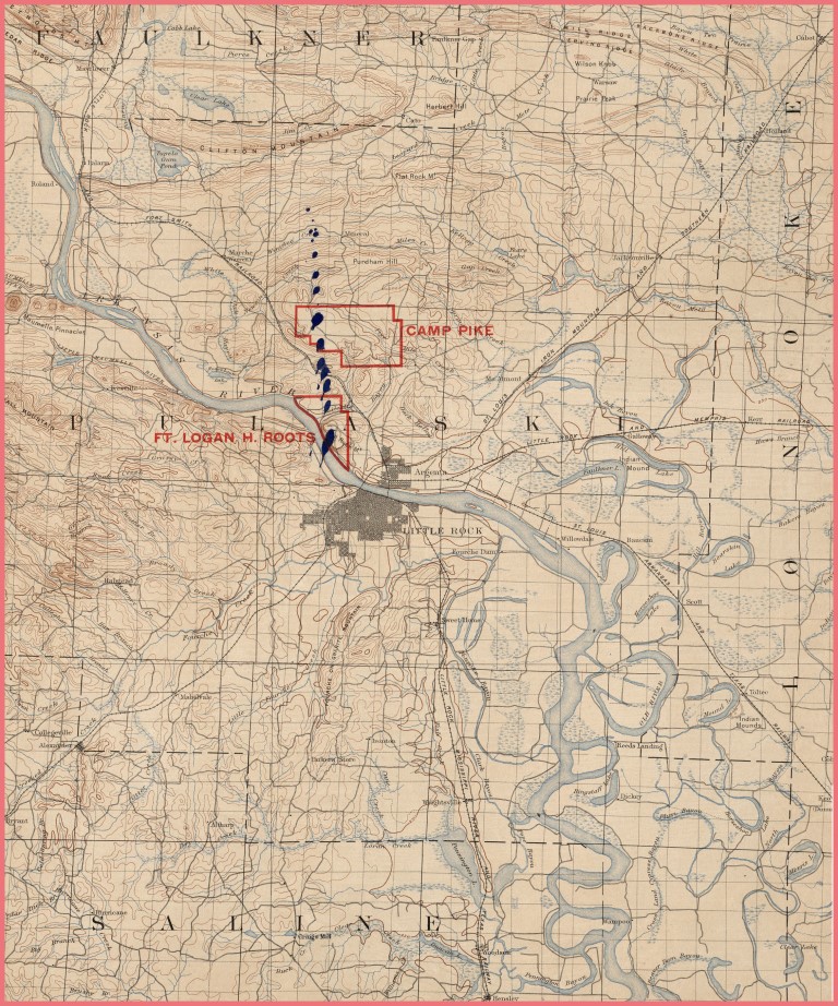
Courtesy of the University of Texas Library, click here for their index page. The second map is pretty much the whole quadrangle map of Little Rock from 1918.
Disclaimers:
I love trains, and I love signals. I am not an expert. My webpages reflect what I find on the topic of the page. This is something I have fun with while trying to help others.
Please Note: Since the main focus of my two websites is railroad signals, the railfan guides are oriented towards the signal fan being able to locate them. For those of you into the modeling aspect of our hobby, my indexa page has a list of almost everything railroad oriented I can think of to provide you with at least a few pictures to help you detail your pike.
If this is a railfan page, every effort has been made to make sure that the information contained on this map and in this railfan guide is correct. Once in a while, an error may creep in :-)
My philosophy: Pictures and maps are worth a thousand words, especially for railfanning. Text descriptions only get you so far, especially if you get lost or disoriented. Take along good maps.... a GPS is OK to get somewhere, but maps are still better if you get lost! I belong to AAA, which allows you to get local maps for free when you visit the local branches. ADC puts out a nice series of county maps for the Washington DC area, but their state maps do not have the railroads on them. If you can find em, I like the National Geographic map book of the U.S..... good, clear, and concise graphics, and they do a really good job of showing you where tourist type attractions are, although they too lack the railroads. Other notes about specific areas will show up on that page if known.
Aerial shots were taken from either Google or Bing Maps as noted. Screen captures are made with Snagit, a Techsmith product... a great tool if you have never used it!
By the way, floobydust is a term I picked up 30-40 years ago from a National Semiconductor data book, and means miscellaneous and/or other stuff.
Pictures and additional information is always needed if anyone feels inclined to take 'em, send 'em, and share 'em, or if you have something to add or correct.... credit is always given! Please be NICE!!! Contact info is here
Beware: If used as a source, ANYTHING from Wikipedia must be treated as being possibly inaccurate, wrong, or not true.
RAILFAN GUIDES HOME
RAILROAD SIGNALS HOME
NEW 05/10/2015, MAY18/2015, OCT19/2020
Last Modified 20-Oct-2020