Support Equipment
for the Baltimore Light Rail System
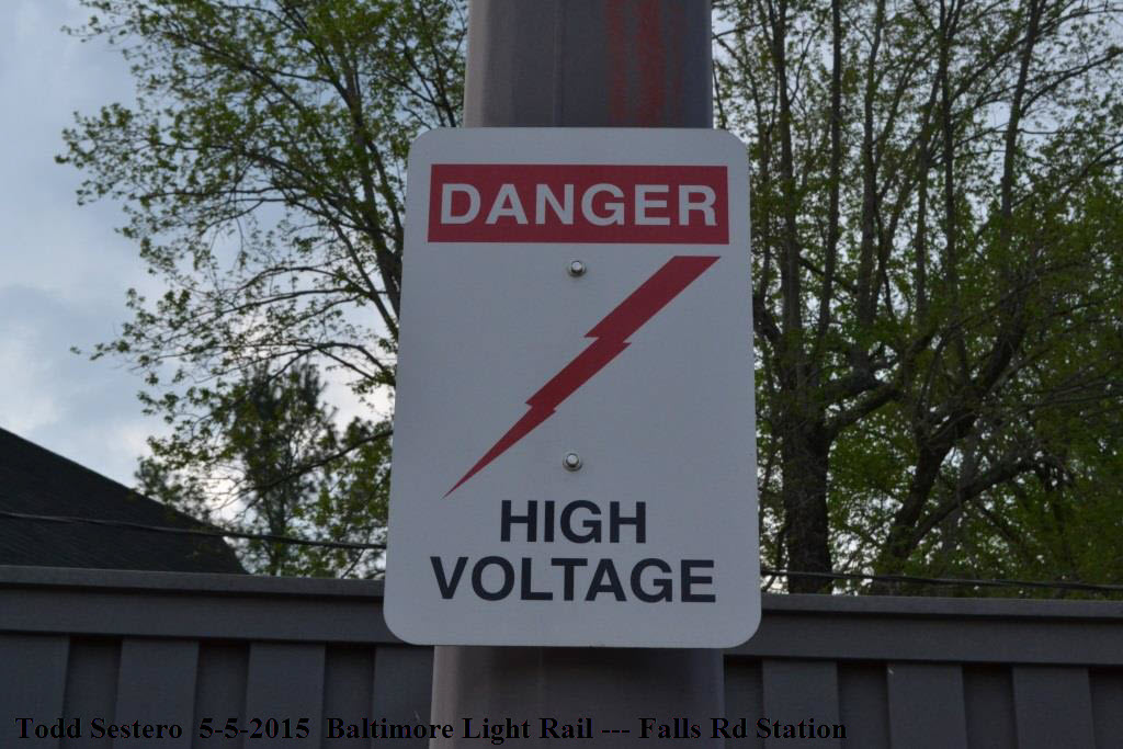
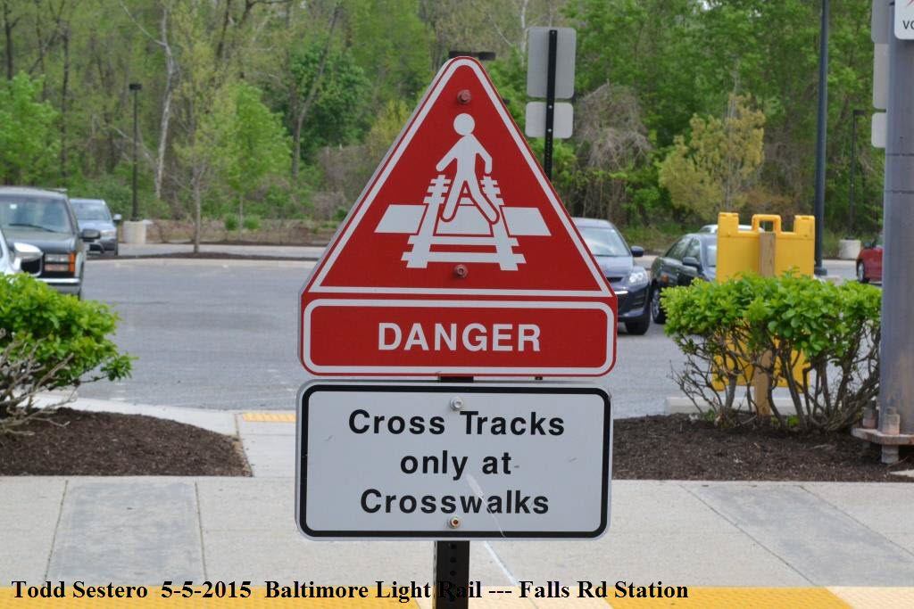
SIGNS
RAILFAN GUIDES HOME RAILROAD SIGNALS HOME This page covers the numerous signs the Baltimore
Light Rail system uses....
What would life be without signs to tell us what to do or where were are, I guess pretty boring.
Most of the signs on the Baltimore Light Rail System are pretty self explanatory.
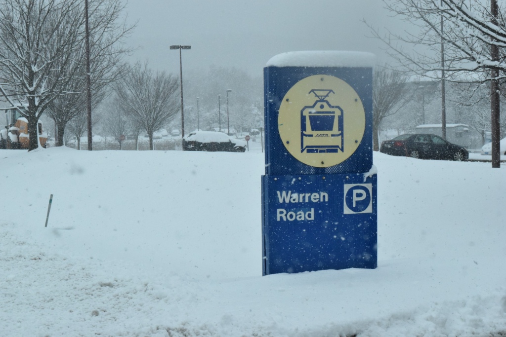
Station Signs
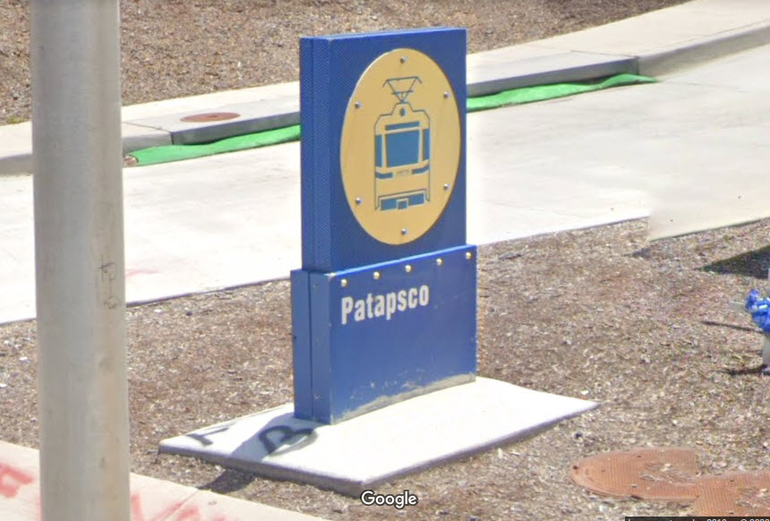
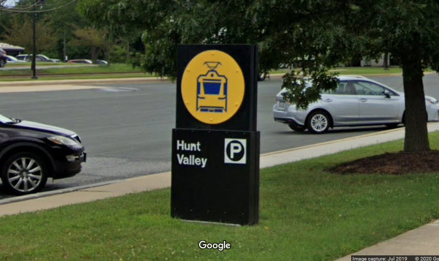
These signs are located along the road, out "in front" of the station, but not every
station has one. Sometime around 2018, they started updating the original
blue & yellow signs, painting them
black to cover over the blue that has been with us since the system opened in 1990
- they also did away with the contrasting colors.
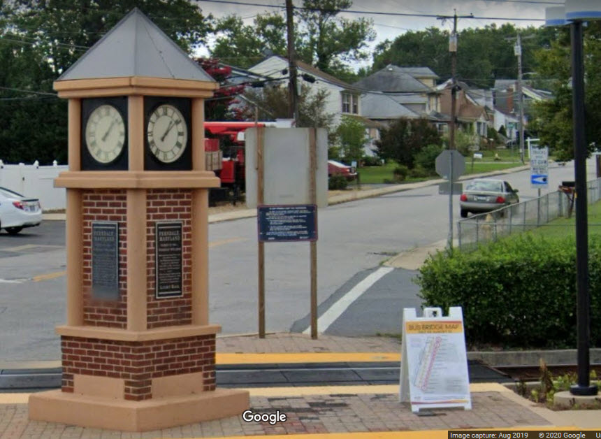
Around 1997, the station sign in Ferndale got knocked over late one night by
an impaired driver, and it was brought back to the shops. Several
years later, it was replaced by this, altho it is not a station sign in the
traditional sense. The old Ferndale sign is now sitting in someone's
back yard :-).....
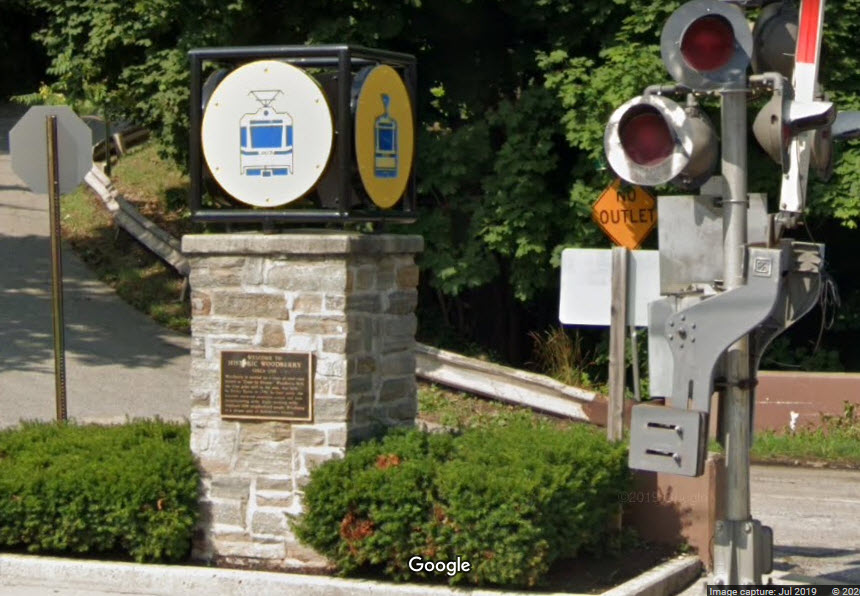
Another non-standard station sign at the Woodberry station.
When the mood strikes them, they are replacing the signs with a completely new design.
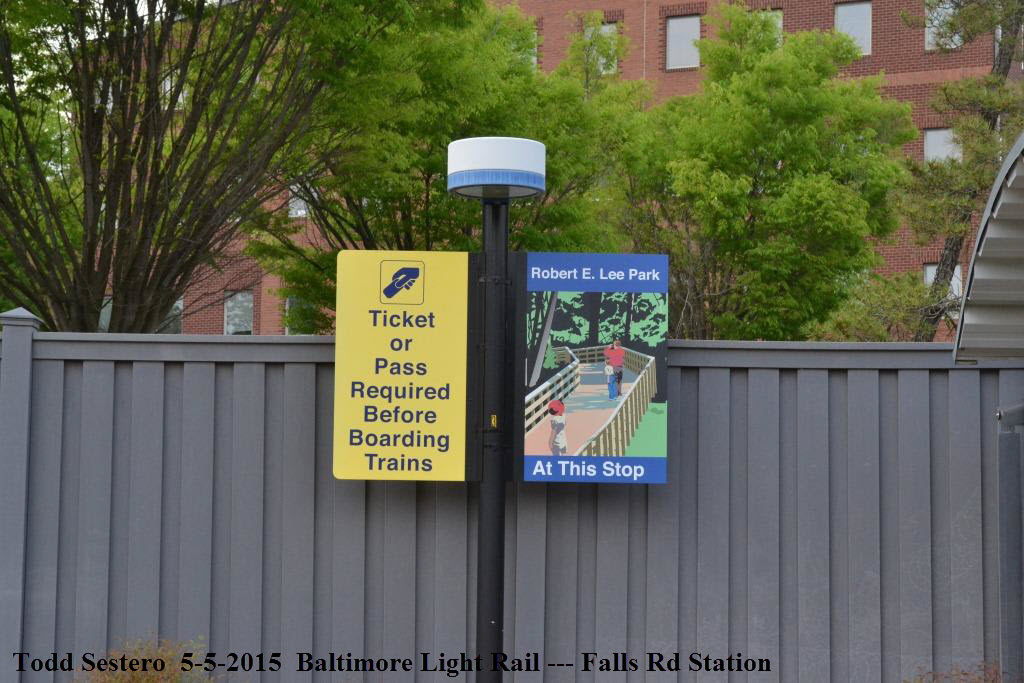
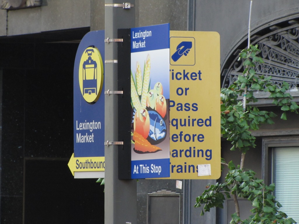
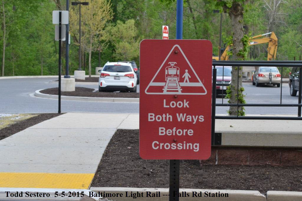
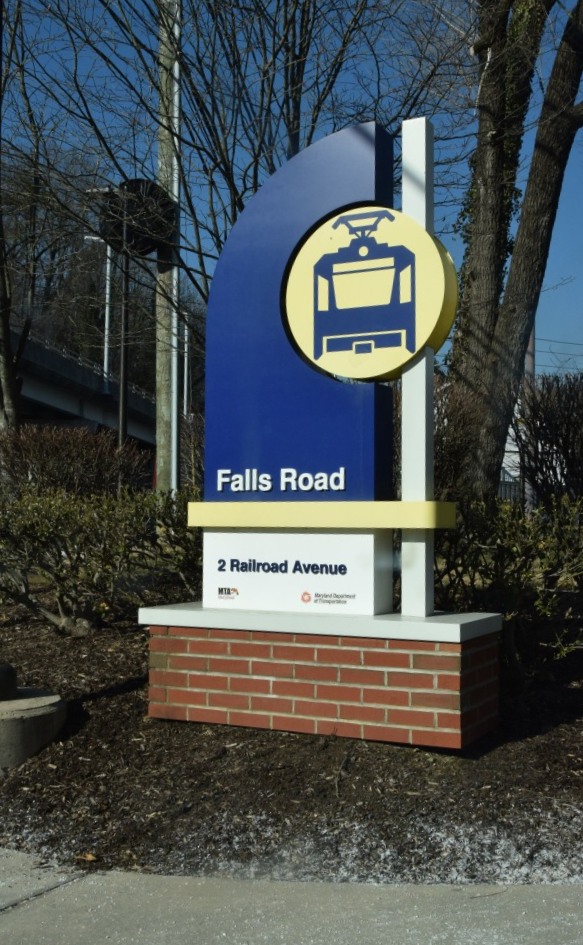
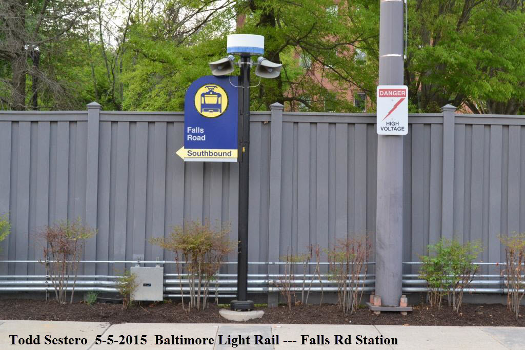
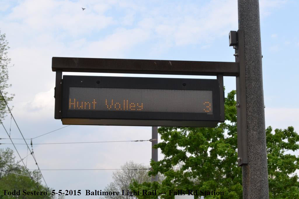
Along the station platforms, there are pole mounted signs to tell the riders which station
they are at. The Falls Road station was one of the first to receive
new signage back in 2015.
the old style sign
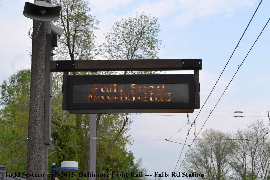
Information Signs
These signs are electronic information signs that are "live", and usually give
the station name and time until a train is approaching, and then they display
the Estimated Time of Arrival (ETA) of the next train. There are 3 or 4 on each platform.
The top picture shows the normal display, while the bottom picture shows the
ETA of the next train. The NB and SB signs display different messages.
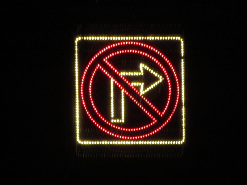
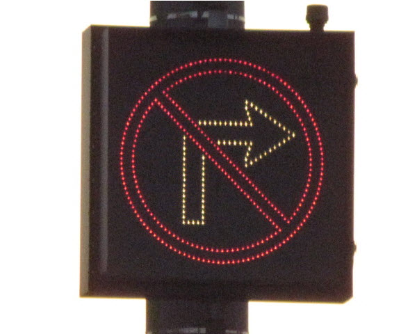
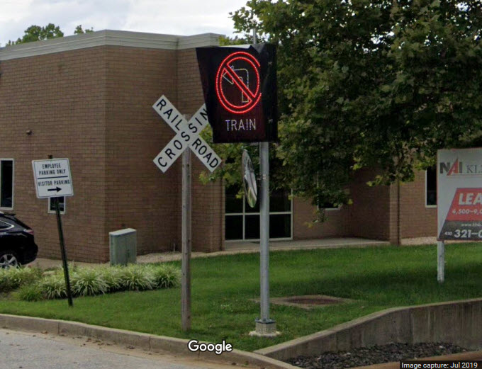
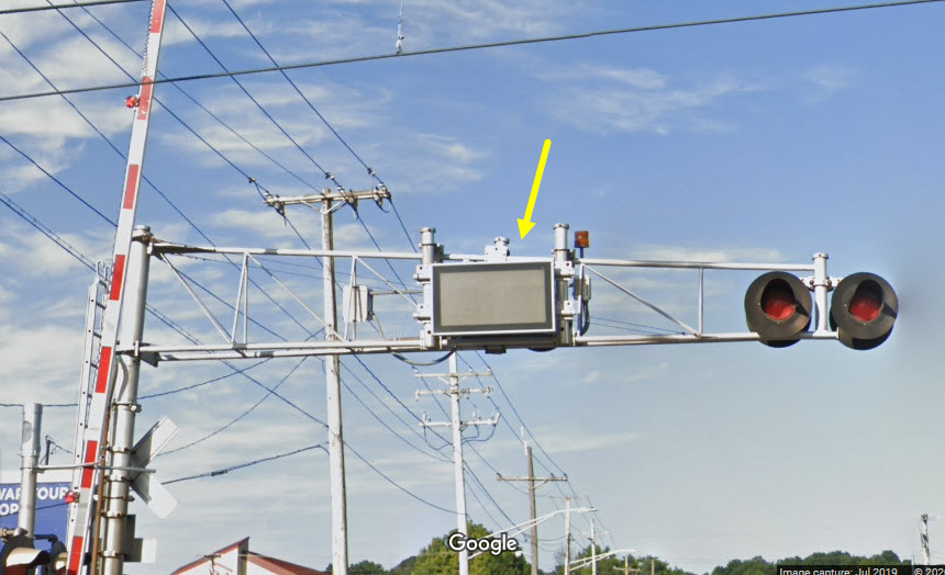
"No Turn" Signs
These illuminated signs are located at places where they don't want you to
make a turn because a train is approaching. They can be either for a
street or a driveway, and are used in conjunction with crossing gates and
flashing lights. I'm taking a guess, but it appears that these signals
may be lit using several bulbs using fiber optics to light up a particular
section, judging from the ones I have seen where they are missing parts of
the lit display. Not sure when these things started popping up.
The next two pictures are on Gilroy Rd in Cockeysville, one of the more
concentrated areas of this style sign.
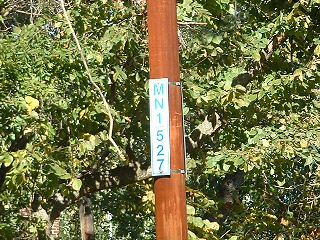
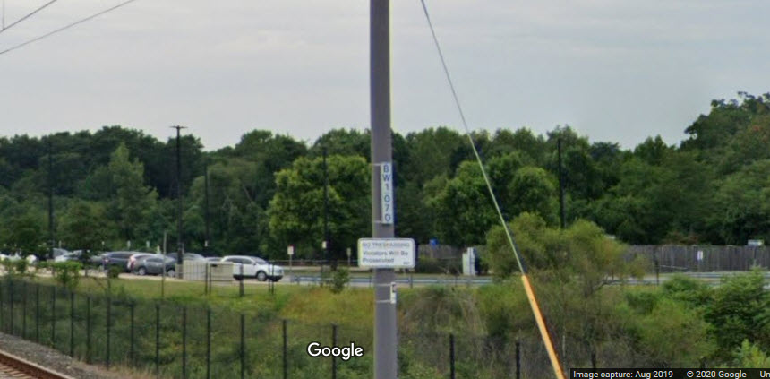
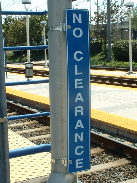
Chain Markers
Chain markers is the Light Rail way of saying "mileposts". Distances
on the main line are measured from Baltimore Street in thousands of feet, so, CM
527 seen below, would be 52,700 feet from Baltimore St, or about 10 miles.
The "N" is for north, and the "1" is for track one or two. They used
to say just CM 527, but were modified when the double tracking took place.
Distances on the branches are measured from the junctions.
"Second Train Coming" Sign
As far as I know, there is only the one installation of this sign, and it is
at the Timonium Road crossing. It was designed by Vern Hartsock when
he was a foreman in the systems section back in 1995 or 1996. I'm
surprised it is still operating after all these years! I need to sit
there one day and wait for the thing to activate, the graphics are pretty
cool!
Gee, we caught a day when the MTA 95's are on scene! :-)
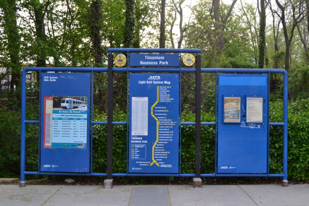
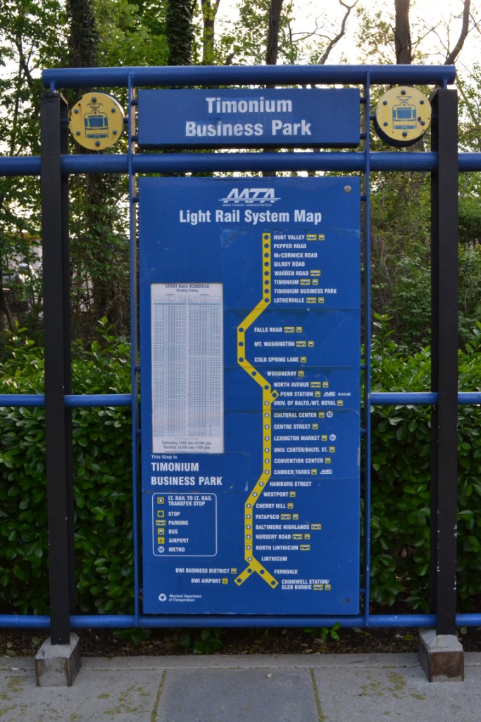
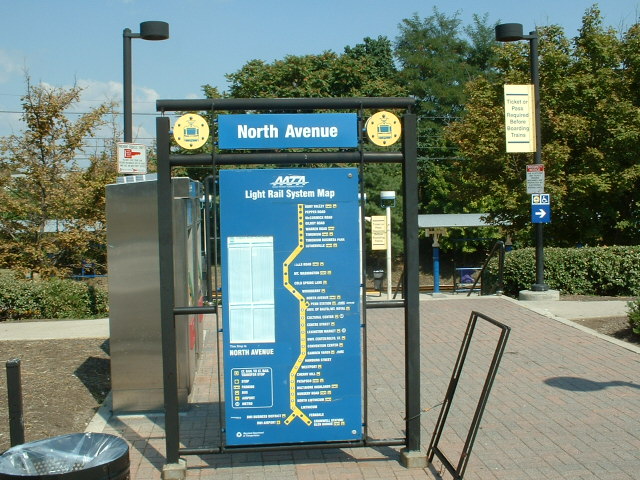
Maps and Area Information Signs
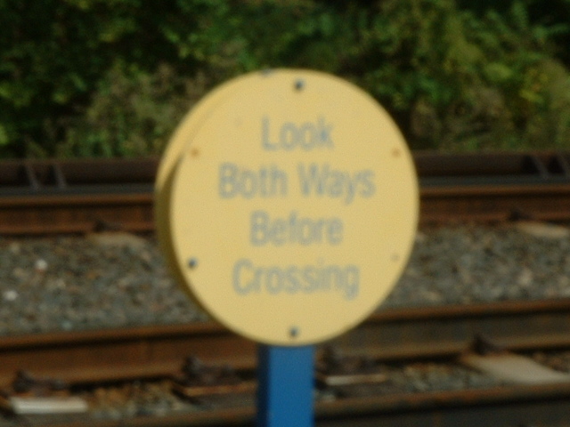
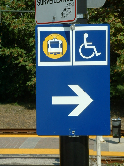
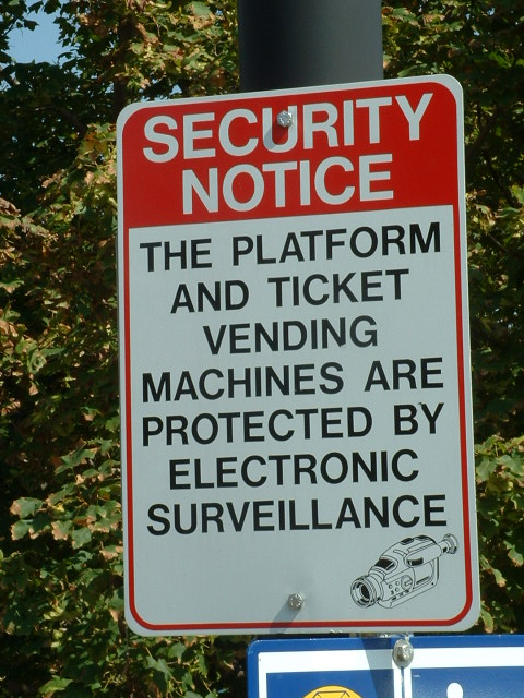
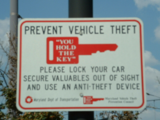
Assorted Miscellaneous Sign
on the way into the North Ave shops
Due to political correctness, the park is now called the Lake Roland Park.......
Disclaimers:
I love trains, and I love signals. I am not an expert. My webpages reflect what I find on the topic of the page. This is something I have fun with while
trying to help others.
Please Note: Since the main focus of my two websites is railroad signals, the railfan guides are oriented towards the signal fan being able to locate them.
For those of you into the modeling aspect of our hobby, my
indexa page has a list of almost everything railroad oriented
I can think of to provide you with at least a few pictures to help you detail your pike.
If this is a railfan page, every effort has been made to make sure that the information contained on this map and in this railfan guide is correct. Once in a while,
an error may creep in :-)
My philosophy: Pictures and maps are worth a thousand words, especially for railfanning. Text descriptions only get you so far, especially if you get lost or
disoriented. Take along good maps.... a GPS is OK to get somewhere, but maps are still better if you get lost! I belong to AAA, which allows you to get
local maps for free when you visit the local branches. ADC puts out a nice series of county maps for the Washington DC area, but their state maps do not have the
railroads on them. If you can find em, I like the National Geographic map book of the U.S..... good, clear, and concise graphics, and they do a really good job
of showing you where tourist type attractions are, although they too lack the railroads. Other notes about specific areas will show up on that page if known.
Aerial shots were taken from either Google or Bing Maps as noted. Screen captures are made
with Snagit, a Techsmith product... a great tool if you have never used it!
By the way, floobydust is a term I picked up 30-40 years ago from a National Semiconductor data book, and means miscellaneous
and/or other stuff.
Pictures and additional information is always needed if anyone feels inclined to take 'em, send 'em, and share 'em, or if you have something to add or correct.... credit
is always given! Please be NICE!!! Contact info is here
Beware: If used as a source, ANYTHING from Wikipedia must be treated as being possibly inaccurate, wrong, or not true.
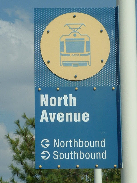 the old style sign
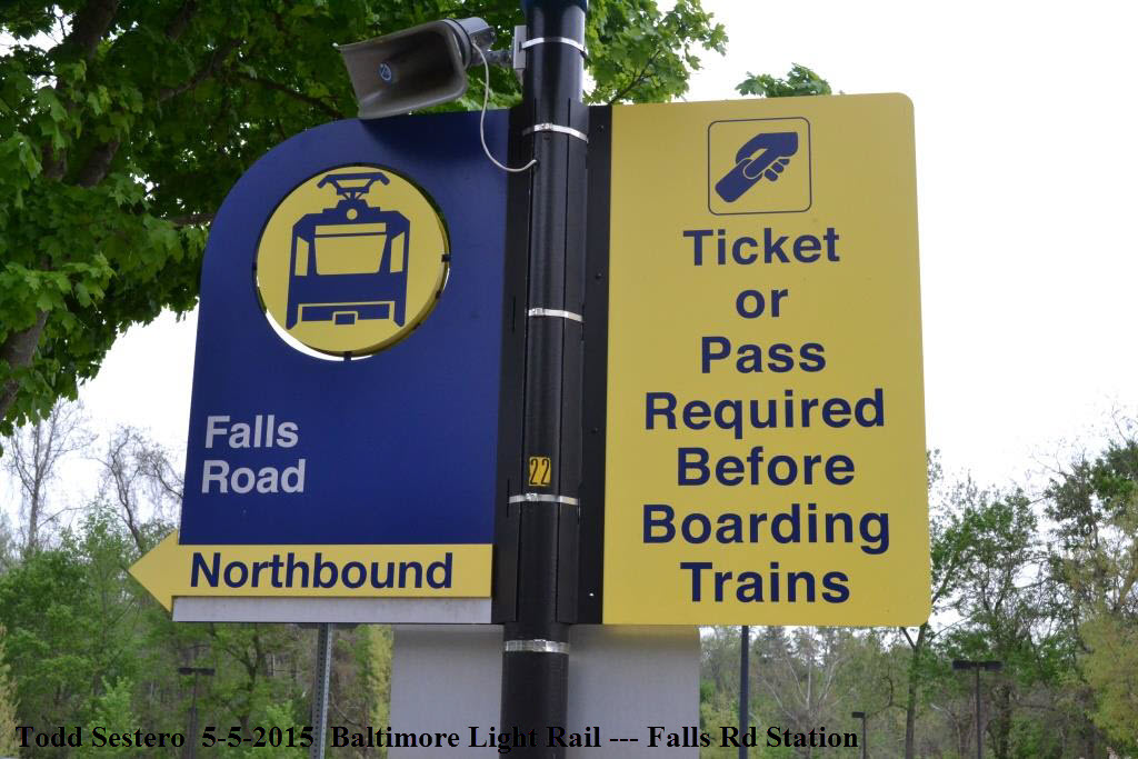


 on the way into the North Ave shops