RAILFAN GUIDES HOME RAILROAD SIGNALS HOME
This page will cover the stations of the Baltimore Light Rail System
starting with Westport, and
heading south to the end of the line at Cromwell. It
will also cover the grade crossings and anything else of importance.
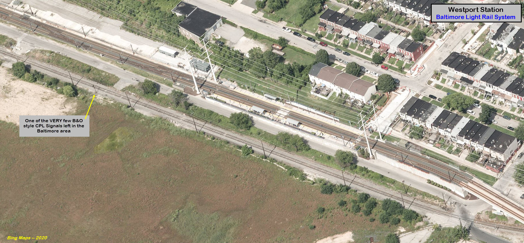
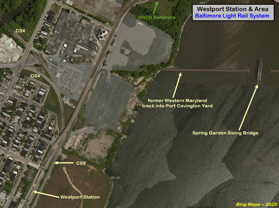
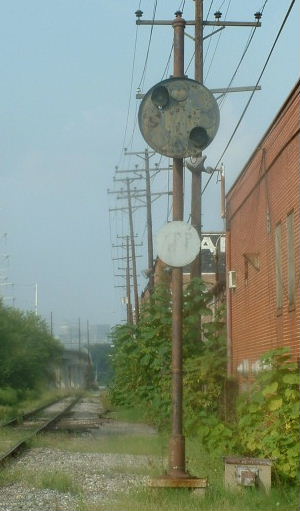
Westport Station
GPS Coordinates: 39.261832, -76.632145
Here is
the signal from the days when there used to be a factory in the (now) open field next to the station.
Cherry Hill Station
GPS Coordinates: 39.256008, -76.634937
Cherry Hill is one of the few "suburban" stations that does not have parking.
In addition, the ramp leading to/from the station and Cherry Hill Rd goes under the CSX line to Curtis Bay.
It would be a nice place for train pictures, if you can wait for one, but DO NOT
railfan here alone!!!
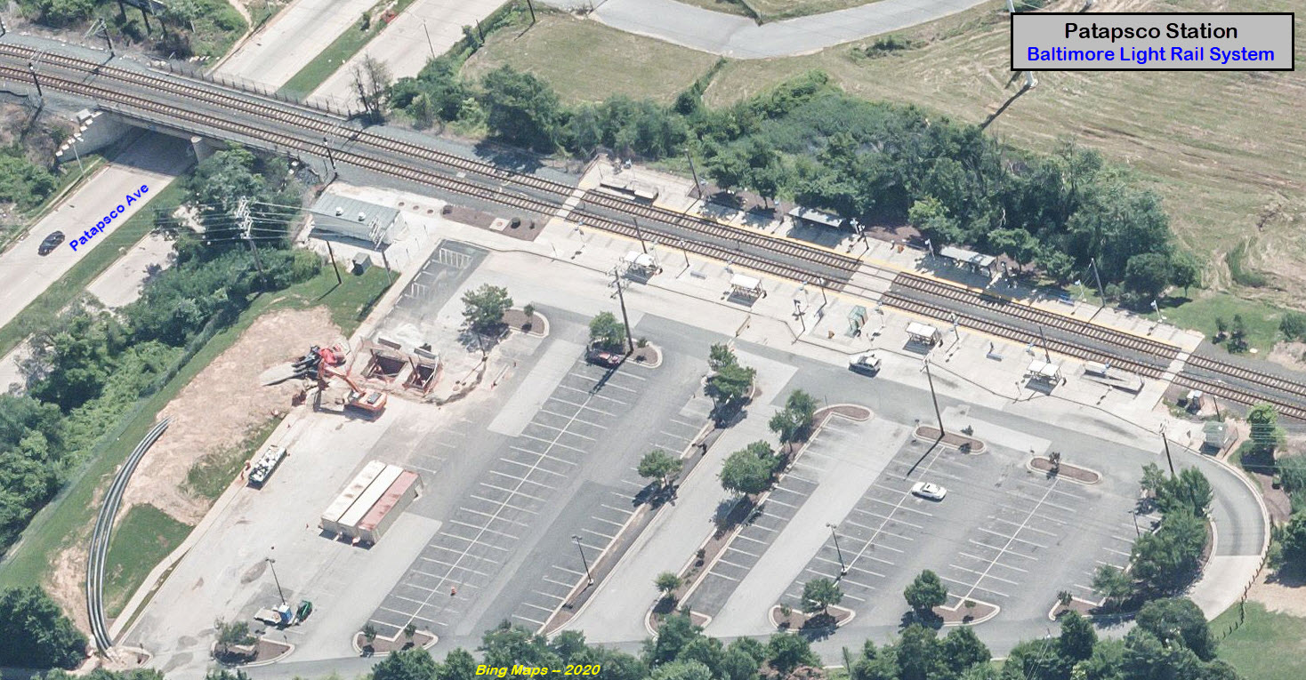
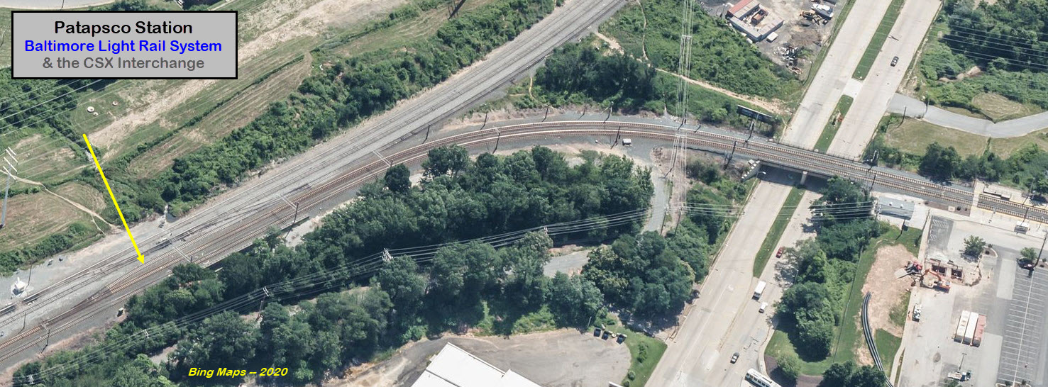
Just south of here, the line goes under the main Curtis Bay Branch, then does a
90 degree turn to head into Patapsco, after passing an interchange with CSX.
Patapsco Station
GPS Coordinates: 39.241987, -76.629995
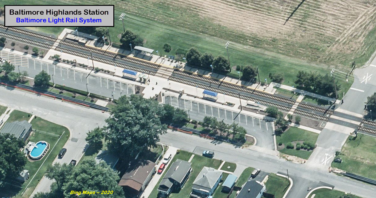
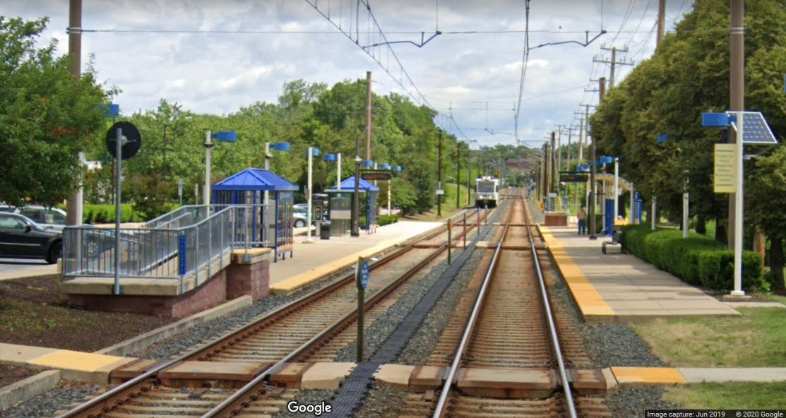
Baltimore Highlands Station
GPS Coordinates: 39.235097, -76.632912
This station has a very small parking lot.
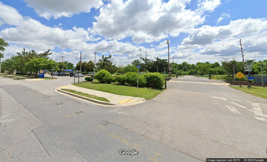
Klunk Drive
Adjacent to the Baltimore Highland station.
Hoffman Ave
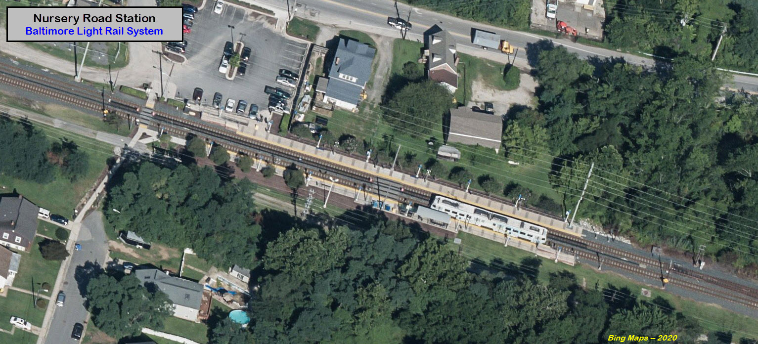
Nursery Road Station
GPS Coordinates: 39.221500, -76.641446
Another station with a small parking lot, the entrance is off of B&A Blvd.
Over B&A Blvd
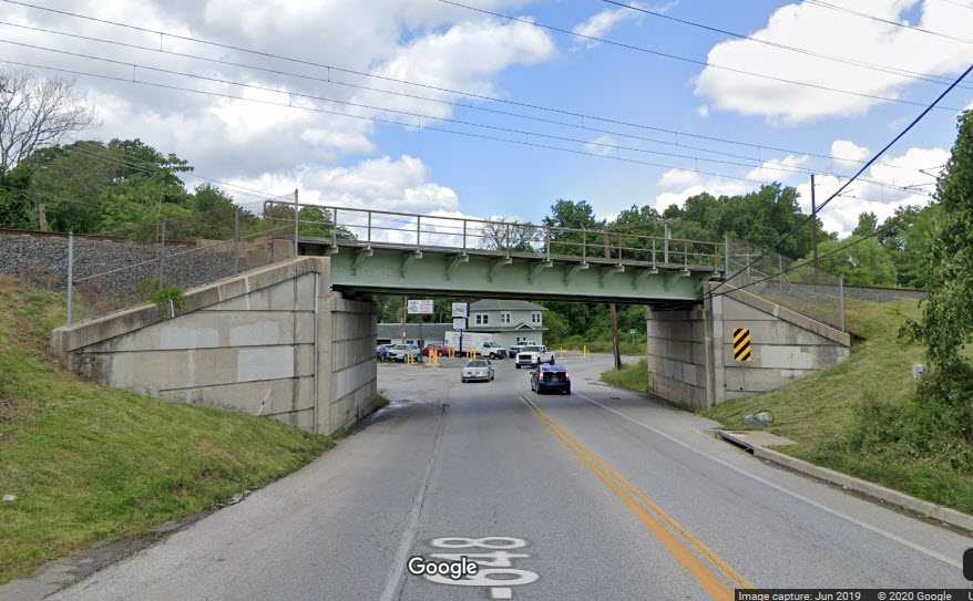
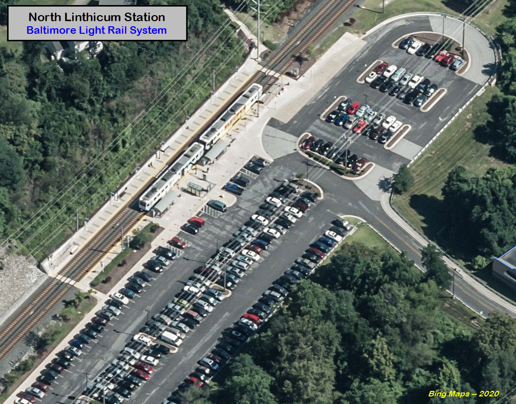
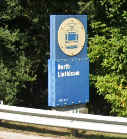
North Linthicum Station
GPS Coordinates: 39.214368, -76.646091
Entrance off Camp Meade Road (MD 170) near the intersection with B&A Blvd.
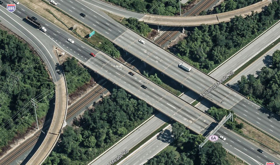
Under the Beltway
Not much in the way of exciting photo ops here, and it's a good thing,
because it is really hard to get in here.
Twin Oaks Road
Maple Road
GPS Coordinates: 39.205328, -76.653436
Good location for pictures.
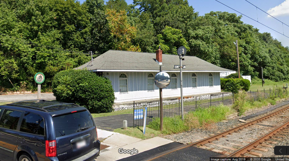
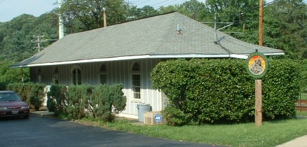
The former B&A Headquarters is here in a historic depot.
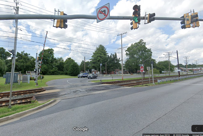
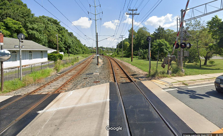
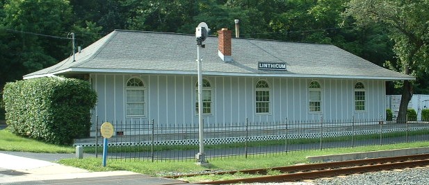
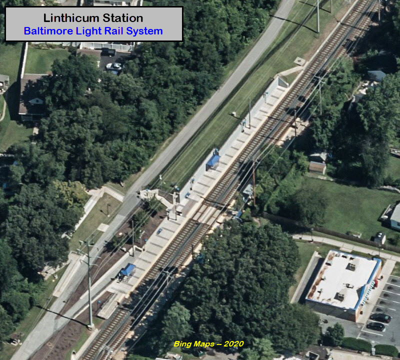
Linthicum Station
GPS Coordinates: 39.202338, -76.655355
Another station with no parking. Access from either Camp Meade
Road or Oakdale Road in the community. The Linthicum Volunteer Fire
Company is across from the walkway to the station from the Camp Meade Road side.
There are a number of nearby eateries - Carmelo's is popular with folks from
Northrop-Grumman.
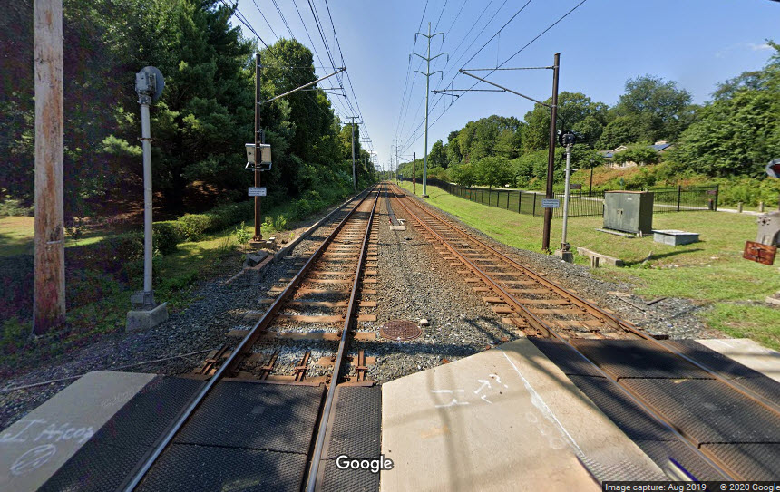
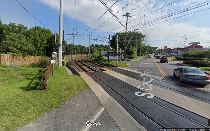
Camp Meade Road
GPS Coordinates: 39.199726, -76.655873
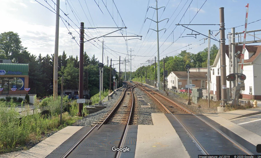
Good spot for pictures, you can catch trains coming off the BWI Branch with
a good telephoto lens, or walk closer by the crossovers. Easy parking.
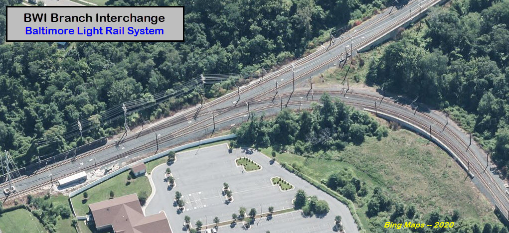
BWI Branch Interchange
Glendale Avenue
Linden Avenue
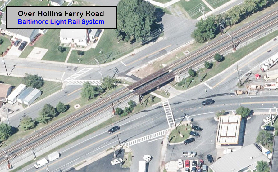
over Hollins Ferry Road
GPS Coordinates: 39.186712, -76.642480
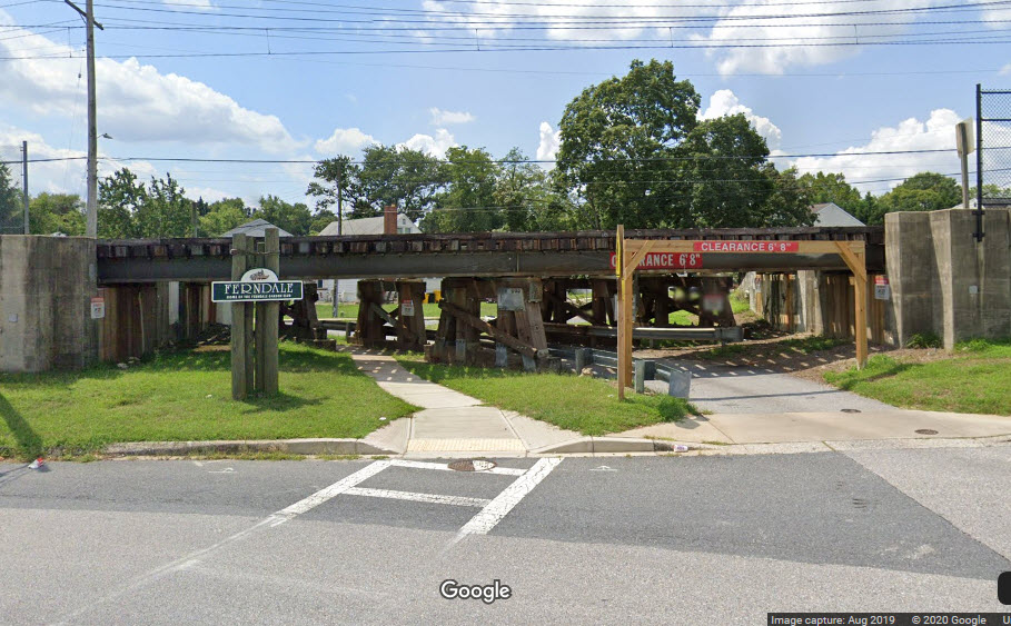
One of the few historic/vintage pieces left over from the railroad days... this used
to carry B&A trains before light rail opened up.
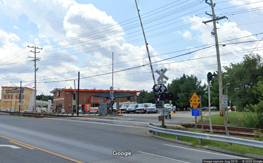
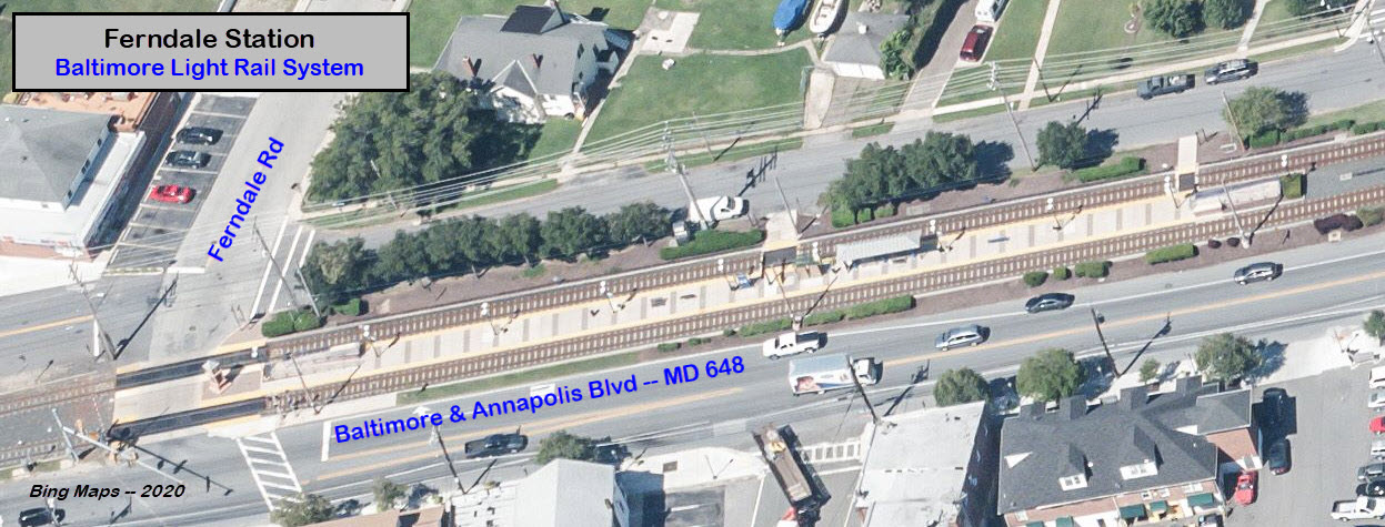
Ferndale Station
GPS Coordinates: 39.183581, -76.640137
Ferndale Road crosses the tracks at the south end of the platform.
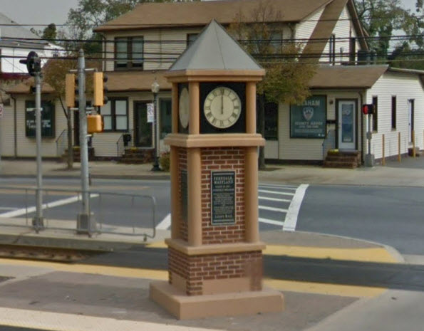
Someone ran over the station sign back in 1996, I saved it from going into the trash can. It got replaced by this custom design.
A standard station sign, some have been replaced over the past 30 years.
Broadview Blvd
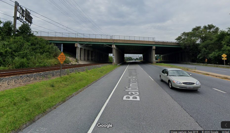
At U-Haul Entrance
under I-97
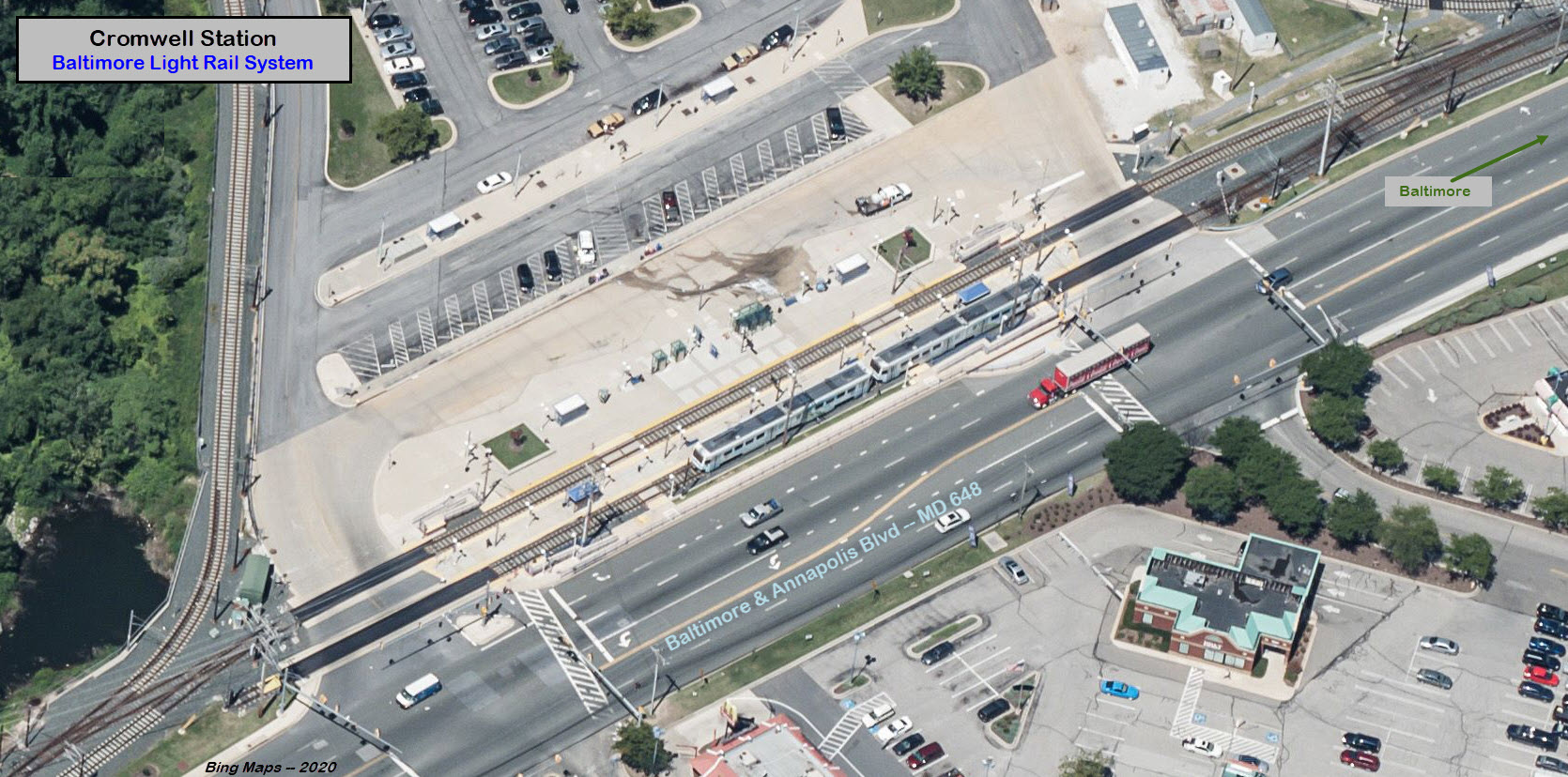
Cromwell Station
GPS Coordinates: 39.171990, -76.632970
Current south end of the mainline.
There are a number of places to eat across the street in the shopping center.
When the B&A (Baltimore & Annapolis RR) used to run thru here, it continued on
across Dorsey Rd / MD 176 and headed south to Annapolis. which it did until 1968.
The
Cromwell Shops are located here.
Current end of the line/2020. Could it get extended????
Disclaimers:
I love trains, and I love signals. I am not an expert. My webpages reflect what I find on the topic of the page. This is something I have fun with while
trying to help others.
Please Note: Since the main focus of my two websites is railroad signals, the railfan guides are oriented towards the signal fan being able to locate them.
For those of you into the modeling aspect of our hobby, my indexa page has a list of almost everything railroad oriented
I can think of to provide you with at least a few pictures to help you detail your pike.
If this is a railfan page, every effort has been made to make sure that the information contained on this map and in this railfan guide is correct. Once in a while,
an error may creep in :-)
My philosophy: Pictures and maps are worth a thousand words, especially for railfanning. Text descriptions only get you so far, especially if you get lost or
disoriented. Take along good maps.... a GPS is OK to get somewhere, but maps are still better if you get lost! I belong to AAA, which allows you to get
local maps for free when you visit the local branches. ADC puts out a nice series of county maps for the Washington DC area, but their state maps do not have the
railroads on them. If you can find em, I like the National Geographic map book of the U.S..... good, clear, and concise graphics, and they do a really good job
of showing you where tourist type attractions are, although they too lack the railroads. Other notes about specific areas will show up on that page if known.
Aerial shots were taken from either Google or Bing Maps as noted. Screen captures are made
with Snagit, a Techsmith product... a great tool if you have never used it!
By the way, floobydust is a term I picked up 30-40 years ago from a National Semiconductor data book, and means miscellaneous
and/or other stuff.
Pictures and additional information is always needed if anyone feels inclined to take 'em, send 'em, and share 'em, or if you have something to add or correct.... credit
is always given! Please be NICE!!! Contact info is here
Beware: If used as a source, ANYTHING from Wikipedia must be treated as being possibly being inaccurate, wrong, or not true.
 Here is
the signal from the days when there used to be a factory in the (now) open field next to the station.
Here is
the signal from the days when there used to be a factory in the (now) open field next to the station.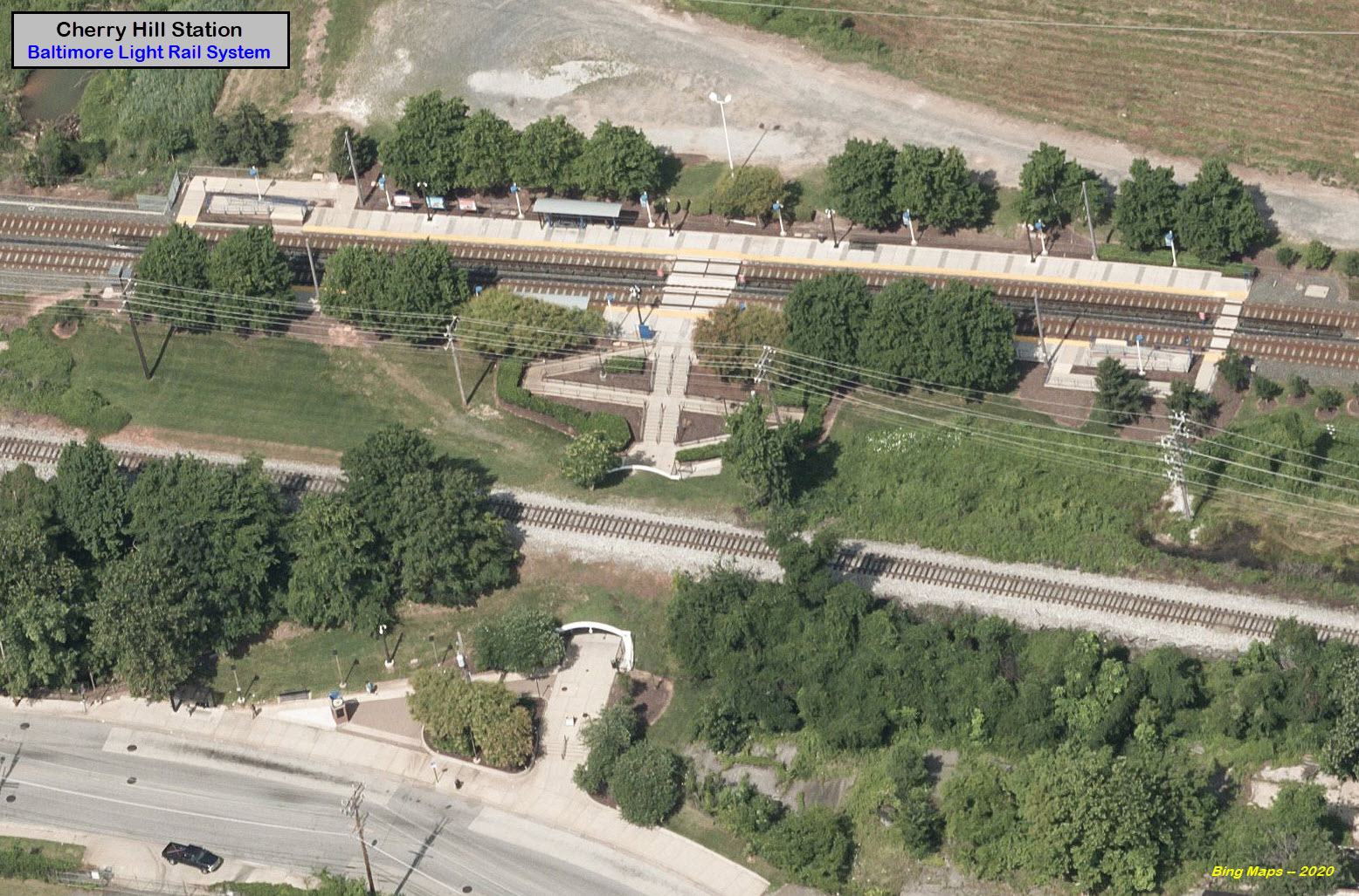
 A standard station sign, some have been replaced over the past 30 years.