RAILFAN GUIDES HOME RAILROAD SIGNALS HOME
This page will cover the stations of the Baltimore Light Rail System
starting just south of the Lutherville station at Seminary Avenue where the
former Pennsy Lutherville depot is located, and heading south to North Avenue. I
will also cover the grade crossings and anything else of importance.
This section of the light rail system is a big change from the grade-crossing
rich area going through Timonium and Cockeysville/Hunt Valley. Between
Lutherville and North Avenue, there are only two grade-crossings, at Seminary
Ave in Lutherville, and Union Ave in Woodberry. I guess this is related to
the fact that the R-O-W follows the Jones Falls from Lake Roland on down, and
there is no place to put a road on that side of the tracks. In fact,
we don't hit a grade-crossing again until we cross Mt Royal Ave.
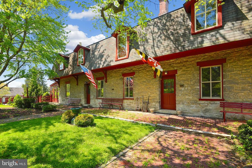
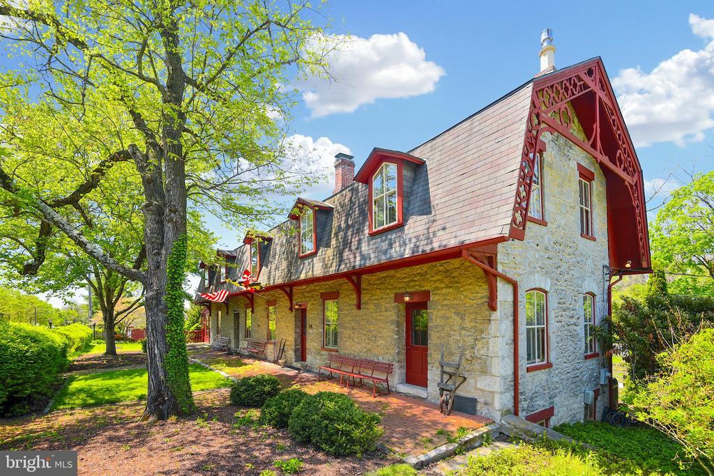
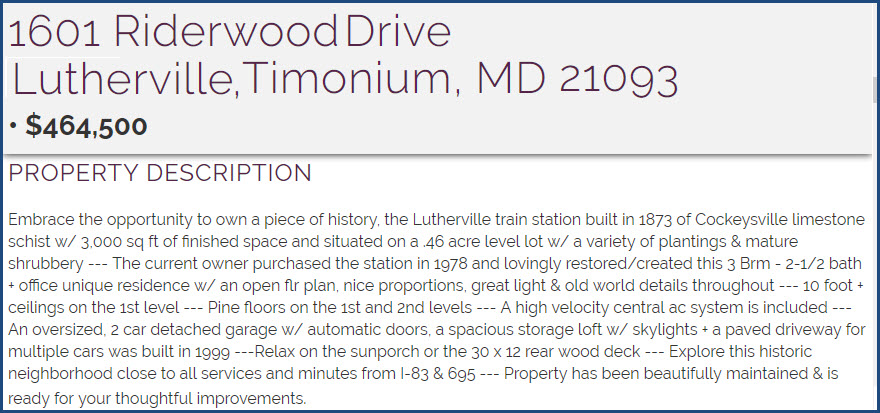
The Former PRR Lutherville Station
GPS Coordinates: 39.424087, -76.629415
As of June 2020, the station was for sale.....
Seminary Avenue
"We" are very lucky, in that very few have died as a result of trying to beat
the train at a grade crossing on the Baltimore System, but here, around 2000 or
so, someone in a Jeep tried to go around the gates and got hit. RIP.
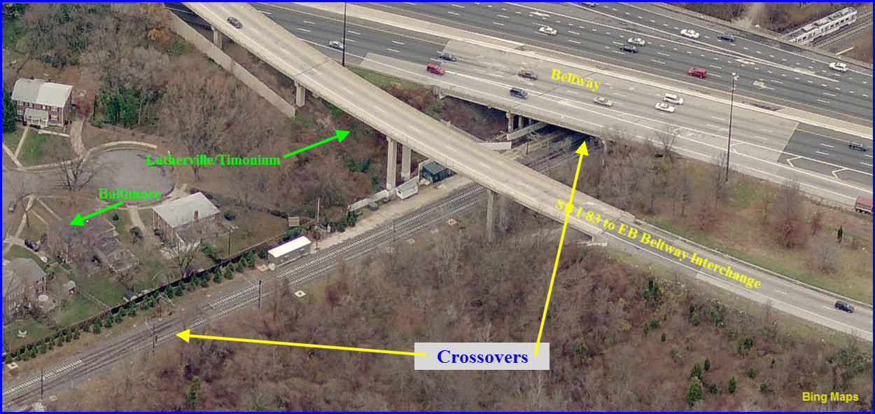
Nice sight lines in both directions, and to the south, we can see the trains
coming at us going under the Beltway (if you have a good telephoto lens).
under the Beltway and the Crossovers
In the shot below, you can see how the MTA put in an additional sound barrier by
moving the tracks over by about 15 feet. I'm not sure how much doing so
really reduces the sound level to go to all that trouble of putting a "crick" in
the tracks.... and then if you look further down the tracks in that straight
stretch where my house is, and they had room to move the tracks to the other
side to get them further way from our houses, they didn't, so again, what was
the point?
April 18th, 2005, as work on the double tracking continues.....
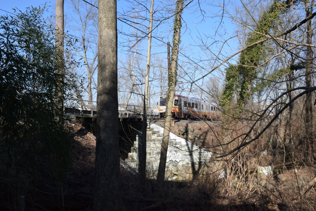
The Former PRR Riderwood Station
GPS Coordinates:
at CM N525
The tracks here cross a stream that is one of two main feeds for Lake Roland,
the bridge it goes over dates to the 1800's. It is a steel girder bridge,
and has always had two spans on it, even tho for the first half of the systems
life, until 2005 when they double tracked the north end, light rail was only a
single track until it hit an interlocking at the Beltway and became two tracks.
Just south of here, back in the Pennsy days up until the late 50's or early
60's, the Pennsy had three tracks going thru Ruxton.
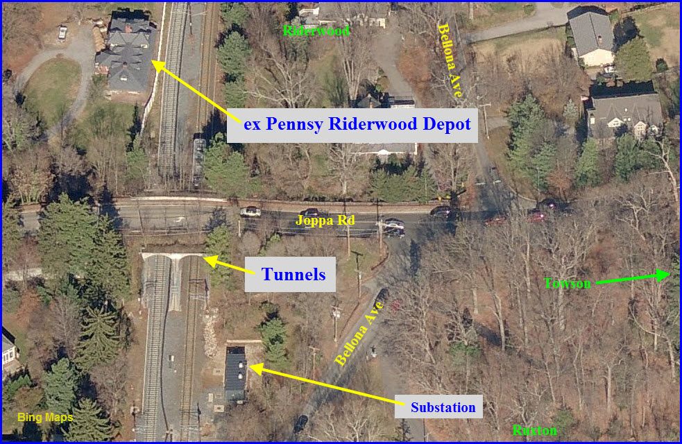
the Joppa Road "Tunnels"
GPS Coordinates: 39., -76.
along Bellona Avenue
A "Ruxton" station would have been put in somewhere along here, and during the
planning process, the area residents complained loudly enough that the MTA
listened.... so now you can enjoy a 4 mile ride thru some of the nicer sections
of the line! Crime was the main reason cited for not wanting a station
here, and seeing what happened in Lutherville when the line opened there, no-one
can blame them.
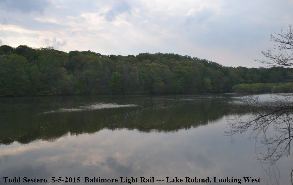
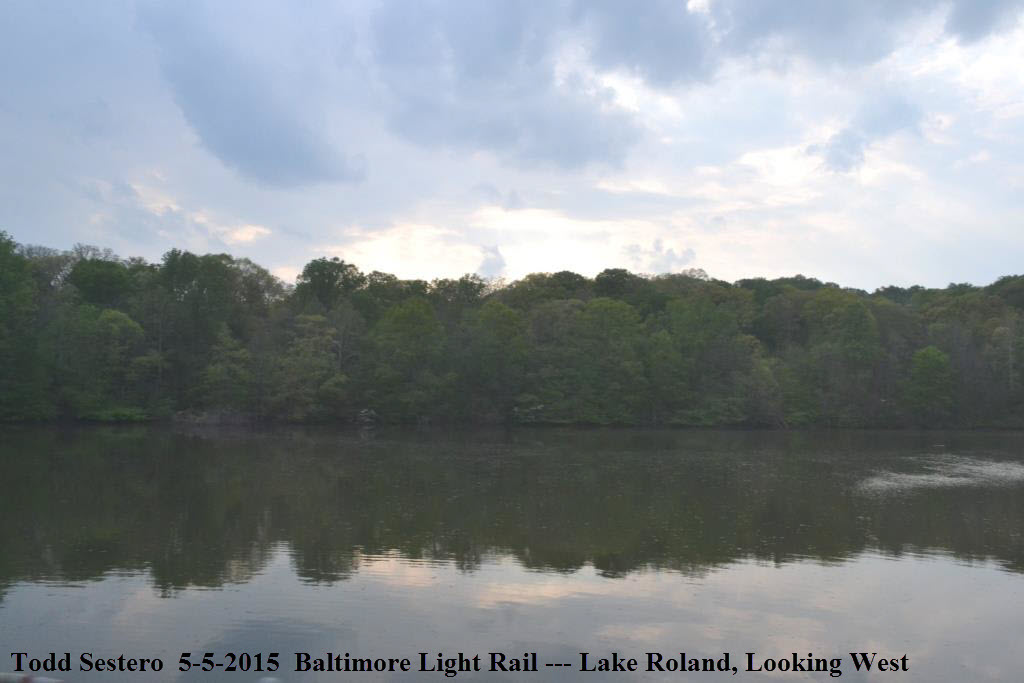
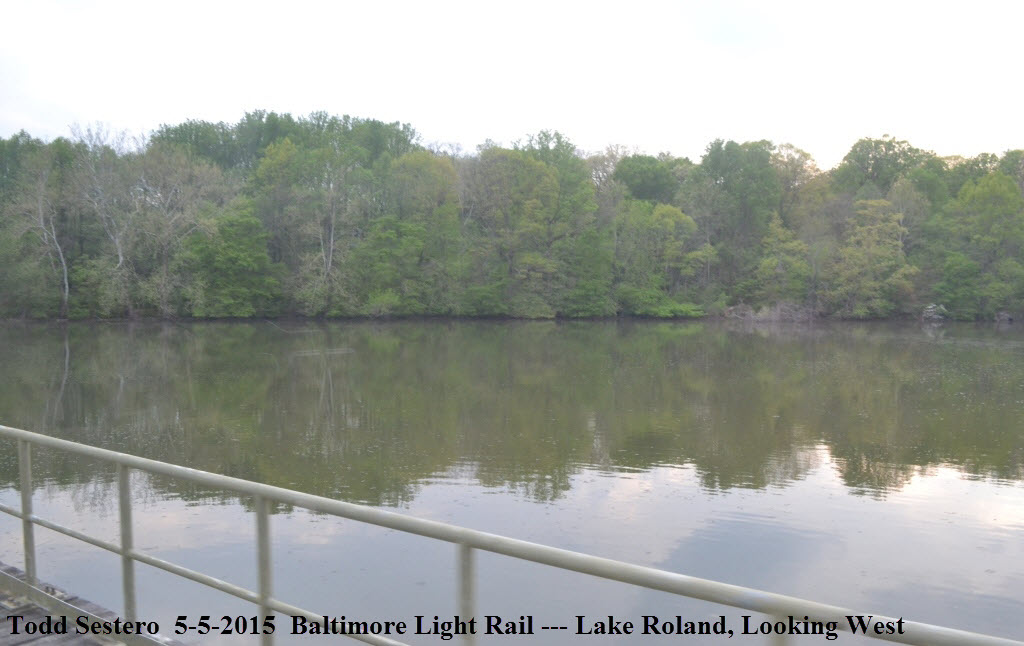
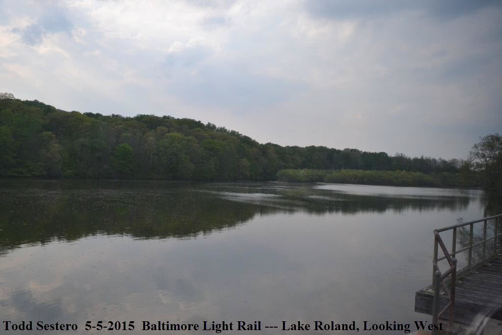
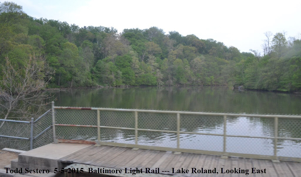
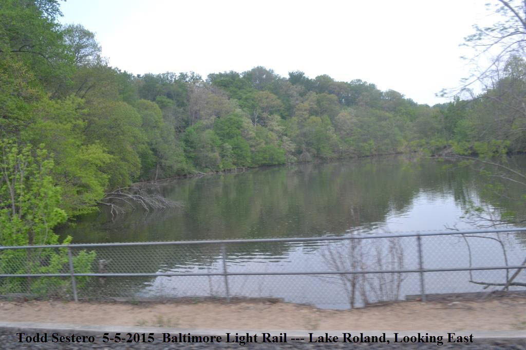
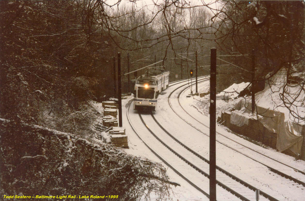
at Lake Roland and the Robert E. Lee Park
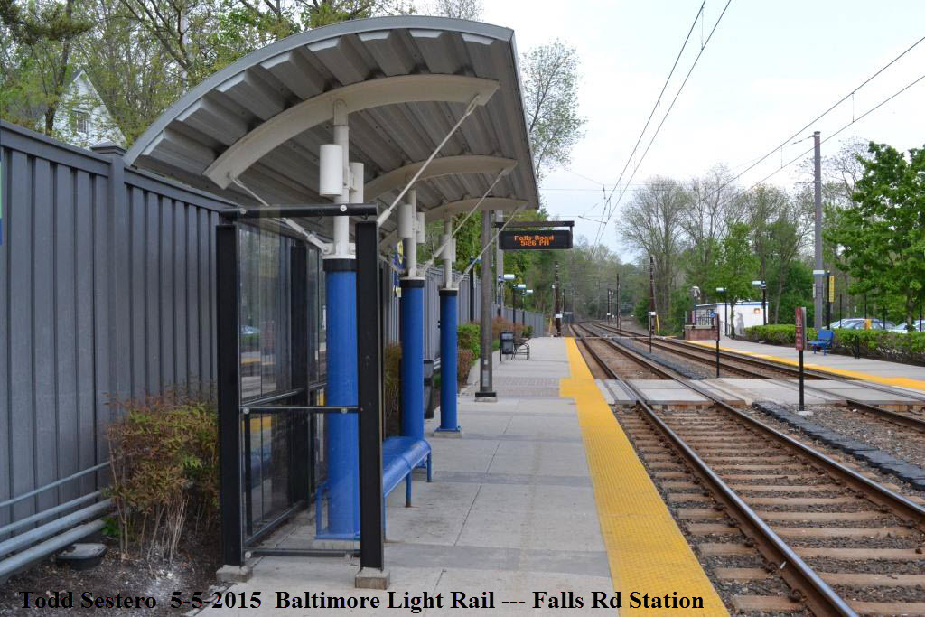
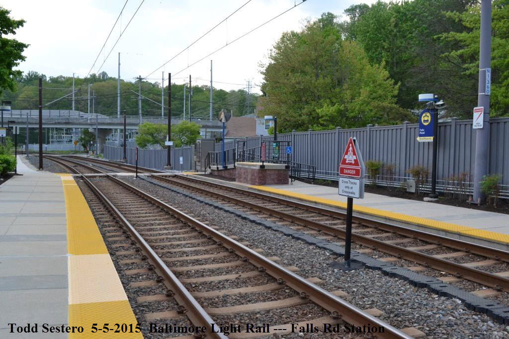
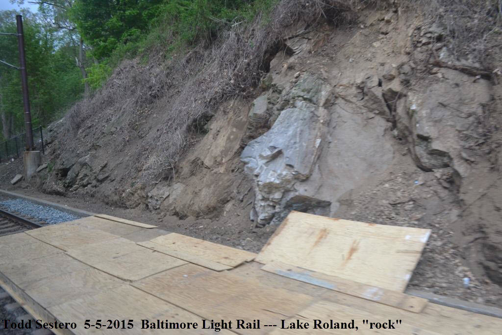
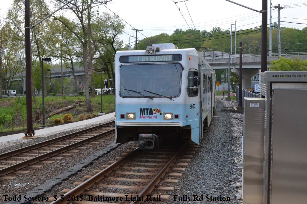
During late April and May 2015, I noticed
that all the trains passing behind my house were on the SB track, so on
Cinqo de Mayo day, I went for a ride down to the Falls Road station, and
found that the MTA had closed off the NB (northbound) side because of the
rock outcropping. Dunno why (as of this day) they still had the NB side
closed, but it obviously concerns "them".
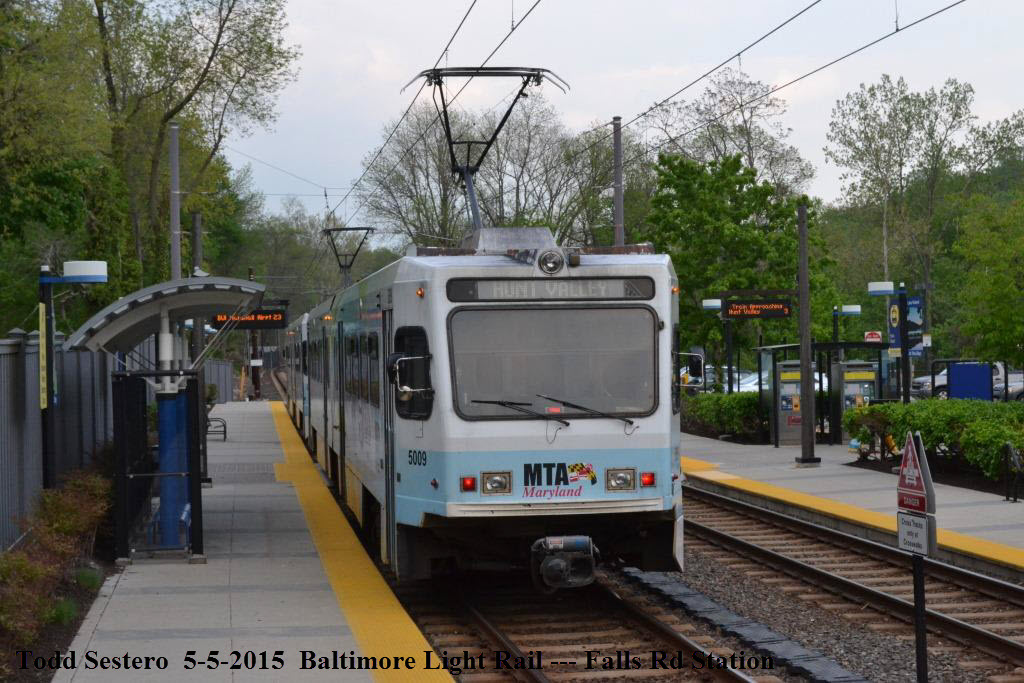
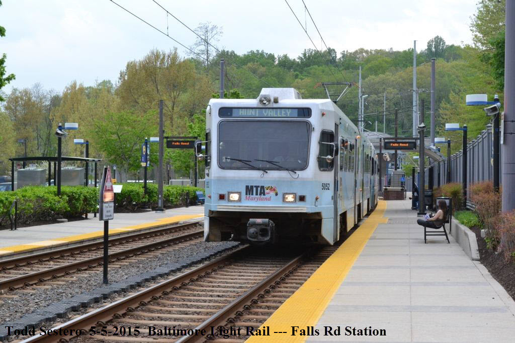
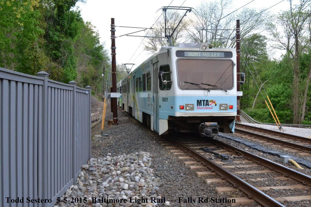
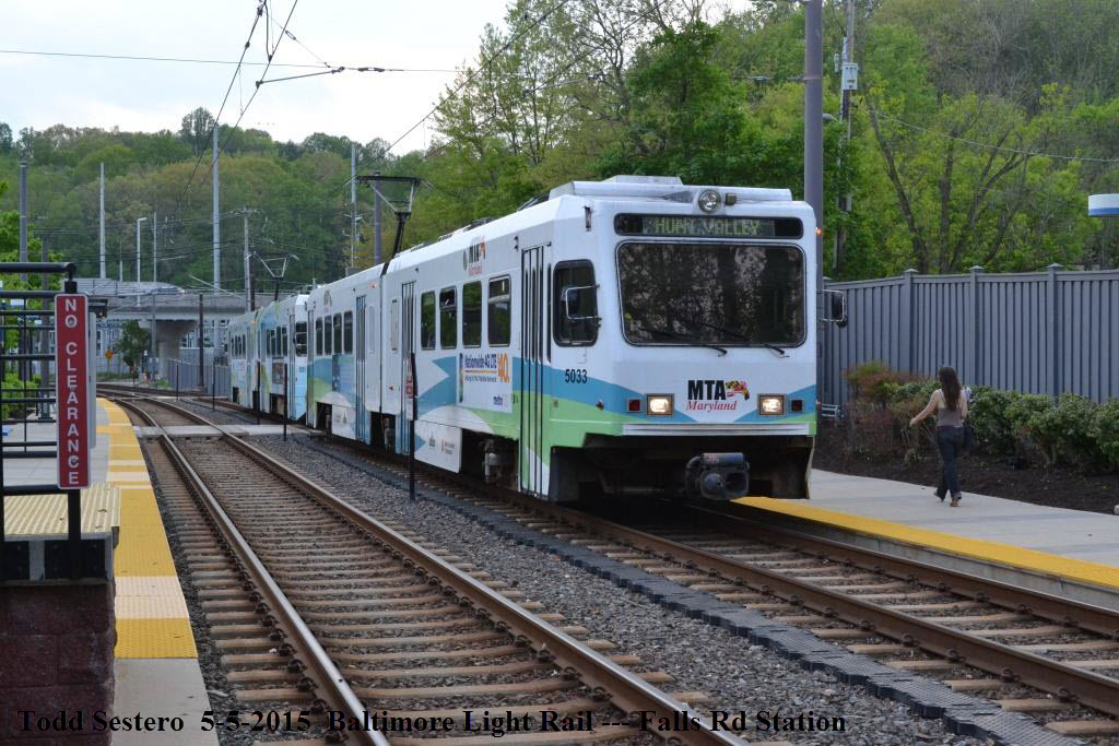
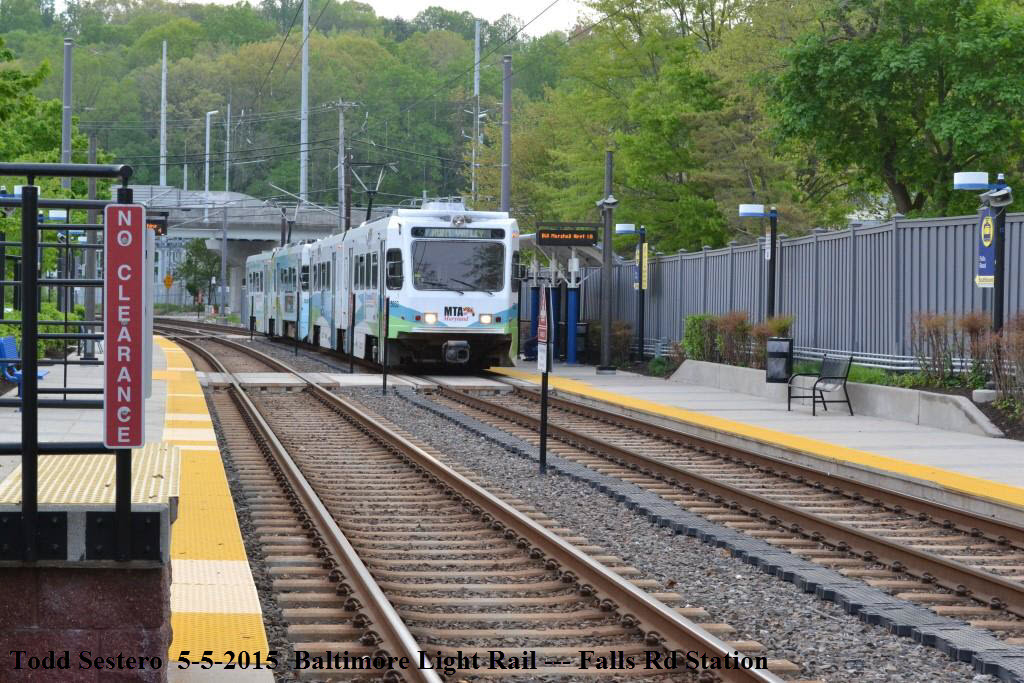
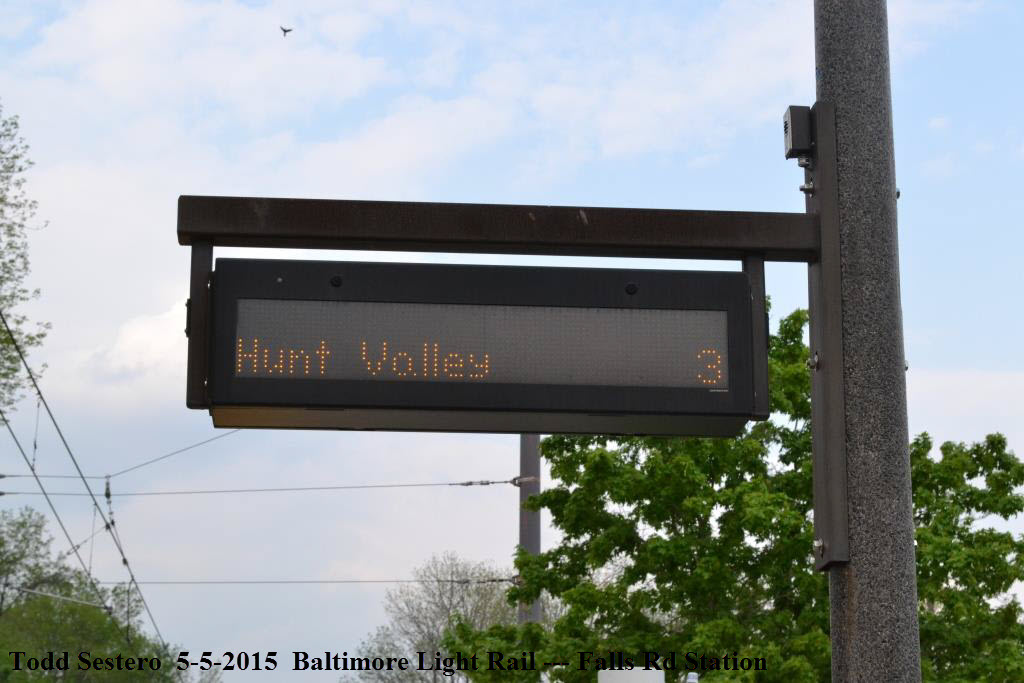
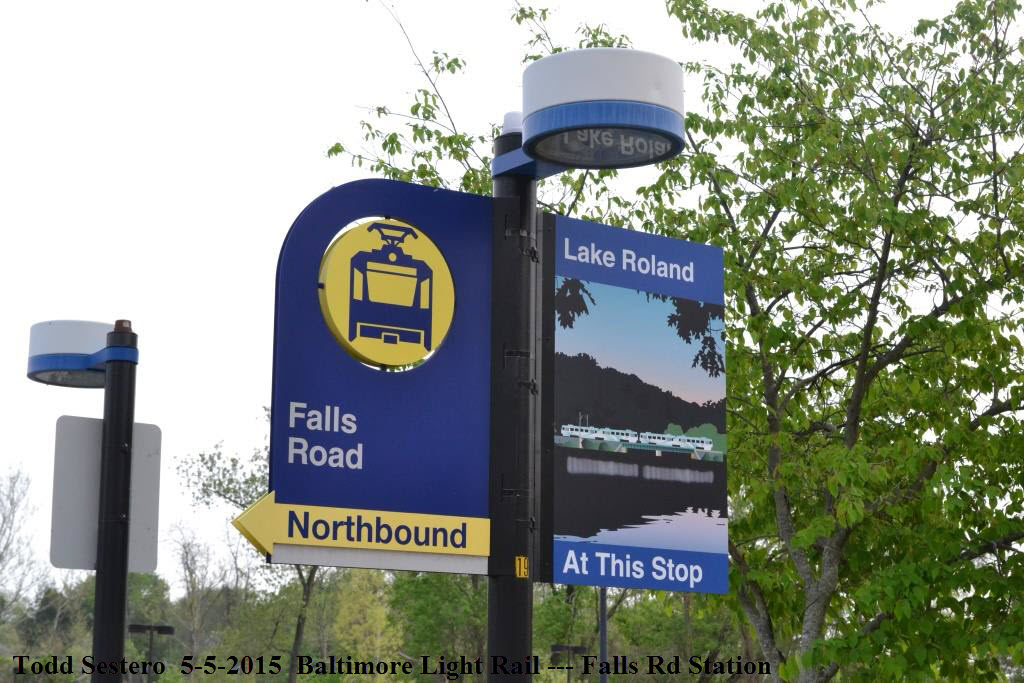
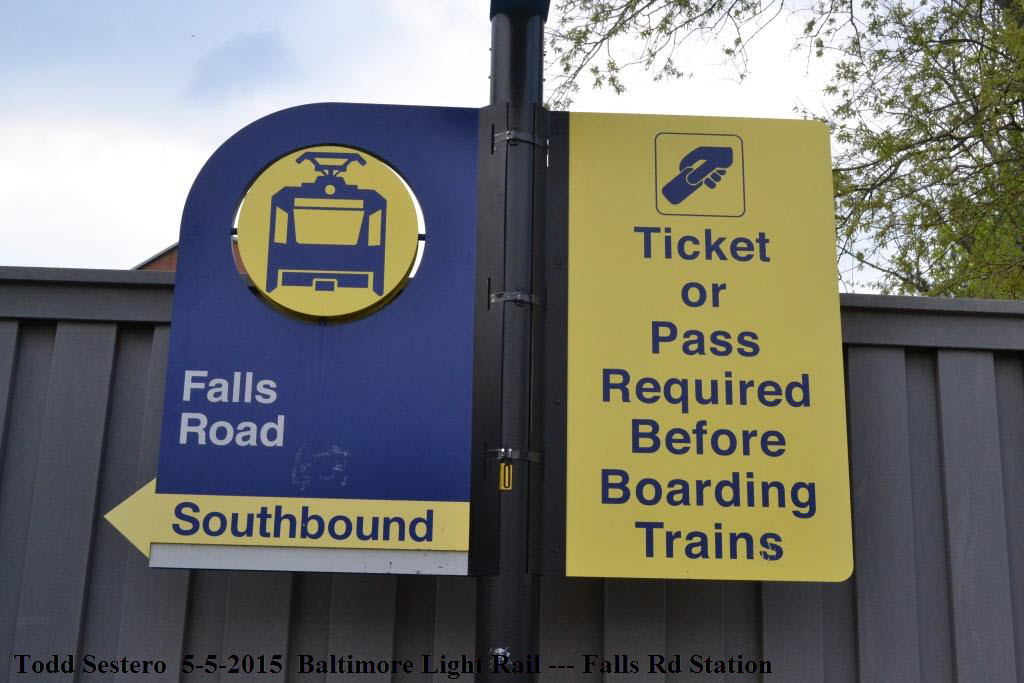
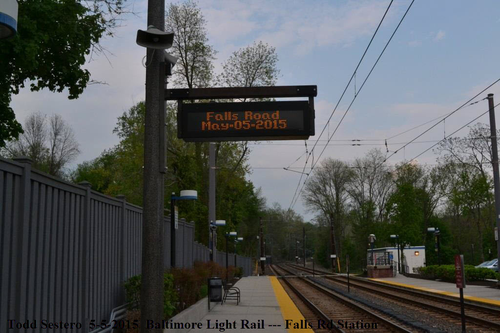
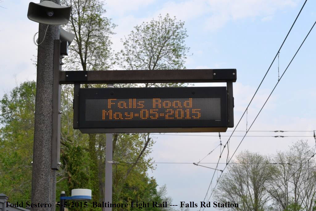
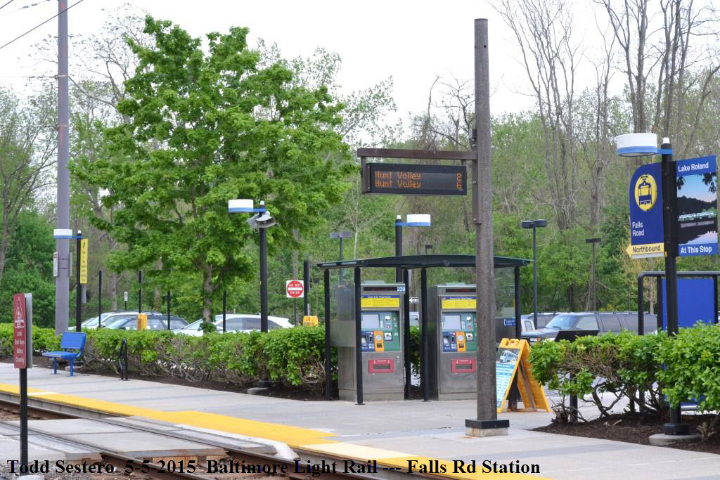
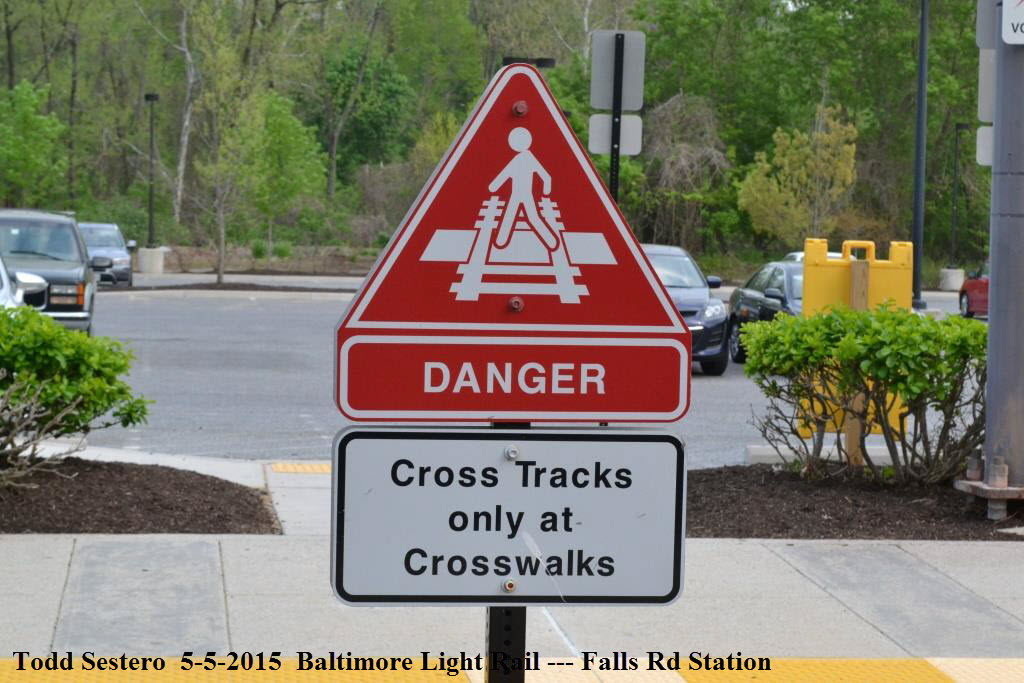
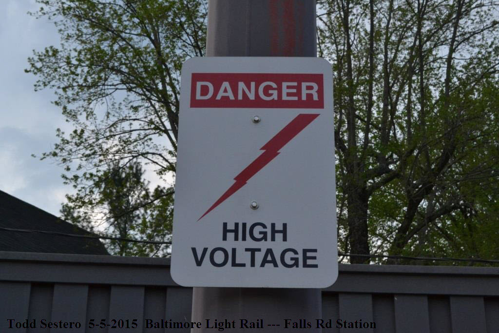
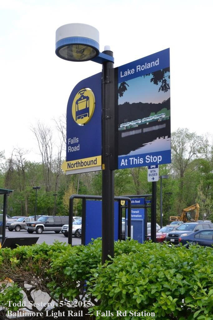
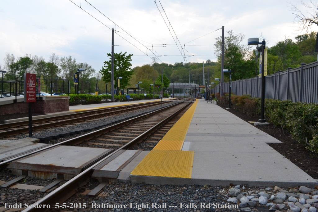
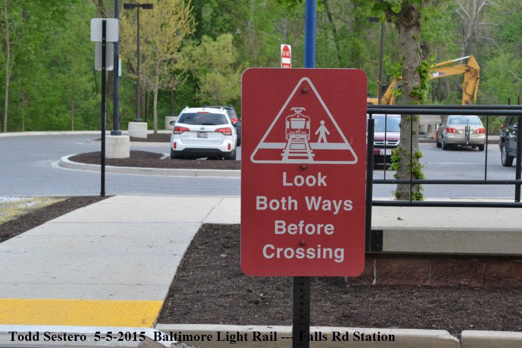
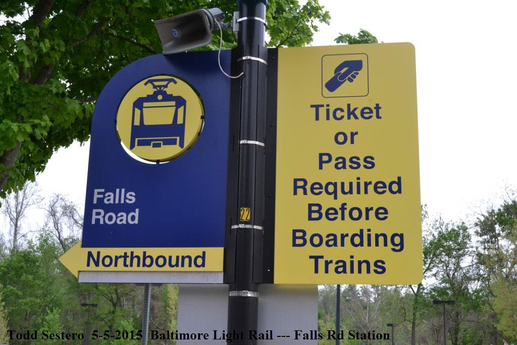
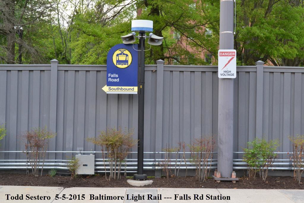
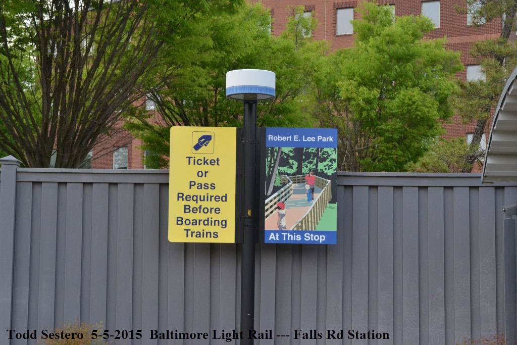
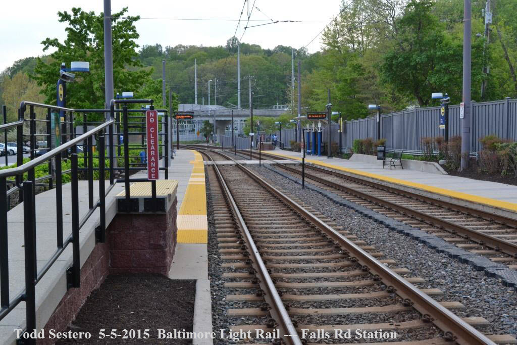
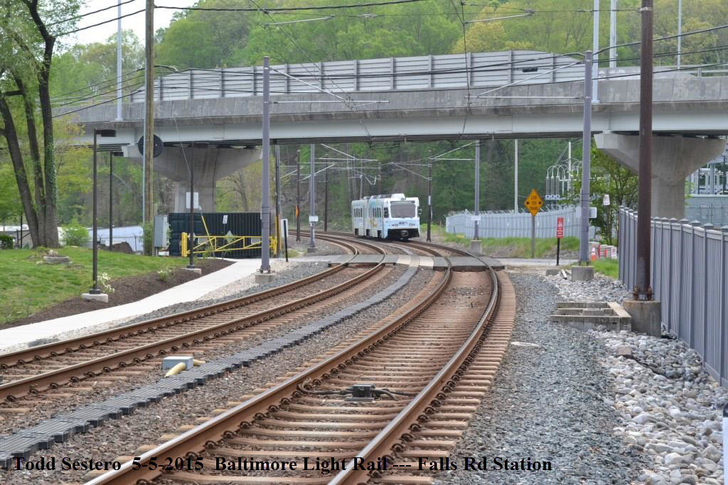
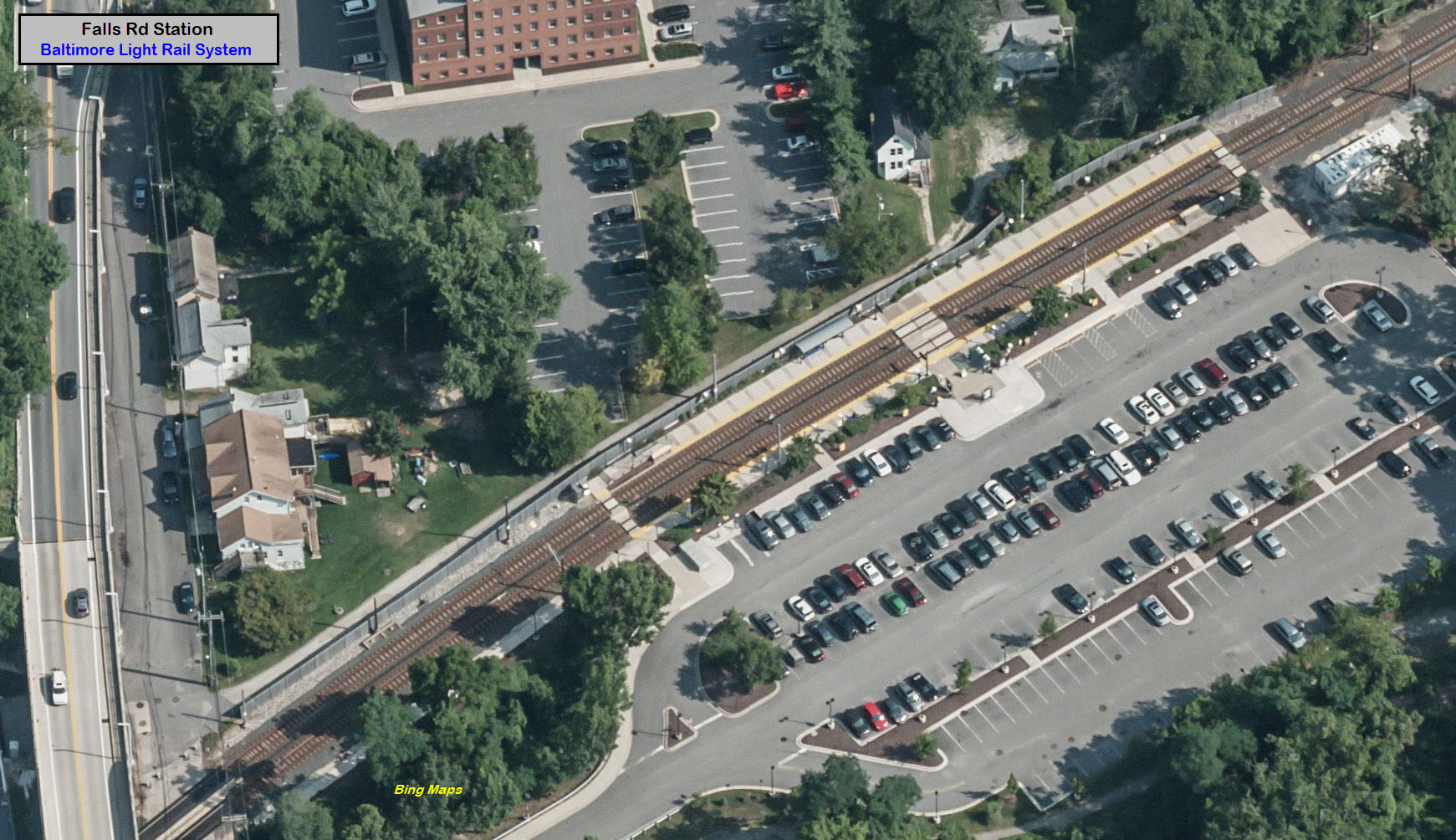
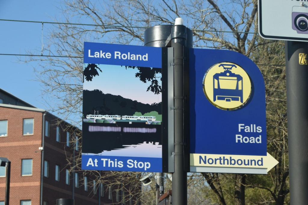
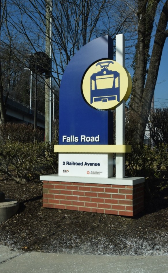
Falls Road Station
GPS Coordinates: 39.376602, -76.649733
Access to the expansive Lake Roland area in what used to be the Robert E. Lee
park is easy from the parking lot.
Area residents, weary of the foot traffic and crime, had the light rail folks
put in a barrier so you can't get to the business' just seen at the top of the
aerial shot without walking down to the Falls Road bridge over the tracks and
walking about 5 times the distance :-(
Notice it's on the "wrong" side.
Detail pictures from May 2015:
under Falls Road
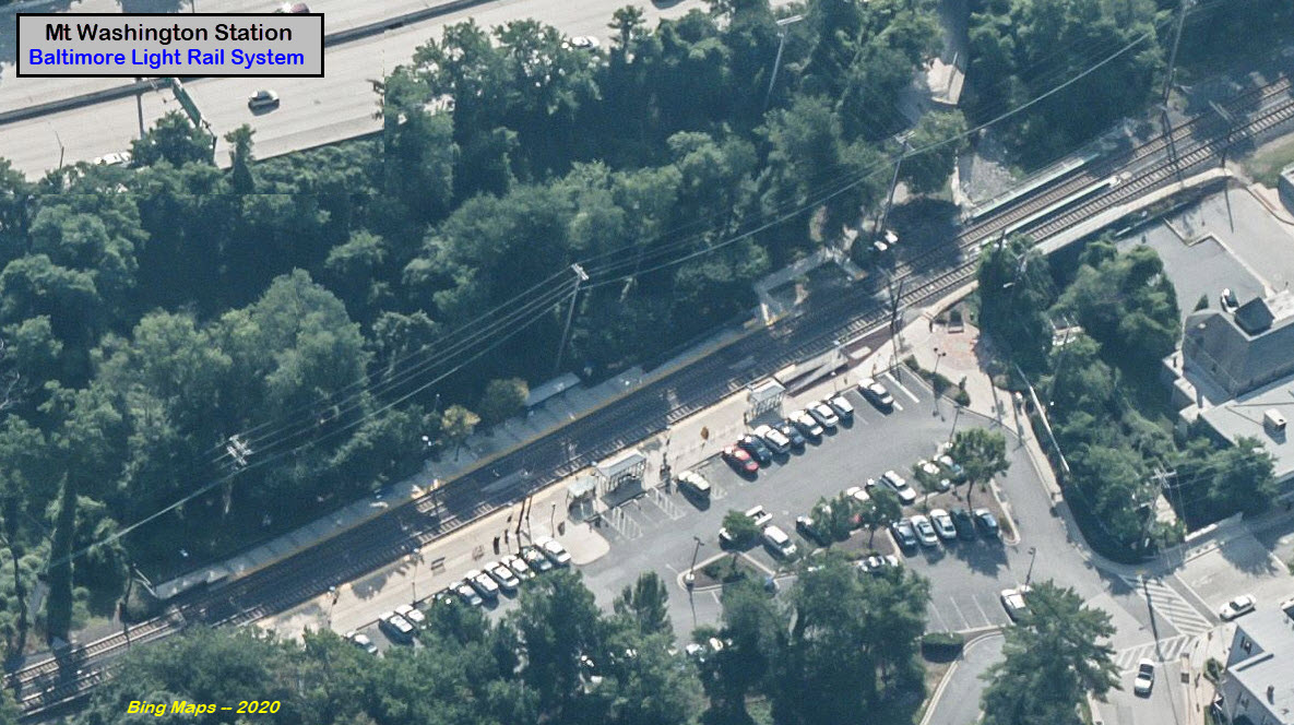
Mt Washington Station
GPS Coordinates: 39.368424, -76.652156
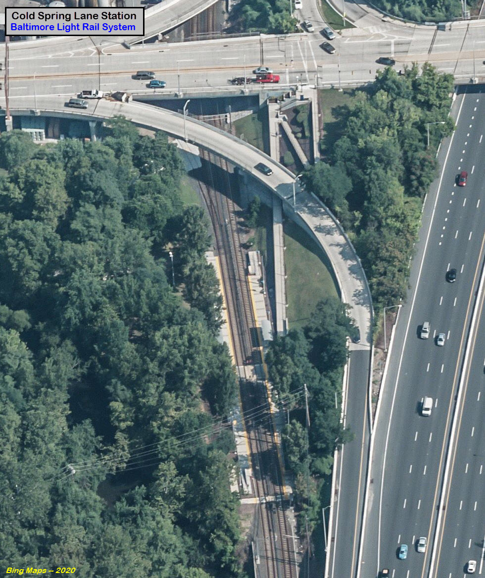
Cold Spring Lane Station
GPS Coordinates: 39.344130, -76.647927
This is the only station you have to walk to (or take a bus), to get to, as
there is no place to park anywhere close. And, because the station
is about 50 feet below Cold Spring Lane, there is a ridiculous ramp to get down
to the station level. I would generally skip this station for a
picture, unless for some reason, you need a picture at the location of one of the last business'
to use rail service on the line, a vinegar manufacturer (Fleischmann's Vinegar Co) on the west side of the
line. As far as I know, the siding is still there.
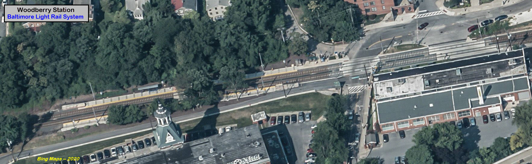
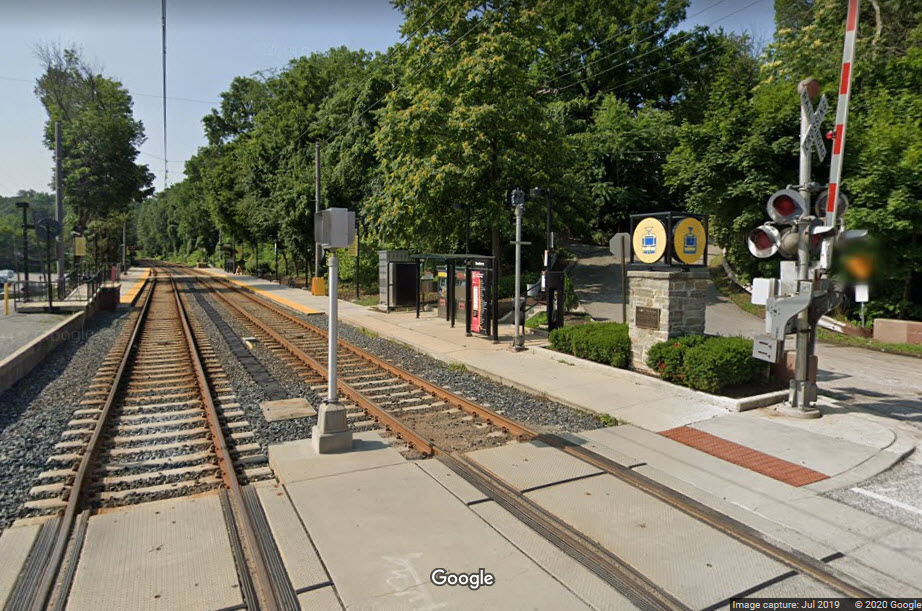
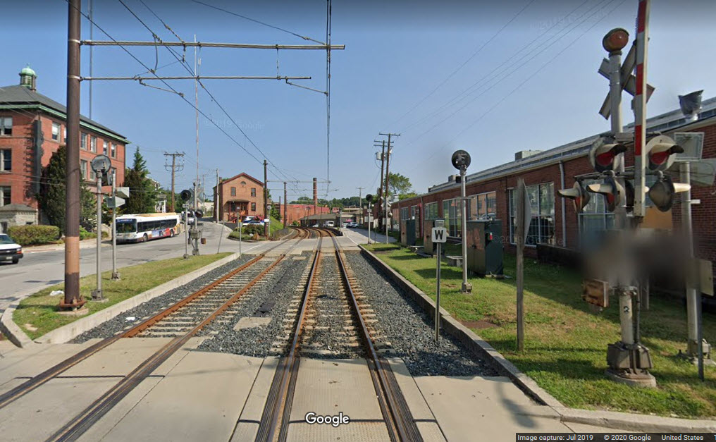
Woodberry Station
GPS Coordinates: 39.331214, -76.643414
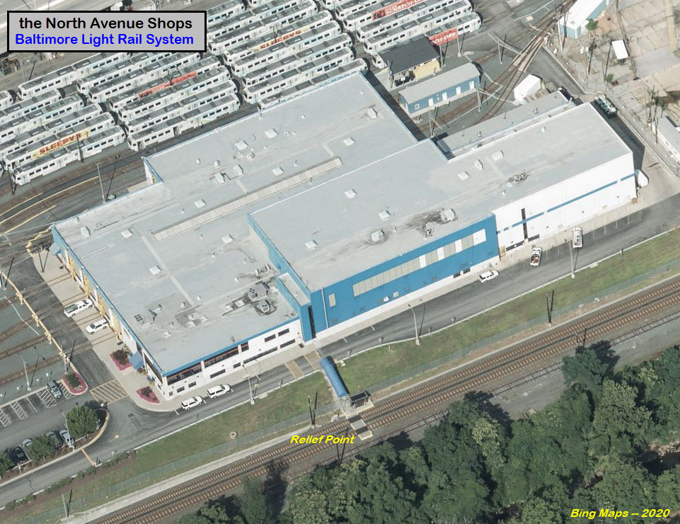
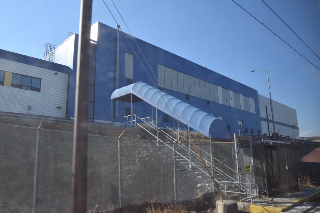
The North Avenue Shops/Maintenance Facility
GPS Coordinates: 39.315176, -76.626474
The Relief Point
If the train ever stops, seemingly in the middle of no-where, and
you are in the lead car, you will notice that this is the relief point,
where the operators change out. They usually do runs for two hours,
then get about 30 minutes of down time before being assigned to another train.
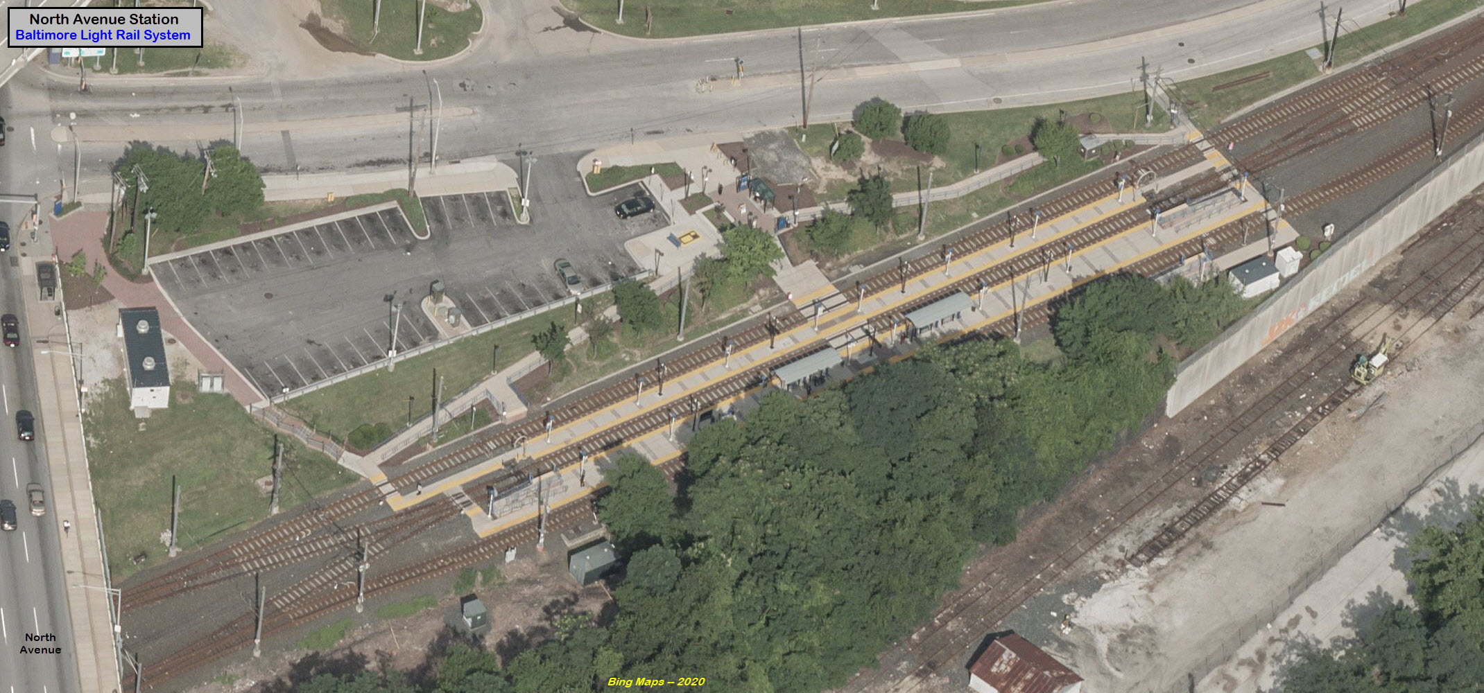
North Avenue Station
GPS Coordinates: 39.311787, -76.622546
Under North Avenue
Disclaimers:
I love trains, and I love signals. I am not an expert. My webpages reflect what I find on the topic of the page. This is something I have fun with while
trying to help others.
Please Note: Since the main focus of my two websites is railroad signals, the railfan guides are oriented towards the signal fan being able to locate them.
For those of you into the modeling aspect of our hobby, my indexa page has a list of almost everything railroad oriented
I can think of to provide you with at least a few pictures to help you detail your pike.
If this is a railfan page, every effort has been made to make sure that the information contained on this map and in this railfan guide is correct. Once in a while,
an error may creep in :-)
My philosophy: Pictures and maps are worth a thousand words, especially for railfanning. Text descriptions only get you so far, especially if you get lost or
disoriented. Take along good maps.... a GPS is OK to get somewhere, but maps are still better if you get lost! I belong to AAA, which allows you to get
local maps for free when you visit the local branches. ADC puts out a nice series of county maps for the Washington DC area, but their state maps do not have the
railroads on them. If you can find em, I like the National Geographic map book of the U.S..... good, clear, and concise graphics, and they do a really good job
of showing you where tourist type attractions are, although they too lack the railroads. Other notes about specific areas will show up on that page if known.
Aerial shots were taken from either Google or Bing Maps as noted. Screen captures are made
with Snagit, a Techsmith product... a great tool if you have never used it!
By the way, floobydust is a term I picked up 30-40 years ago from a National Semiconductor data book, and means miscellaneous
and/or other stuff.
Pictures and additional information is always needed if anyone feels inclined to take 'em, send 'em, and share 'em, or if you have something to add or correct.... credit
is always given! Please be NICE!!! Contact info is here
Beware: If used as a source, ANYTHING from Wikipedia must be treated as being possibly being inaccurate, wrong, or not true.

 Notice it's on the "wrong" side.