RAILFAN GUIDES HOME RAILROAD SIGNALS HOME
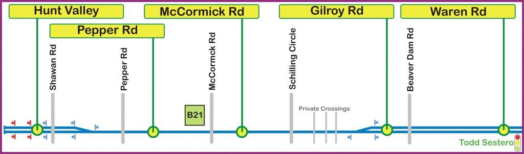
This page will cover the stations of the Baltimore Light Rail System
starting in Hunt Valley MD, the northern terminus of the system, progressing
south to the Lutherville station. I will also cover the grade
crossings and anything else of interest along the way!
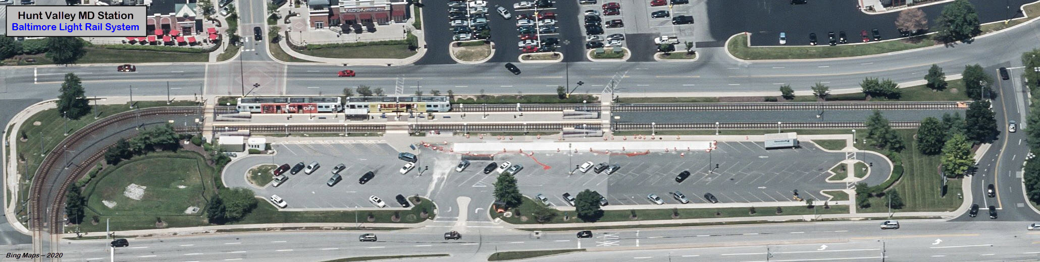
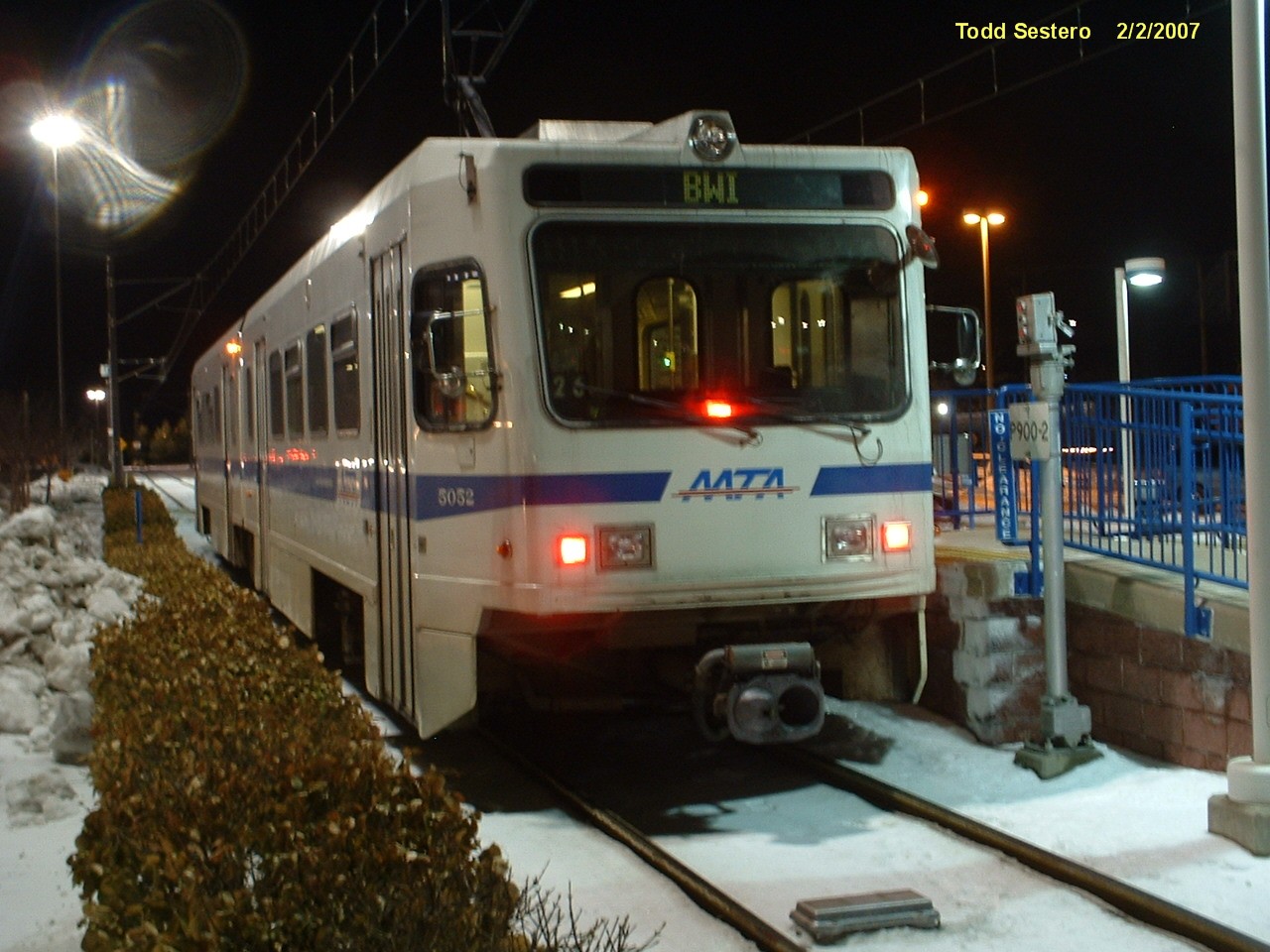
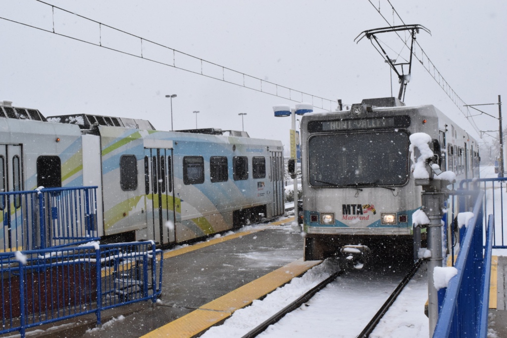
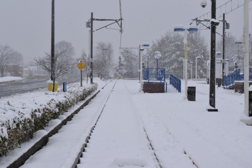
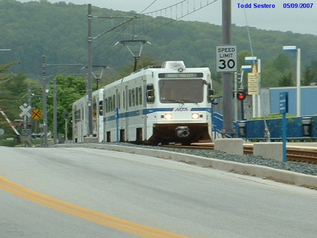
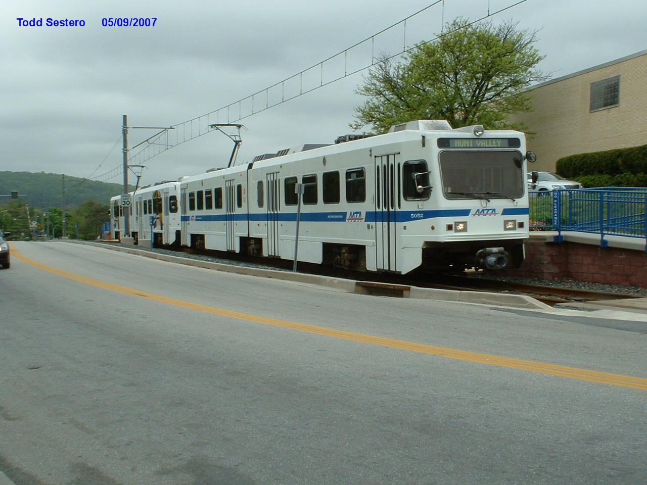
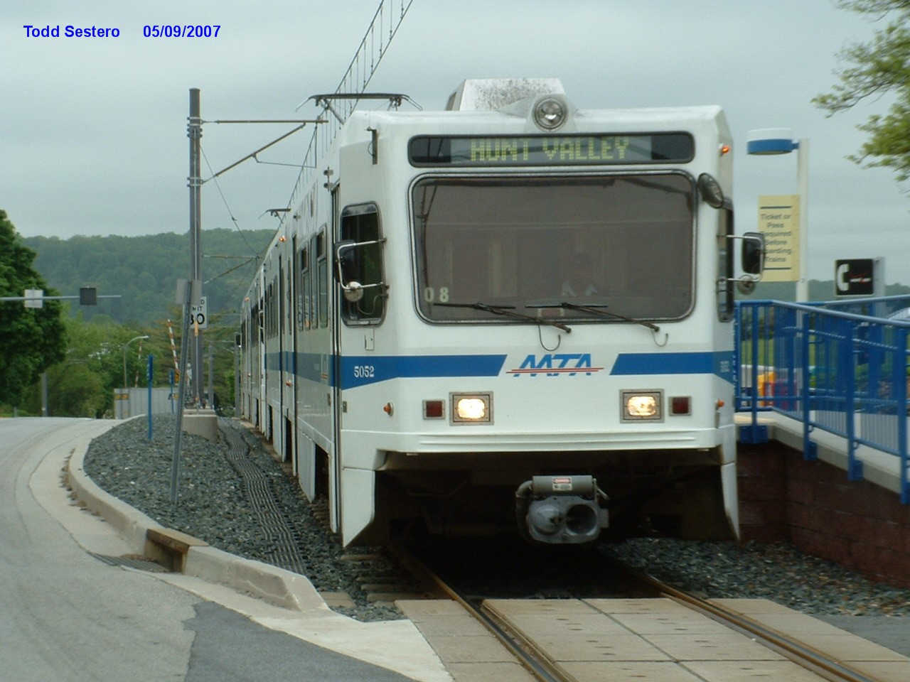
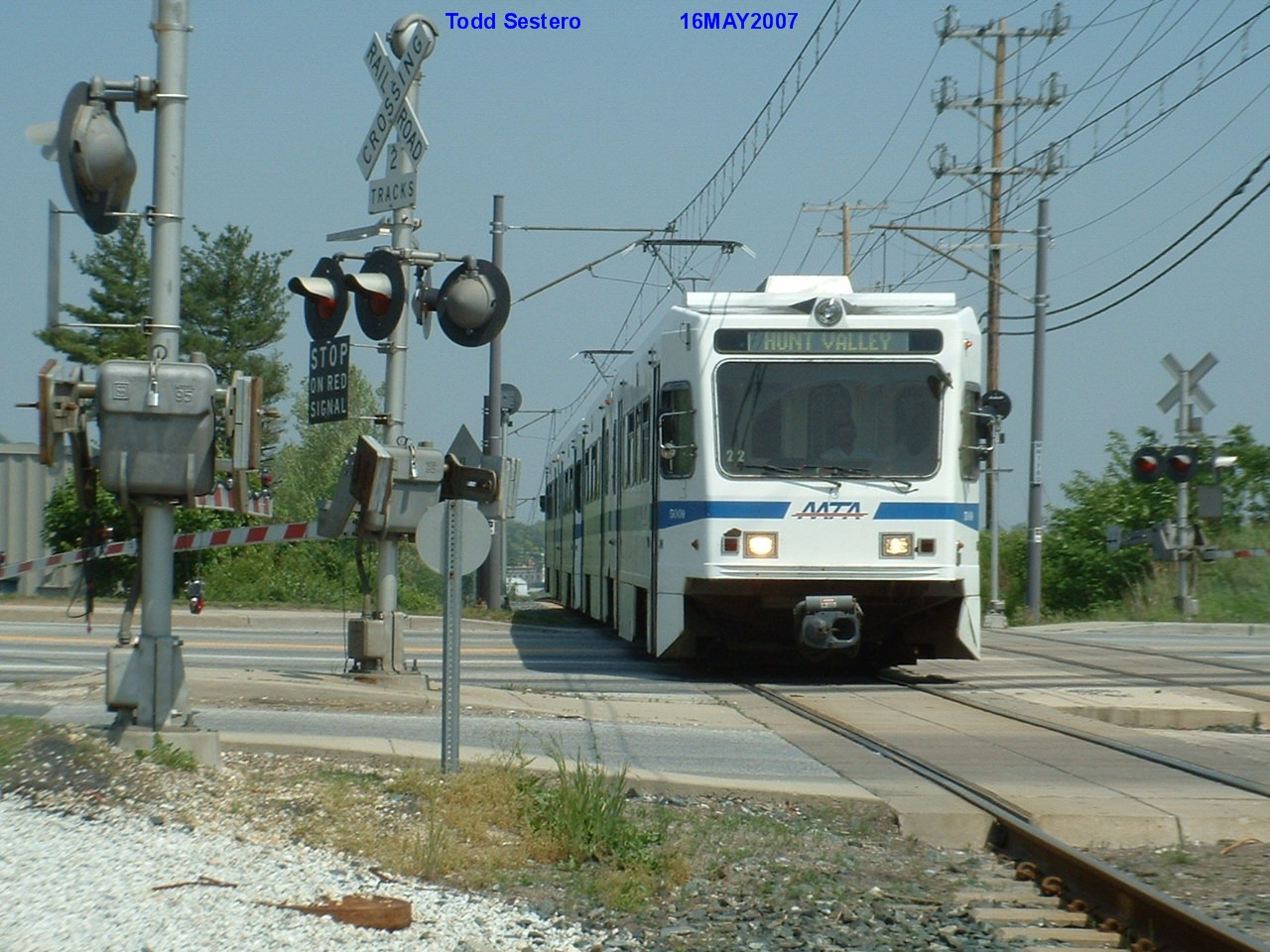
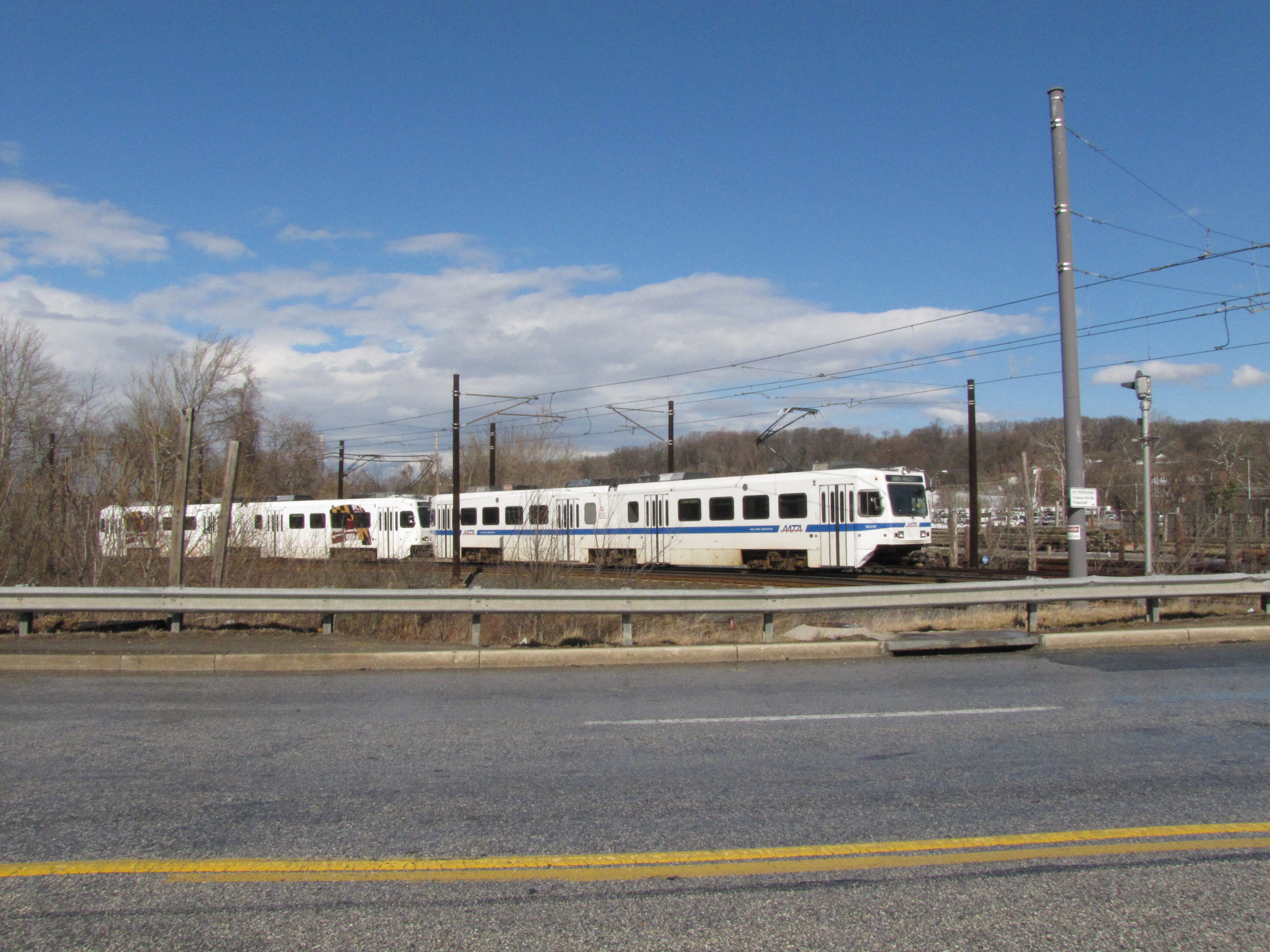
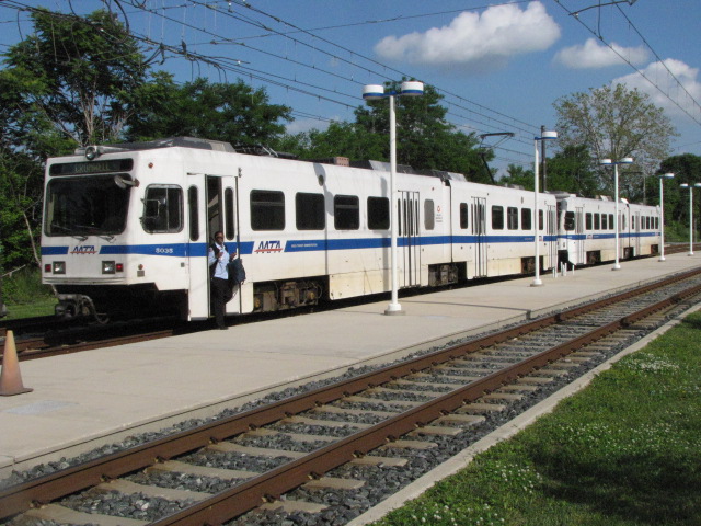
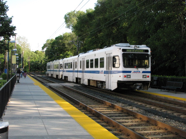
Hunt Valley Station
GPS Coordinates: 39.496289, -76.654300
One of three stations on "someone else's" property, the other two being Penn
Station and the BWI station. This station is on the grounds of the Hunt
Valley Mall, and the "new" owners, who bought the mall after the light rail came
here, had wished the station was an integral part of the mall instead of at the
perimeter, something on the order of the Mall of America in Minneapolis MN.
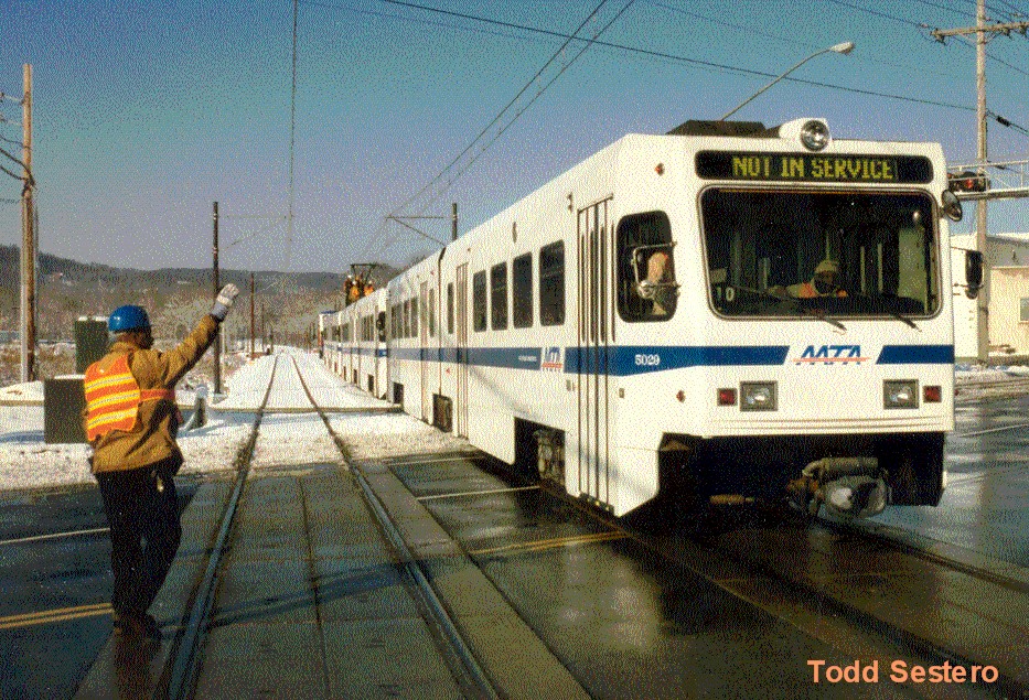
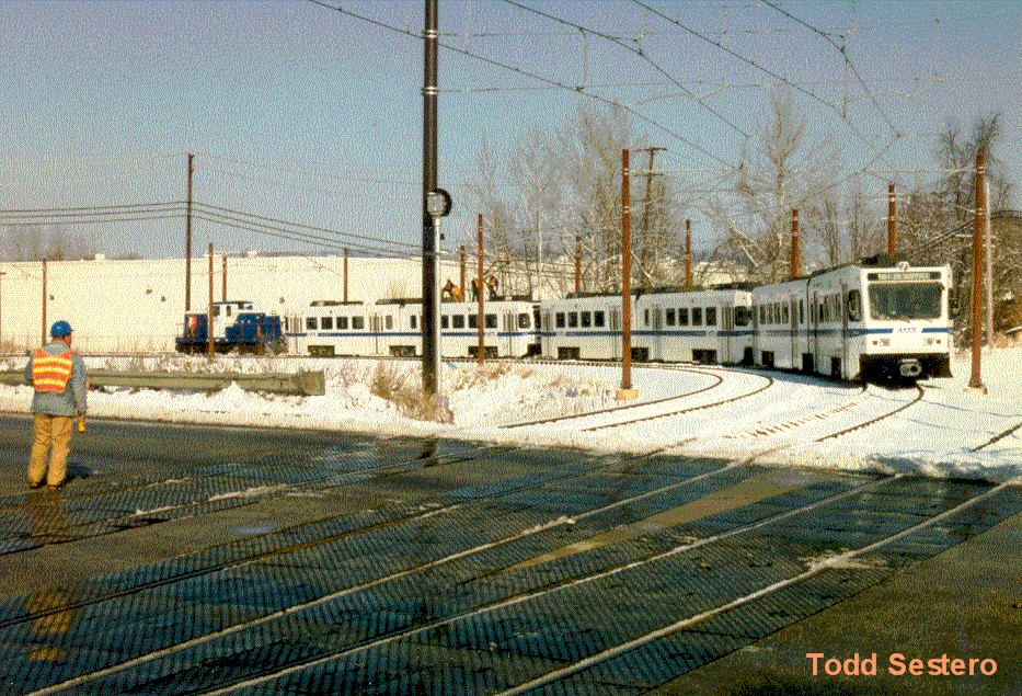
The Hunt Valley station, being the end of the line, has room for two
additional 3-pack trains beyond the station platforms. Movements out of the
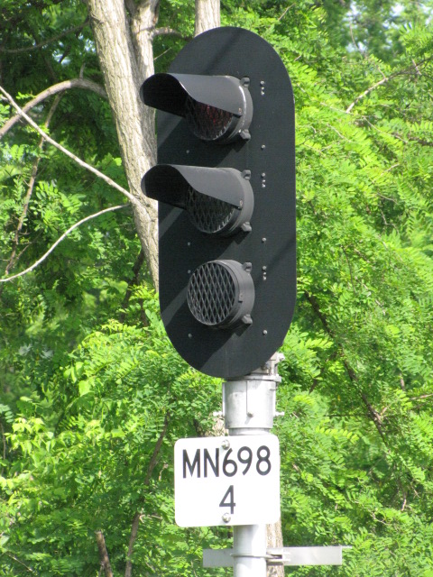
tail tracks is controlled by a Pennsylvania RR style dwarf PL signal, an atypical
signal for light rail systems. If you want to discover what a PL signal is, check
out my PL page here.
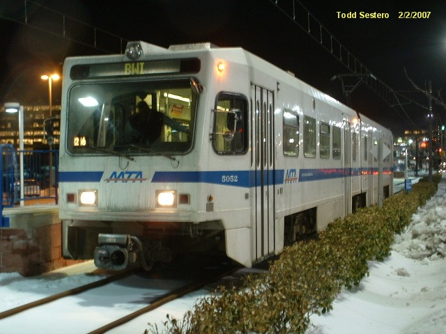
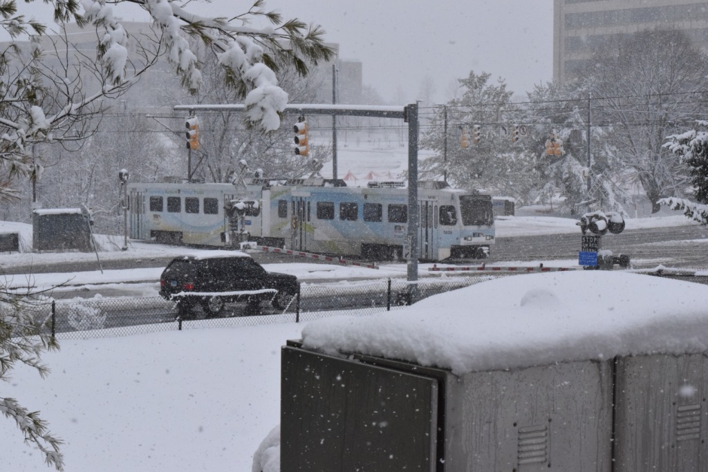
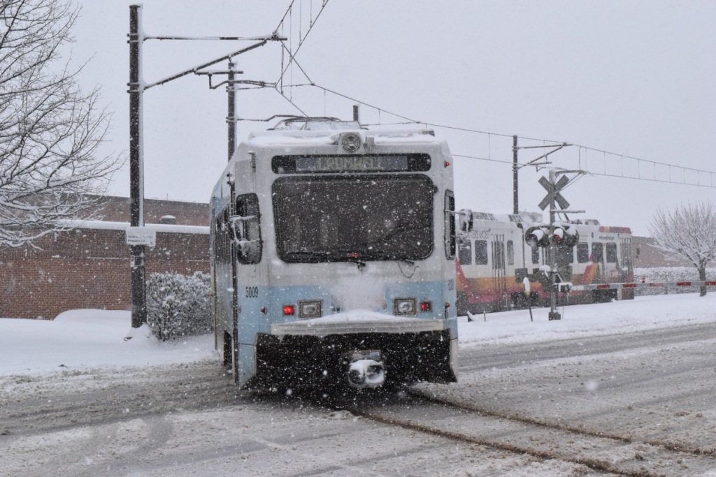
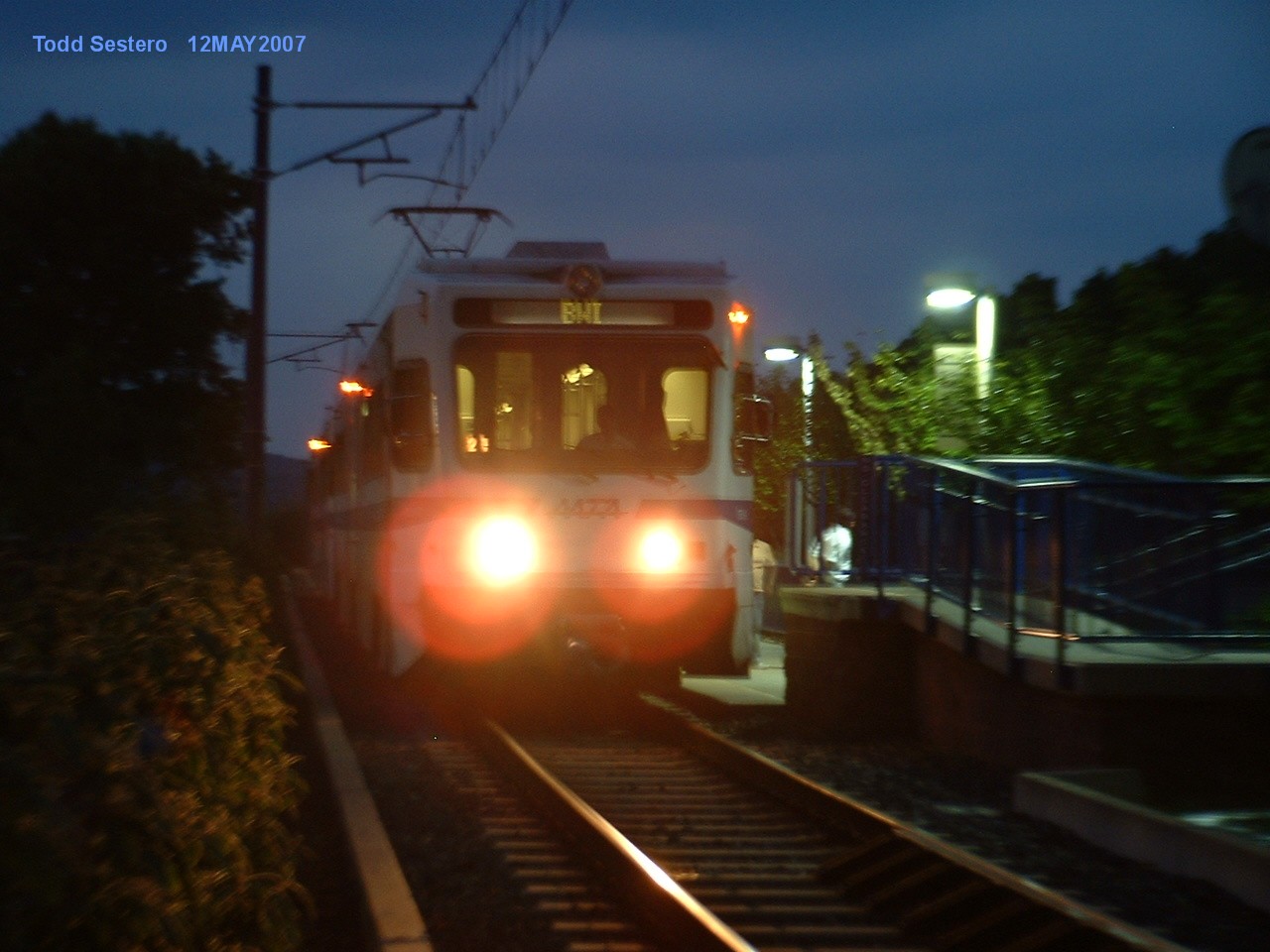
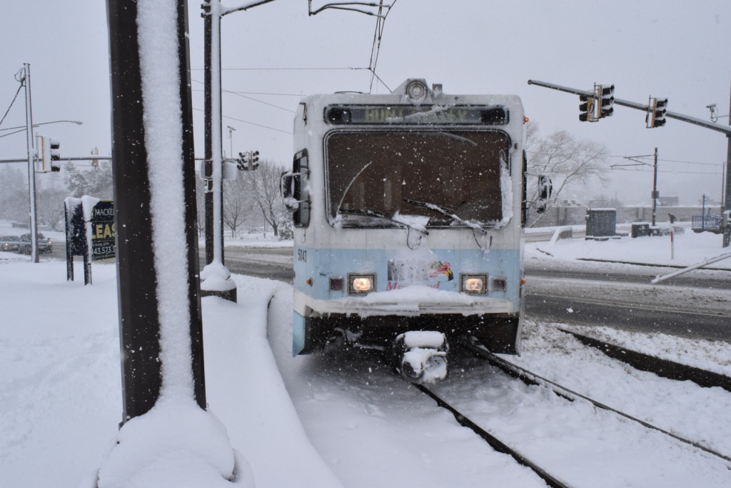
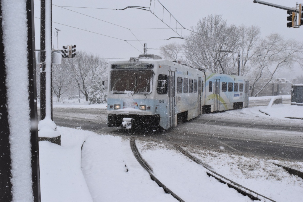
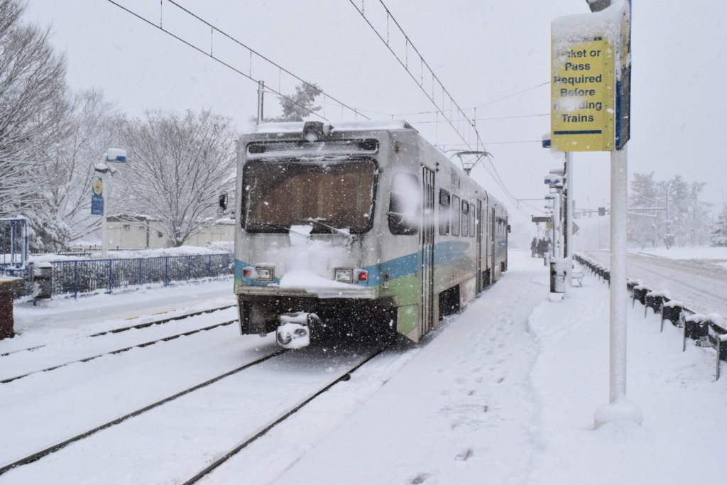
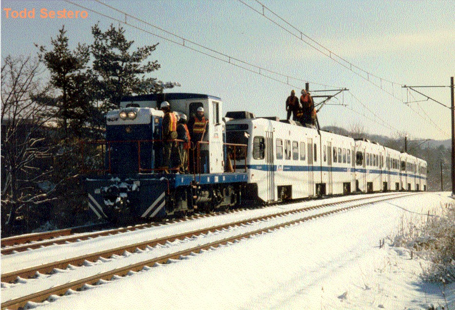
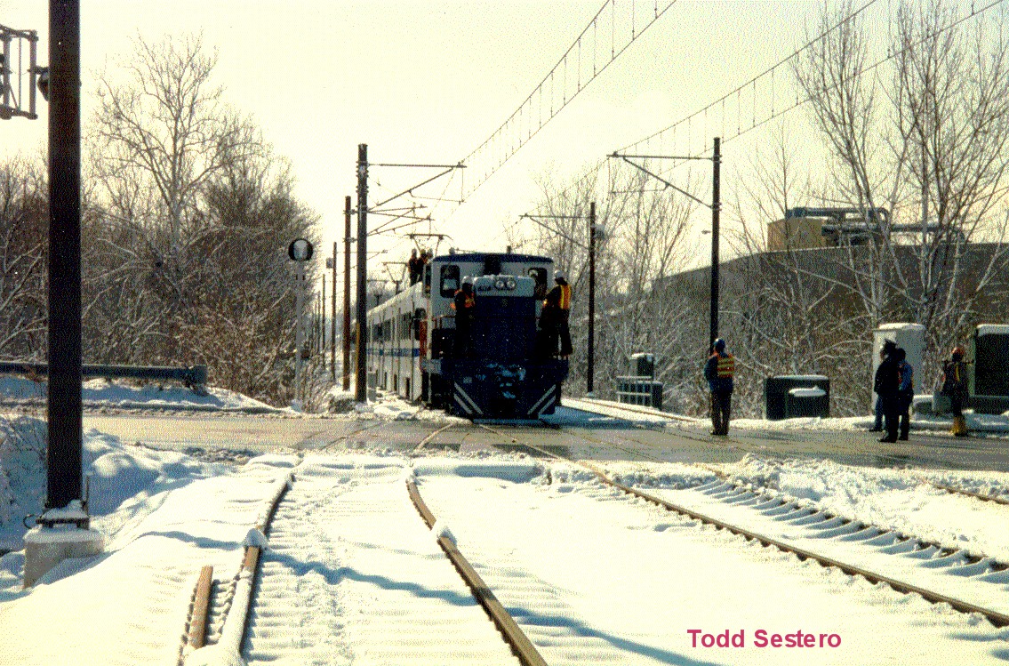
A couple of shots of 5052 laying over at Hunt Valley on a snowy evening.
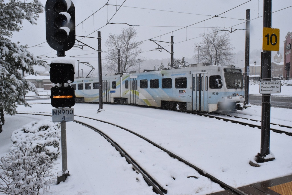
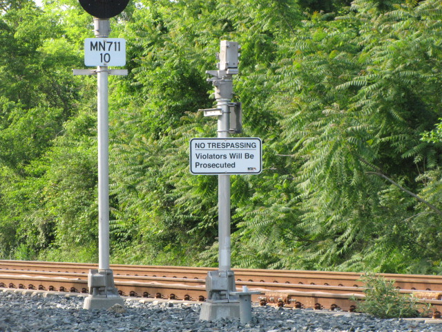
Shawan Road - Grade Crossing
Schilling & Pepper Roads - Grade Crossing
A SB above, and a NB to Hunt Valley below.
Coming up from Shawan Rd
Pepper Road Station
GPS Coordinates: 39.492159, -76.656134
Too bad we didn't have light rail in the industrial park back in the 1978-1980
timeframe, I worked in the building right next to the station! :-)
Back then, it was Westinghouse B21 (Building 21 / Commercial Systems Test and
Repair, and the Calibration Lab).
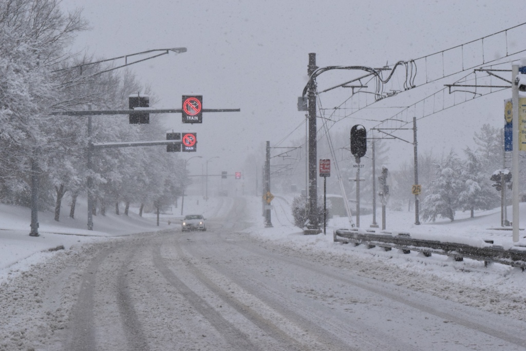
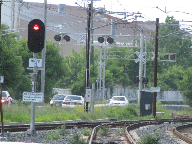
McCormick Road & Schilling Circle - Grade Crossing
SB train getting ready to cross McCormick Rd
NB train heading to Hunt Valley - the pictures above illustrate why they usually have plastic bags over the
couplers during the snowy days!
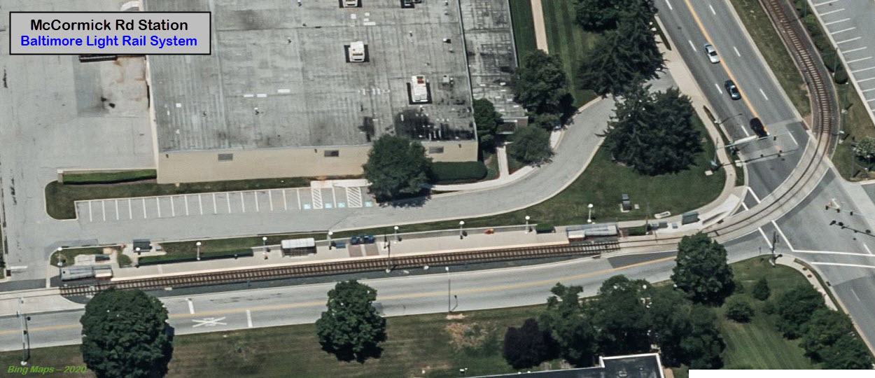
McCormick Road Station
GPS Coordinates: 39.489566, -76.659062
McCormick Spices used to own most of the land and buildings in the Hunt Valley
Industrial Park at one time, say, back in the 1980's when I worked at
Westinghouse, and "we" leased the buildings from them at an average price of
around $50-60K a month.
NB train at the McCormick station.
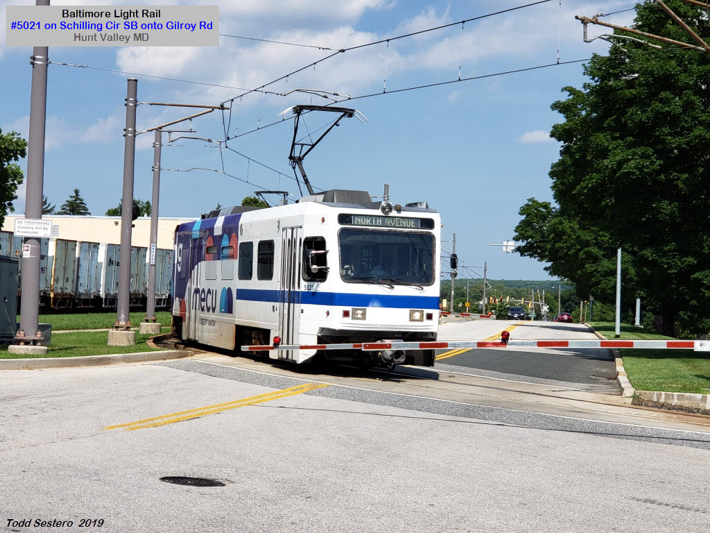
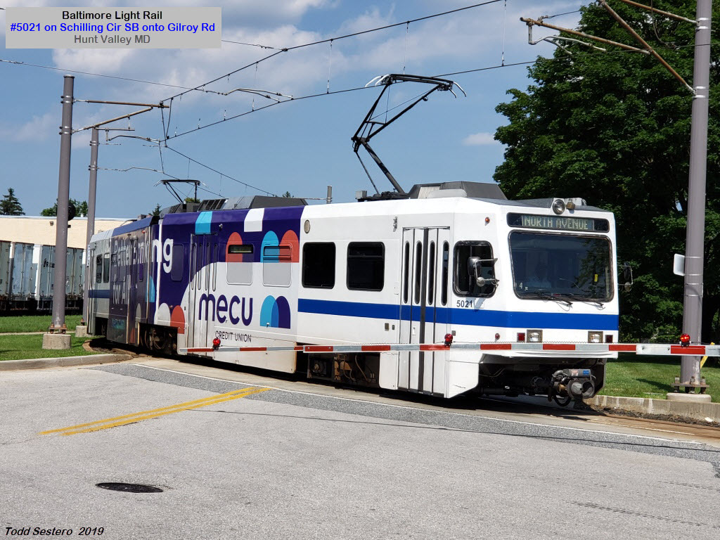
Schilling Circle - Grade Crossing
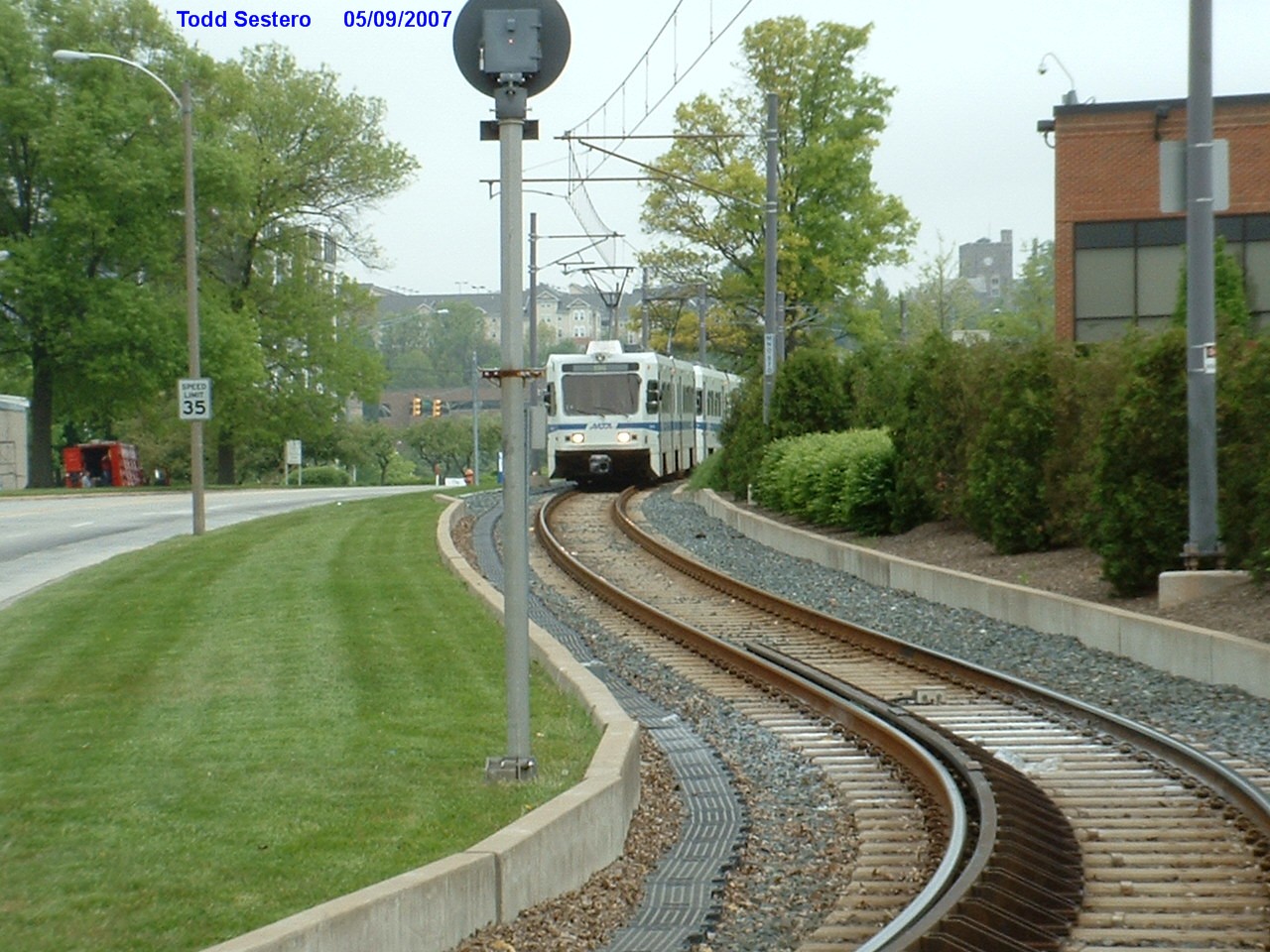
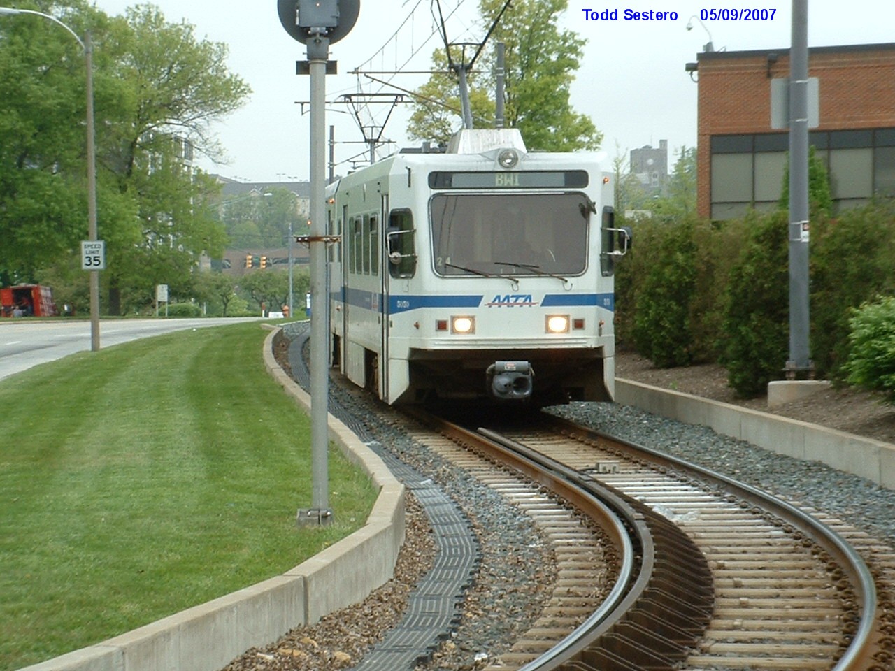
Taking the curve from Schilling Circle to Gilroy Rd, #5021 heads south:
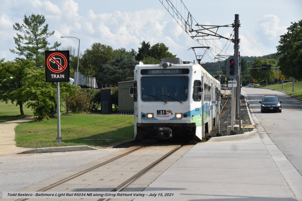
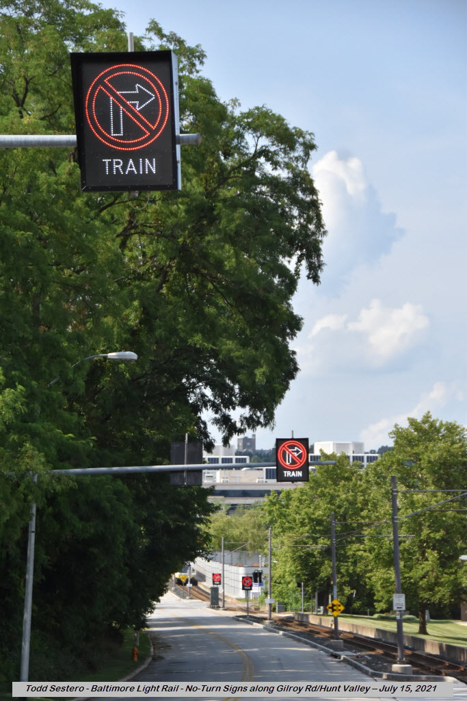
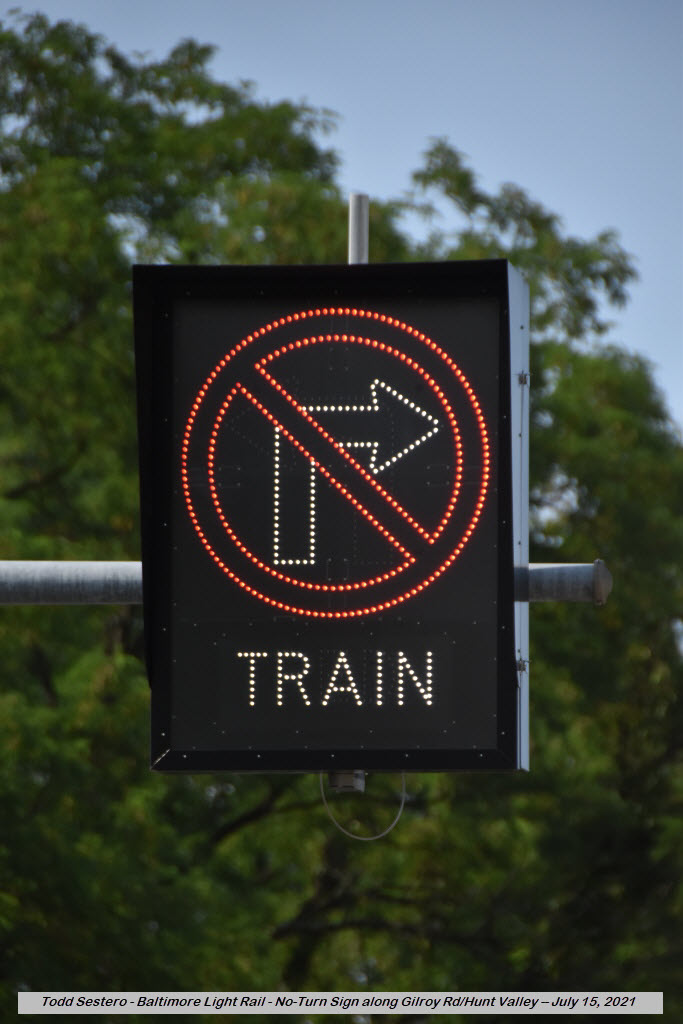
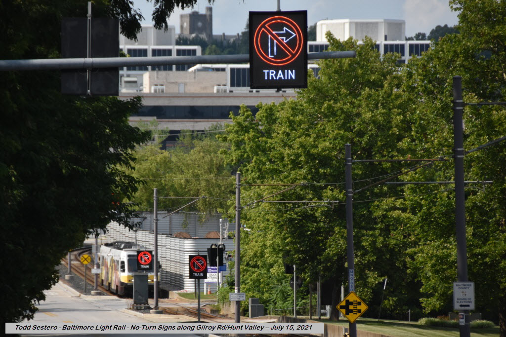
Along Gilroy Road #1
The "no right turn" and "no left turn" signs along Gilroy Rd make it a pretty cool spot to take pictures
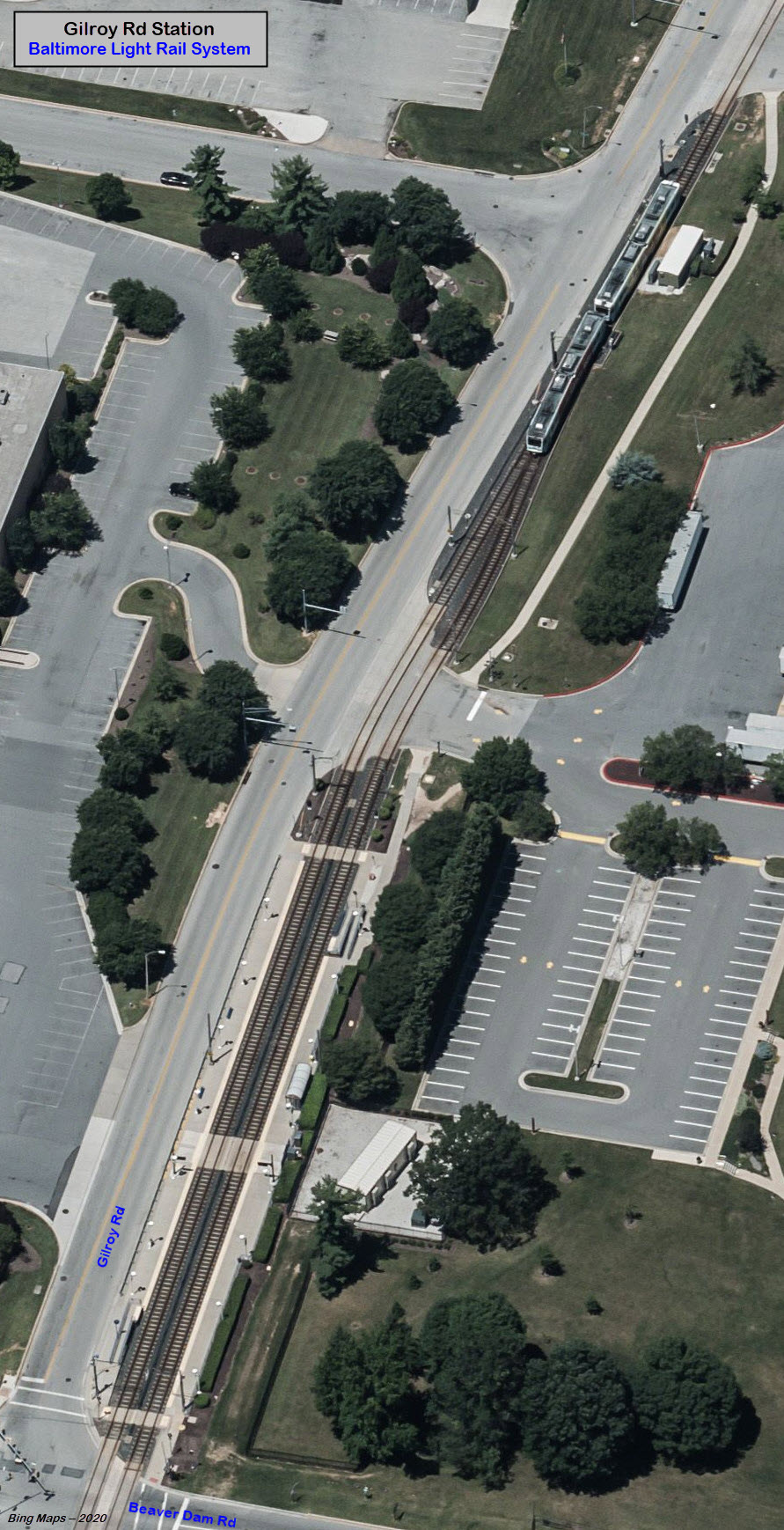
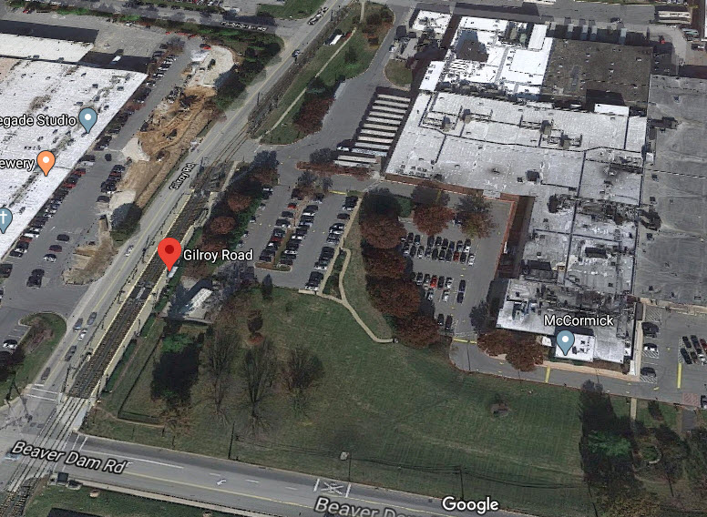
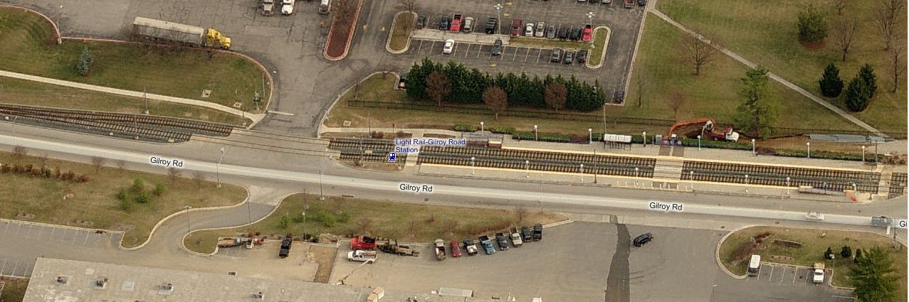
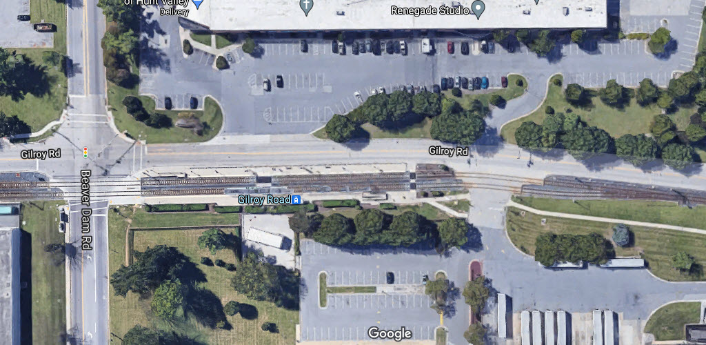
Gilroy Road Station
GPS Coordinates: 39.489566, -76.659062
Heading southbound, after winding our way thru the industrial park on a single
track, we go back to being a double track line before entering the Gilroy station.
In the other aerial view from Google, you can see one of the McCormick plants of
Hunt Valley. Until the 90's or so, there was still a siding servicing the
McCormick plant which came off the old PRR Hunt Valley branch prior to the light
rail "coming thru town".
The NB signal for trains heading to Hunt Valley is fairly unique in that it only displays two
aspects as seen below. Signals like this also show up at the Timonium turn around.
You can almost always count on a meet here, for trains going to Hunt Valley have to wait for the SB train to clear the single track.
A SB train coming into Gilroy
A NB train coming into Gilroy and then heading to HV
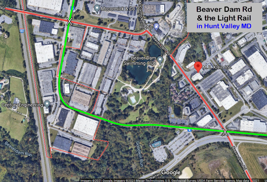
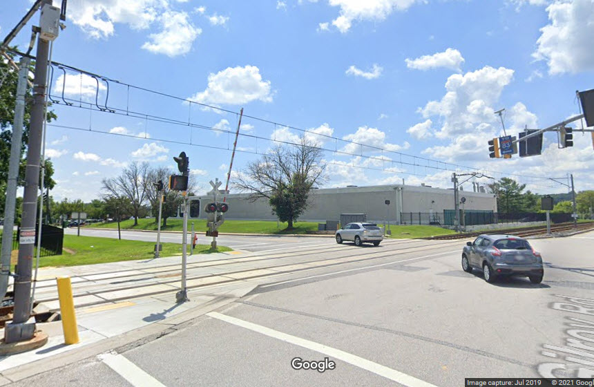
Beaver Dam Rd - Grade Crossing
Beaver Dam Rd runs next to the Gilroy Station. Beaver Dam Road crosses
the light rail twice because of right turn it makes when it meets up with
McCormick Road - this dates back to the original routing of Beaver Dam Road from
the days of yore. MB Klein's is also known as "modeltrainstuff.com",
and up until the beginning of the 2020 covid restrictions, ran a retail store
out of that location after moving out of Baltimore City around 2000 or so.
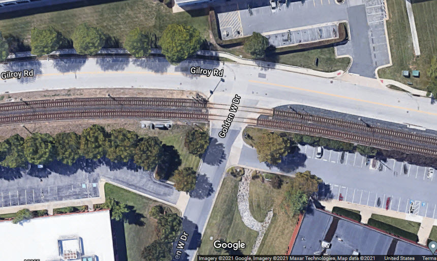
Golden West Dr - Grade Crossing
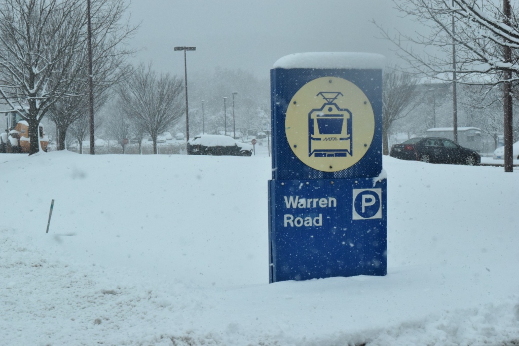
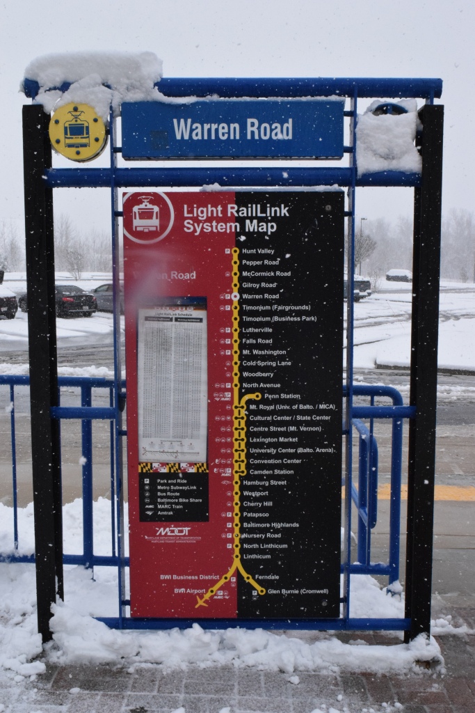
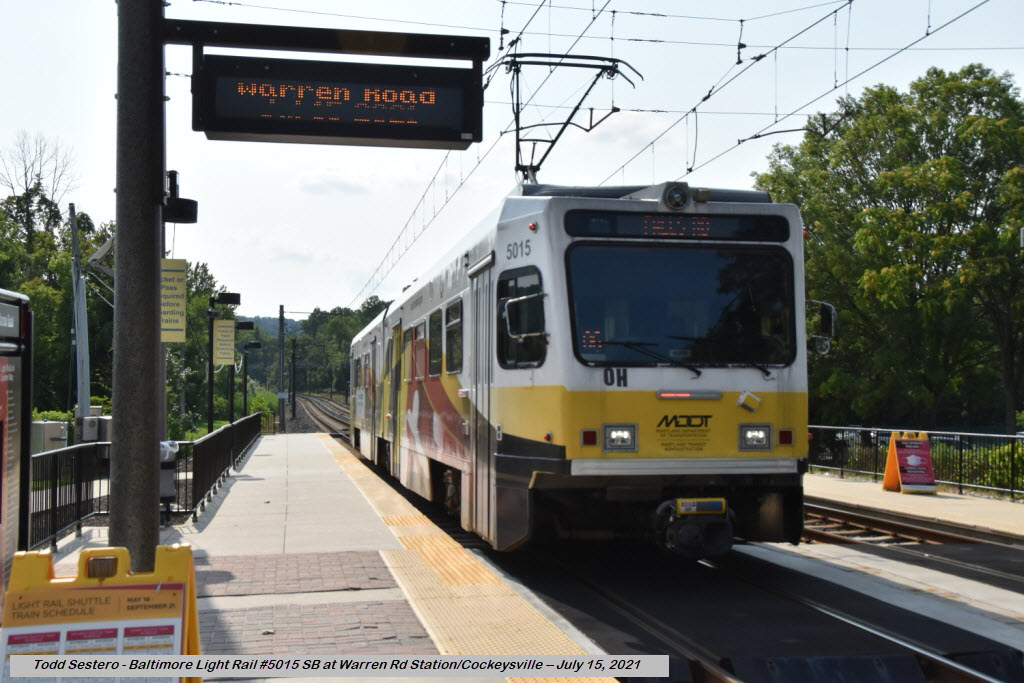
Warren Road Station
GPS Coordinates: 39.475903, -76.653750
Beaver Dam Road - Grade Crossing
The test train checking for catenary alignment before the HV extention opened.
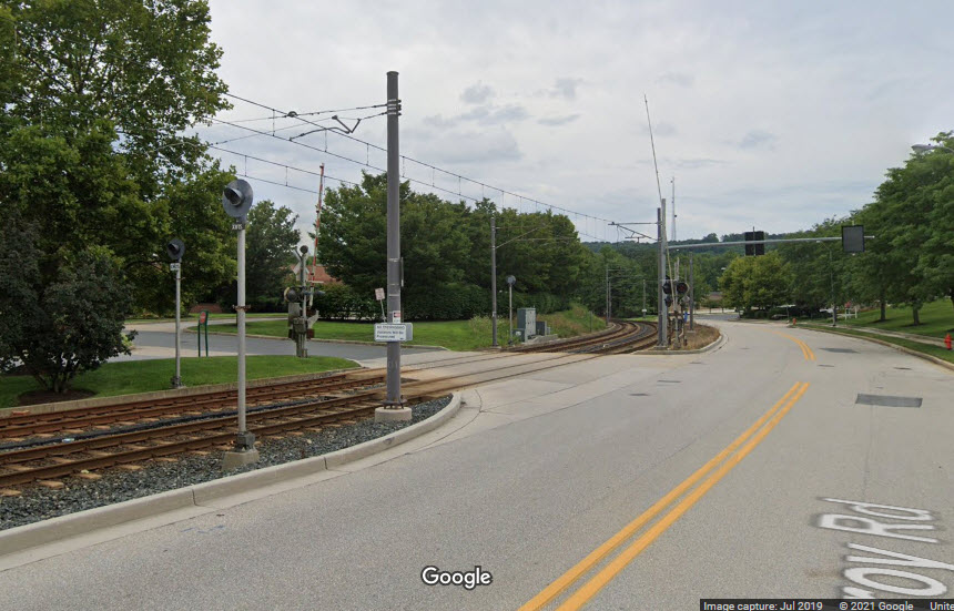
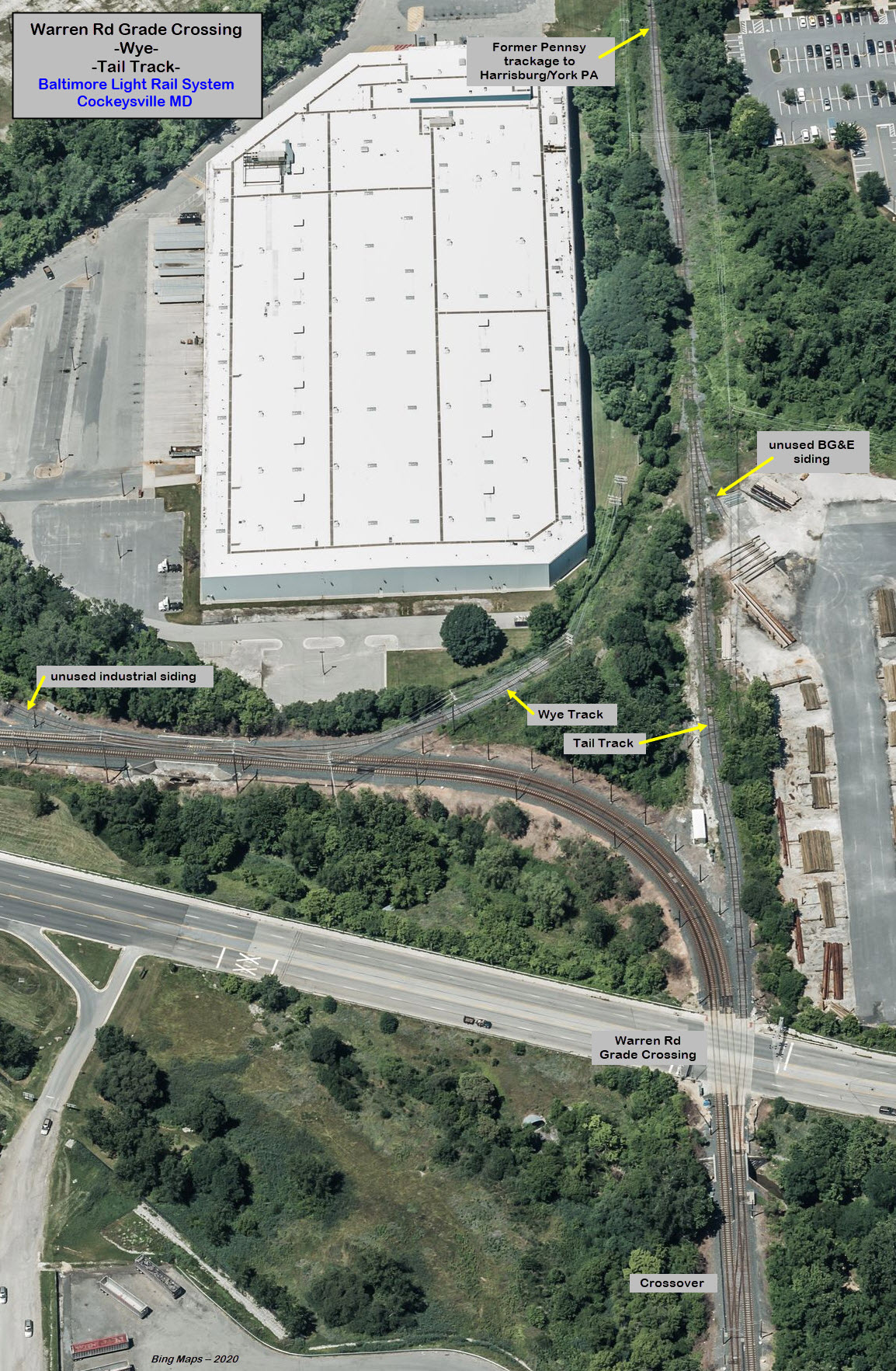
Warren Road - Grade Crossing / Wye / Siding
This is where the light rail system veers off from what used to the Pennsy's
line to York and Harrisburg PA. Hurricane Agnes in 1972 wiped out most of
the track that was at or near the stream that the R-O-W followed, and the
financially strapped Penn Central could not rebuild the line... so we lost an
important part of our railroad history that year!!! :-) The track the line
follows used to be a branch line into the industrial park. There is still
a small tail track here, and up until 2004, NS used it to park their engines and
train for the day, if it got "stuck" up here because there was not enough time
for their train to make it back down to the interchange adjacent to the light
rail shops. The end of 2004 also brought the end of freight service
into Cockeysville, as the double tracking project got started come January 1st
of 2005, and freight service never resumed.
Trains have to slow down here, a lot (10MPH), to take the curve going from the old
Pennsy mainline, to the industrial trackage that served the industrial park, so
there is ample opportunity to get pictures as it takes the curve. I have
parked in the BGE driveway for a short while without anyone ever getting upset
or yelling at me.
Grainy scans of prints of a test train prior to the opening of the HV extension around 1996
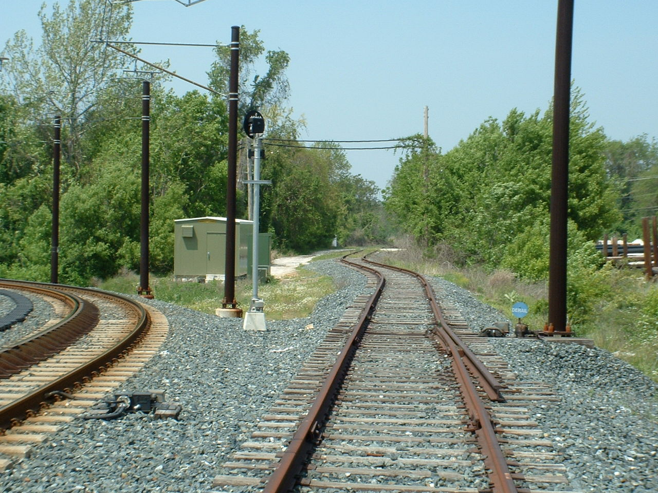
The tail track has a derail in case something is parked on it and gets loose....
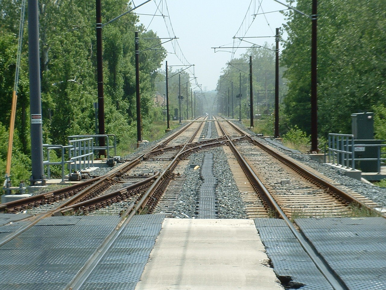
Looking south, we can see the crossover
Passing the Texas Landfill/Transfer Station
Over the years, I've dumped a lot of my stuff in here, which is now sitting
at the bottom of this old landfill. Since probably 1990 or so, it has been
a transfer station and starting in maybe 2000 or so, a recycle sorting station.
I wonder if we could do an archeological dig to see what we can come up with!!!???
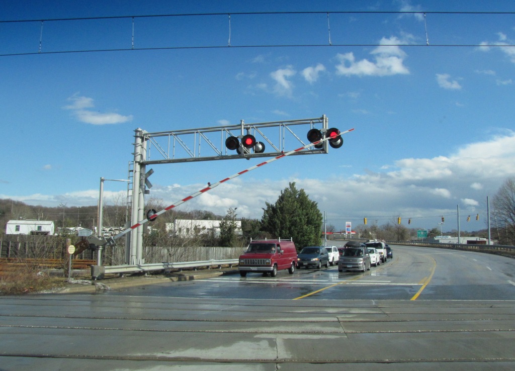
Industry Lane - Grade Crossing
I dunno, in an effort to make this grade crossing as "safe" as possible, it
has become one of the worst to get across in terms of waiting. There are
so many precautions they have programmed into the software, that you can easily
spend 3 or 4 minutes sitting there while everything times out for getting cars
already on the move off the tracks, then waiting for the approaching train to
finally get there and cross... and if another train comes from the other
direction, you might as well set your alarm for snooze :-) :-)
There is a sub-station here.
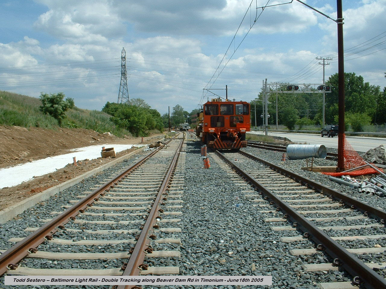
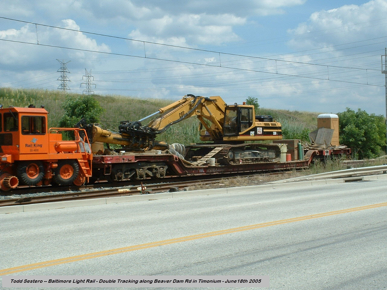
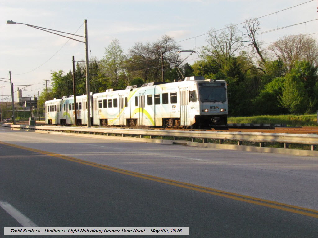
Along Beaver Dam Road
There used to be two grade crossings for sidings into the old Harry T. Campbell
property, both of them are now gone. If you can happen to catch a train
along here, it is a good spot because the tracks are right next to Beaver Dam
Road, although there is no place to park for pictures. If you want
pictures along here, and you don't want to take them out of a speeding car, the
best place to park is probably the 7-11 a walk a little bit.
A couple from back in 2005 when the double tracking was in process.
The siding into the quarry was still in place at the time.
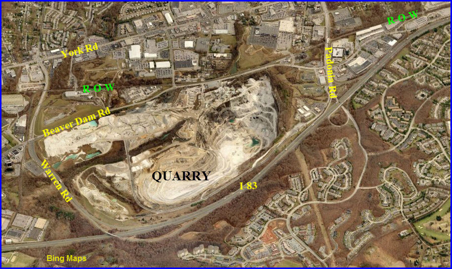
the "Quarry"
The "Texas Quarry" cannot be seen from the
Light Rail, but it is still worth mentioning. When we first moved into
the area back in 1966, it was then owned by Harry T. Campbell.
Campbell's also owned a large tract of land over by Whitemarsh Mall,
where the business' to the east of I-95 are now... someone made a bunch of money!
Anyways, several things came out of this quarry that make it worth mentioning:
One - the marble used to build the Washington Monument in Washington DC came from here,
and years ago when they fixed up the monument, they came back here for matching marble.
Two - the white dust used on gum, I believe it is Calcium Carbonate, is mined from the hole,
Three - The marble used for the first
stringers/sleepers of the Baltimore & Susquehanna RR came
from here, not much of a surprise since the quarry and tracks are right next to each other.
Back in the very early 70's, Campbell's had a family day, and I made sure I got there for a
tour as my first wife's father was a dozer operator in the pit! :-) Very cool hole!
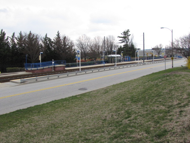
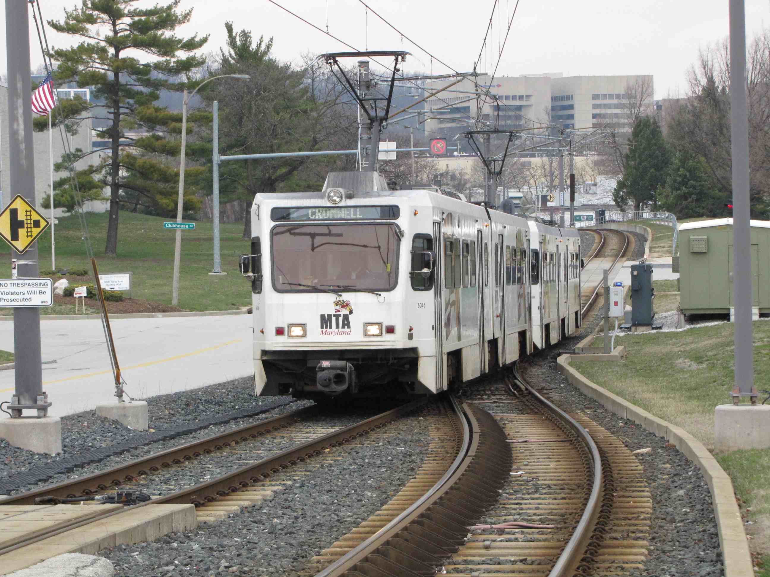
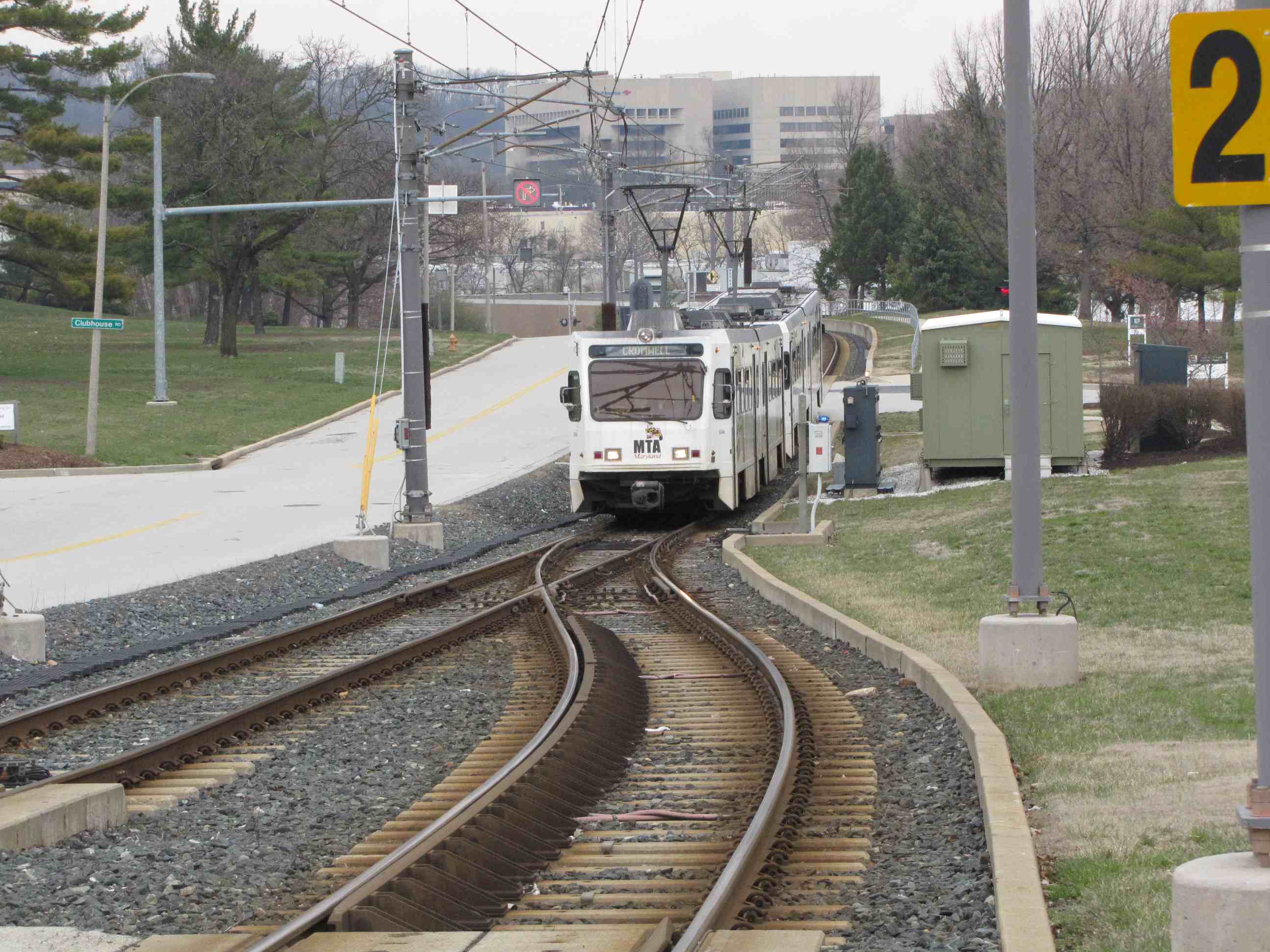
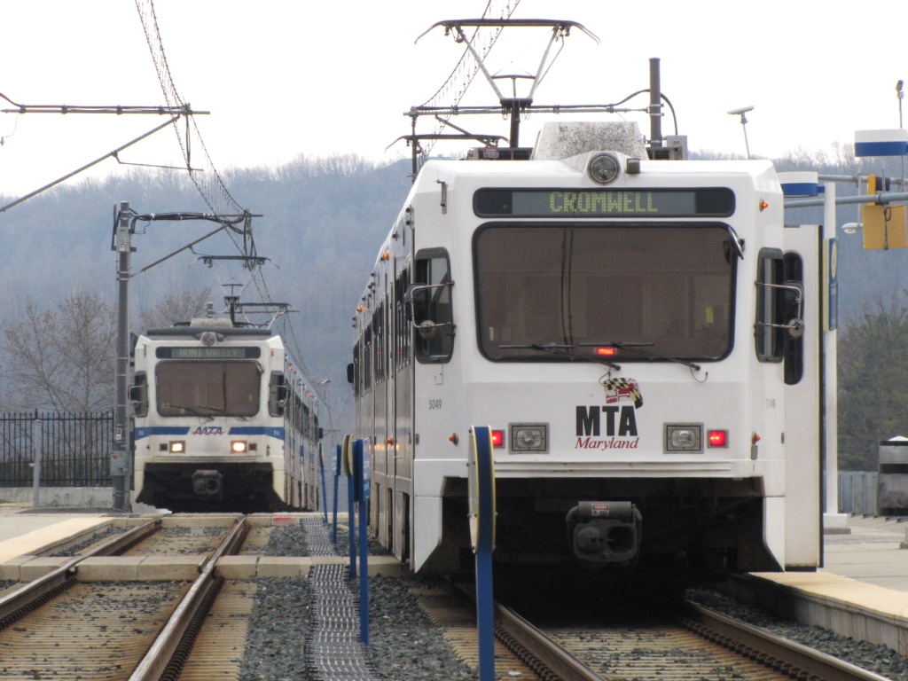
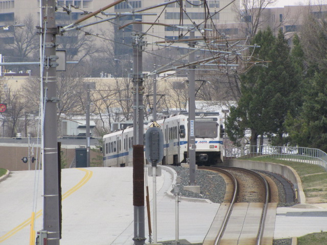
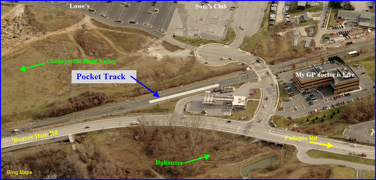
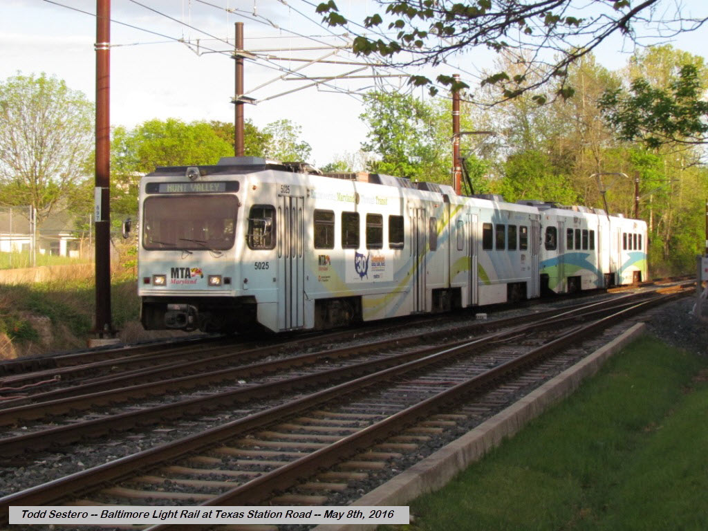
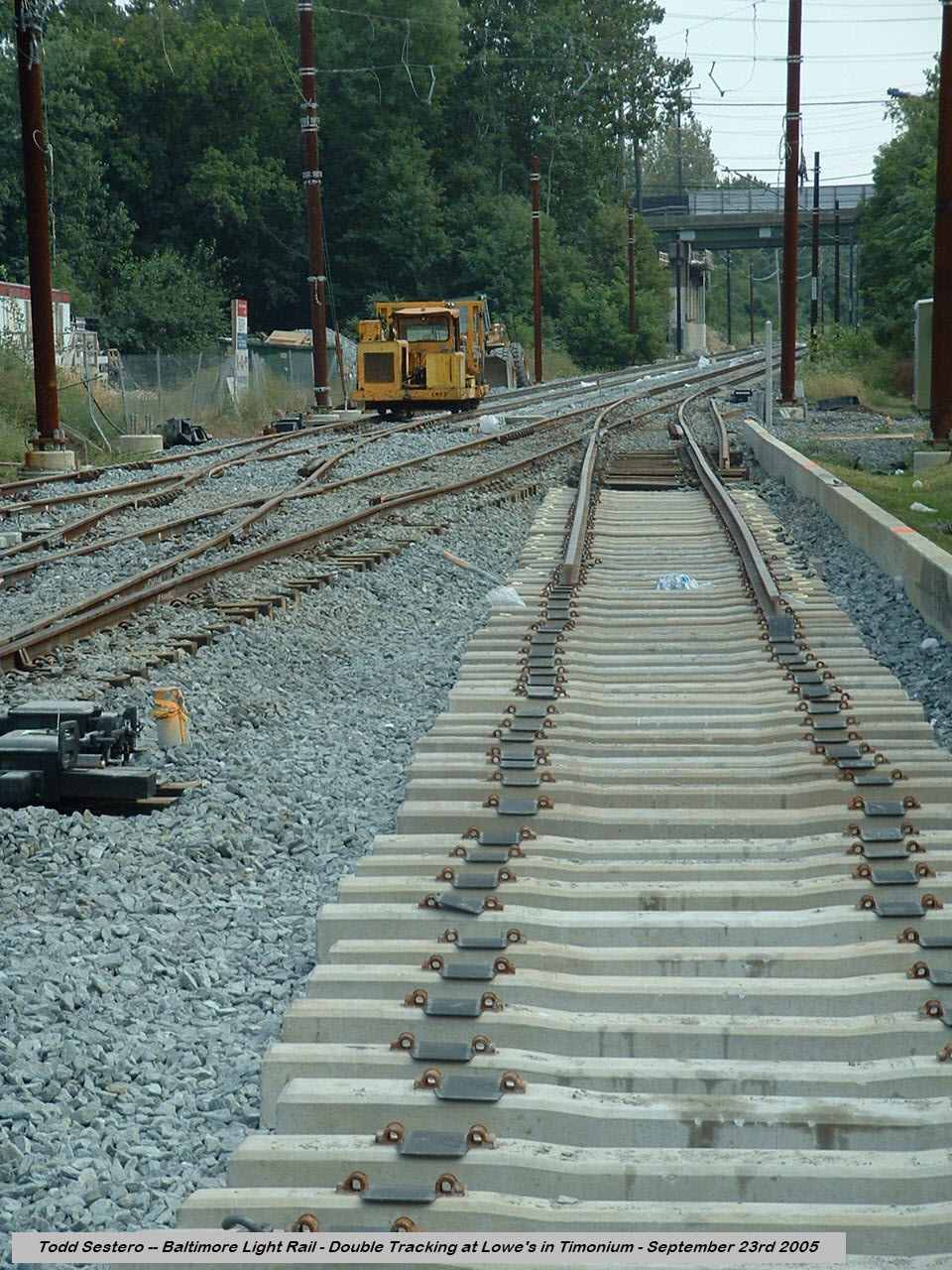
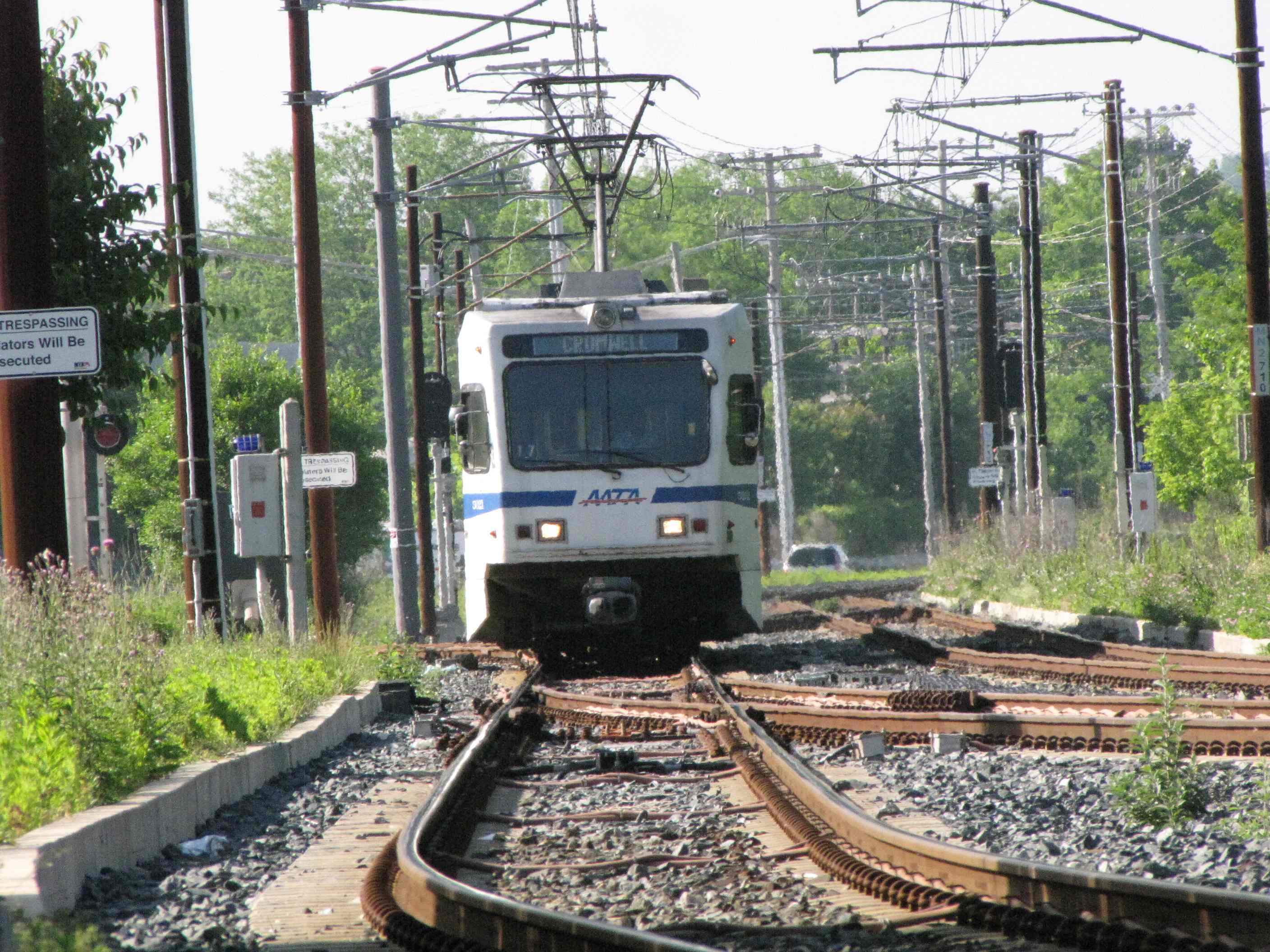
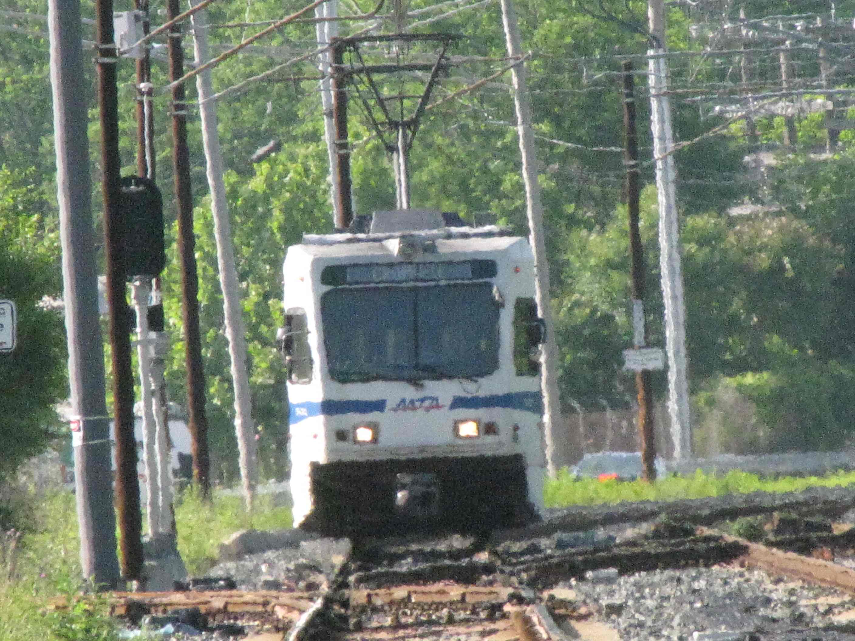
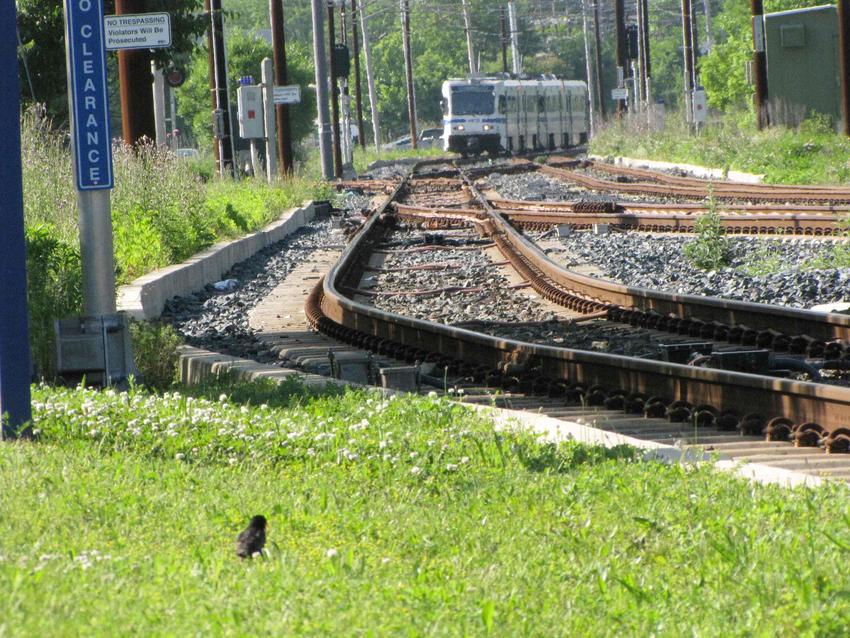
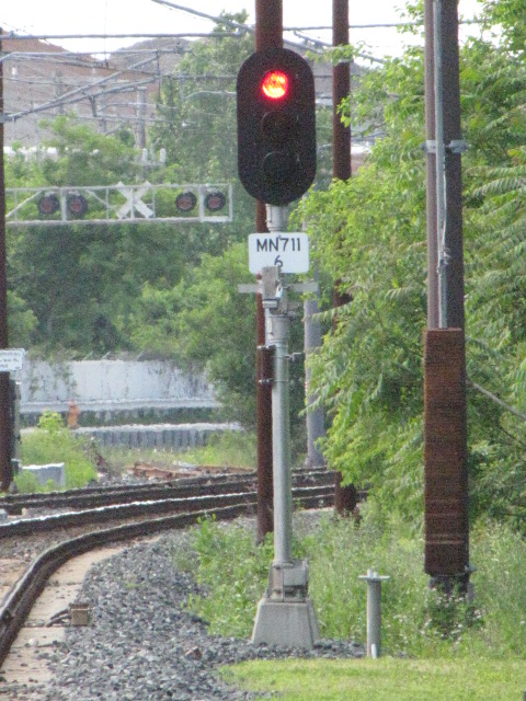
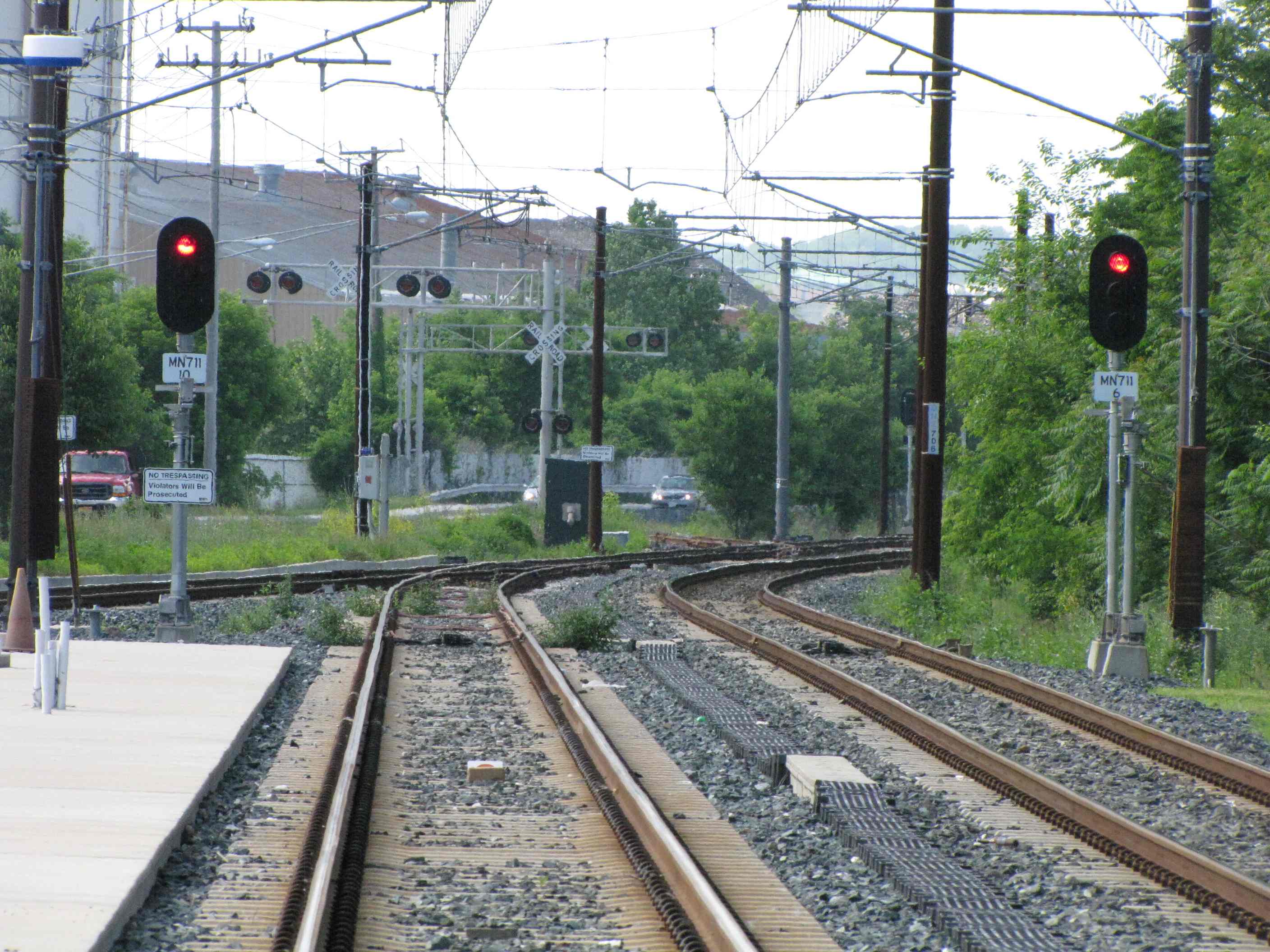
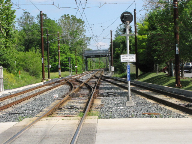
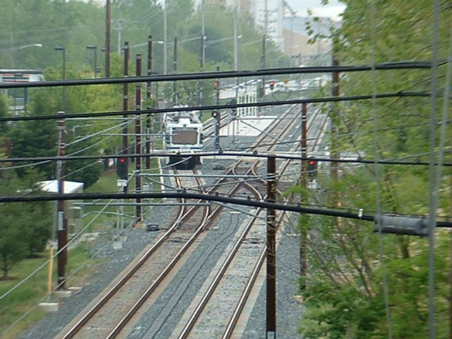
At Timonium Station Road / the "Timonium Turn-Around"
GPS Coordinates: 39.458676, -76.641066
At Timonium Station Rd, we have a Pocket Track by Lowe's and Sam's Club. It's kind of misnamed,
because this "spot" so far is not a station, it is used as a turn-around point for
the BWI trains since they do not go all the way to Hunt Valley. I have
never gotten a good answer as to why the MTA installed a full station like
platform here, because typically, they do not go out of their way to provide
operators with something this fancy. Maybe someday, they will turn it into
a station, and if they do, this would be one of the very few times the MTA
"thought ahead".
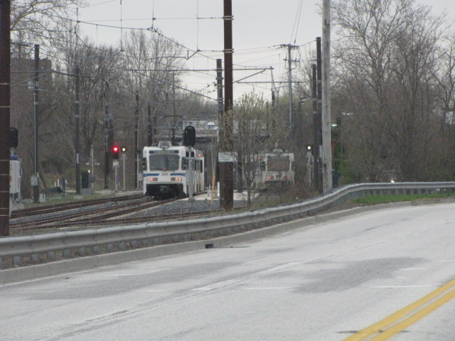
NB train
SB train
NB trains passing the pocket track.
NB going into the pocket track.
In the pocket track.
SB trains passing the pocket track.
Picture from the adjacent medical building and my doctors
office, they think I'm nuts when I show up for an exam with my camera :-)
Signals and signs.
More signals and signs.
Ductwork used for running the cables in, instead of running them overhead and/or on poles.
From Padonia Road
All three from 2007.
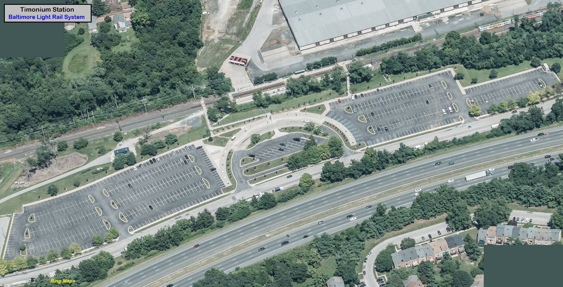
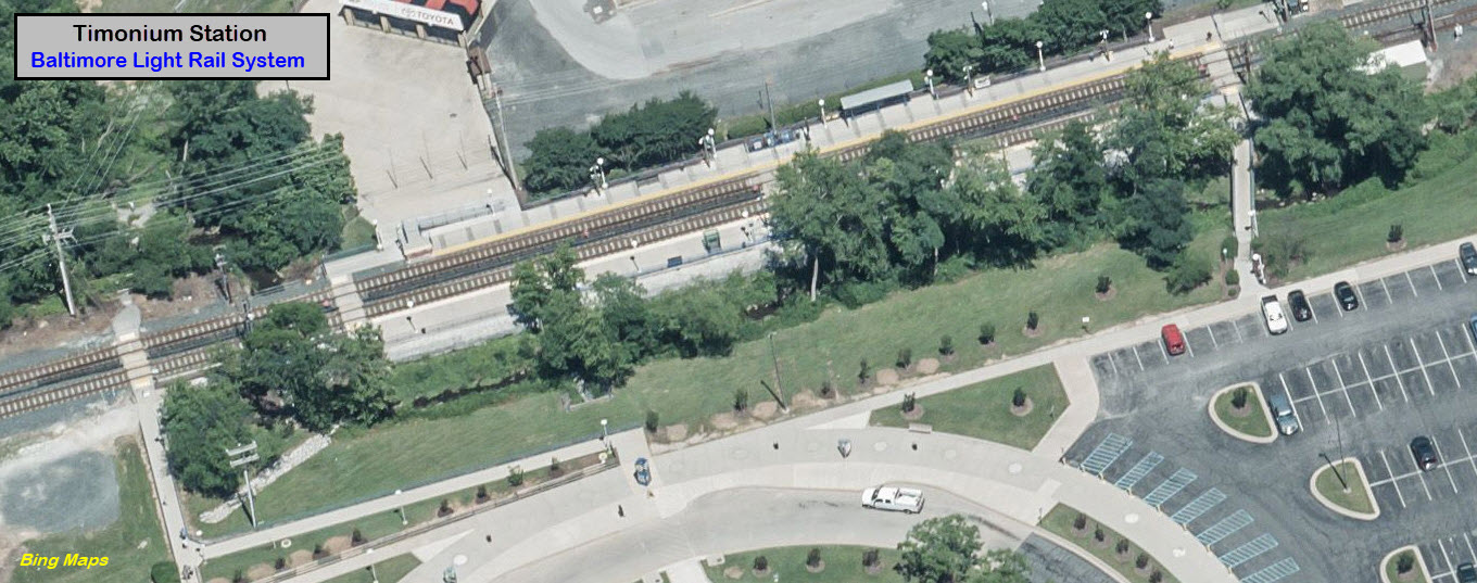
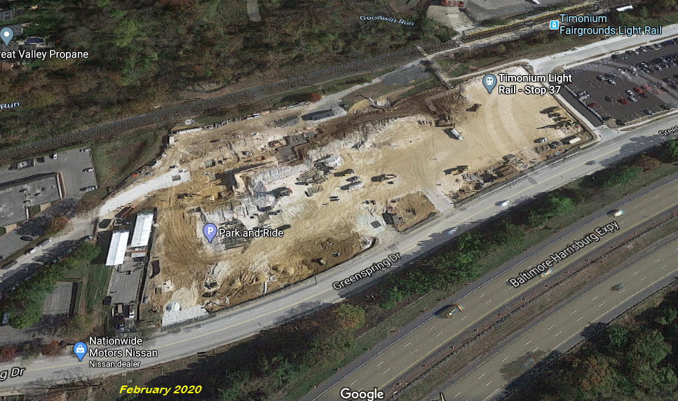
Timonium Station
GPS Coordinates: 39.448547, -76.634921
The two parking areas on the left were sold off by the MTA, and in early 2020, construction was started on several buildings.
When the light rail system originally opened, this was the northernmost station,
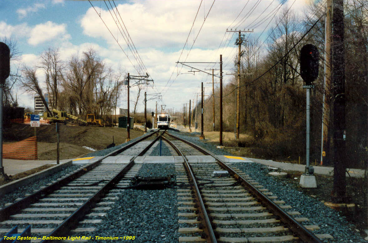
and had a spring switch leading into a tail track for the turn-around..
Before the extension to Hunt Valley was opened.
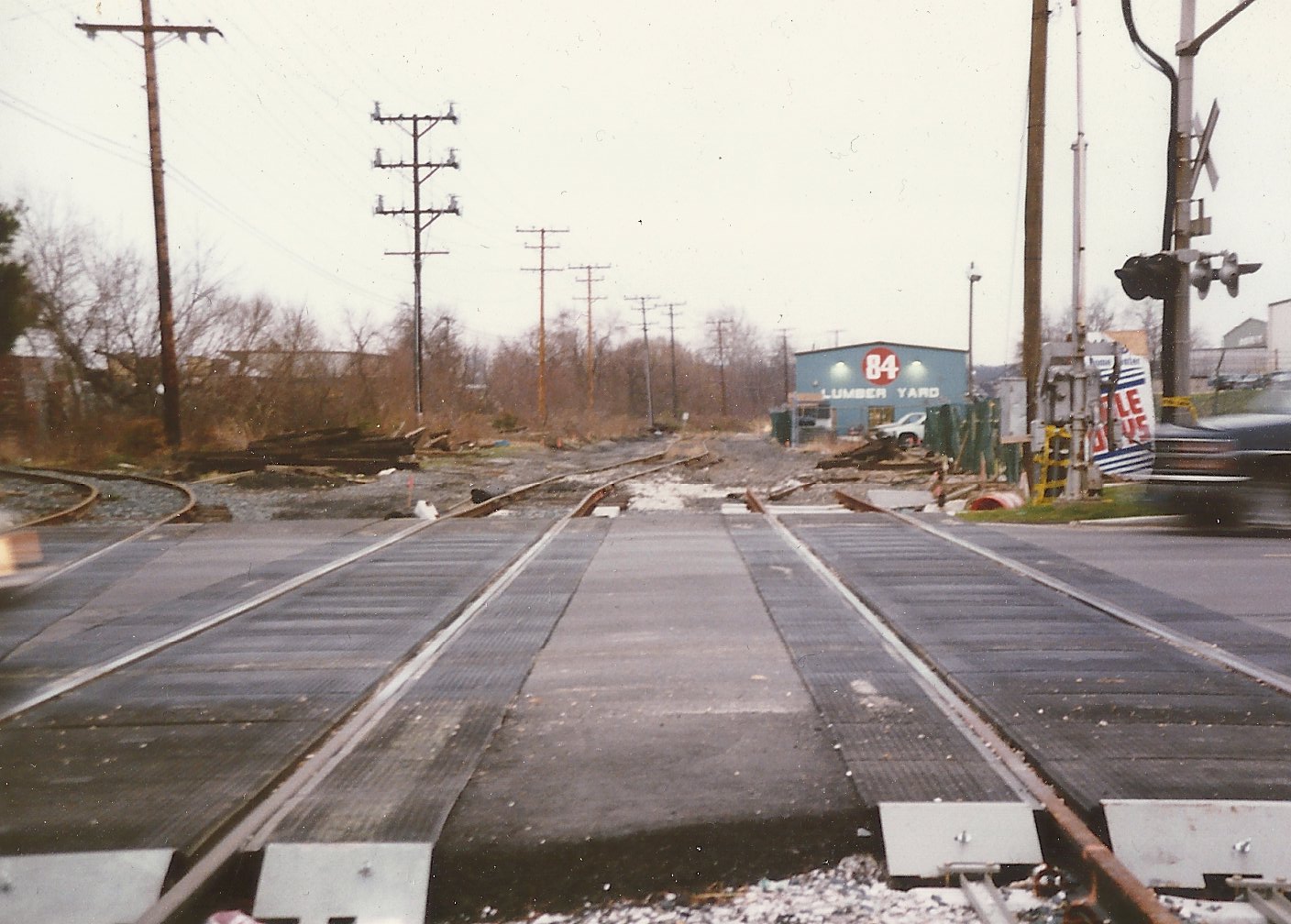
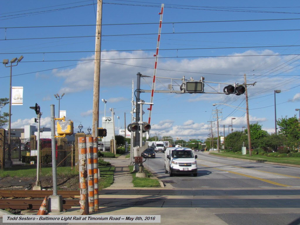
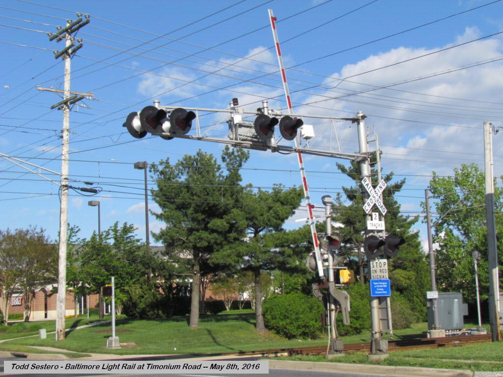
Timonium Road - Grade Crossing / former sidings
Around 1990, when the original construction of the light rail line was taking place.
The siding off to the left was for Saco Lumber, which moved up to Cockeysville shortly after. 84 Lumber is still there.
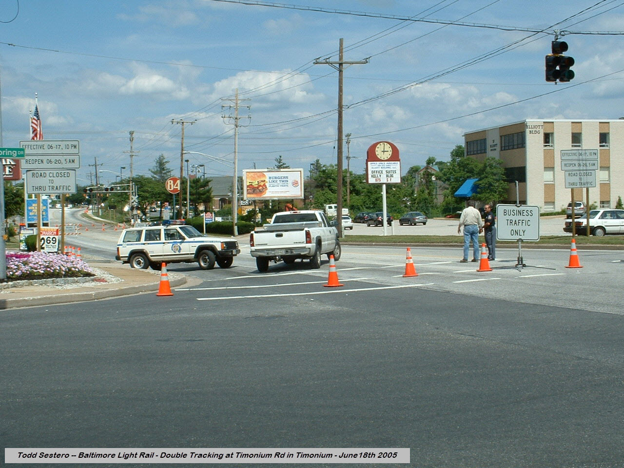
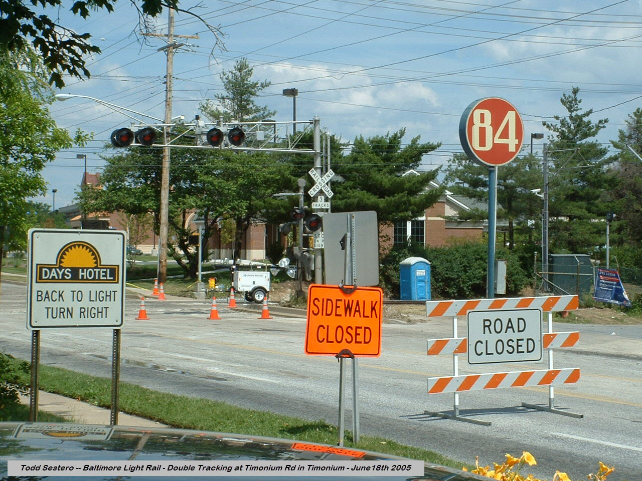
The crossing was again closed in 2005 for the double tracking project, dunno why, they already had 2 tracks at the crossing....
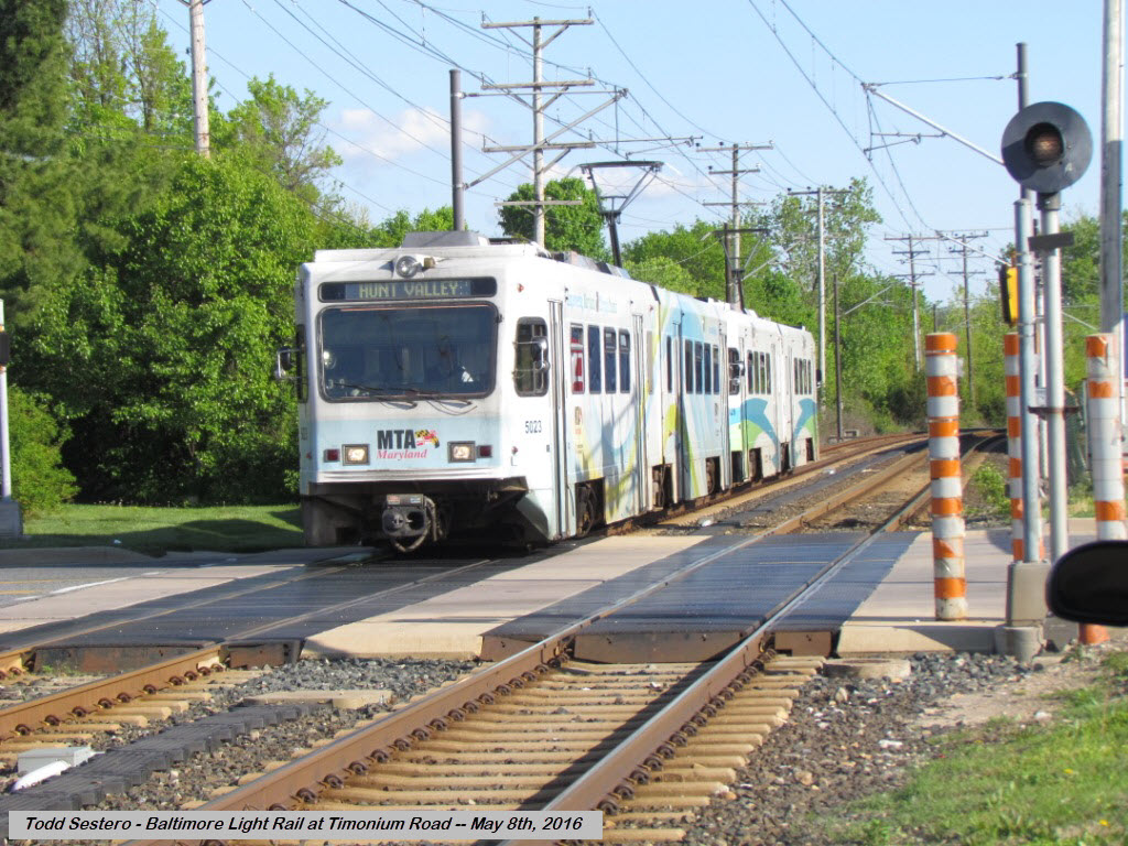
NB train at Timonium Road
NB train from the "other" side of the grade crossing
NB train at Timonium Road
SB train at Timonium Road
So, looking north from Timonium Road, if we look at the catenary, it wiggles back and forth.... why???
Unlike a streetcar that uses a wheel to ride on the wire, modern cars use a
pantograph, which uses a graphite shoe. If the catenary wire sat in one
place over that shoe, it would quickly put a grove in the surface, which could
catch the wire, and rip the shoe and/or pantograph off the car.
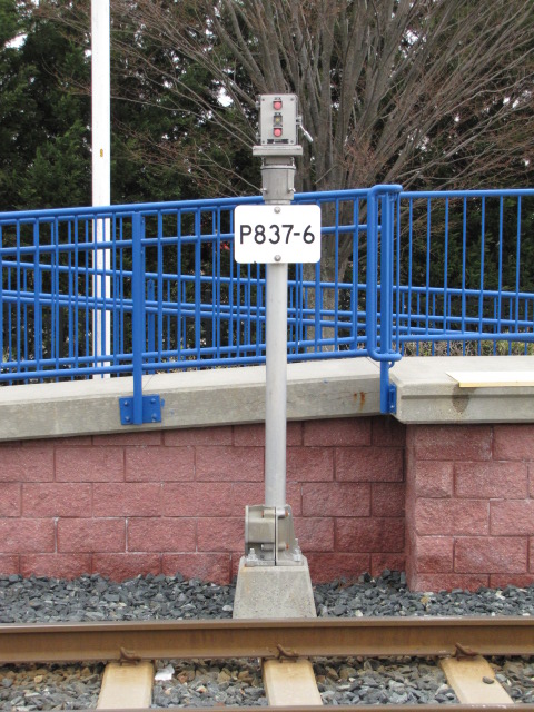
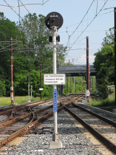
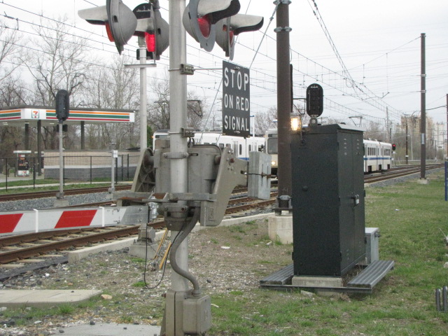
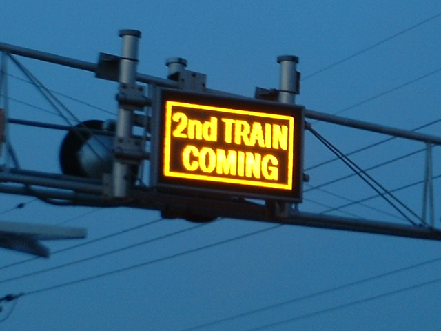
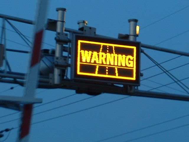
At Timonium Road, there is a unique electronic sign, that is only found here.
If the track circuits detect a train on both tracks, it turns this sign on, to
warn traffic that two trains are coming (so hopefully no-one will drive around
the gates while they are waiting for the second train). The signs were
designed back in 1995 while
I worked there, and I am surprised they are still in operation!
More info and pictures here.
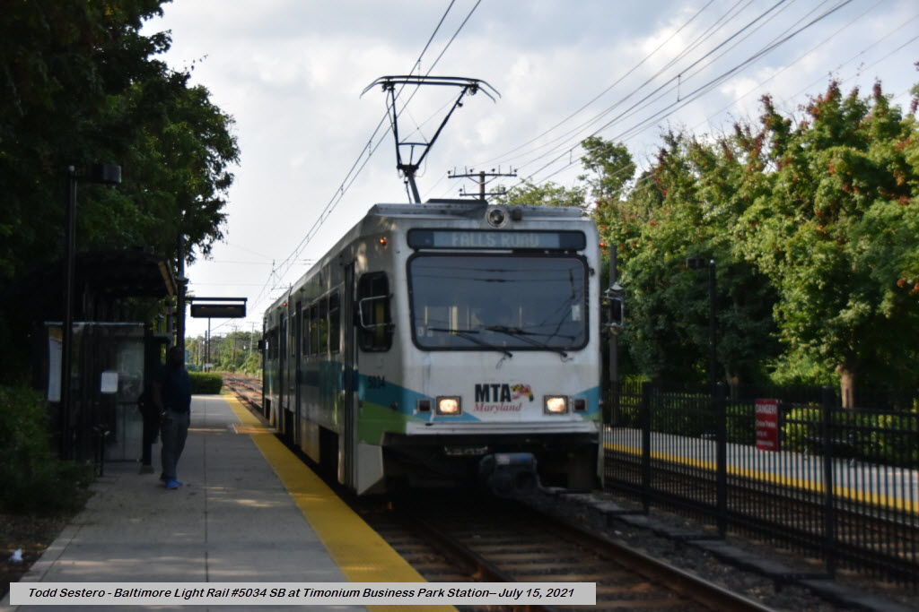
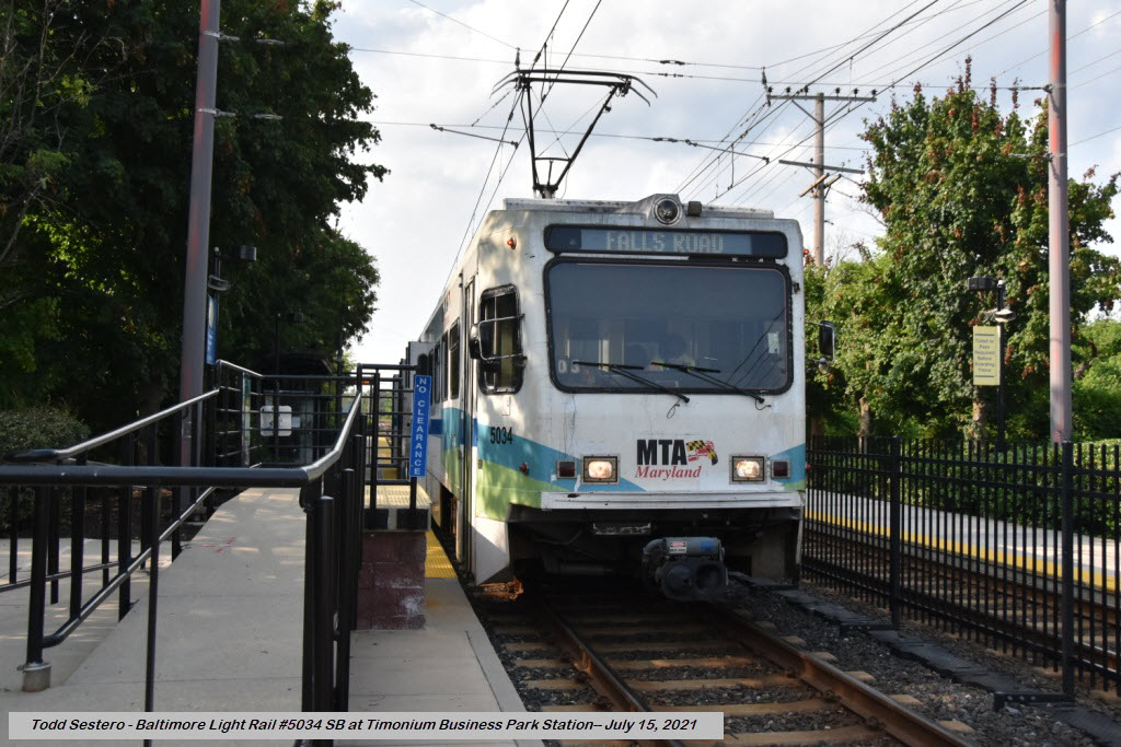
Timonium Business Park Station
GPS Coordinates: 39.433615, -76.628260
Not a very busy station most of the time.
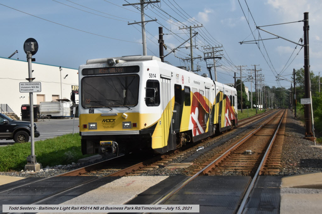
Business Park Road - grade crossing
In the distance, is the Lutherville Station - these are two of the closest stations on the line,
being only 1500 feet apart.
From here, pictures of southbound trains are in the station as seen above.
There are a couple of good places to eat nearby, one of them is just a hundred feet from the station, the Bluestone.
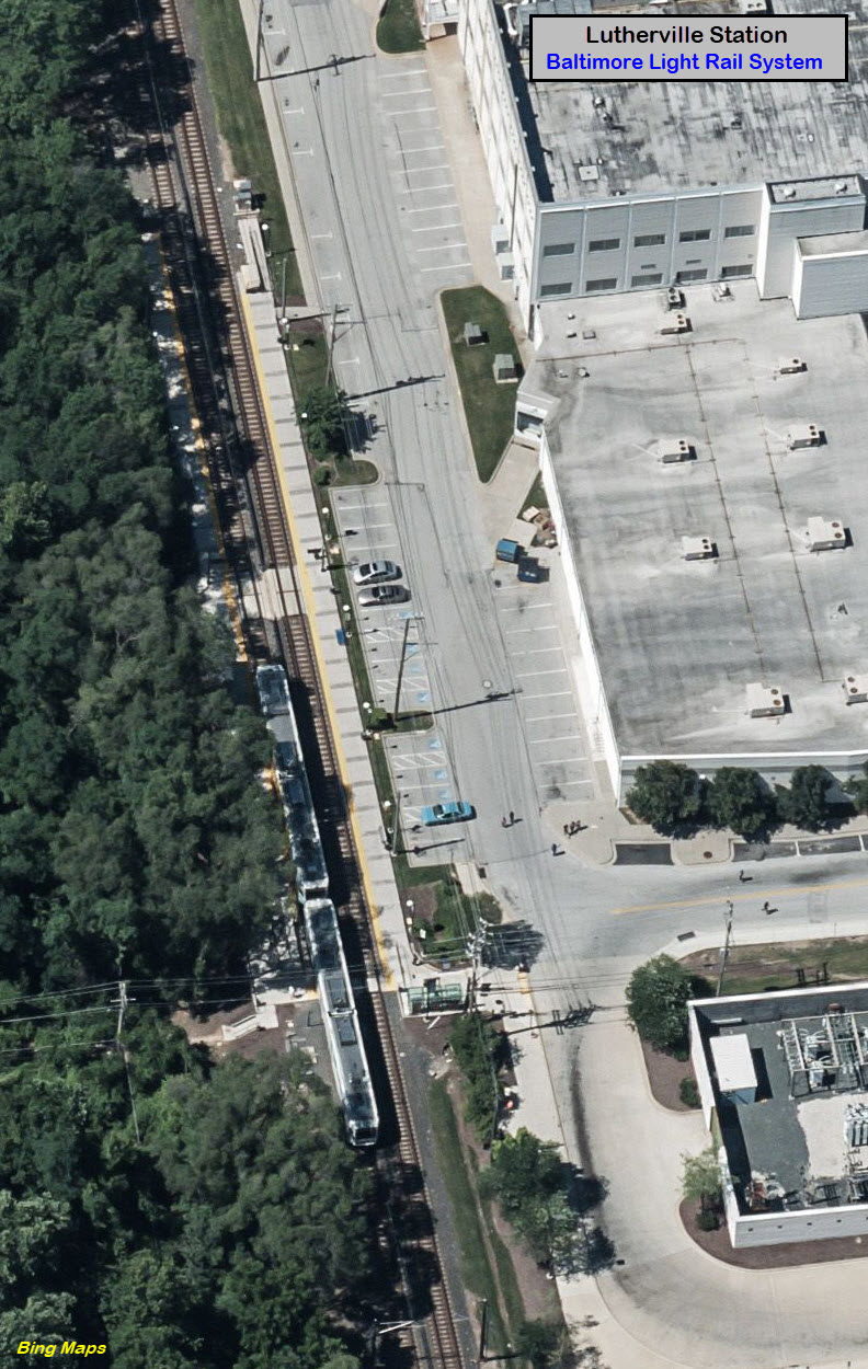
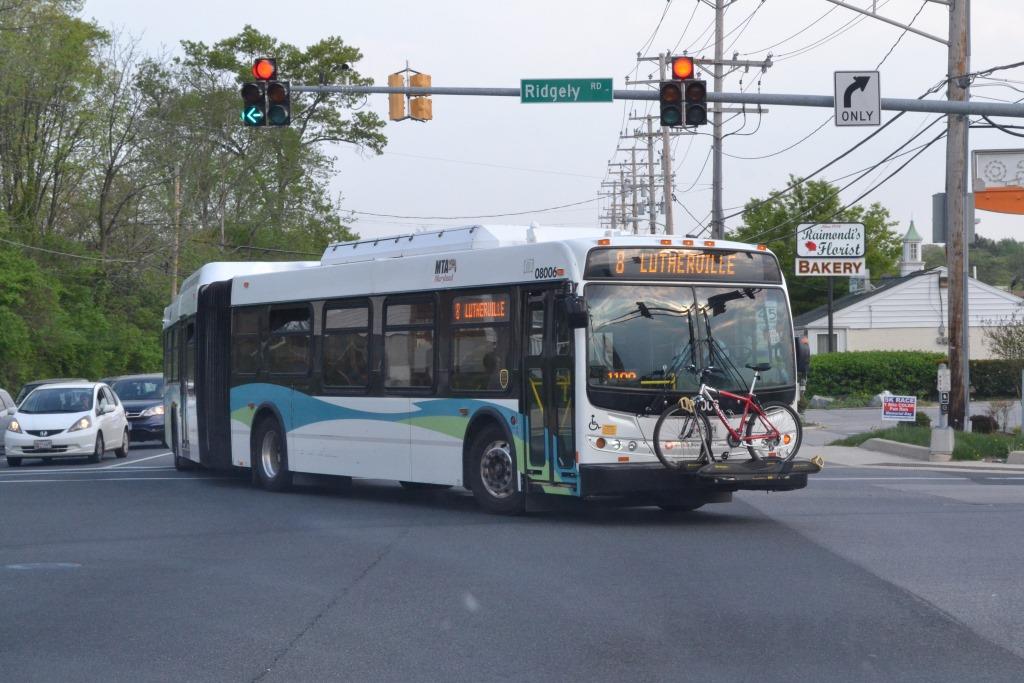
Lutherville Station
GPS Coordinates: 39.428849, -76.627035
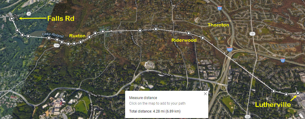
From here, south to the Falls Road station, is the longest uninterrupted "run"
on the system, about 4.3 miles.
Coming from the Lutherville station at Ridgely Rd, and heading into station.
Disclaimers:
I love trains, and I love signals. I am not an expert. My webpages reflect what I find on the topic of the page. This is something I have fun with while
trying to help others.
Please Note: Since the main focus of my two websites is railroad signals, the railfan guides are oriented towards the signal fan being able to locate them.
For those of you into the modeling aspect of our hobby, my indexa page has a list of almost everything railroad oriented
I can think of to provide you with at least a few pictures to help you detail your pike.
If this is a railfan page, every effort has been made to make sure that the information contained on this map and in this railfan guide is correct. Once in a while,
an error may creep in :-)
My philosophy: Pictures and maps are worth a thousand words, especially for railfanning. Text descriptions only get you so far, especially if you get lost or
disoriented. Take along good maps.... a GPS is OK to get somewhere, but maps are still better if you get lost! I belong to AAA, which allows you to get
local maps for free when you visit the local branches. ADC puts out a nice series of county maps for the Washington DC area, but their state maps do not have the
railroads on them. If you can find em, I like the National Geographic map book of the U.S..... good, clear, and concise graphics, and they do a really good job
of showing you where tourist type attractions are, although they too lack the railroads. Other notes about specific areas will show up on that page if known.
Aerial shots were taken from either Google or Bing Maps as noted. Screen captures are made
with Snagit, a Techsmith product... a great tool if you have never used it!
By the way, floobydust is a term I picked up 30-40 years ago from a National Semiconductor data book, and means miscellaneous
and/or other stuff.
Pictures and additional information is always needed if anyone feels inclined to take 'em, send 'em, and share 'em, or if you have something to add or correct.... credit
is always given! Please be NICE!!! Contact info is here
Beware: If used as a source, ANYTHING from Wikipedia must be treated as being possibly being inaccurate, wrong, or not true.


 Coming up from Shawan Rd


 NB train at the McCormick station.

 A SB train coming into Gilroy
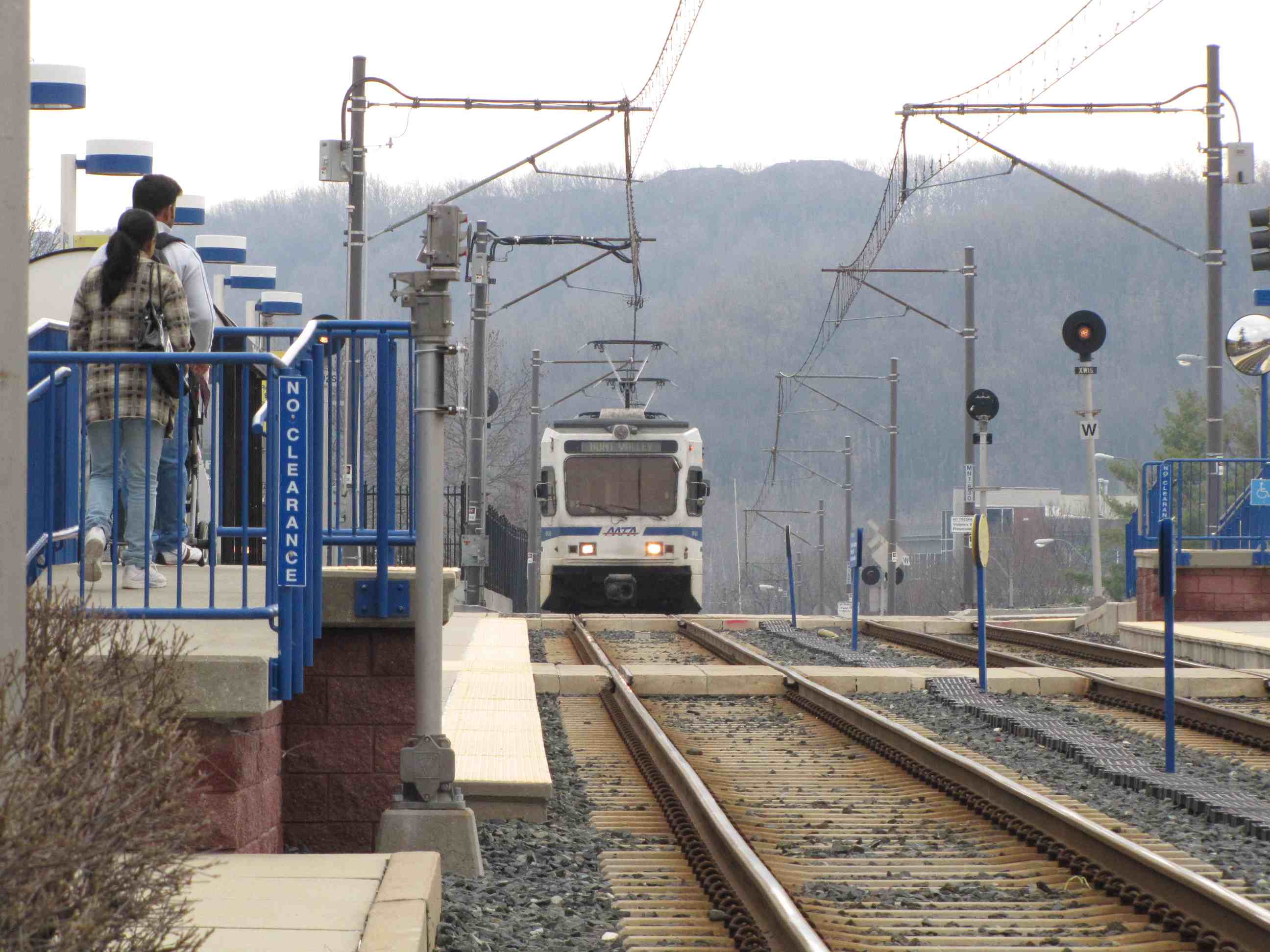


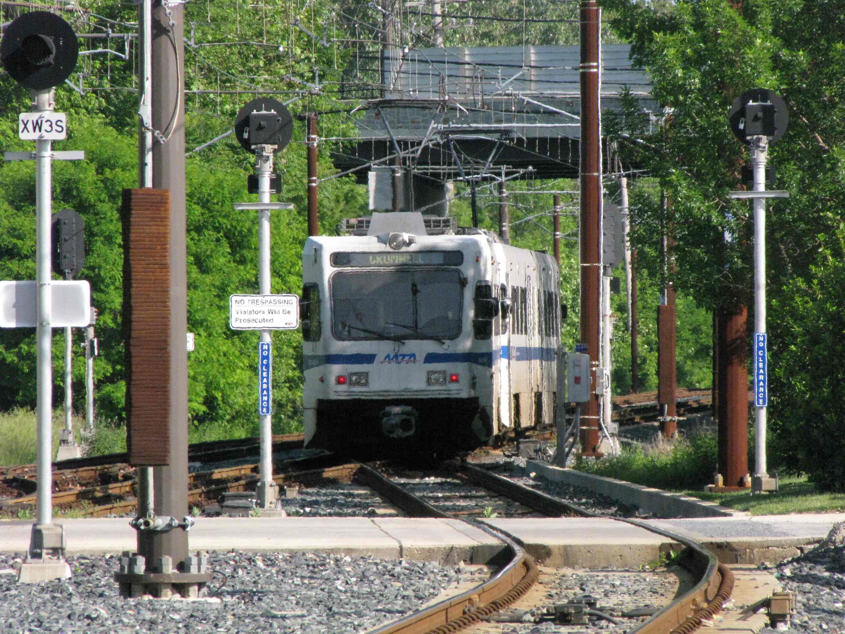
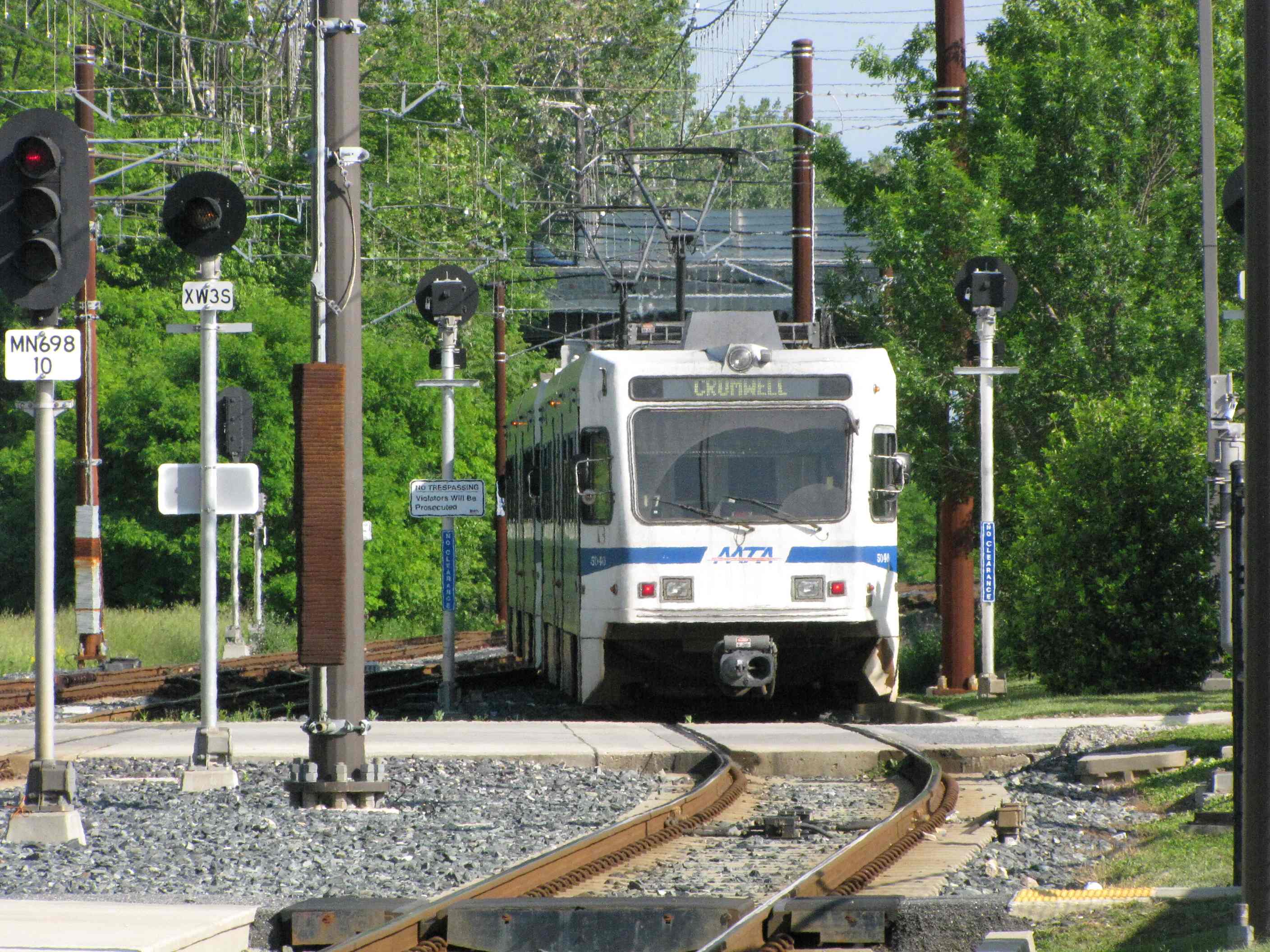
 A NB train coming into Gilroy and then heading to HV
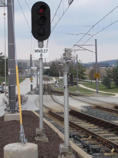


 NB train
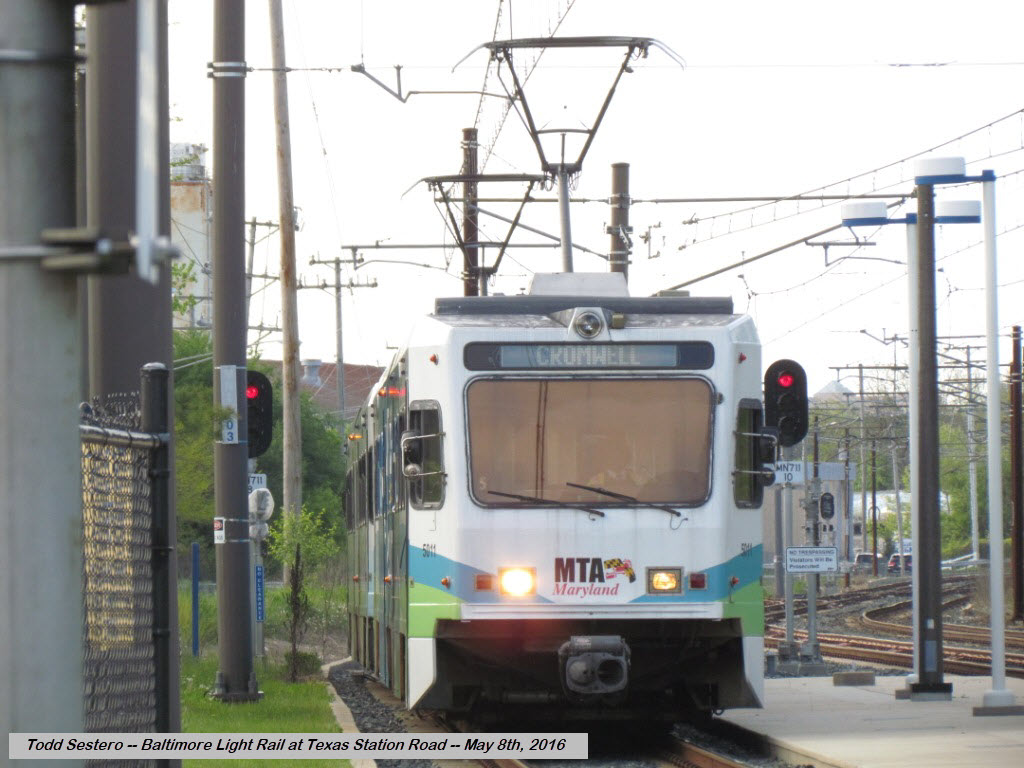 SB train
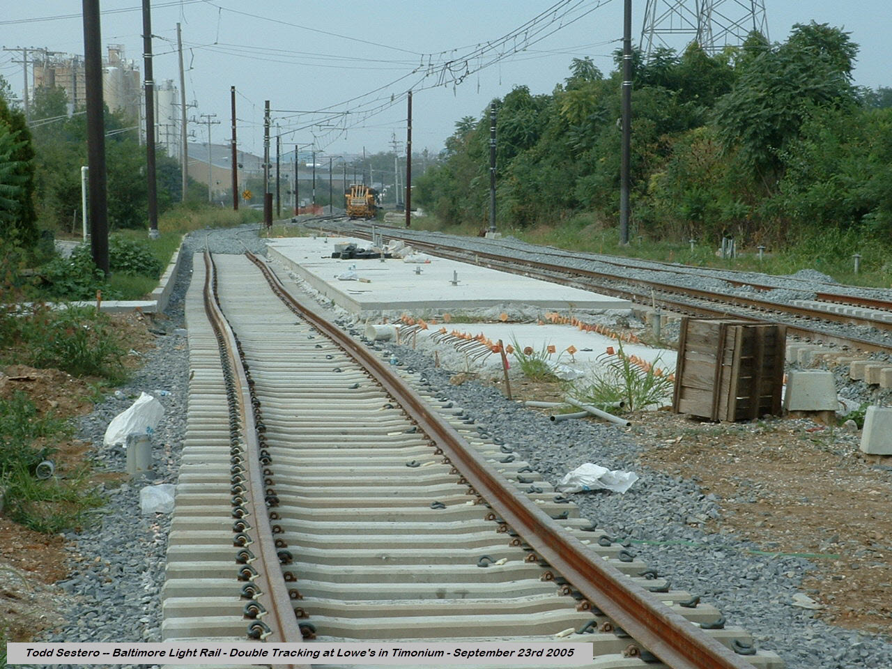


 NB trains passing the pocket track.

 NB going into the pocket track.
 In the pocket track.
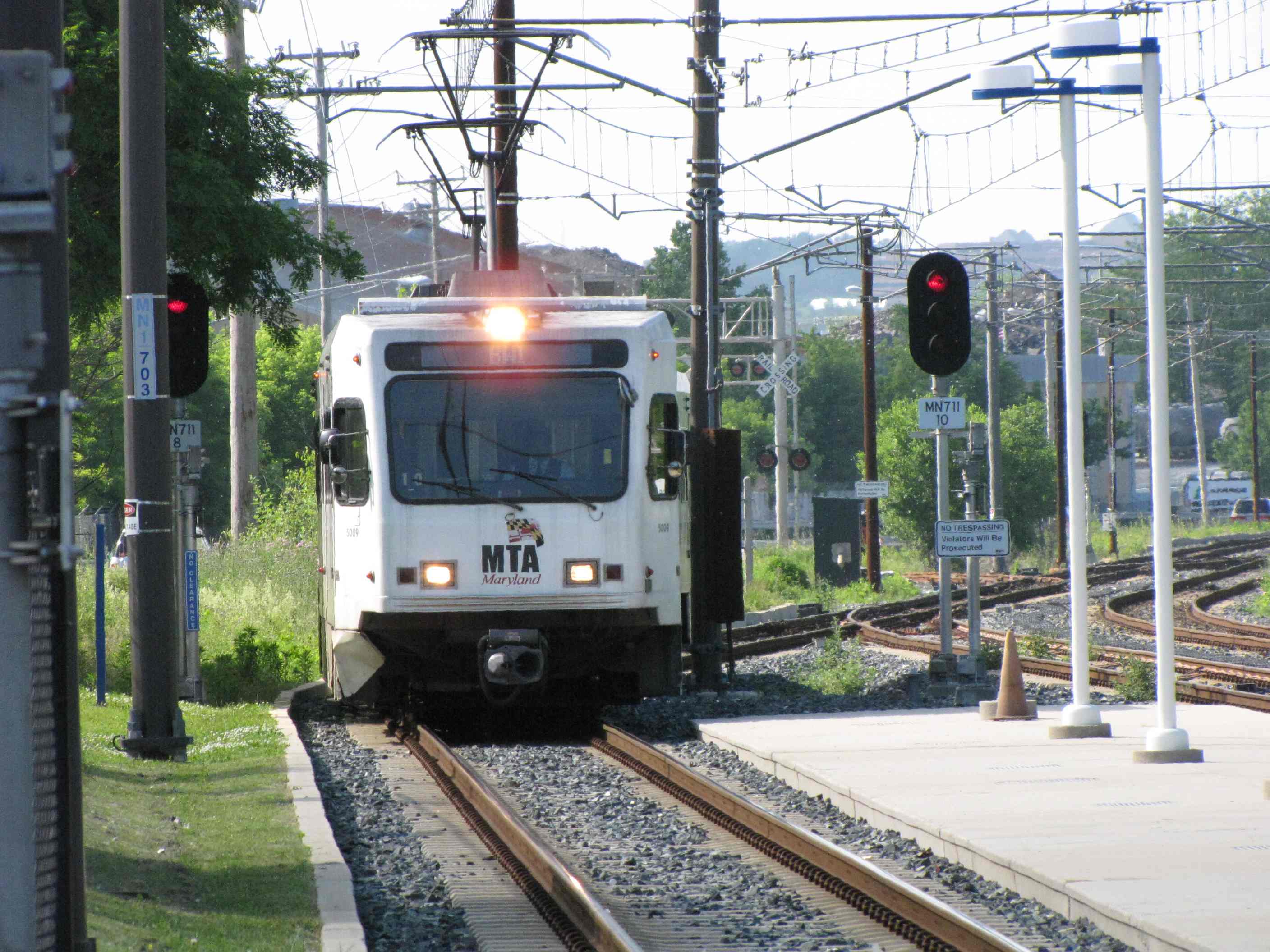


 SB trains passing the pocket track.
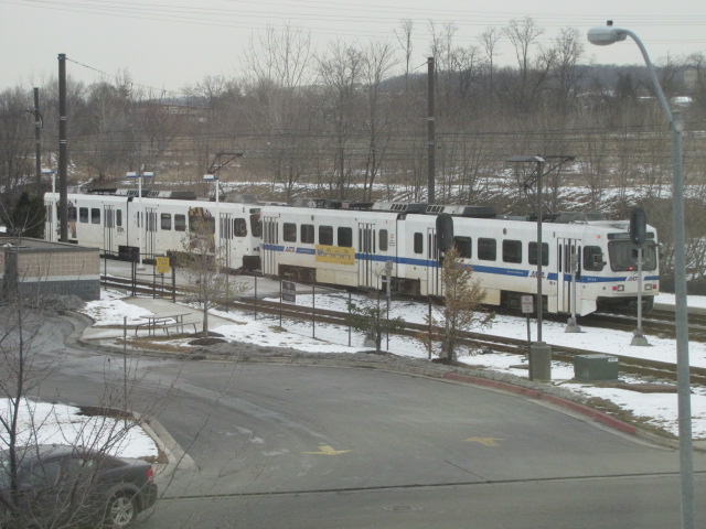 Picture from the adjacent medical building and my doctors
office, they think I'm nuts when I show up for an exam with my camera :-)
Picture from the adjacent medical building and my doctors
office, they think I'm nuts when I show up for an exam with my camera :-)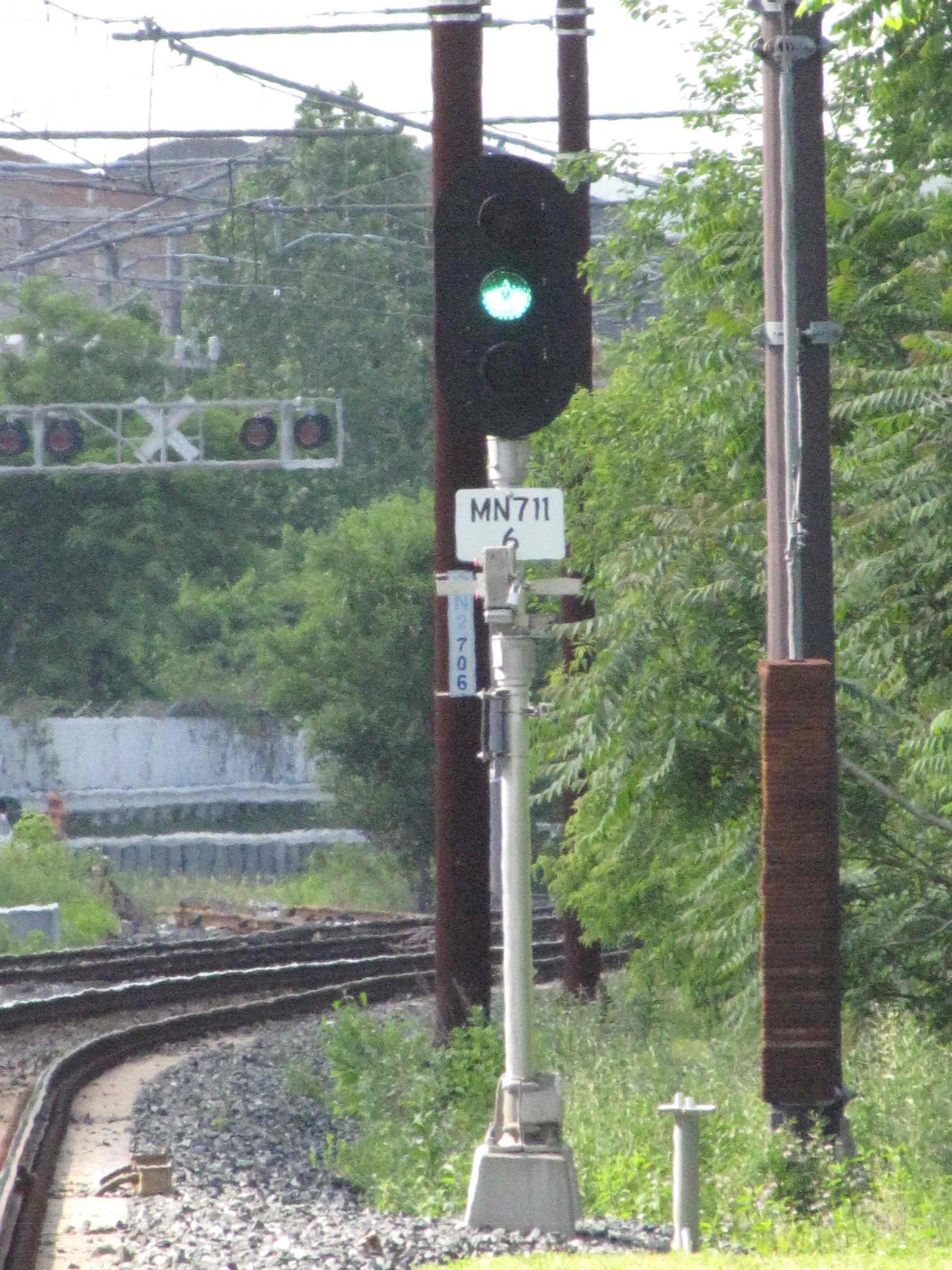

 Signals and signs.
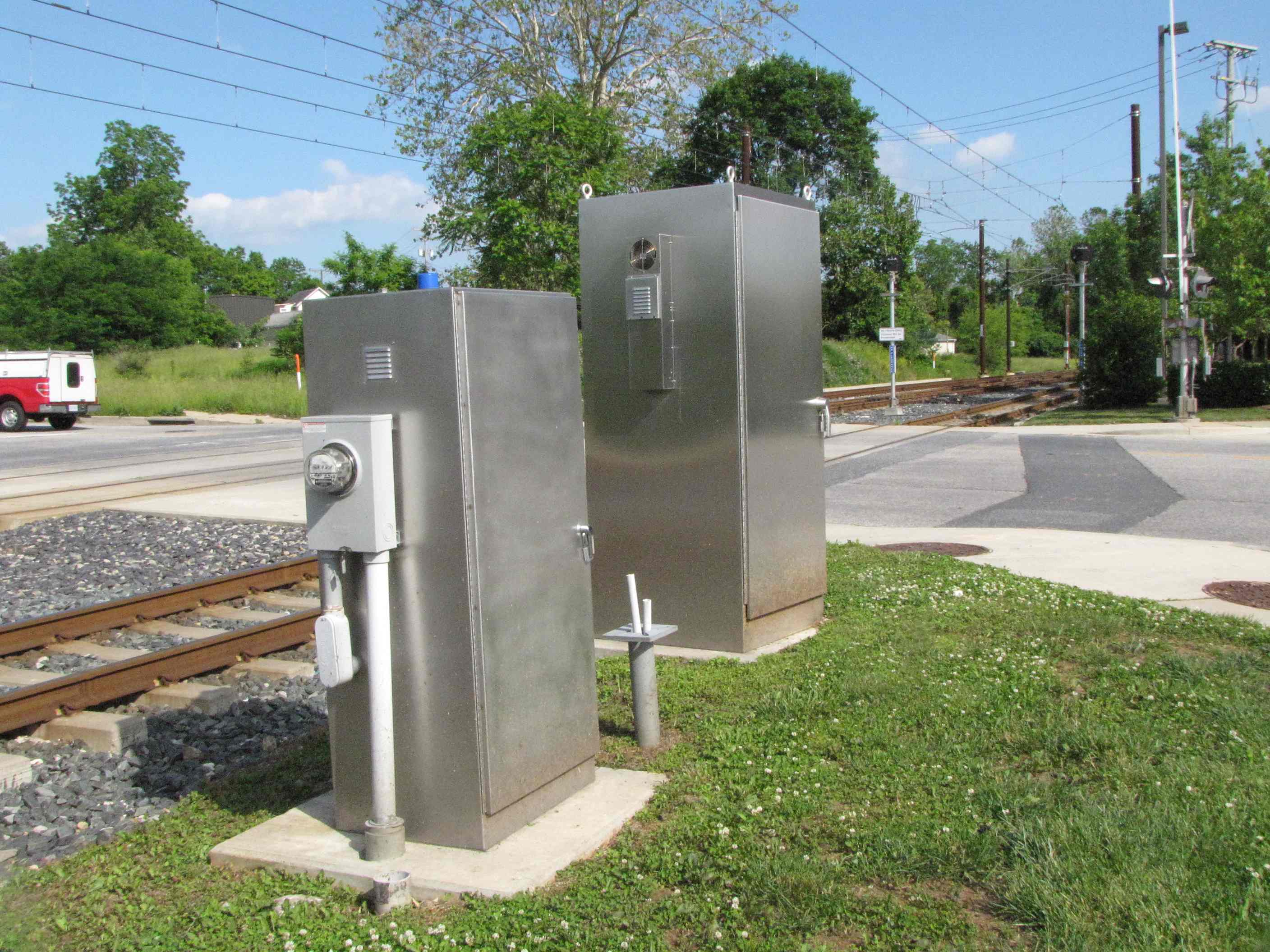


 More signals and signs.
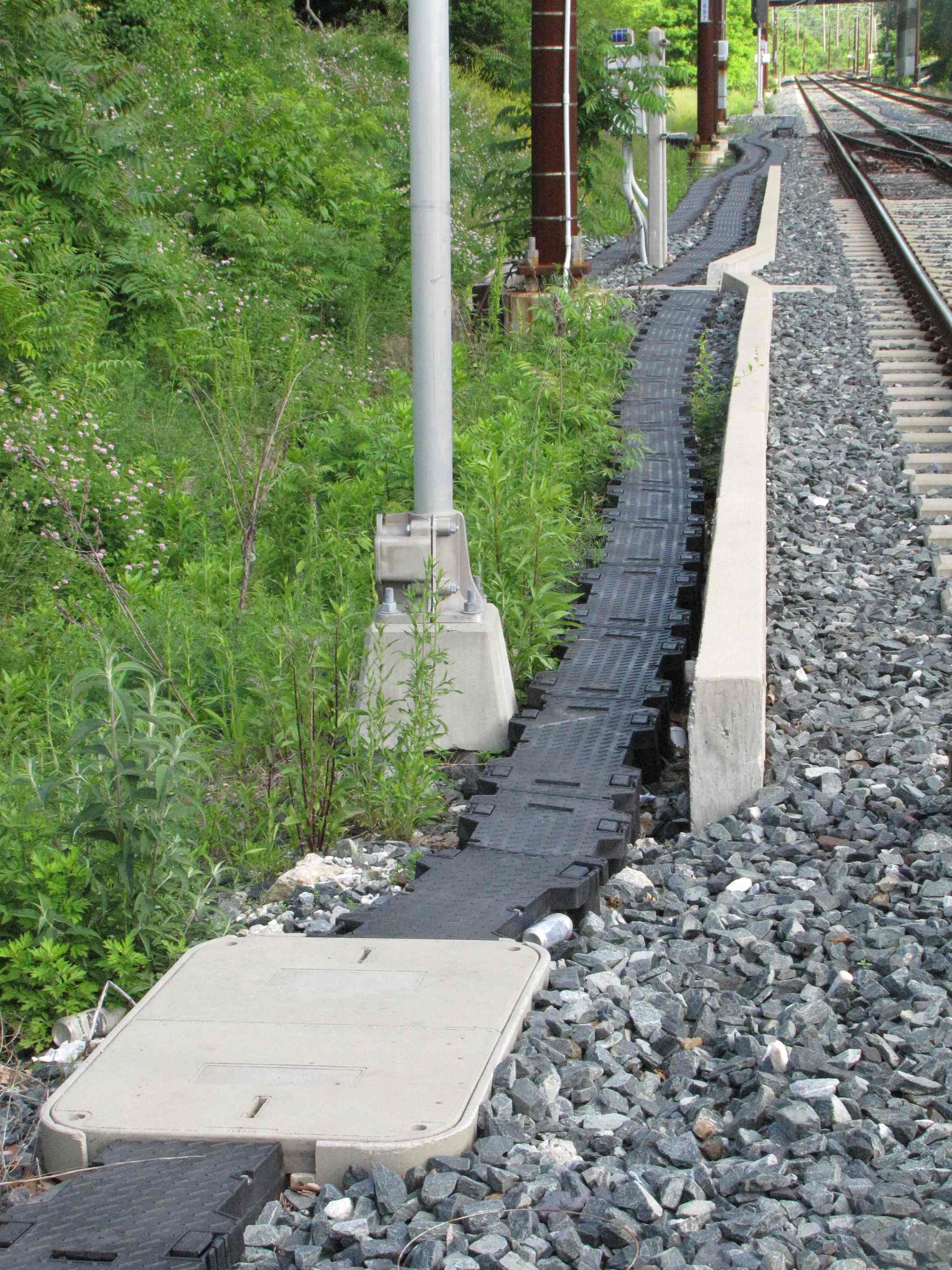
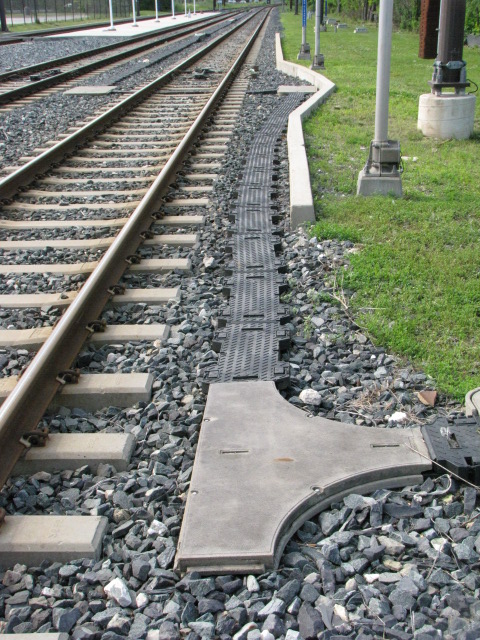 Ductwork used for running the cables in, instead of running them overhead and/or on poles.
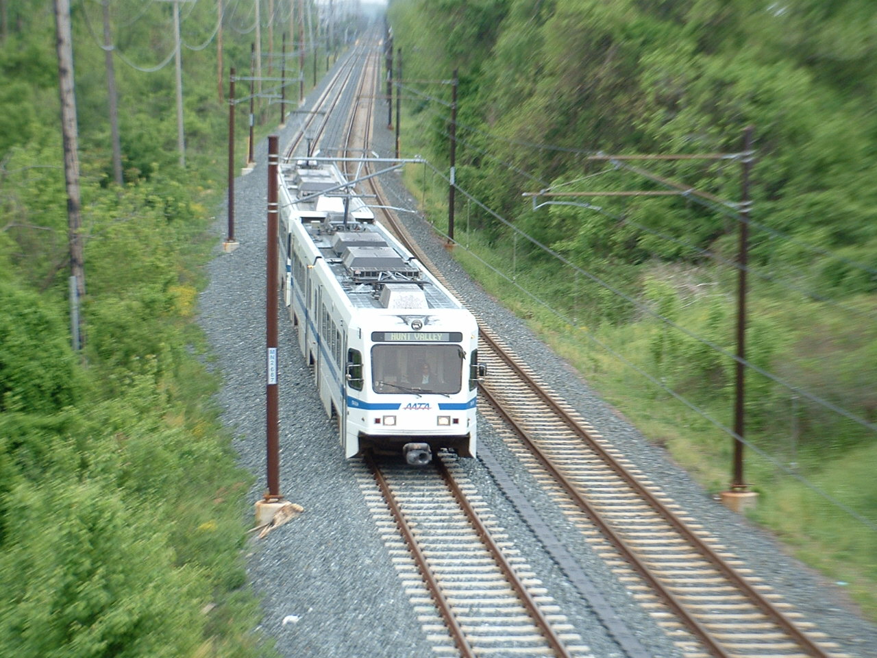

 NB train at Timonium Road
 NB train from the "other" side of the grade crossing
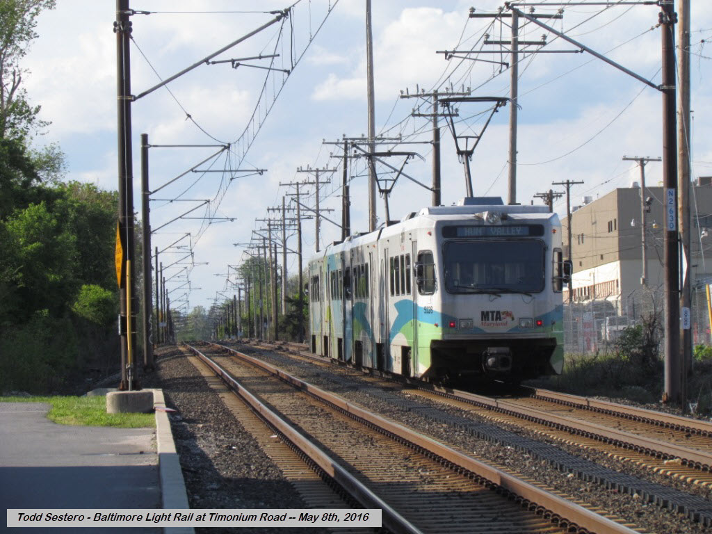 NB train at Timonium Road
 SB train at Timonium Road

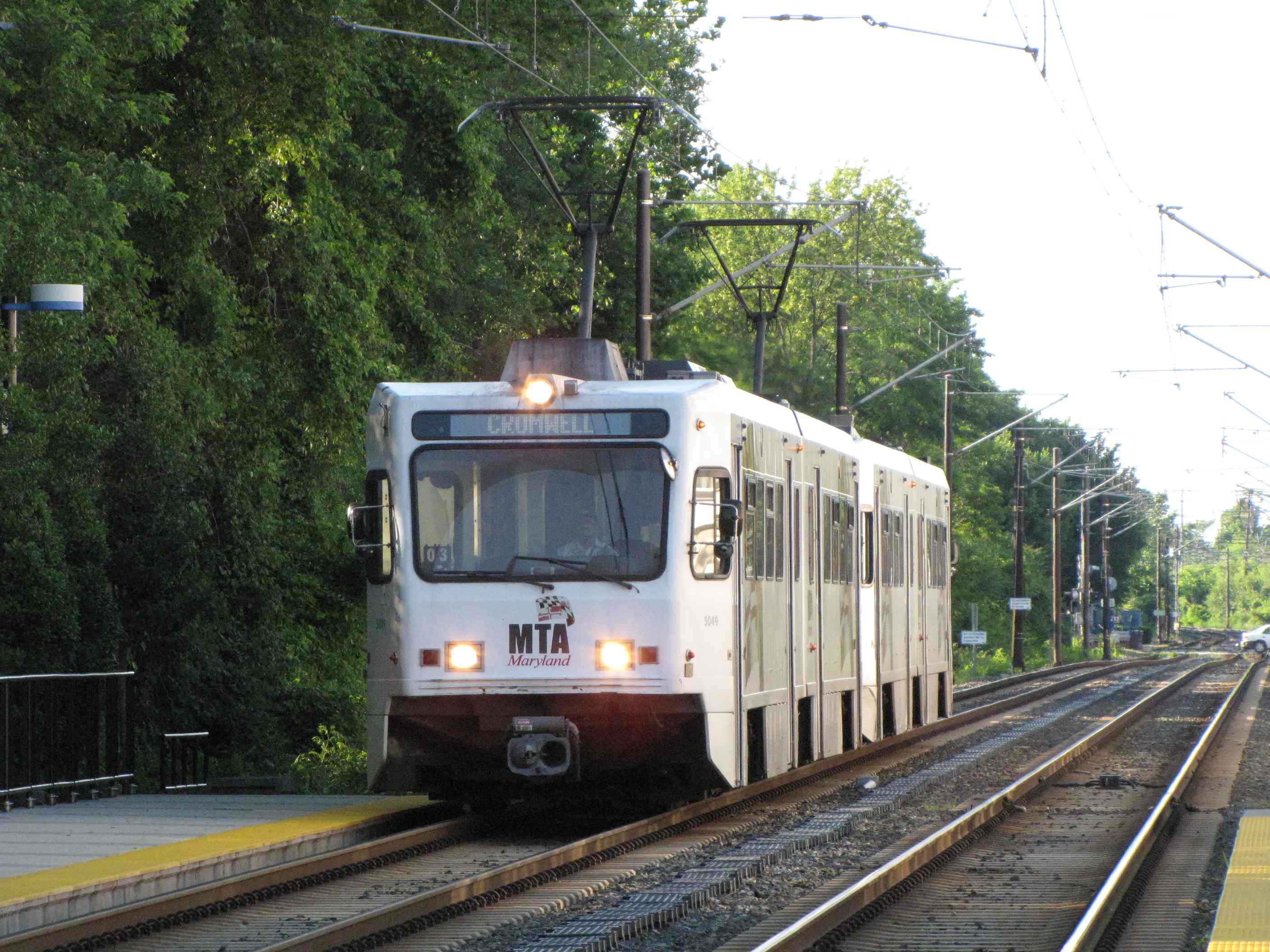
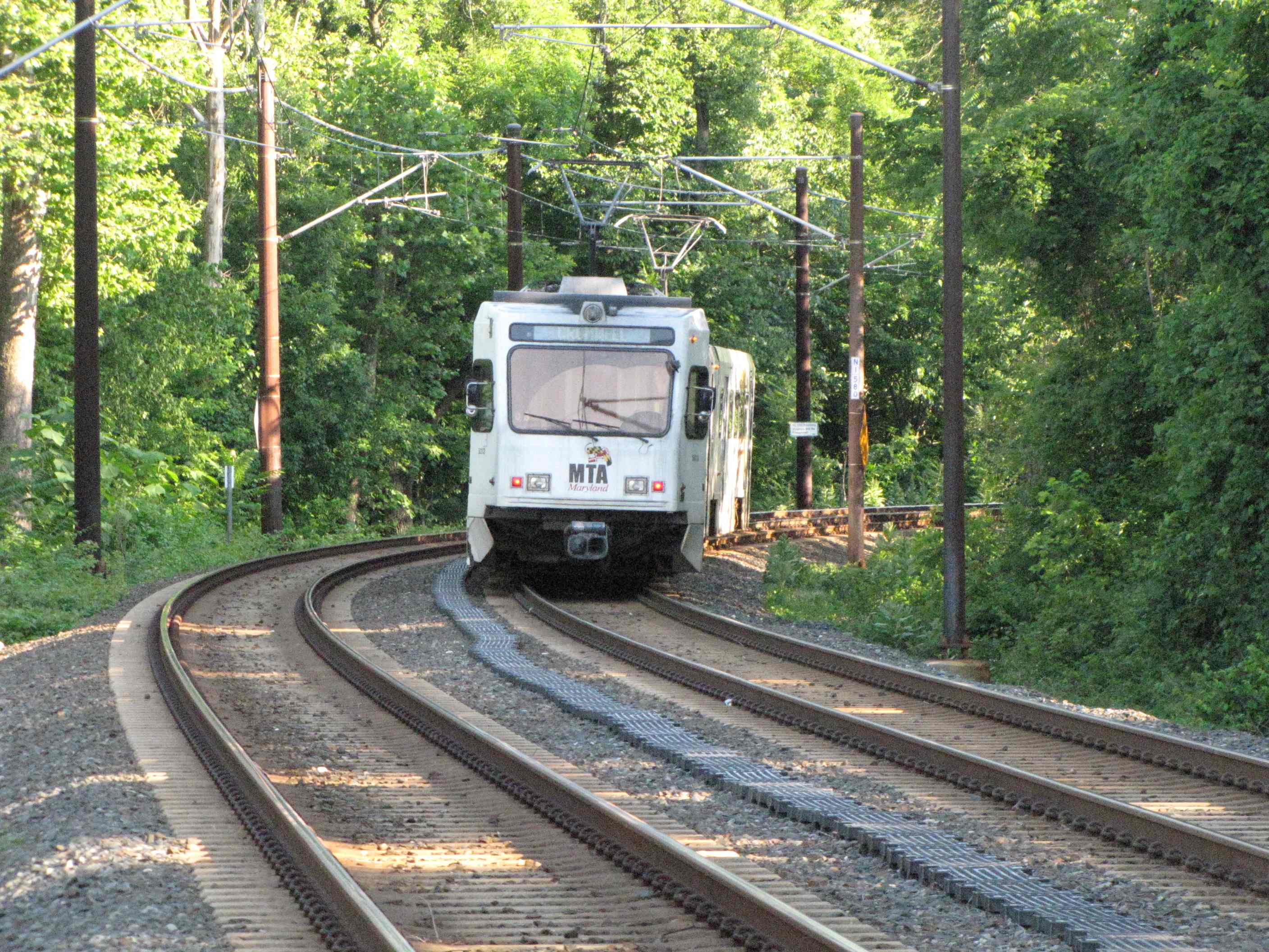


 Coming from the Lutherville station at Ridgely Rd, and heading into station.