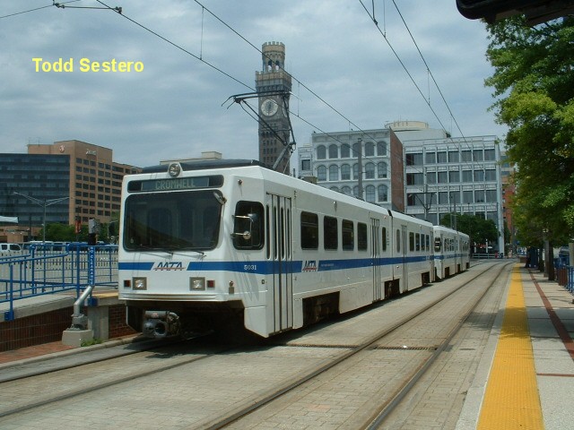
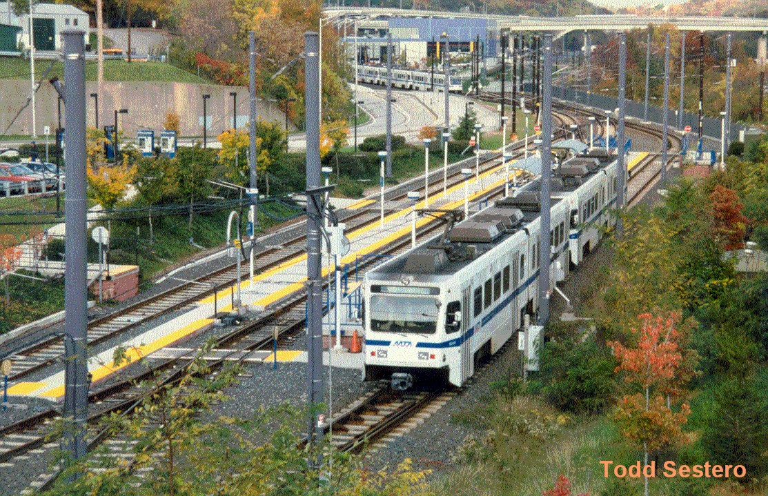
A southbound "2 pack" running alongside Howard St, stopped at the Convention Center.
The Bromo-Seltzer tower is in the background, and Camden station is behind me to my left.
The tracks just left the middle of Howard St in the background.
RAILFAN GUIDES HOME RAILROAD SIGNALS HOME
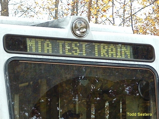
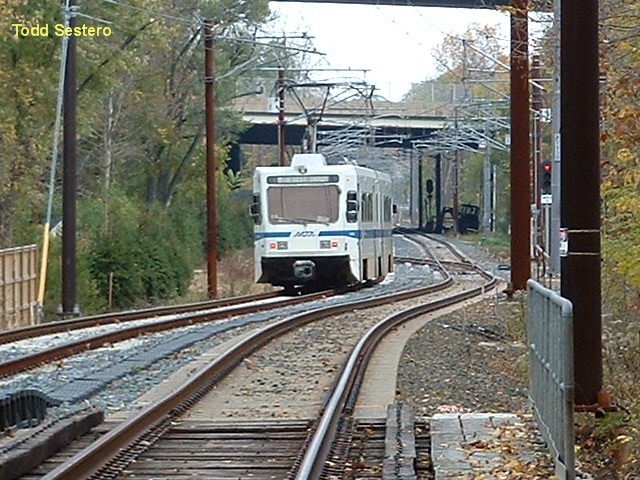
This page was originally done "way back in the beginning", in 2005 when I first
started my website and didn't have separate pages for most of the pictures contained
on this page, but I have left them here because it is a convenient place for them.....
Sorry for the quality, most of the pictures are scans of prints with an early
2000's scanner.
"Up" in Hunt Valley and Cockeysville
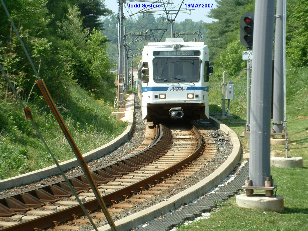
SB train rounding the curve heading into the Pepper Rd station
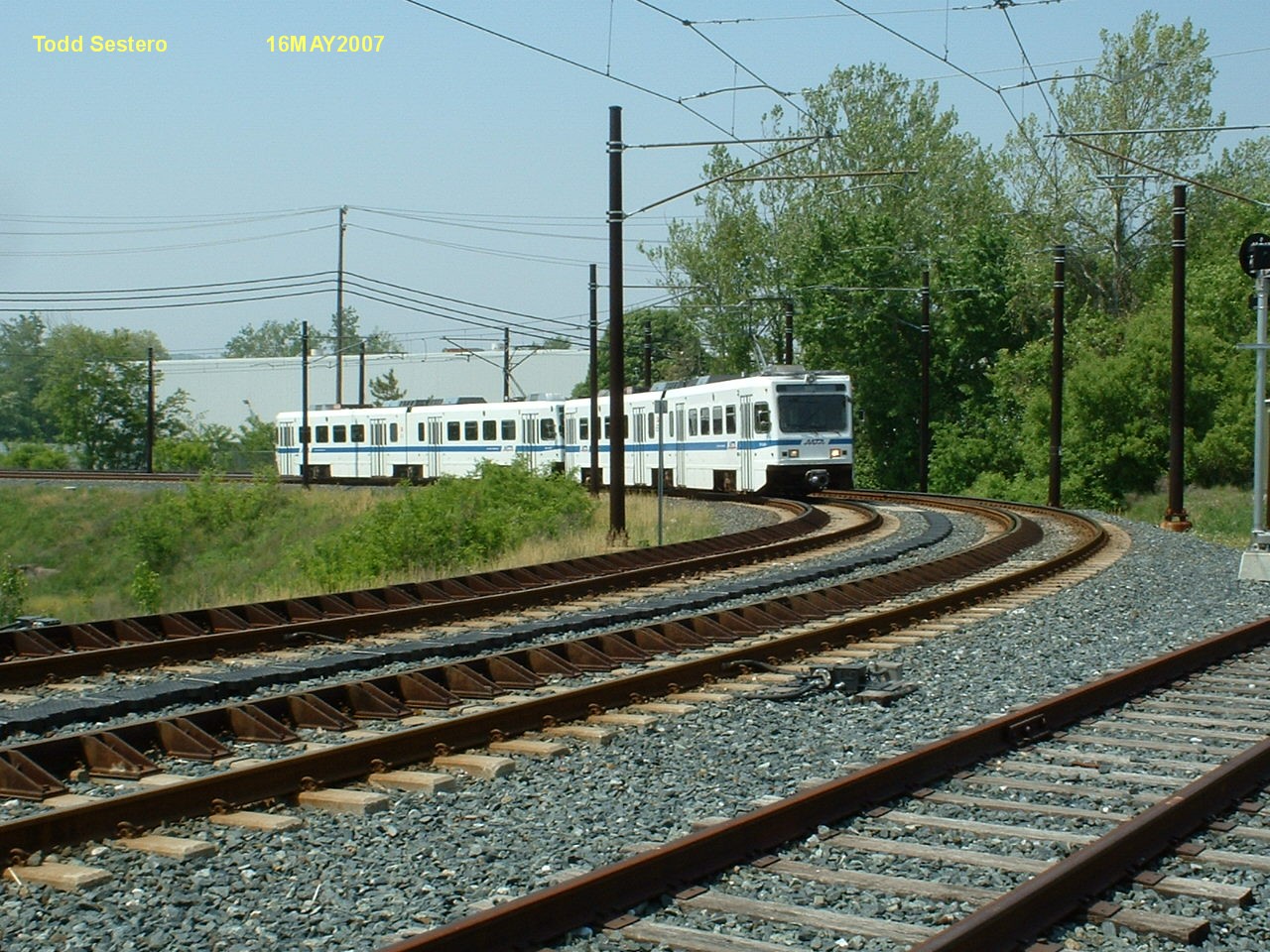
SB train coming up the short grade from Shawan Rd in Hunt Valley
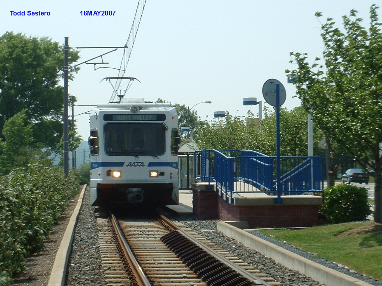
NB train at the Pepper Rd station
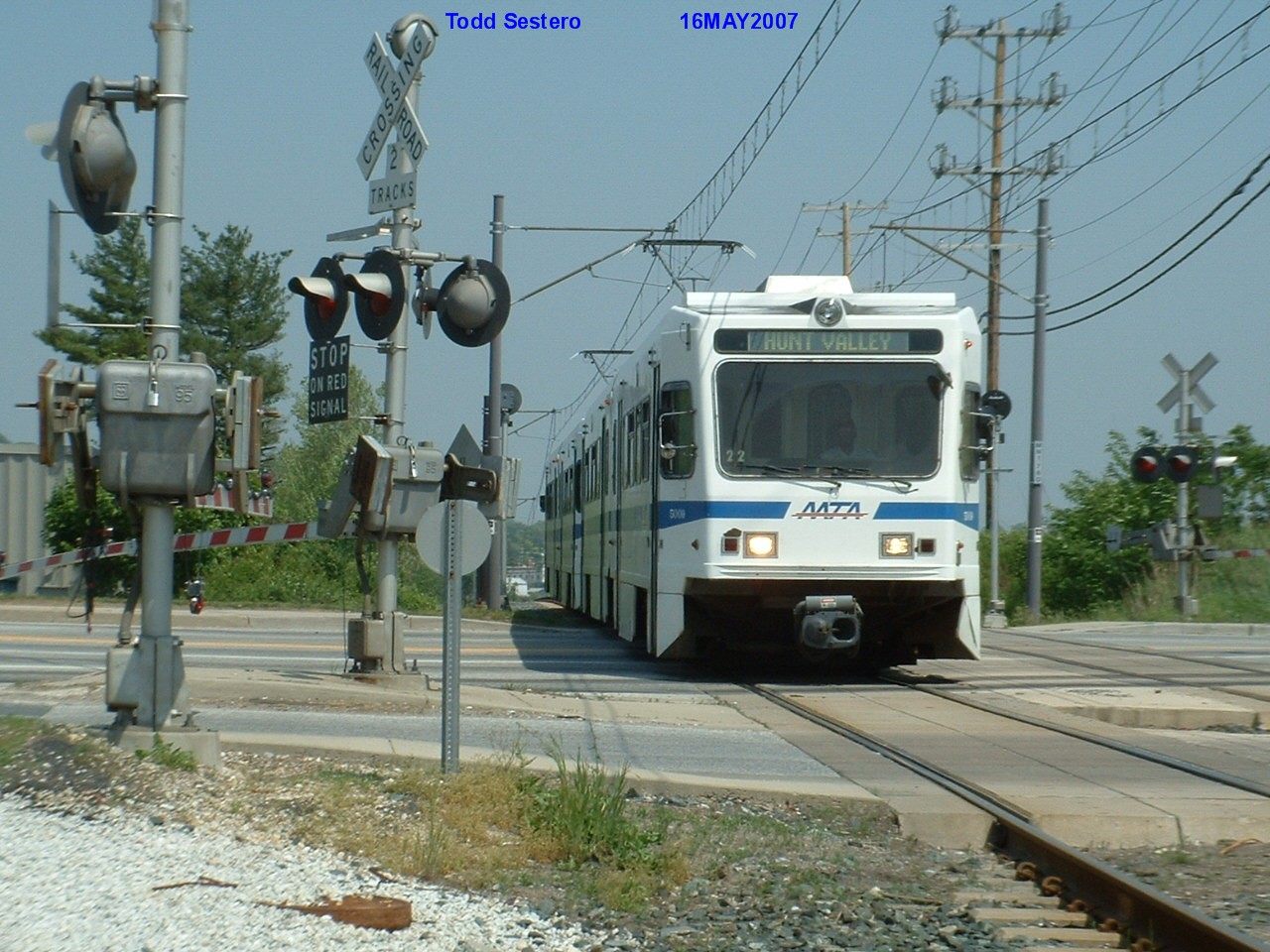
NB train at Beaver Dam Rd in Cockeysville, Warren Rd is to the right of us
SB train climbing small grade in order to cross Warren Rd.
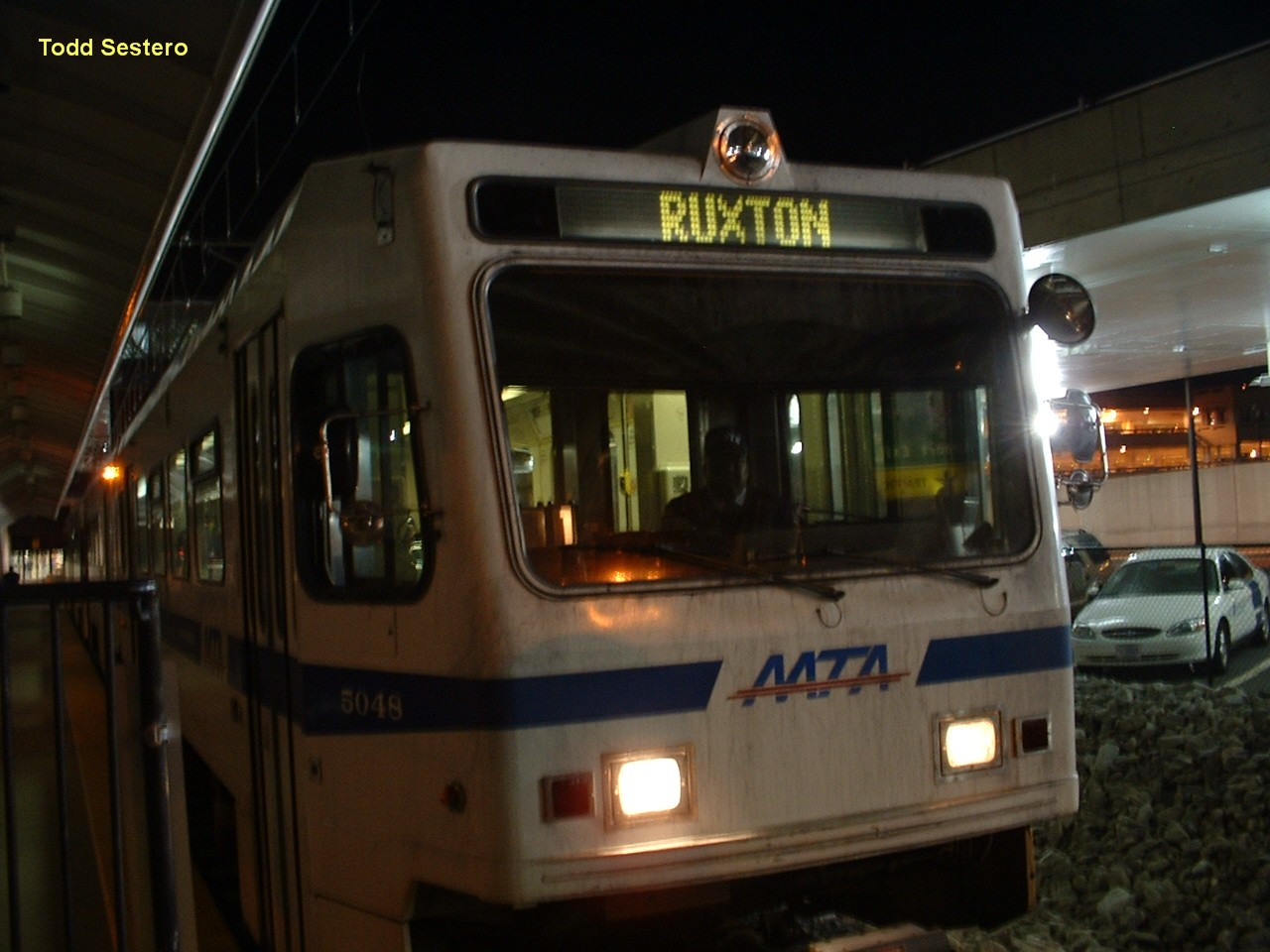
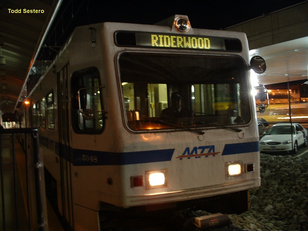
Two destinations you can find on the map, but you can't there from here! :-).
When I worked in railcar maintenance back in 95-98, I programmed these two
destinations, Ruxton and Riderwood, into the ODK. I'm surprised they are
still there today. If you get to Baltimore and want them displayed, ask
the operator for destination 198. Most of them, if not all of them, don't
even know the code exists. These pictures were taken at the BWI station on 11-2-05.
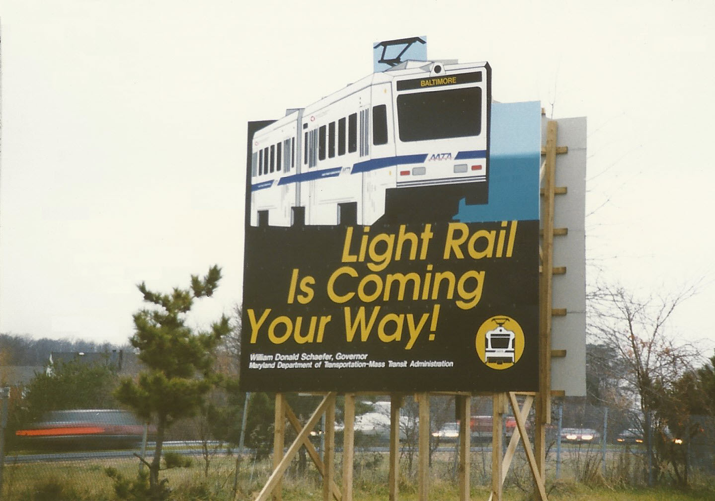
Before.....
A billboard from before the light rail system opened in 1990.
I probably took it in 1988 or 1989 when one could
still drive down the old Pennsy R-O-W without getting in trouble.
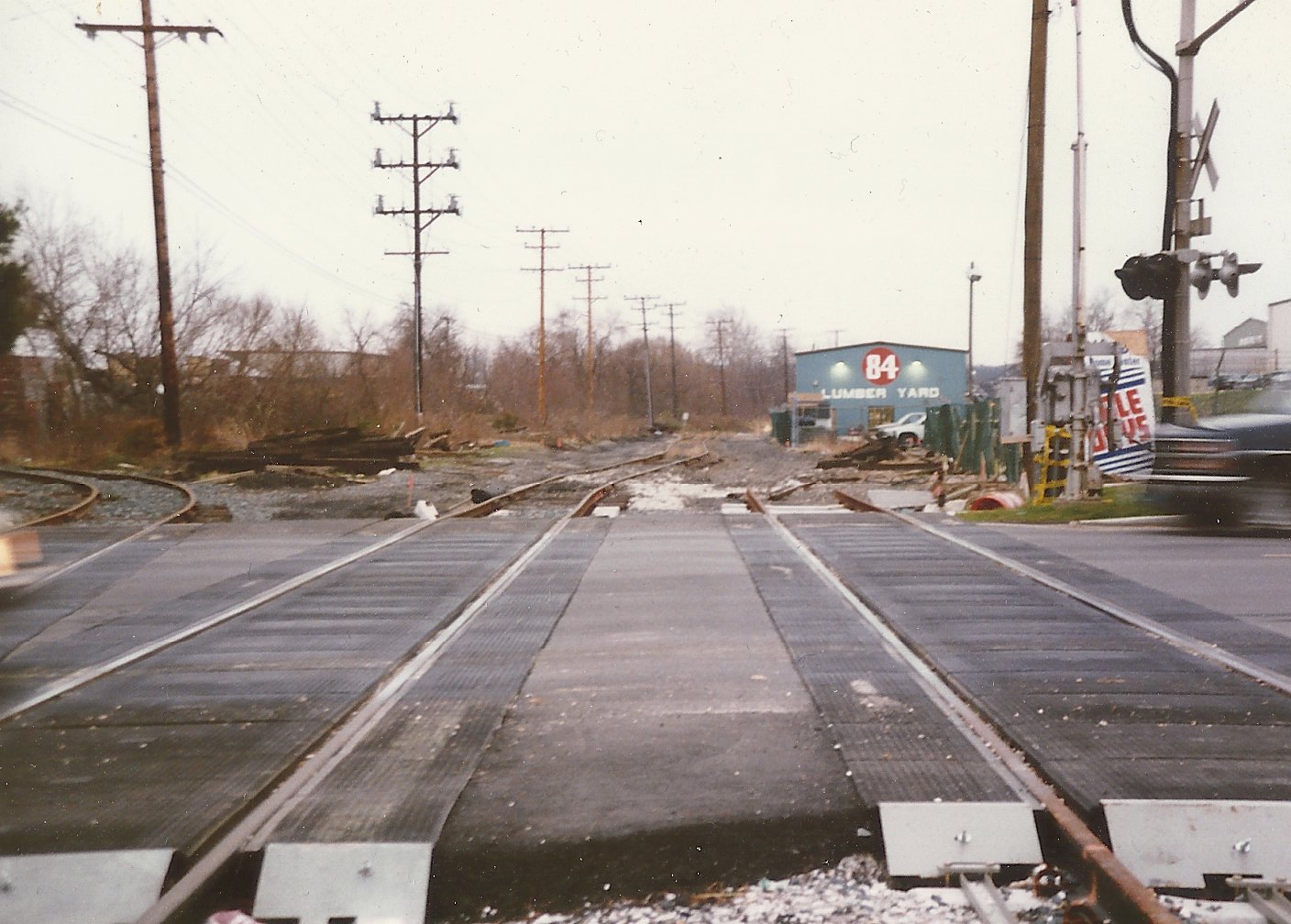
The Timonium Road grade crossing in (probably) 1989. They have
worked on this grade crossing countless times over the years (more than
most of the others, it seems): in the late 80's in preparation for the light
rail system, in the 1989 timeframe to build the system, in the early 90's to
remove the Saco Supply siding going off to the left,
in 2005 for the double-tracking project, and then around 2010 to
completely rebuild it. Saco Supply moved to Cockeysville Rd in
Cockeysville, adjacent to the Northern Central R-O-W.
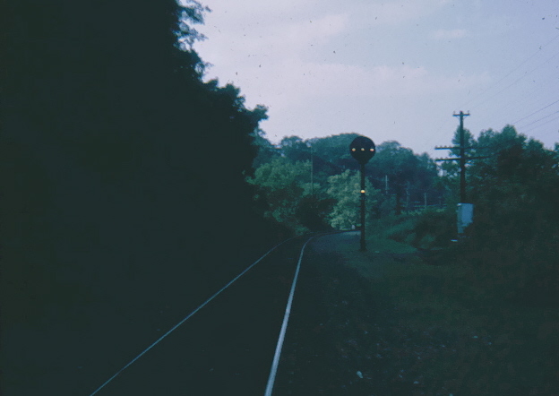
A picture that goes way back to 1970, when I lived in Ruxton. I
believe this Pennsy signal is the one just north of the bridge that goes over Lake
Roland, north of where the current Falls Road station is. There was
both a SB and a NB signal here, and somewhere, I have the electrical
drawings for the signals. The bridge is just out of sight around the
curve. After Hurricane Agnes in 1972, the signals on the Northern
Central became pretty much unneeded because the line became a dead end
branch that ended in Cockeysville.
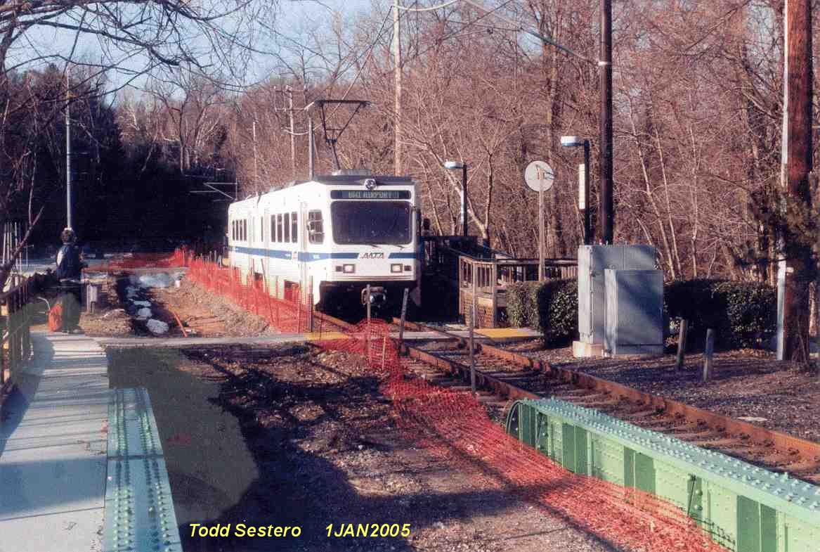
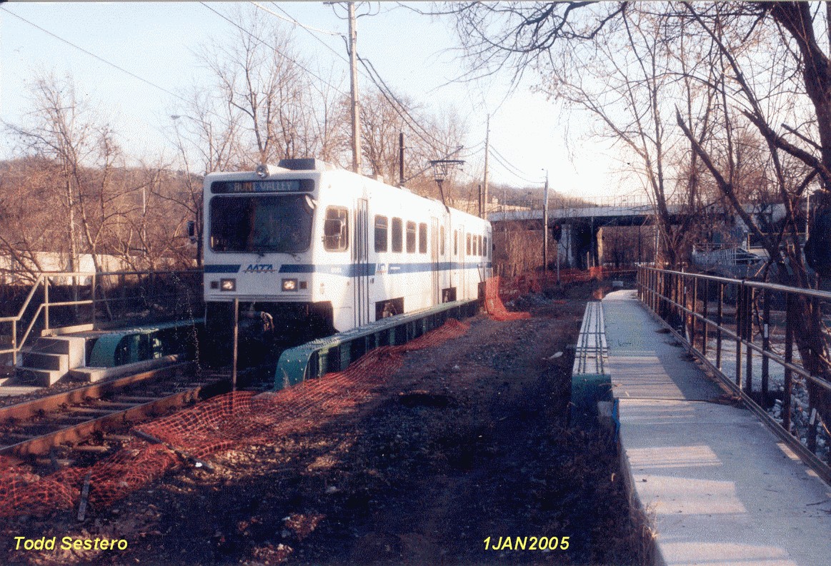
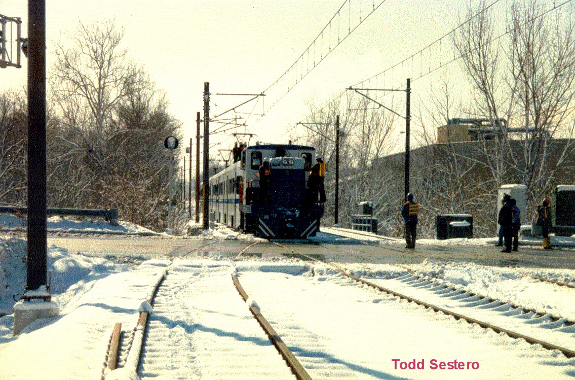
Pictures at the Mt Washington station on the last day of service before the
north end was closed for double tracking on January 1st, 2005.
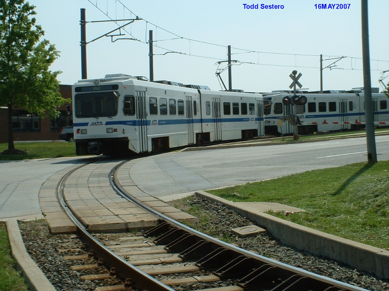
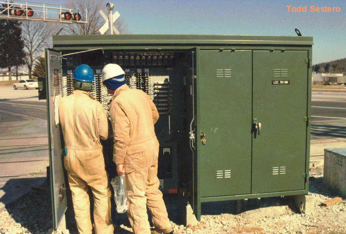
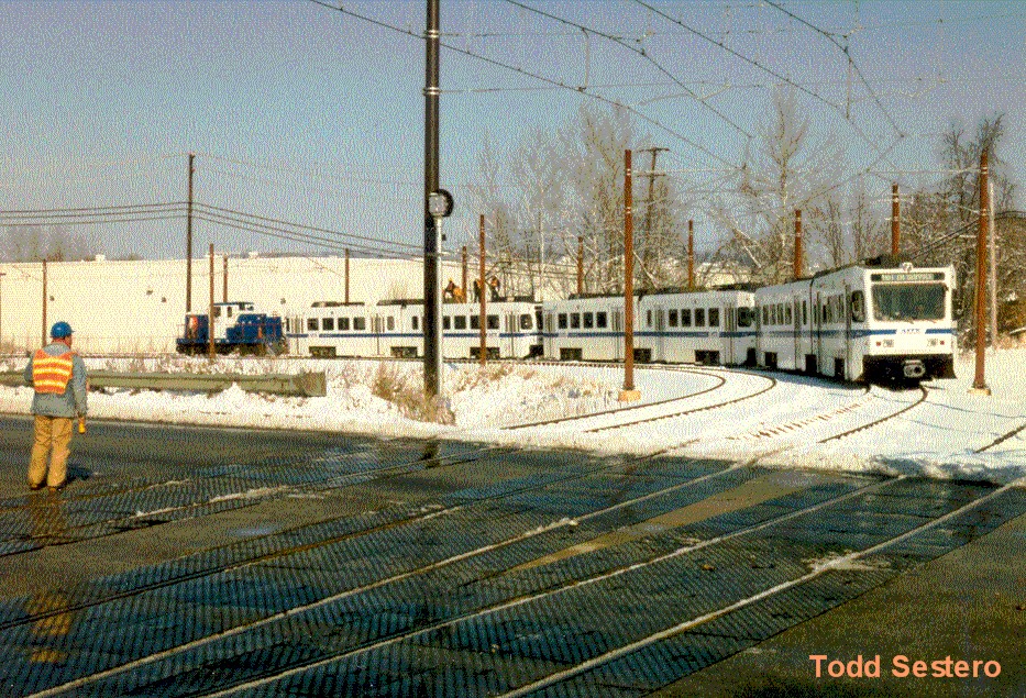
A couple of contractors checking out the grade crossing equipment at Warren Rd
before the Hunt Valley extension was placed into service.
Here are a few shots from around the
system, most of which were taken during the years 1995-1998 when I worked in
railcar maintenance.
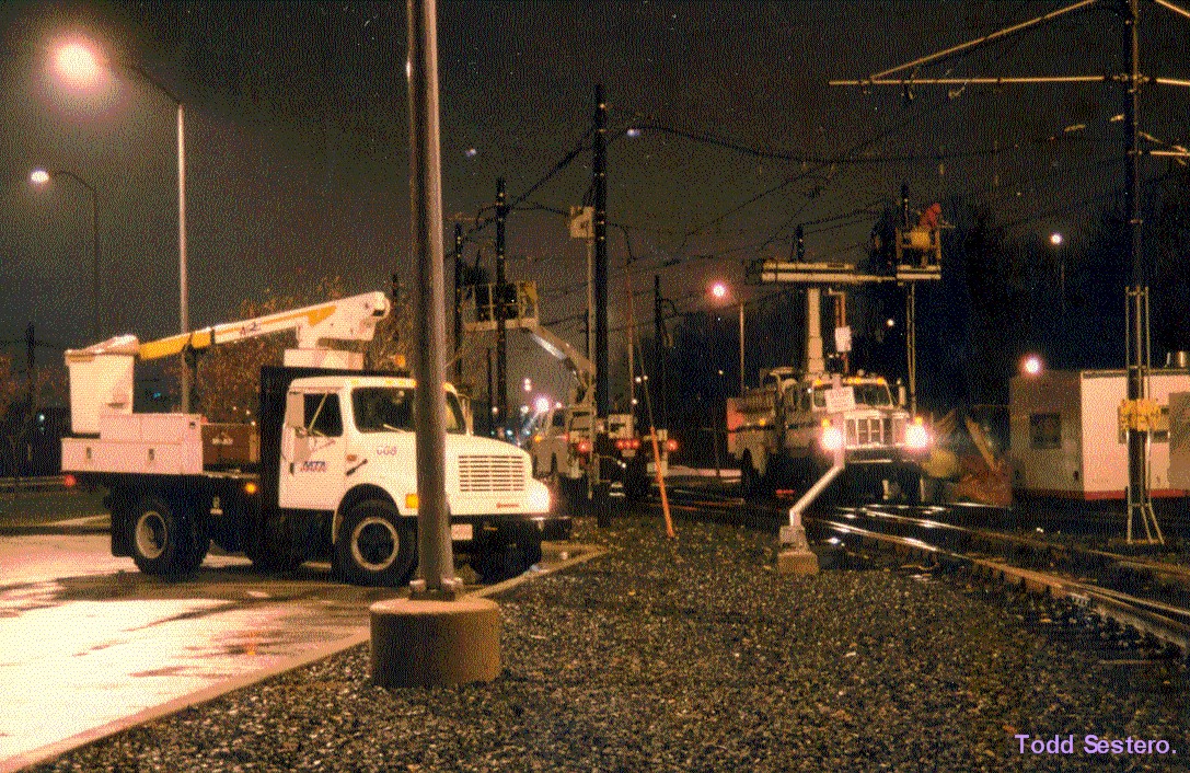
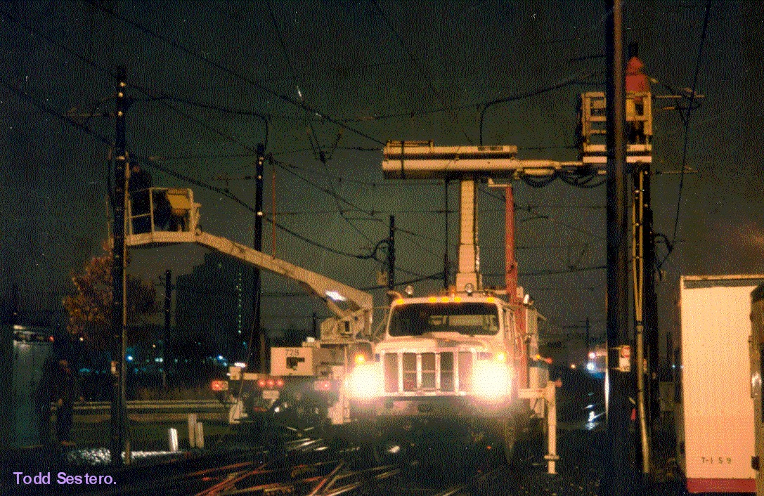
Night time wire work in the yard at North Avenue, ~1997.
Southbound approach signals coming into the North Ave station, adjacent to
the North Ave shops, ~1997. This is the ONLY signal that displays two
colors at the same time!
Shots from grand opening day of the Hunt Valley extension, September 9, 1997:
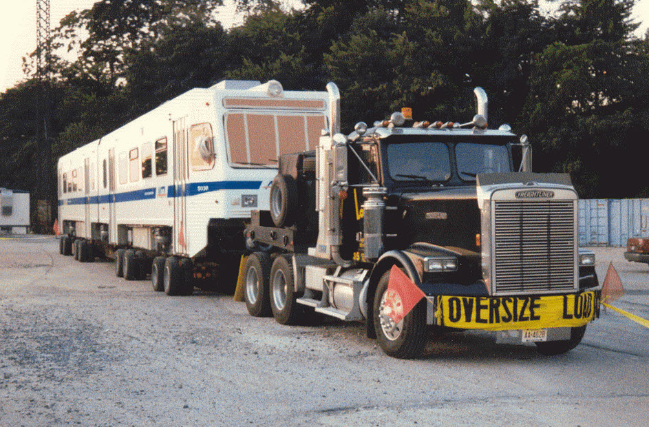
Delivery of car 5036 in 1997....
So there I am, on Road A where the truck was parked overnight. I started taking
pictures, and the next thing I know, I'm surrounded by 4 or 5 MTA Police cars.
Even after showing them my MTA ID, they all still wanted to give me a bunch
of crap (to keep this nice), and wanted to know what I was doing there.
I said go in and ask the boss, he'll tell you I take pictures of everything.
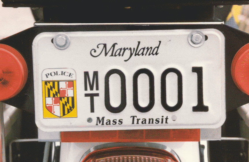
One of the assholes even gave me a hard time about my license plates, cause
I had "year stickers" on there for the past 5 or 6 years, and he said I
could give you a ticket for each one, and I said to him, "is that really
what you want to do for your days work is to take a fellow MTA employee to
court for something that stupid??? They like to flex their muscles and
get a bad reputation in the process.
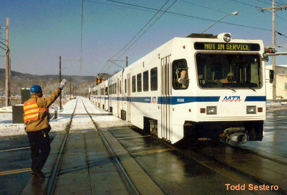
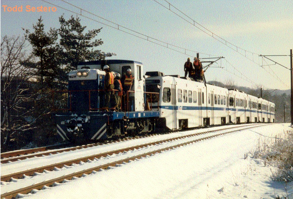
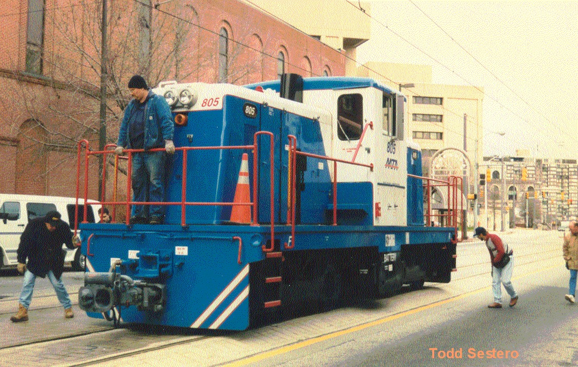
805 pulling a 3-pack at Warren Rd to test the catenary for alignment before energizing and revenue service, early 1997.
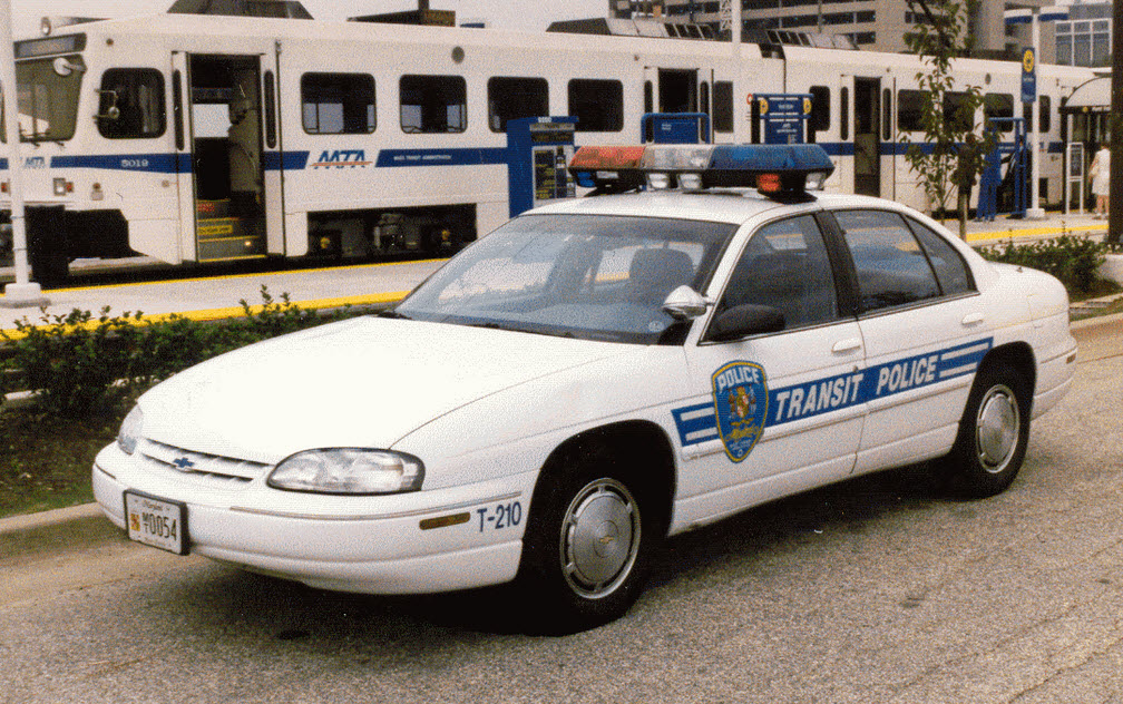
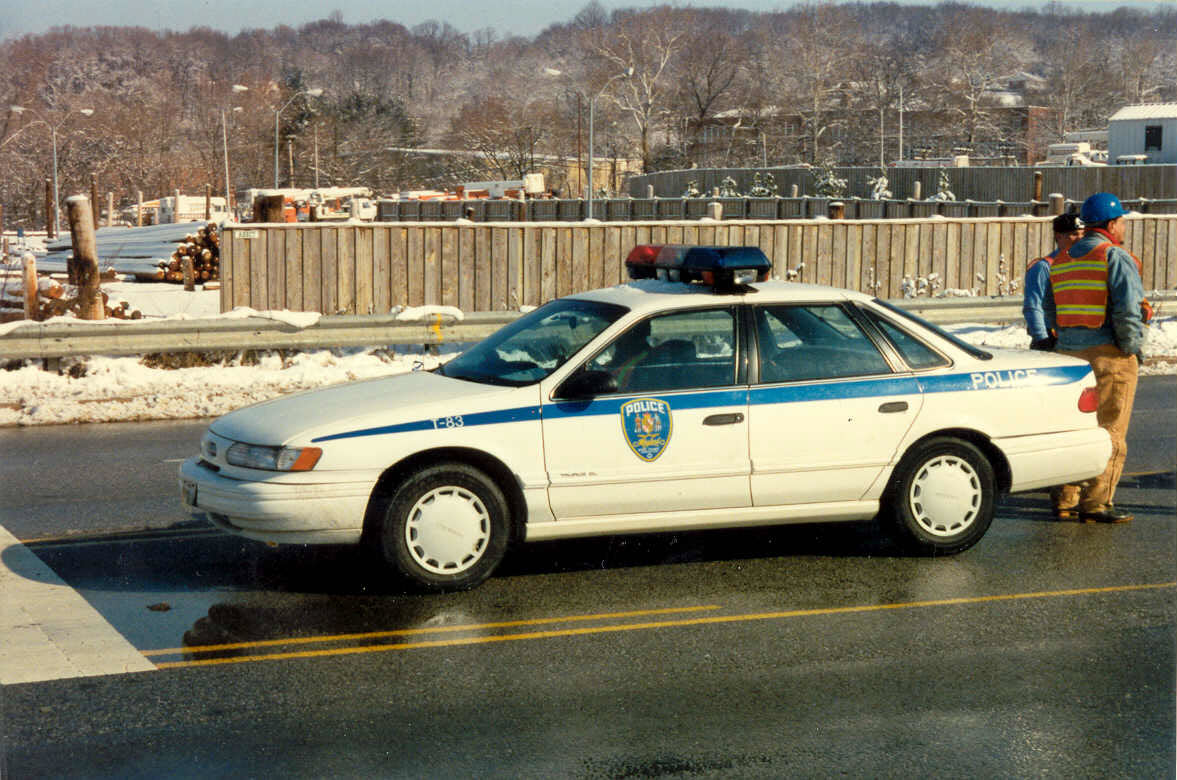
An MTA cop, AKA 95's, protecting the Warren Rd crossing while the testing is going on.
First time 805 went down Howard St, I guess they didn't believe the thing would clear
the street, why else would everyone be looking at everything under it?
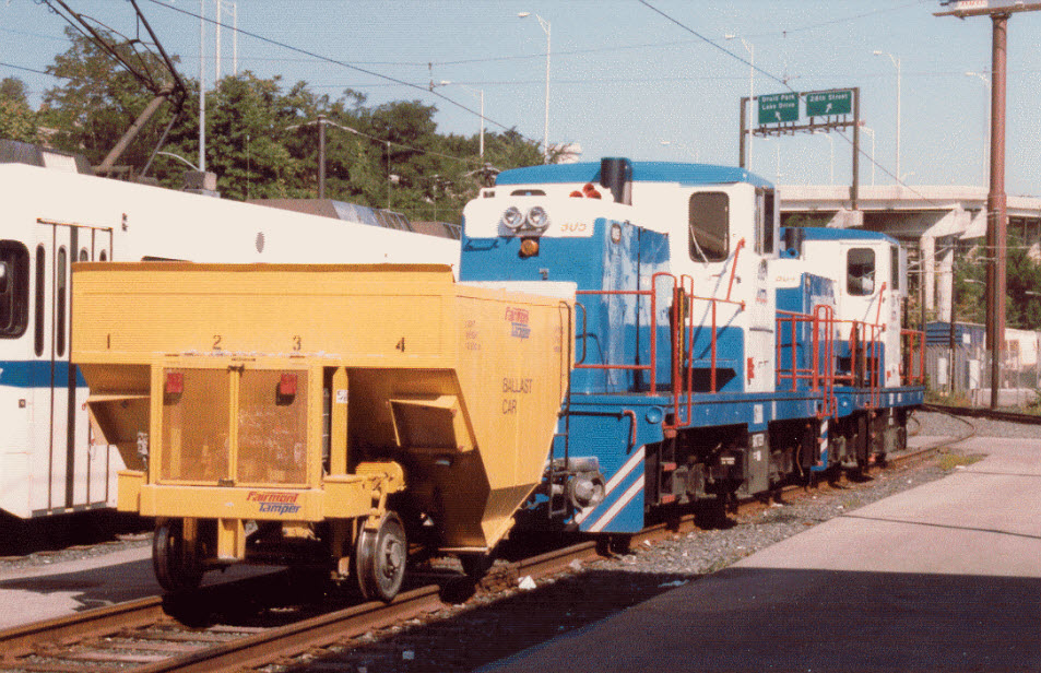
805 and 804 sitting in the North Ave yard.
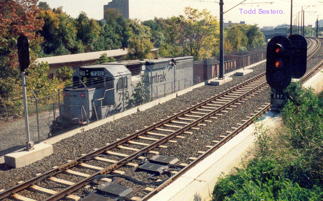
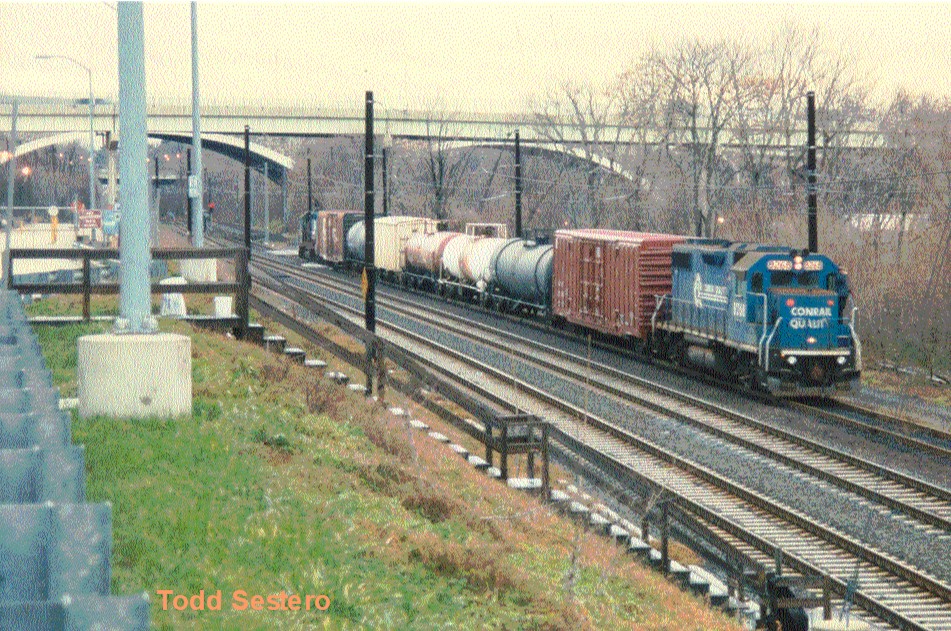
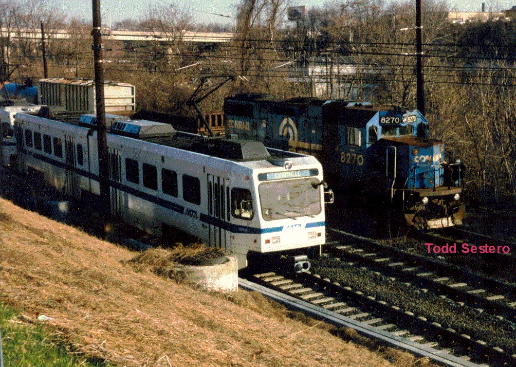
Two different Conrail freights waiting to go back to Bayview Yard after having spent
the night running up the Light Rail to Timonium during the off hours between
01:30 and 04:30. If the freight can't make it back in time for the start of
revenue service, they will park it on the siding at Warren Rd in
Cockeysville. Once in a great while when we were doing brake rate tests in
Timonium, we would have to "chill" while waiting for the freight to pass
us. The 28th St bridge is in the background, and the steps lead down to
the Relief Point, where they exchange operators. NS took over the
freight operations with the Conrail split-up in 1999, and they continued
freight service until the double tracking project began in 2005, then
applied to abandon the line and we never saw a freight train after that.
Here's a shot from the North Ave bridge, that goes over the Light Rail (and the CSX
mainline), the shops are in the background with a train sitting on the yard
leads. You can great shots of freights coming from Philly just a few feet
away, and they're on a curved girder trestle.
A busy construction photo of the interlocking for the small branch going into Penn
Station. Howard St bridge is in the background.
Ooooops, not sure if the truck or 5017 won this one on a Saturday night back in 1997 on Howard St.
A NB train rounding the curve at Lake Roland / Robert E. Lee park, just
north of the Falls Road station - the signal is no longer there.
A shot of an LRV on 3S from the 4S maintenance platform.
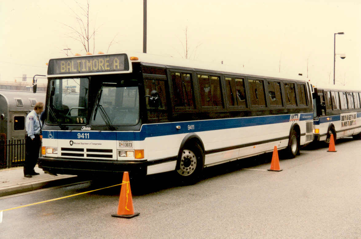
A couple of busses at Camden Station.
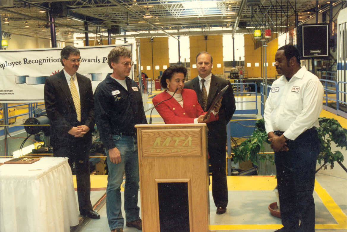
Yours truly getting a Customer Service award in
1995. Also in the photo to my left is John Agro, who was the top dog of the MTA
back in those days, and George Thompson on the right, a foreman at the time,
later promoted to Superintendent... he came from the Heavy Rail side around 1994.
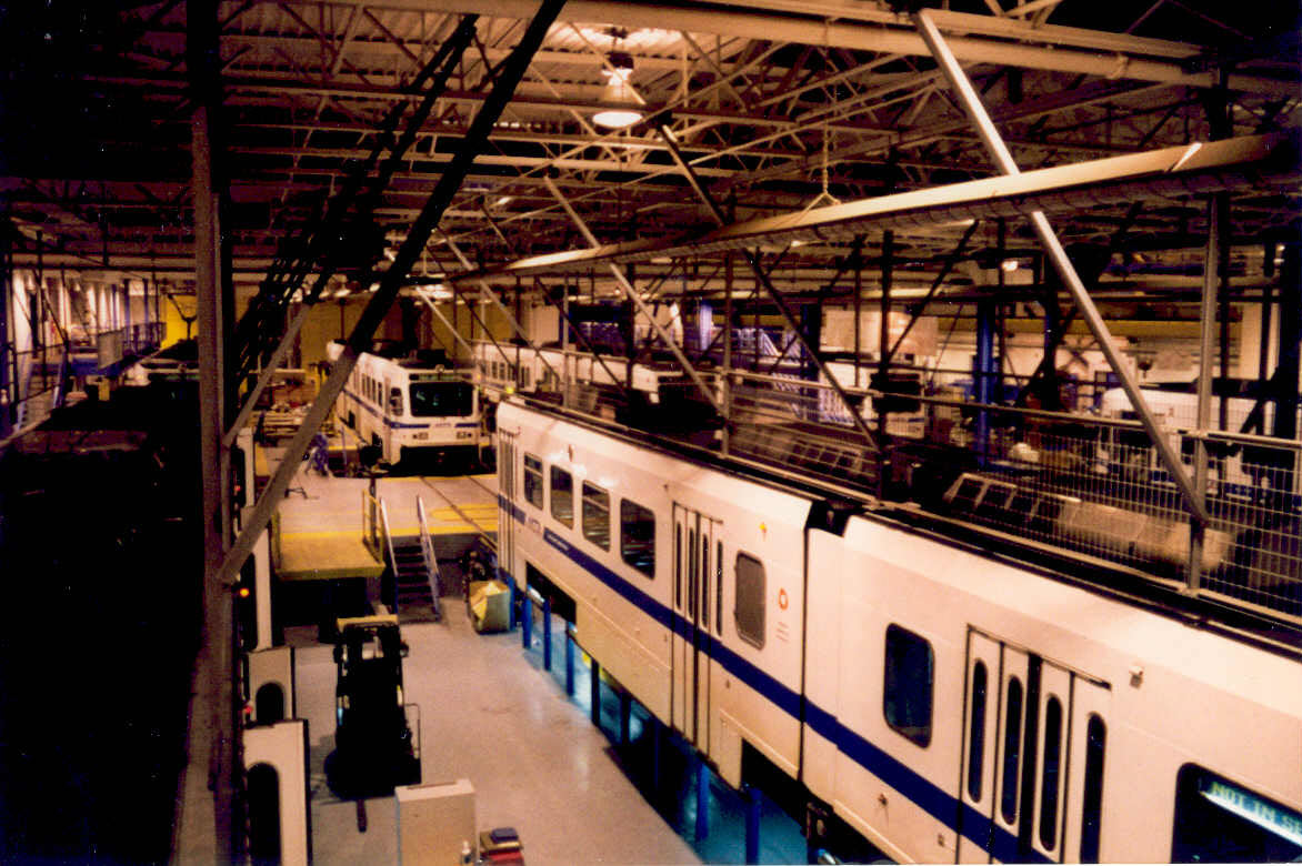
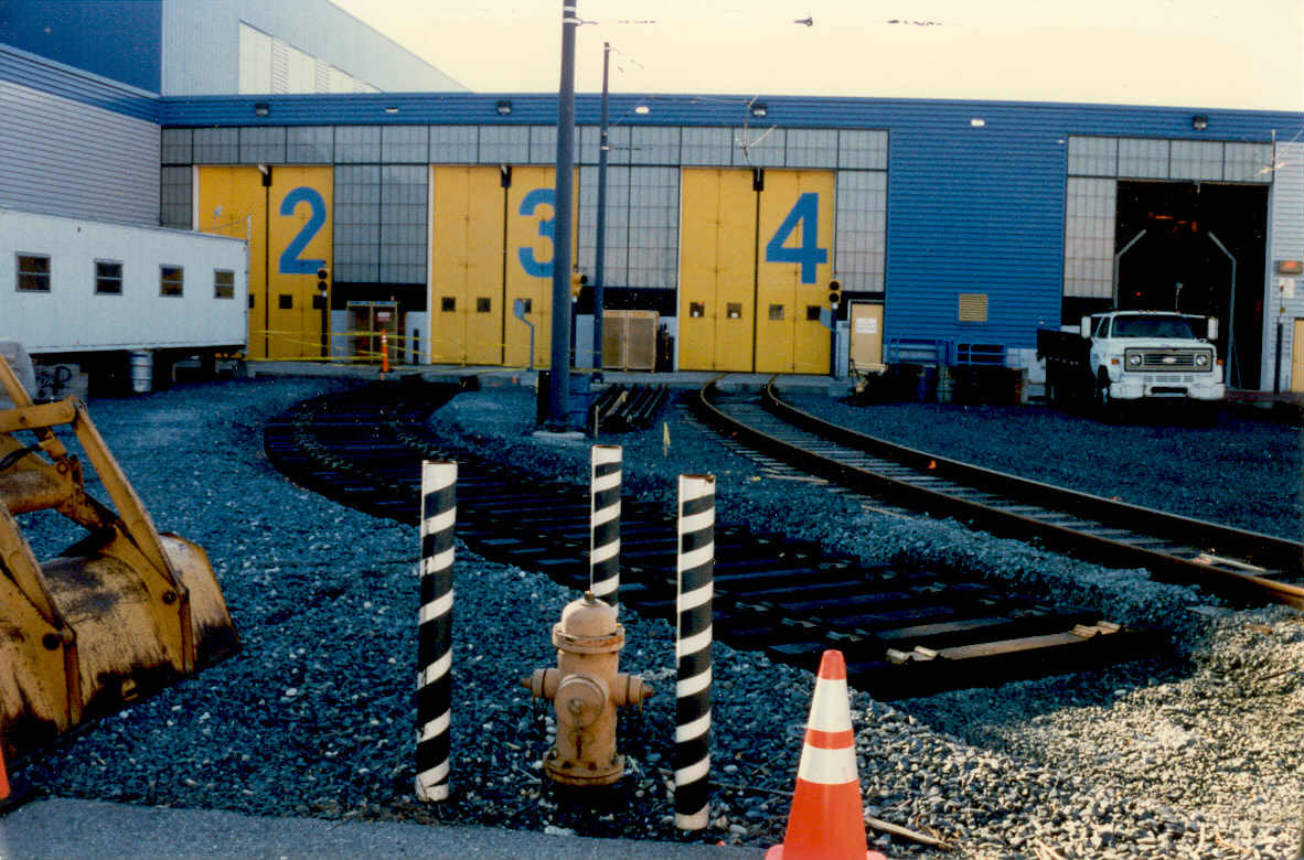
Track 3 being extended out of the carbarn on the north side, to join the tail track around the 1996 timeframe.
This is one of the few projects that our MOW group tackled, because most of
them, it seems, they pay contractors to do, I don't get it.......
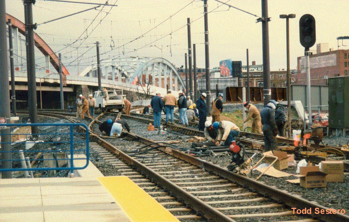
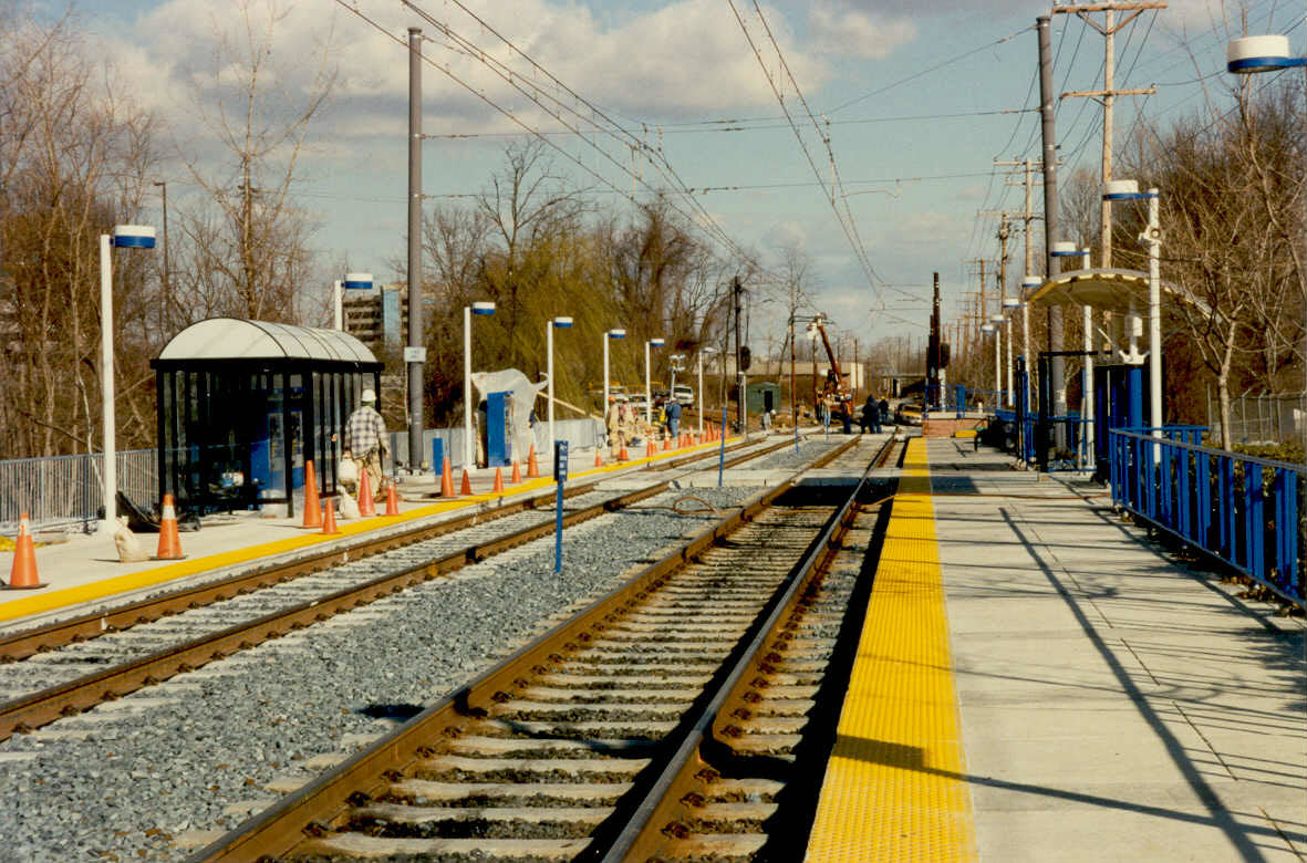
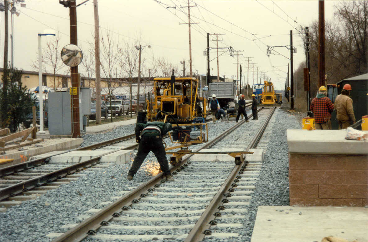
Construction Photos - North End Double Tracking Project
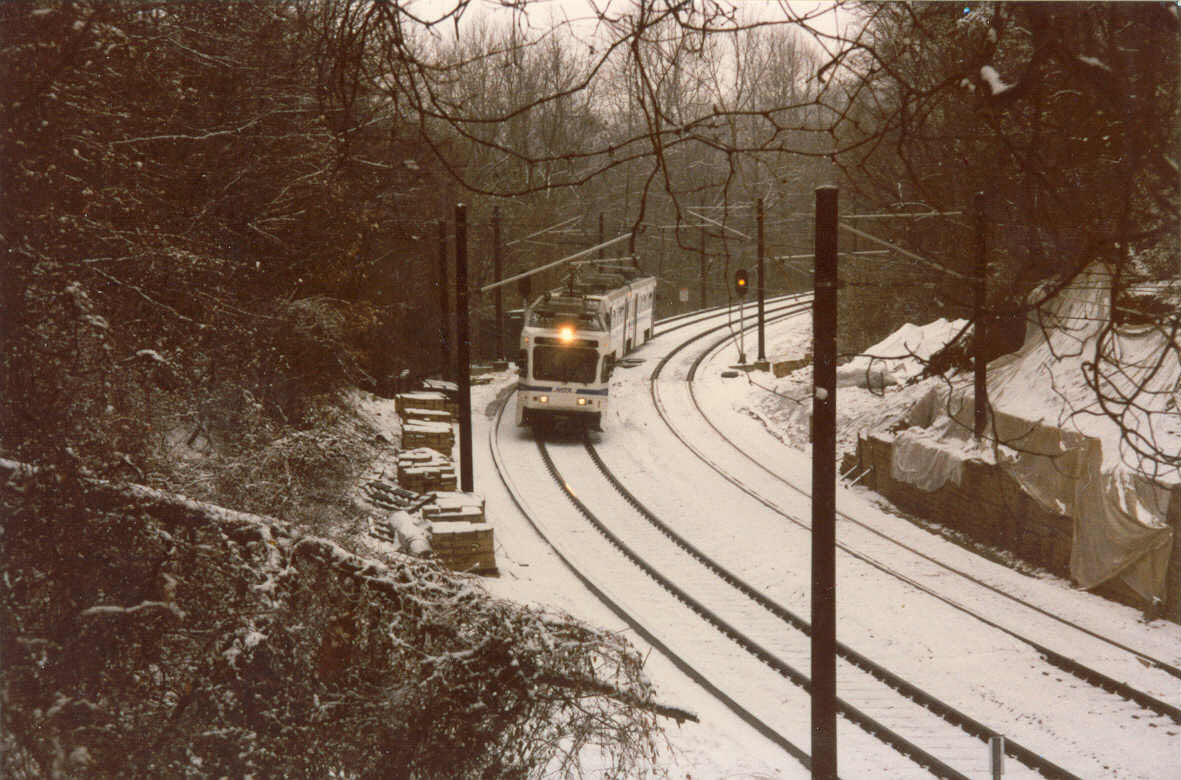
Three shots of LRV's finally back on the mainline, testing the tracks, catenary, and signals. Sunday 11-6-05.
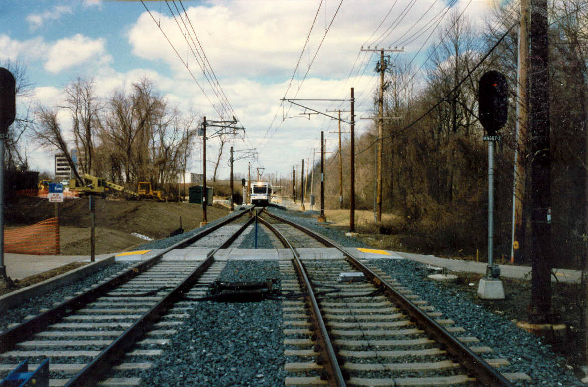
Construction photos from the double tracking at Timonium stop by the
Fairgrounds. The bottom photo is looking north, the others are looking south.
Disclaimers:
I love trains, and I love signals. I am not an expert. My webpages reflect what I find on the topic of the page. This is something I have fun with while
trying to help others.
Please Note: Since the main focus of my two websites is railroad signals, the railfan guides are oriented towards the signal fan being able to locate them.
For those of you into the modeling aspect of our hobby, my
indexa page has a list of almost everything railroad oriented
I can think of to provide you with at least a few pictures to help you detail your pike.
If this is a railfan page, every effort has been made to make sure that the information contained on this map and in this railfan guide is correct. Once in a while,
an error may creep in :-)
My philosophy: Pictures and maps are worth a thousand words, especially for railfanning. Text descriptions only get you so far, especially if you get lost or
disoriented. Take along good maps.... a GPS is OK to get somewhere, but maps are still better if you get lost! I belong to AAA, which allows you to get
local maps for free when you visit the local branches. ADC puts out a nice series of county maps for the Washington DC area, but their state maps do not have the
railroads on them. If you can find em, I like the National Geographic map book of the U.S..... good, clear, and concise graphics, and they do a really good job
of showing you where tourist type attractions are, although they too lack the railroads. Other notes about specific areas will show up on that page if known.
Aerial shots were taken from either Google or Bing Maps as noted. Screen captures are made
with Snagit, a Techsmith product... a great tool if you have never used it!
By the way, floobydust is a term I picked up 30-40 years ago from a National Semiconductor data book, and means miscellaneous
and/or other stuff.
Pictures and additional information is always needed if anyone feels inclined to take 'em, send 'em, and share 'em, or if you have something to add or correct.... credit
is always given! Please be NICE!!! Contact info is here
Beware: If used as a source, ANYTHING from Wikipedia must be treated as being possibly inaccurate, wrong, or not true.